Elevation of Starr Rd, Wyoming, NY, USA
Location: United States > New York > Genesee County > Pavilion >
Longitude: -78.043878
Latitude: 42.875169
Elevation: 317m / 1040feet
Barometric Pressure: 98KPa
Elevation Map:
Satellite Map:
Related Photos:
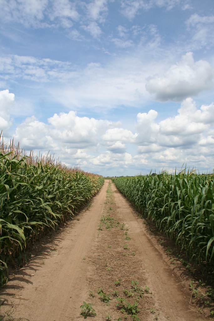
Dirt Road
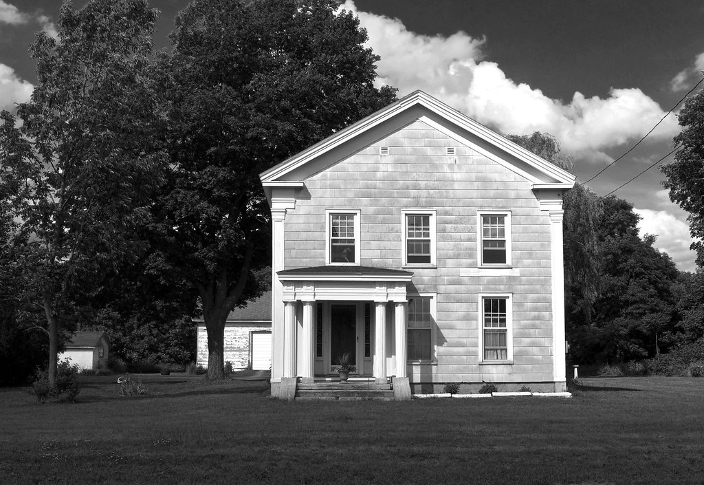
Greek Revival in East Bethany (revisited)
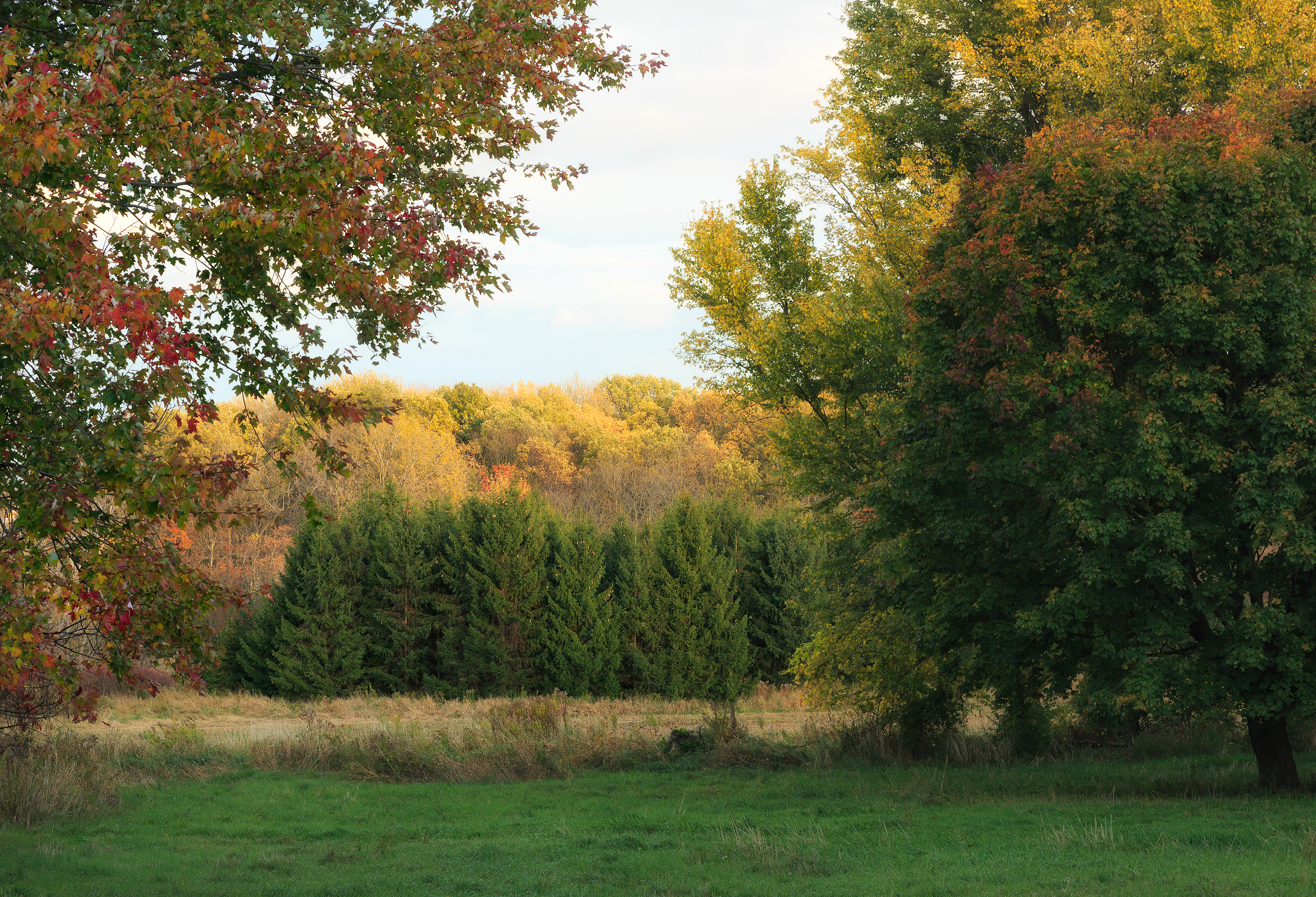
Spiral of Fir 2
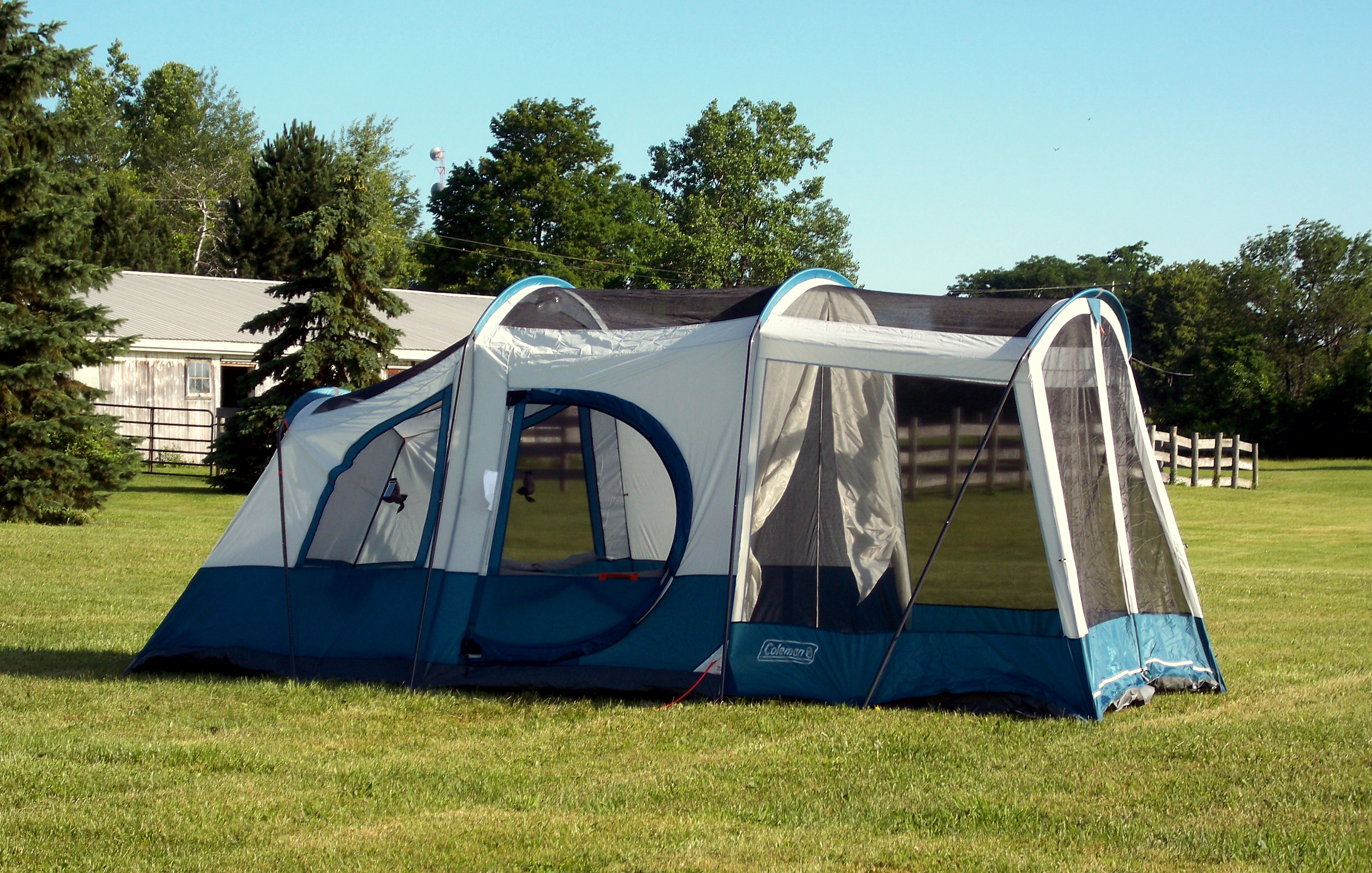
Colemand Weathermaster Elite Screened Tent

Toby-Patio
4"x5" ground glass
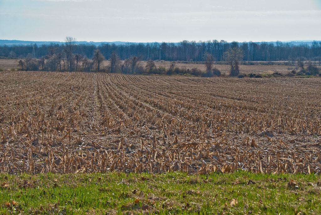
End-of-Life-Orchard

Easter-Toby
Viewing the Genesee Valley from Linwood NY
Pavilion, New York, Panorama 1
More Morning in Pavilion, New York
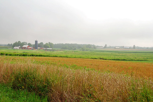
New York Countryside
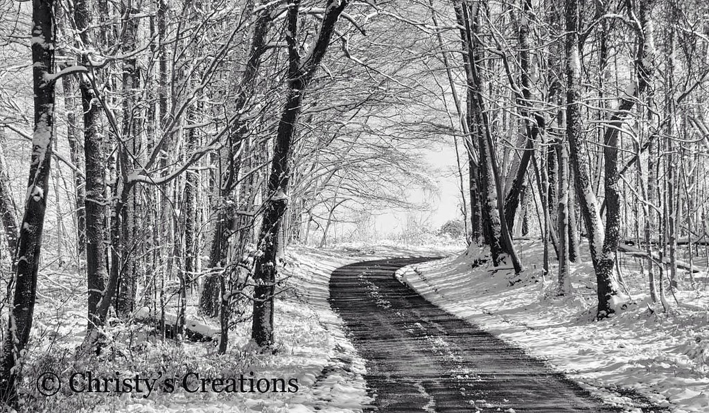
Dirt Road Memories
Night Shot of Genesee Valley
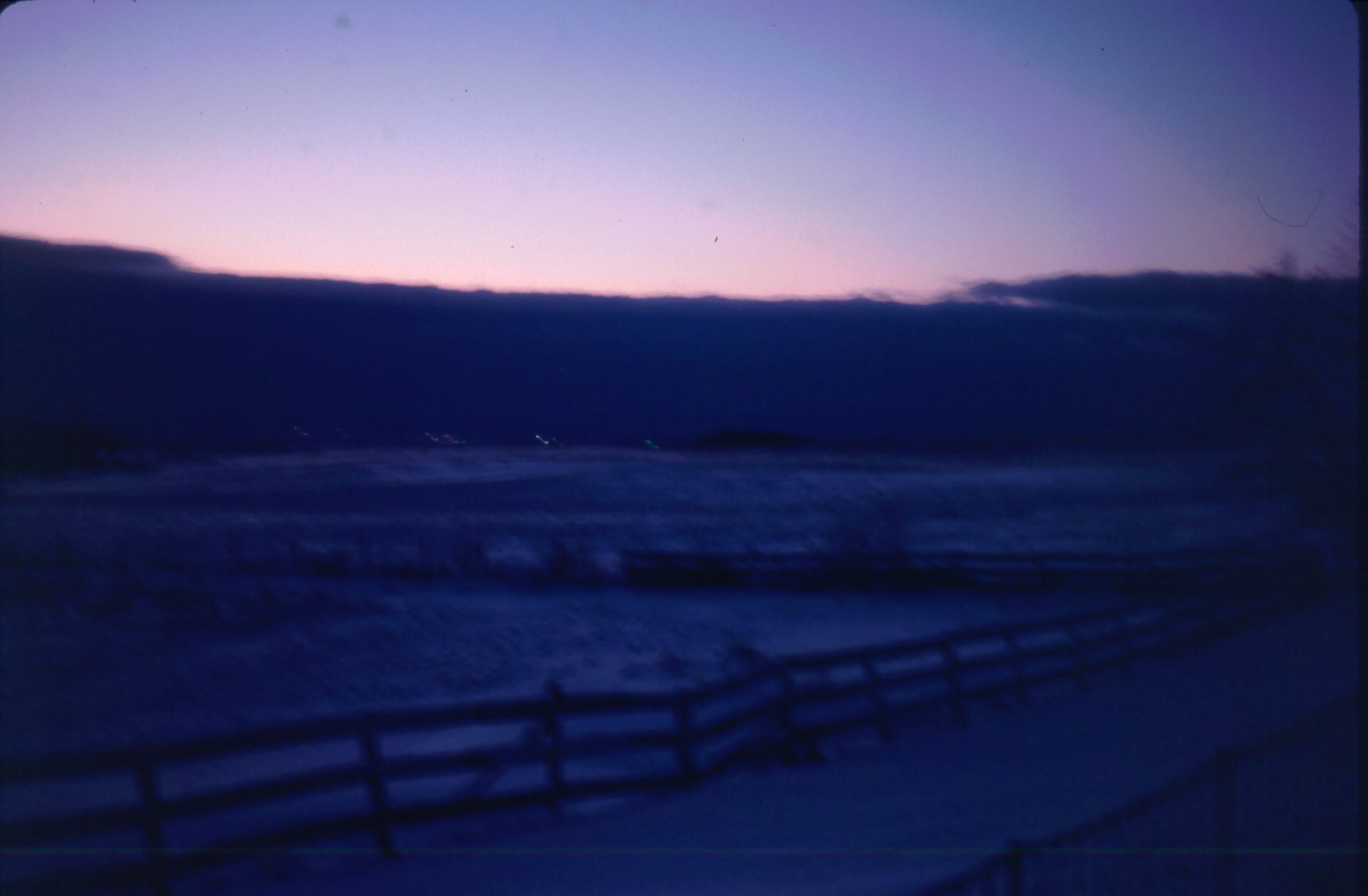
Night Shot of Genesee Valley

Crayfish Momma

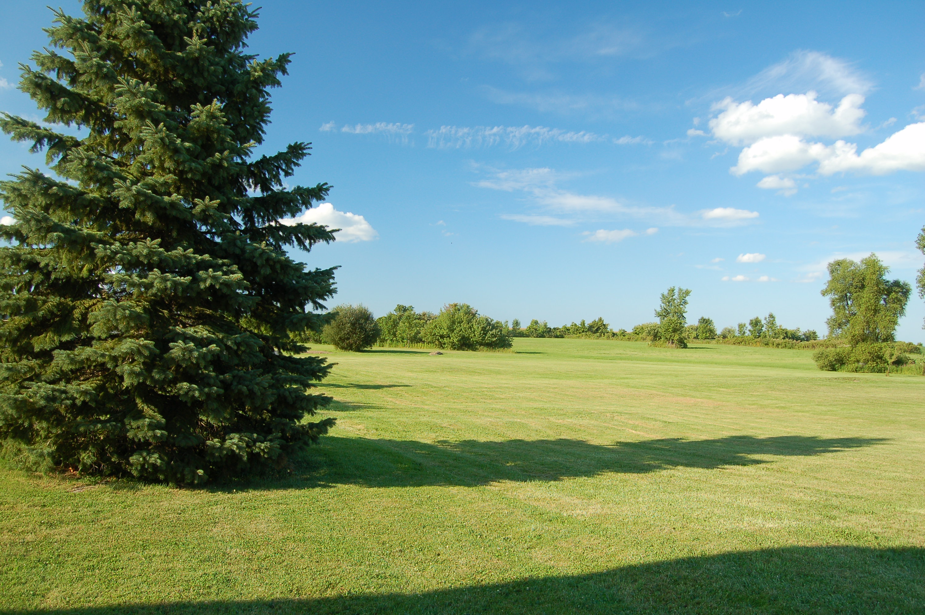
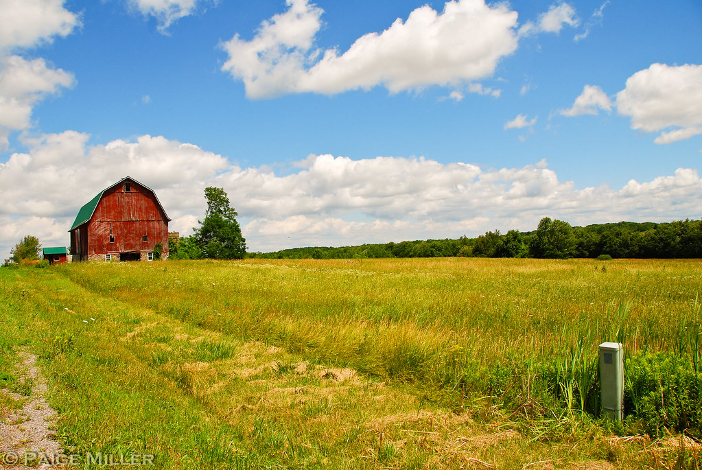
Edge of Back Lawn Looking East Onto Fields
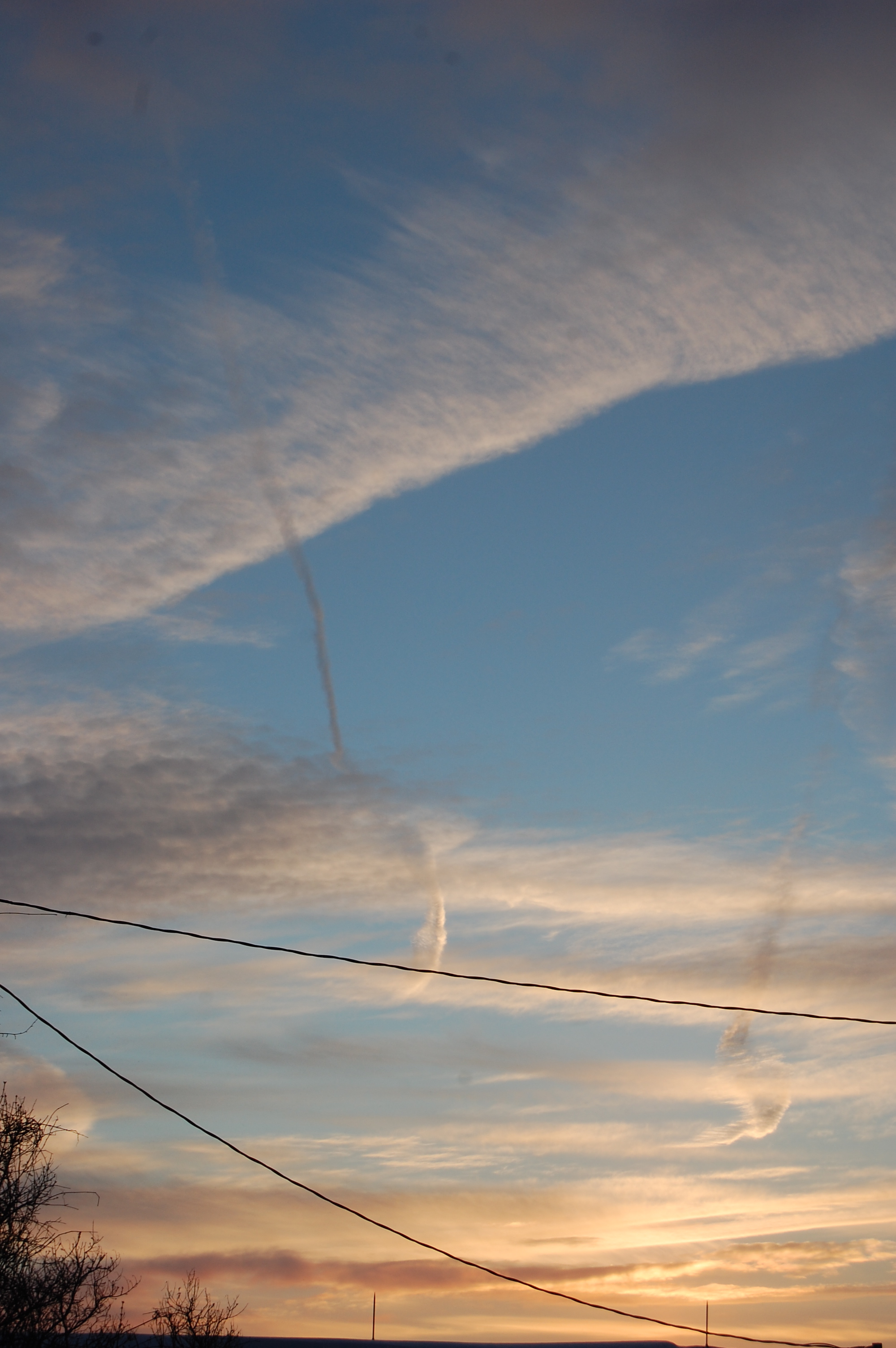
dawn's early light
Northest View of Back Yard
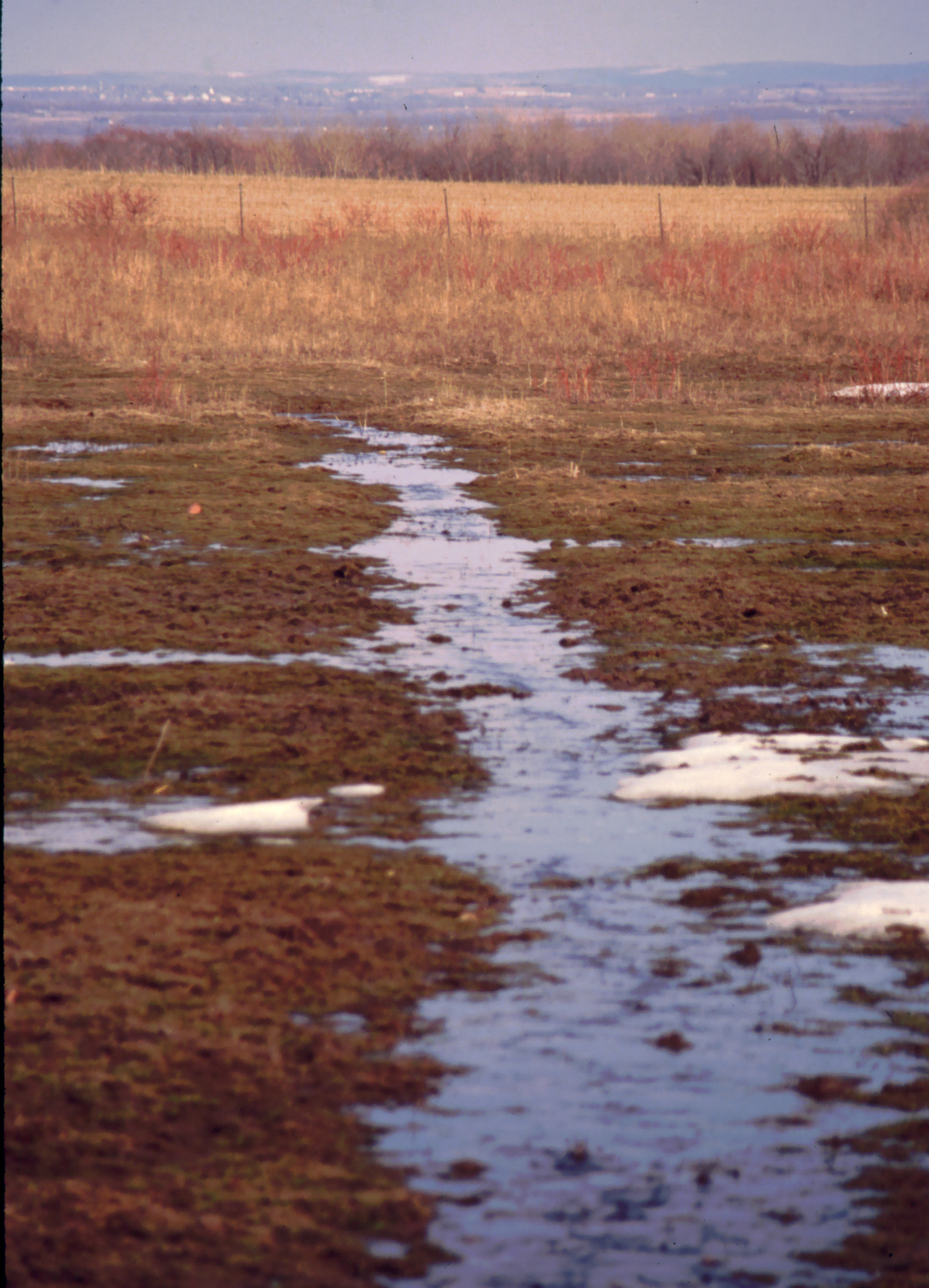
Impromtu Stream through Pasture
Rochester, Nunda and Pennsylvania RR
DSC_2695_edited-1

Dora's-Hill-Walk

.(SEE & HEAR), WC 3346, sb, Pavilion, NY. 9-14-2015

Big House, Linwood Gardens

DSC_2698_edited-1
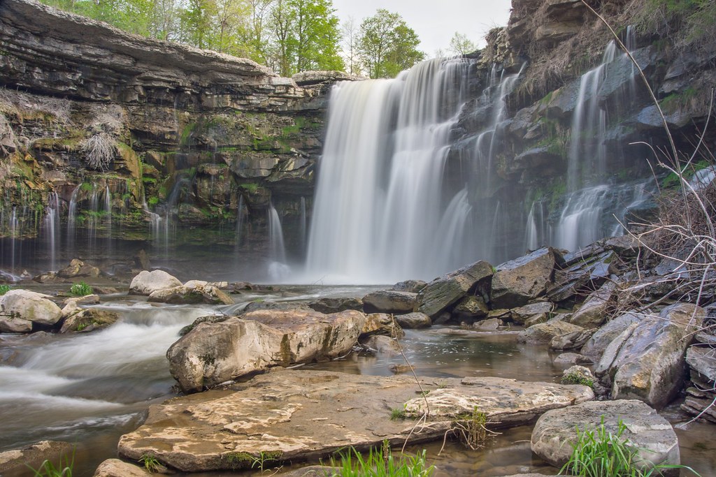
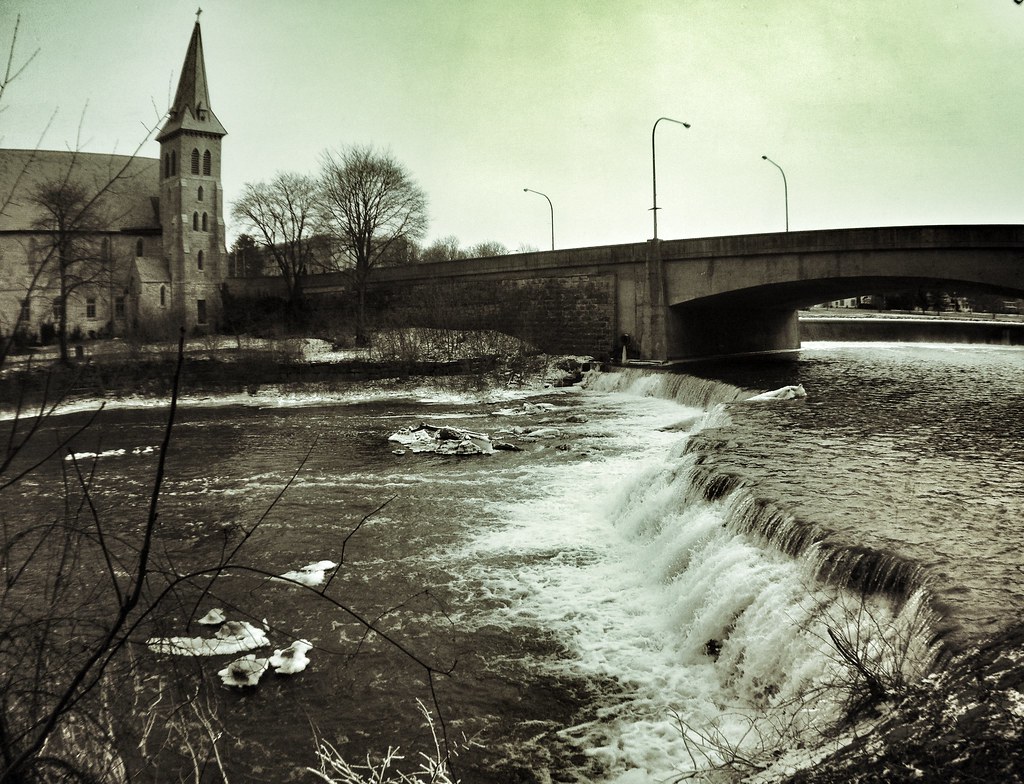
Buttermilk Falls
Sunday morning drive
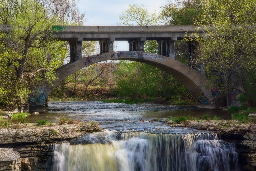
Buttermilk Falls
Buttermilk Falls
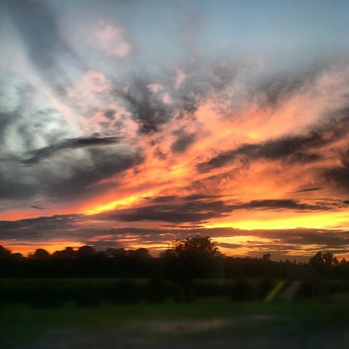
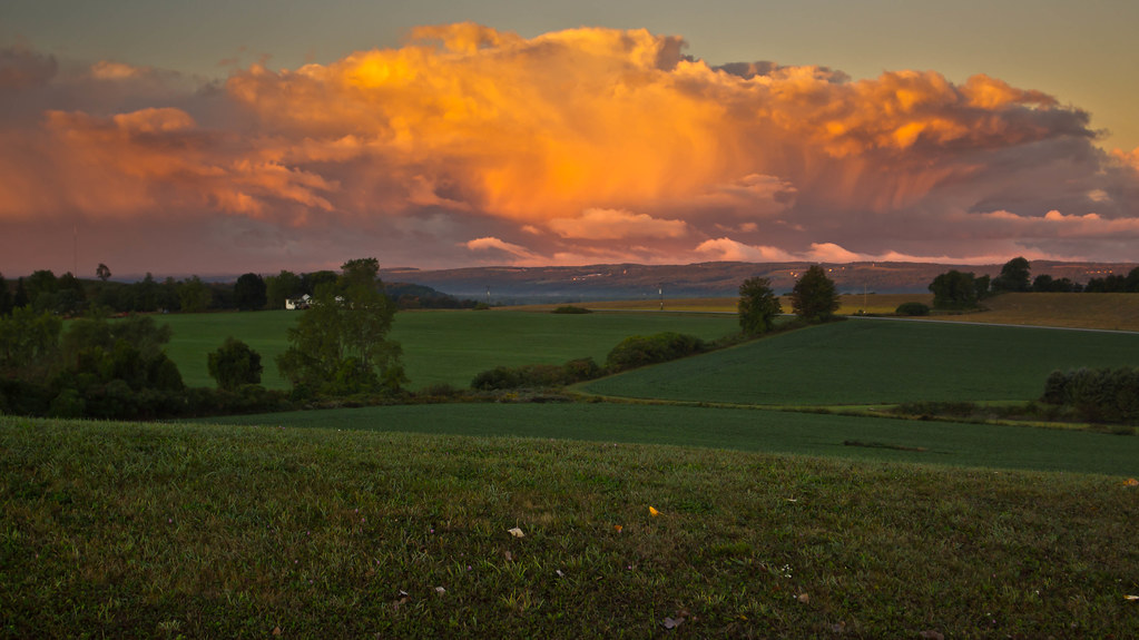
Gorgeous #sunset #summer
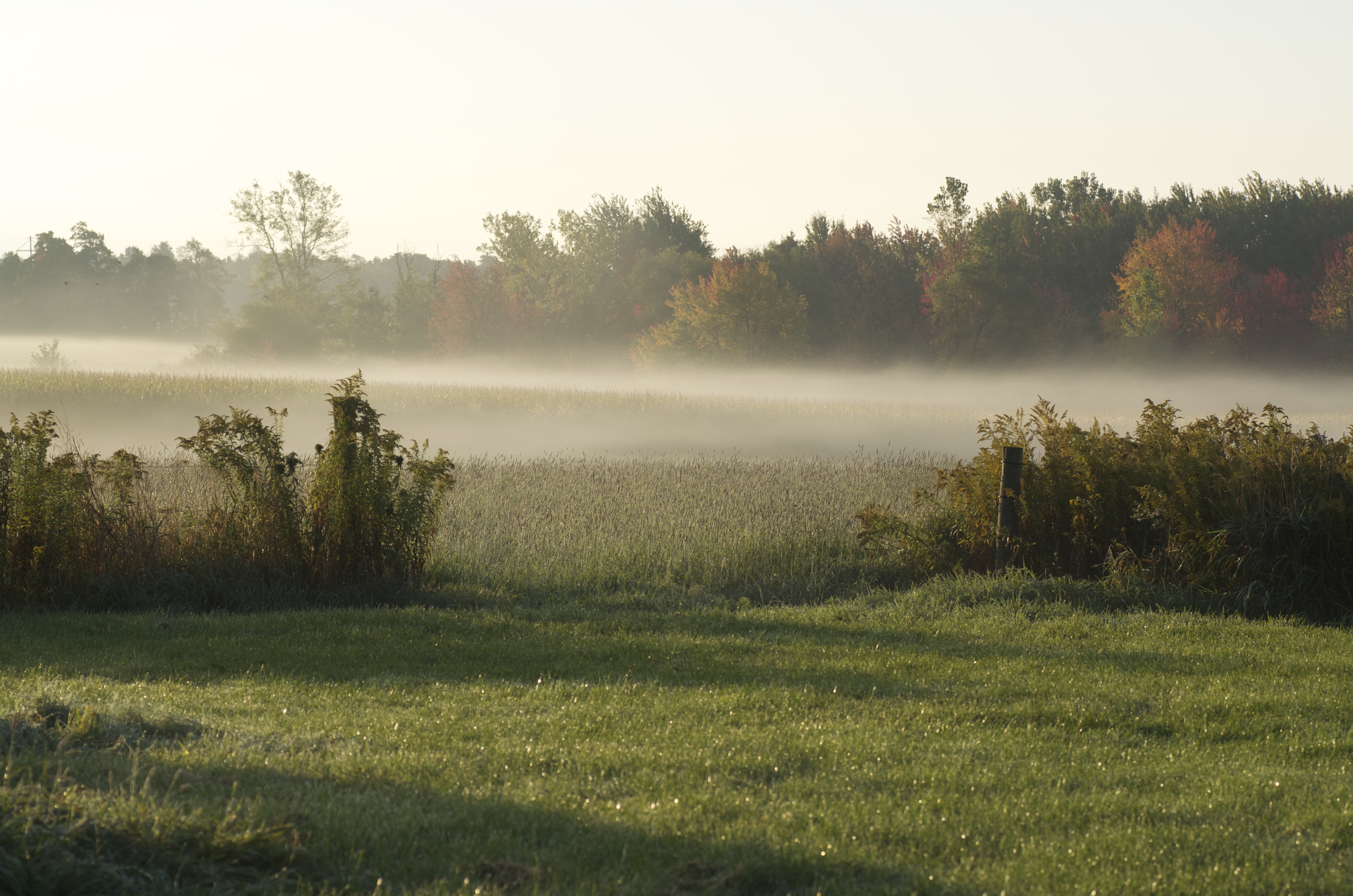
morning mist
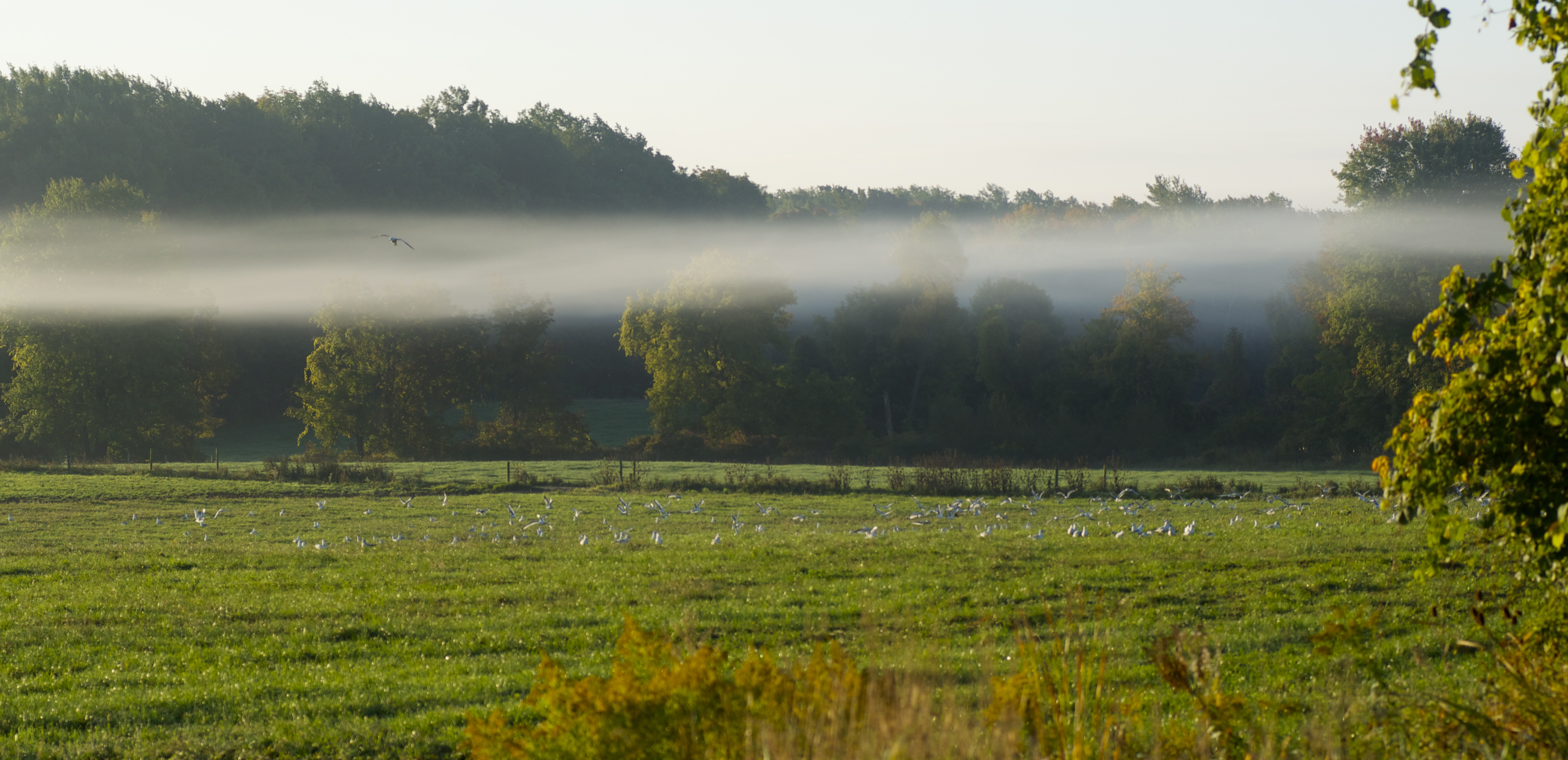
morning mist

Retsof Fall Day
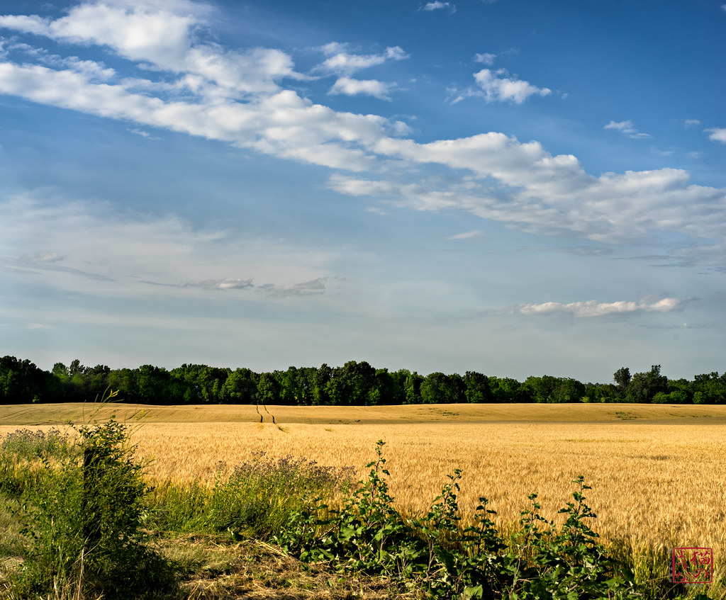
Path Through the Grain
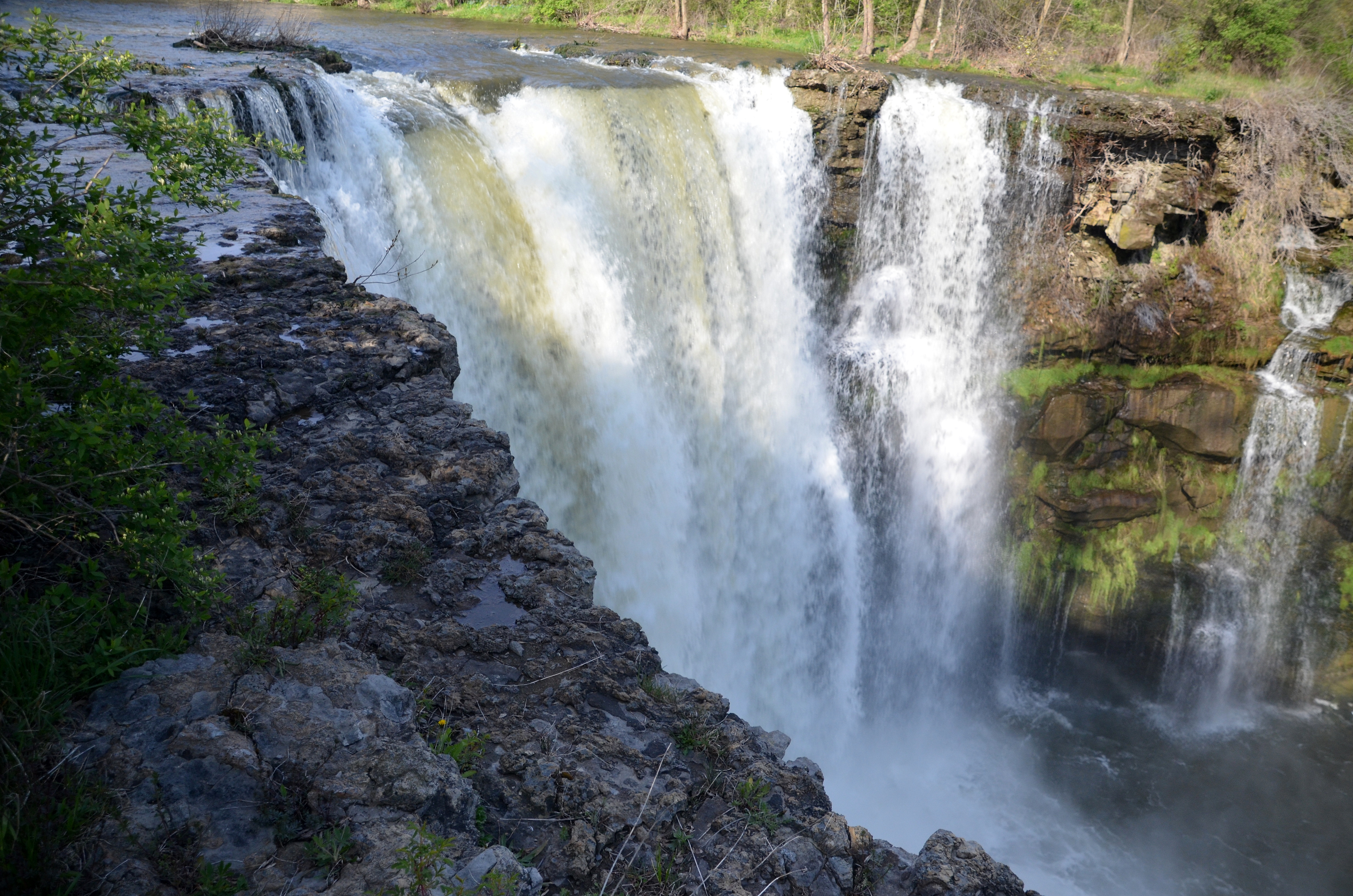
Buttermilk Falls
DSC09253.jpg
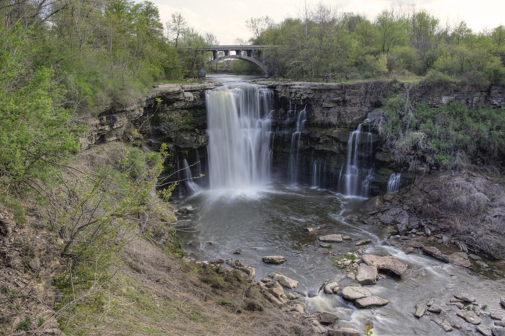
Falls in LeRoy, NY
DSC_2801_edited-1
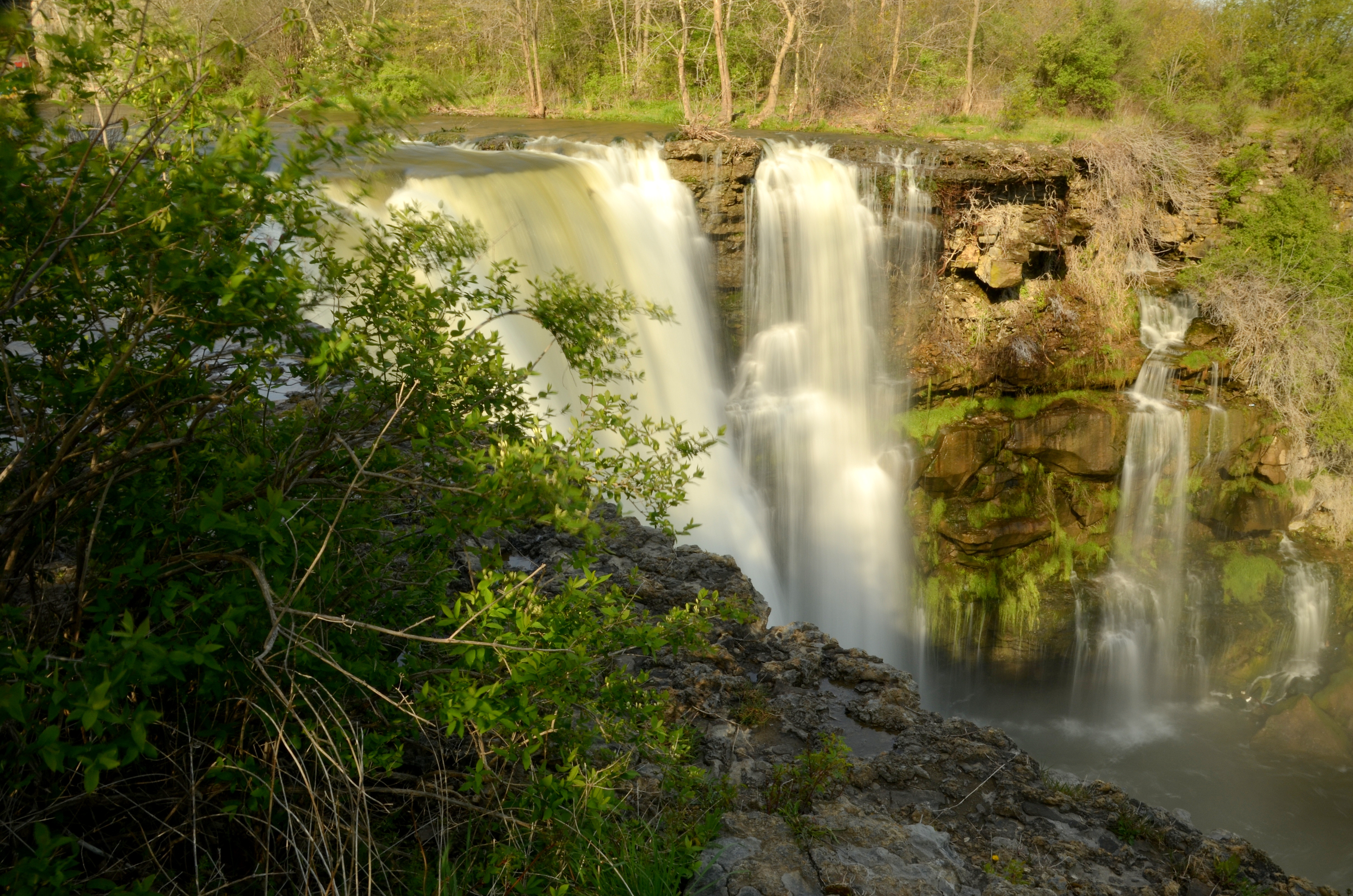
Buttermilk Falls
Topographic Map of Starr Rd, Wyoming, NY, USA
Find elevation by address:

Places near Starr Rd, Wyoming, NY, USA:
510 Wyoming Rd
Pavilion
7303 Old State Rd
Wallace Rd, Piffard, NY, USA
7819 Alverson Rd
Perry
State Route 20a, Perry, NY, USA
York
Suckerbrook Rd, Perry, NY, USA
79 Covington St
York
70 Covington St
Perry
100-102
York Rd, Leicester, NY, USA
Leicester
2742 Chandler Rd
10th St, Piffard, NY, USA
4879 River Rd
Piffard
Recent Searches:
- Elevation of 7 Waterfall Way, Tomball, TX, USA
- Elevation of SW 57th Ave, Portland, OR, USA
- Elevation of Crocker Dr, Vacaville, CA, USA
- Elevation of Pu Ngaol Community Meeting Hall, HWHM+3X7, Krong Saen Monourom, Cambodia
- Elevation of Royal Ontario Museum, Queens Park, Toronto, ON M5S 2C6, Canada
- Elevation of Groblershoop, South Africa
- Elevation of Power Generation Enterprises | Industrial Diesel Generators, Oak Ave, Canyon Country, CA, USA
- Elevation of Chesaw Rd, Oroville, WA, USA
- Elevation of N, Mt Pleasant, UT, USA
- Elevation of 6 Rue Jules Ferry, Beausoleil, France