Elevation of Starr Rd, Centreville, MD, USA
Location: United States > Maryland > Queen Anne's County > 3, Centreville > Centreville >
Longitude: -76.010232
Latitude: 38.977504
Elevation: 22m / 72feet
Barometric Pressure: 101KPa
Elevation Map:
Satellite Map:
Related Photos:

the house

Wye Mills Lake Spill

Wye Mills Lake Spill

Wye Mills Lake Spill

Wye Mills Lake Spill

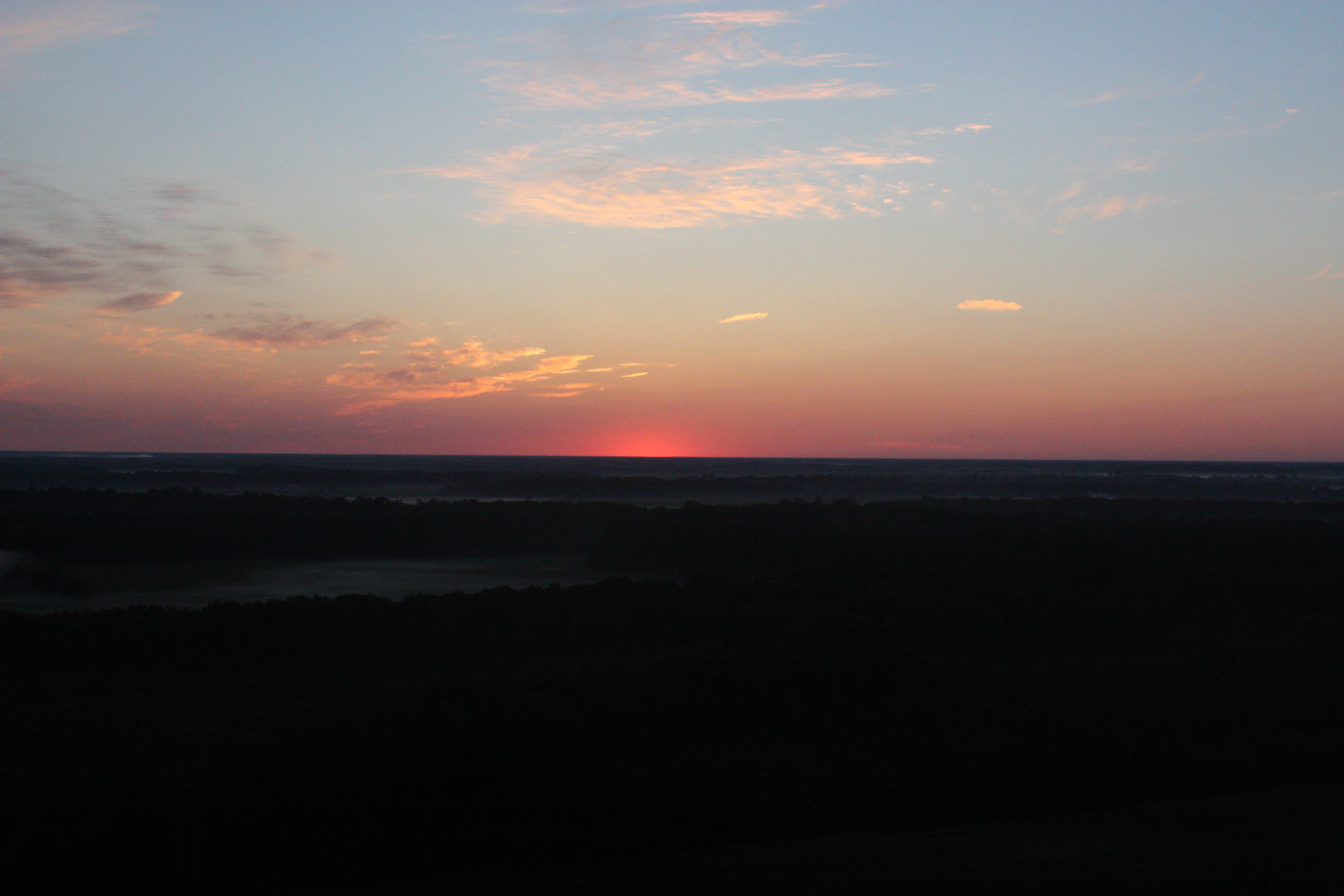
Peaceful Sunset

Light Trails From Ground View
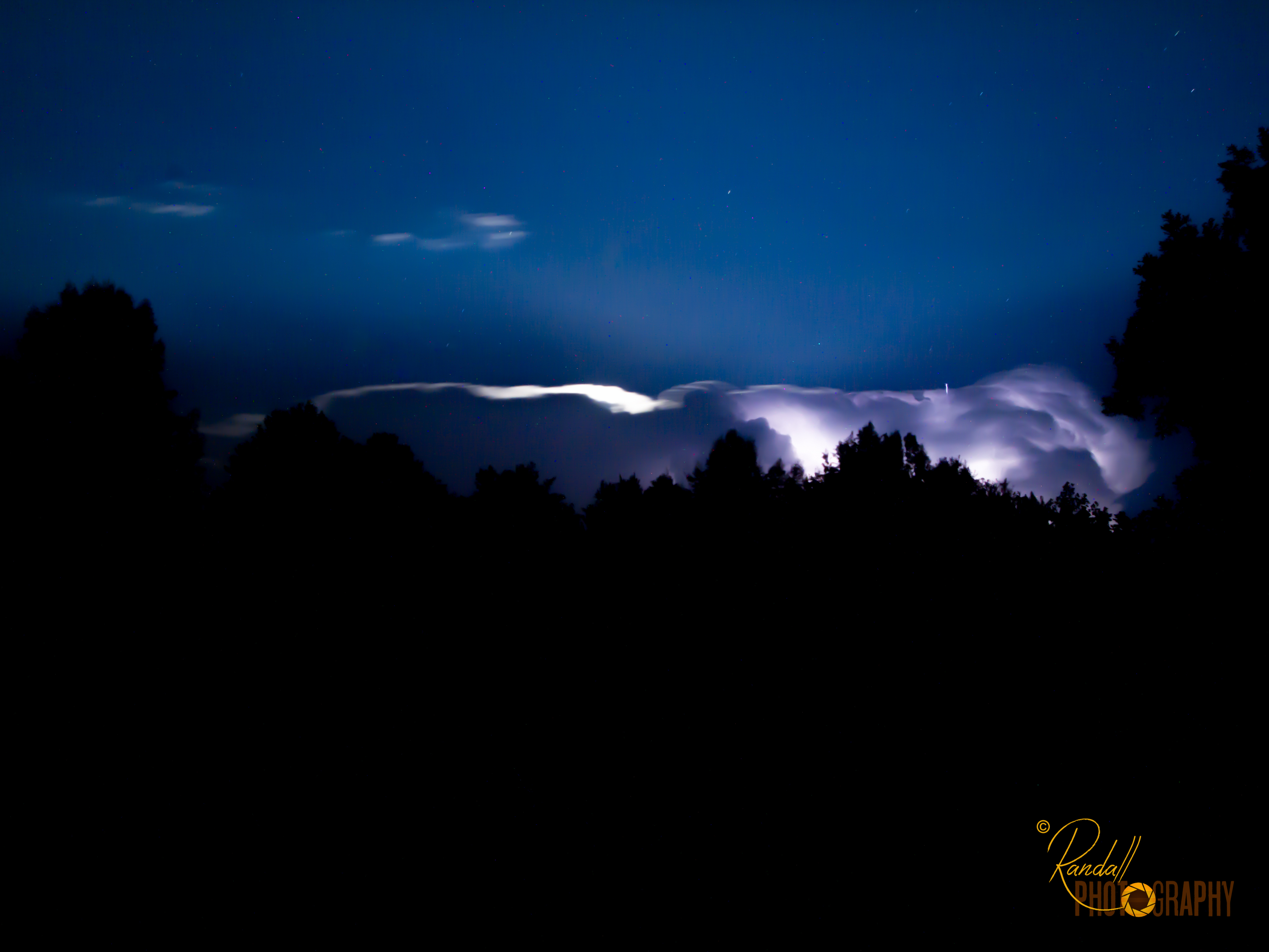
Night Lightning Storm
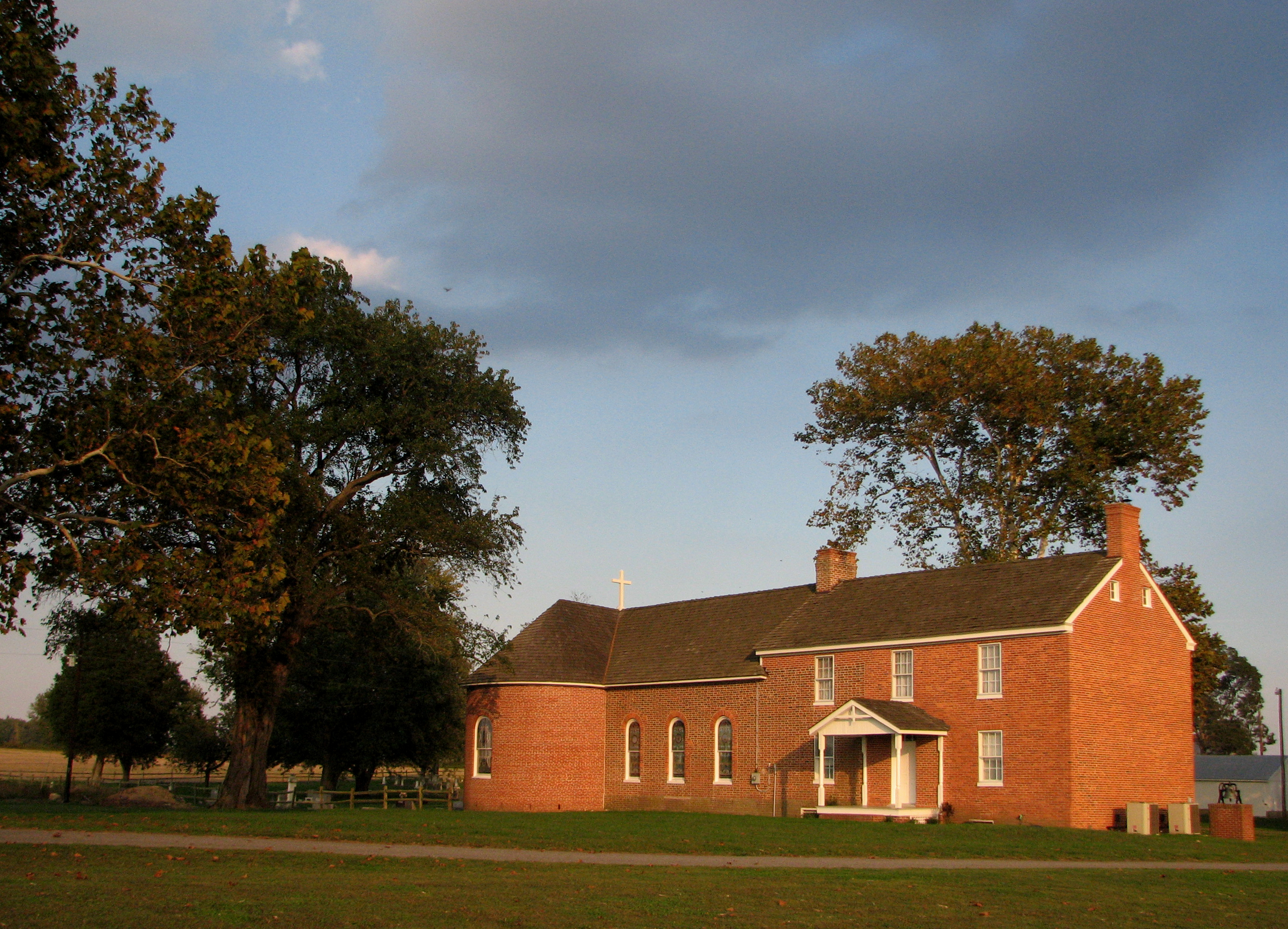
St. Joseph's near Cordova, Maryland, 1765

View from Pier

Light Trail Under the Moon

Budded on Earth to Bloom in Heaven

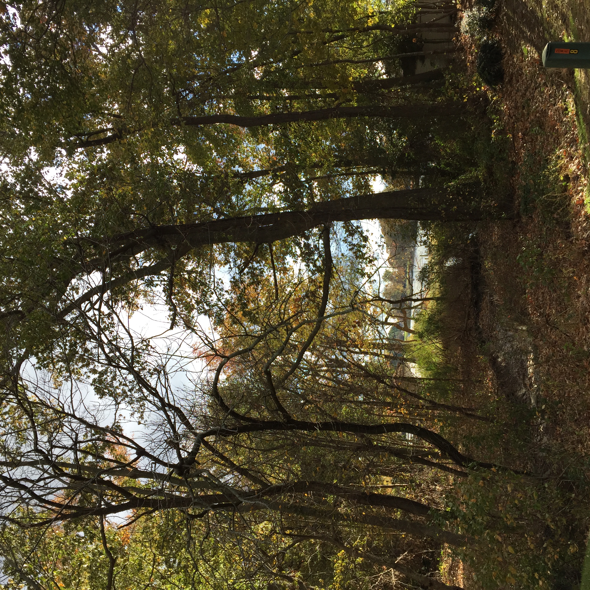
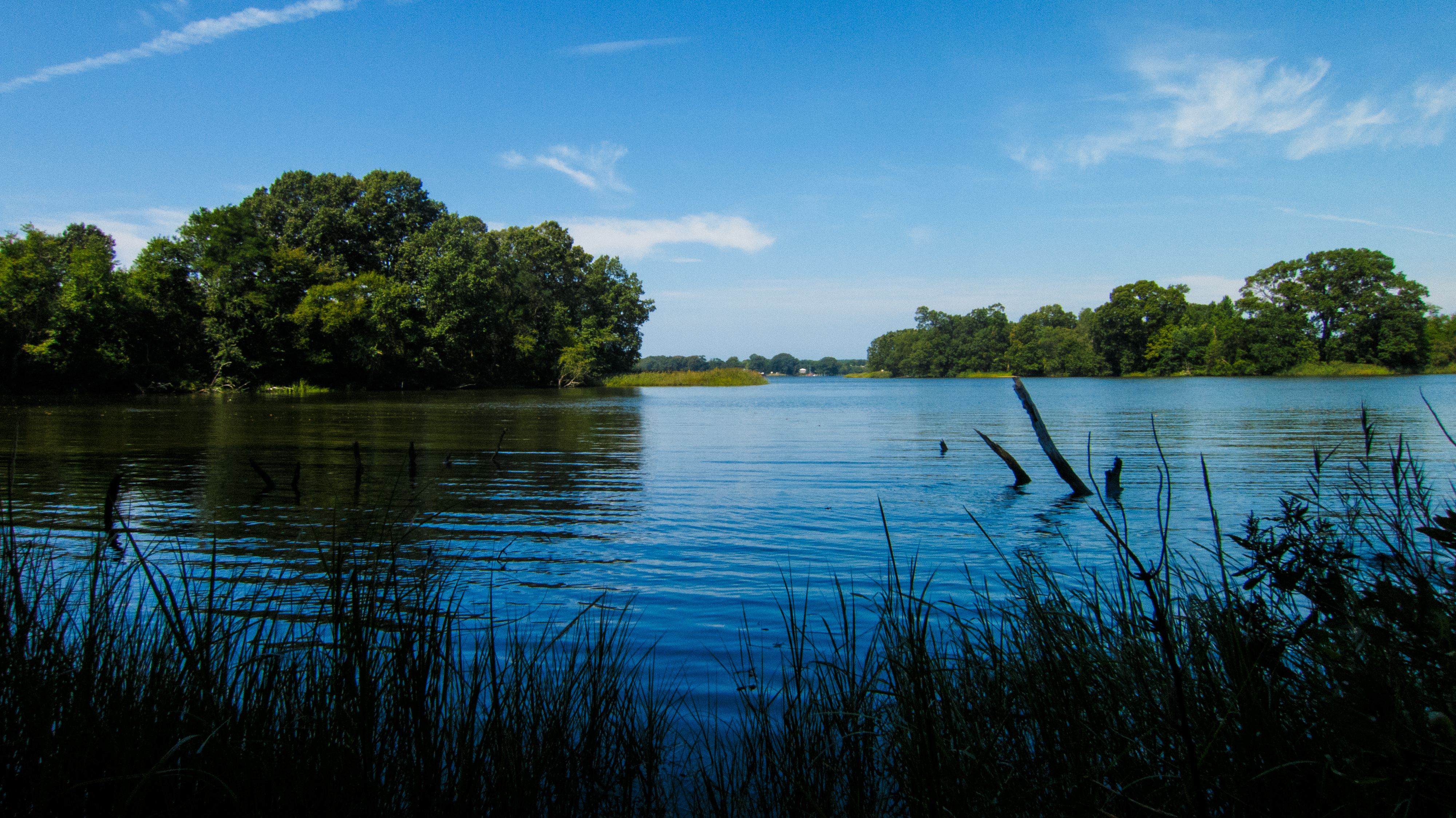
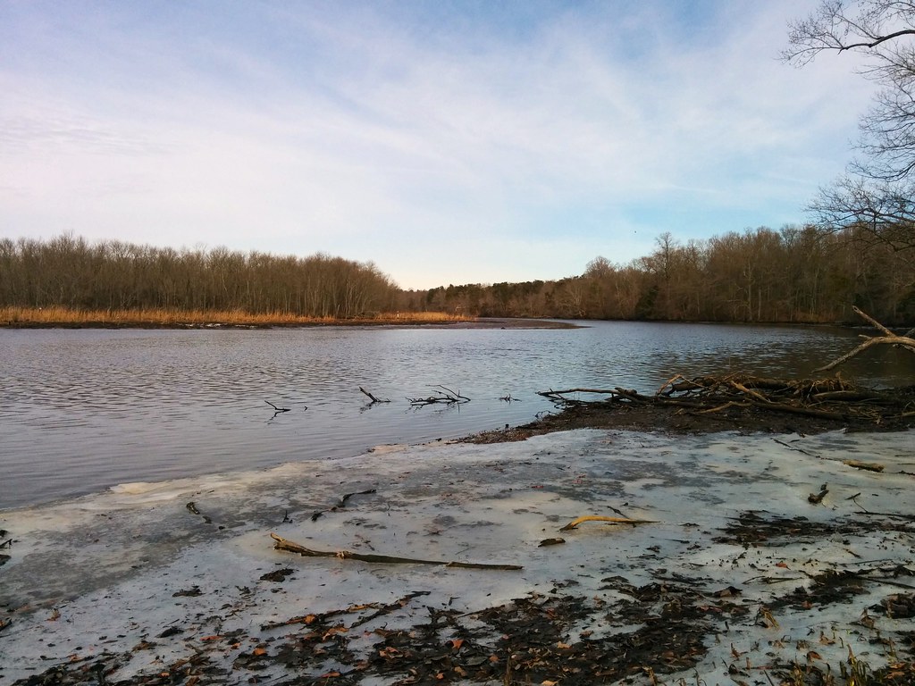
View of Corsica River

2012-11-27 Ruff 3451

Rear-1- View of 4 Houses

Towering Holly

St. Peter's Church Historical Marker
A blustery Fall day on Hickory Ridge.
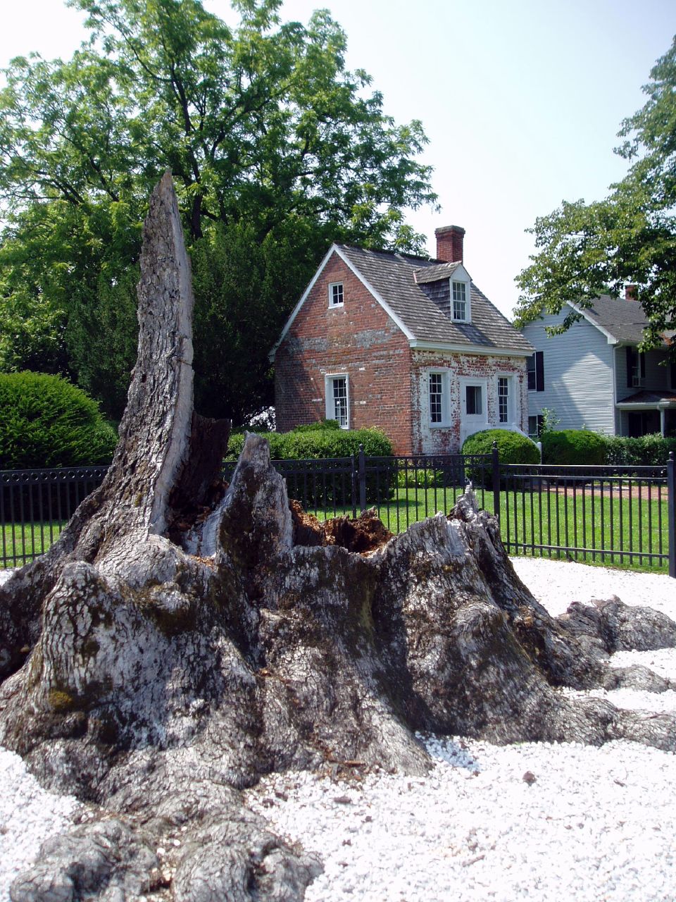
Wye Oak remains, 2004

Northern Lapwing
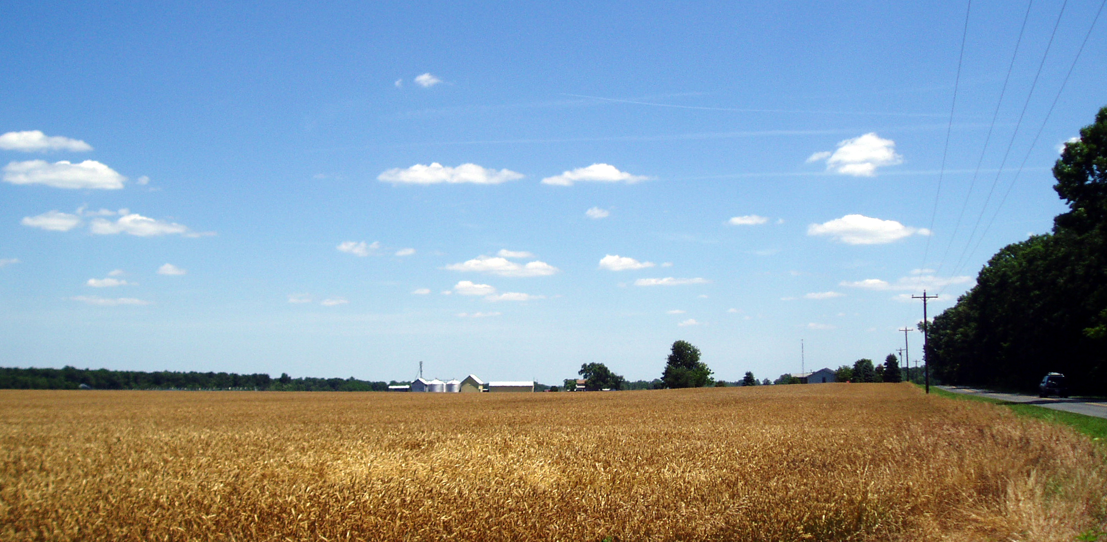
A Sea of Ripe Wheat

Rt. 50
2014-08-31-Bike-Ride-R-1-Pub-G-20140831-IMG_1989.jpg

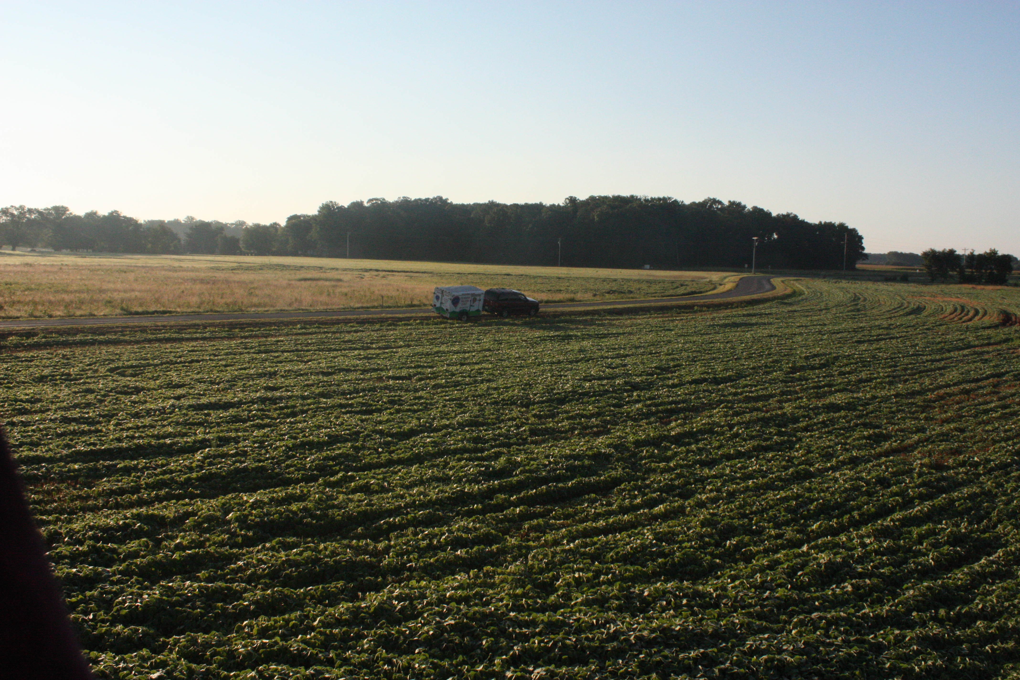
Open Fields of Maryland

Balloon-52

2014 04-01 The Golden Hour by Watertown, South Dakota, photographer Scott Shepahrd

Balloon-53

Near Wye Mills, MD

Image created with #Snapseed
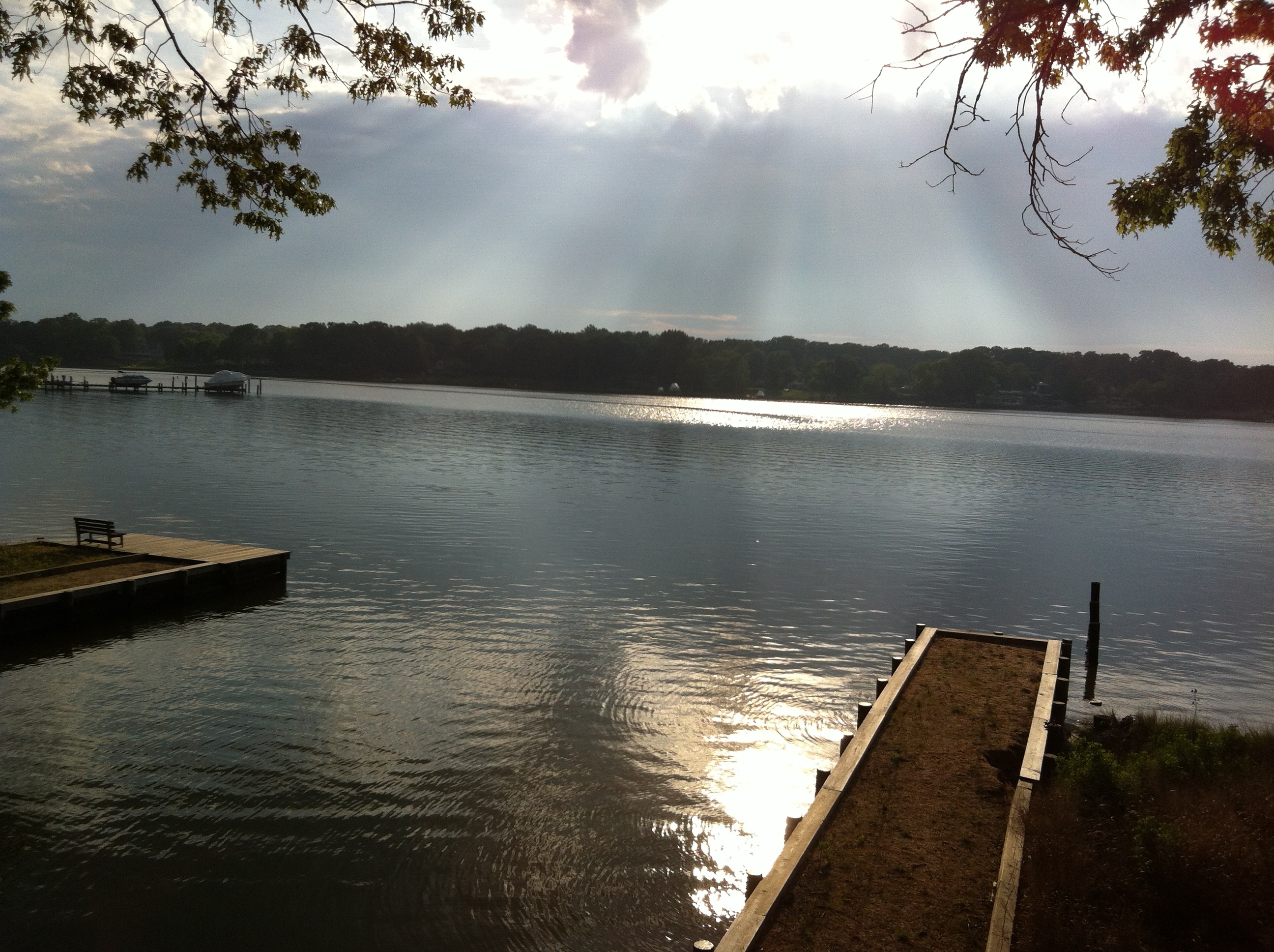
I am sitting on that bench off to the left. The sun has gone down. All I can hear is nature.

Serenity in Green

The Golden Hour
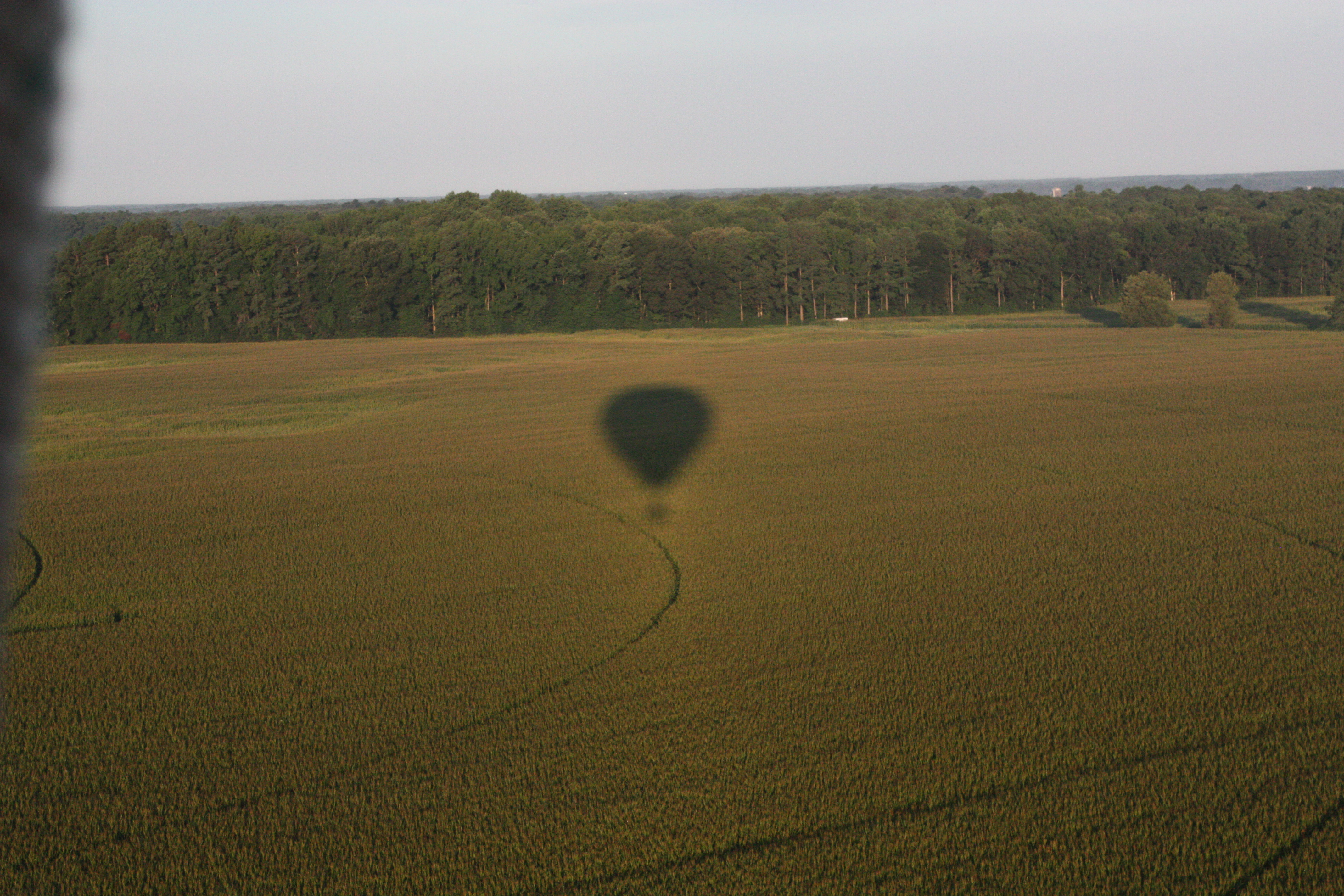
Balloon-68
Balloon-19
Balloon-81
DSC03091.JPG
Tuckahoe Recreation Area
Balloon-36
Topographic Map of Starr Rd, Centreville, MD, USA
Find elevation by address:

Places near Starr Rd, Centreville, MD, USA:
Spruce Dr, Queen Anne, MD, USA
Newtown Rd, Queen Anne, MD, USA
Queen Anne
Main Street
13501 Broad St
Lewistown Rd, Cordova, MD, USA
Tuckahoe Ave, Cordova, MD, USA
Cordova
4, Chapel
Millcreek Ln, Wye Mills, MD, USA
Wye Heights Rd, Easton, MD, USA
28948 Rabbit Hill Rd
455 Wye Island Rd
5, Queenstown
116 Mainbrace Dr
812 Sportsman Neck Rd
Queenstown
Blakeford Ln, Queenstown, MD, USA
112 River Run
Wye Harbor Dr, Queenstown, MD, USA
Recent Searches:
- Elevation of Kreuzburger Weg 13, Düsseldorf, Germany
- Elevation of Gateway Blvd SE, Canton, OH, USA
- Elevation of East W.T. Harris Boulevard, E W.T. Harris Blvd, Charlotte, NC, USA
- Elevation of West Sugar Creek, Charlotte, NC, USA
- Elevation of Wayland, NY, USA
- Elevation of Steadfast Ct, Daphne, AL, USA
- Elevation of Lagasgasan, X+CQH, Tiaong, Quezon, Philippines
- Elevation of Rojo Ct, Atascadero, CA, USA
- Elevation of Flagstaff Drive, Flagstaff Dr, North Carolina, USA
- Elevation of Avery Ln, Lakeland, FL, USA