Elevation of Star Meadow Rd, Whitefish, MT, USA
Location: United States > Montana > Flathead County > Whitefish >
Longitude: -114.67829
Latitude: 48.374876
Elevation: 1241m / 4072feet
Barometric Pressure: 87KPa
Elevation Map:
Satellite Map:
Related Photos:
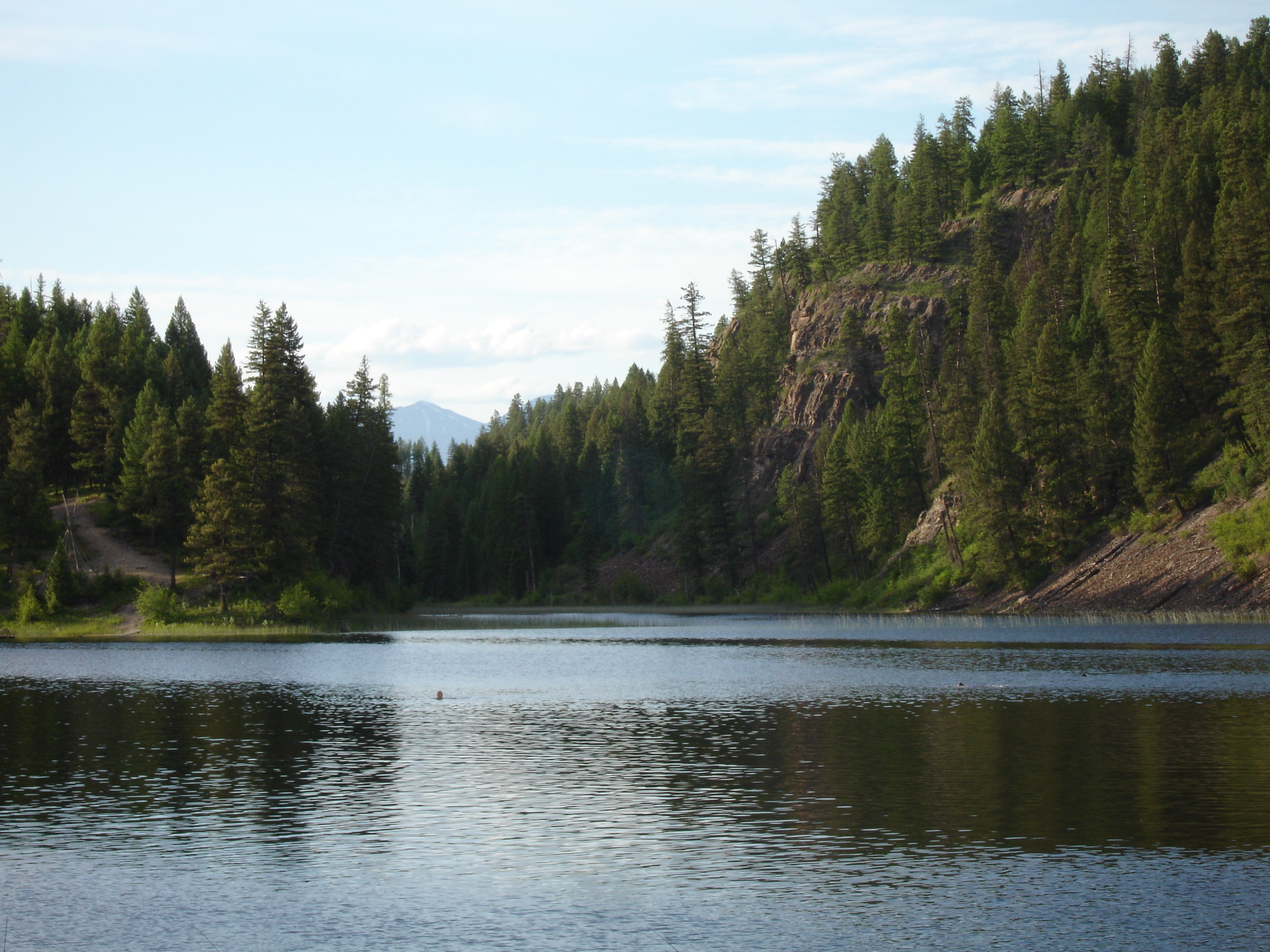
Boot Jack Lake Montana

Environmental Science.

Olive Clubtail [ Stylurus olivaceus ] male
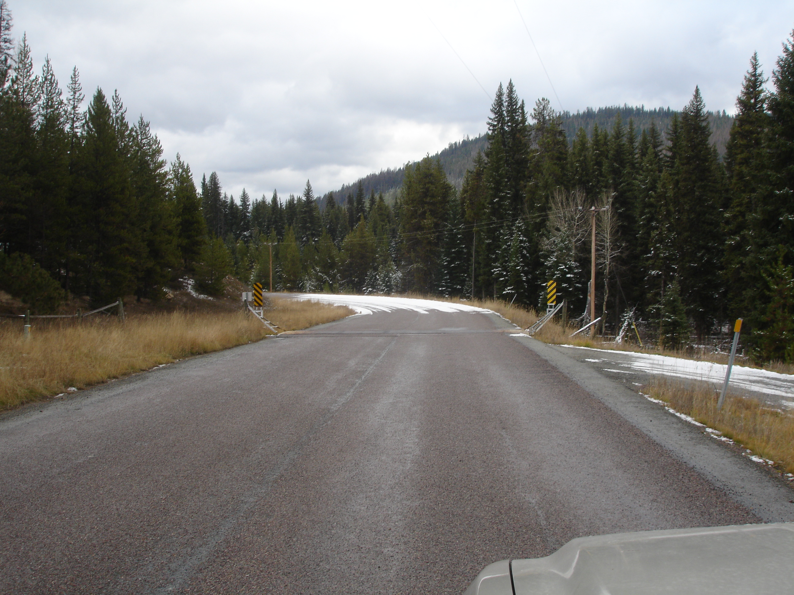
Star Meadows Road to Gravle

Tally Lake
Topographic Map of Star Meadow Rd, Whitefish, MT, USA
Find elevation by address:

Places near Star Meadow Rd, Whitefish, MT, USA:
3955 Star Meadow Rd
3953 Star Meadow Rd
190 Cliff Creek Rd
315 Notta Road
6332 Farm To Market Rd
75 Mountain Meadow Rd
Mountain Meadow Rd, Kalispell, MT, USA
Finger Lake
1716 Ashley Lake Trail
Buckwheat Trail
607 Copper Rd
Marion
Pleasant Valley Rd, Marion, MT, USA
1044 Copper Rd
1186 Homesteaders Way
Smith Lake
1053 Bitterroot Dr
3906 W Valley Dr
585 Badger Hollow Trail
1163 Martin Creek Ln
Recent Searches:
- Elevation of Rojo Ct, Atascadero, CA, USA
- Elevation of Flagstaff Drive, Flagstaff Dr, North Carolina, USA
- Elevation of Avery Ln, Lakeland, FL, USA
- Elevation of Woolwine, VA, USA
- Elevation of Lumagwas Diversified Farmers Multi-Purpose Cooperative, Lumagwas, Adtuyon, RV32+MH7, Pangantucan, Bukidnon, Philippines
- Elevation of Homestead Ridge, New Braunfels, TX, USA
- Elevation of Orchard Road, Orchard Rd, Marlborough, NY, USA
- Elevation of 12 Hutchinson Woods Dr, Fletcher, NC, USA
- Elevation of Holloway Ave, San Francisco, CA, USA
- Elevation of Norfolk, NY, USA