Elevation of Stanley Pocket Road, Stanley Pocket Rd, Crossdale QLD, Australia
Location: Australia > Queensland > Somerset Regional >
Longitude: 152.592881
Latitude: -27.107956
Elevation: -10000m / -32808feet
Barometric Pressure: 295KPa
Elevation Map:
Satellite Map:
Related Photos:

The Windmill and the Milky Way.jpg

Boys and their Toys

Somerset Lookout (Mount Mee)

Mount Mee forest drive - plantations of Hoop Pine

Somerset Lookout (Mount Mee)

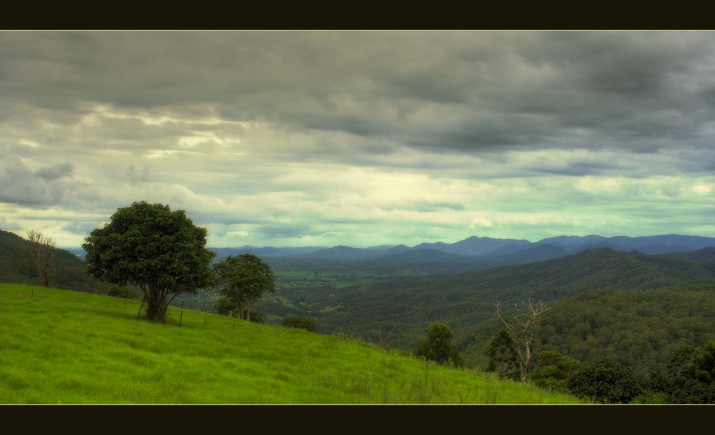
View to Brisbane from Mount Mee road

Creek behind Bulls Falls lookout

Glowing Tree

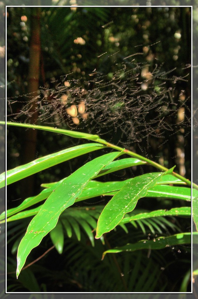
Grass-tree with the view (Somerset lookout)

Abstract Suzuki Vstrom 650

The view from Somerset Lookout

View down the Samford Valley towards Brisbane from Sellin Road, near the northern section of d'Aguilar National Park
A Little Swarm of Little Flies
Let There Be Rain

Nannophlebia risi female wings

Somerset Lookout

View from Neurum Creek Bush Retreat
Somerset Lookout

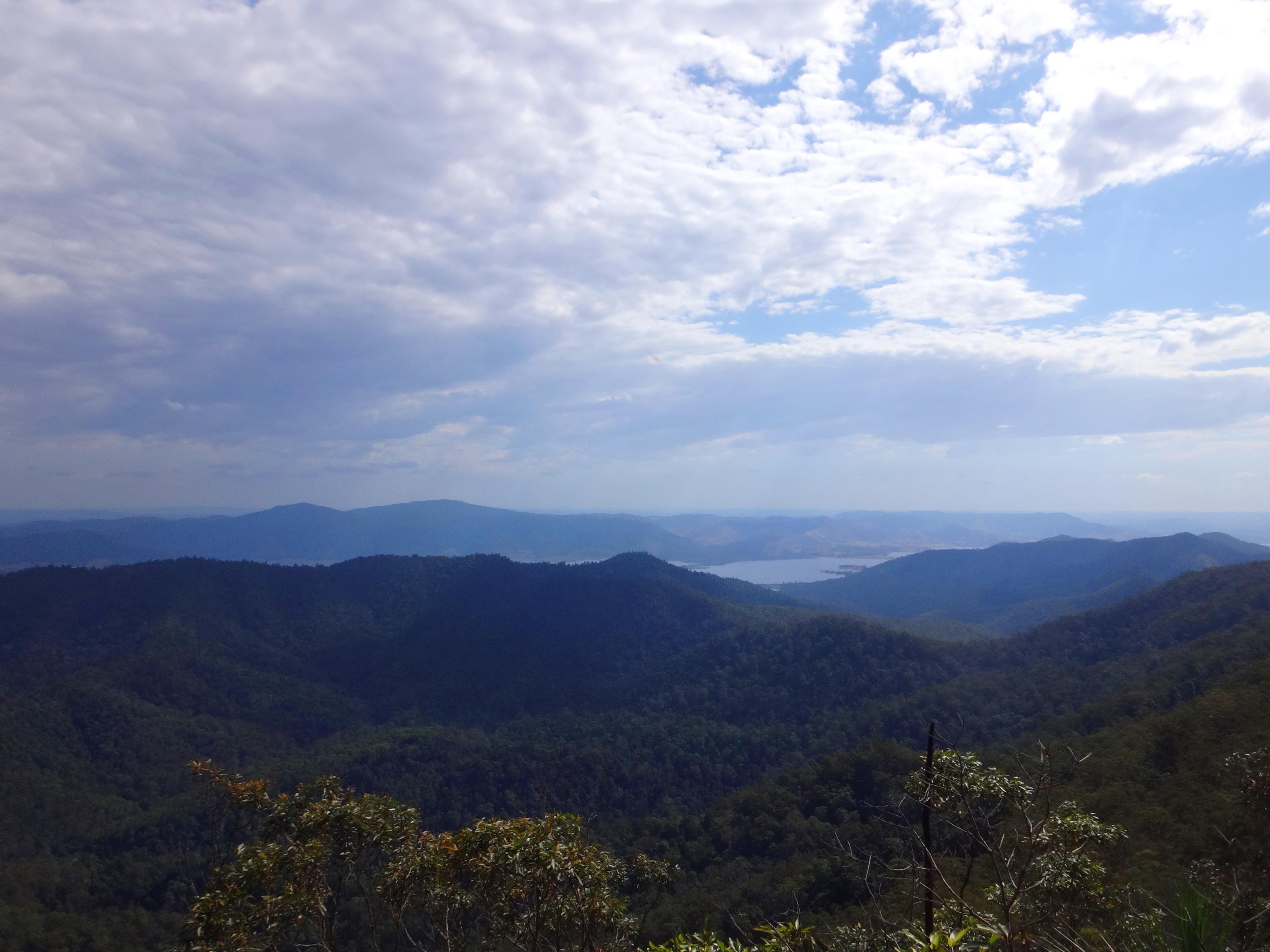
Lake Somerset

Somerset Lookout Panorama

View From Mount Archer

Splash! (open and scroll to comment to see animation!)

Water hole near Broadwater picnic area, Mount Mee forest in D'Aguilar National Park

Neurum creek in Mount Mee forest in D'Aguilar National Park
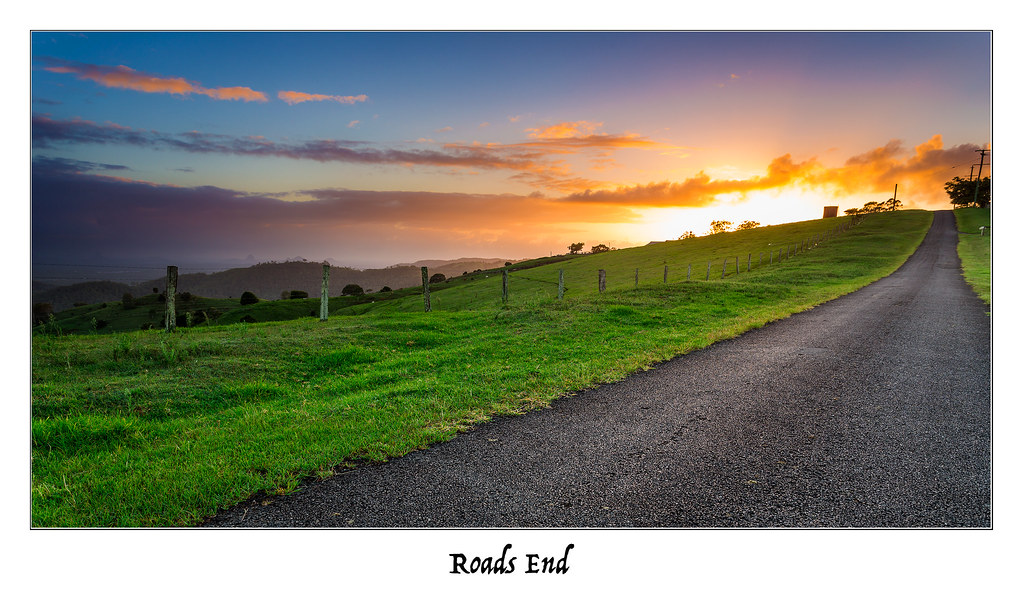
Roads End

The Further You Go, The Drier It Gets

Finally Alone

Mt Mee Sunrise

Somerset lookout

Somerset lookout, Mount Mee

Golden Tree

Tracking Glasshouse
Arms Outstretched

A tree at Sunset
Topographic Map of Stanley Pocket Road, Stanley Pocket Rd, Crossdale QLD, Australia
Find elevation by address:

Places near Stanley Pocket Road, Stanley Pocket Rd, Crossdale QLD, Australia:
22 Nofz Ln
Villeneuve
41 Pooles Rd
Stonybrook
Coal Creek
Mount Beppo
Winya
D'aguilar Range
Kilcoy
Lake Wivenhoe
Mount Pleasant
Mount Mee
67 Fulham Rd
Mount Mee Road
Mount Mee Road
167 Pohlmans Range Rd
Pedwell Road
Toogoolawah
7172 Brisbane Valley Highway
39 Pryce St
Recent Searches:
- Elevation of Kreuzburger Weg 13, Düsseldorf, Germany
- Elevation of Gateway Blvd SE, Canton, OH, USA
- Elevation of East W.T. Harris Boulevard, E W.T. Harris Blvd, Charlotte, NC, USA
- Elevation of West Sugar Creek, Charlotte, NC, USA
- Elevation of Wayland, NY, USA
- Elevation of Steadfast Ct, Daphne, AL, USA
- Elevation of Lagasgasan, X+CQH, Tiaong, Quezon, Philippines
- Elevation of Rojo Ct, Atascadero, CA, USA
- Elevation of Flagstaff Drive, Flagstaff Dr, North Carolina, USA
- Elevation of Avery Ln, Lakeland, FL, USA