Elevation of Standard Peak, Montana, USA
Location: United States > Montana > Polebridge >
Longitude: -114.24707
Latitude: 48.5419113
Elevation: 2190m / 7185feet
Barometric Pressure: 78KPa
Elevation Map:
Satellite Map:
Related Photos:
The Flathead Valley
View into Glacier
Alpenglow over the Rockies
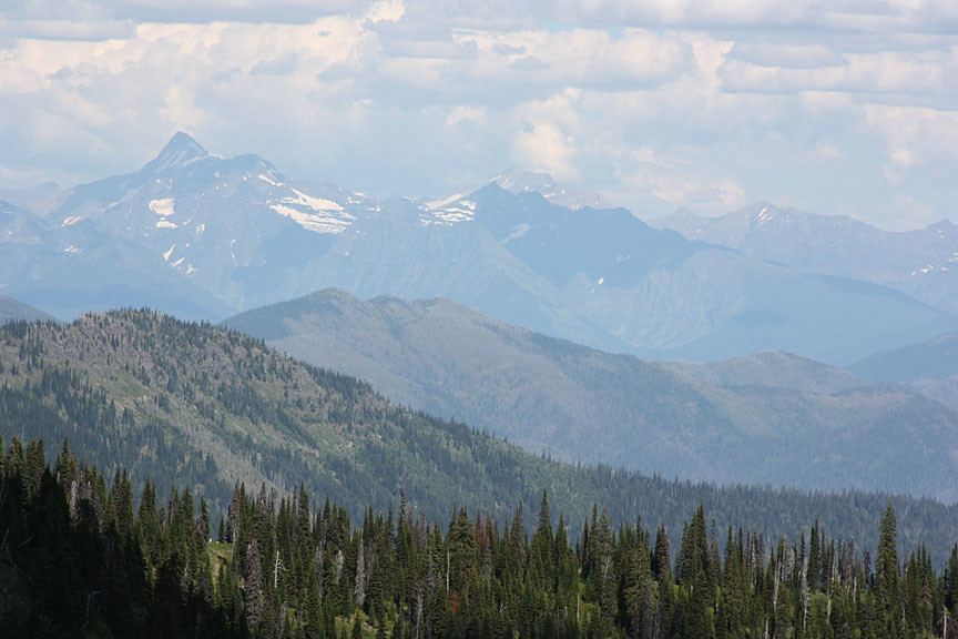
Whitefish Range

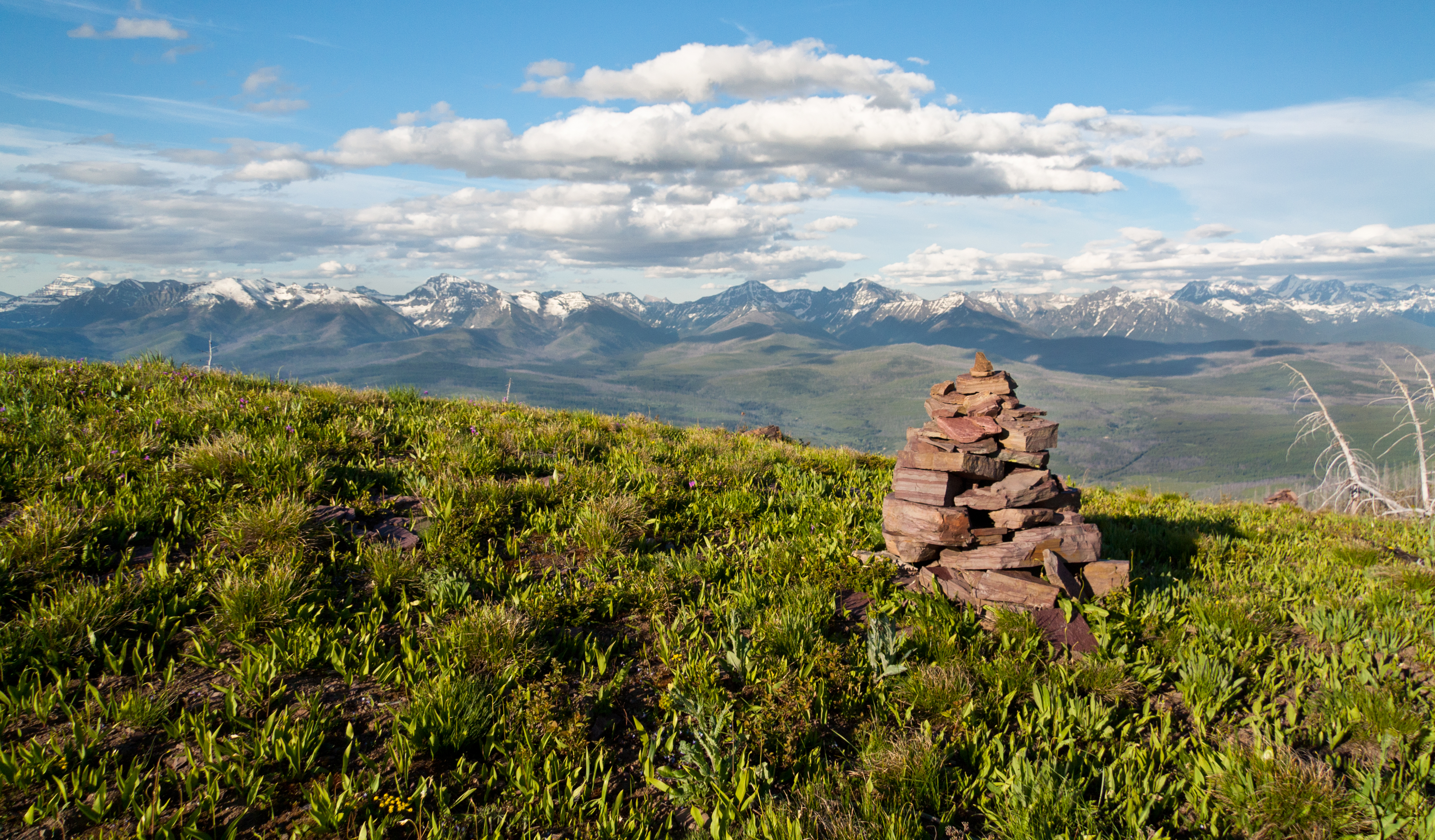
view from the top

Whitefish Winter Inversion Sunset

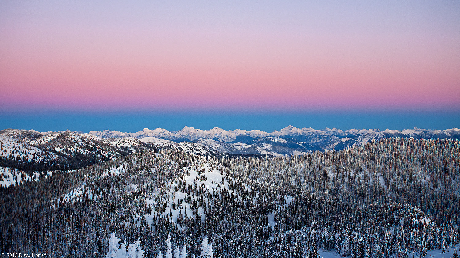
Sea of Clouds Sunset

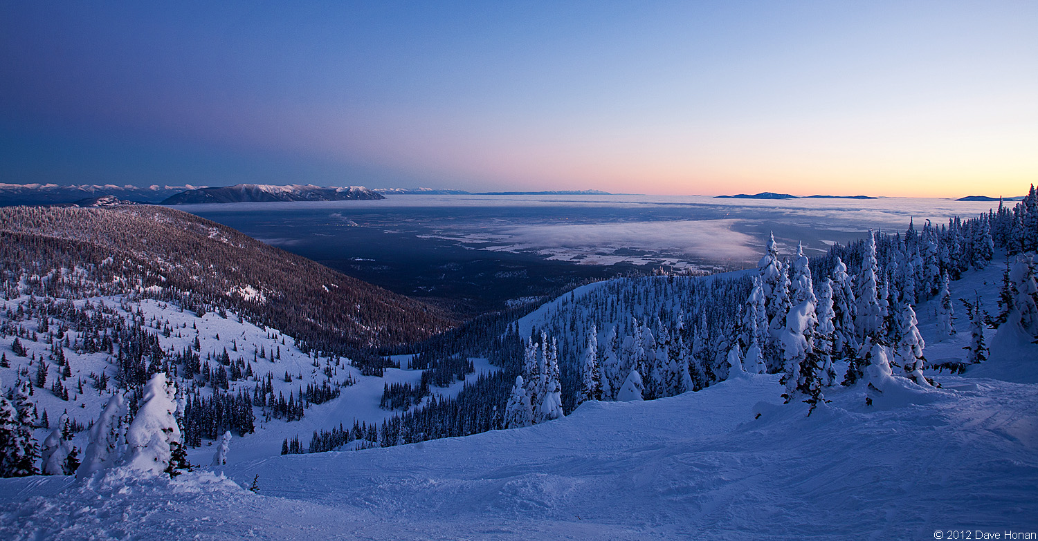
Winter Inversion Sunset

Lower North Fork Valley
Glacier View Summit

2013-10-04 15;20;46

Glacier National Park

Livingston Range

Whitefish Winter Inversion Sunset

North Fork Valley

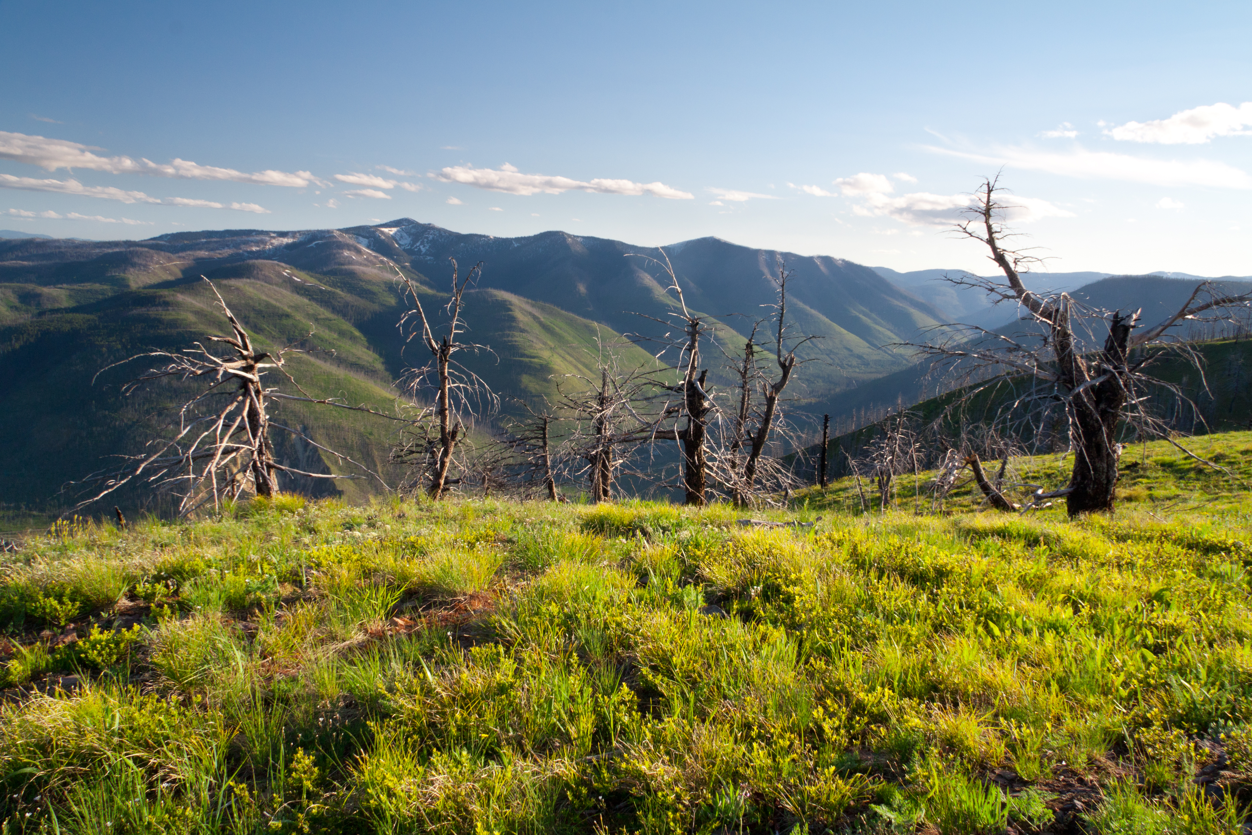
A room with a view
Topographic Map of Standard Peak, Montana, USA
Find elevation by address:

Places near Standard Peak, Montana, USA:
Big Creek Campground
Huckleberry Mountain
Whitefish Mountain Resort
216 Woodland Star Cir
109 Bitterroot Ct
3824 Big Mountain Rd
219 Margaret Ct
194 Ridge Run Dr
991 Lake Dr
2221 Larkspur Ln
119 Ursa Major Dr
1381 Wisconsin Ave
Flathead County
Halfmoon Rd, Columbia Falls, MT, USA
Whitefish
650 E 3rd St
E Second St, Whitefish, MT, USA
Whitefish
Whitefish, MT, USA
1810 N Fork Rd
Recent Searches:
- Elevation of Corso Fratelli Cairoli, 35, Macerata MC, Italy
- Elevation of Tallevast Rd, Sarasota, FL, USA
- Elevation of 4th St E, Sonoma, CA, USA
- Elevation of Black Hollow Rd, Pennsdale, PA, USA
- Elevation of Oakland Ave, Williamsport, PA, USA
- Elevation of Pedrógão Grande, Portugal
- Elevation of Klee Dr, Martinsburg, WV, USA
- Elevation of Via Roma, Pieranica CR, Italy
- Elevation of Tavkvetili Mountain, Georgia
- Elevation of Hartfords Bluff Cir, Mt Pleasant, SC, USA