Elevation of Stallion Bluff Rd, Shell Knob, MO, USA
Location: United States > Missouri > Barry County > Shell Knob Township > Shell Knob >
Longitude: -93.530849
Latitude: 36.6263922
Elevation: 389m / 1276feet
Barometric Pressure: 97KPa
Elevation Map:
Satellite Map:
Related Photos:
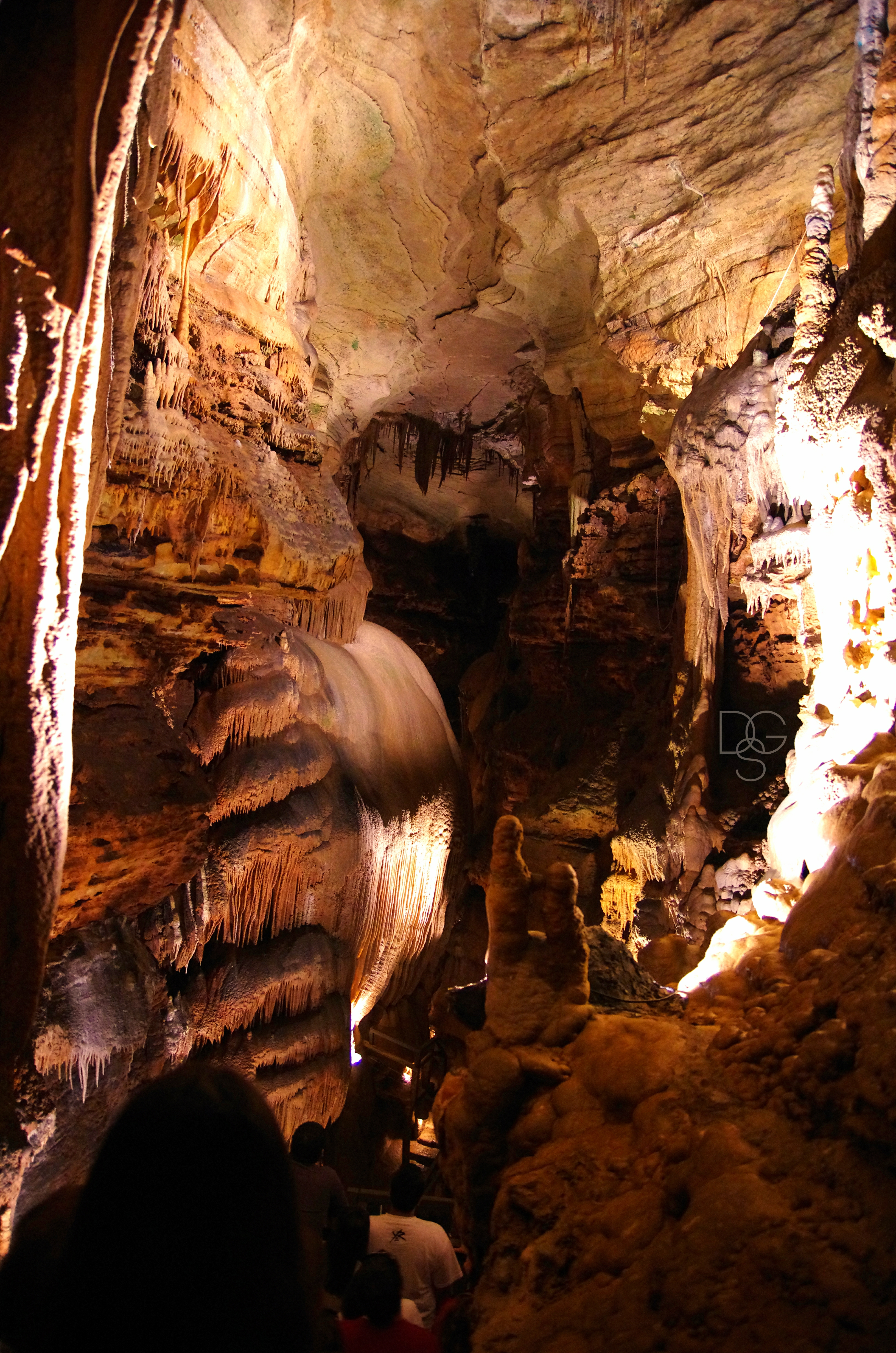
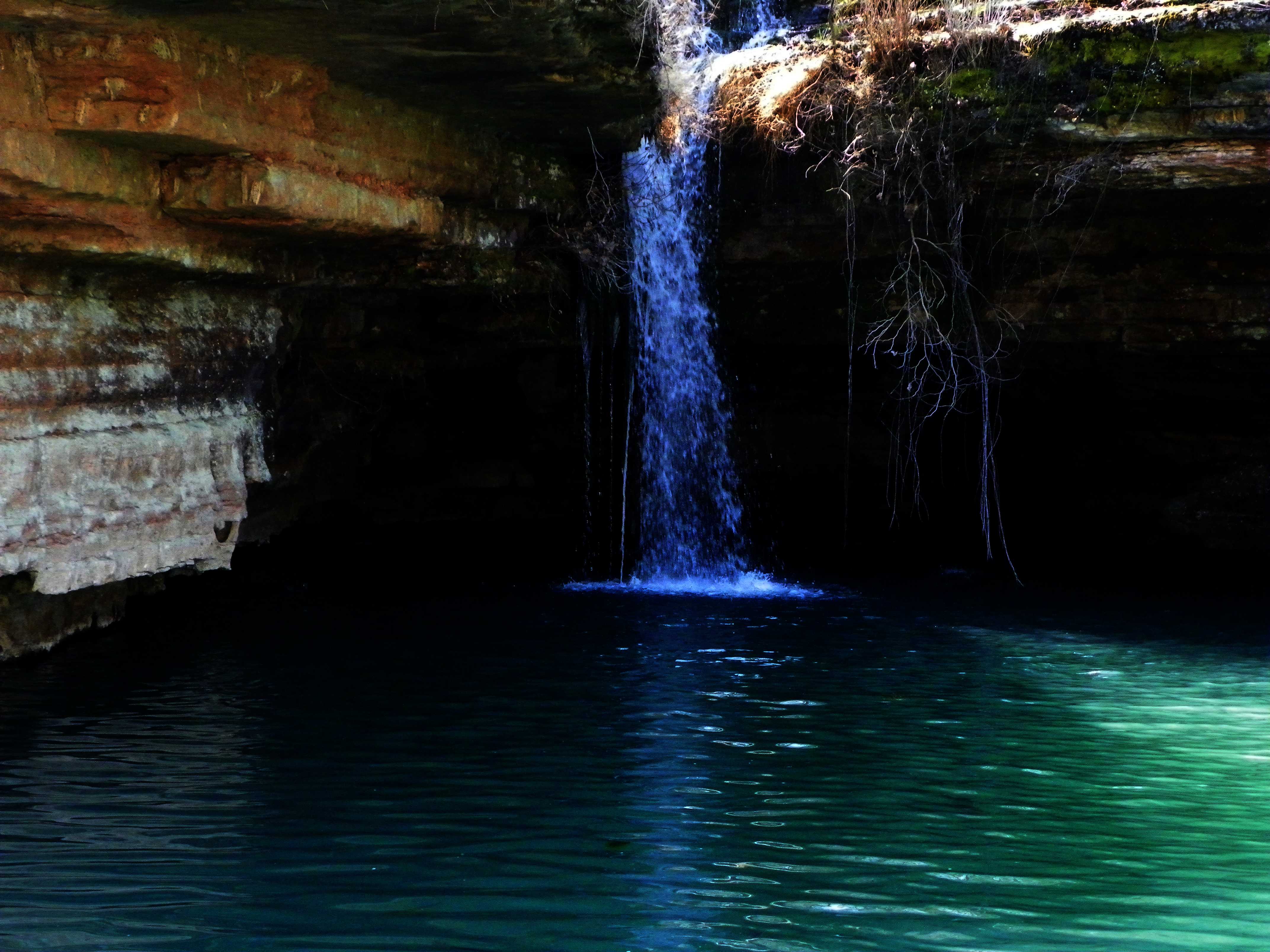
Talking Rocks Cavern II: First View
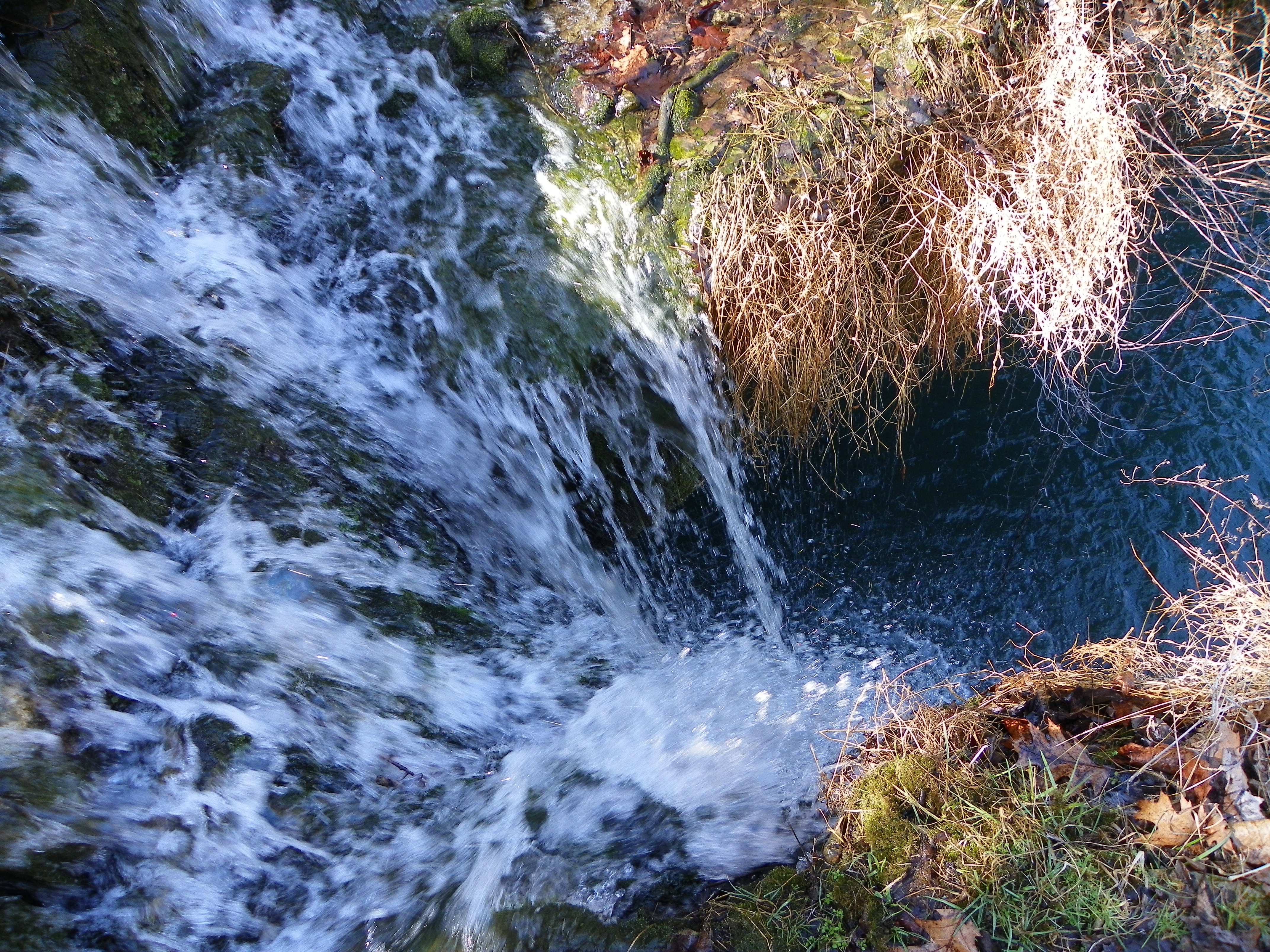
Swimmer's eye view
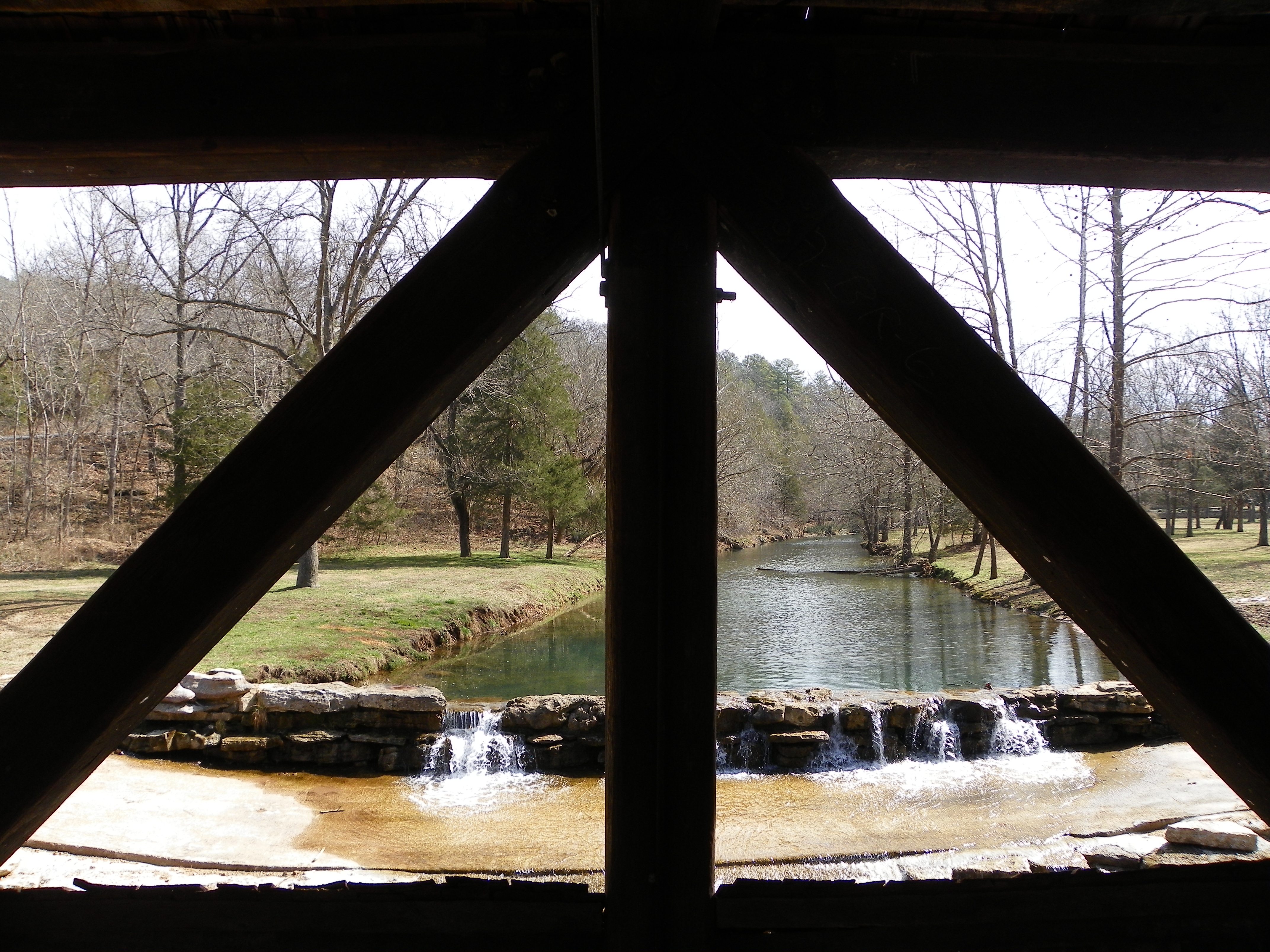
Dogwood Canyon Nature Park - Lampe, Missouri
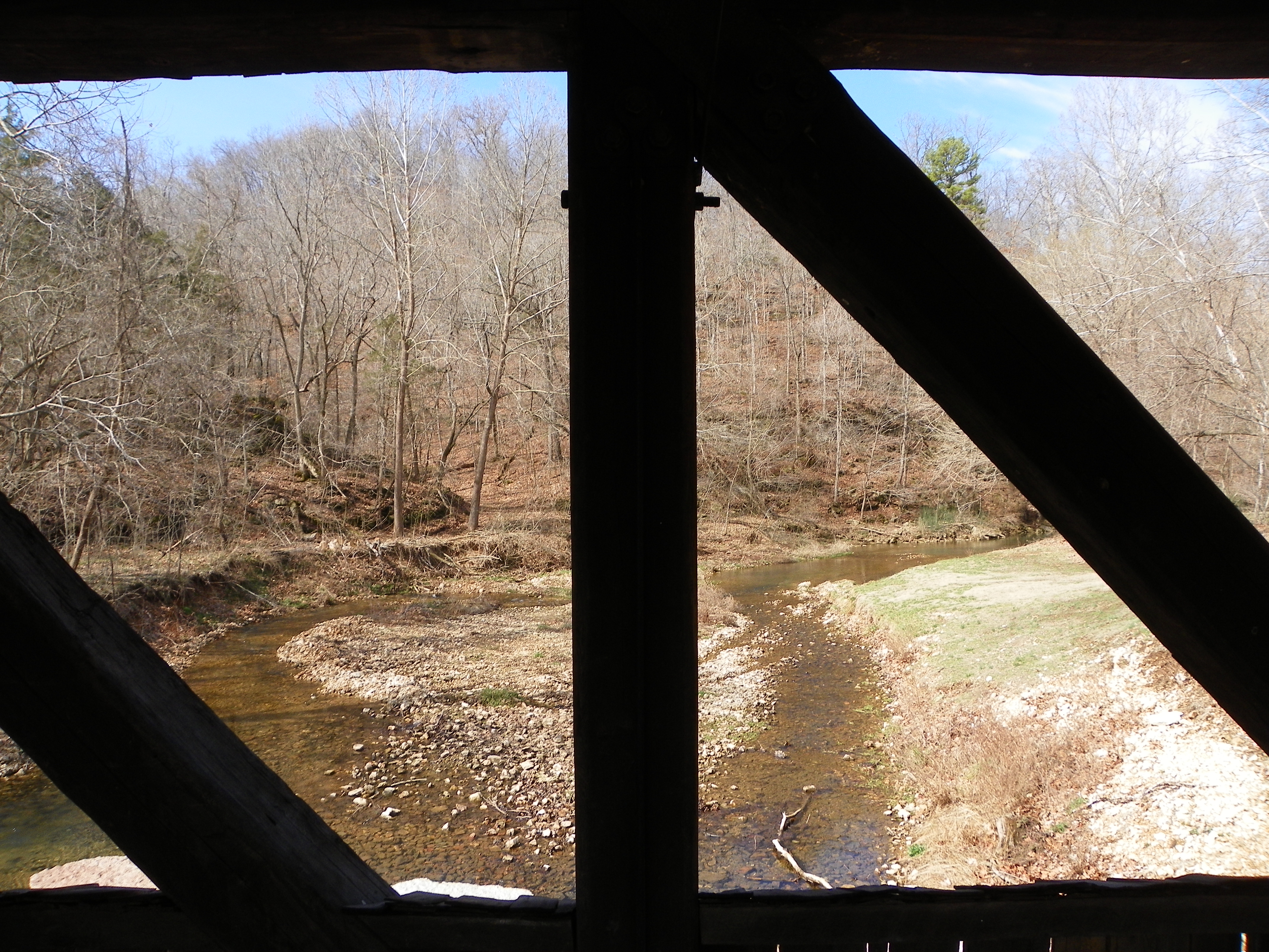
Dogwood Canyon Nature Park - Lampe, Missouri
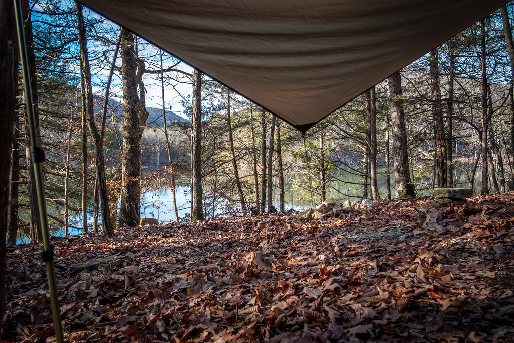
View From My Hammock
Anopther view to the east
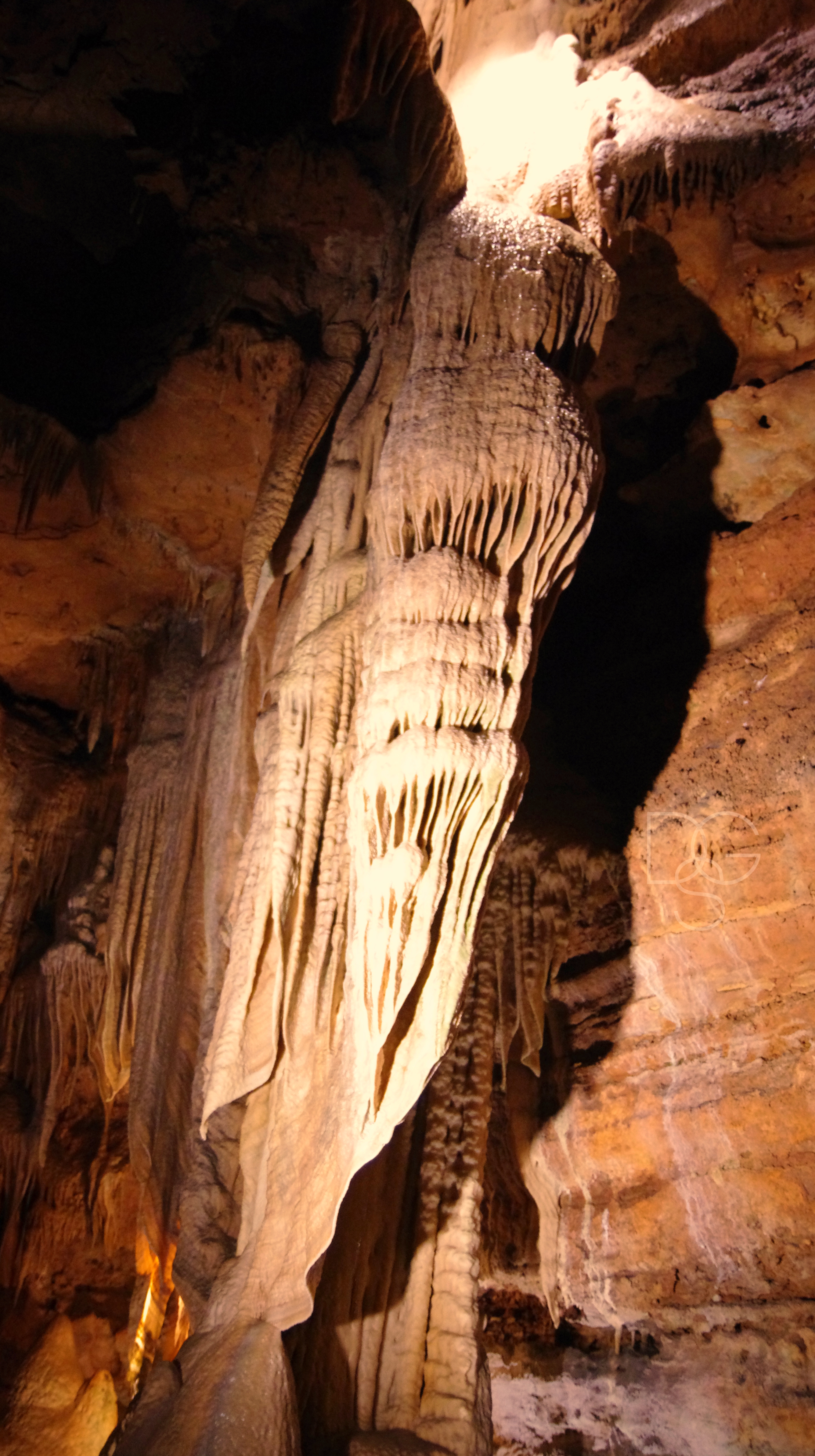
Talking Rocks Caverns VII: Angel Angle
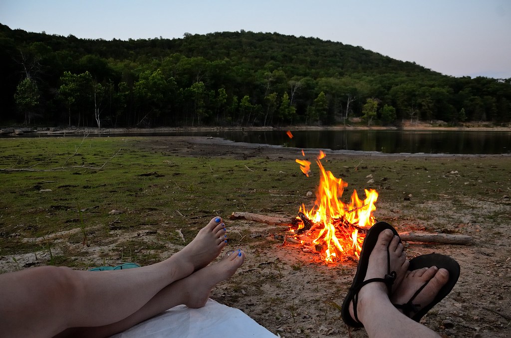
Piney Creek Wilderness - Campfire

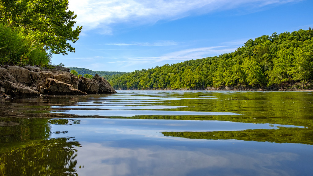
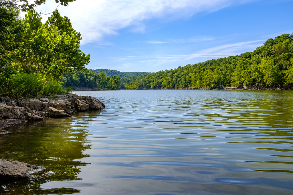
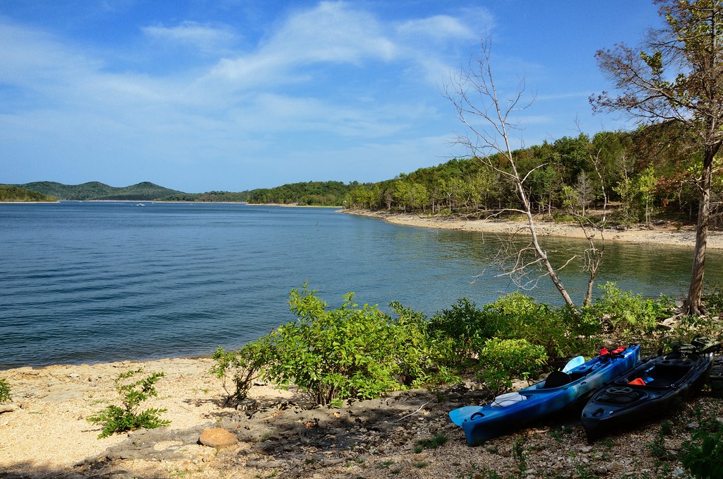
Big Bay Campground, Campsite No. 27 view to the east over Table Rock Lake
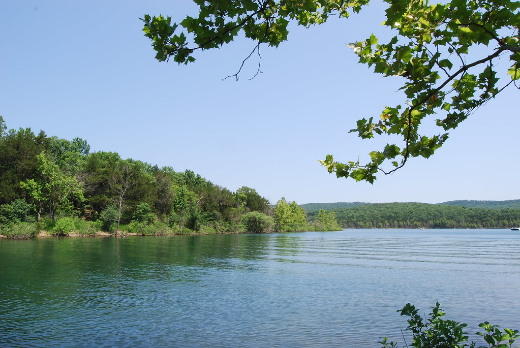
Table Rock Lake from Big Bay Campsite
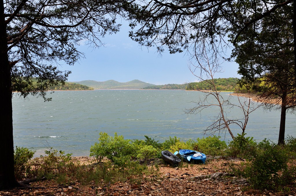
Big Bay Campground, Campsite No. 27 view to the east over Table Rock Lake
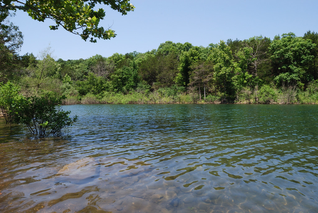
Table Rock Lake from Big Bay Campsite
Big Bay campground runs all around the ridge to the right.
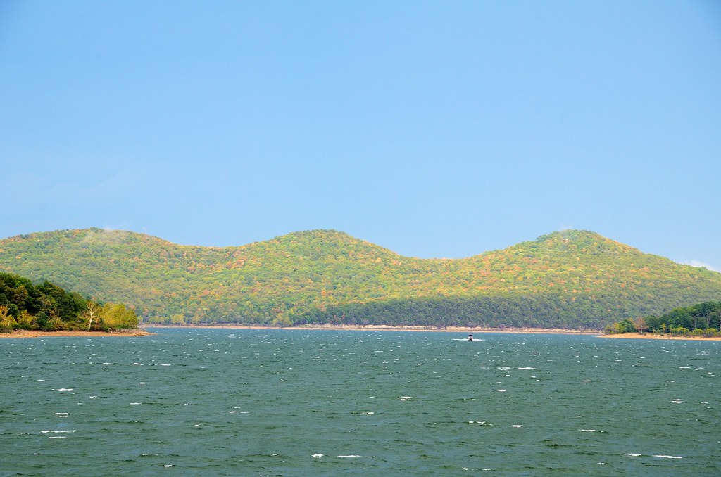
Big Bay Campground, Campsite #27 view to the east over Table Rock Lake
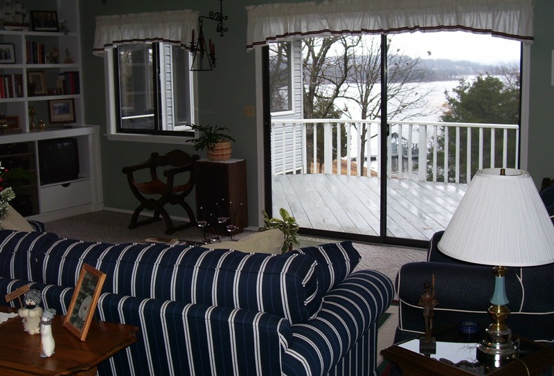
Great Room with a great view
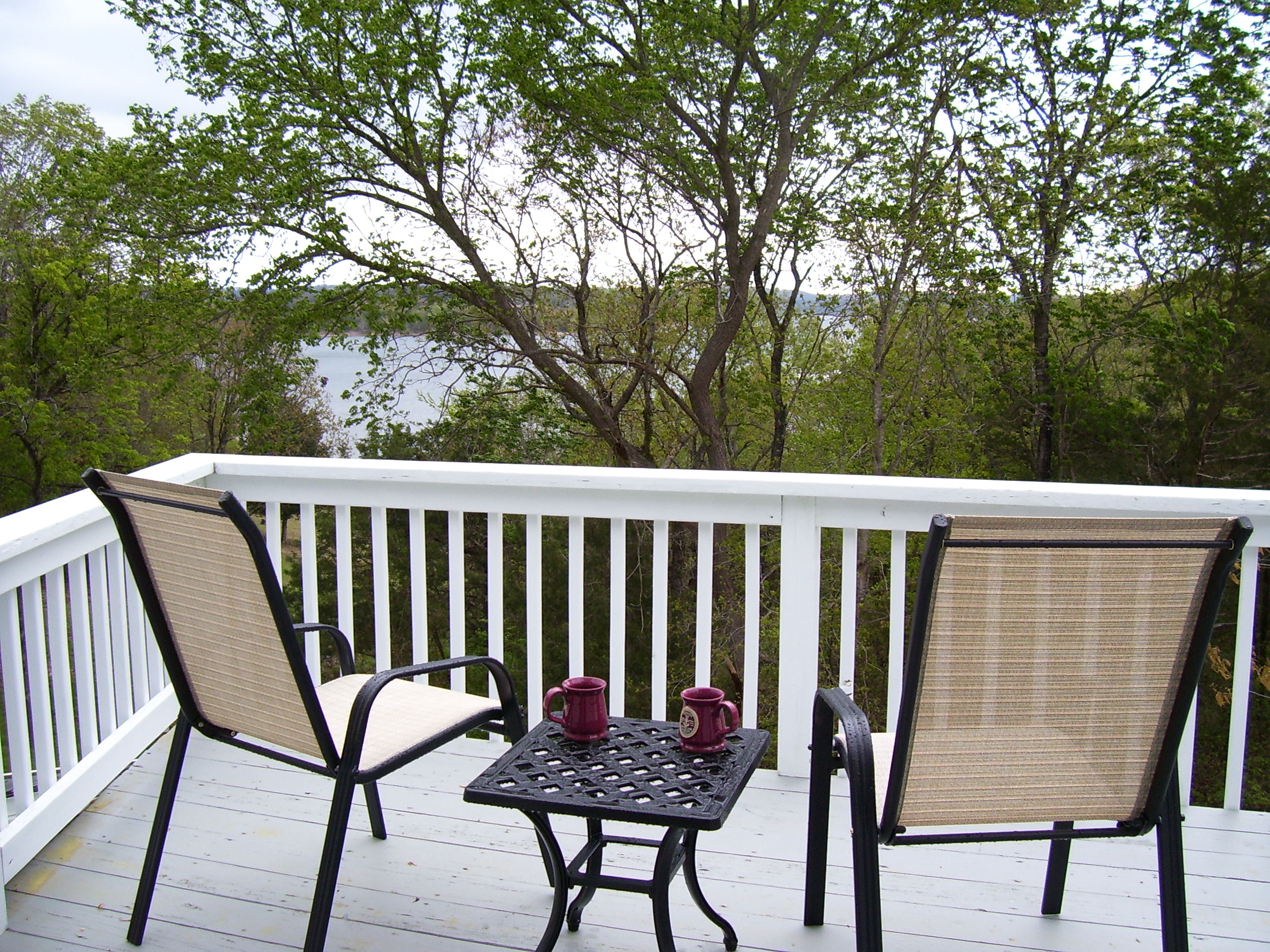
Enjoy the view off the Mediterranean Watchroom deck
Xy at the Right Condo
View from parent's lake house via iPhone 4

Big Bay campground runs all around the ridge to the right.
Looking up the hill
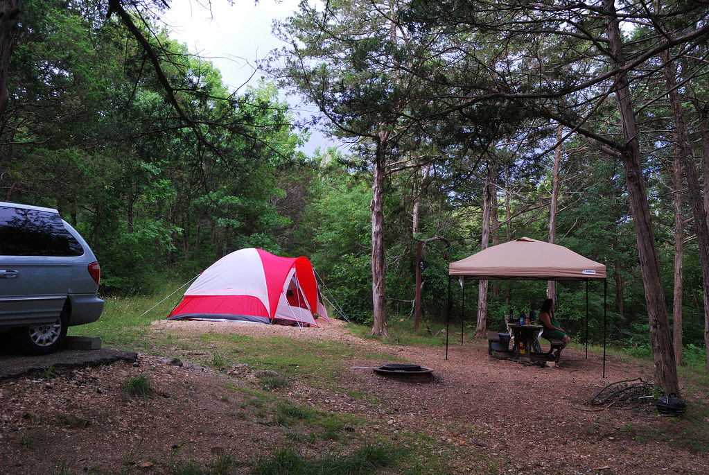
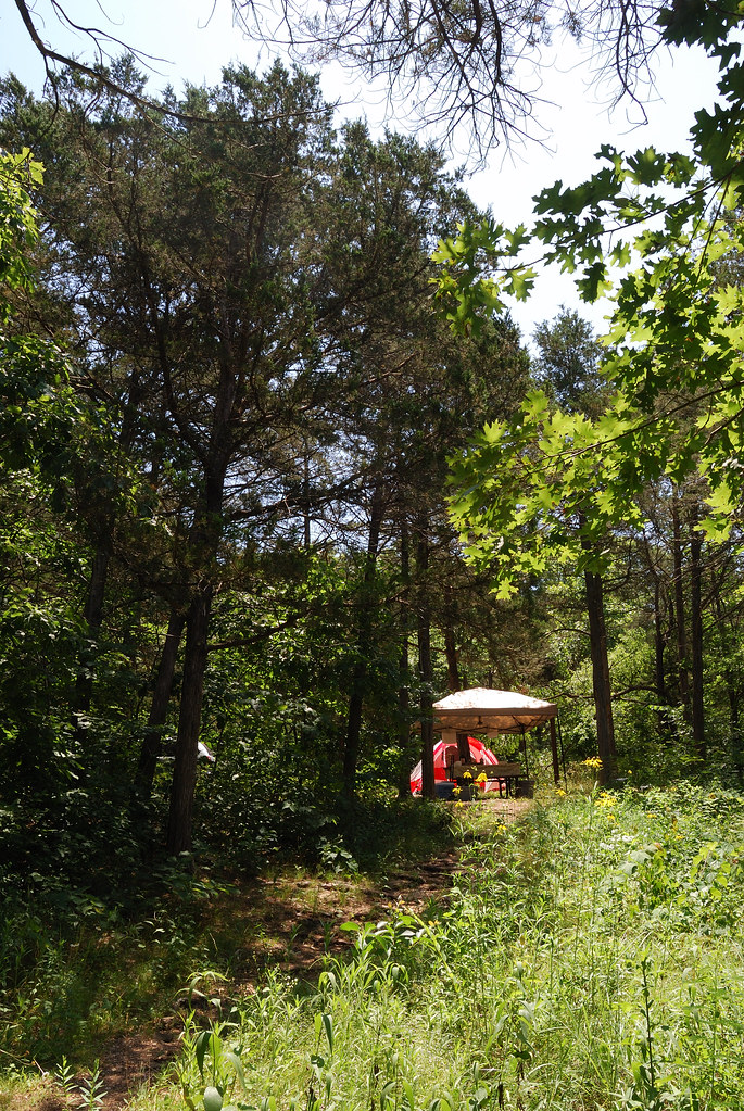
Camping at Big Bay Recreation Area area
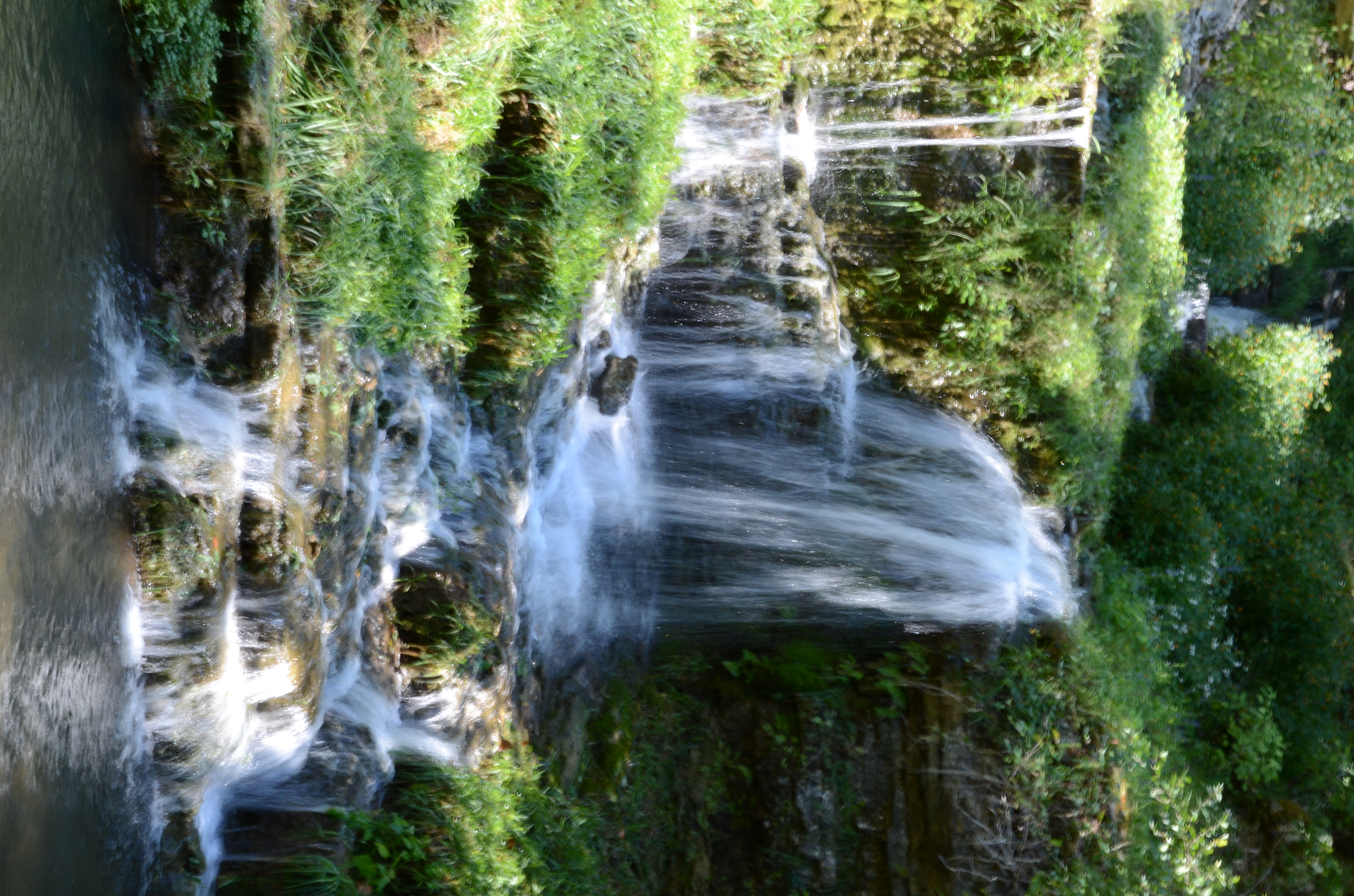
Dogwood Canyon Nature Park - Lampe, Missouri
Dogwood Canyon Nature Park - Lampe, Missouri

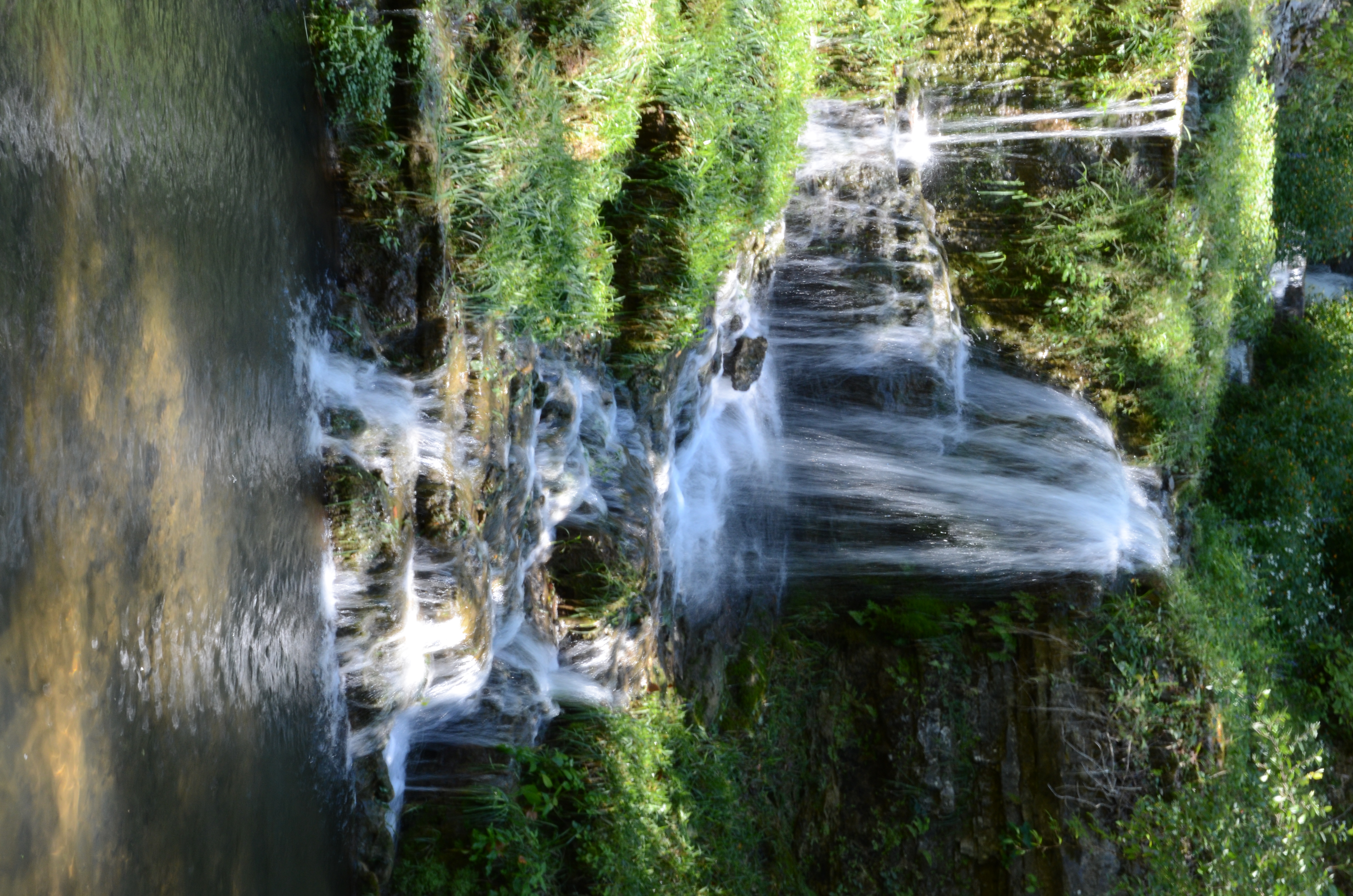
Dogwood Canyon Nature Park - Lampe, Missouri

Dogwood Canyon Nature Park - Lampe, Missouri
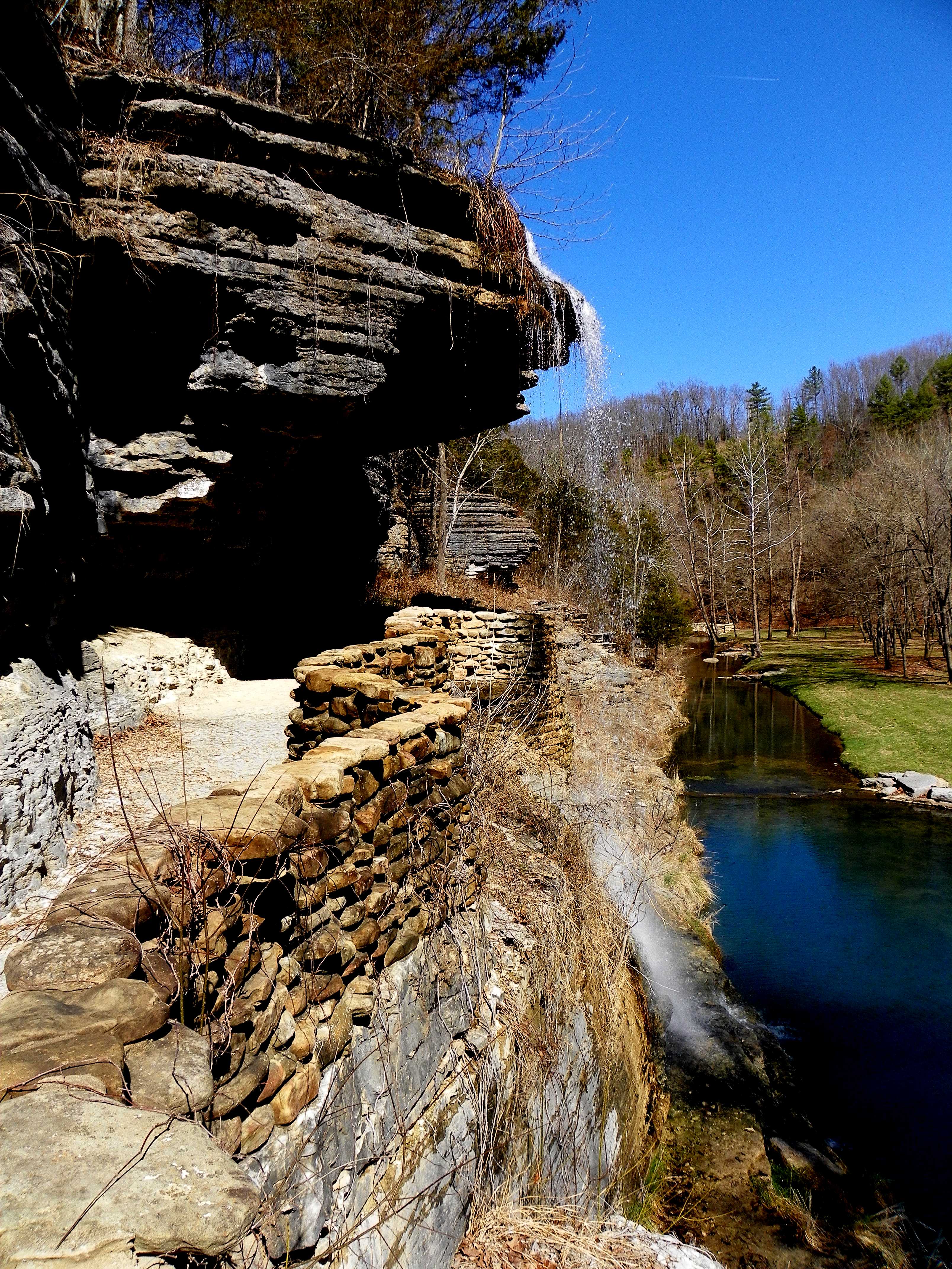
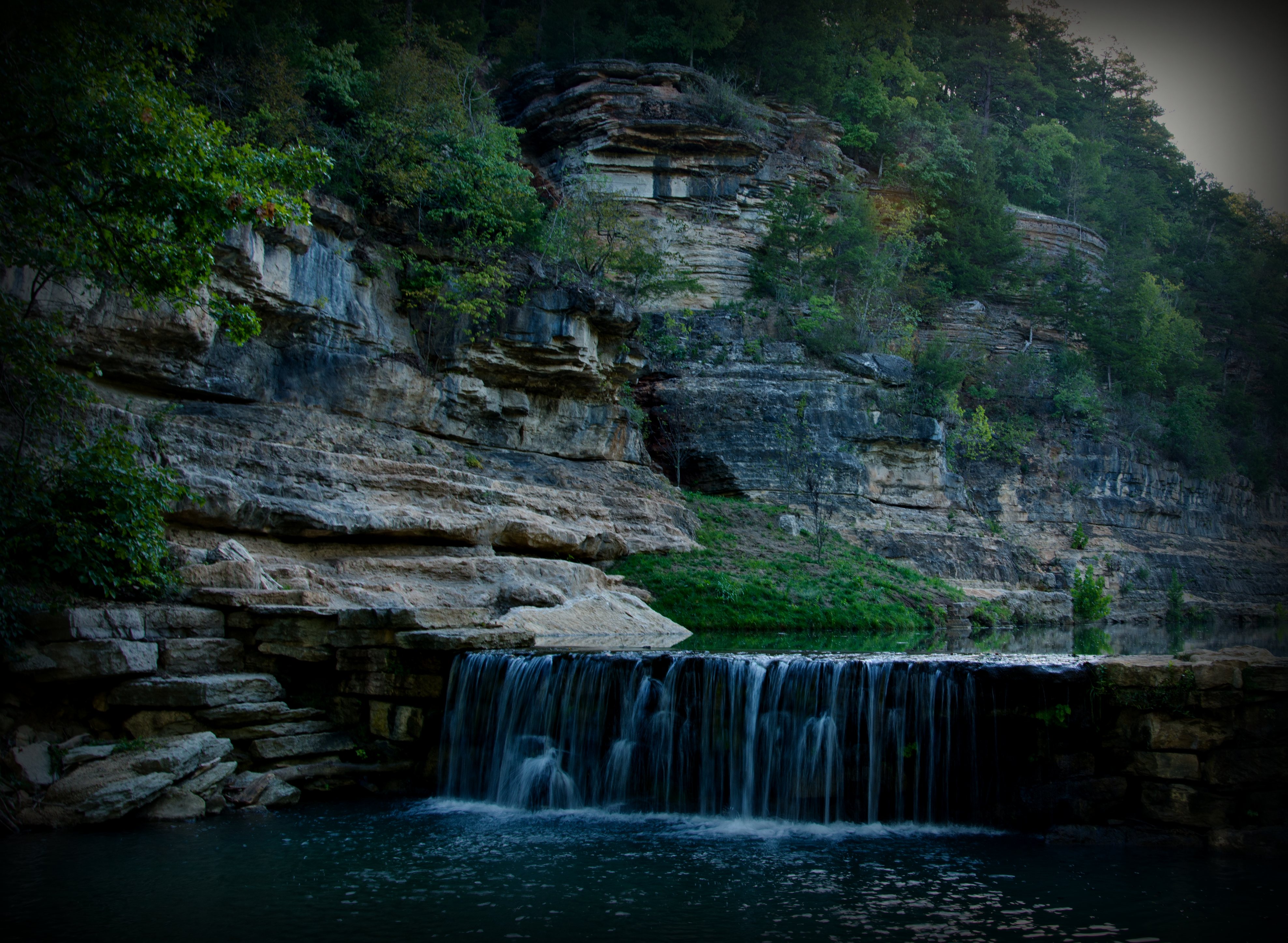
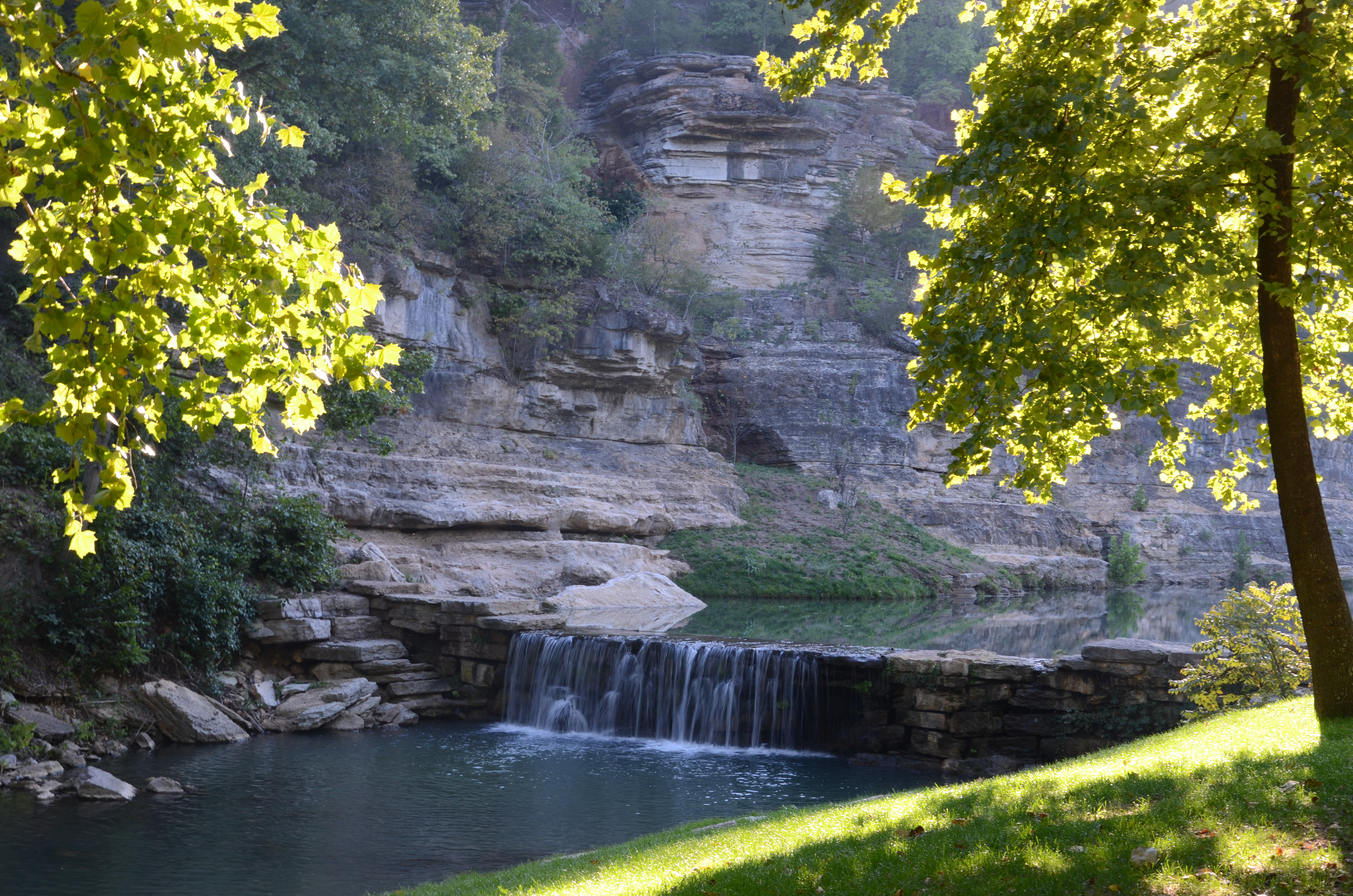
Missouri - Dogwood Canyon Nature Preserve

the point...
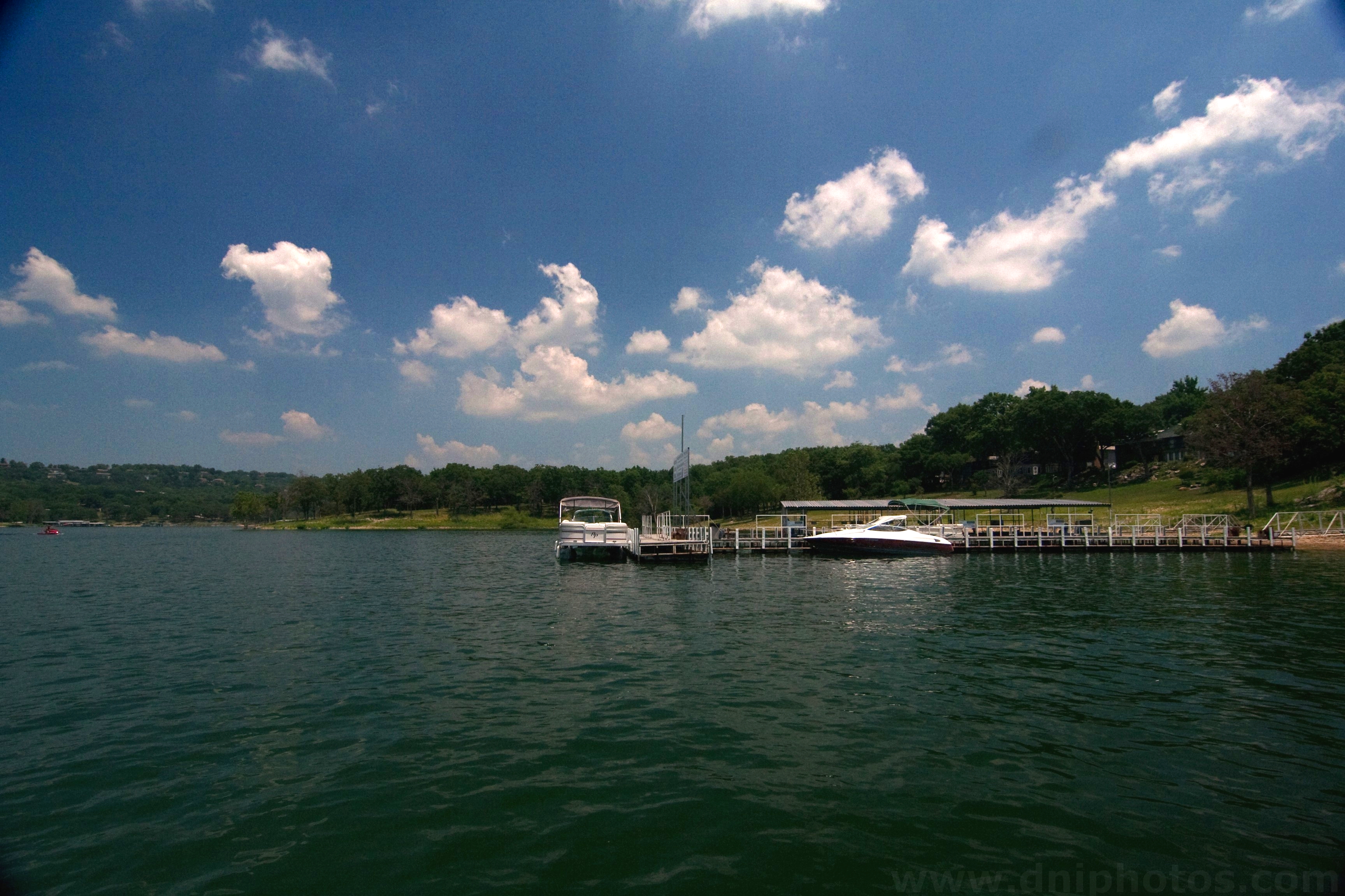
Table Rock dock

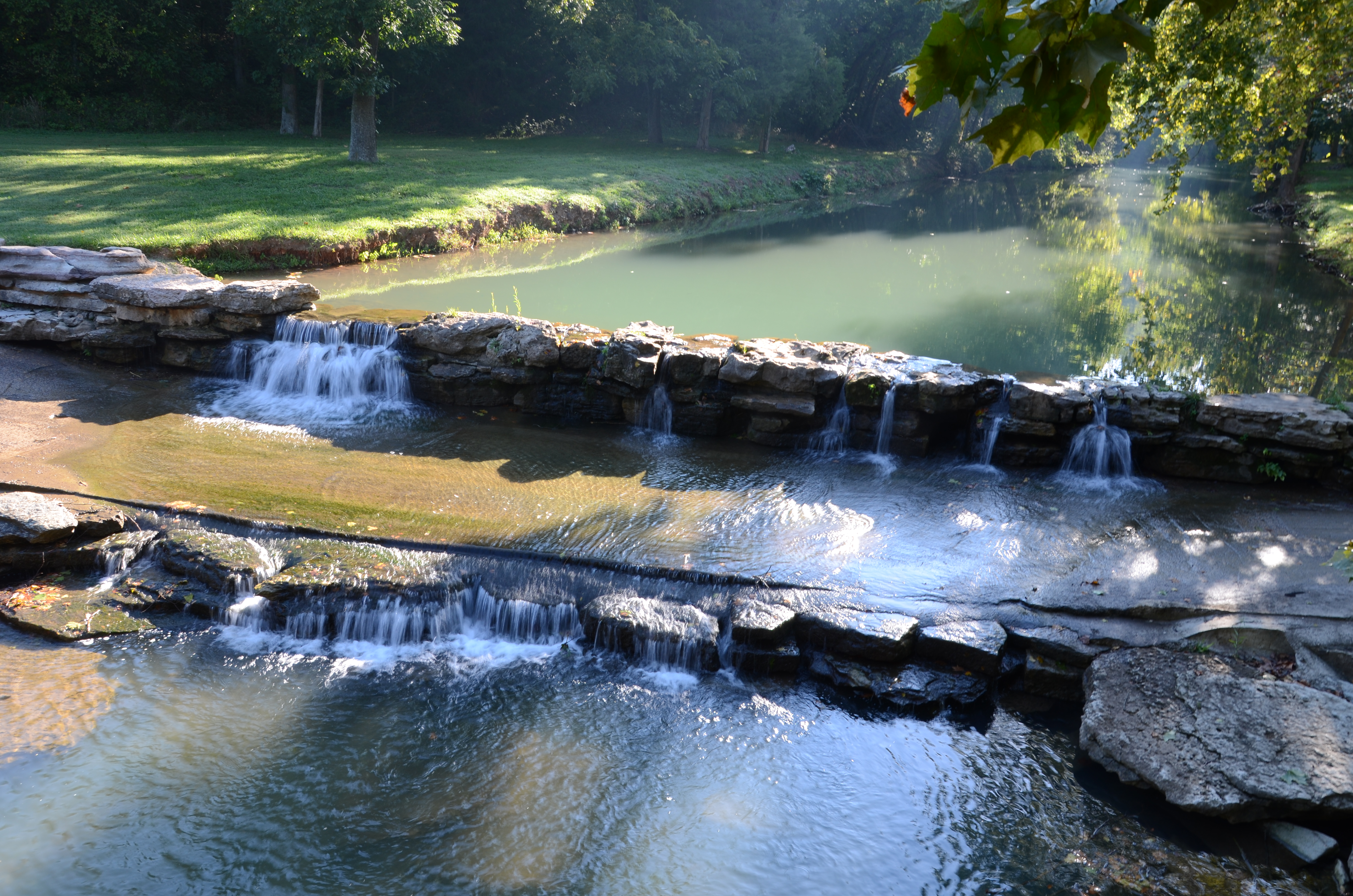
Dogwood Canyon Nature Park - Lampe, Missouri
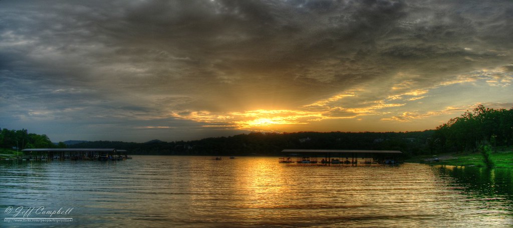
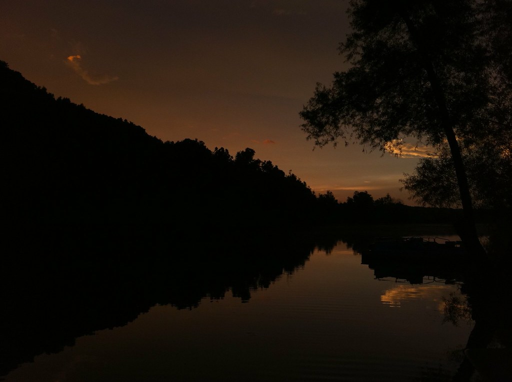
Sunset over Table Rock Lake
Dogwood Canyon Nature Park - Lampe, Missouri
Dogwood Canyon Nature Park - Lampe, Missouri
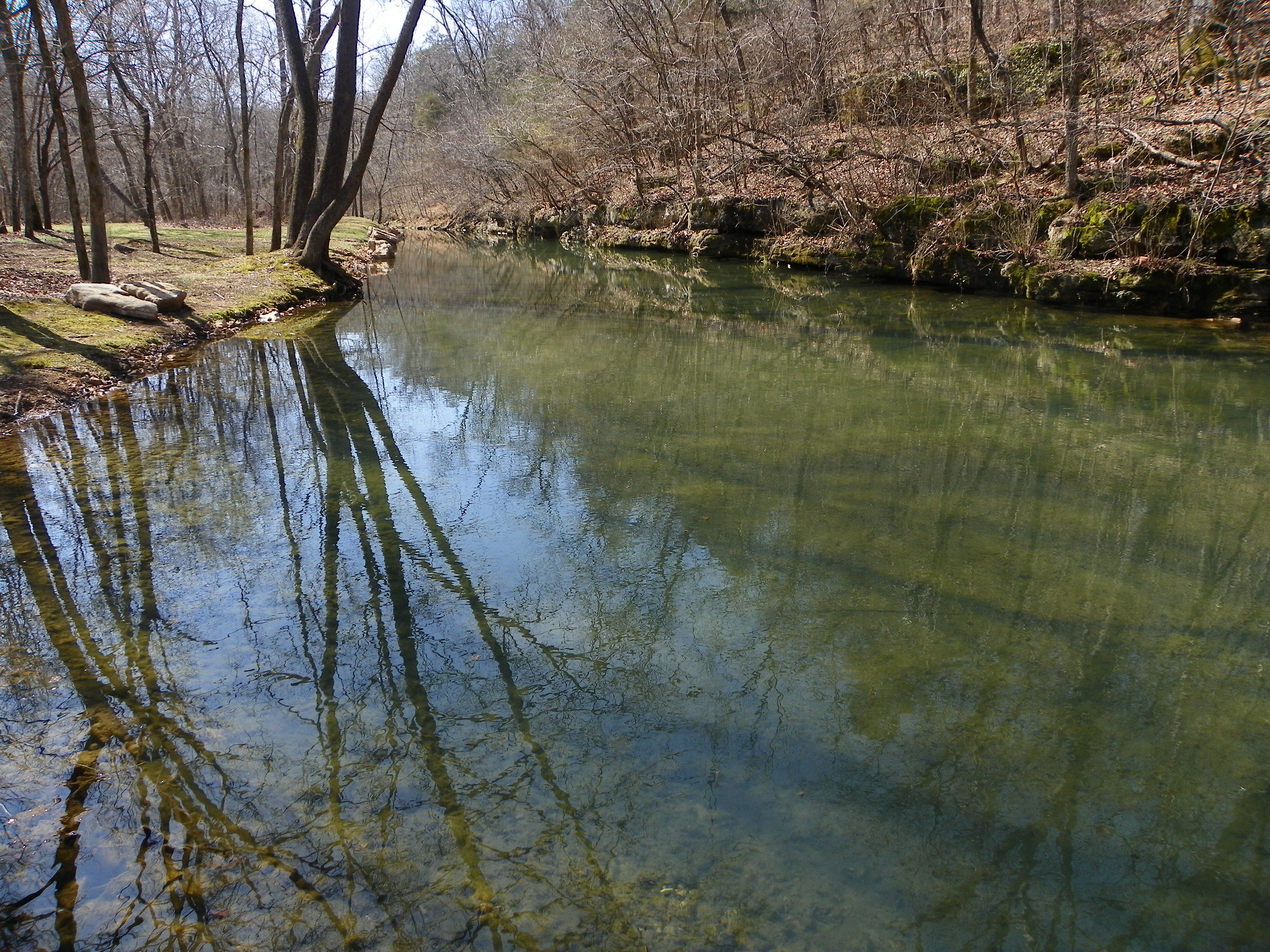
Dogwood Canyon Nature Park - Lampe, Missouri
Dogwood Canyon Nature Park - Lampe, Missouri
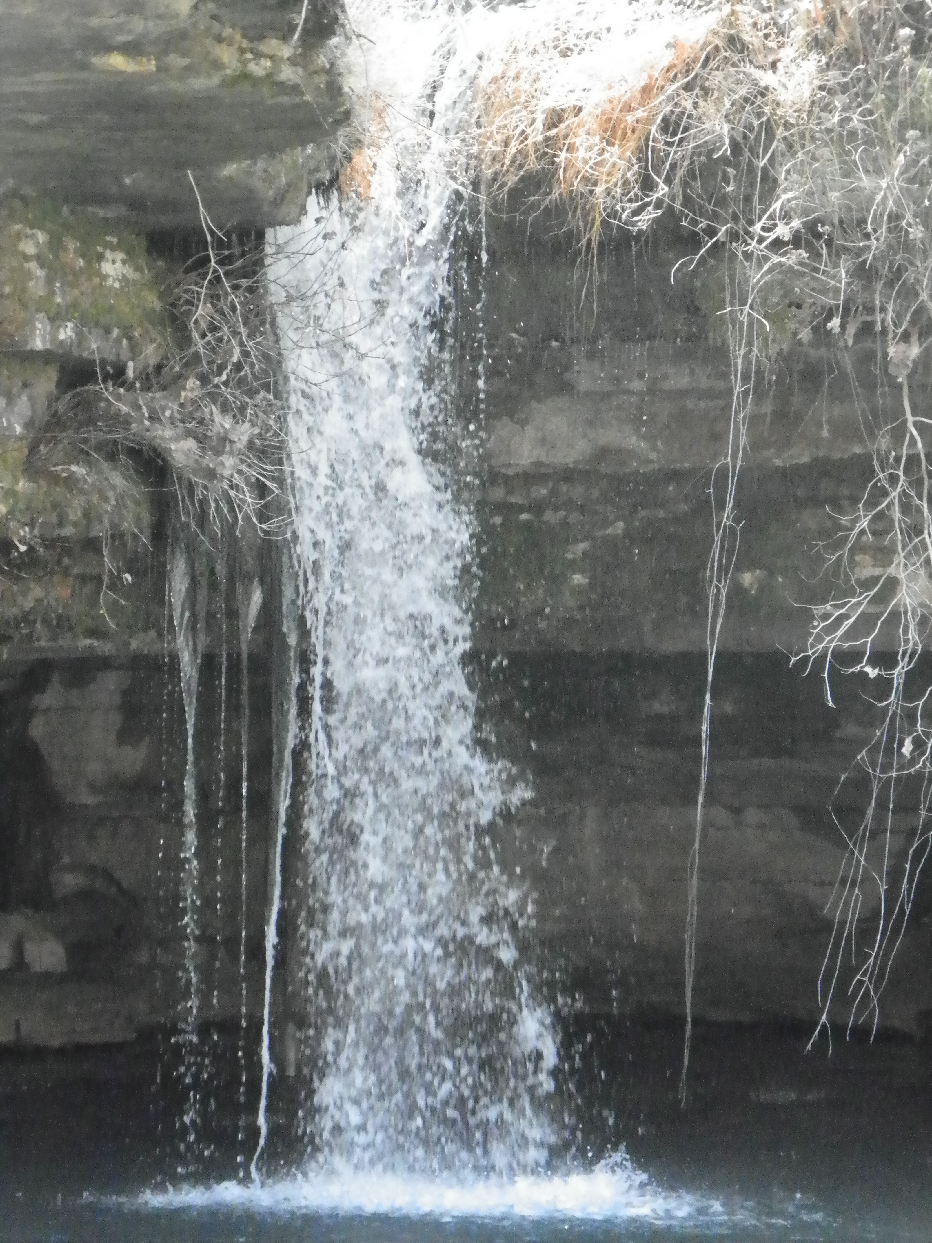
Dogwood Canyon Nature Park - Lampe, Missouri
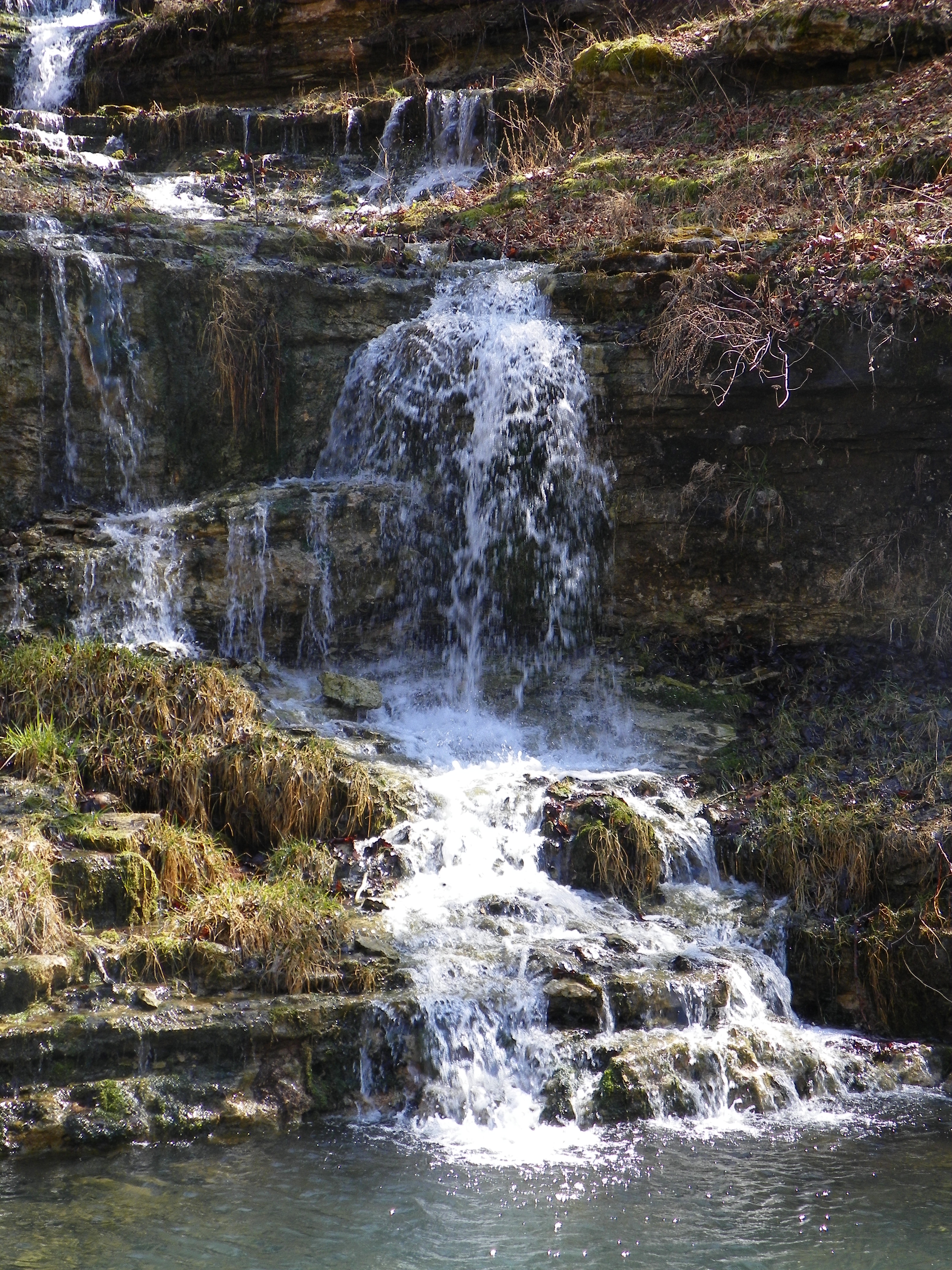
Dogwood Canyon Nature Park - Lampe, Missouri
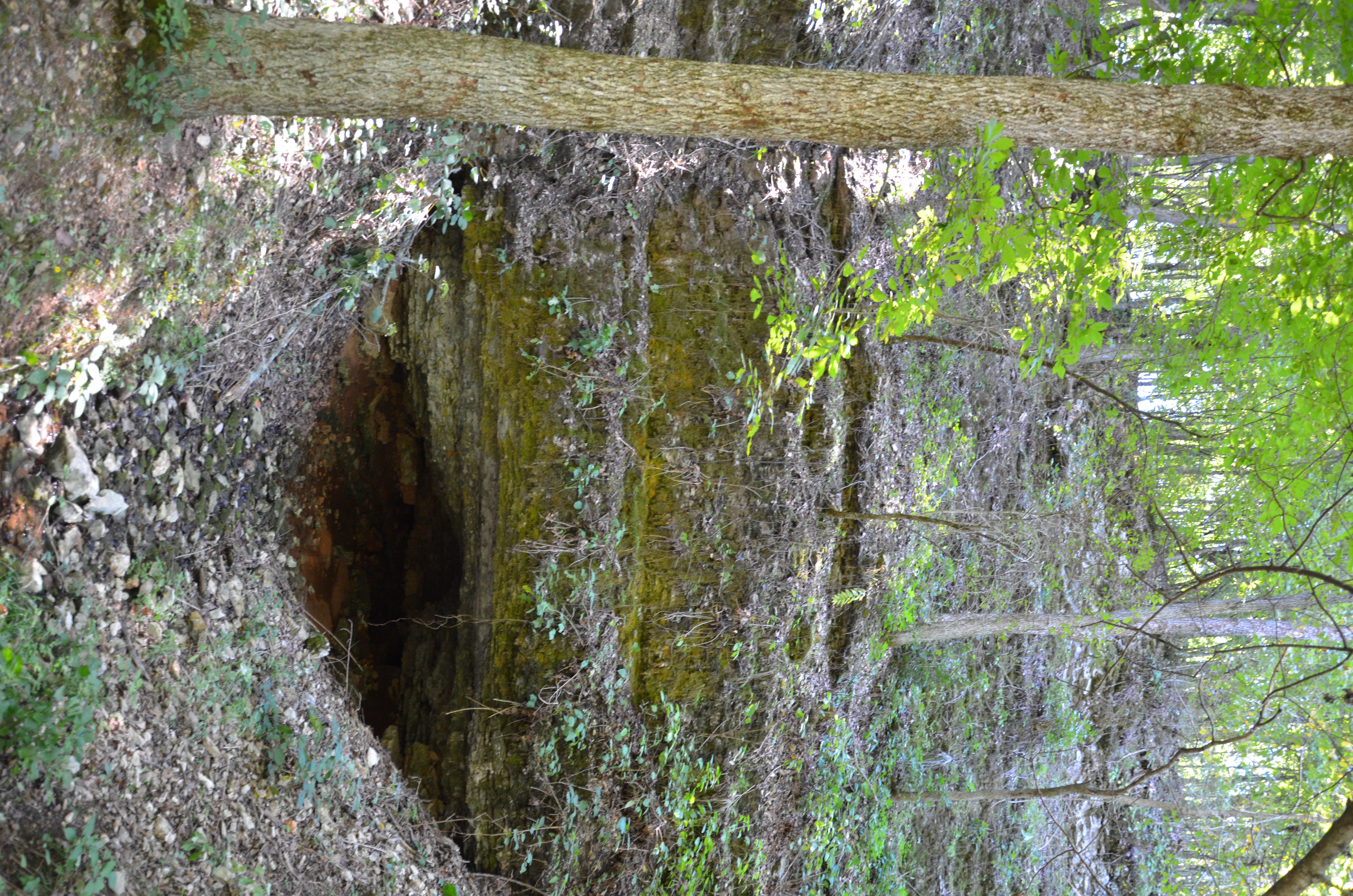
Dogwood Canyon Nature Park - Lampe, Missouri
Dogwood Canyon Nature Park - Lampe, Missouri
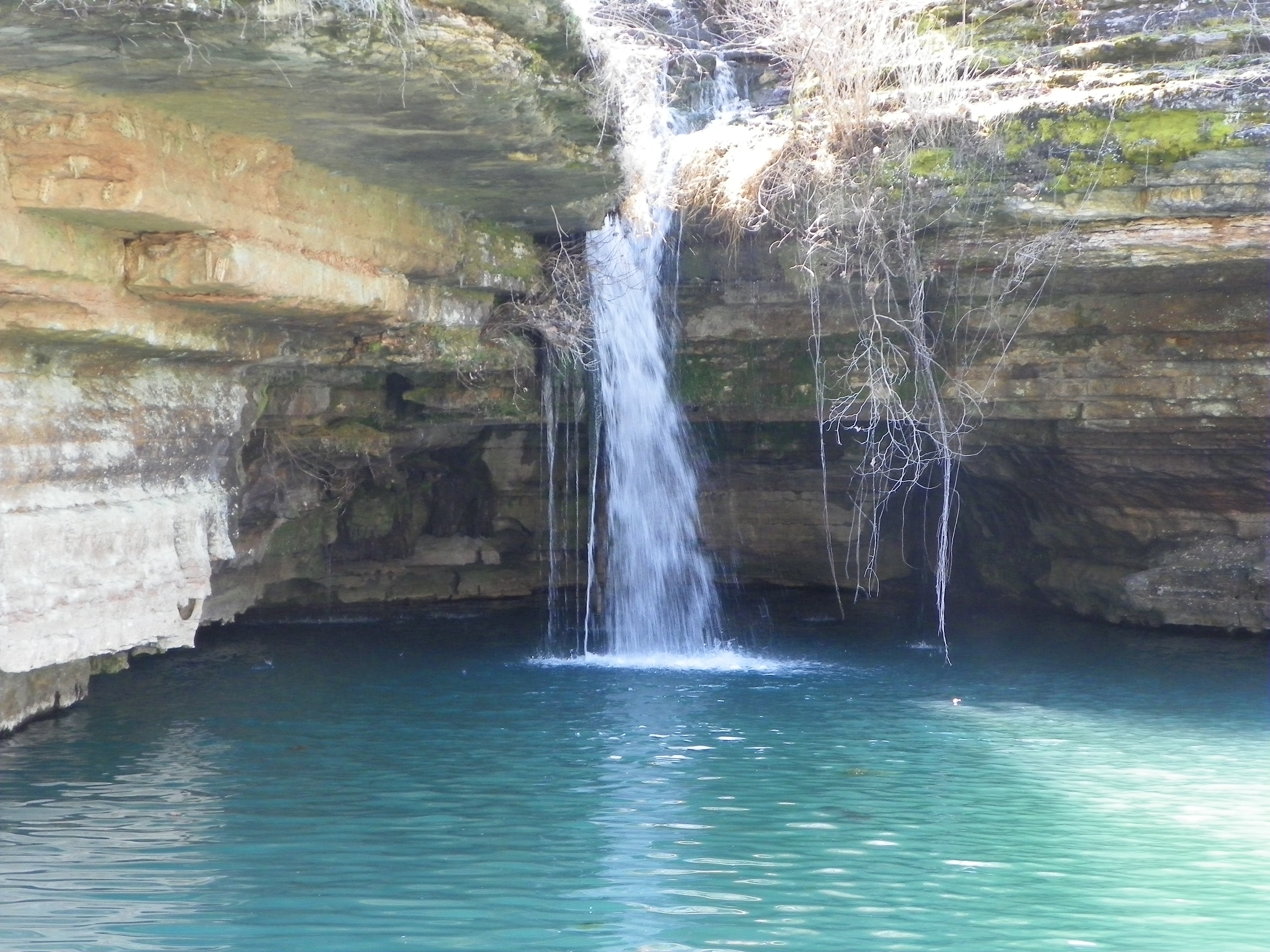
Dogwood Canyon Nature Park - Lampe, Missouri
Dogwood Canyon Nature Park - Lampe, Missouri
Dogwood Canyon Nature Park - Lampe, Missouri
Topographic Map of Stallion Bluff Rd, Shell Knob, MO, USA
Find elevation by address:

Places near Stallion Bluff Rd, Shell Knob, MO, USA:
Crystal Beach Circle
103 Rustic Ridge Dr
Cedar Falls Road
389 16th St
407 Eagles Point Ln
282 Cool Water Cove Rd
Shell Knob Township
65 Cristin Ln
Shell Knob
Farm Road 1240
MO-39, Shell Knob, MO, USA
25075 Stallion Bluff Rd
Harbor Lane
18557 Fr 1240
17164 Mo-39
Mineral Township
Roaring River Township
Eagle Rock Quarry
15132 Fr 1155
14093 Farm Rd 2200
Recent Searches:
- Elevation of Woodland Oak Pl, Thousand Oaks, CA, USA
- Elevation of Brownsdale Rd, Renfrew, PA, USA
- Elevation of Corcoran Ln, Suffolk, VA, USA
- Elevation of Mamala II, Sariaya, Quezon, Philippines
- Elevation of Sarangdanda, Nepal
- Elevation of 7 Waterfall Way, Tomball, TX, USA
- Elevation of SW 57th Ave, Portland, OR, USA
- Elevation of Crocker Dr, Vacaville, CA, USA
- Elevation of Pu Ngaol Community Meeting Hall, HWHM+3X7, Krong Saen Monourom, Cambodia
- Elevation of Royal Ontario Museum, Queens Park, Toronto, ON M5S 2C6, Canada