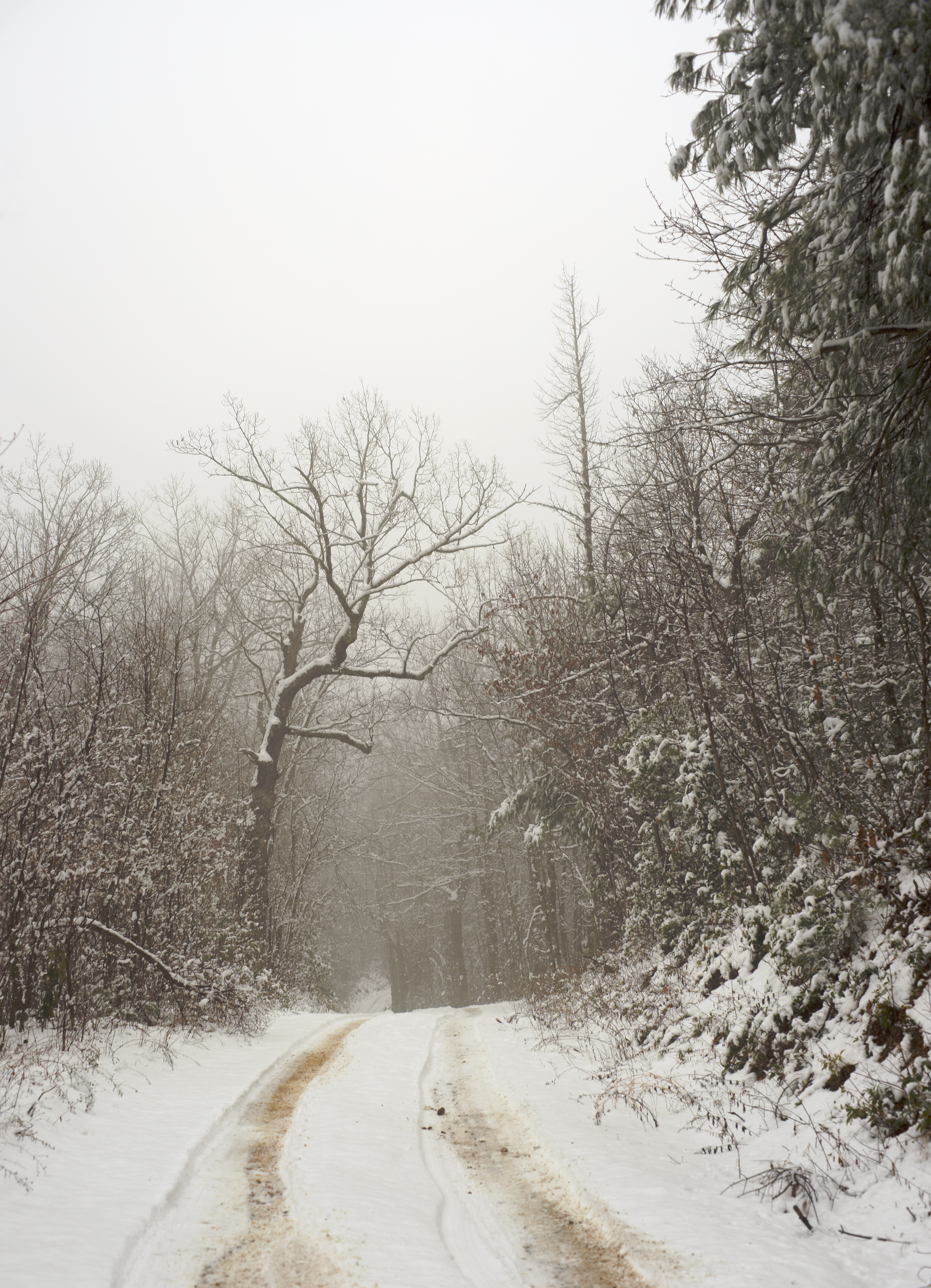
Elevation of Stagecoach Rd, Zirconia, NC, USA
Location: United States > North Carolina > Henderson County > Green River > Zirconia >
Longitude: -82.430832
Latitude: 35.1894459
Elevation: 696m / 2283feet
Barometric Pressure: 93KPa
Elevation Map:
Satellite Map:
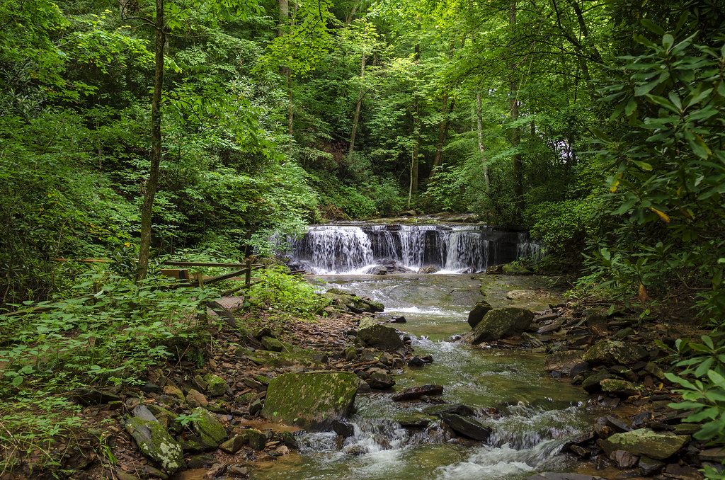
Related Photos:
PrettyPlace, (Symmes Chapel)

Poinsett Bridge near Highland, SC

Sugarloaf Elementary School, Hendersonville, NC

Stone Mountain
Once-staff members Dean Mayer and Mark Bailey view the remnants of The Boathouse, the waterfront-staff cabin where they once spent their summers on staff..

Pretty Place Chapel

Log Bench

Hendersonville Bears 13 - Into The Wild

PEARSON'S FALLS BLUE RIDGE MOUNTAINS ~ N.C.

Orange Peppers

Jeter Mountain Fog

In a Hurry

Cascading Water

I will lift up my eyes to the hills...

Pearson's Falls

Pearson Lower New Trail - Read Description

Pleasant Ridge Falls - Marietta, S.C.

River On the Rocks II

Flat Rock Village Hall

Pearson's Falls-through the Trees

Smoke Layers
Jones Gap State Park
Gentle Falls on the North Pacolet River

Jones Gap

Gentle North Pacolet

Sunrise Tryon

Middle Saluda River - Jones Gap

Middle Saluda at Jones Gap

Low Key

Fish Pond at Jones Gap
The Guarded Way

The Park At Flat Rock (Flat Rock, North Carolina)

Road to Nowhere

First light

Morning Mist

Sunrise at Mt Tryon

Poinsett Bridge - Greenville Co, S.C.

South Carolina Stream in the Spring

Pearson's Falls in HDR
Peaceful Trail

Falls Along the Pacolet
Topographic Map of Stagecoach Rd, Zirconia, NC, USA
Find elevation by address:

Places near Stagecoach Rd, Zirconia, NC, USA:
9 Courtesy Ln
99 Courtesy Ln
229 Crown Ridge Rd
375 Kingdom Pl
222 Highland View Ct
84 Bill Wilkie Dr
548 Newmanora Dr
350 Newmanora Dr
375 Newmanora Dr
405 Bella Vista Ct
265 Bella Vista Ct
340 Camp Cove Rd
285 Bella Vista Ct
13 Cliffsview Ct
67 Cliffsview Ct
Bella Vista Court
81 Cranmore Ln
Pruett Mountain
260 Bella Vista Ct
7 Hidden Rock Ct
Recent Searches:
- Elevation of Congressional Dr, Stevensville, MD, USA
- Elevation of Bellview Rd, McLean, VA, USA
- Elevation of Stage Island Rd, Chatham, MA, USA
- Elevation of Shibuya Scramble Crossing, 21 Udagawacho, Shibuya City, Tokyo -, Japan
- Elevation of Jadagoniai, Kaunas District Municipality, Lithuania
- Elevation of Pagonija rock, Kranto 7-oji g. 8"N, Kaunas, Lithuania
- Elevation of Co Rd 87, Jamestown, CO, USA
- Elevation of Tenjo, Cundinamarca, Colombia
- Elevation of Côte-des-Neiges, Montreal, QC H4A 3J6, Canada
- Elevation of Bobcat Dr, Helena, MT, USA