Elevation of Stagecoach Rd, Millstone, NJ, USA
Location: United States > New Jersey > Monmouth County > Millstone > Clarksburg >
Longitude: -74.434357
Latitude: 40.1902496
Elevation: 64m / 210feet
Barometric Pressure: 101KPa
Elevation Map:
Satellite Map:
Related Photos:
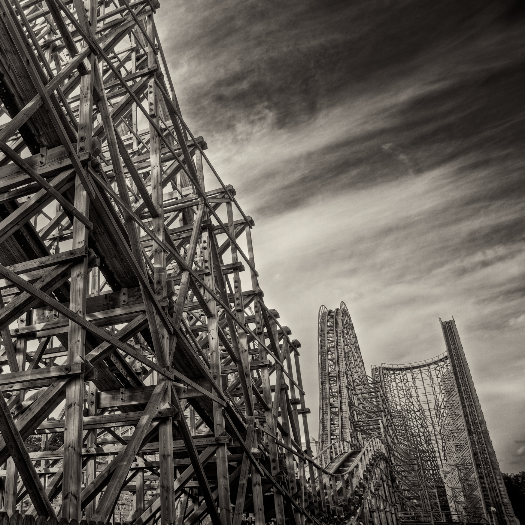
Custom Built
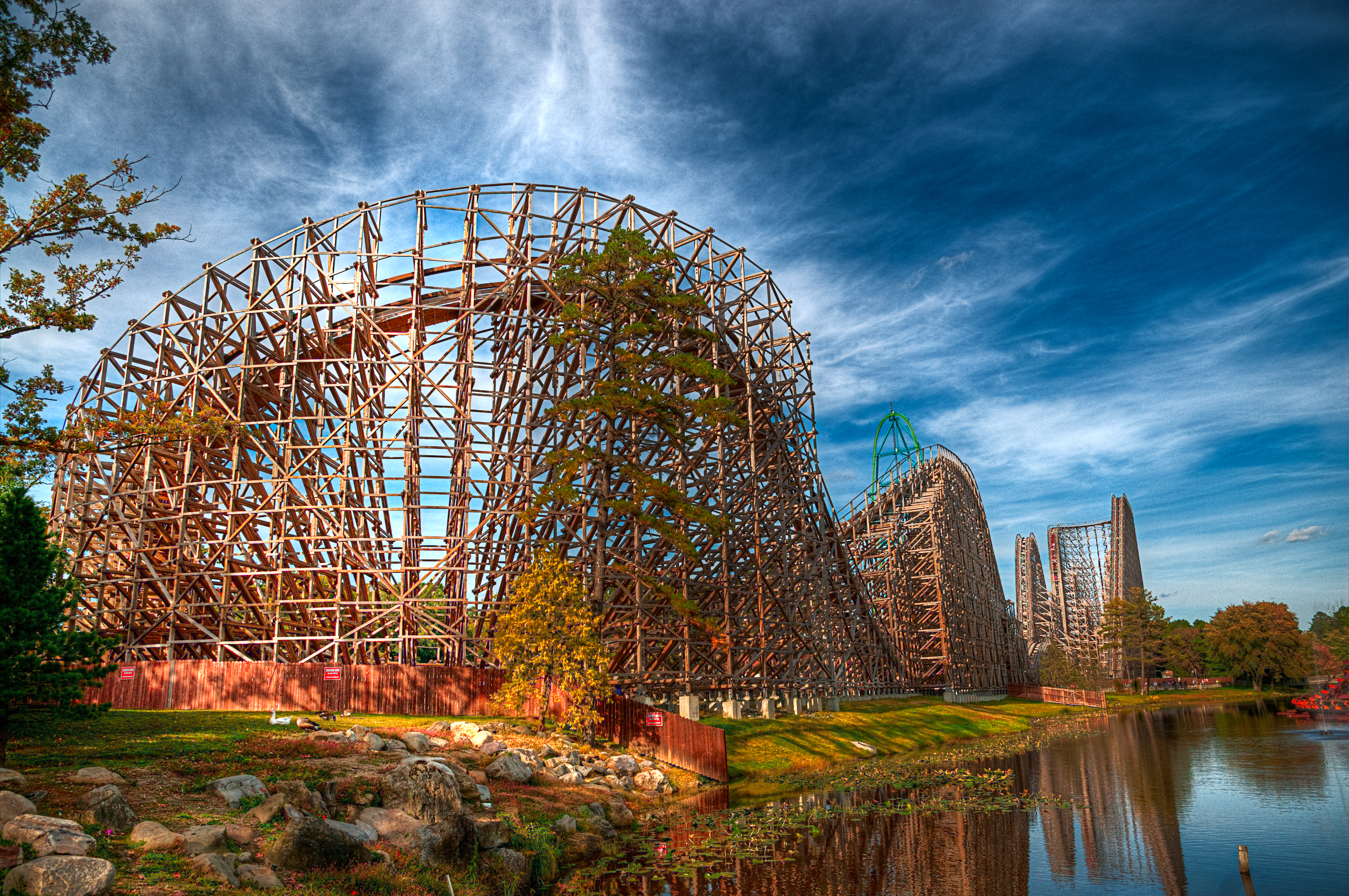
Rolling Thunder
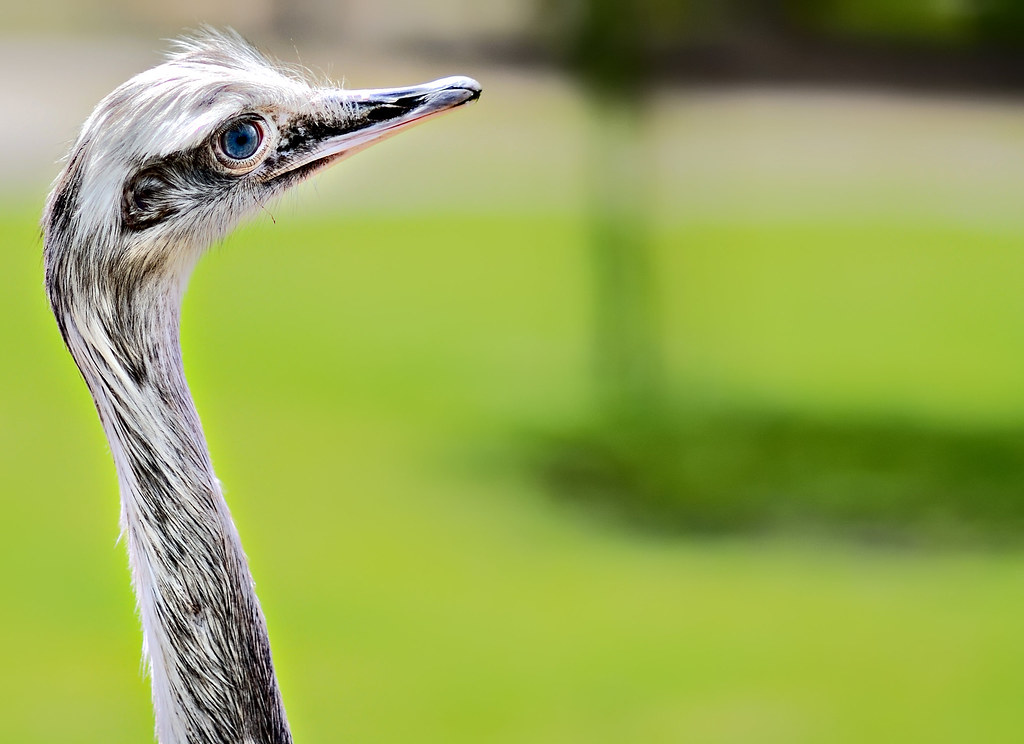
Stick Your Neck Out
Pink-footed Goose
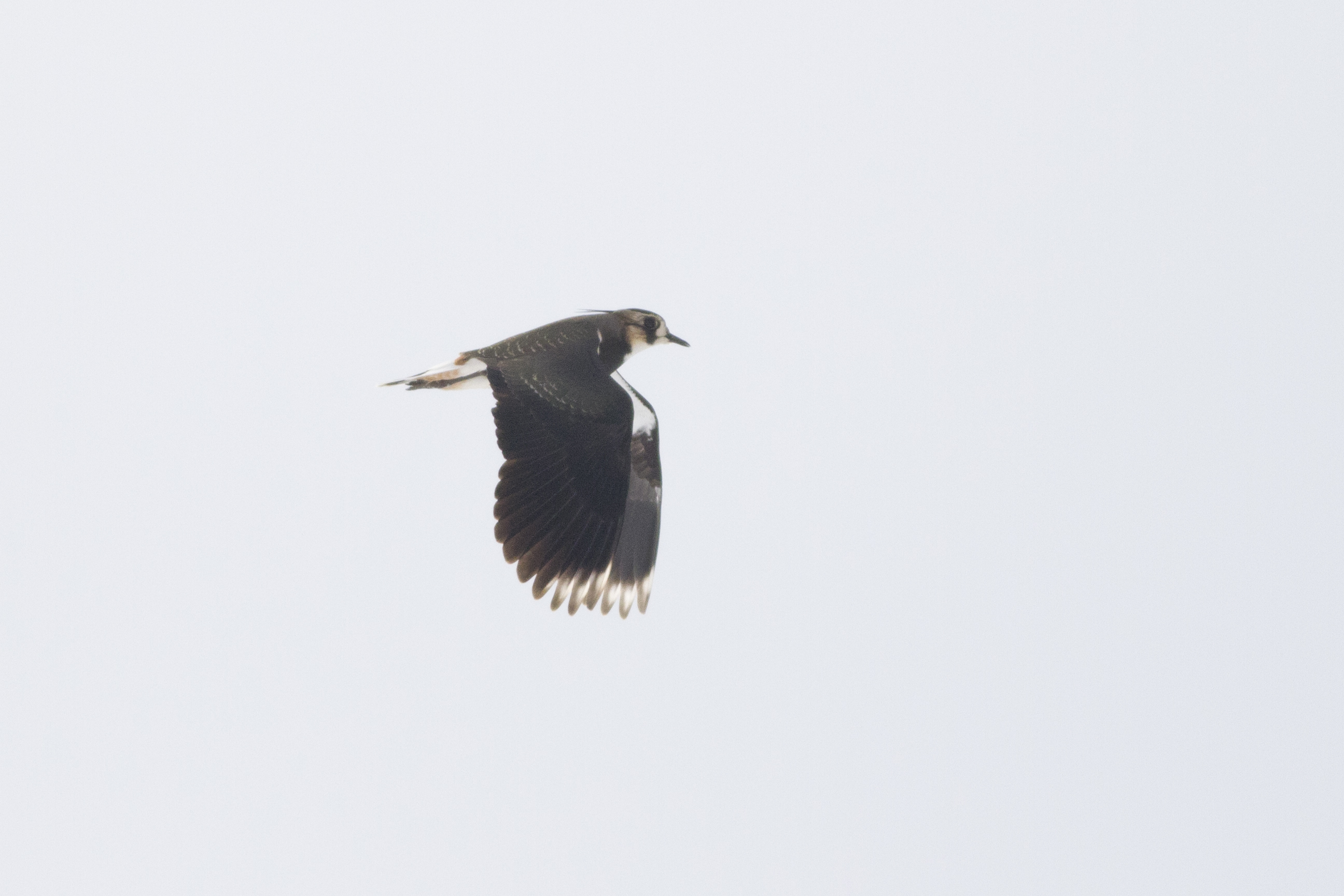
Northern Lapwing
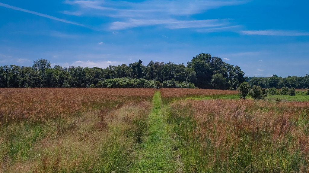
Overgrown Field
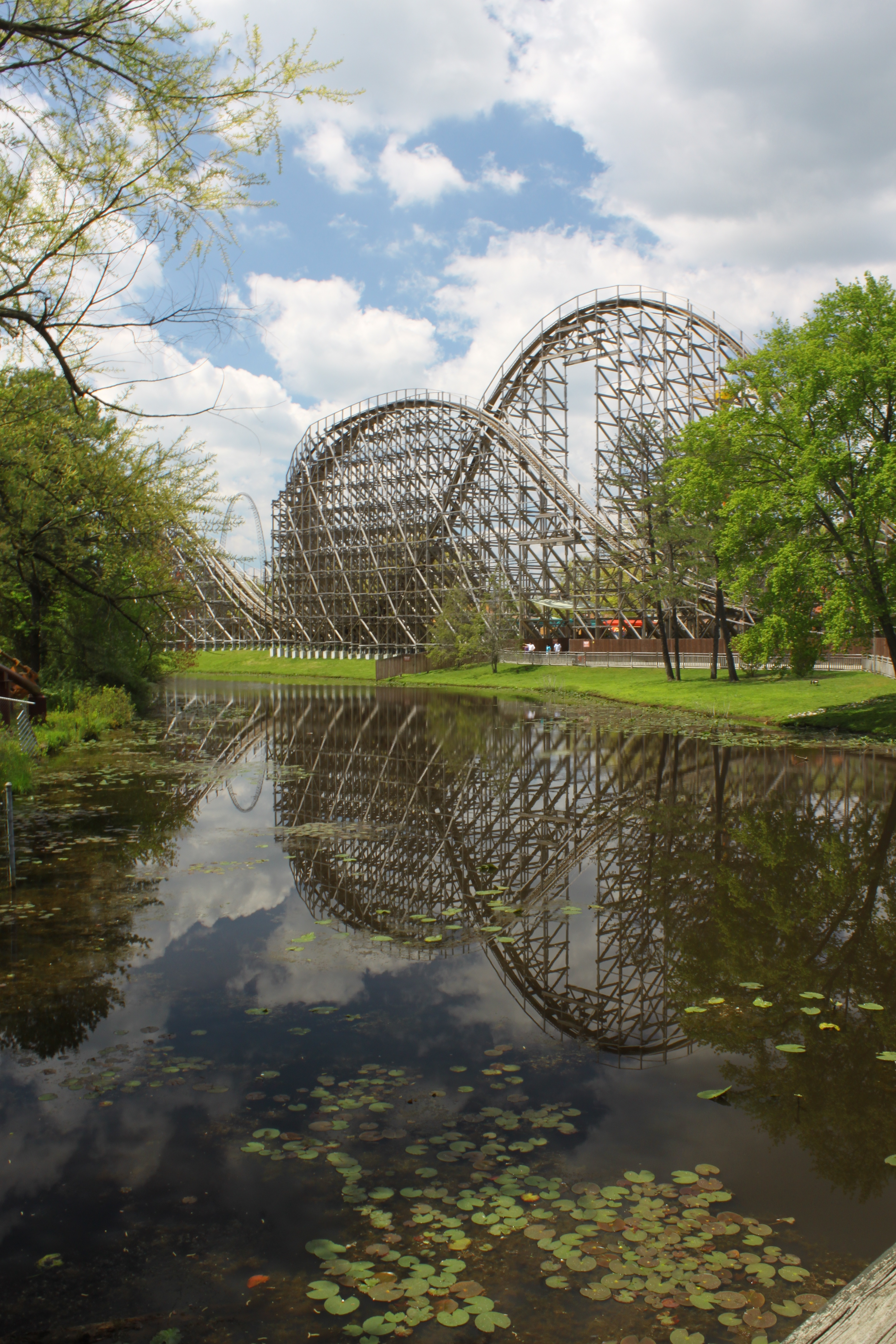
El Toro Reflection
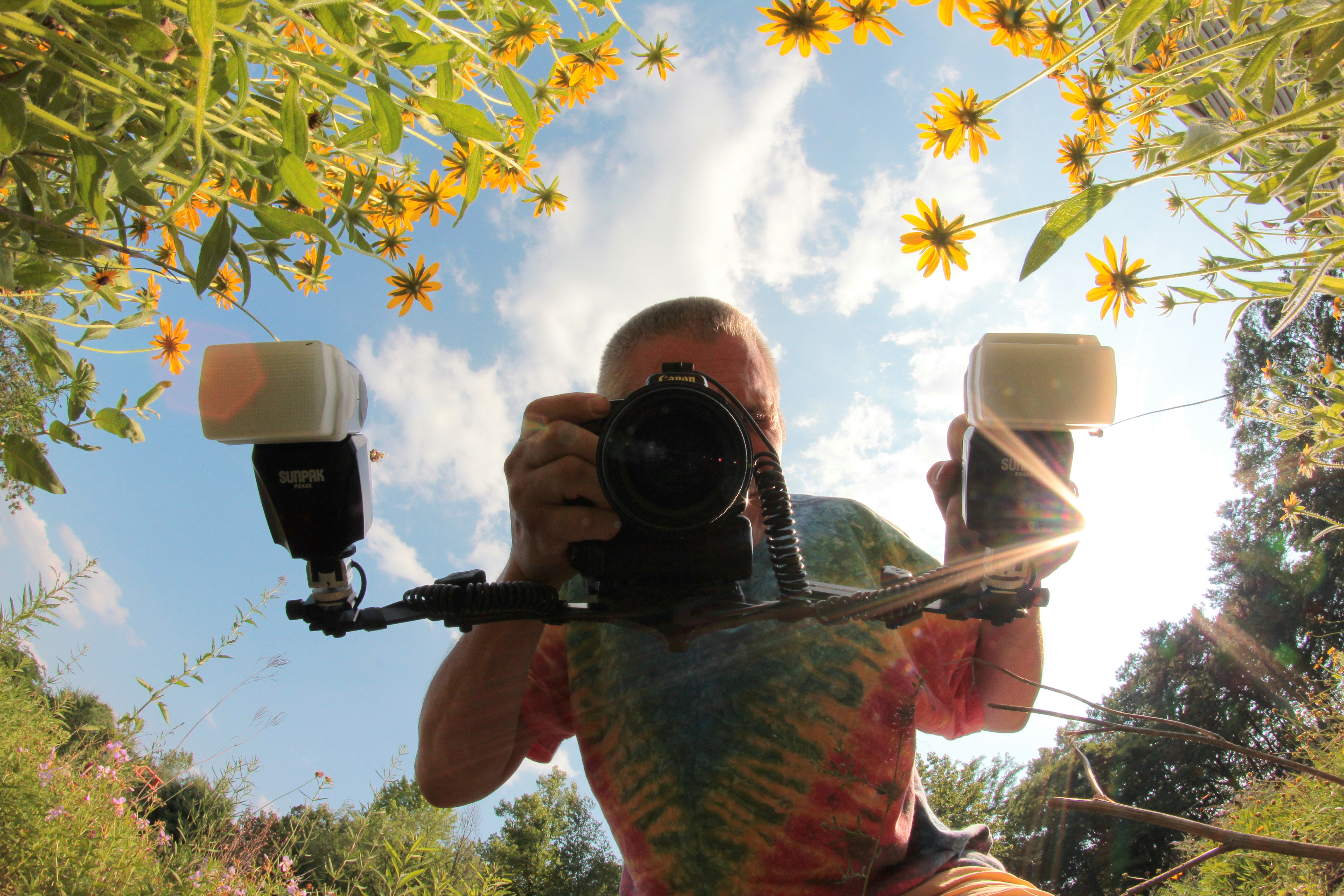
Self Portrait
View from the ski-lift
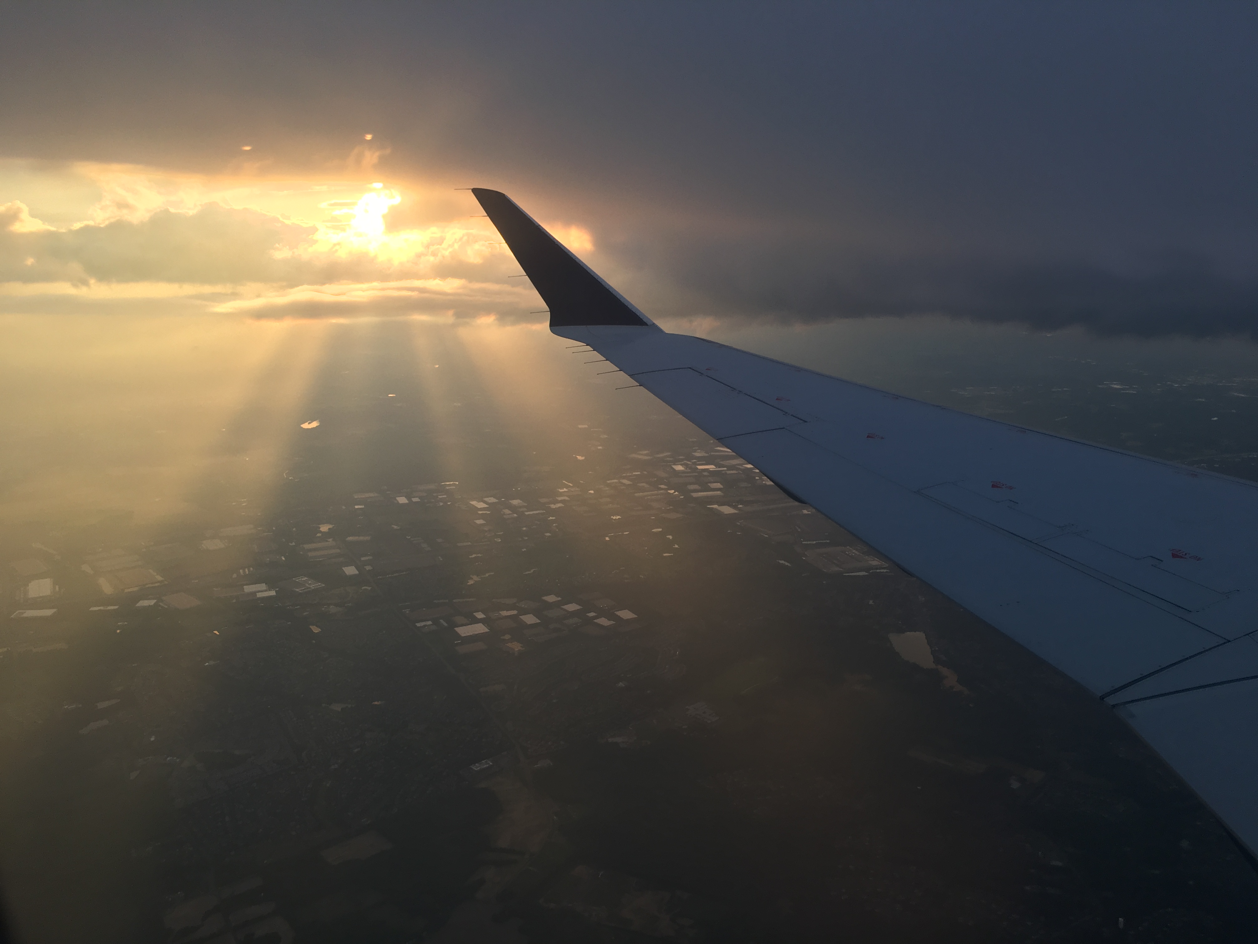
Views from a plane

Northern Lapwing
Creek's Bend

157/365

A Time Gone By 9/52
The Real Molly Pitcher Spring
Views from a plane
A Walk In The Woods
Towards Perrine Hill
Upper view
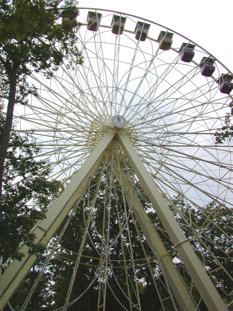
Big Wheel
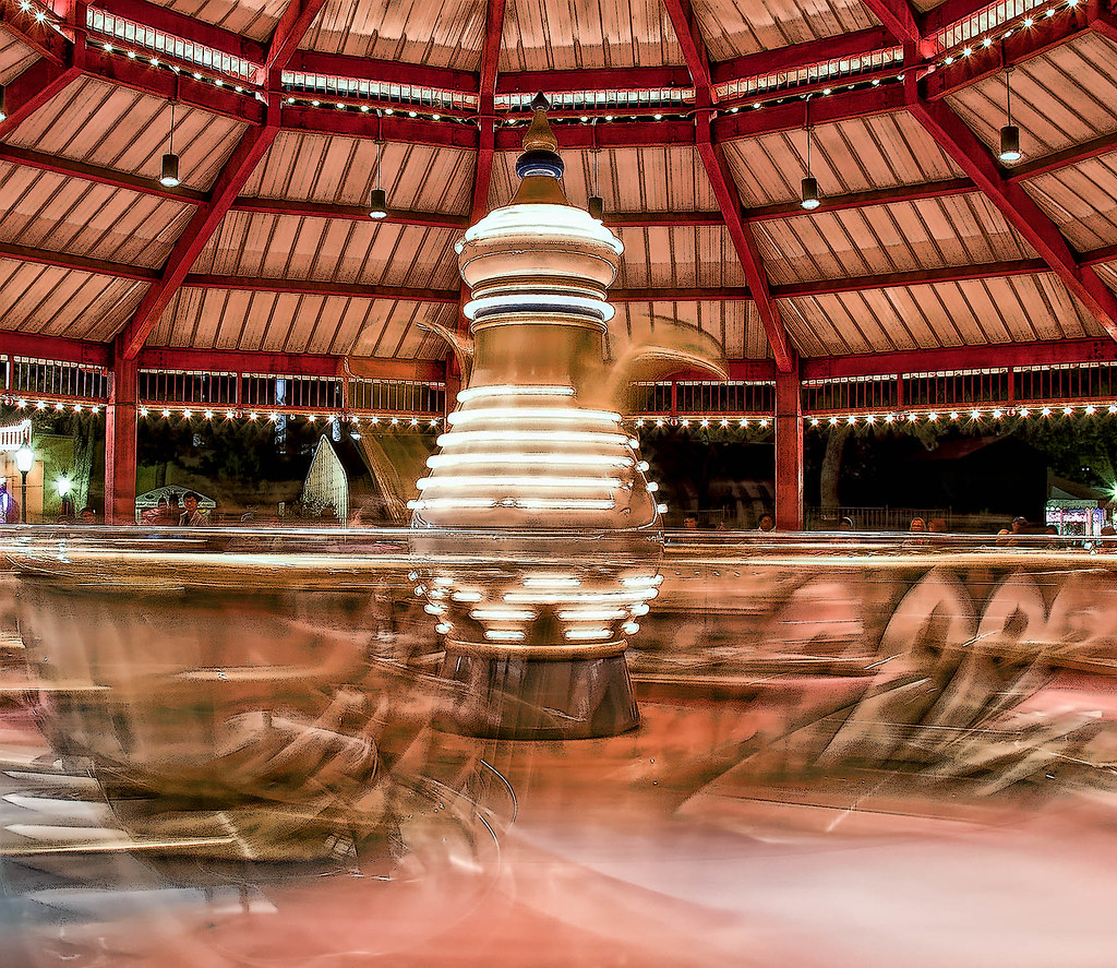
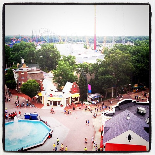
Six Flags T Cups

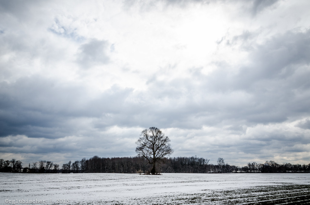
The Lonely Tree - IV
#AmazingSky #WhataWonderfulWorld #NewJerseySkyline
The Lonely Tree - I

The Lonely Tree - II

Lone Tree - VI

Open Field in the Pine Barrens

Laurita Winery
Dirt road
Lone Tree - V
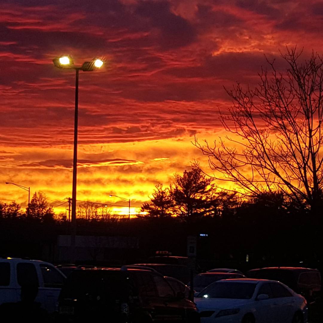
Cranbury Sunset

#onmyrun

Escape into Nothing
Path to the Edge of the World
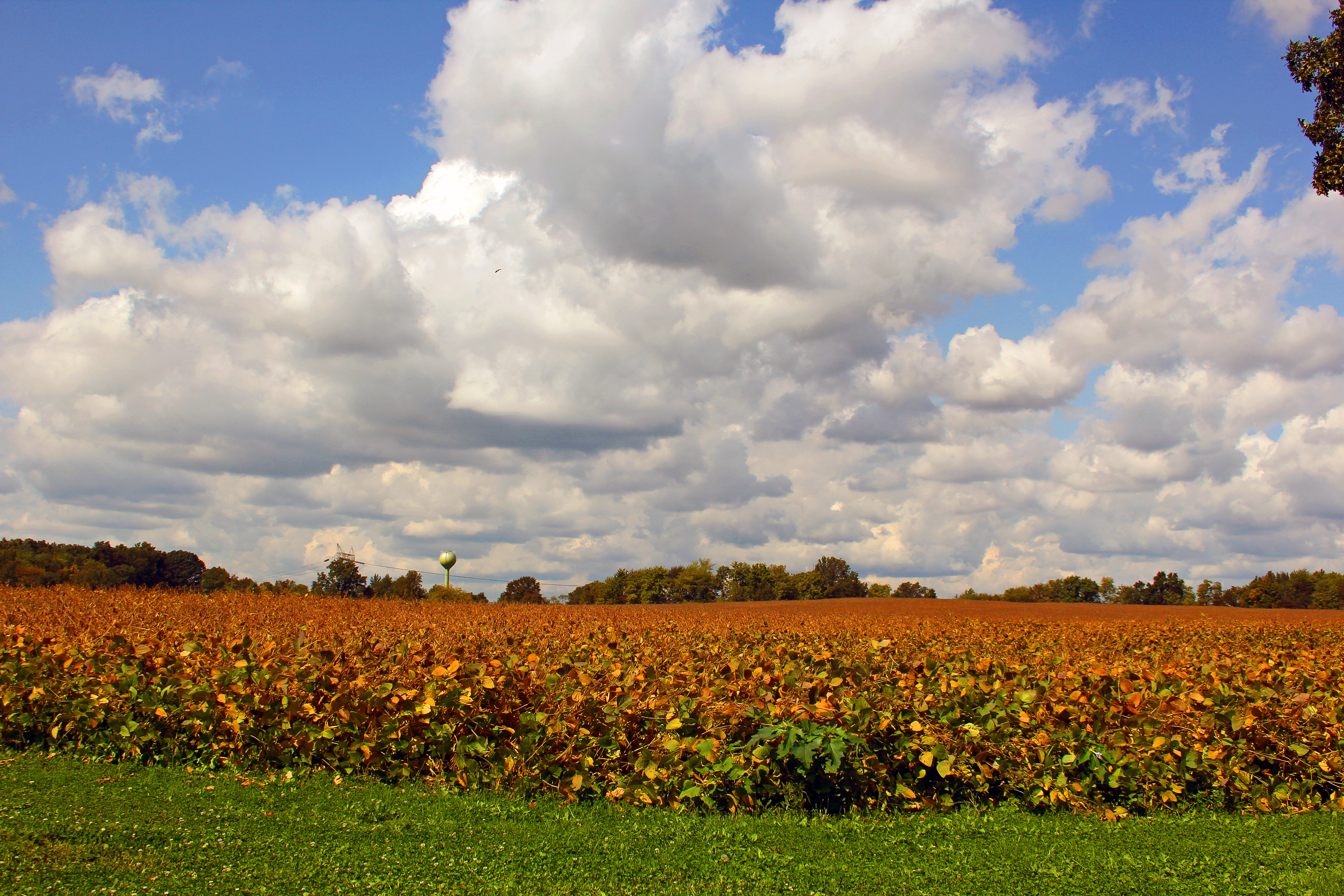
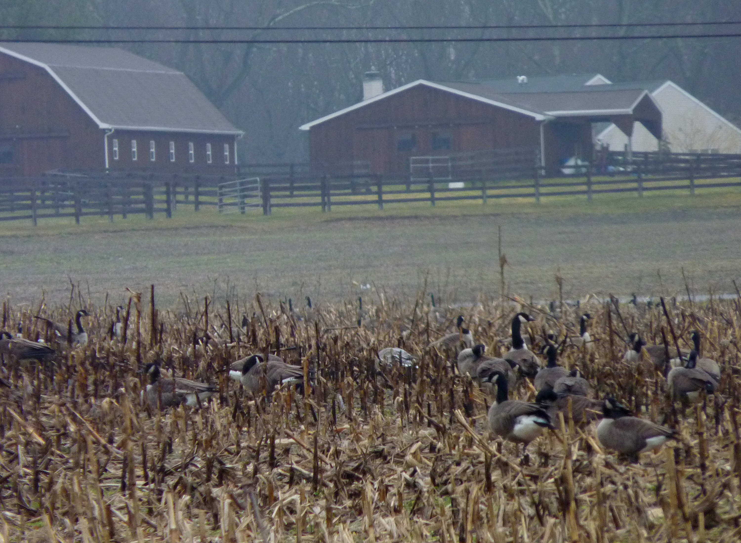
Harvest over
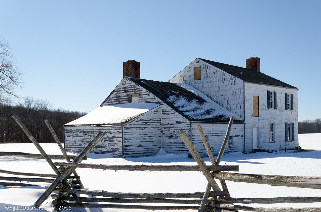
Historic Craig House - V
Rising Sun Lake

Historic Craig House - XVII

The Valley of Unrest
Topographic Map of Stagecoach Rd, Millstone, NJ, USA
Find elevation by address:

Places near Stagecoach Rd, Millstone, NJ, USA:
Clarksburg
349 Millstone Rd
7 Filmore Lane
39 Clarksburg Rd
5 Center Hill Dr
39 Robbins Rd S
12 Beacon Hill
Millstone
8 Stoney Brook Dr
414 Millstone Rd
6 Parker Ct
2 Parker Ct
2 Turtle Clan Ct
12 Ivy Ct
Perrineville
3 Preston Dr
320 Stagecoach Rd
1 Molsbury Ln
Patterson Lane
28 Trenton Lakewood Rd, Clarksburg, NJ, USA
Recent Searches:
- Elevation of Elwyn Dr, Roanoke Rapids, NC, USA
- Elevation of Congressional Dr, Stevensville, MD, USA
- Elevation of Bellview Rd, McLean, VA, USA
- Elevation of Stage Island Rd, Chatham, MA, USA
- Elevation of Shibuya Scramble Crossing, 21 Udagawacho, Shibuya City, Tokyo -, Japan
- Elevation of Jadagoniai, Kaunas District Municipality, Lithuania
- Elevation of Pagonija rock, Kranto 7-oji g. 8"N, Kaunas, Lithuania
- Elevation of Co Rd 87, Jamestown, CO, USA
- Elevation of Tenjo, Cundinamarca, Colombia
- Elevation of Côte-des-Neiges, Montreal, QC H4A 3J6, Canada