Elevation of Stafford Springs, Stafford, CT, USA
Location: United States > Connecticut > Tolland County > Stafford >
Longitude: -72.302302
Latitude: 41.9542632
Elevation: 149m / 489feet
Barometric Pressure: 100KPa
Elevation Map:
Satellite Map:
Related Photos:
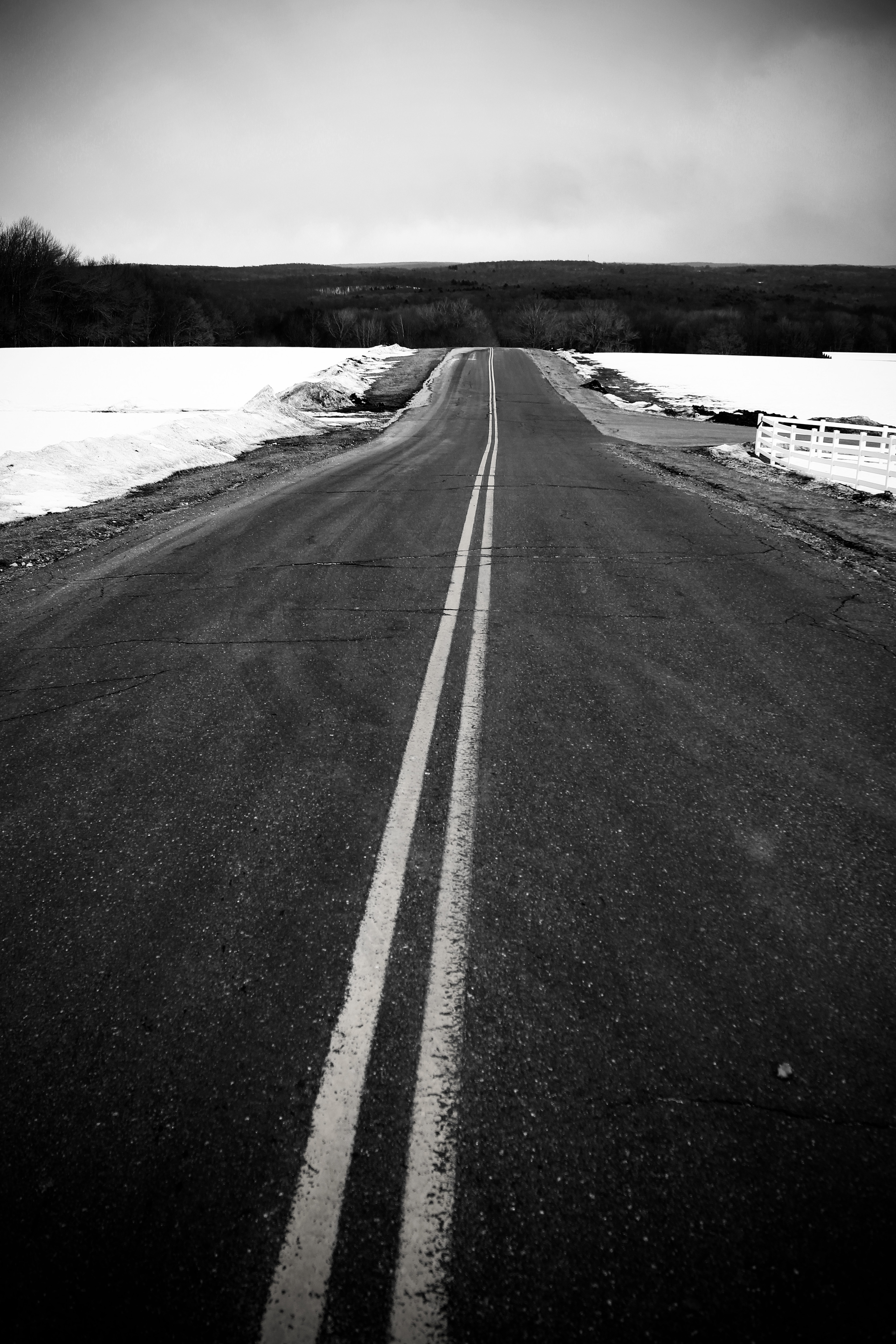
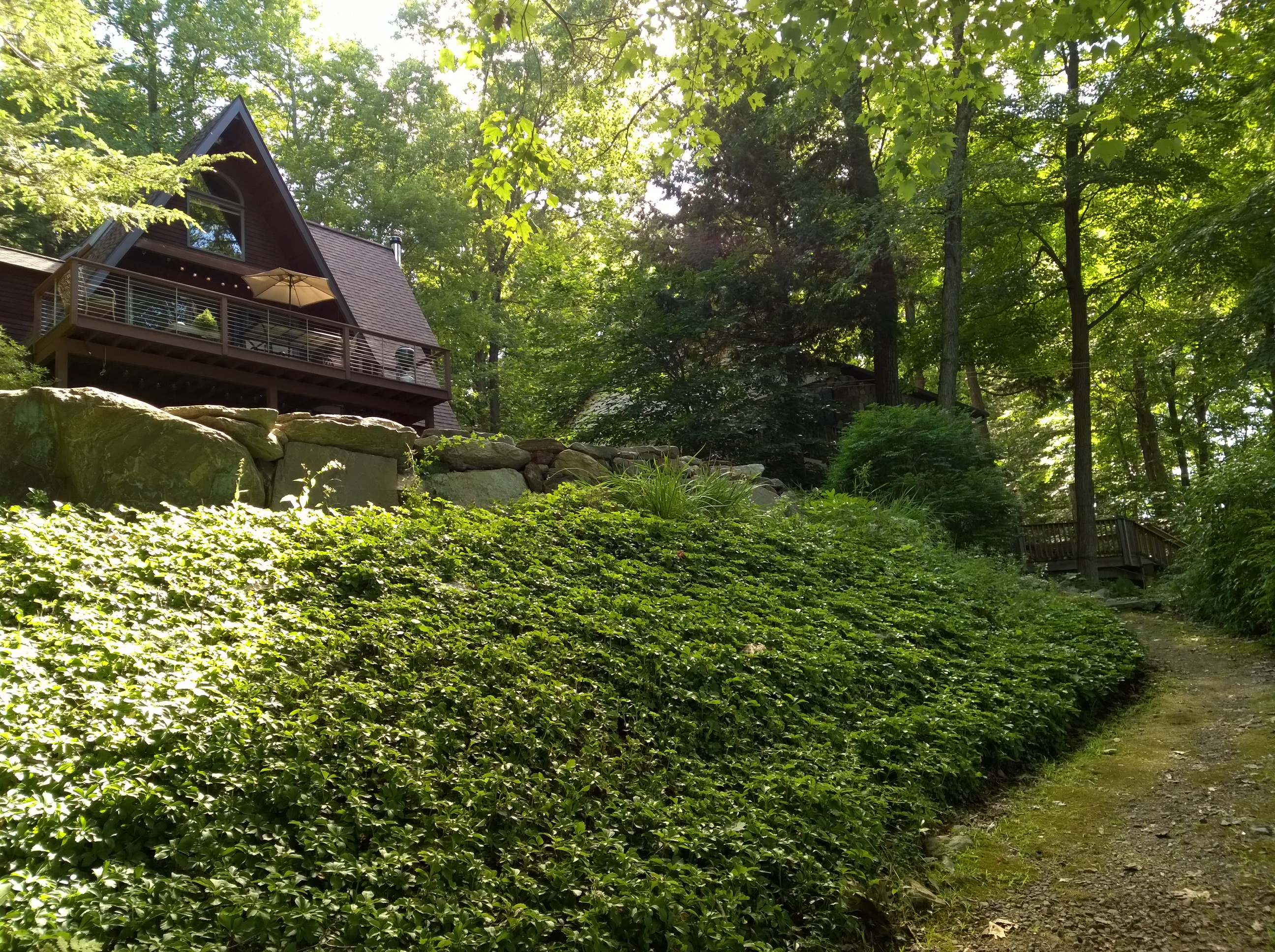
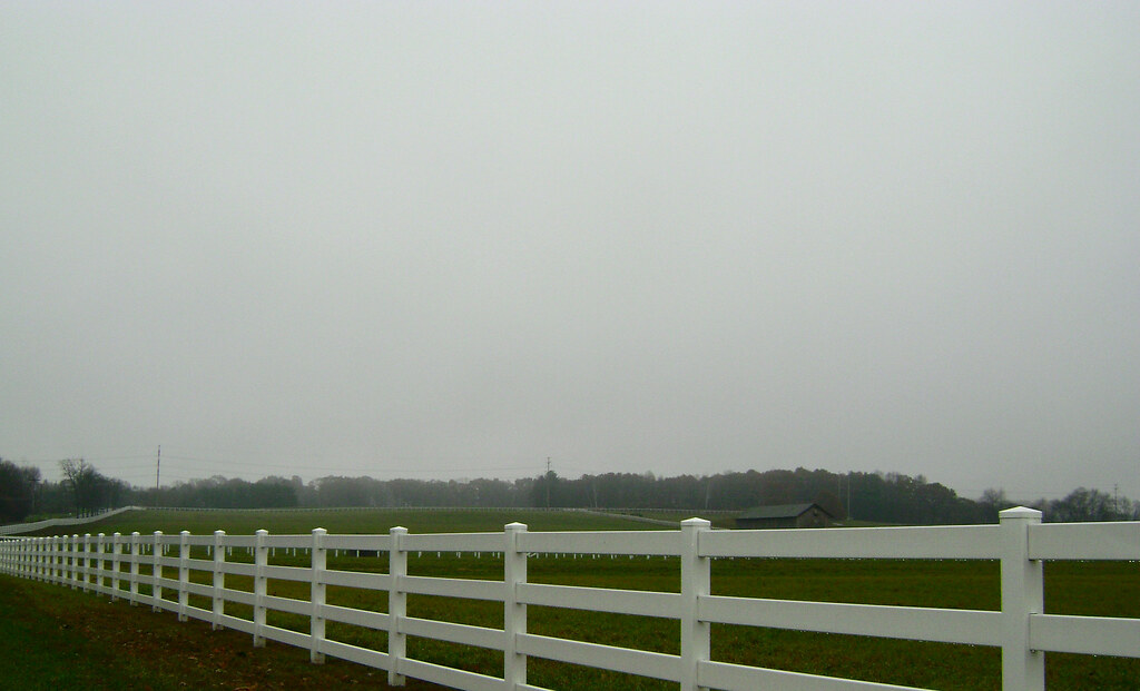
61/365 3-2-11 Horse Barn Hill

When I was young
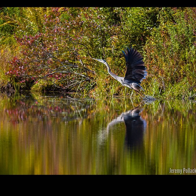
Great Blue #Heron often take a quick stopover in the tiny pond in my yard or the larger one at the end of the road. I envy their view of the changing leaves from above! || #bird #animal #blueheron #capture #moment #beautiful
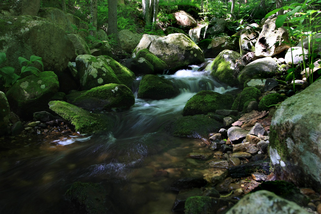
Can you hear it babble?
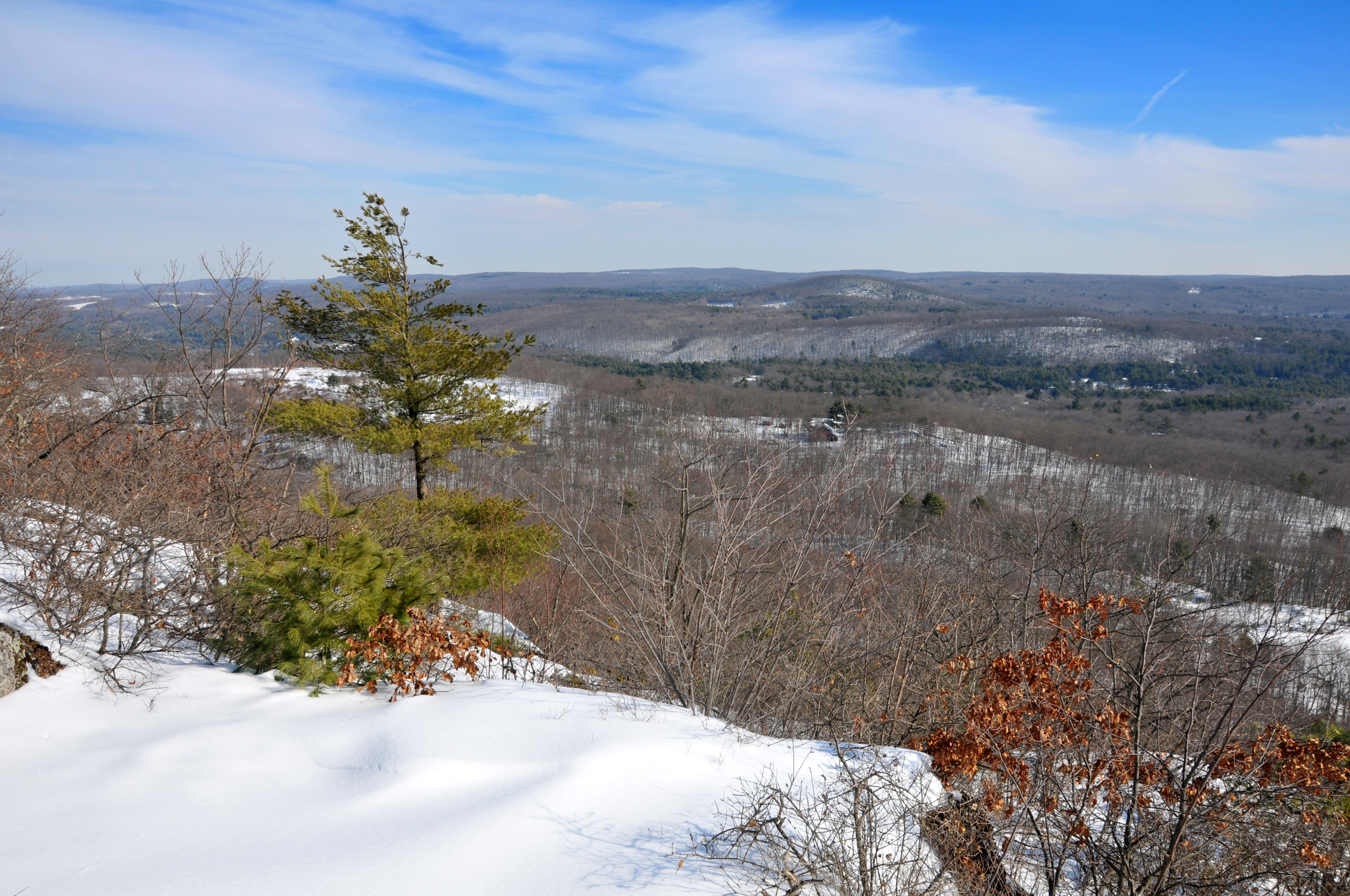
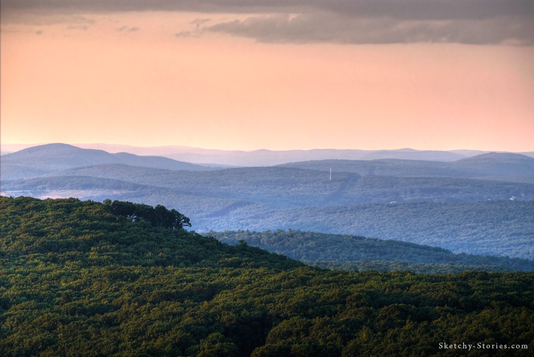
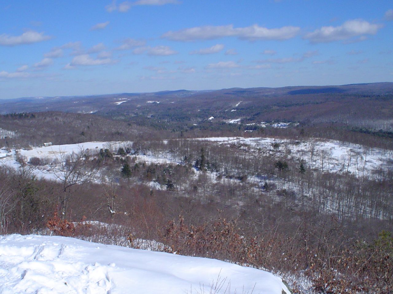
View from Peaked Mountain

CT Northern Lapwing Success!!! Two Happy Birders, Horsebarn Hill Road, and the Hill.
081507_08451.jpg
Pretty in Pink
View from Soapstone Mountain Fire Tower

Willington Pizza plates
Rear view sunset
WP_20140824_10_51_10_Raw.jpg
I am Here
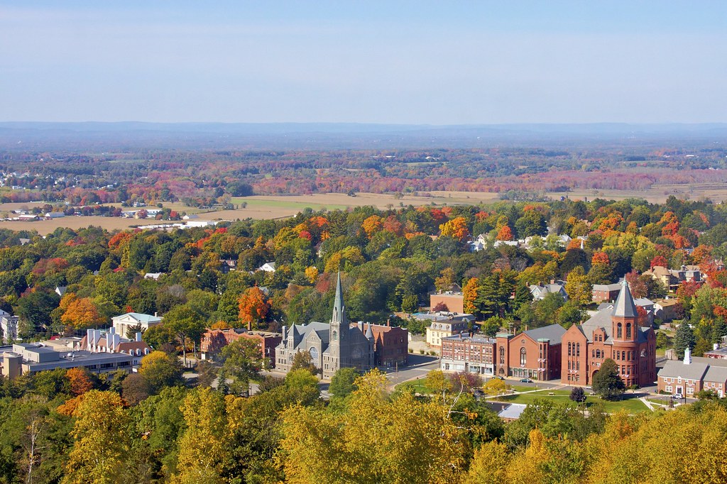
Downtown Rockville Autumn
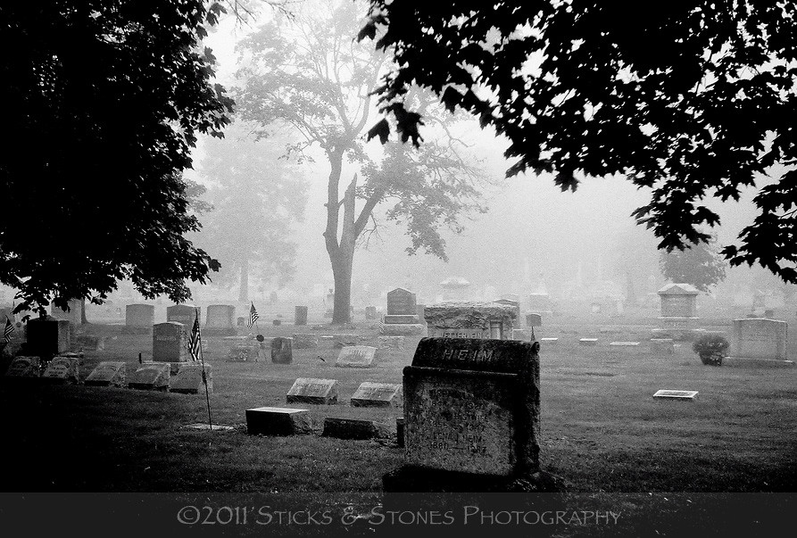
grove-hill-cemetery-in-fog
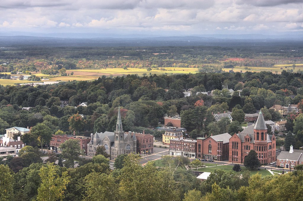
Downtown Rockville
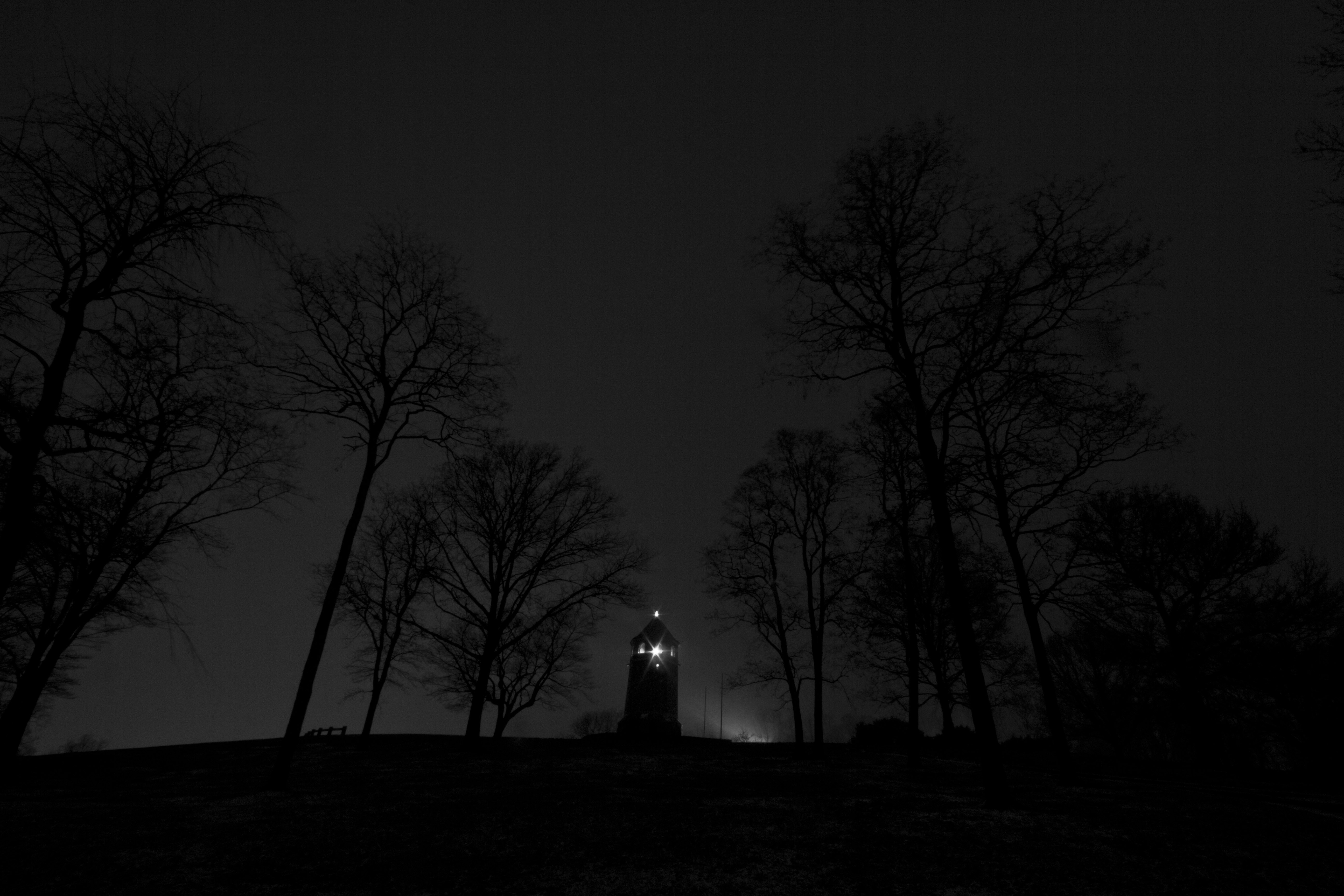
Dark Tower
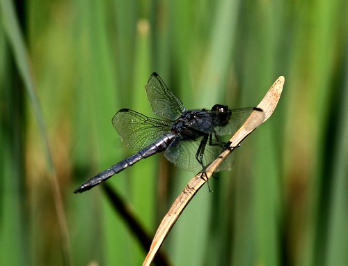
Bug with Bokeh
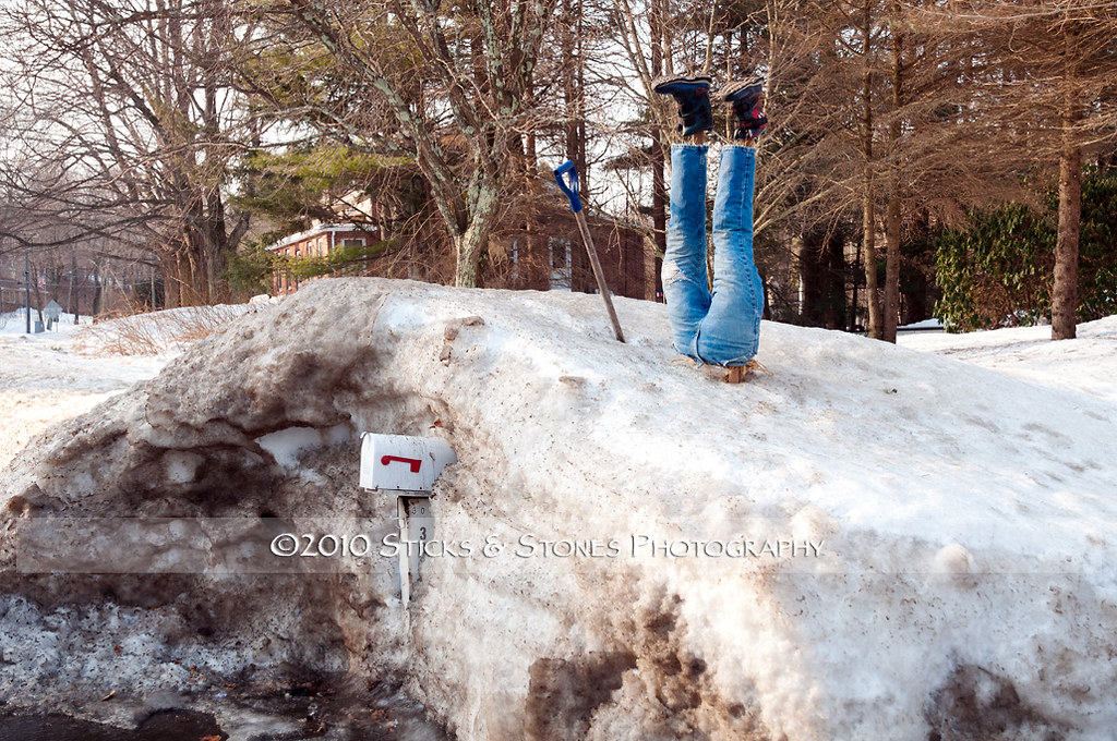
snow-diving-3073
Monson - View From Peaked Mountain
on and on

Giant Nature
DSC_7158 (2)
_DSC0439-3

_DSC0431-2
landfill-04-2007_24
_DSC0446-2 Stitch-3
landfill-12-2006_05

CSC_7297 (5)

CSC_7312 (2)
landfill-12-2006_07

Part of the lot for WBM
DSC_6820 (2)
landfill-10-2006_20
DSC_7137 (2)
_DSC0424 Stitch-2

It’s a good morning
Topographic Map of Stafford Springs, Stafford, CT, USA
Find elevation by address:

Places in Stafford Springs, Stafford, CT, USA:
Places near Stafford Springs, Stafford, CT, USA:
East Main Street
Isabella Circle
92 Furnace Ave
44 Tolland Ave Apt 30
4 Valery Rd
20 Goodell Rd
76 W Stafford Rd
207b East St
Stafford
29 Sunset Ridge Rd
196 Buckley Hwy
110 Old Monson Rd
110 Old Monson Rd
4 Pinecrest Rd
386 East St
118 Sandy Beach Rd
29 Ladd Rd
228 Ruby Rd
63 Hampden Rd
River Road
Recent Searches:
- Elevation of 6 Rue Jules Ferry, Beausoleil, France
- Elevation of Sattva Horizon, 4JC6+G9P, Vinayak Nagar, Kattigenahalli, Bengaluru, Karnataka, India
- Elevation of Great Brook Sports, Gold Star Hwy, Groton, CT, USA
- Elevation of 10 Mountain Laurels Dr, Nashua, NH, USA
- Elevation of 16 Gilboa Ln, Nashua, NH, USA
- Elevation of Laurel Rd, Townsend, TN, USA
- Elevation of 3 Nestling Wood Dr, Long Valley, NJ, USA
- Elevation of Ilungu, Tanzania
- Elevation of Yellow Springs Road, Yellow Springs Rd, Chester Springs, PA, USA
- Elevation of Rēzekne Municipality, Latvia