Elevation of St Mary Ct, Abita Springs, LA, USA
Location: United States > Louisiana > St. Tammany Parish > > Abita Springs >
Longitude: -89.952966
Latitude: 30.5491039
Elevation: 29m / 95feet
Barometric Pressure: 101KPa
Elevation Map:
Satellite Map:
Related Photos:

View from living holy water font
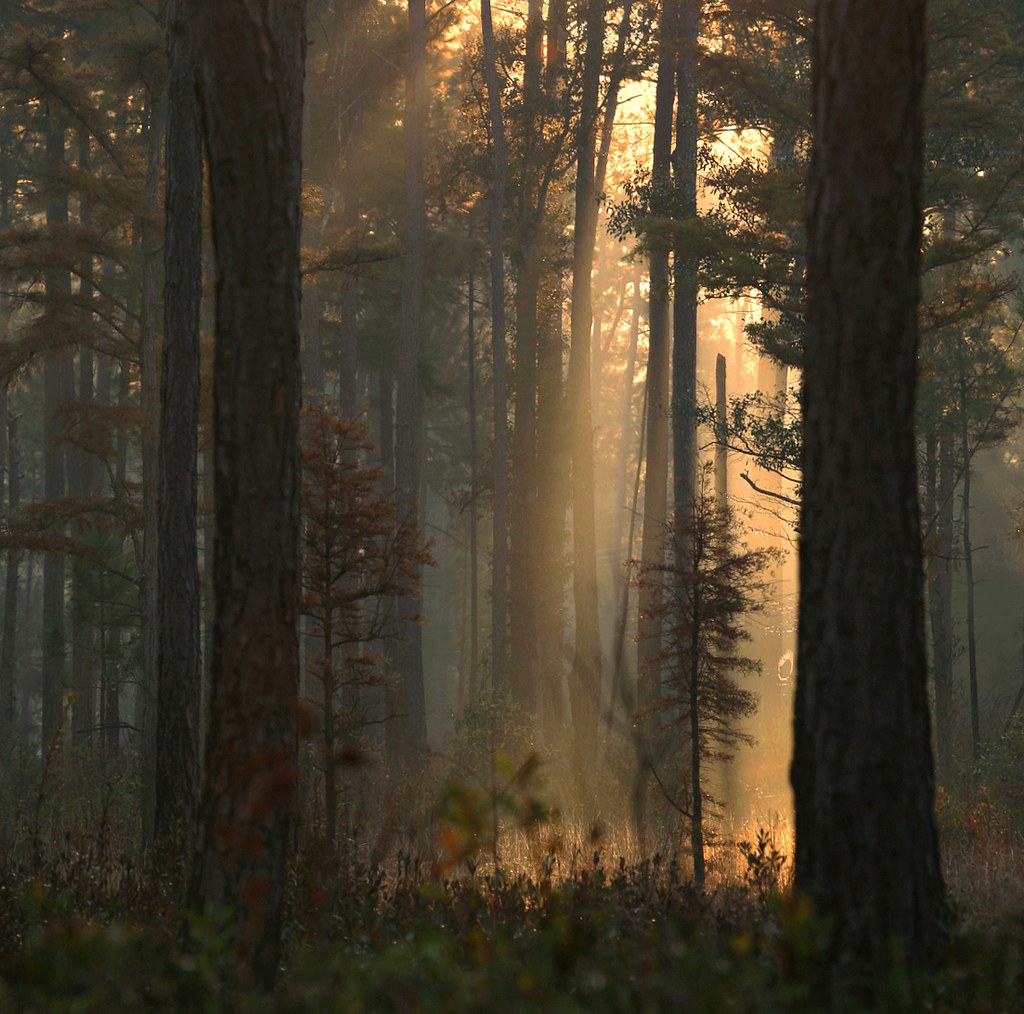
Light in the Woods 3

The Road Home

Foggy Morning With Birds

First Light

Flooded Creek

Foggy Pine Savanna 2

Misty Morning Forest

Light at the Flatwoods

Misty Morning Forest 3

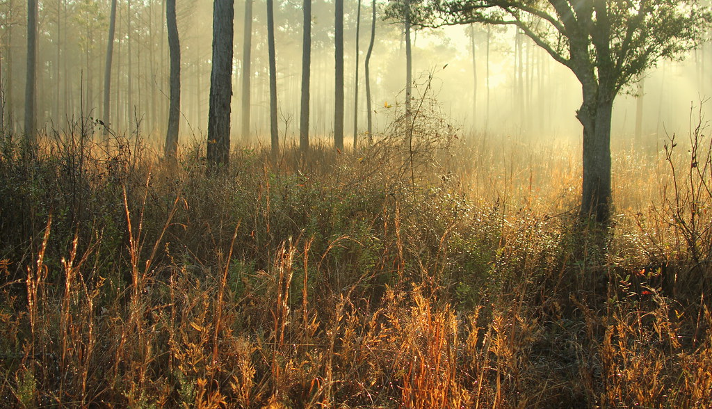
Foggy Pine Savanna

Forest at Dawn

Morning Forest
Forest Sunrise
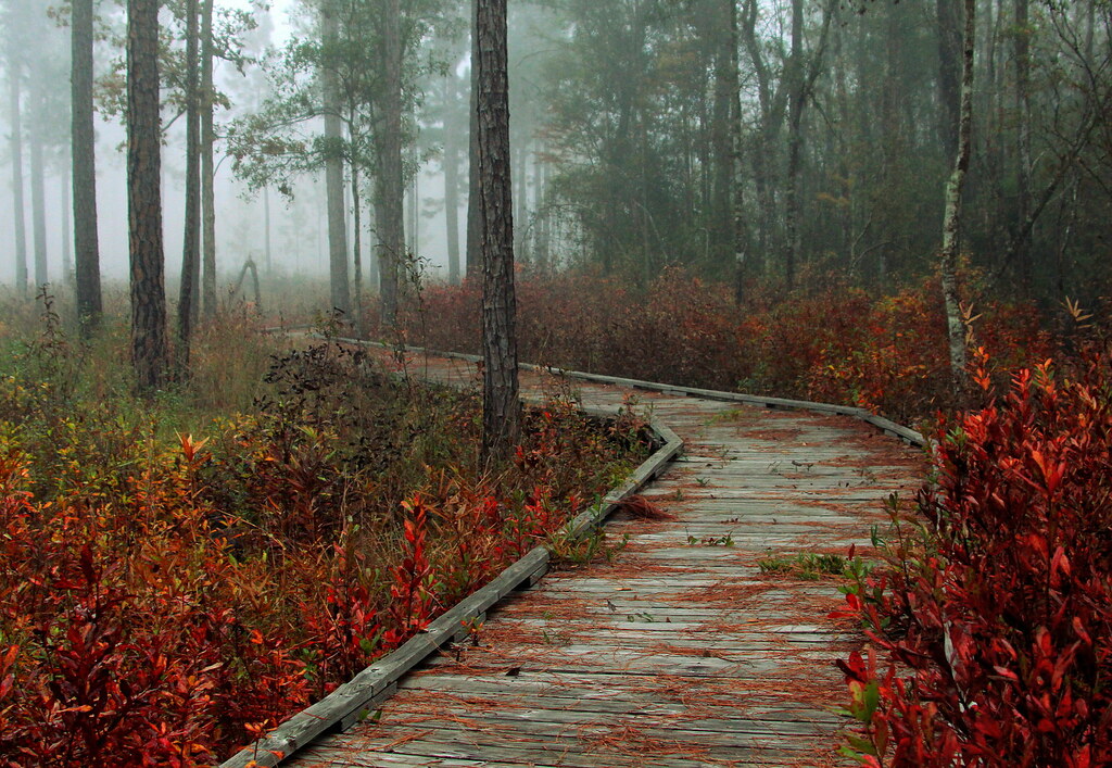
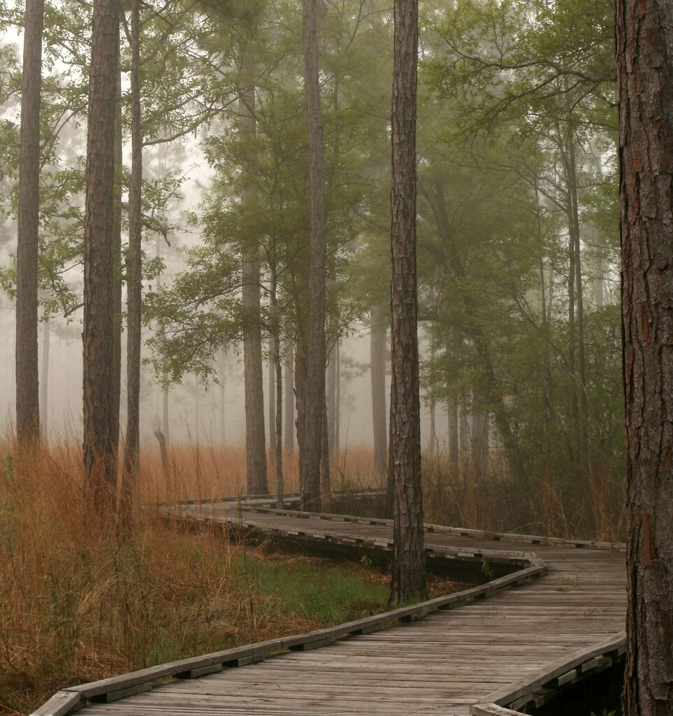
Foggy Autumn Boardwalk

Flooded Road

Fairy Light 10

Fairy Light

Fairy Light 5

Winter Forest

Misty Pine Savanna
Foggy Savanna

Morning Savana 2

Hazy Morning Forest
Topographic Map of St Mary Ct, Abita Springs, LA, USA
Find elevation by address:

Places near St Mary Ct, Abita Springs, LA, USA:
225 Orchard Row
100 Omaha Ct
Shubert Lane
73272 Peg Keller Rd
Simeon Parker Rd, Bush, LA, USA
6, LA, USA
St. Tammany Parish
Pedro Bennett Rd, Lacombe, LA, USA
52 Parkside Dr, Picayune, MS, USA
448 Walkiah Bluff Rd
Walkiah Bluff Water Park
Walkiah Bluff Road
65 Lake View Rd
101 Walkiah Bluff Rd
2952 Burnt Bridge Rd
37447 Earl Bennett Rd
123 Huppo Rd
38 Koch Rd
52 Falcon Dr
146 Westchester Dr
Recent Searches:
- Elevation of Leguwa, Nepal
- Elevation of County Rd, Enterprise, AL, USA
- Elevation of Kolchuginsky District, Vladimir Oblast, Russia
- Elevation of Shustino, Vladimir Oblast, Russia
- Elevation of Lampiasi St, Sarasota, FL, USA
- Elevation of Elwyn Dr, Roanoke Rapids, NC, USA
- Elevation of Congressional Dr, Stevensville, MD, USA
- Elevation of Bellview Rd, McLean, VA, USA
- Elevation of Stage Island Rd, Chatham, MA, USA
- Elevation of Shibuya Scramble Crossing, 21 Udagawacho, Shibuya City, Tokyo -, Japan