Elevation of St-Eugène, ON K0B, Canada
Location: Canada > Ontario > Prescott And Russell United Counties > East Hawkesbury >
Longitude: -74.466779
Latitude: 45.4996514
Elevation: 53m / 174feet
Barometric Pressure: 101KPa
Elevation Map:
Satellite Map:
Related Photos:
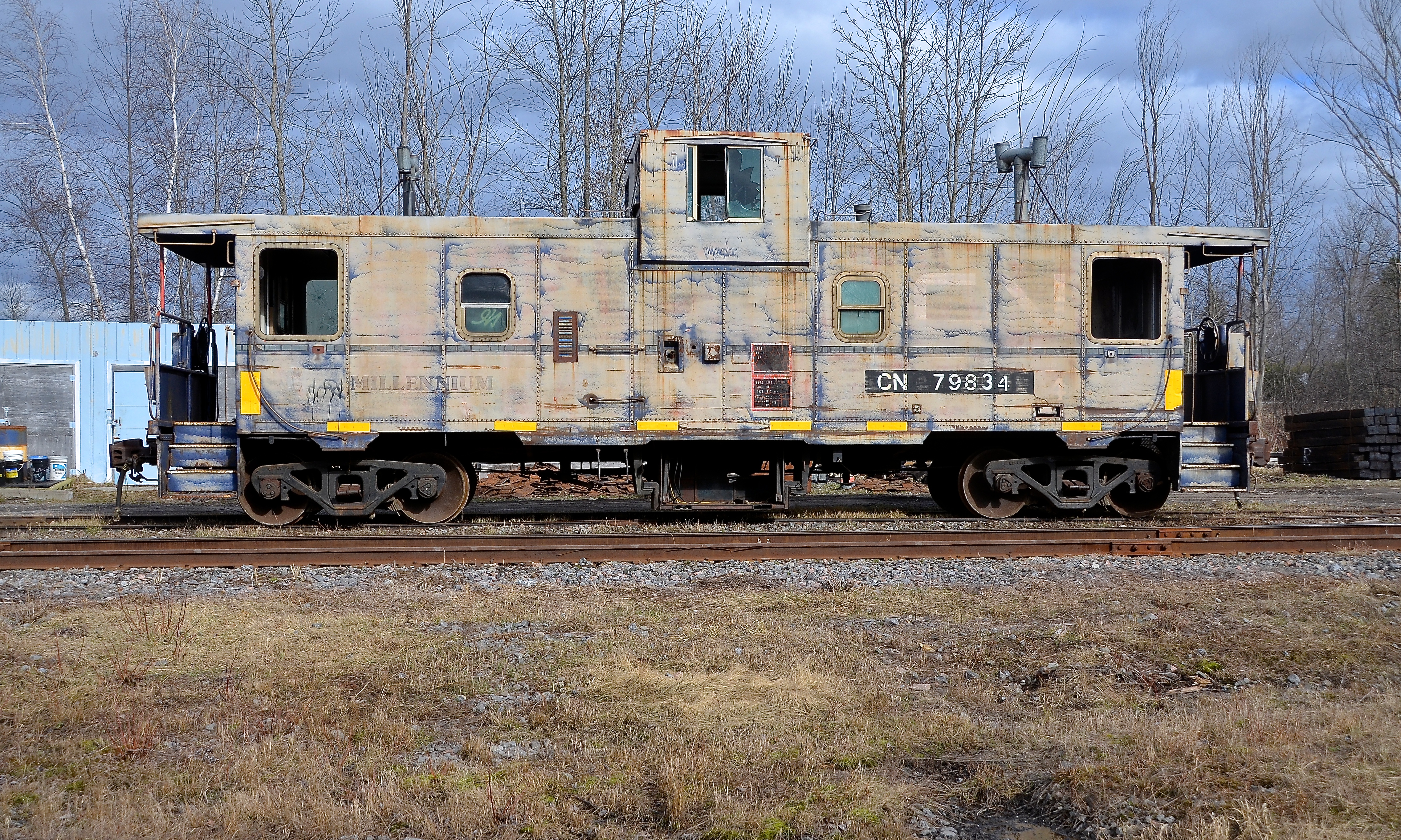
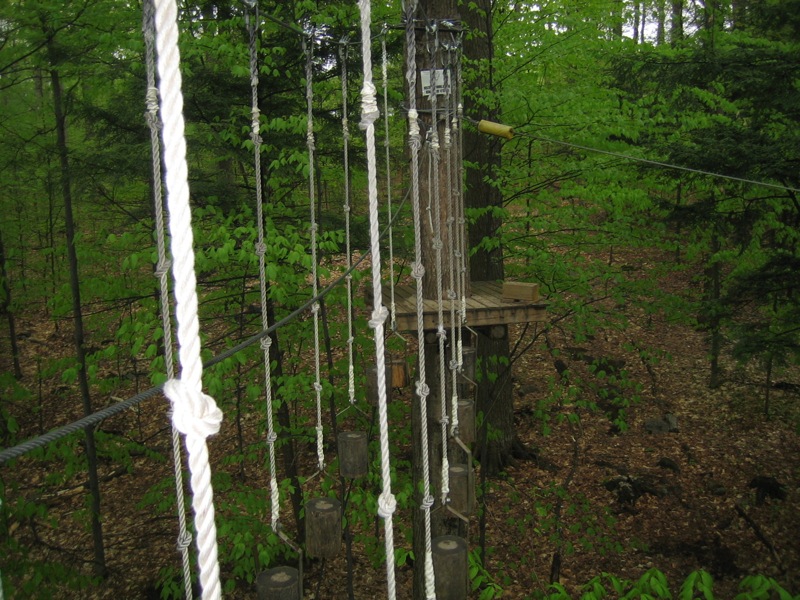
Broadside view
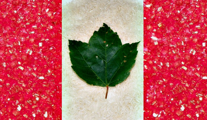
canada flag

the world as a bubble
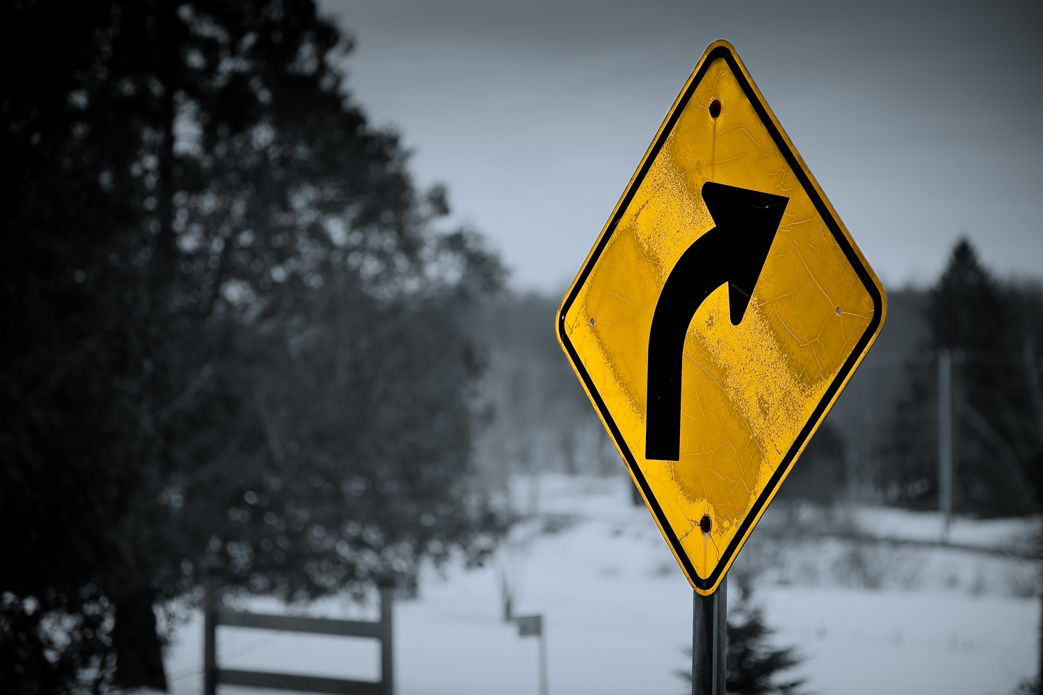
Curve ahead

bubble trouble

pl29juil11christchurch2 copy
pl29juil11standrew2 copy

Around Our Site

pl29juil11stjoseph1 copy
DSC_1814.JPG
Clouds, Skies, Sunsets.
Clouds, Skies, Sunsets.

Blue hour, maple sugar edition | 48/215

#vscocam #camping

into the storm #clouds #????

#VSCOcam

The end of the road || 214/365

Dernière coupe

#VSCOcam

#VSCOcam

Moment présent
Wayward Sky #selfportrait #gorillapod

Chemin de la sucrerie, chemin Deer Hill, Rigaud

Icône du paysage québécois :: Quebec Landscape Icon

Au travers

Lonely Tree
IMG_3293.JPG
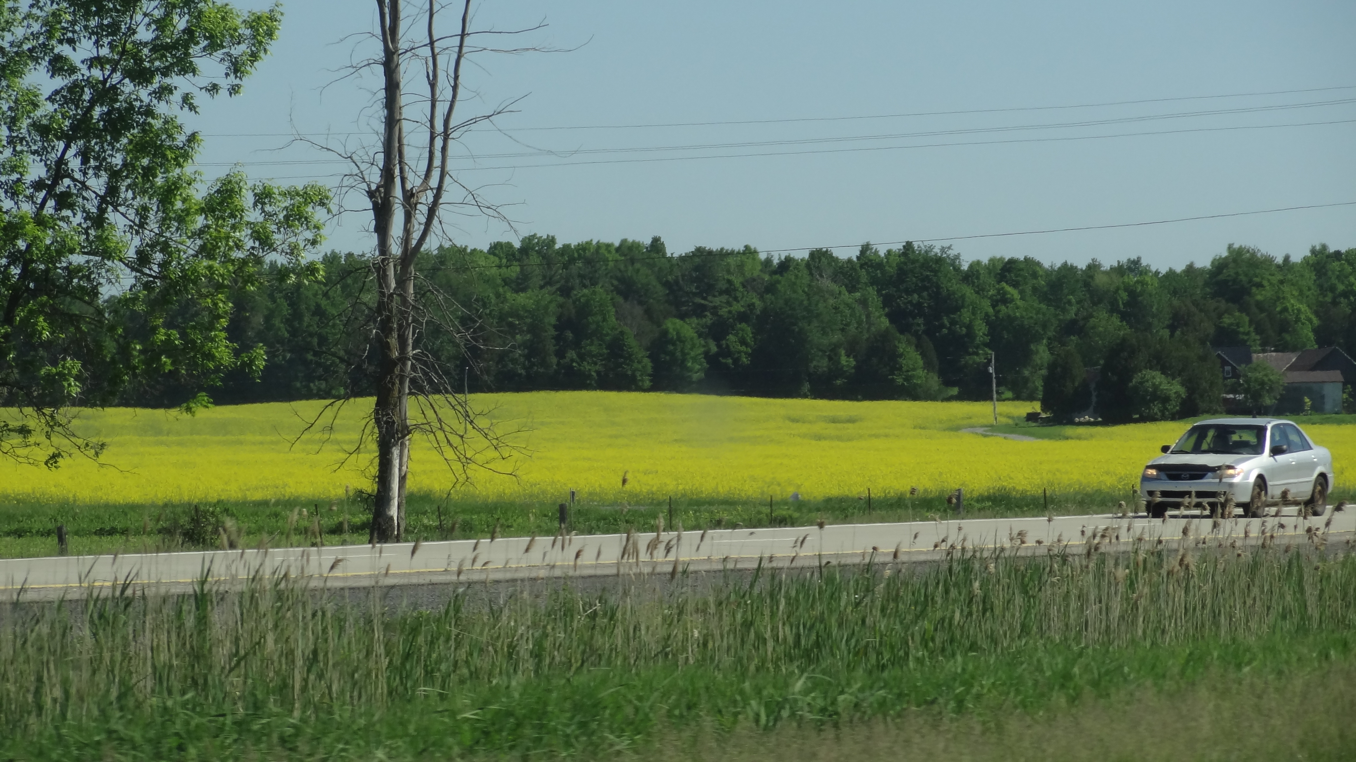
Canola Field before arriving in Quebec

Sucrerie de la Montagne
IMG_3300.JPG
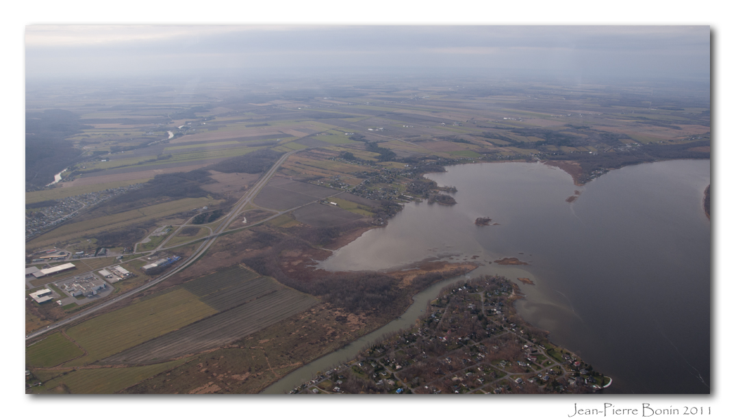
Lac des Deux-Montagnes, Rigaud, Rivière Rigaud, Bais des Jules, Baie de Rigaud, Île Rita
IMG_3297.JPG
In The Field
Topographic Map of St-Eugène, ON K0B, Canada
Find elevation by address:

Places in St-Eugène, ON K0B, Canada:
Places near St-Eugène, ON K0B, Canada:
Labrosse St, St-Eugène, ON K0B 1P0, Canada
East Hawkesbury
345 Chemin Du Coteau
Ski Mont Rigaud
25 Rue Rollande
Glen Robertson
459 Chemin De La Croisée
29 Rue Joly
229 Rue Létourneau
233 Rue Létourneau
30 Rue Jean Brion
243 Rue Létourneau
Rigaud
423 Rue Létourneau
7 Rue Saint Jean Baptiste E, Rigaud, QC J0P 1P0, Canada
226 Chemin Du Grand Quai
Rigaud
88 Chemin De La Sucrerie
188 Rue De La Prucheraie
214 Chemin Cabot
Recent Searches:
- Elevation of 12 Hutchinson Woods Dr, Fletcher, NC, USA
- Elevation of Holloway Ave, San Francisco, CA, USA
- Elevation of Norfolk, NY, USA
- Elevation of - San Marcos Pass Rd, Santa Barbara, CA, USA
- Elevation of th Pl SE, Issaquah, WA, USA
- Elevation of 82- D Rd, Captain Cook, HI, USA
- Elevation of Harlow CM20 2PR, UK
- Elevation of Shenyang Agricultural University, Dong Ling Lu, Shen He Qu, Shen Yang Shi, Liao Ning Sheng, China
- Elevation of Alpha Dr, Melbourne, FL, USA
- Elevation of Hiroshima University, 1-chōme-3-2 Kagamiyama, Higashihiroshima, Hiroshima -, Japan