Elevation of St E, Aldersyde, AB T0L 0A0, Canada
Location: Canada > Alberta > Division No. 6 > Foothills No. 31 > Aldersyde >
Longitude: -113.76879
Latitude: 50.646295
Elevation: 1023m / 3356feet
Barometric Pressure: 90KPa
Elevation Map:
Satellite Map:
Related Photos:

View of mountains

View of mountains from Okotoks
Summer Noir

Good morning February 3rd. This is our view from the office.
Ridge View #2
View from Saskatoon Farm, DeWinton, Alberta

Afternoon walk
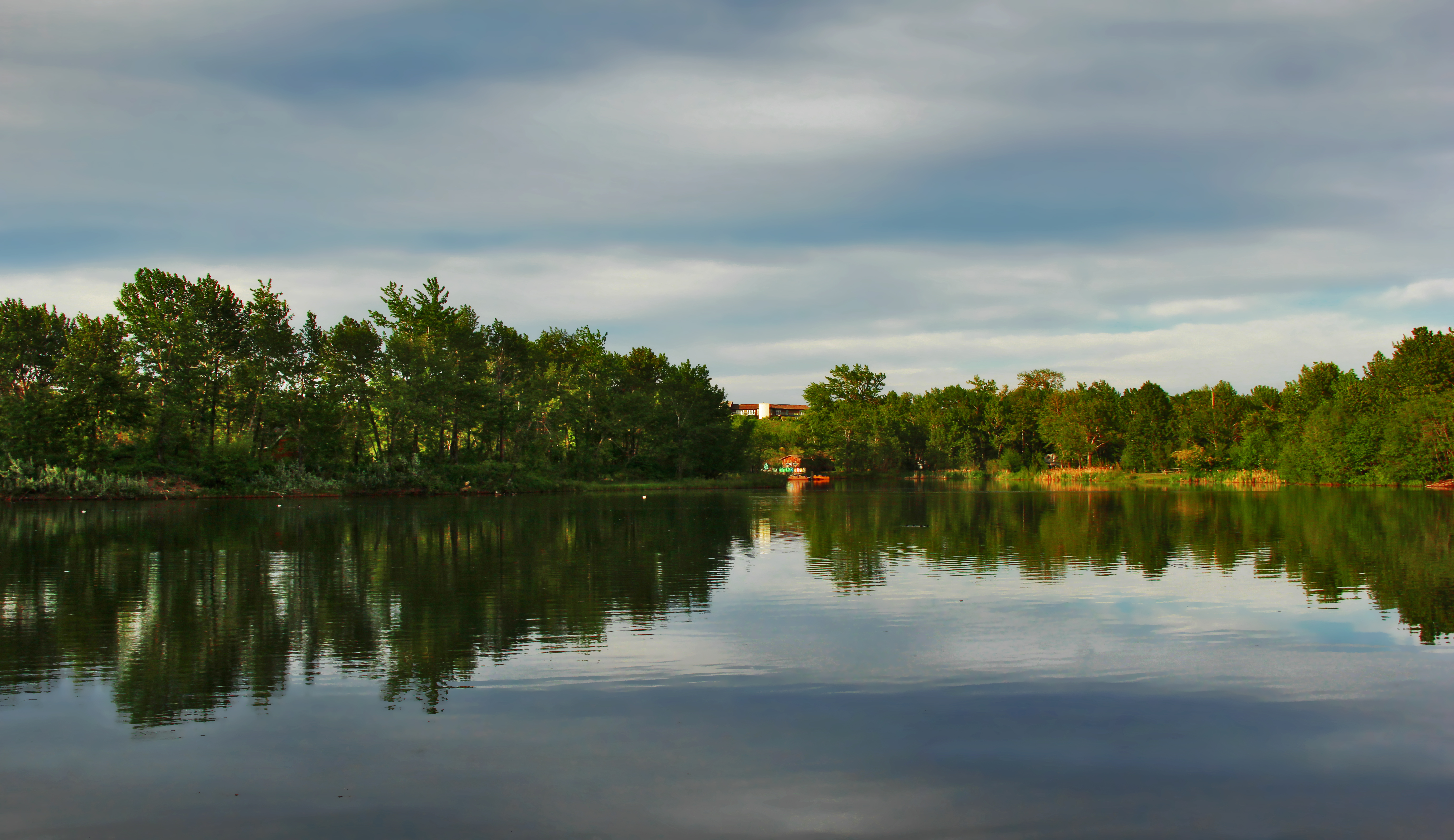
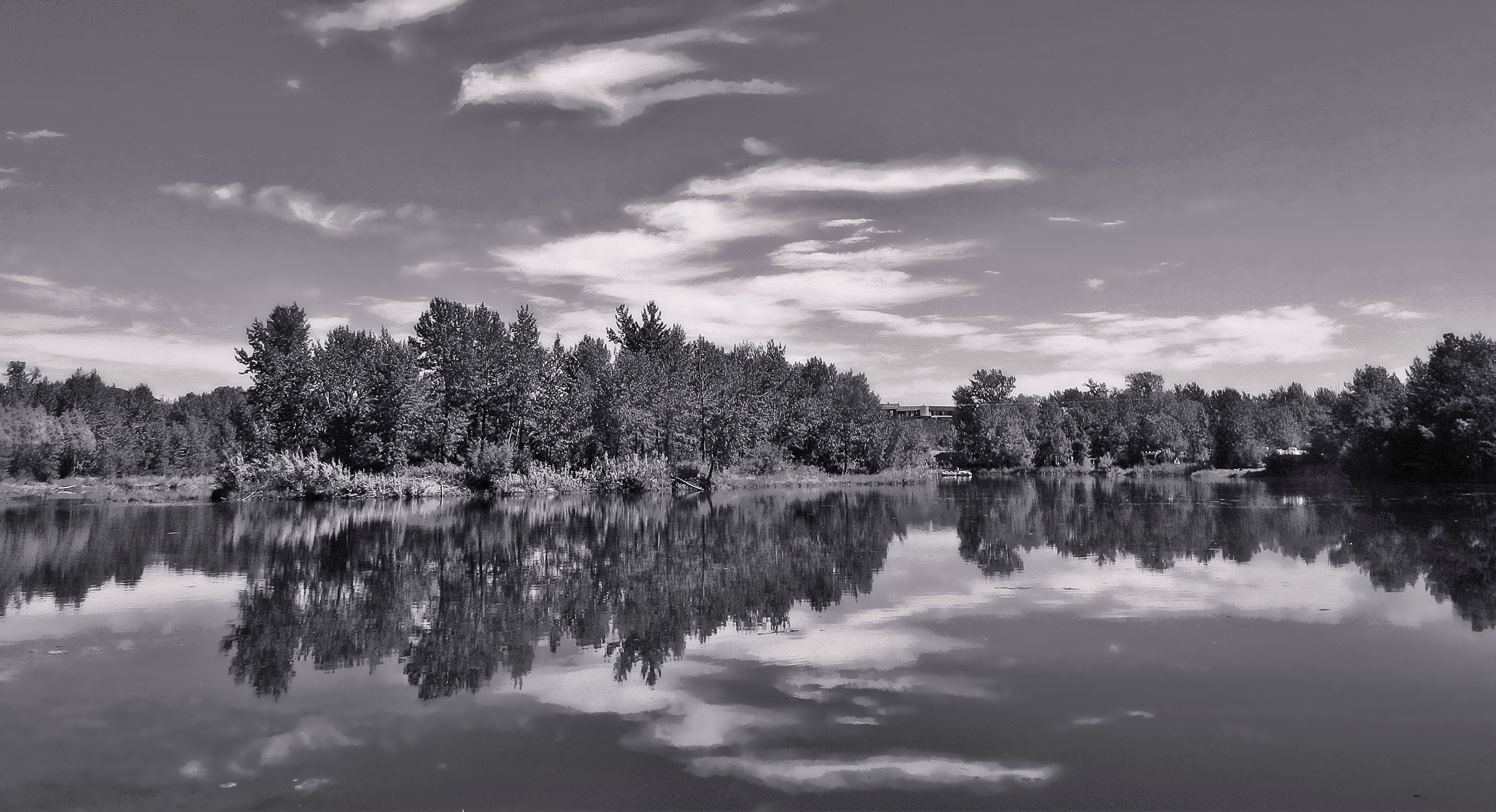
Reflecting On A Summer Evening
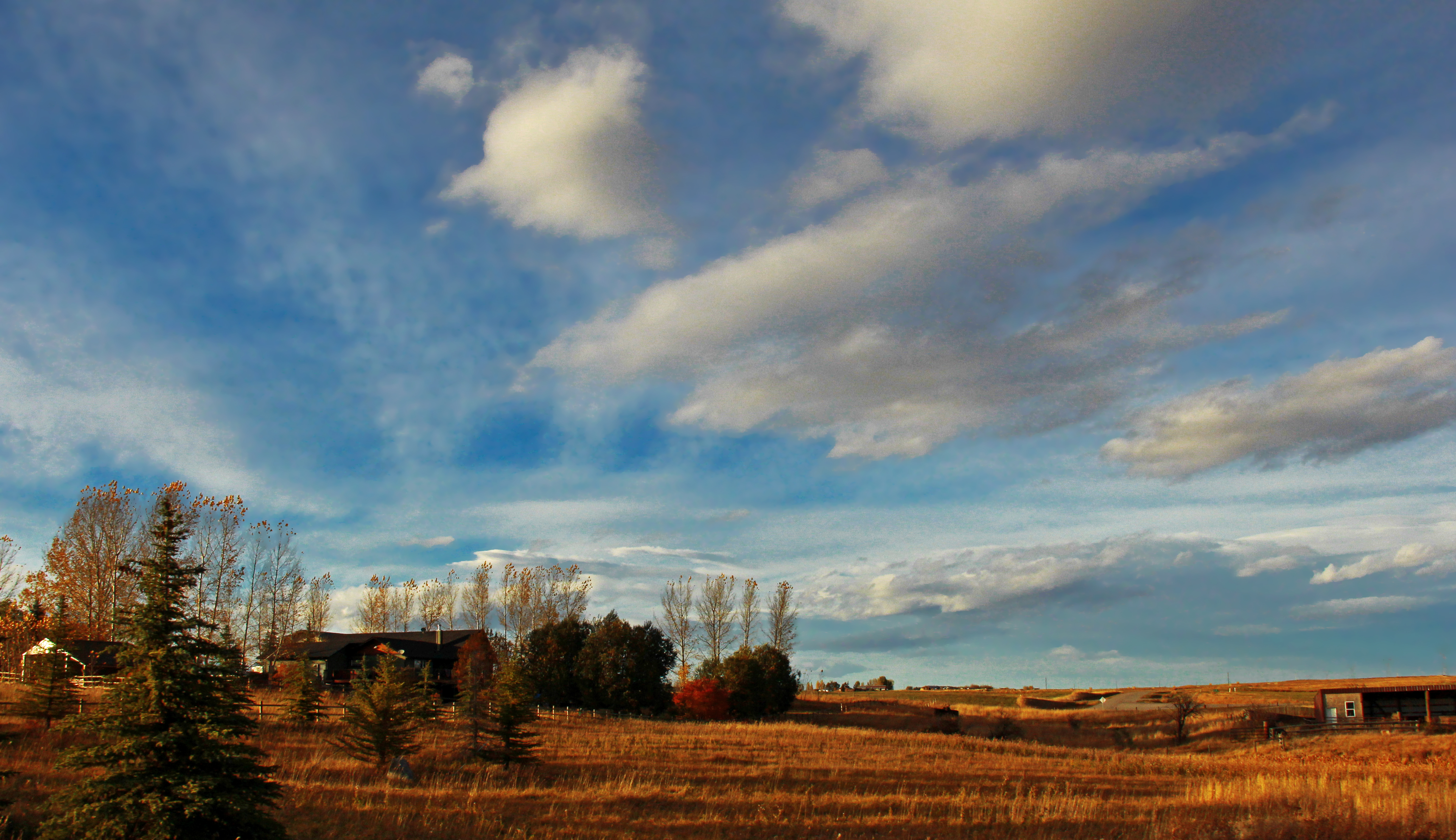
Sky Over Ranch
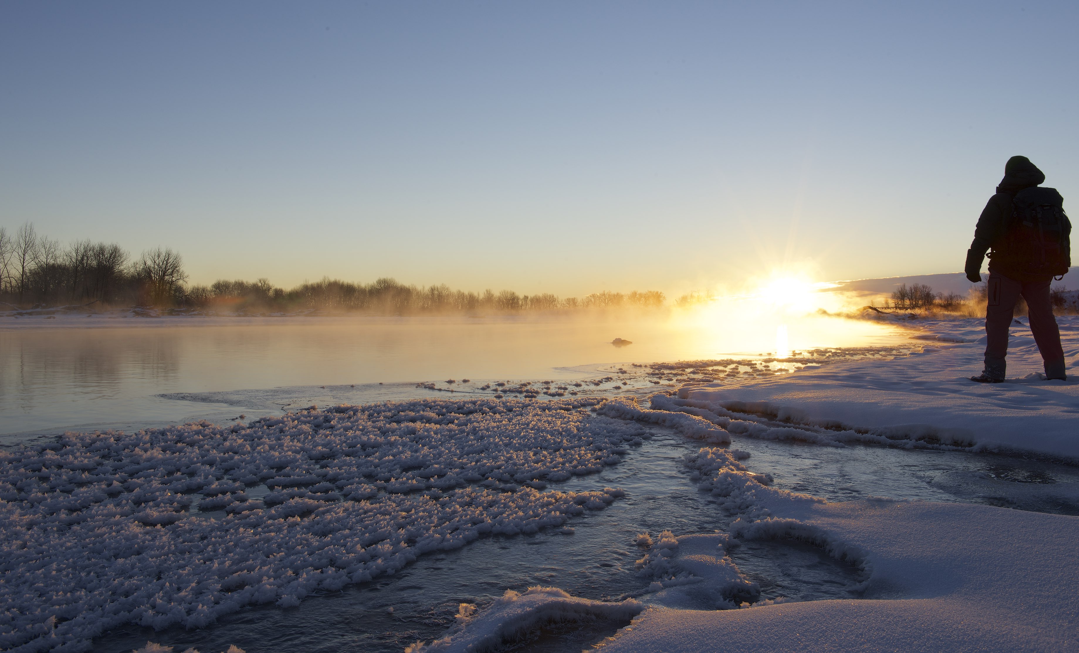
Morning Warmth
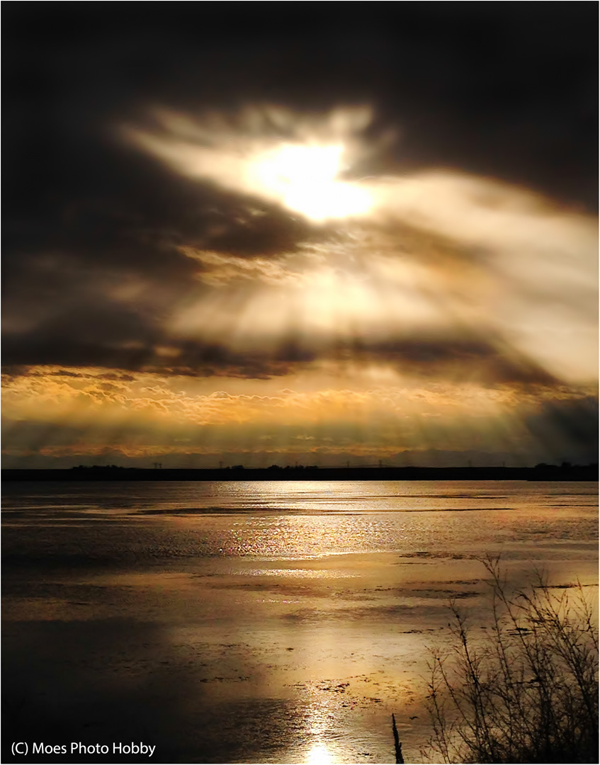
A Break In the Clouds (iPhone 5)
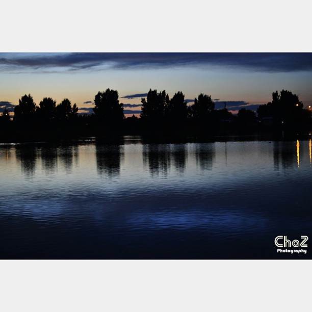
#sunset #emersonlake #highriver #alberta #ca #contemplate #reflect #instapic #instacool #chaz
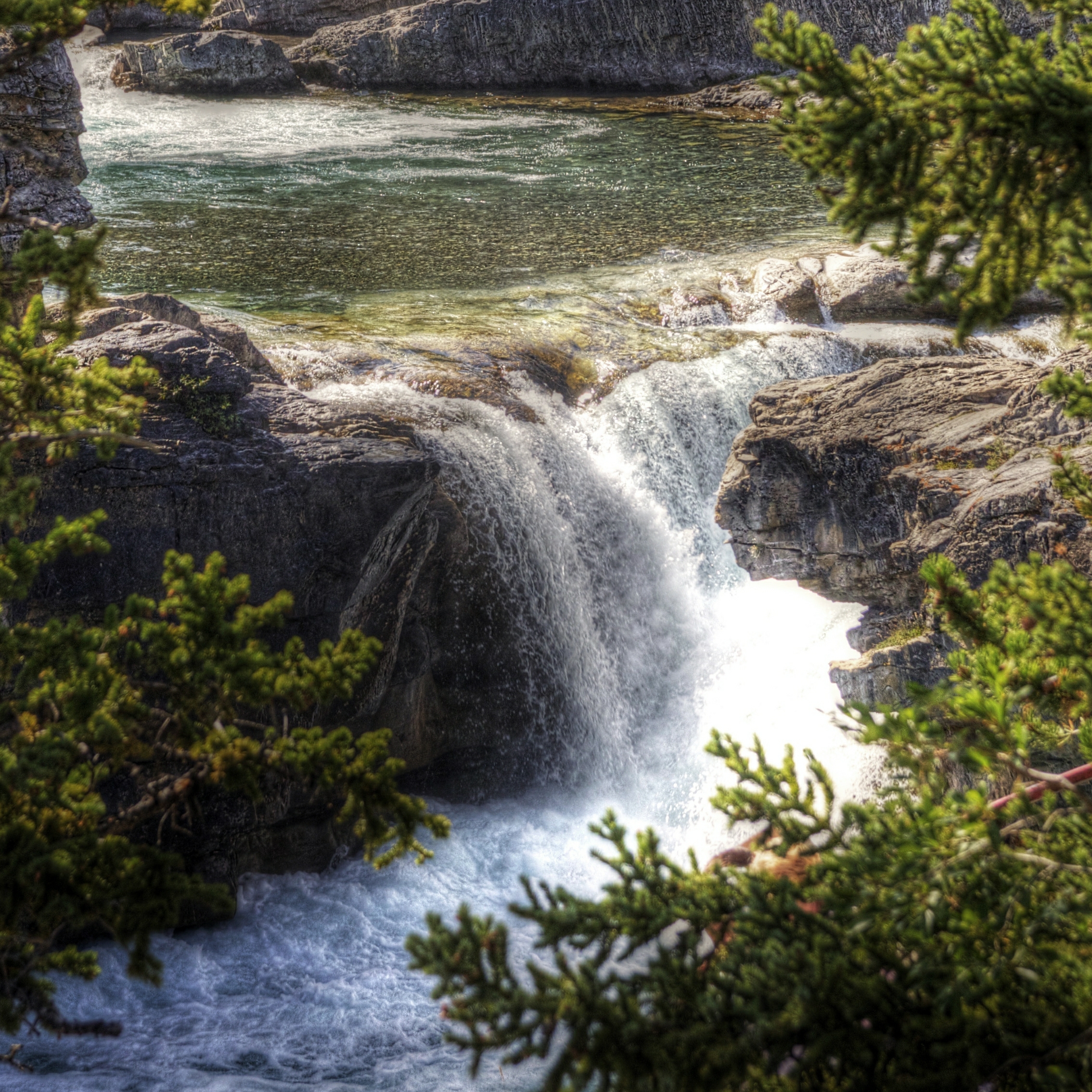
Waterfall - HDR
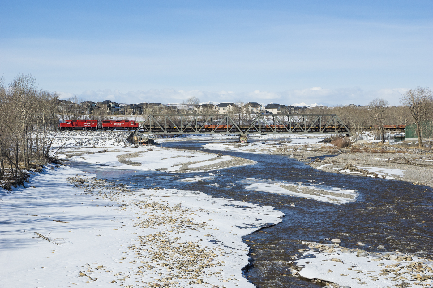
CP BAL-02 @ Okotoks, AB
Winding Up
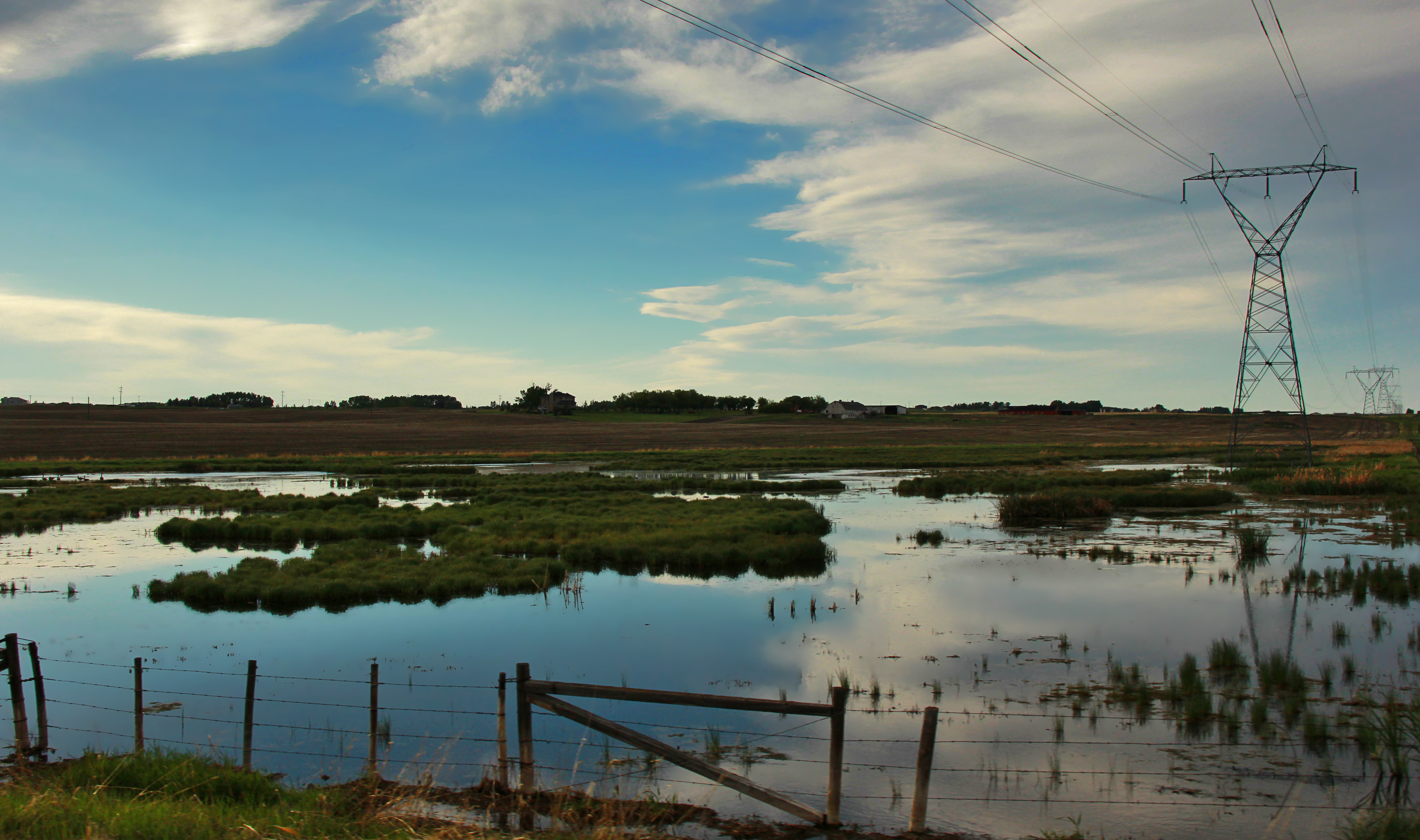
Alberta Landscape
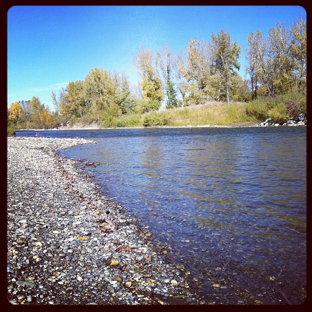
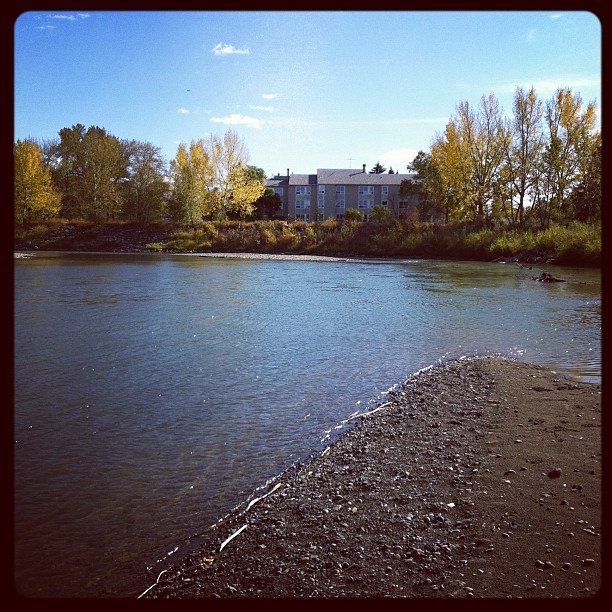
Down river

Fall river

December 21st Moon

Canada 023
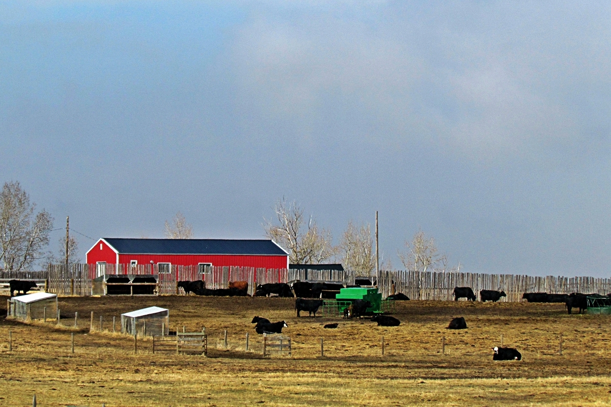
Ranch near Aldersyde, Alberta
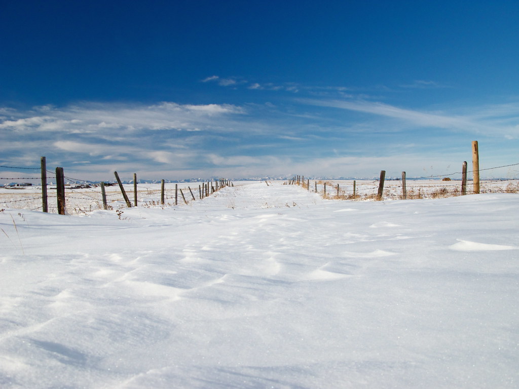
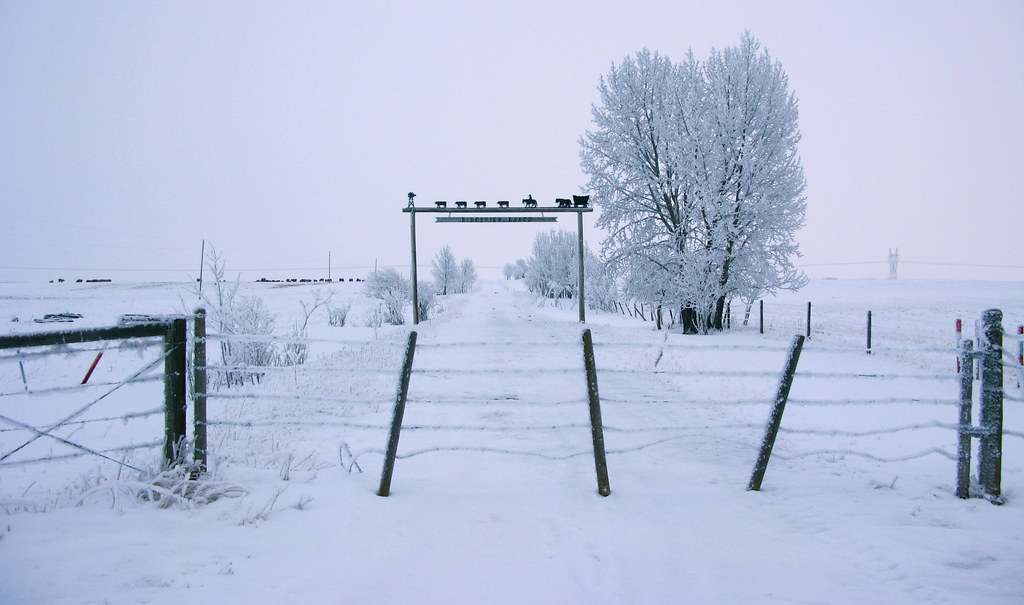
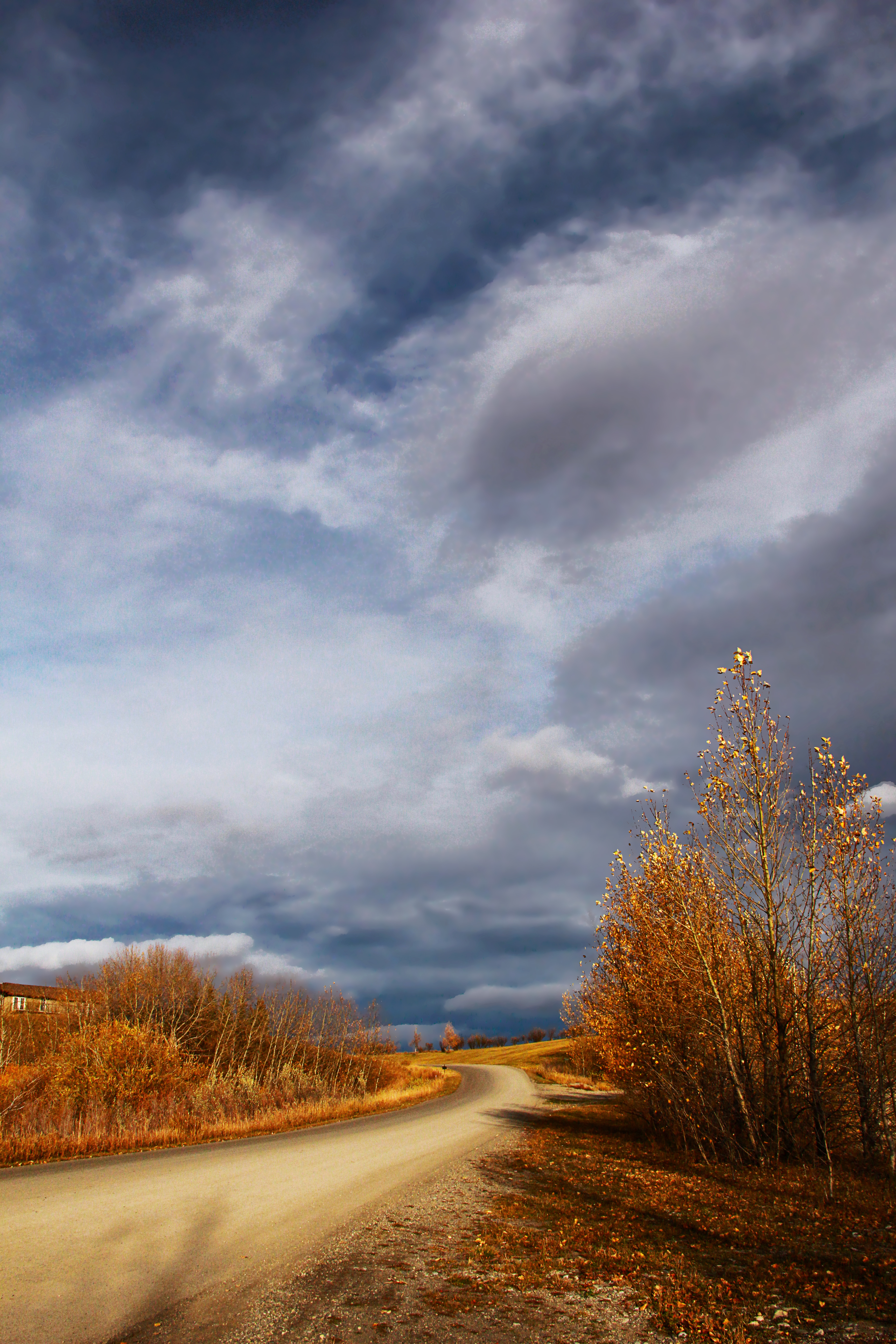
Snow Road
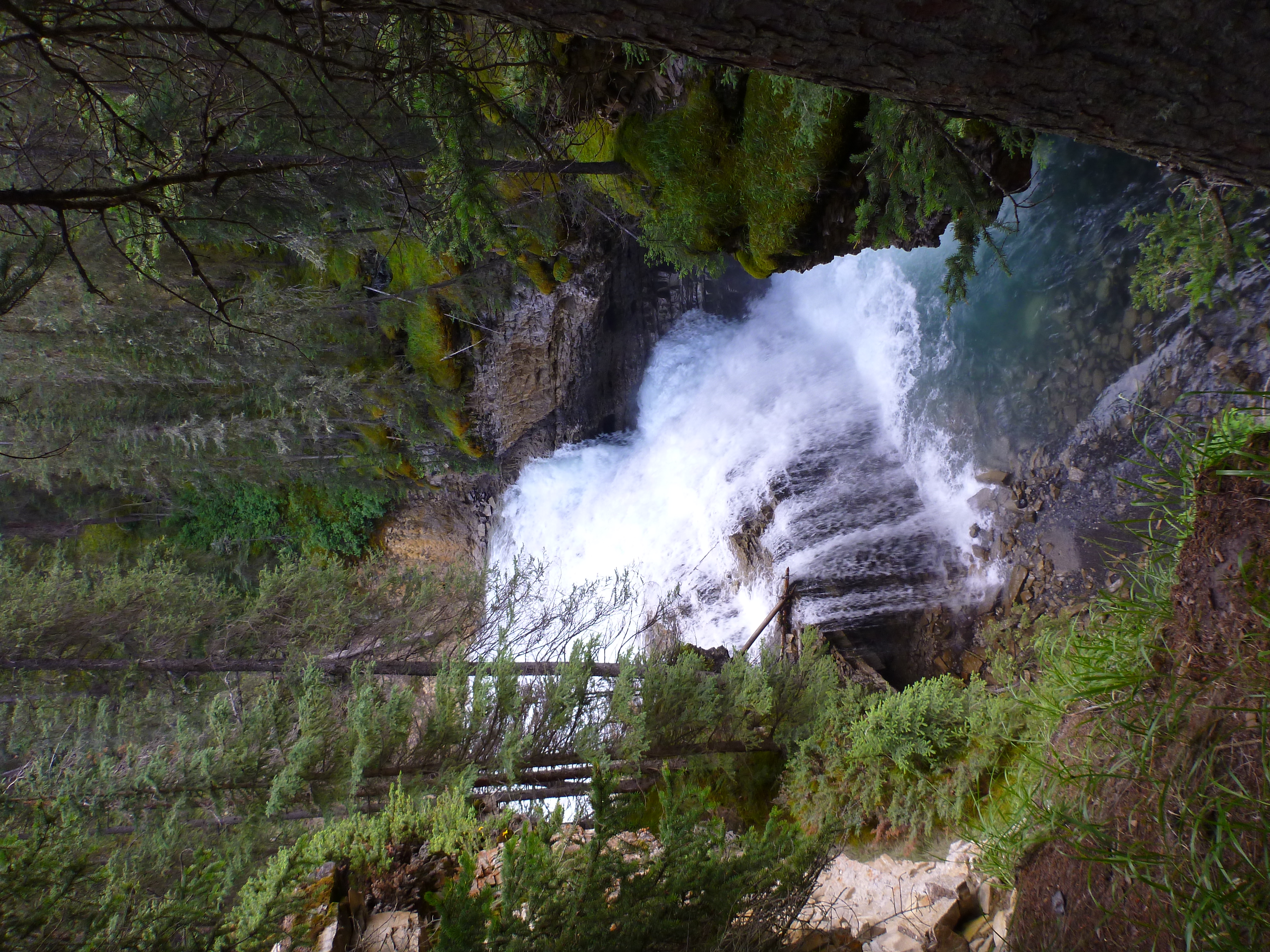
Johnston's Canyon
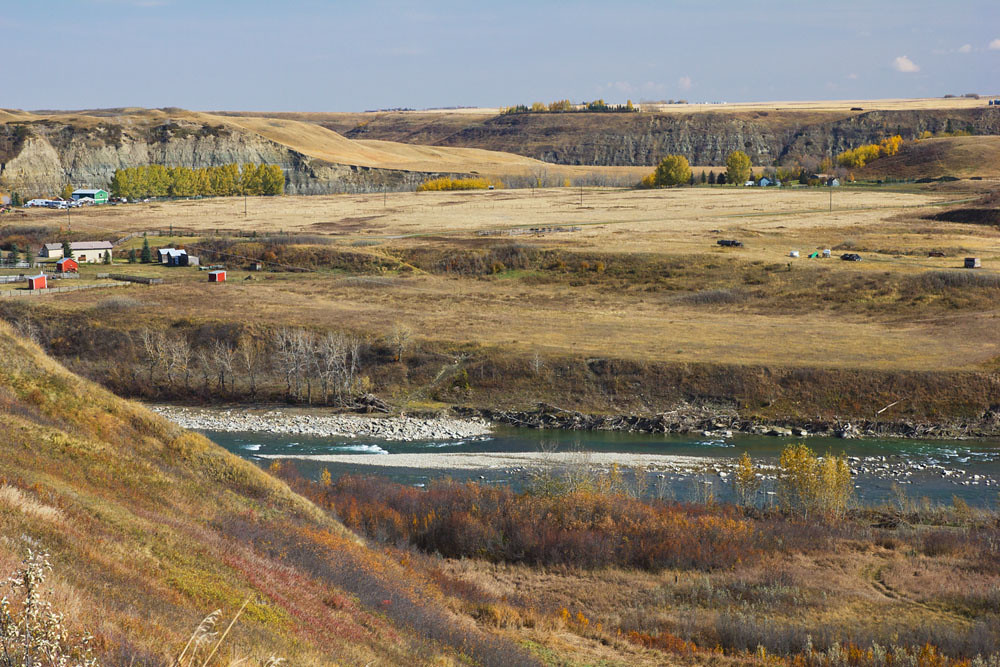
High River
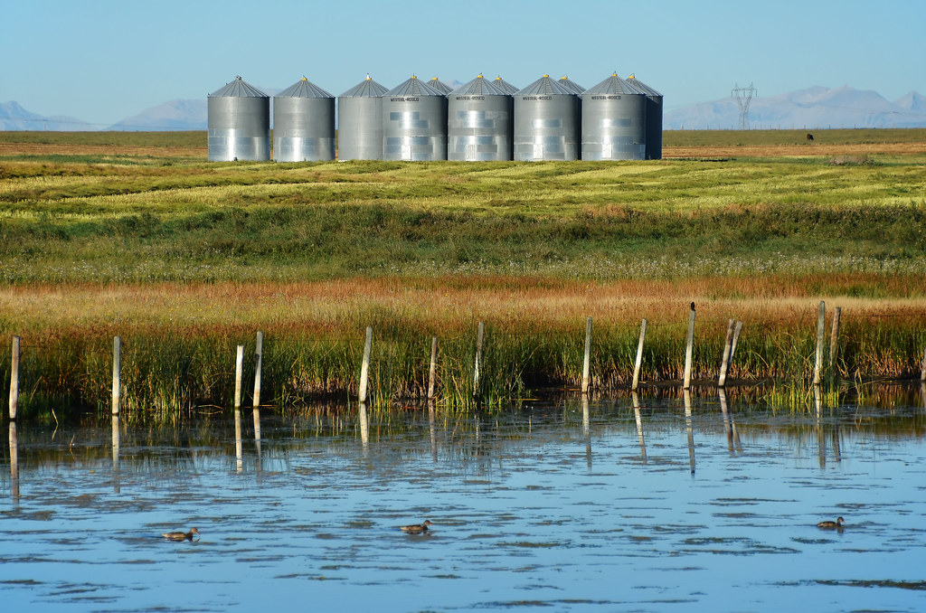
Field Bins 2
Topographic Map of St E, Aldersyde, AB T0L 0A0, Canada
Find elevation by address:

Places near St E, Aldersyde, AB T0L 0A0, Canada:
Aldersyde
96 Street East
214 Boulder Creek Dr
Langdon
Sandpiper Crescent
Kinniburgh
Kinniburgh Place
Kinniburgh Place
Kinniburgh Crescent
Trico Homes Dawson's Landing
Morrison Homes - Dawson's Landing Duplex
32 Chelsea Cape
Chelsea Bay
Chelsea Road
Chestermere
Westmere
329 Marina Dr
Cove Dr, Chestermere, AB T1X 1E9, Canada
The Cove
Inverlake Road
Recent Searches:
- Elevation of Corso Fratelli Cairoli, 35, Macerata MC, Italy
- Elevation of Tallevast Rd, Sarasota, FL, USA
- Elevation of 4th St E, Sonoma, CA, USA
- Elevation of Black Hollow Rd, Pennsdale, PA, USA
- Elevation of Oakland Ave, Williamsport, PA, USA
- Elevation of Pedrógão Grande, Portugal
- Elevation of Klee Dr, Martinsburg, WV, USA
- Elevation of Via Roma, Pieranica CR, Italy
- Elevation of Tavkvetili Mountain, Georgia
- Elevation of Hartfords Bluff Cir, Mt Pleasant, SC, USA