Elevation of St Damien Rd, Saint-Damien, NB E4V 3E9, Canada
Location: Canada > New Brunswick > Kent County > Saint Mary > Saint-damien >
Longitude: -64.826512
Latitude: 46.3439905
Elevation: 77m / 253feet
Barometric Pressure: 100KPa
Elevation Map:
Satellite Map:
Related Photos:

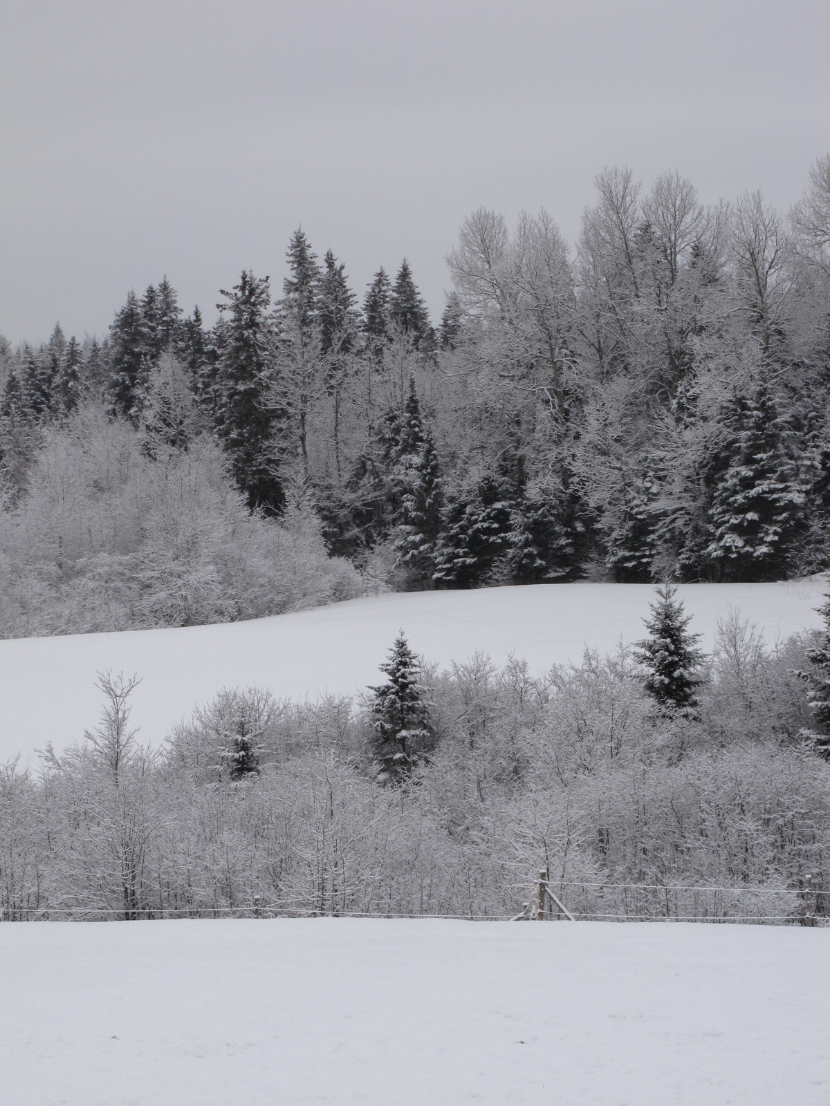
View from our house, another crappy weather day. Snow, then freezing rain, then rain, rain now, could be more freezing rain later. A big mess. At least the sidewalk is cleared before the street. Une journée de cochonneries, y fait laid dehors. #Bouct
View from my house

Our snowshoeing adventure finished when we went up the tower at the Pays de la Sagouine. Haven't been up there in years. Beautiful view of the island and town of Bouctouche. #Bouctouche #whereiamfrom #Acadie #Acadia #NewBrunswick #NouveauBrunswick #Bo

Giant beach wheat. #golden

Eyed Brown 20150711 Bouctouche-12 (2)

Bouctouche River, Sainte-Anne-de-Kent, New Brunswick, Canada.
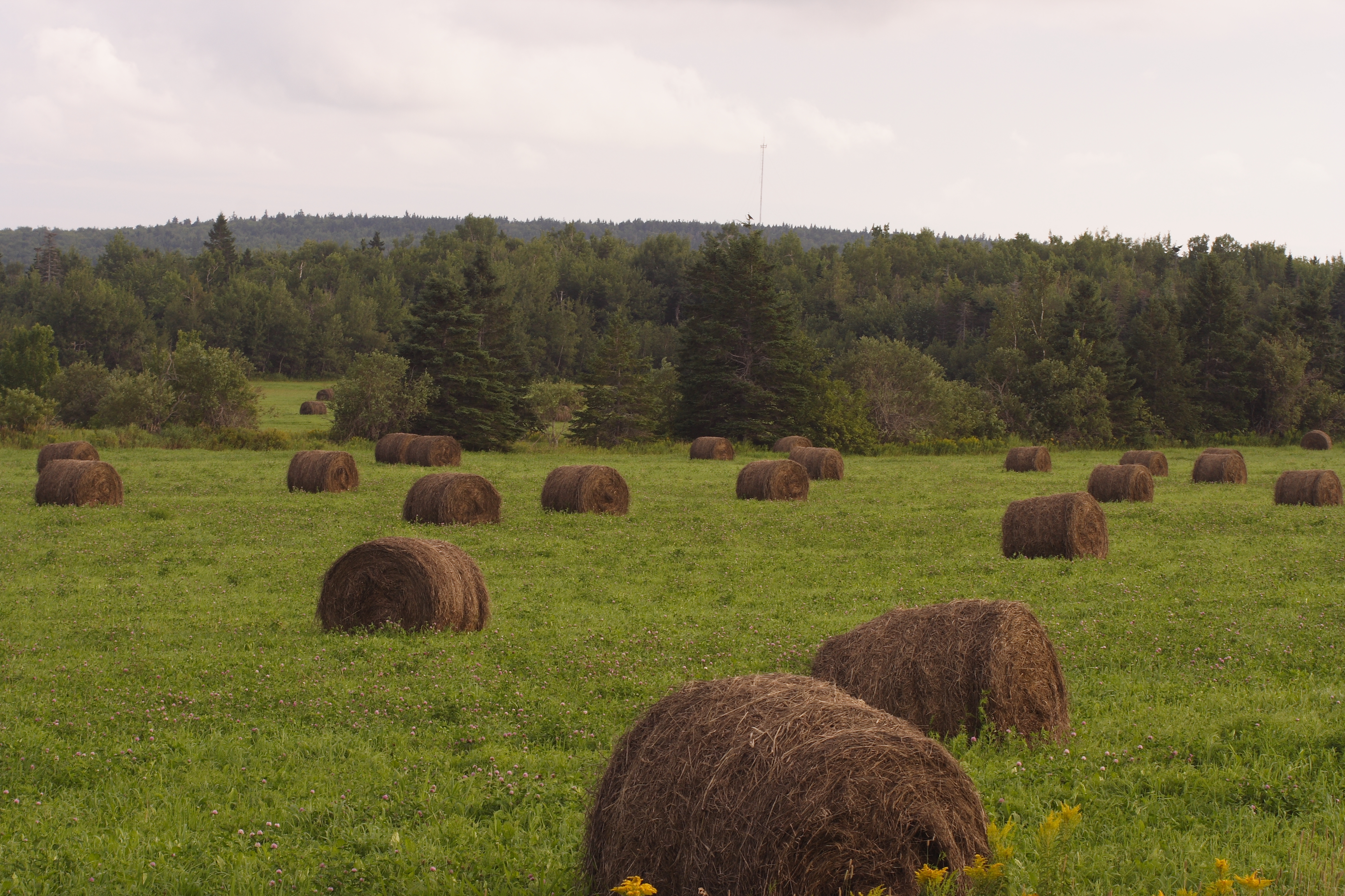
Hay Bails
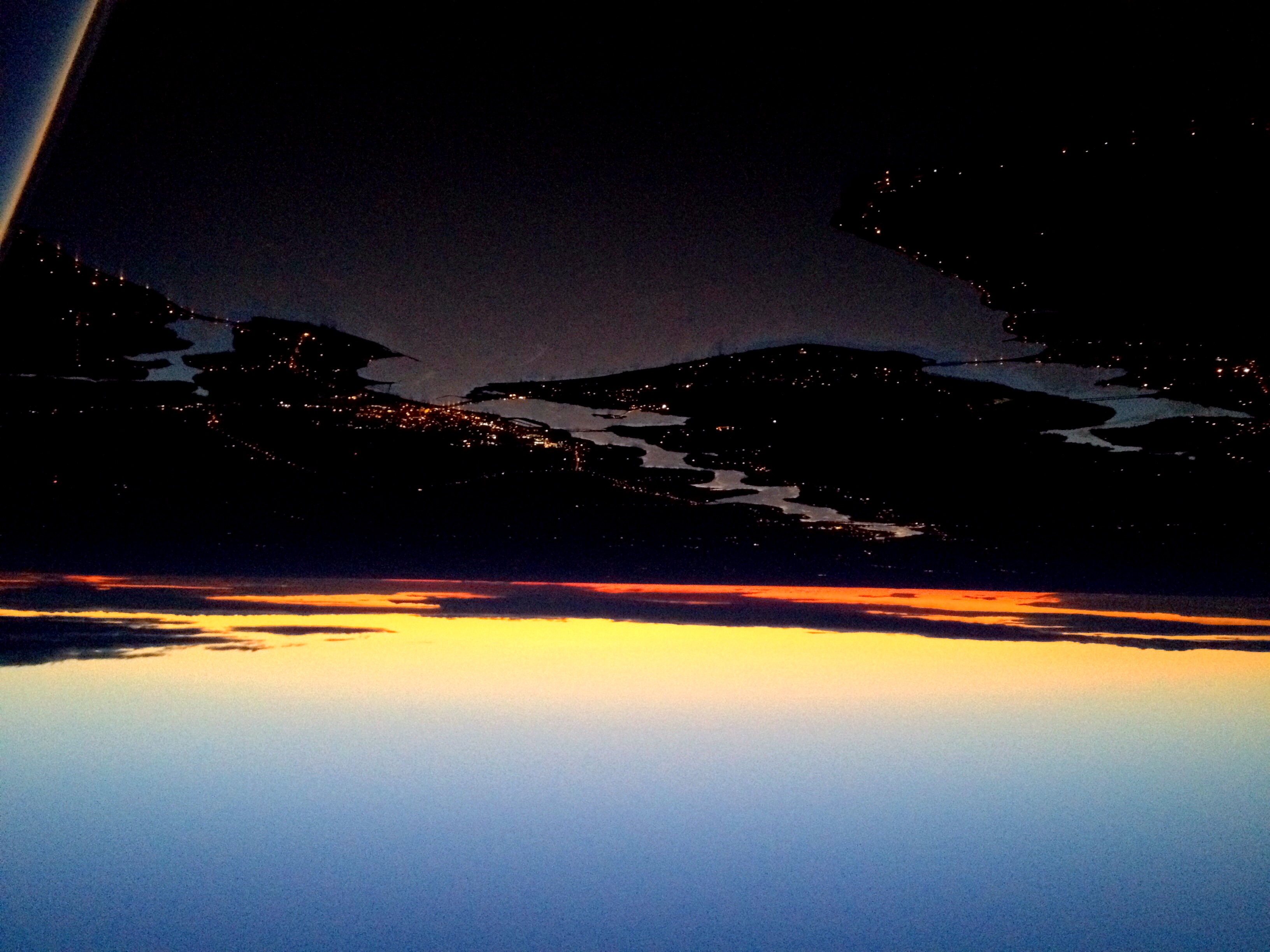
Sunset over bouctouche
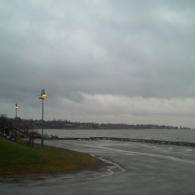
Quite stormy today in NB, water is not over the wharf but very close. Journée de tempête sur la baie de Bouctouche. #wharf #quai #Bouctouche #NewBrunswick #NouveauBrunswick #Canada #fallnb #nbfall #OmNomNB

Pays de la Sagouine - Bouctouche, NB

St. Martin's, New Brunswick

Miramichi coast
Topographic Map of St Damien Rd, Saint-Damien, NB E4V 3E9, Canada
Find elevation by address:

Places near St Damien Rd, Saint-Damien, NB E4V 3E9, Canada:
Saint-damien
Saint Mary
Saint-antoine
3429 Nb-490
10 Chemin Trafalgar, Dundas, NB E1G 3K5, Canada
Dundas
NB-, Moncton, NB E4V, Canada
New Scotland Rd, New Scotland, NB E1G 3K7, Canada
646 Victoria Rd
126 Macdougall Rd
NB-, Saint-Paul, NB E4T, Canada
Macdougall Settlement
New Scotland Road
Saint-paul
New Scotland
Saint-paul
New Brunswick 515
New Brunswick 485
New Brunswick 485
NB-, Saint-Paul, NB E4T 3S5, Canada
Recent Searches:
- Elevation of Corso Fratelli Cairoli, 35, Macerata MC, Italy
- Elevation of Tallevast Rd, Sarasota, FL, USA
- Elevation of 4th St E, Sonoma, CA, USA
- Elevation of Black Hollow Rd, Pennsdale, PA, USA
- Elevation of Oakland Ave, Williamsport, PA, USA
- Elevation of Pedrógão Grande, Portugal
- Elevation of Klee Dr, Martinsburg, WV, USA
- Elevation of Via Roma, Pieranica CR, Italy
- Elevation of Tavkvetili Mountain, Georgia
- Elevation of Hartfords Bluff Cir, Mt Pleasant, SC, USA