Elevation of St. Andrews, MB, Canada
Location: Canada > Manitoba > Division No. 13 >
Longitude: -96.984179
Latitude: 50.2625413
Elevation: 230m / 755feet
Barometric Pressure: 99KPa
Elevation Map:
Satellite Map:
Related Photos:

Number of Photo Views
Room with a View (or "Finally ... a Place on the Water")

View from my window #canada #manitoba #st.andrews #winter #trees #snow #viewfrommywindow #rural #ruraljuror
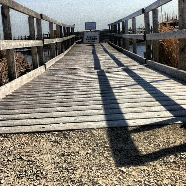
Viewing is closed #sciencecamp

Enjoying the View
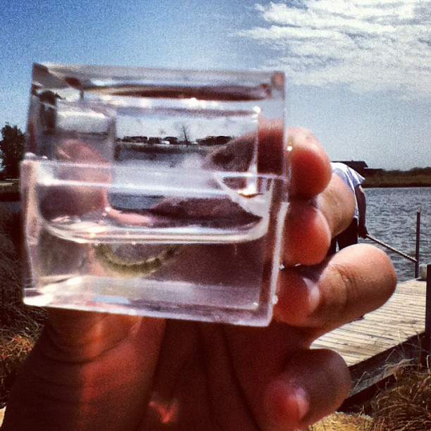
Water Tiger 2 - Side View #sciencecamp
View from the Roof
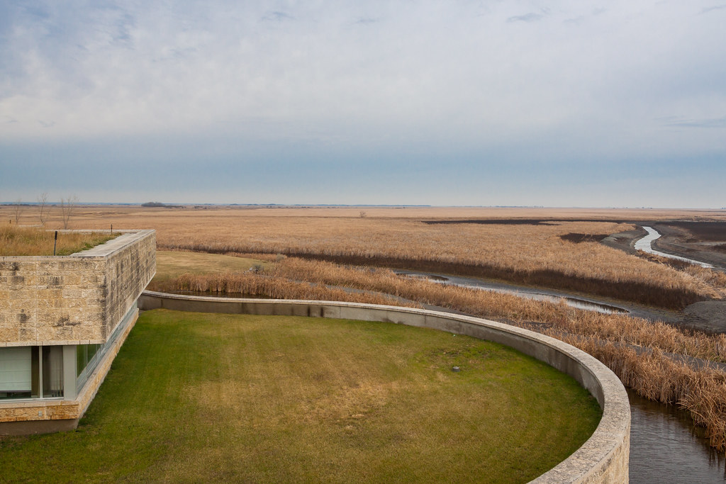
Hydro Park

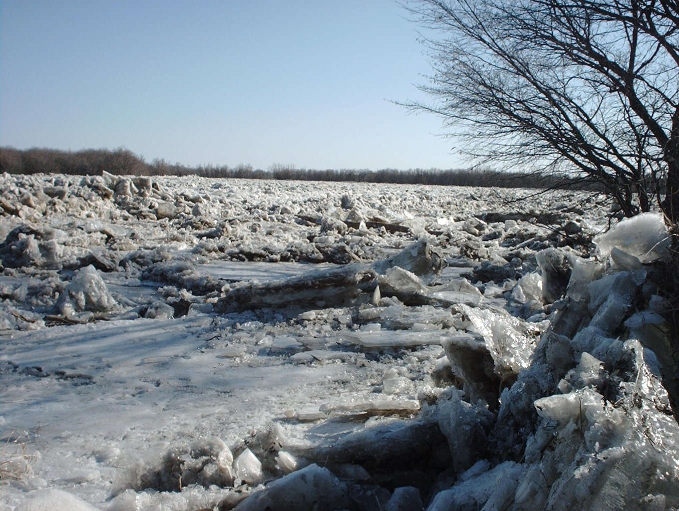
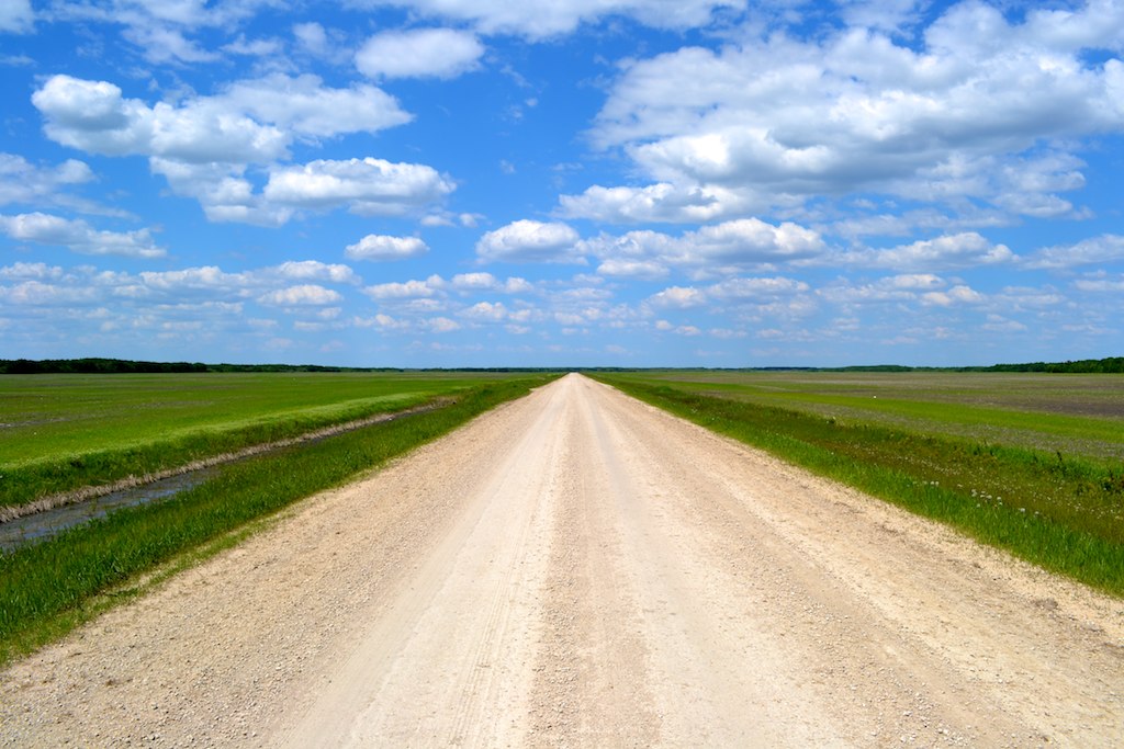
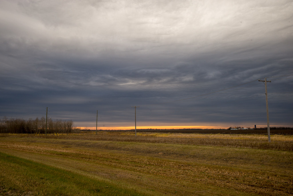
Light At The End Of The Road
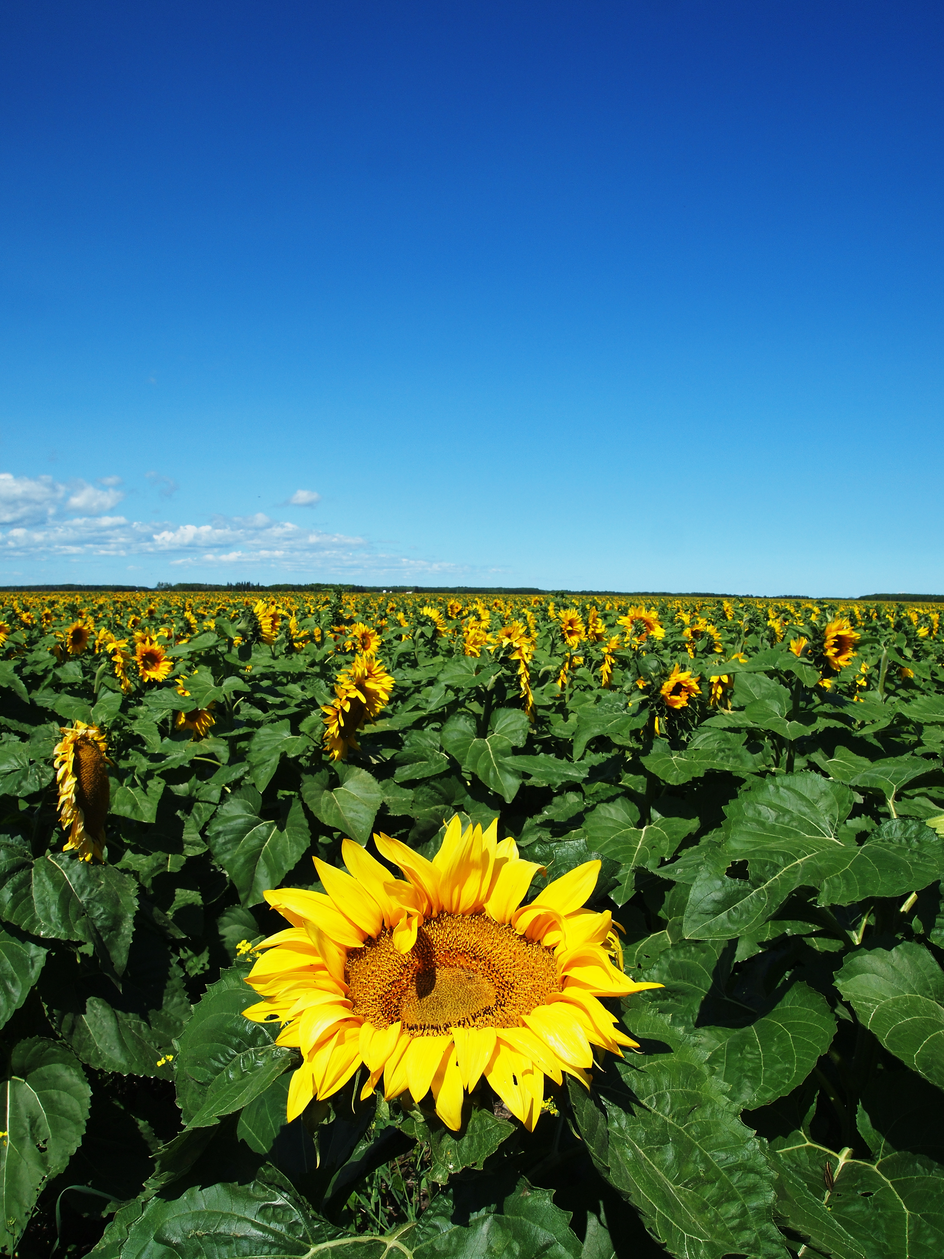
Sunflower and Blue Sky
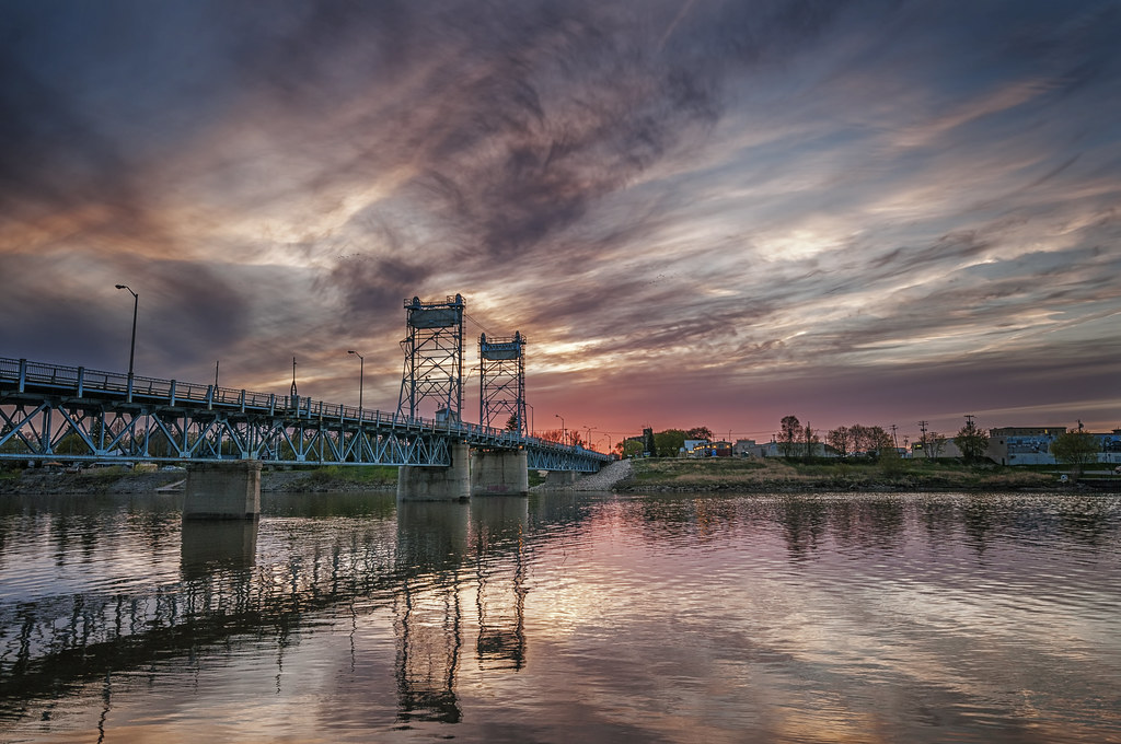
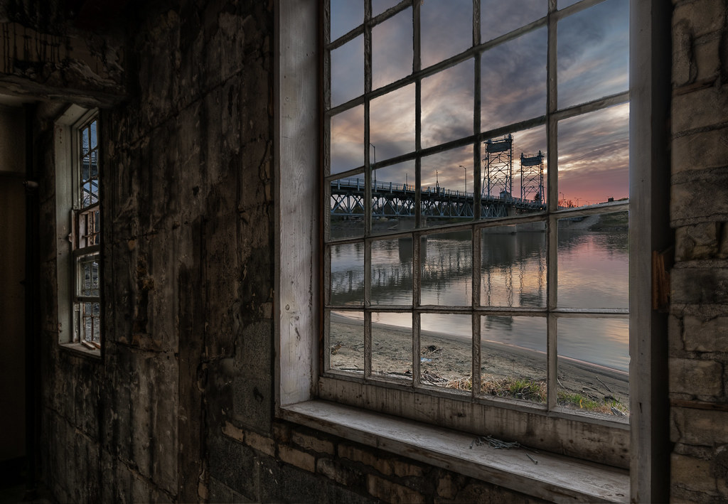
Selkirk LIft Bridge Sunset
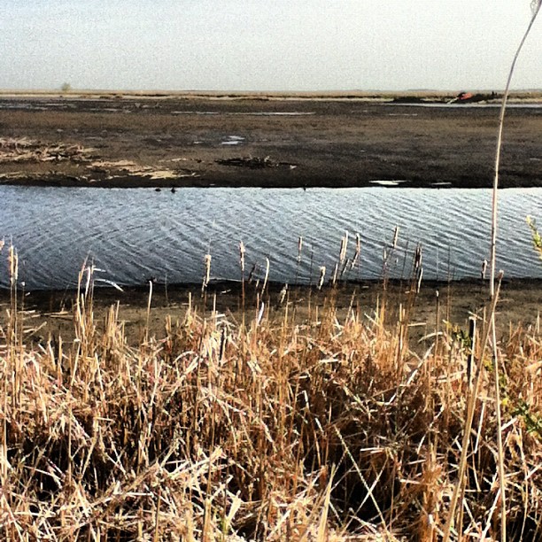
Parts of the marsh are sometimes drained to encourage plant growth #sciencecamp

IMG_3453 The Marsh
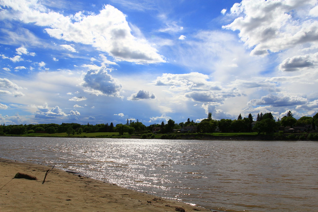
LakeWinnipeg-010

Breezy Point Rd, Selkirk (502165)
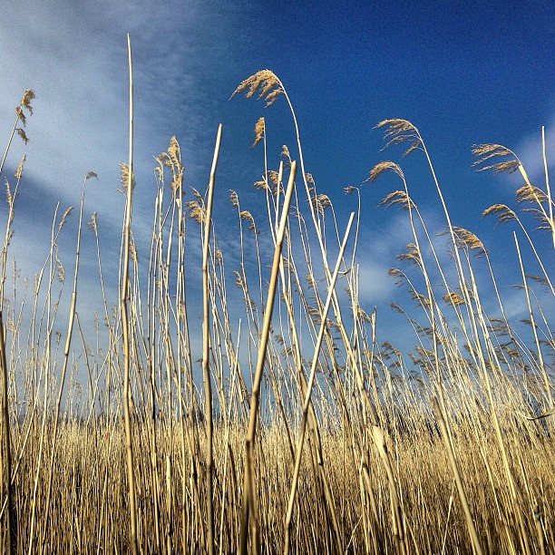
Blue sky through the Phragmities

Hwy 67, Fort Garry Rd, St. Andrews (492803)
Still Waters
Ducks skirting the shoreline #sciencecamp

Selkirk Bridge, Manitoba (470039)

Hwy 67, Fort Garry Rd, St. Andrews (490091)
June 15, 2013
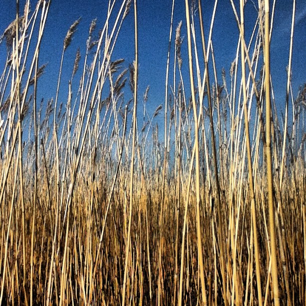
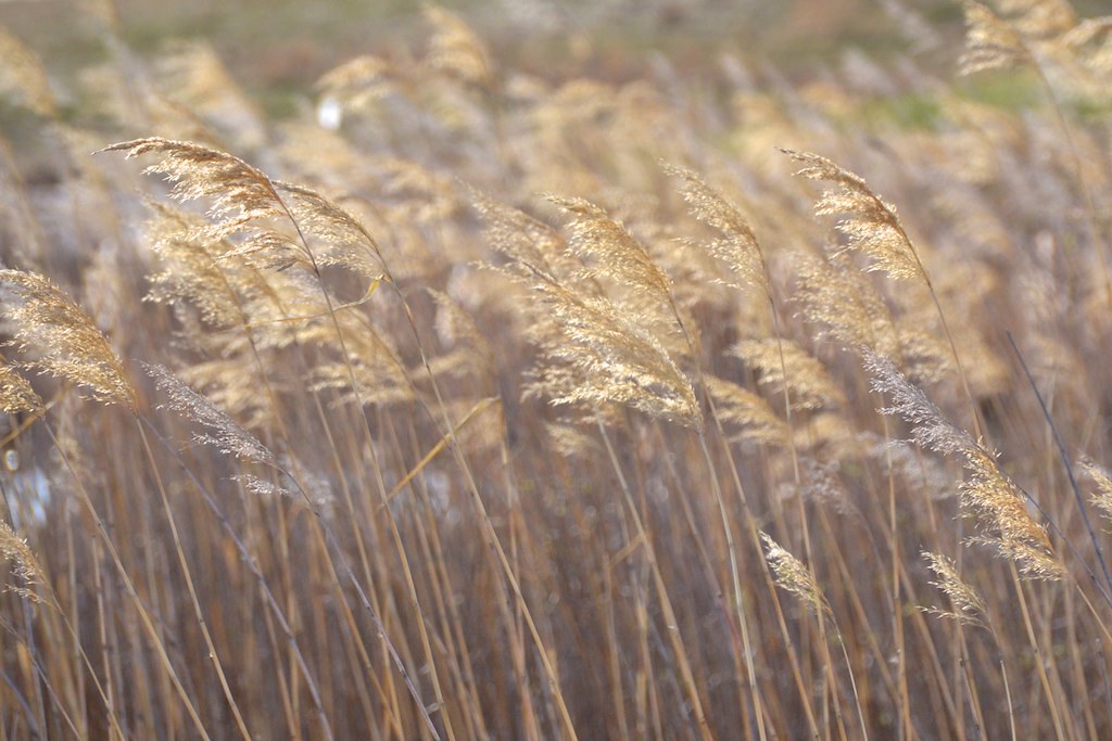
Common Rees Grass #sciencecamp

Hwy 67, Fort Garry Rd, St. Andrews (500986)
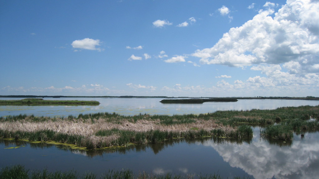
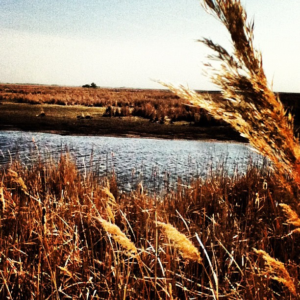
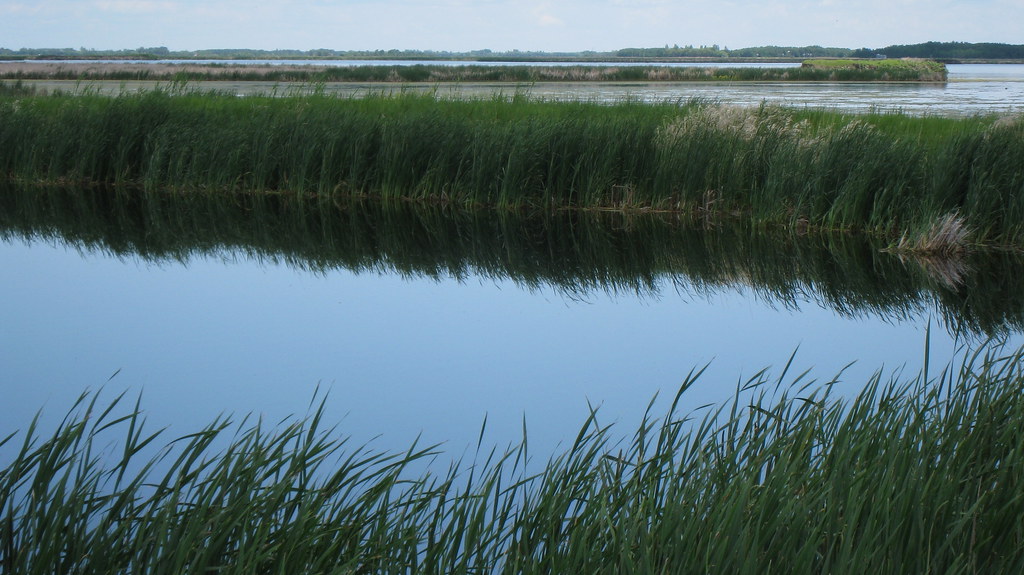
The Marshlands
MLW-147

Red River, Selkirk (502163)

Hwy 67, Fort Garry Rd, St. Andrews (492804)
Autumn in Manitoba Prairies
Topographic Map of St. Andrews, MB, Canada
Find elevation by address:

Places in St. Andrews, MB, Canada:
Places near St. Andrews, MB, Canada:
Clandeboye
Petersfield
Netley Rd, Petersfield, MB R0C 2L0, Canada
120 Easton Dr
100 Mb-9a
Clandeboye Ave, Selkirk, MB R1A 0X6, Canada
Selkirk
Division No. 13
Chalet Beach Rd, Petersfield, MB R0C 2L0, Canada
5705 Main St
Lockport
37 St Andrews Rd, Saint Andrews, MB R1A 2X5, Canada
Road 80n
182 River Rd
River Oak Crescent
St. Clements
92 Prospect St, Winnipeg Beach, MB R0C 3G0, Canada
Winnipeg Beach
Birds Hill Park
Libau
Recent Searches:
- Elevation of 72-31 Metropolitan Ave, Middle Village, NY, USA
- Elevation of 76 Metropolitan Ave, Brooklyn, NY, USA
- Elevation of Alisal Rd, Solvang, CA, USA
- Elevation of Vista Blvd, Sparks, NV, USA
- Elevation of 15th Ave SE, St. Petersburg, FL, USA
- Elevation of Beall Road, Beall Rd, Florida, USA
- Elevation of Leguwa, Nepal
- Elevation of County Rd, Enterprise, AL, USA
- Elevation of Kolchuginsky District, Vladimir Oblast, Russia
- Elevation of Shustino, Vladimir Oblast, Russia