Elevation of Springbrook Dr, Franklin, NC, USA
Location: United States > North Carolina > Macon County > Franklin > Franklin >
Longitude: -83.41626
Latitude: 35.2333636
Elevation: 651m / 2136feet
Barometric Pressure: 94KPa
Elevation Map:
Satellite Map:
Related Photos:
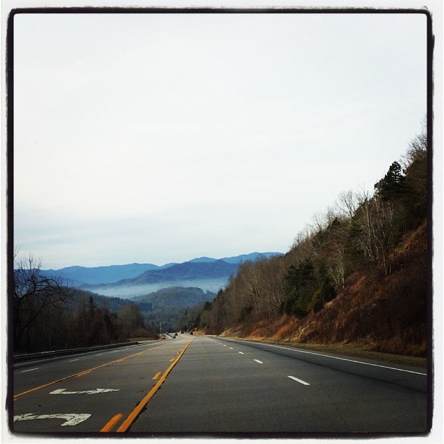
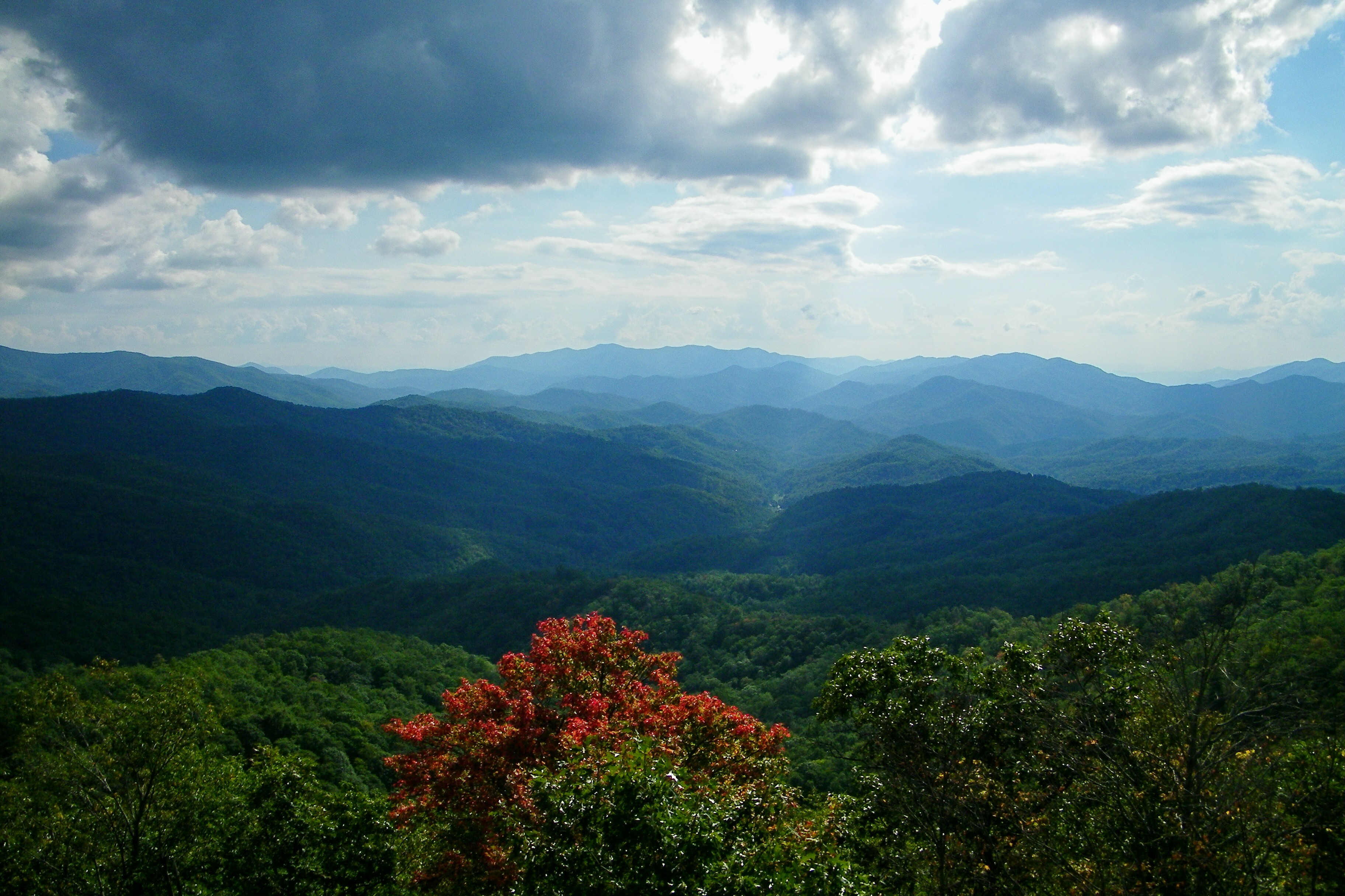
Driving thru the Smokey Mountains, what a view!

Fire Pink
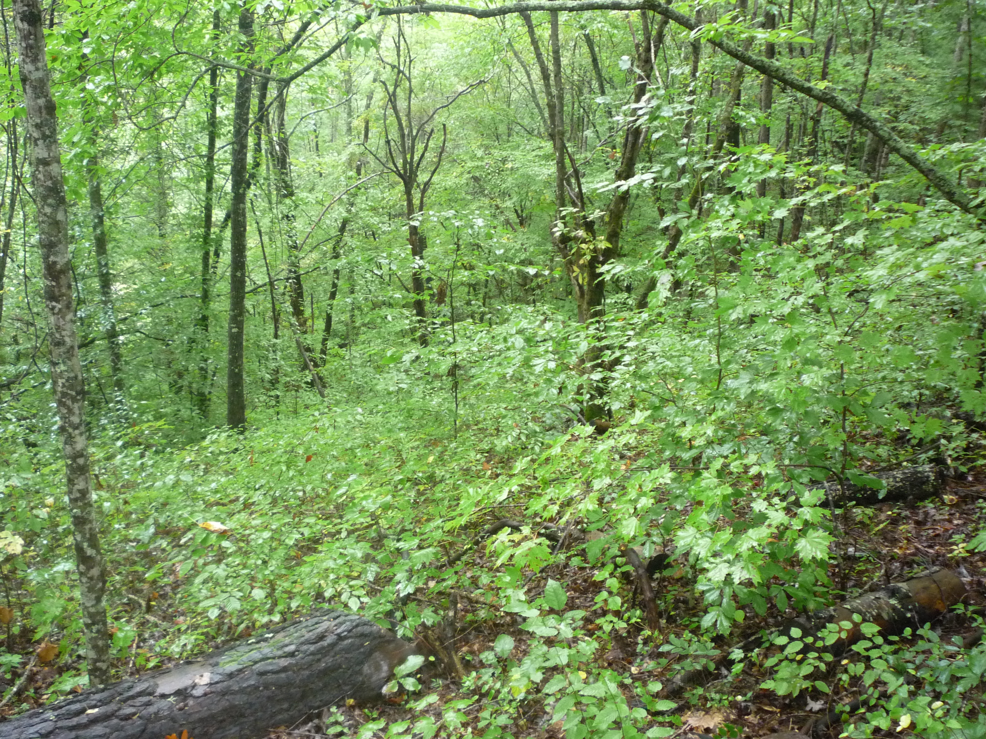
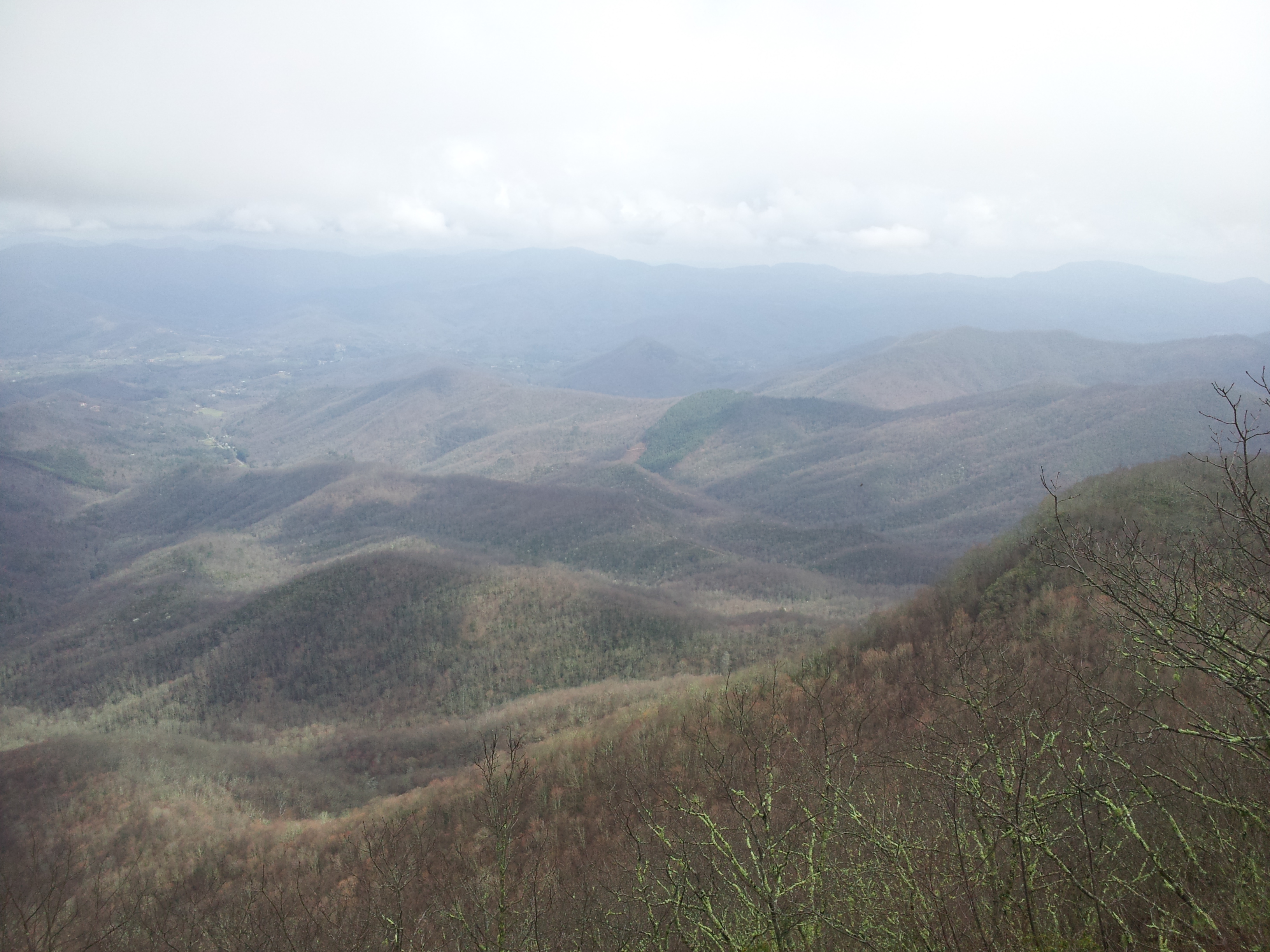
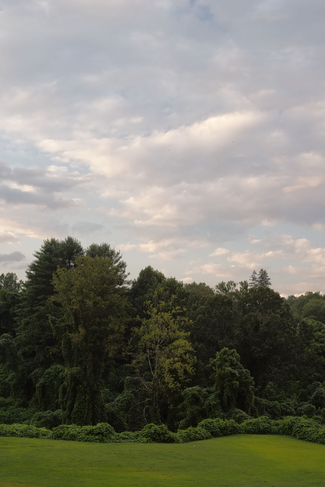
view from the road
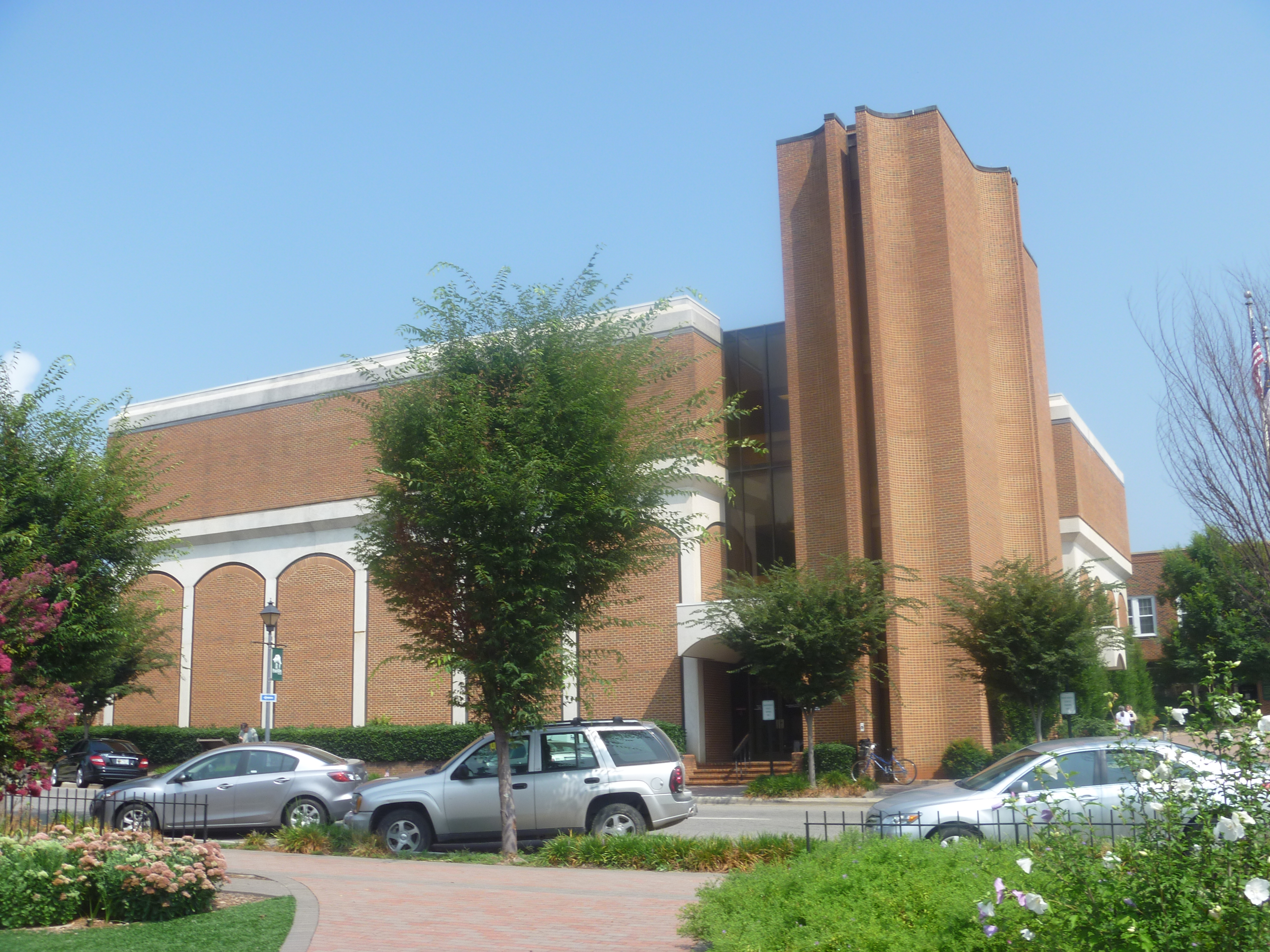
Side View Of Macon County Courthouse
Cowee Valley by Susan
Front Porch View 1
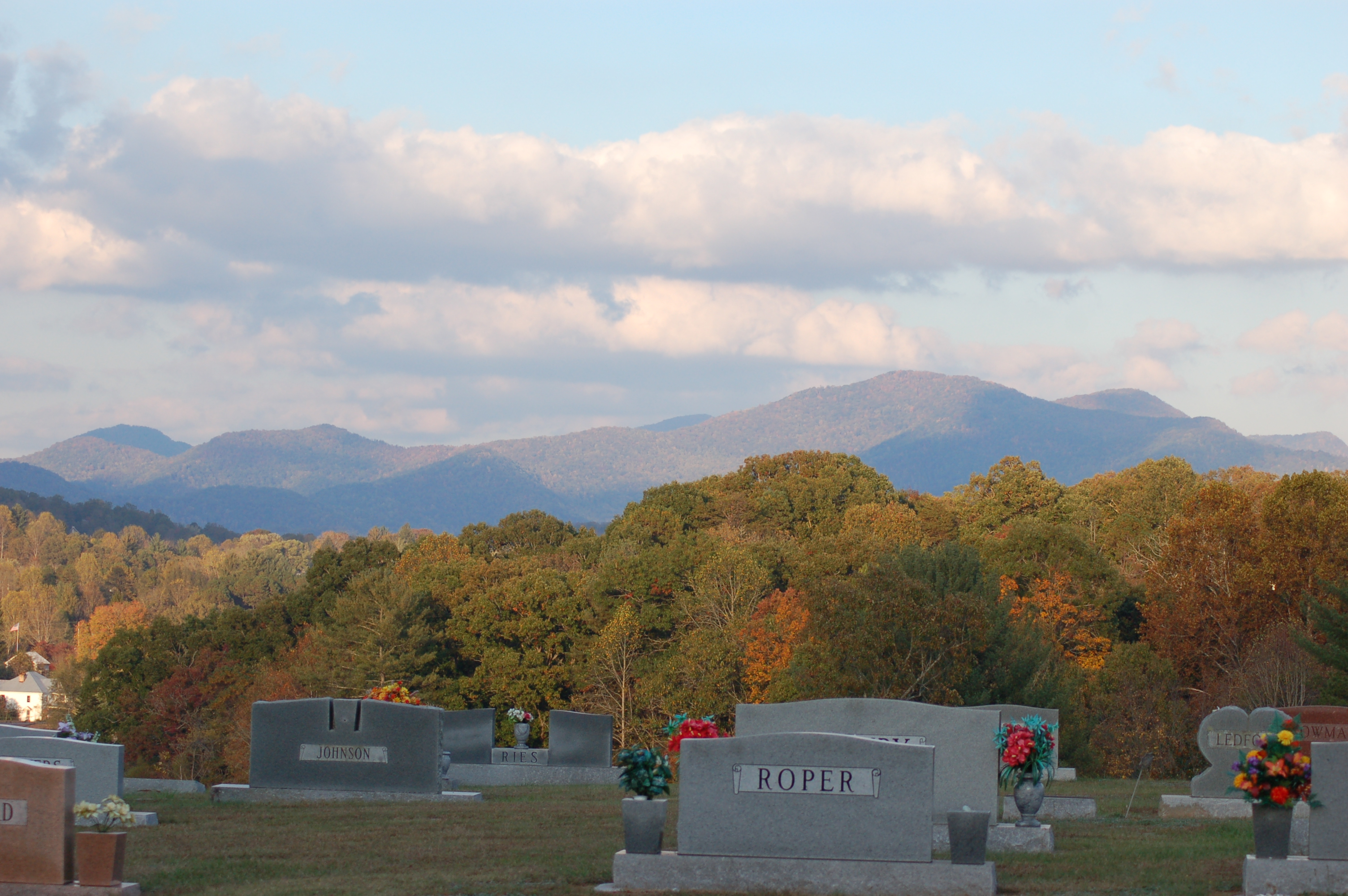
Cemetary Ridge

For when U need it

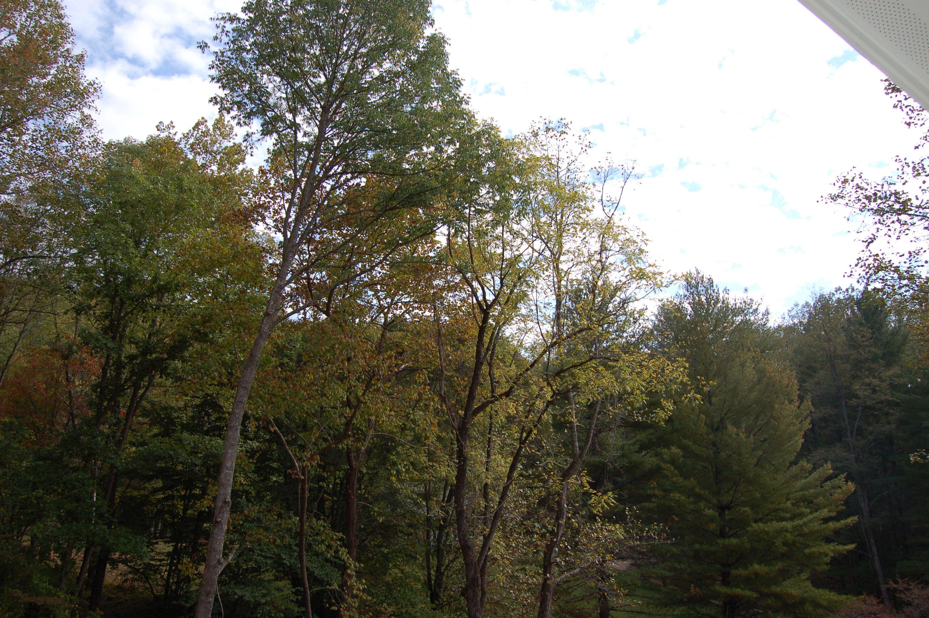
Front Porch View 3
Good morning, #brysoncity #northcarolina! View from the cabin balcony #nofilter #ttot
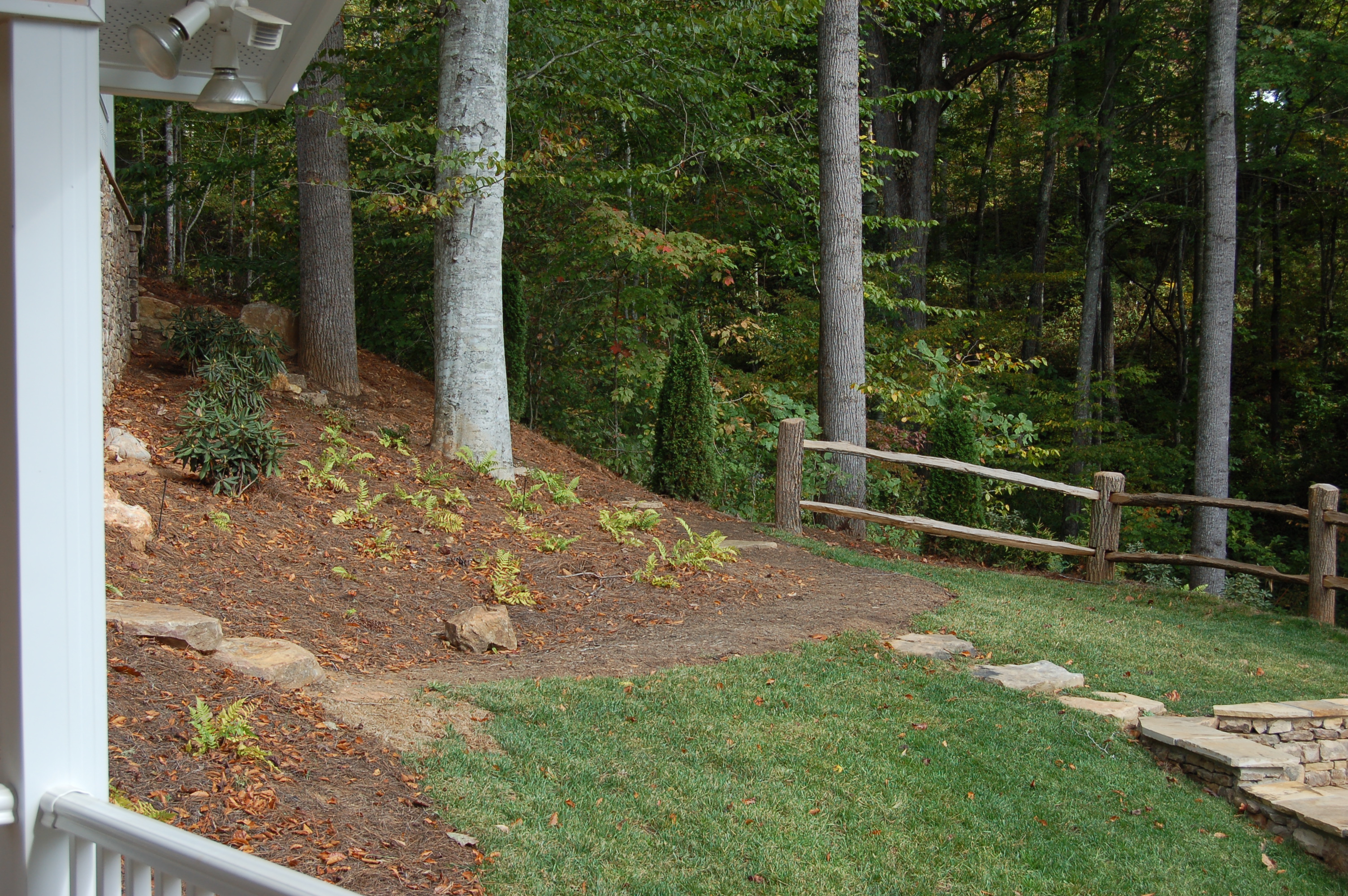
Front Porch View 2
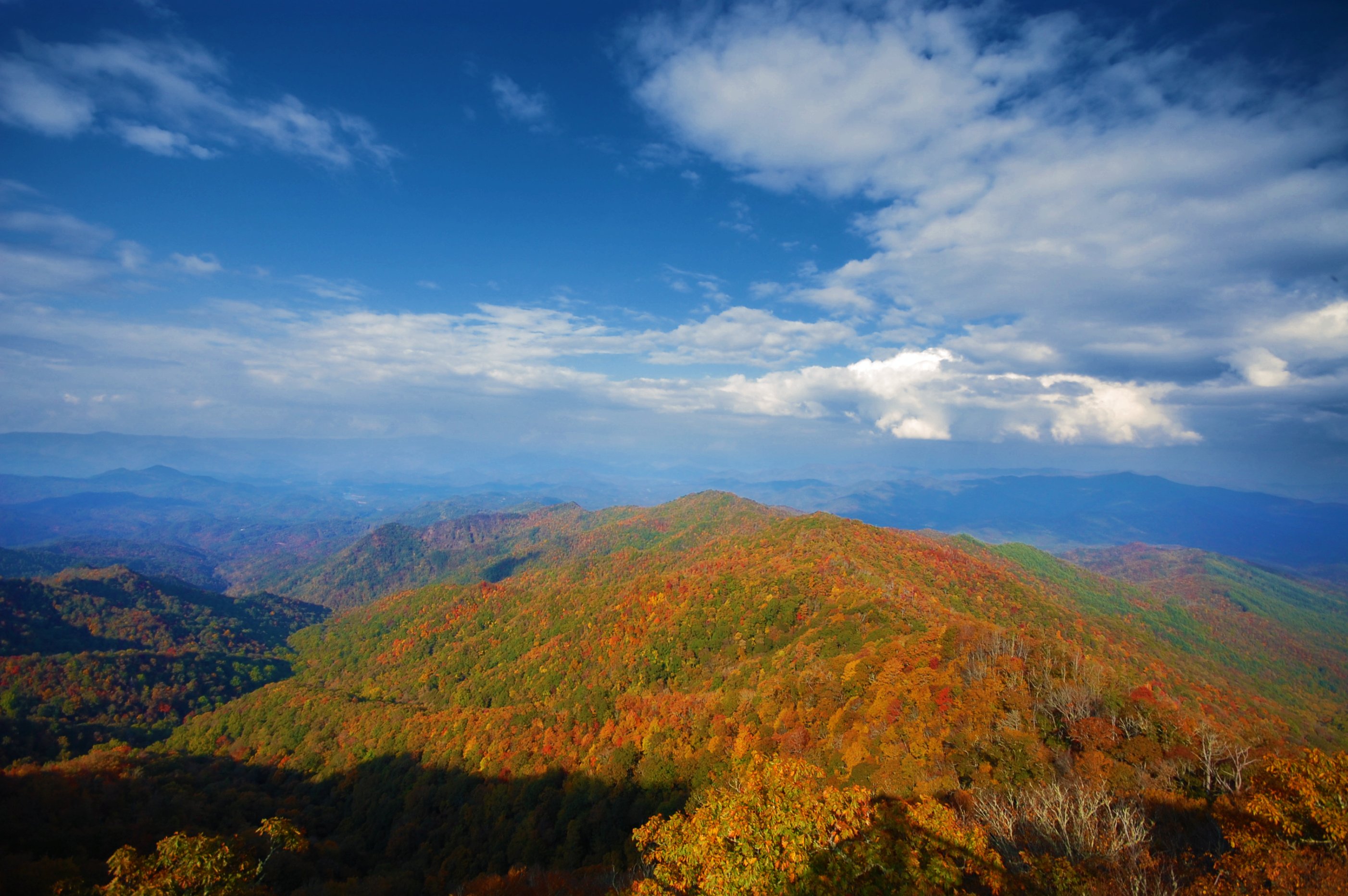
View from Albert Mtn
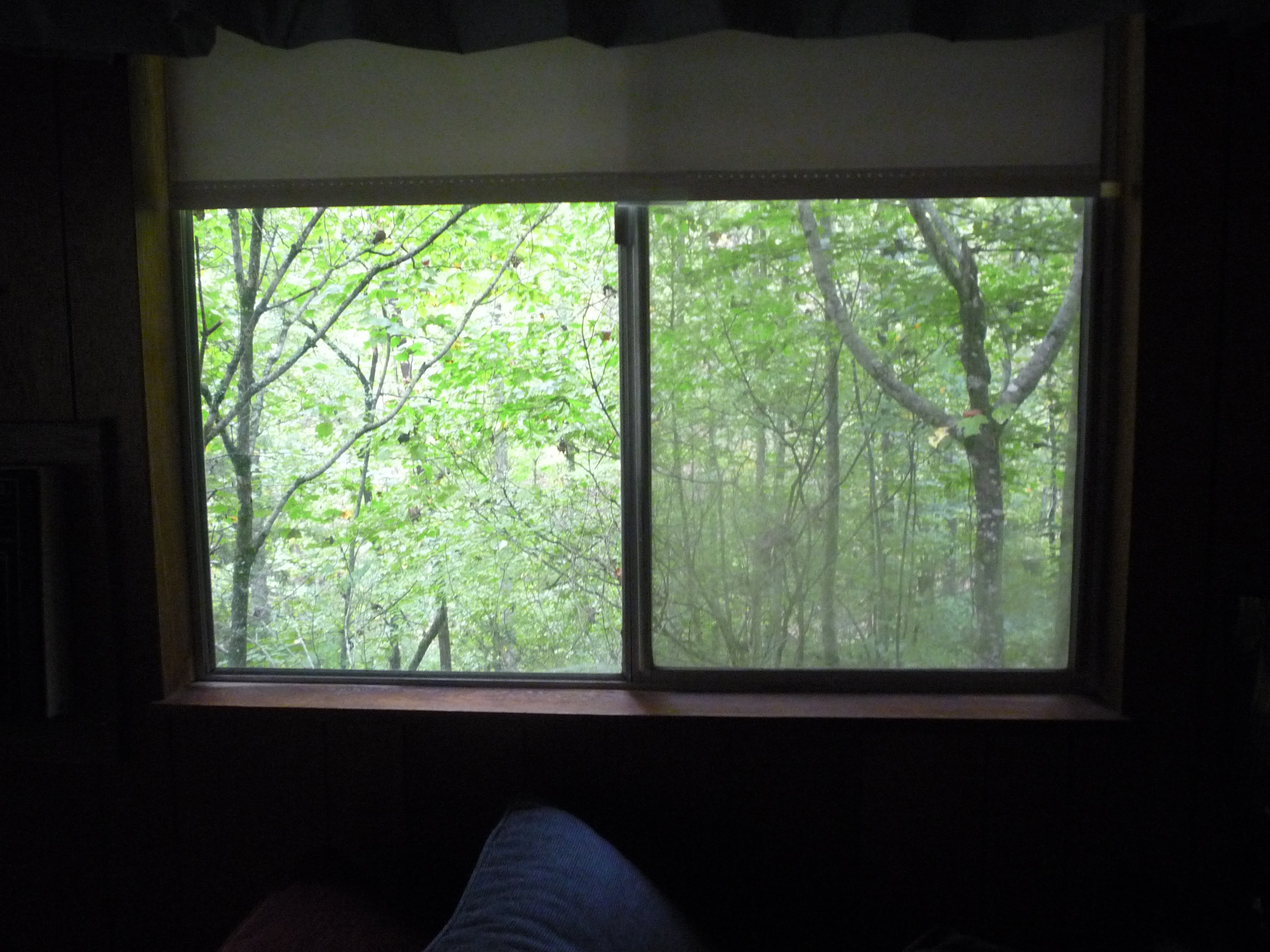
the view from our bedroom window
I made it back from Heaven
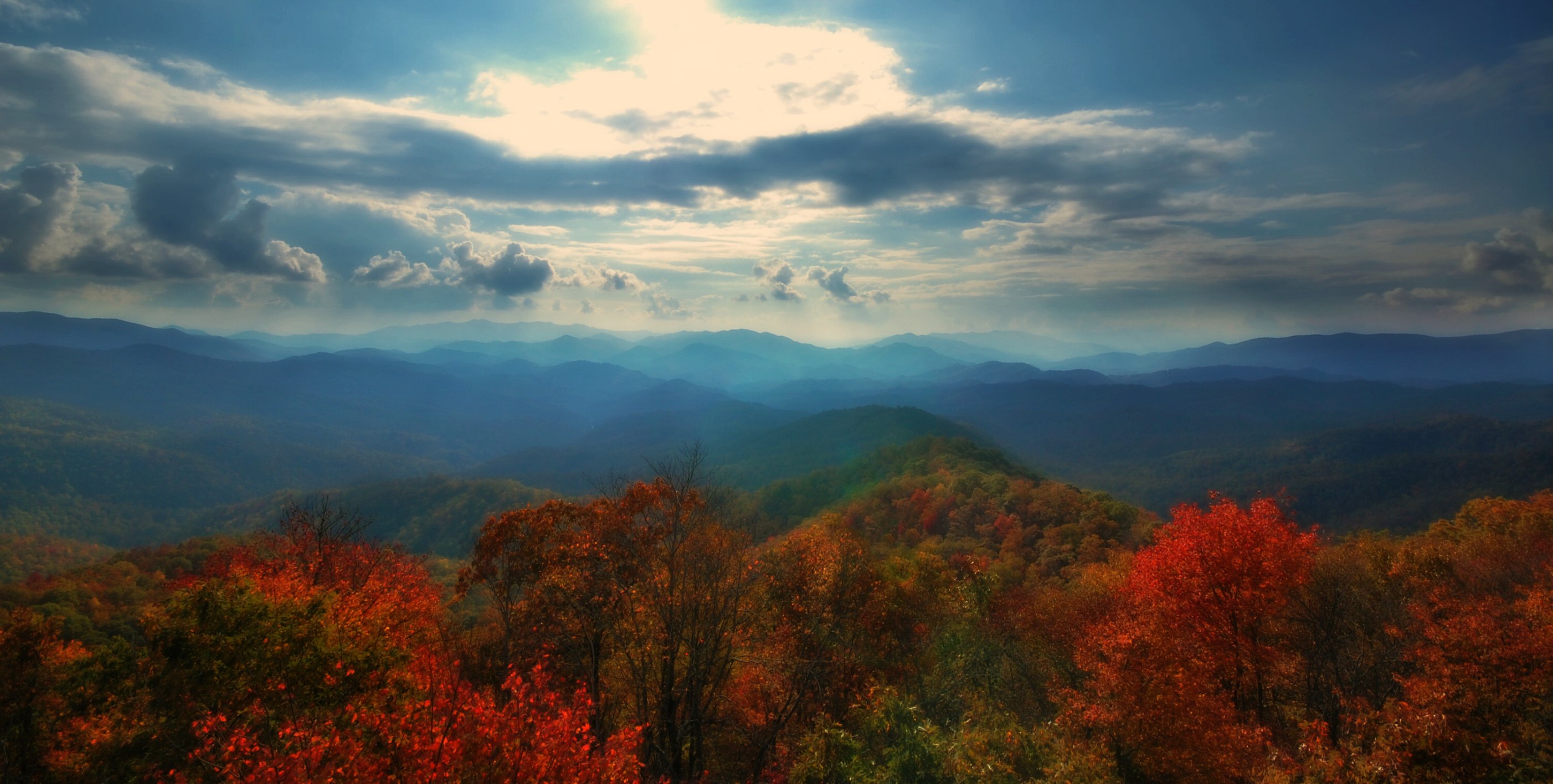
West View from Wesser Bald Observation Tower
View from Wayah Bald Tower
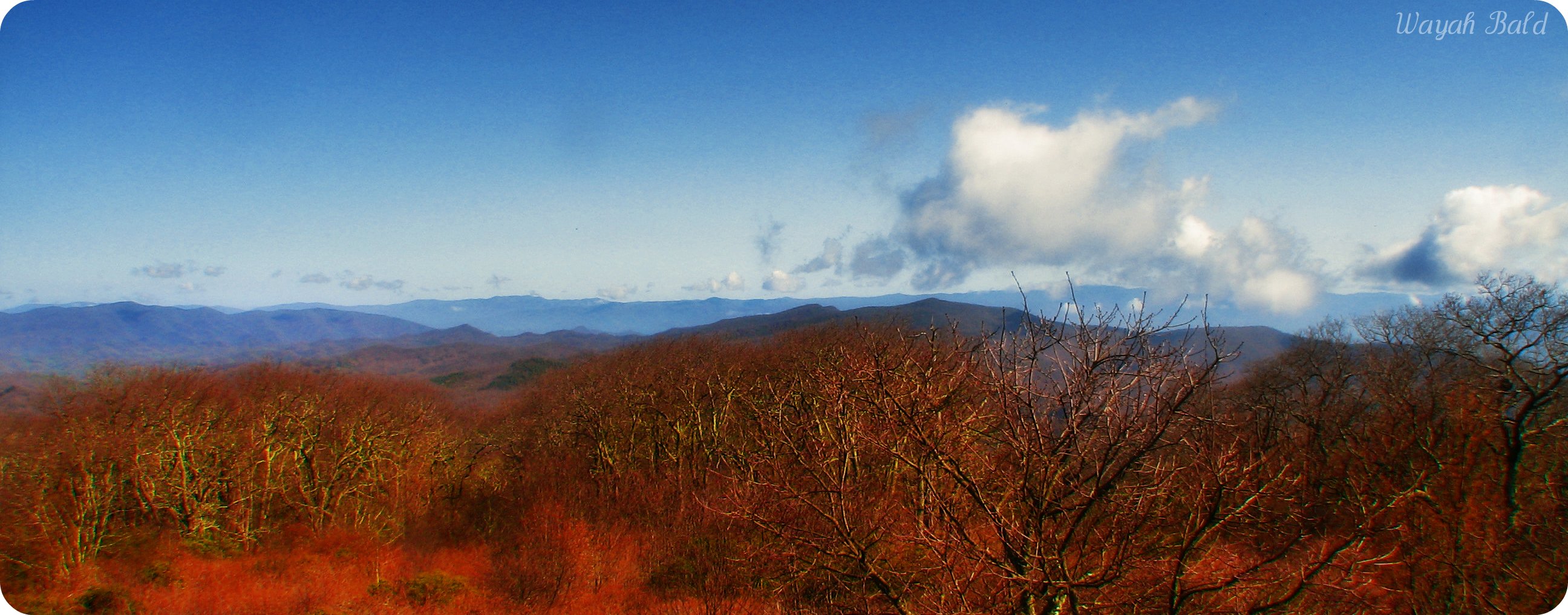
Wayah Bald
82-140_View_from_Wayah_Bald_Nantahala_National_Forest_NC

Wayah Bald Fire Tower - Franklin, North Carolina (HDR)
View from Wesser Bald
Wesser Bald Lookout Tower
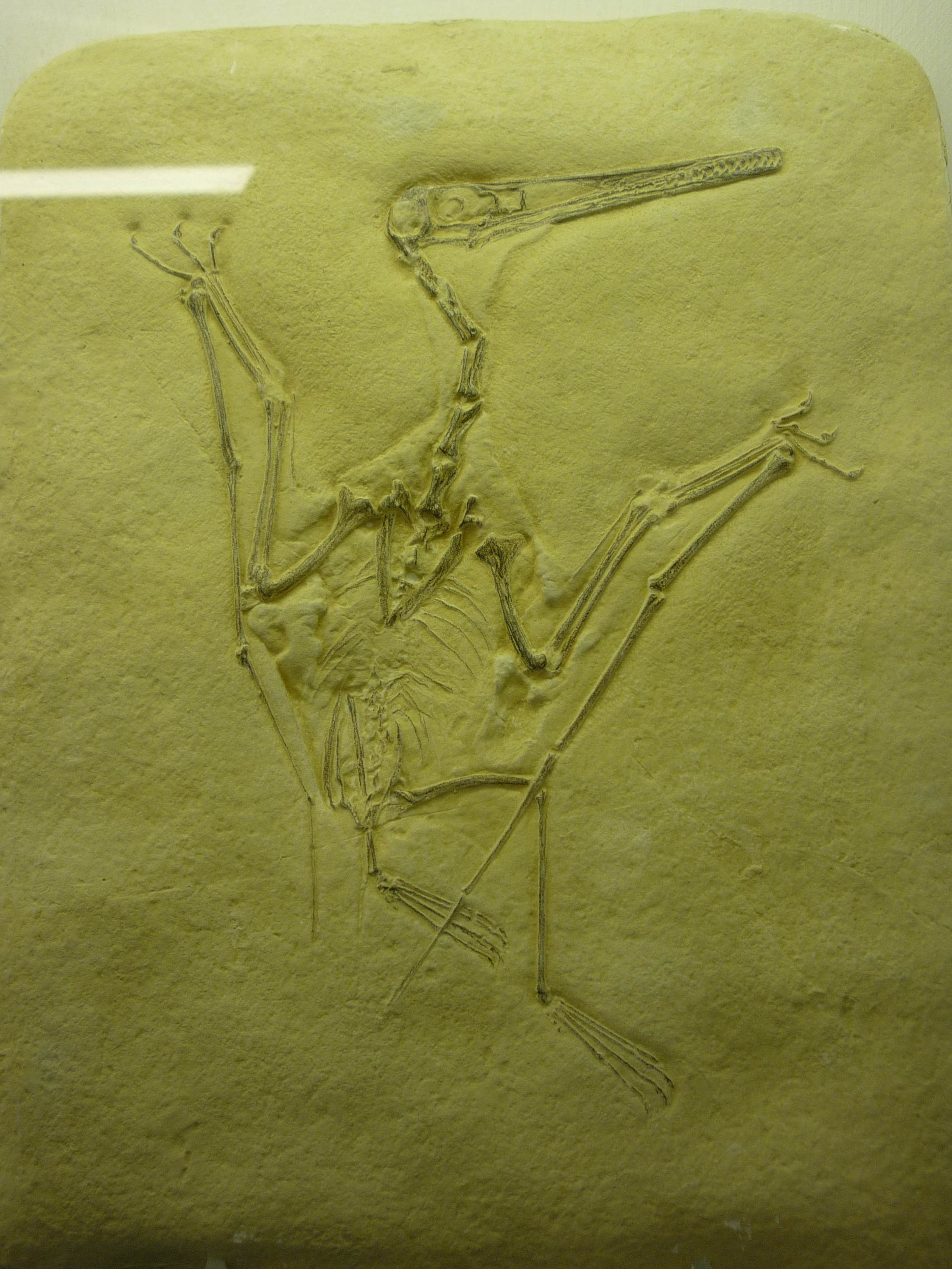
bird-like fossil

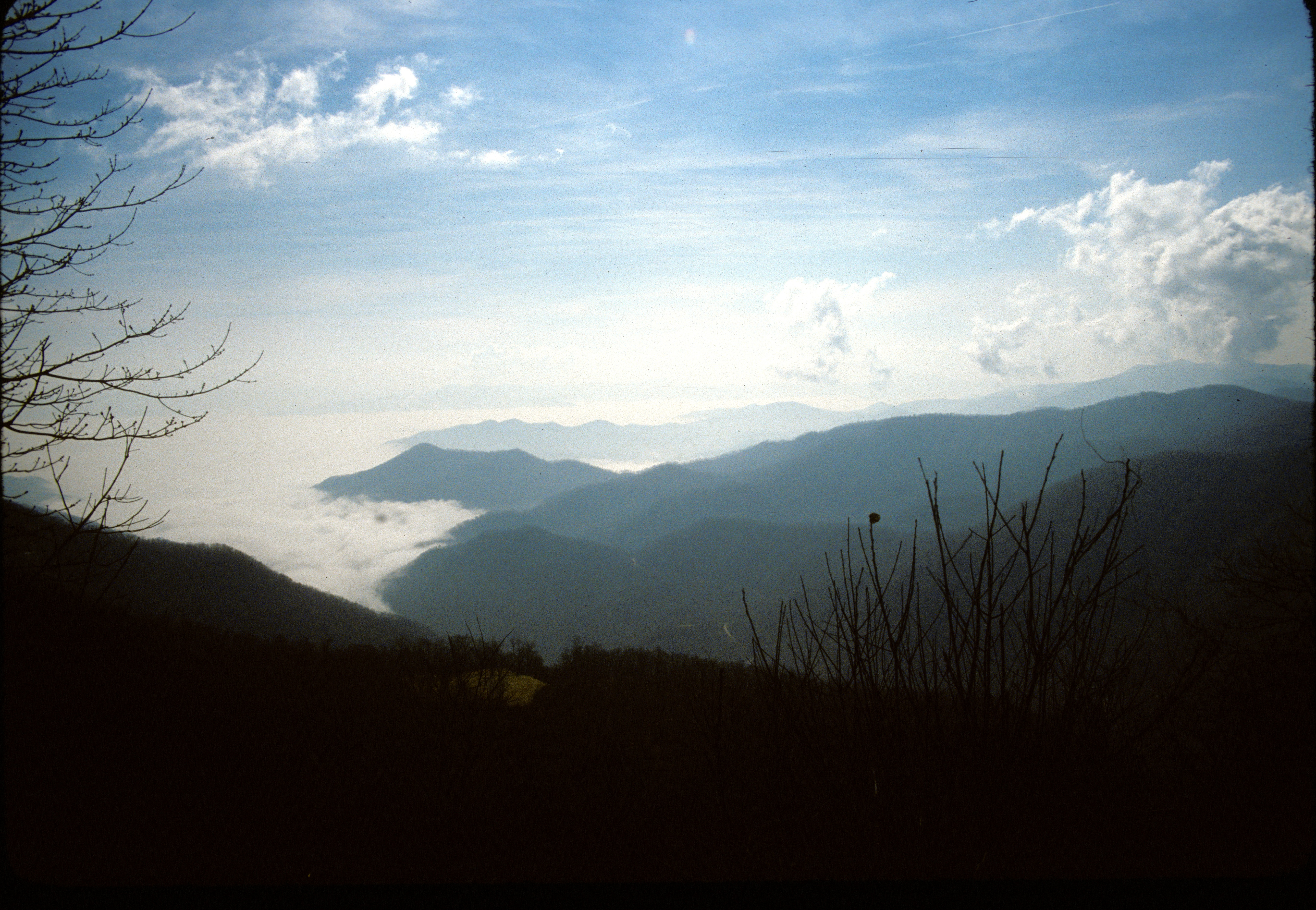
Between the river and the fog
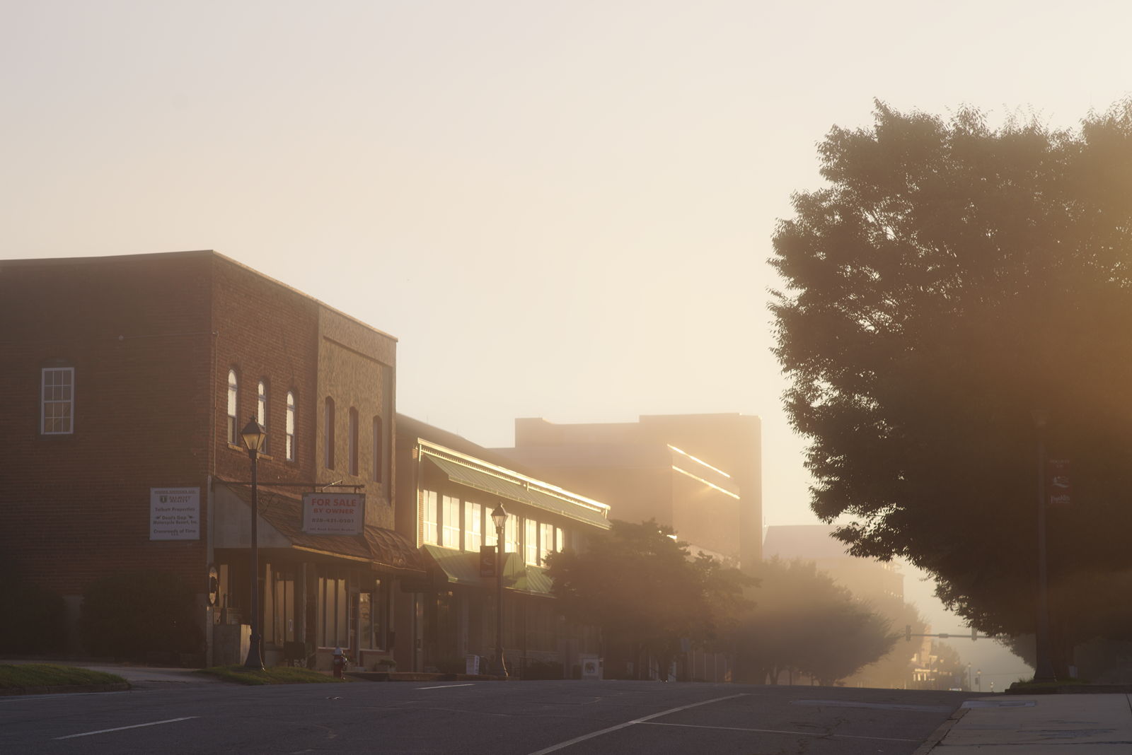
Morning on Main Street
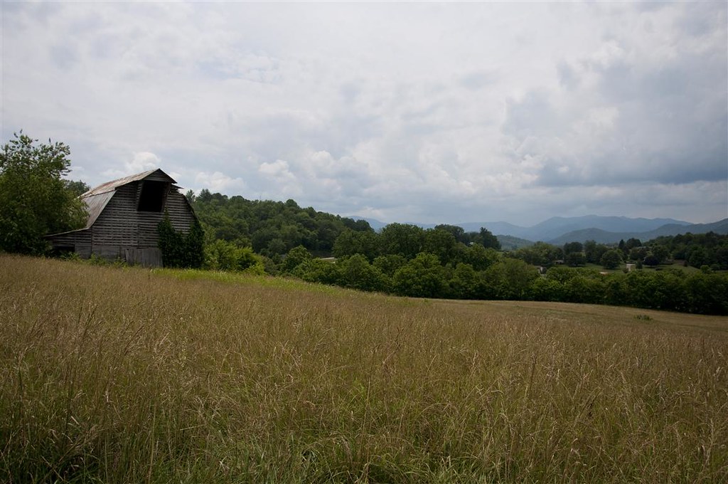
Fields of Gold | Franklin, NC
Topiary garden

Rufus Morgan Falls
Wesser Bald Jeep Trail
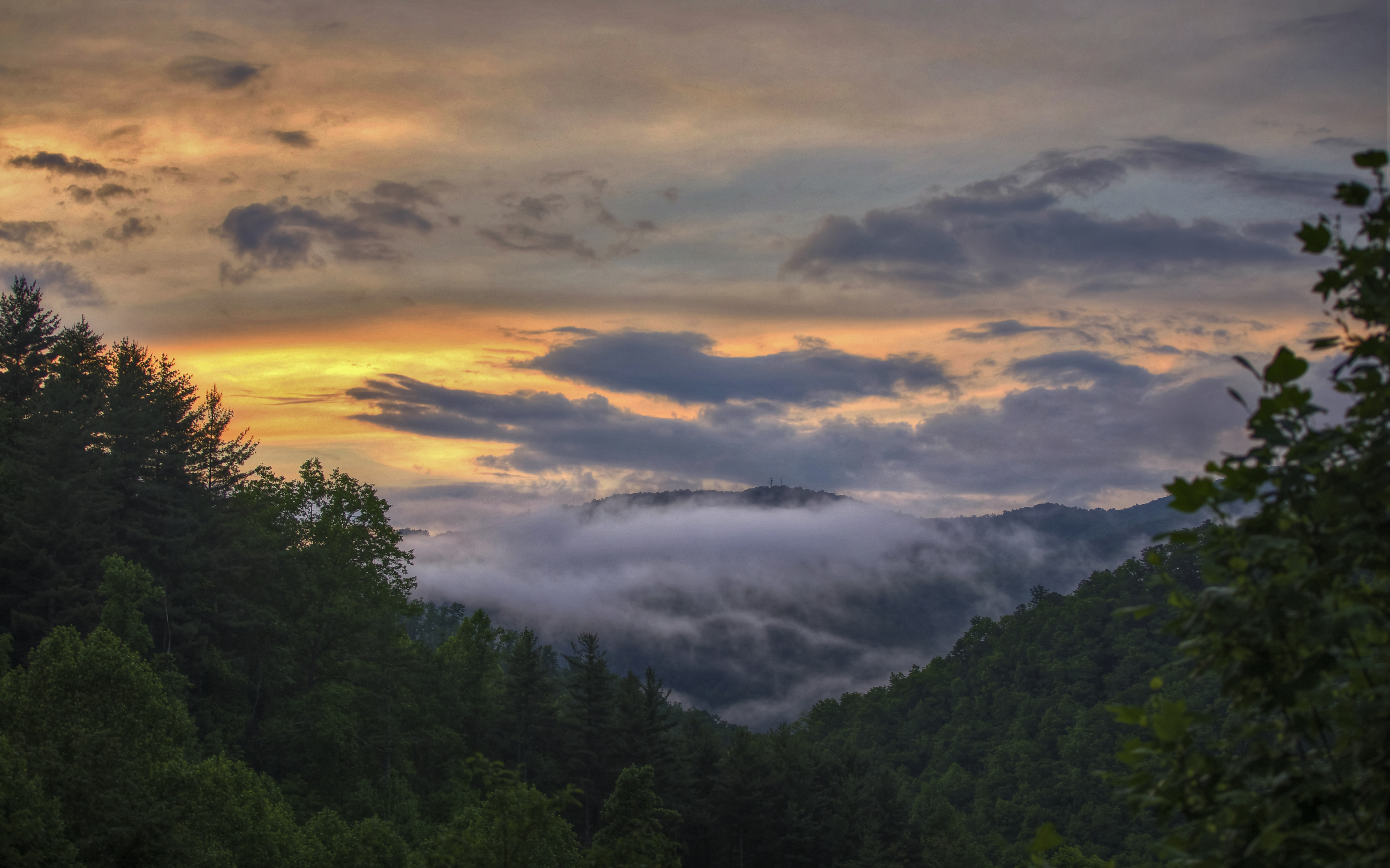
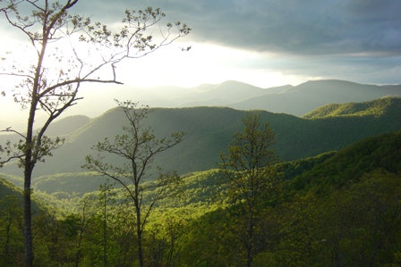
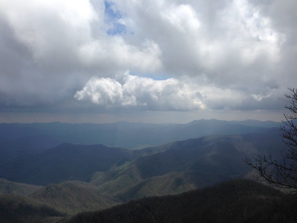
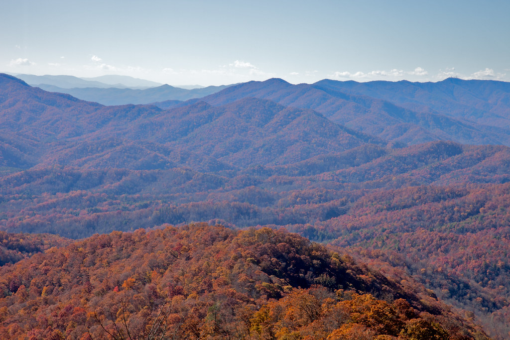
Smoky Mountains
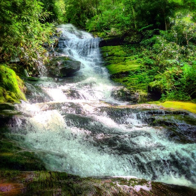
Alarka Falls #alarkafalls #brysoncity #wnc #ncwaterfalls #waterfallpics #waterfallhiking #waterfallphotography #iphotography #igersoftheday #828isgreat #blueridgecountry
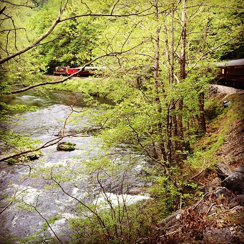
Train tour of the Great Smoky Mts

Big Laurel Falls #franklin #standingindian #appalachia #blueridgecountry #welovenc #we_see_wnc #wilderness_culture #biglaurelfalls #diamondbrand_outdoors #cmc100challenge #stream #falls #explore #westernnorthcarolina #landofwaterfalls

Great Smoky Mountains of NC.
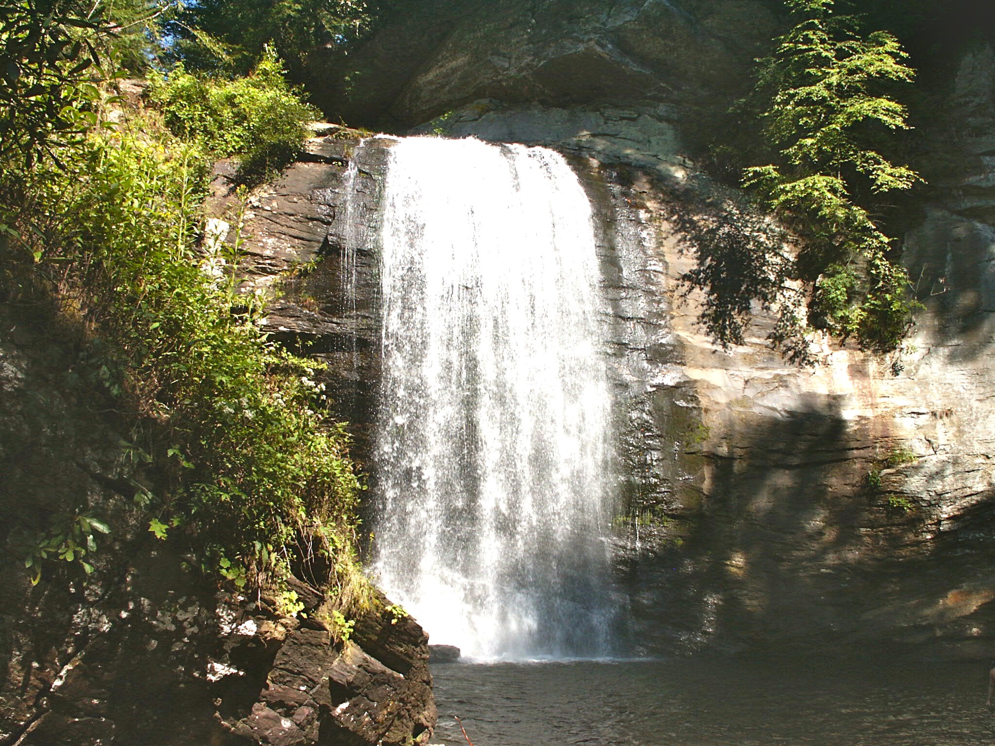
Looking Glass Falls, Pisgah National Forest, NC

2013-09-28 17.08.41
Wesser Bald Observation Tower - Macon County, North Carolina (HDR)

Rufus Morgan Trailhead-8426
2013-09-28 17.08.33
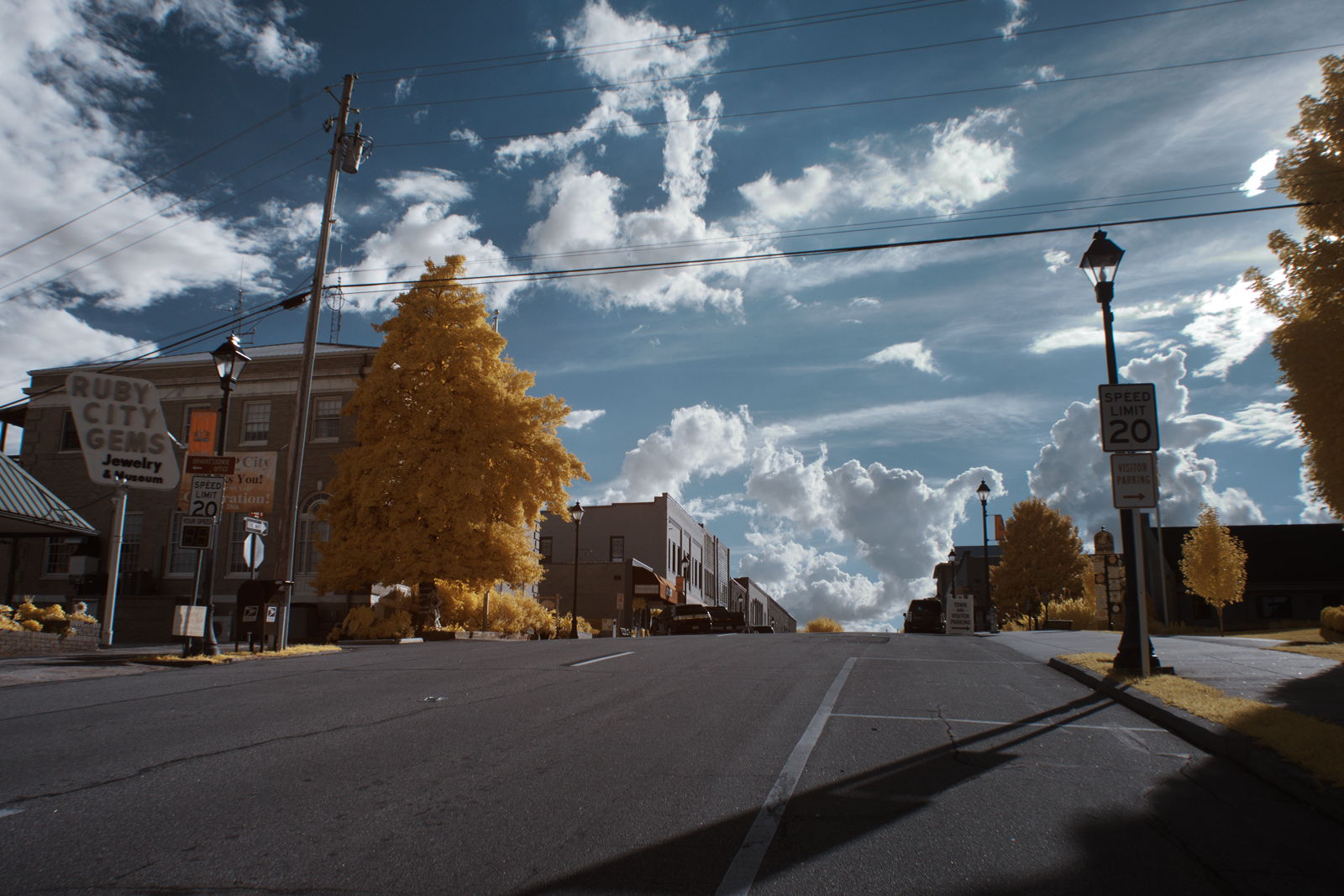
Ruby City
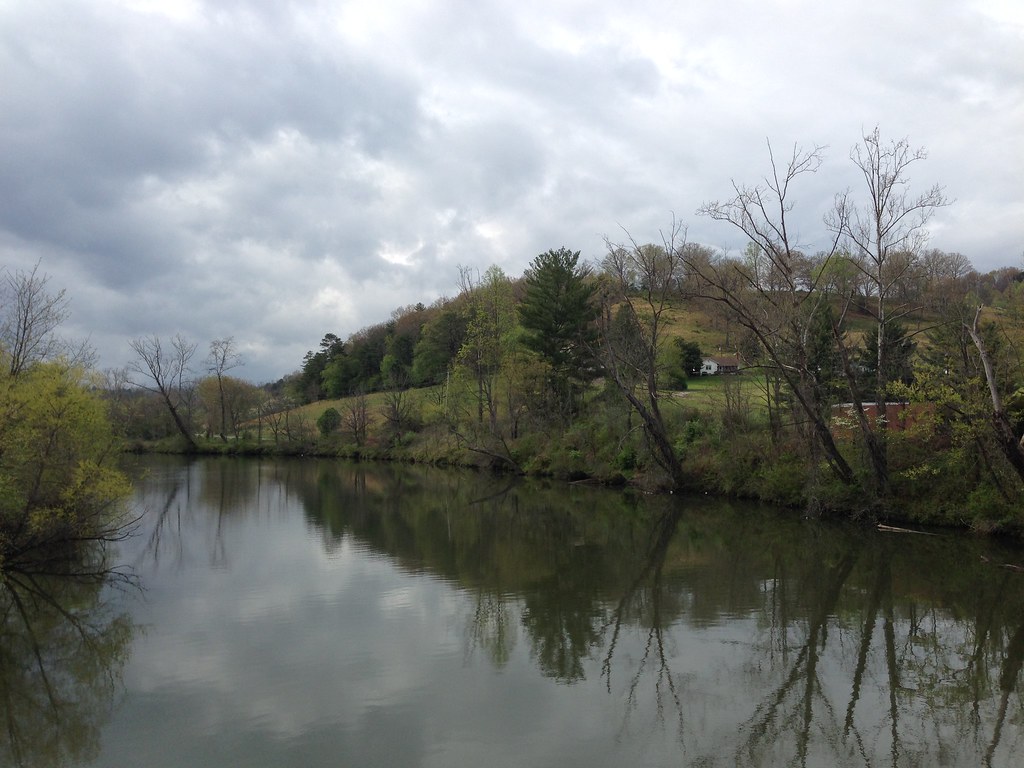
Little Tennessee River
Topographic Map of Springbrook Dr, Franklin, NC, USA
Find elevation by address:

Places near Springbrook Dr, Franklin, NC, USA:
266 Springbrook Dr
495 Mccall Cir
155 Spring Blossom Dr
10 Prosperous Point
1241 Airport Rd
479 Wedgewood Rd
746 Dellwood Rd
87 Cottontail Ln
238 Bandarosa Dr
329 Bennett Ridge Rd
Rose Creek Cove Road
Lloyd Tallent Road
Judd Duvall Lane
162 Bennett Ridge Rd
130 Hougie Heaven Ln
456 Judd Duvall Ln
456 Judd Duvall Ln
398 Judd Duvall Ln
657 Jacobs Branch Rd
Trimont Lake Road
Recent Searches:
- Elevation of Lumagwas Diversified Farmers Multi-Purpose Cooperative, Lumagwas, Adtuyon, RV32+MH7, Pangantucan, Bukidnon, Philippines
- Elevation of Homestead Ridge, New Braunfels, TX, USA
- Elevation of Orchard Road, Orchard Rd, Marlborough, NY, USA
- Elevation of 12 Hutchinson Woods Dr, Fletcher, NC, USA
- Elevation of Holloway Ave, San Francisco, CA, USA
- Elevation of Norfolk, NY, USA
- Elevation of - San Marcos Pass Rd, Santa Barbara, CA, USA
- Elevation of th Pl SE, Issaquah, WA, USA
- Elevation of 82- D Rd, Captain Cook, HI, USA
- Elevation of Harlow CM20 2PR, UK