Elevation of Spring Meadow Ln, Granger, IN, USA
Location: United States > Indiana > St. Joseph County > Clay Township > Granger >
Longitude: -86.171420
Latitude: 41.7512295
Elevation: 251m / 823feet
Barometric Pressure: 98KPa
Elevation Map:
Satellite Map:
Related Photos:

Stormy River

Wilson Shirt Factory Revisited

The view from my bike while doing an eight mile ride before work. Glad to be working out and getting healthy again!

Friday Autumn River View

Street View

sun sets on a win

From a Friends Point of View

Wilson Bros. Shirt Co.

The Chapin House, Niles, MI

Wilson Shirt Factory
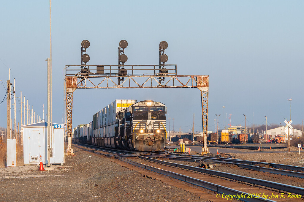
NS 205 headed west past the signals at CP 426
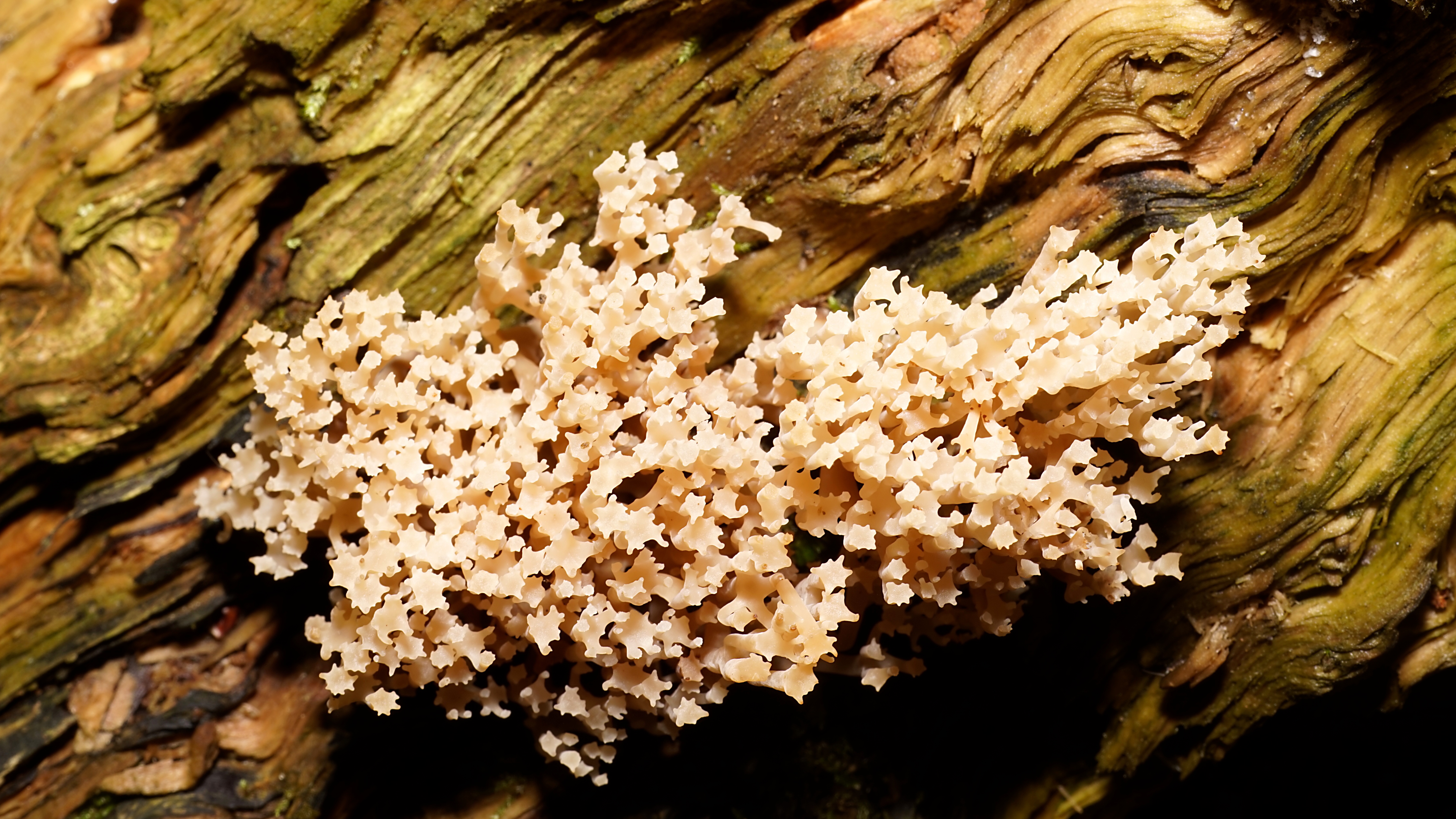
Artomyces pyxidatus

Hesburgh Library's mural
Taking the long view (explored)

Wilson Shirt Factory

Your Personal "Flying Carpet"
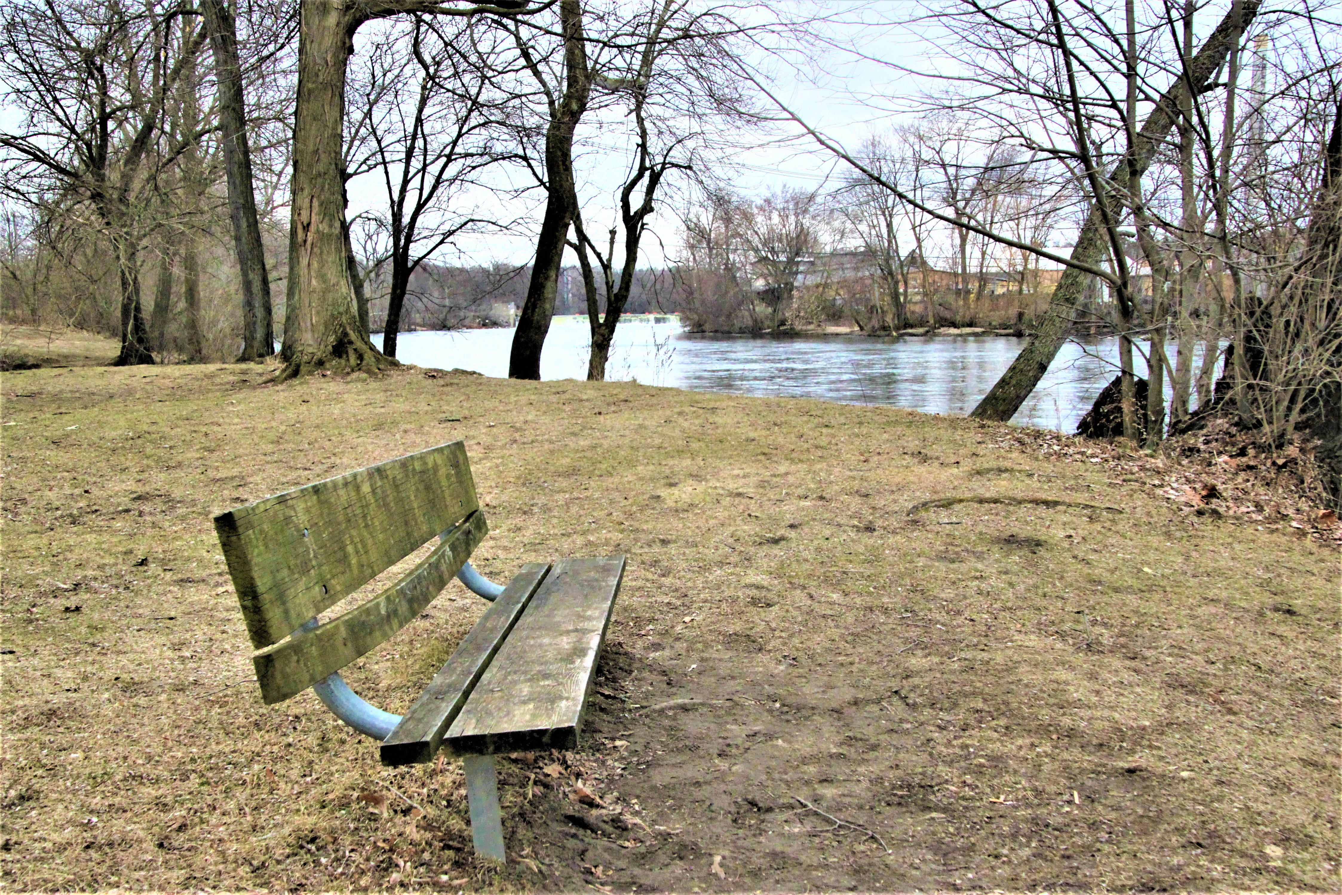
Riverside Bench

Old Pier

Niles, MI Chamber of Commerce

Future Homes

What happens when AV nerds grow up...

South Bend in lights

The view downriver

Sunset over the river
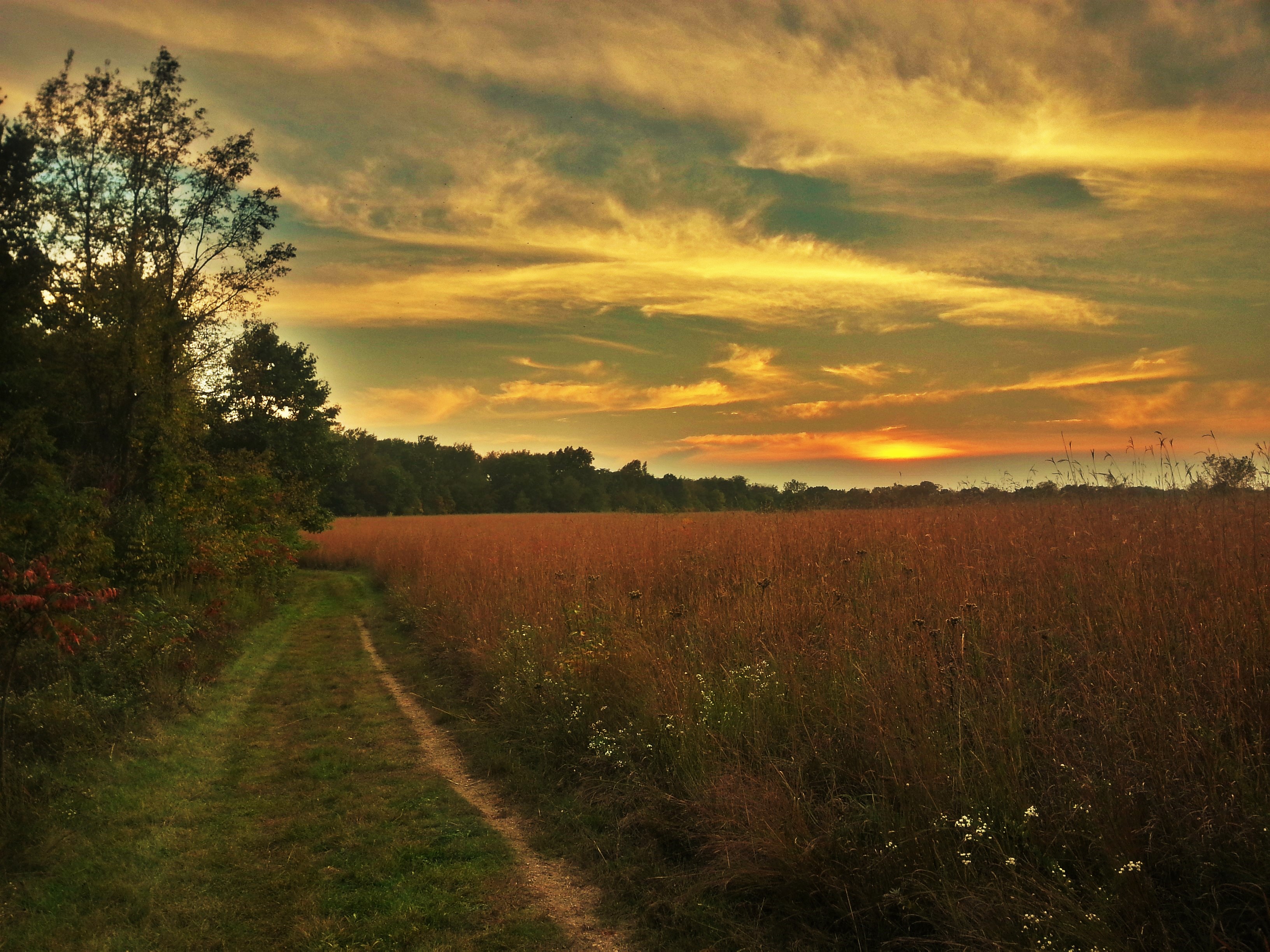
Sunset @ Boot Lake Nature Preserve

Winter is Back

Dowagiac River

Interesting Architecture

First Real Snow

Spooky Tree

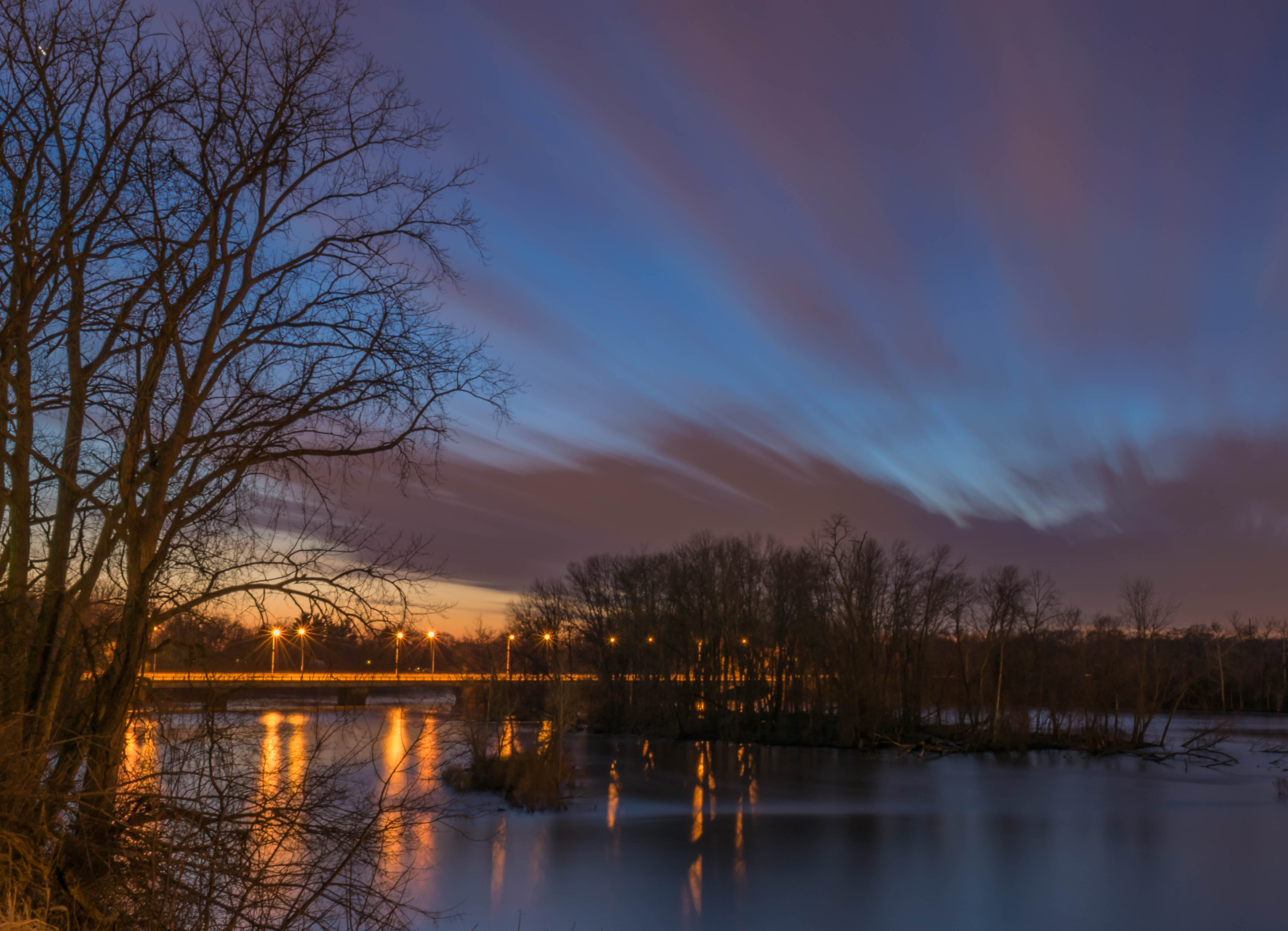
Evening Skies

Fall Colors @ Boot Lake Nature Preserve

Before the Snow

Autumn @ Boot Lake Nature Preserve
Leia in the woods
Today at ND.
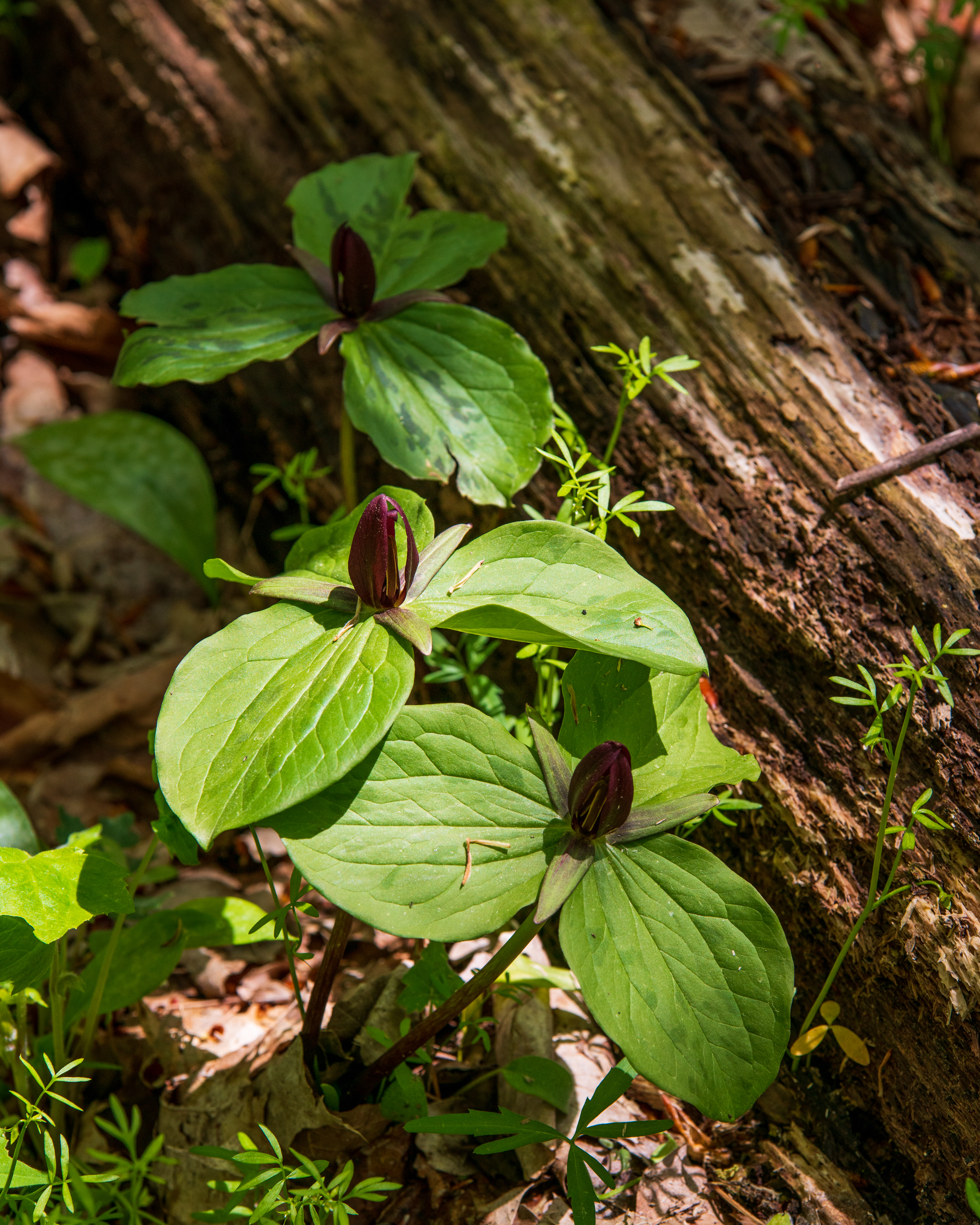
Toad Shade (Trillium)

River cruise snap

Sunset @ Boot Lake Nature Preserve

Spillway ice
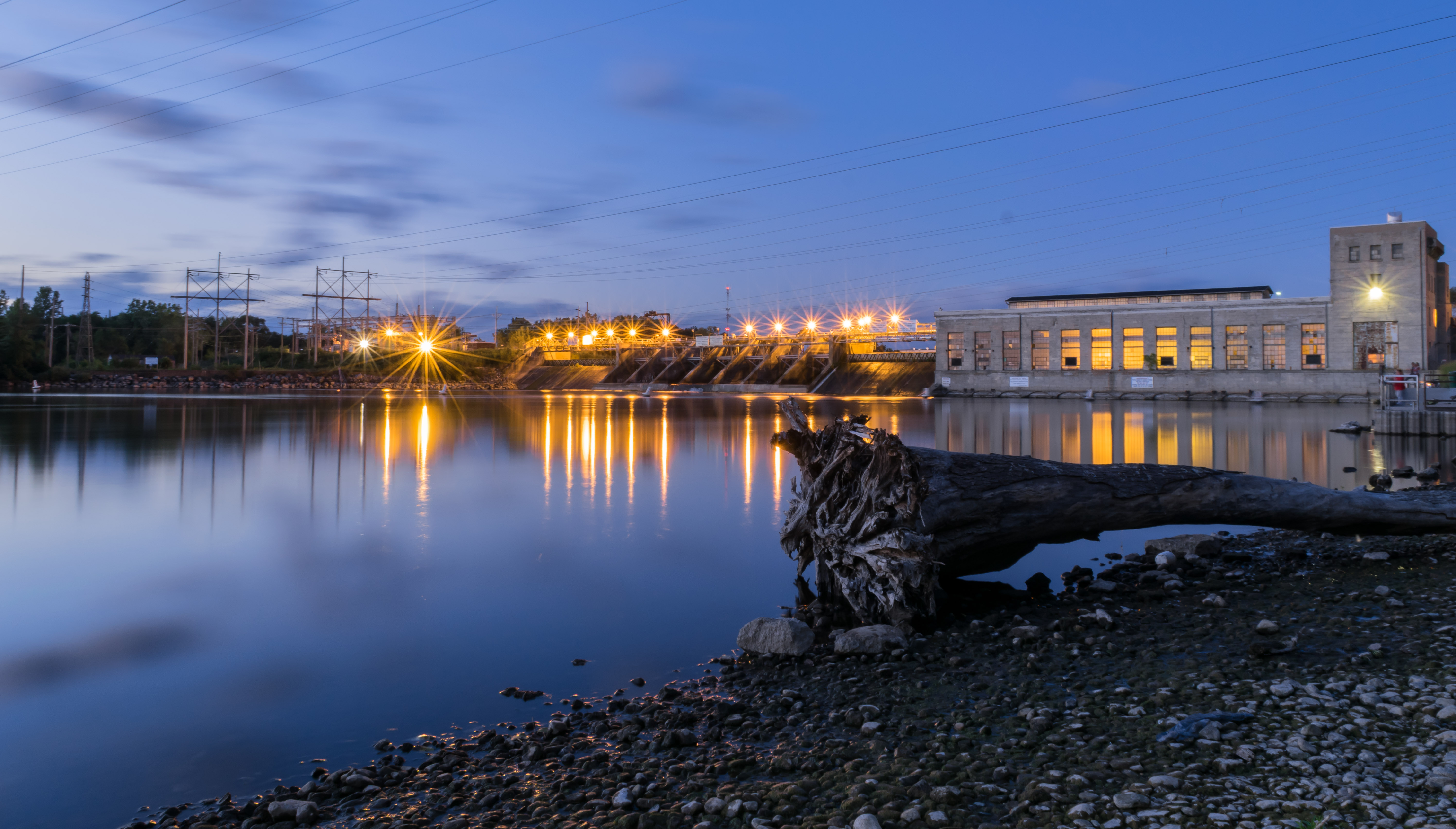
30 seconds of dam reflections

Rushing past the ice
Topographic Map of Spring Meadow Ln, Granger, IN, USA
Find elevation by address:

Places near Spring Meadow Ln, Granger, IN, USA:
Summit Hill Court
14215 Worthington Dr
51105 Lexingham Dr
Milton Township
13733 Bridlewood Ct
Swanson Highlands
52691 Helvie Dr
530 Tanglewood Ln
70938 Jones Dr
Safelite Autoglass
Clay Township
S Bend Ave, South Bend, IN, USA
53280 Placid Dr
South Bend, IN, USA
South Bend, IN, USA
West Jefferson Apartments
University Of Notre Dame
1215 E Bertrand Rd
Niles, MI, USA
732 Cherry Tree Ln
Recent Searches:
- Elevation of Elwyn Dr, Roanoke Rapids, NC, USA
- Elevation of Congressional Dr, Stevensville, MD, USA
- Elevation of Bellview Rd, McLean, VA, USA
- Elevation of Stage Island Rd, Chatham, MA, USA
- Elevation of Shibuya Scramble Crossing, 21 Udagawacho, Shibuya City, Tokyo -, Japan
- Elevation of Jadagoniai, Kaunas District Municipality, Lithuania
- Elevation of Pagonija rock, Kranto 7-oji g. 8"N, Kaunas, Lithuania
- Elevation of Co Rd 87, Jamestown, CO, USA
- Elevation of Tenjo, Cundinamarca, Colombia
- Elevation of Côte-des-Neiges, Montreal, QC H4A 3J6, Canada