Elevation of Spring Creek Rd, Sharps Chapel, TN, USA
Location: United States > Tennessee > Union County > Sharps Chapel >
Longitude: -83.818239
Latitude: 36.359225
Elevation: 389m / 1276feet
Barometric Pressure: 97KPa
Elevation Map:
Satellite Map:
Related Photos:

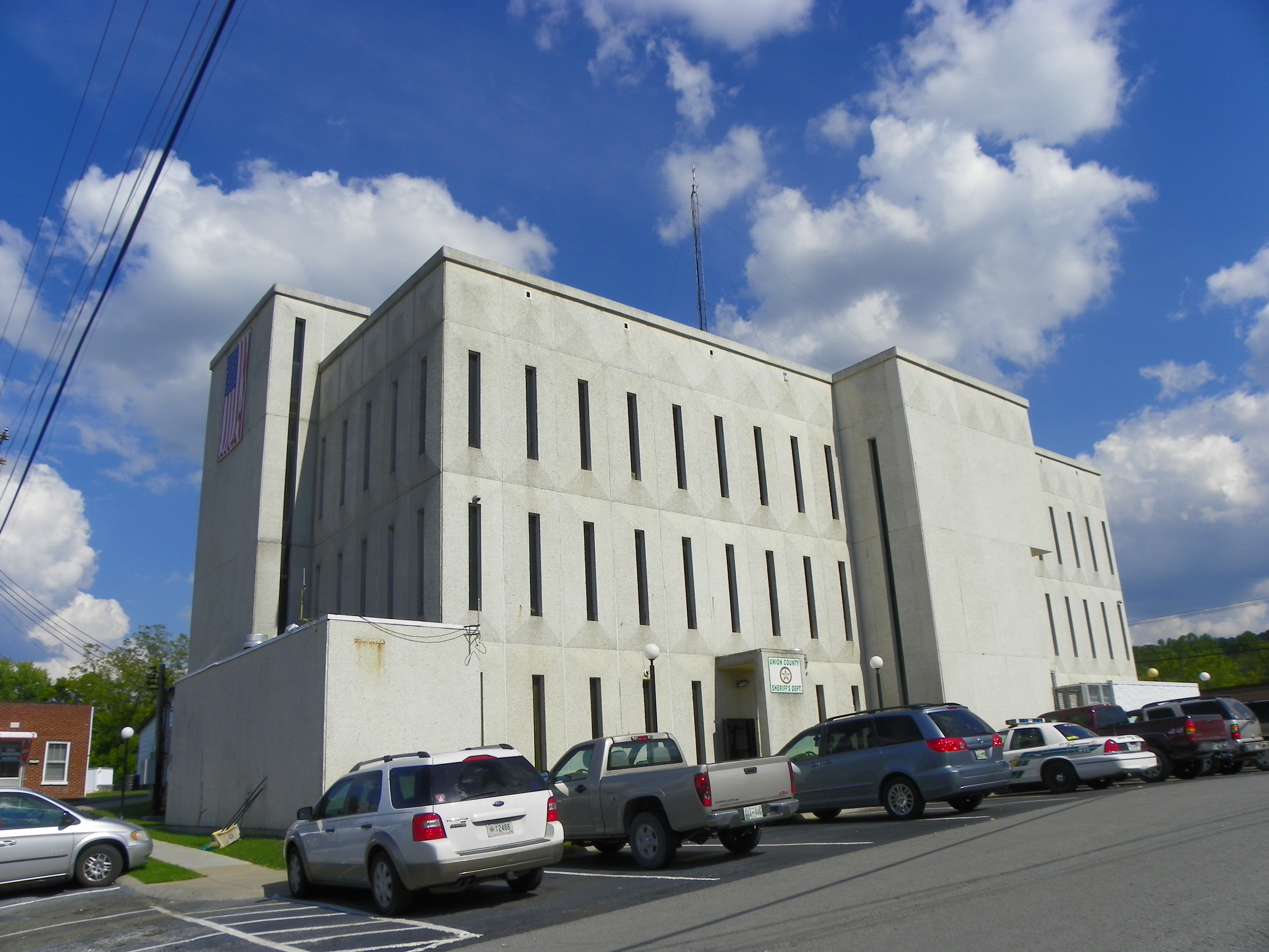
Union County, TN Courthouse - Maynardville, TN
Union County Courthouse - Rear View
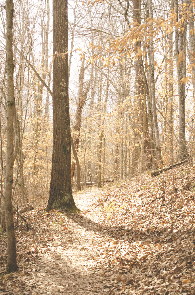
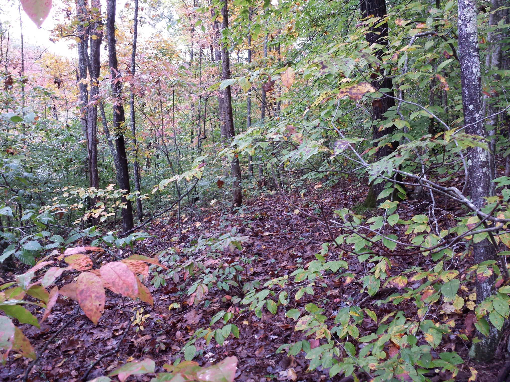
On the Path

Swamp Rose Mallow 110-1045_IMG.jpg
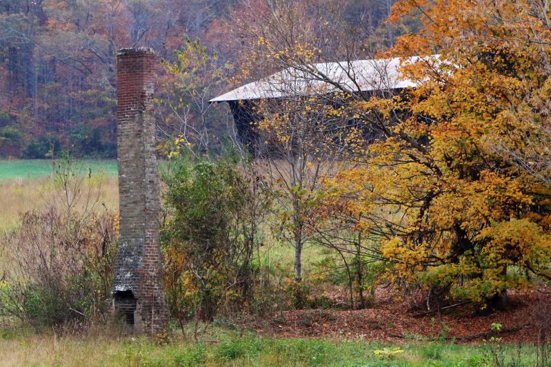
Stand Alone Fireplace
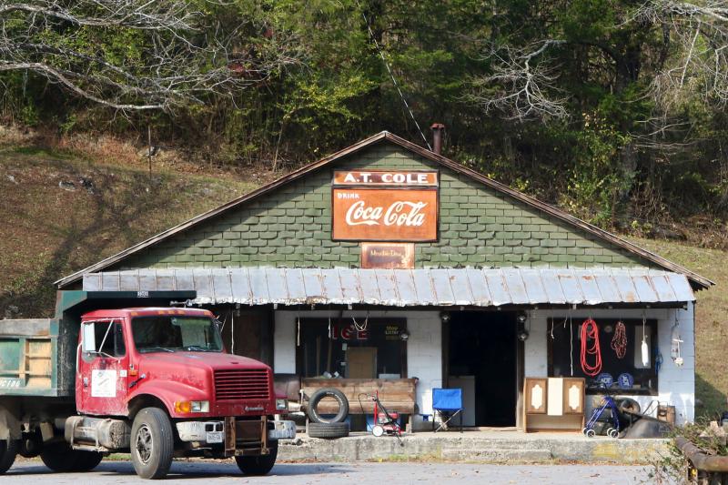
Old Tennessee Store
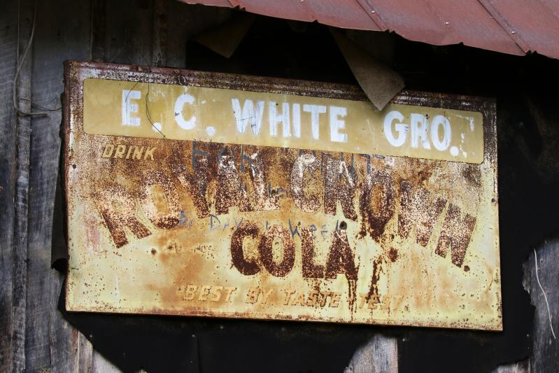
Tennessee Royal Crown Cola Sign
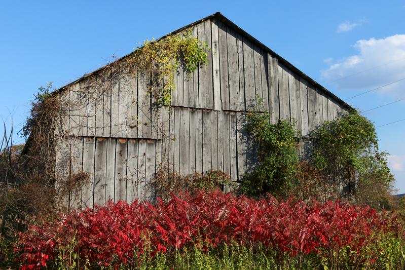
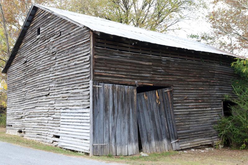
Tennessee Barn
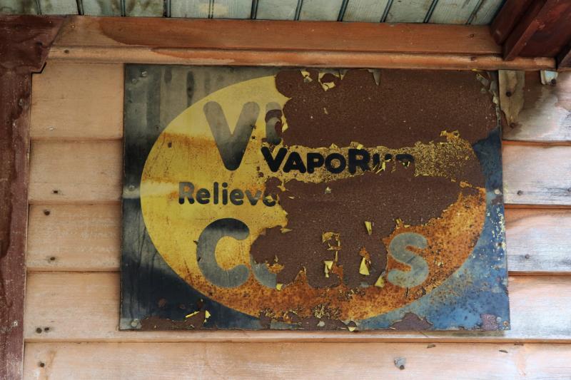
VICKS VAPORUB SIGN! EASES MISERIES OF COLDS Sign
Tennessee Country Store

Tennesee Cattle Ranch

Tennesee Barn
Tennesee Barn

Tennesee Barn
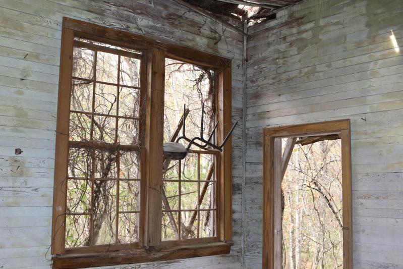
Old Tennessee One Room Schoolhouse Inside

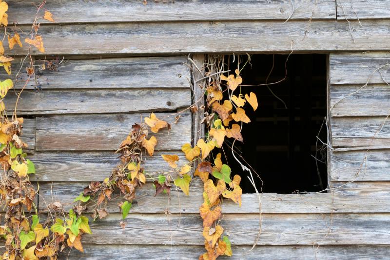
Tennesee Ivy Covered Barn
Tennesee Ivy Covered Barn
Tennesee Barn

Tennesee Church
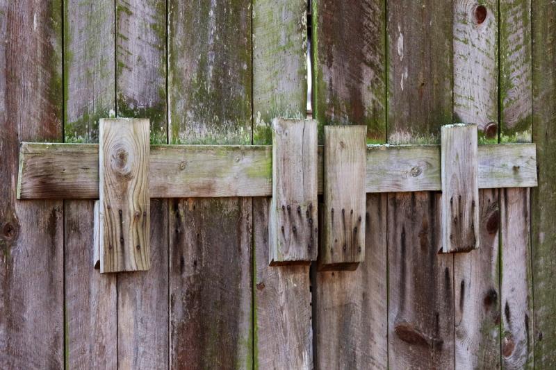
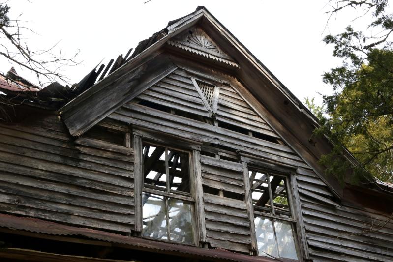
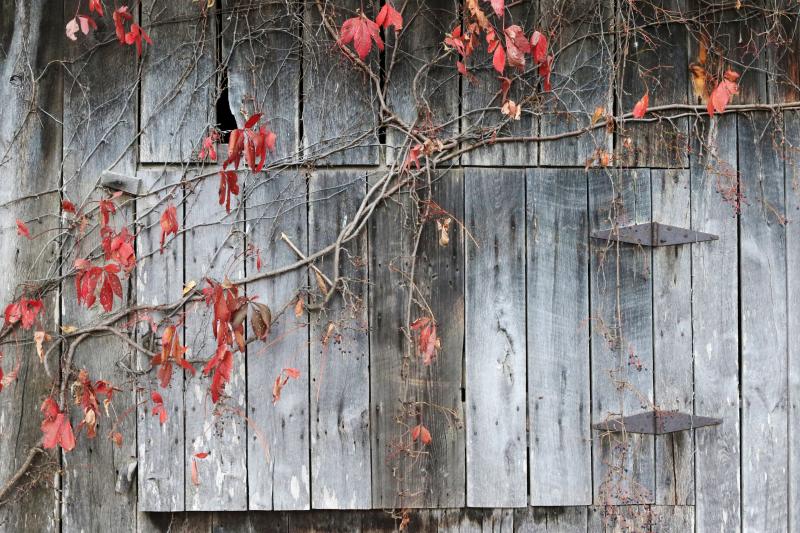
Old Tennessee Barn Door
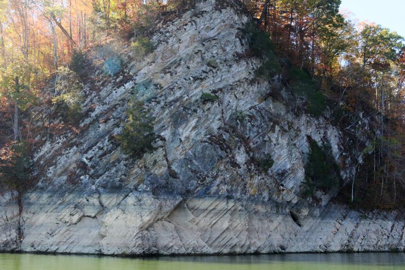
Rock Wall on Norris Lake TN

Just because it got like 60 degrees today and felt just like spring!!!☀️????????
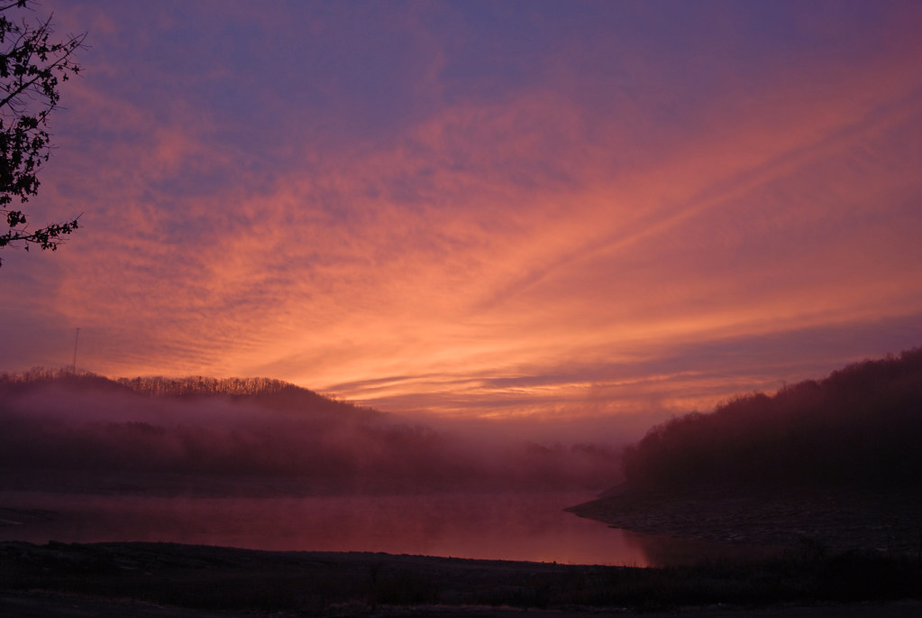
Sunrise over norris lake

Norris Lake

Why we love Sunset Bay. June 17, 2016

Last Cove
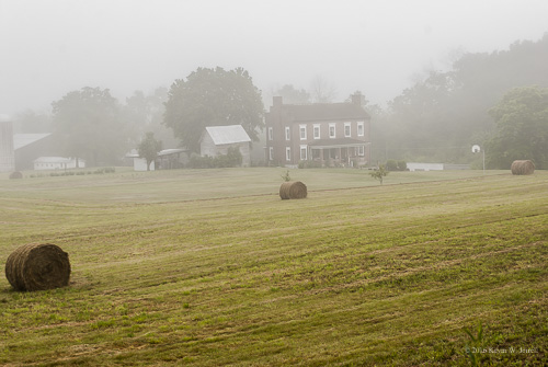
Foggy Morning on the Farm
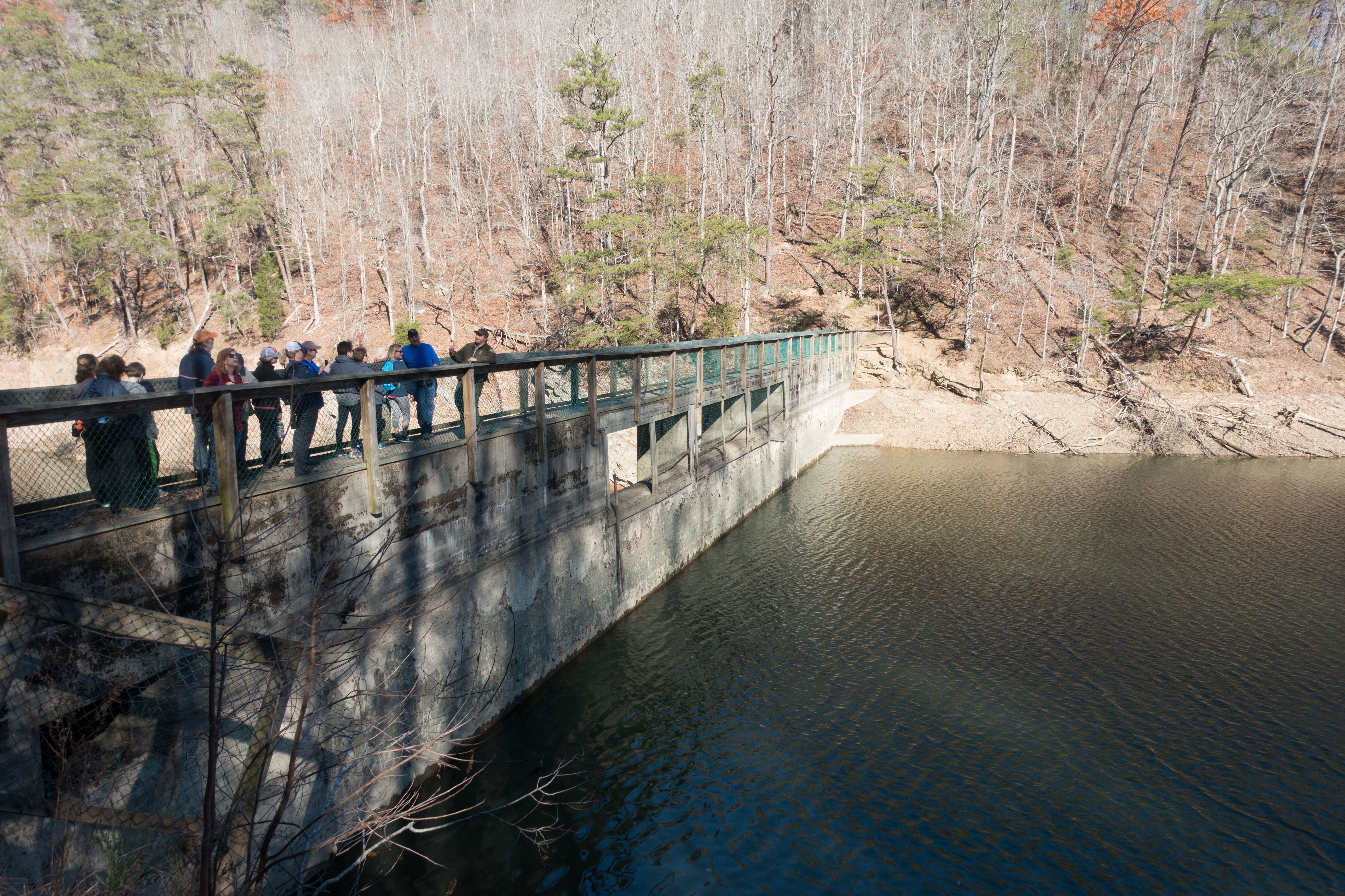
Big Ridge Dam

IMG_2033.JPG
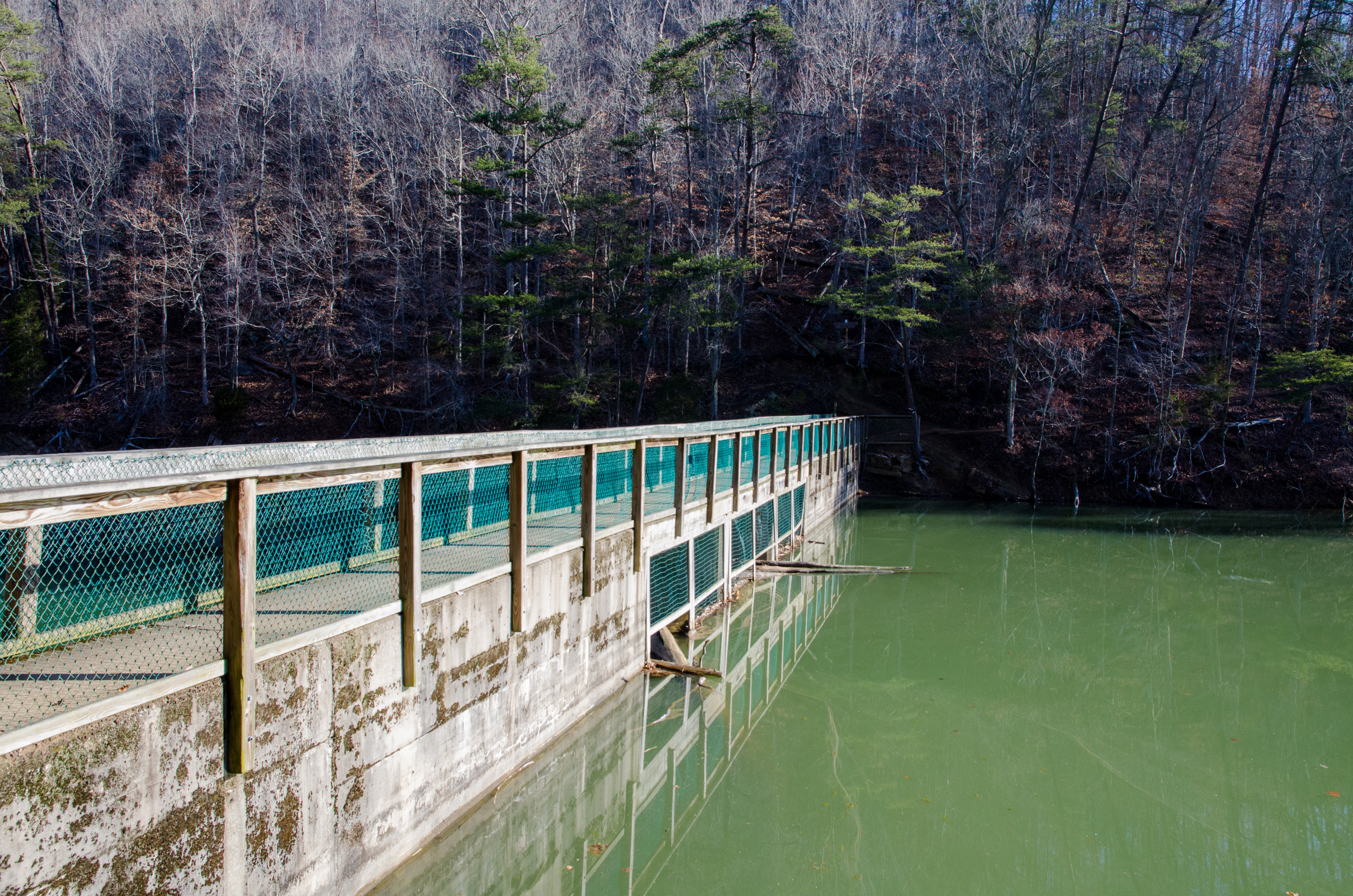
Big Ridge Dam

D_MG_4895-Edit
2014-10-16 10.54.58

Flat Hollow Marina, Norris Lake, Tennessee

Flat Hollow Marina, Norris Lake, Tennessee

2014-10-16 10.54.50

Norris Lake Sunrise

Yellow Flowers
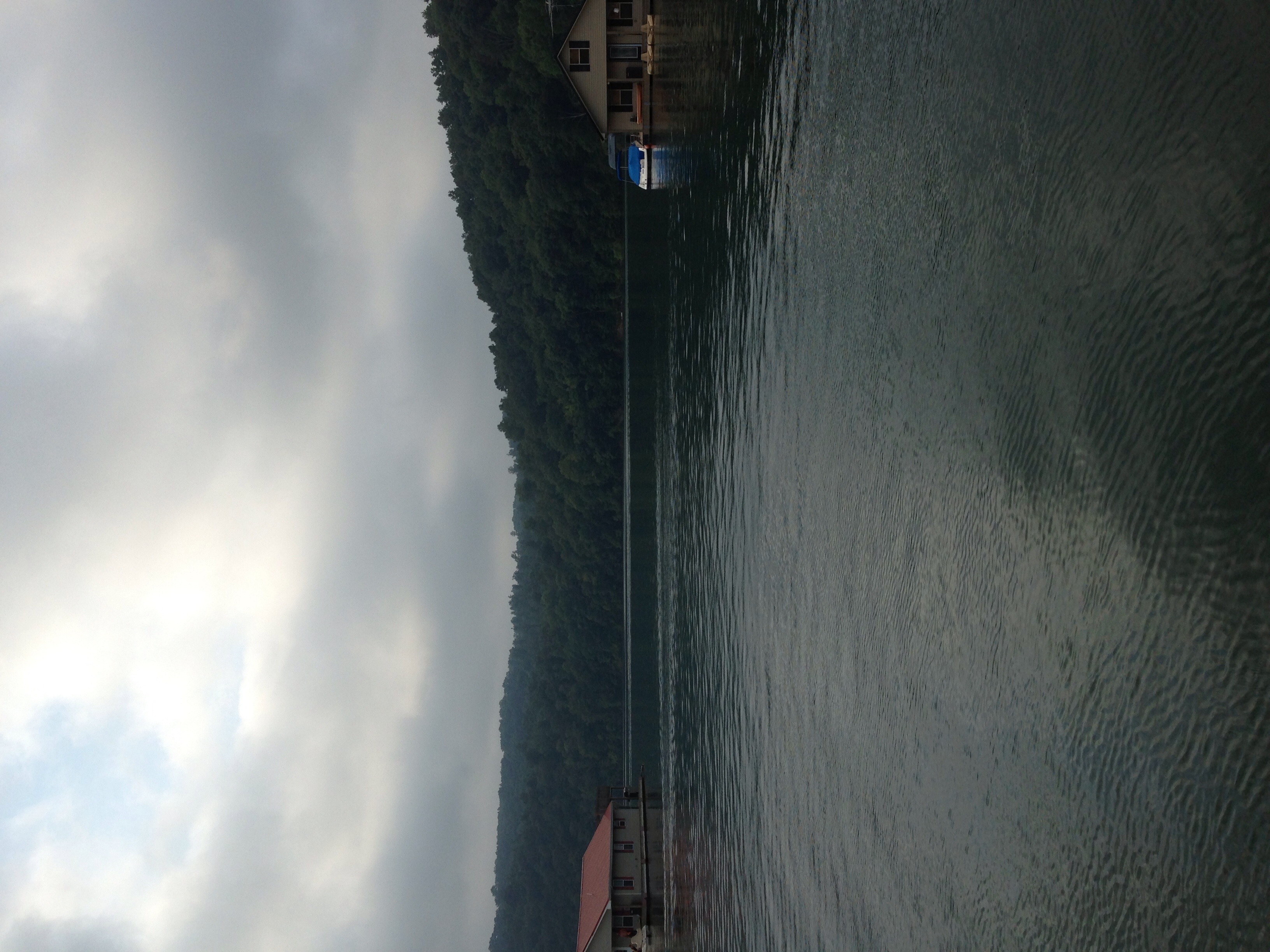
Flat Hollow Marina, Norris Lake, Tennessee
Topographic Map of Spring Creek Rd, Sharps Chapel, TN, USA
Find elevation by address:

Places near Spring Creek Rd, Sharps Chapel, TN, USA:
280 Holloway Rd
Sharps Chapel
Sharps Chapel Road
Serenity Ridge Road
Union County
224 Sugar Limb Rd
236 Sugar Limb Rd
Edith Lane
115 Post Master Rd
Hickory Pointe Lane
606 Russell Brothers Rd
356 Lakeview Dr
109 Blue Diamond Point
Ridgeview Cir, Sharps Chapel, TN, USA
Hickory Valley Rd, Maynardville, TN, USA
112 Lick Skillet Rd
Hickory Valley Rd, Maynardville, TN, USA
174 Keck Cemetery Ln
Lakeview Drive
1983 Hickory Valley Rd
Recent Searches:
- Elevation of Badaber, Peshawar, Khyber Pakhtunkhwa, Pakistan
- Elevation of SE Heron Loop, Lincoln City, OR, USA
- Elevation of Slanický ostrov, 01 Námestovo, Slovakia
- Elevation of Spaceport America, Co Rd A, Truth or Consequences, NM, USA
- Elevation of Warwick, RI, USA
- Elevation of Fern Rd, Whitmore, CA, USA
- Elevation of 62 Abbey St, Marshfield, MA, USA
- Elevation of Fernwood, Bradenton, FL, USA
- Elevation of Felindre, Swansea SA5 7LU, UK
- Elevation of Leyte Industrial Development Estate, Isabel, Leyte, Philippines