Elevation of Sportparkstraße, Wetzlar, Germany
Location: Germany > Hesse > Giessen > Wetzlar >
Longitude: 8.5278643
Latitude: 50.5530023
Elevation: 266m / 873feet
Barometric Pressure: 98KPa
Elevation Map:
Satellite Map:
Related Photos:

Alter jüdischer Friedhof bei Leihgestern
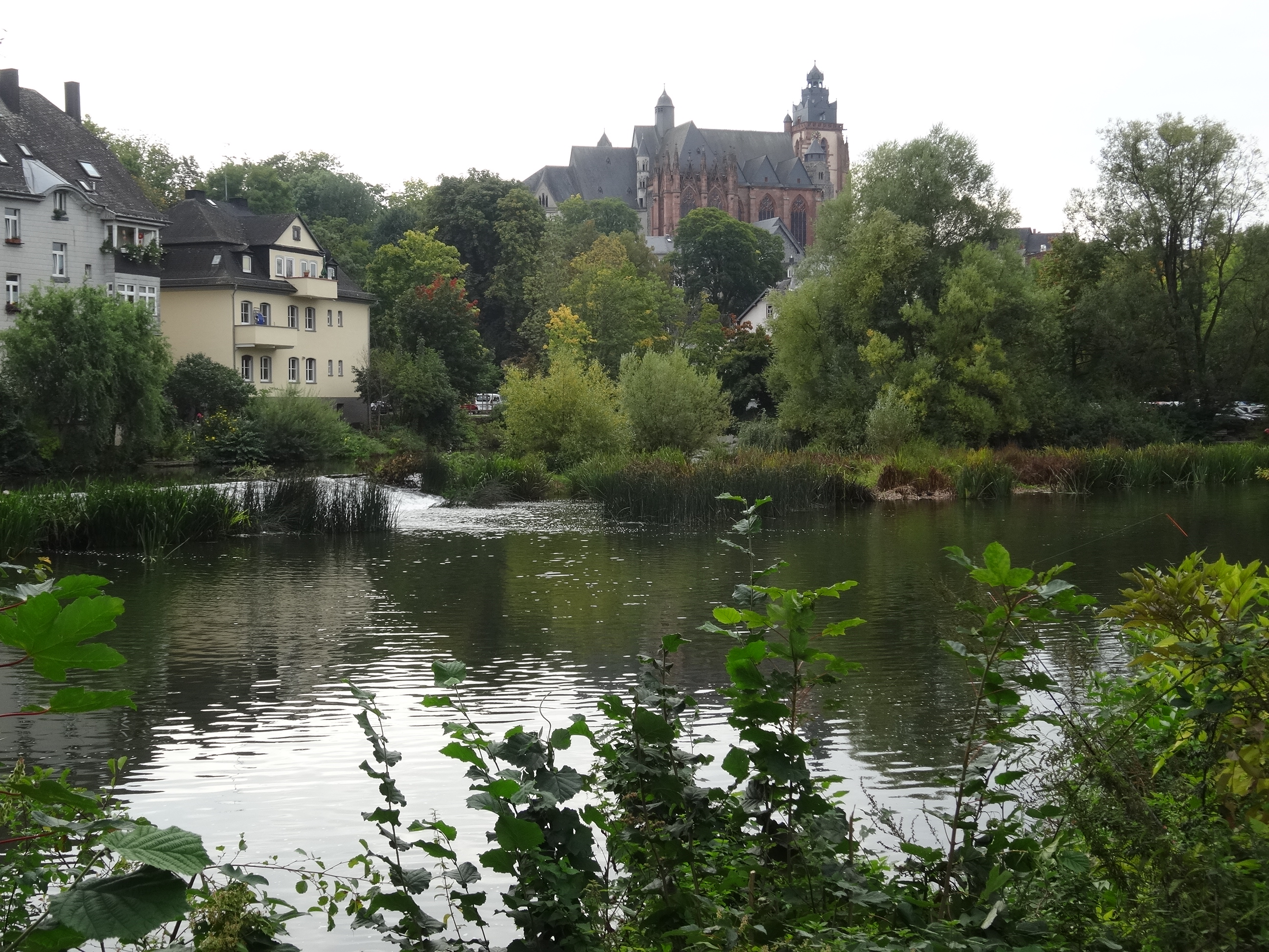
View on Wetzlarer Dom
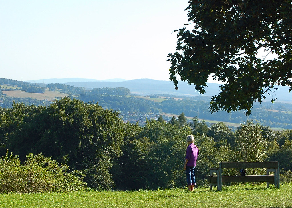
Inspiring view of the Naherholungsgebeit from the Kloster Schiffenberg near Giessen, Germany

sunset over castle

sunset reflection

tree grass cornfield
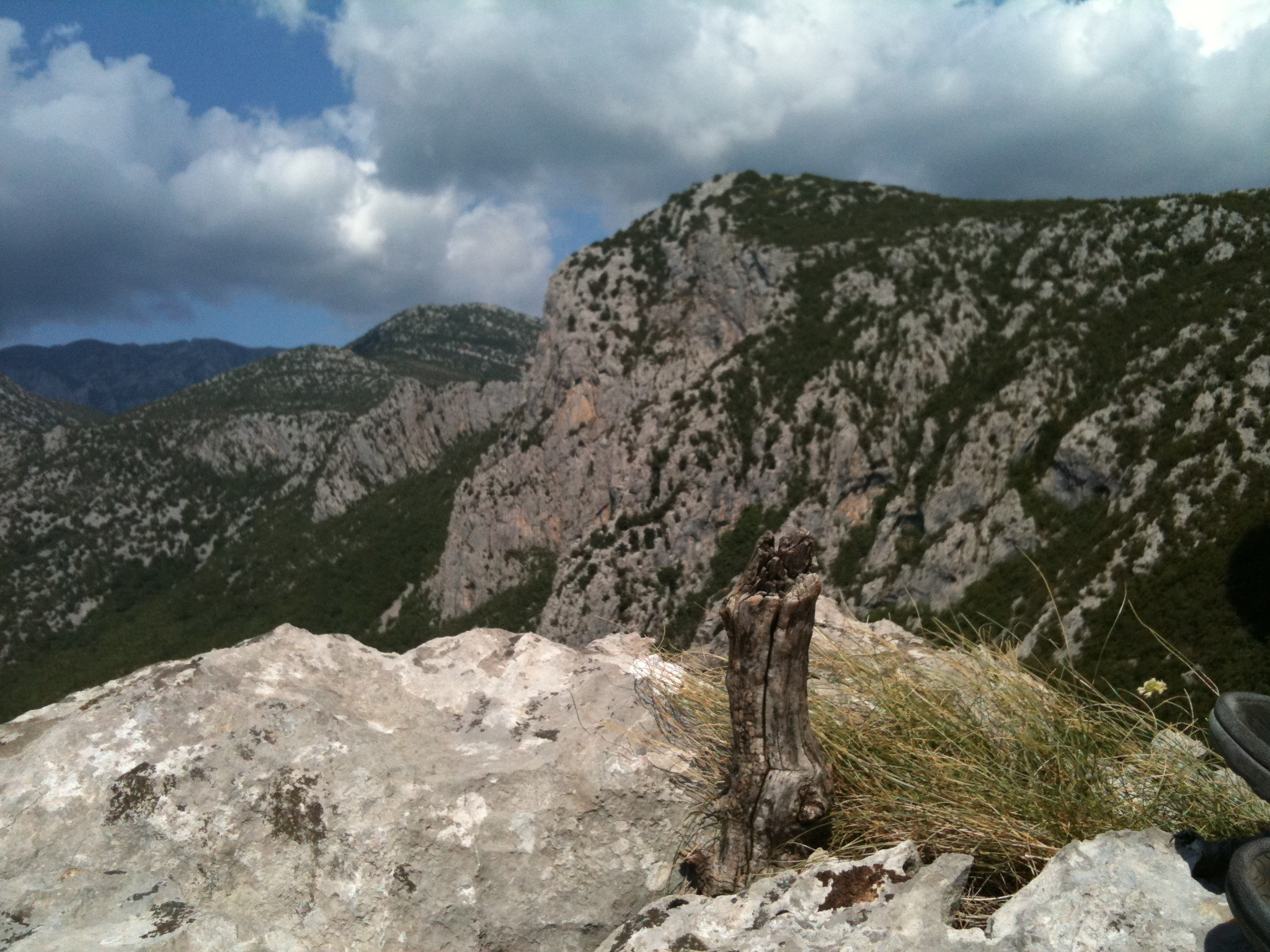
On Top (iPhone pic)
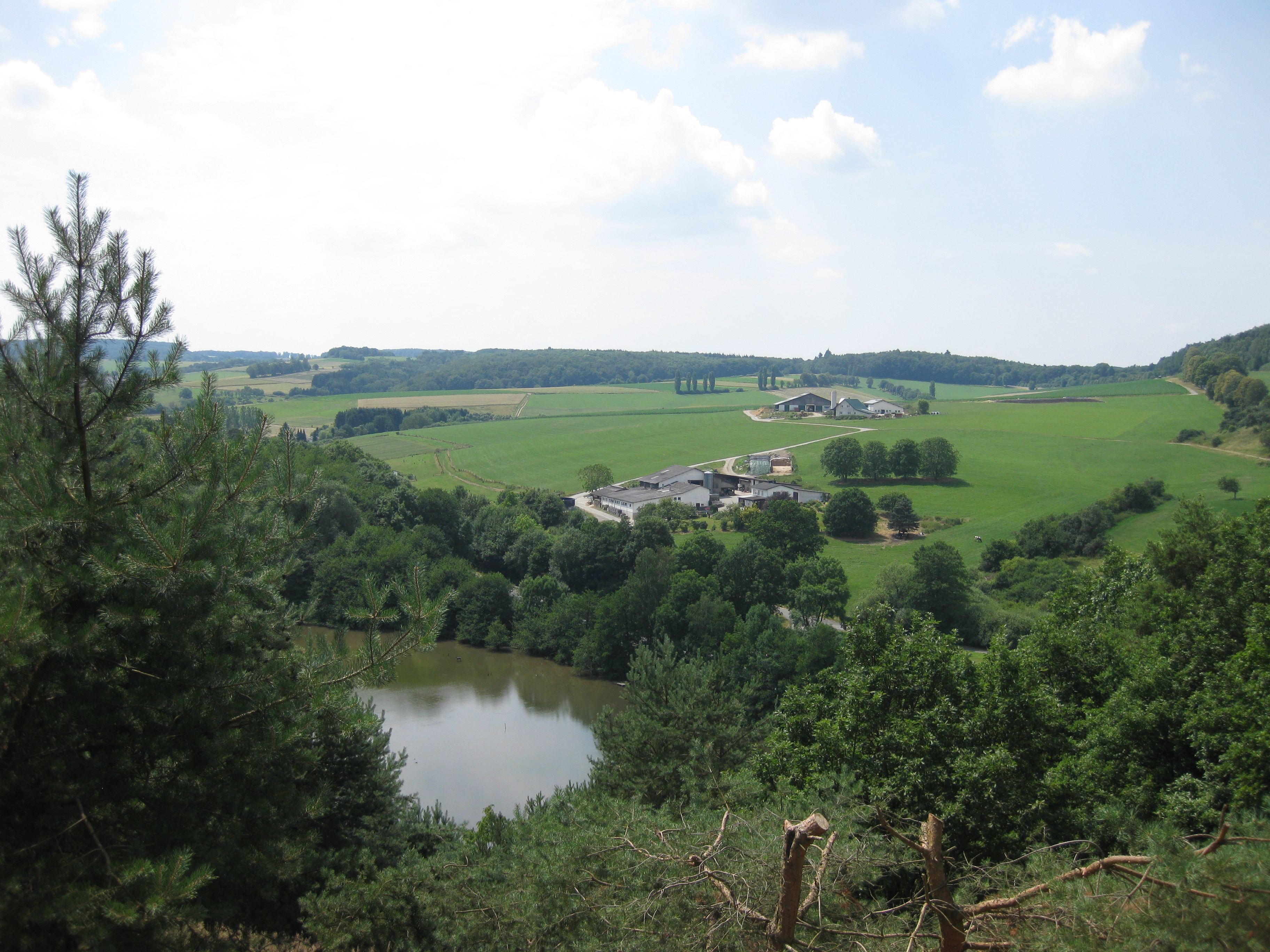
summer in braunfels
Topographic Map of Sportparkstraße, Wetzlar, Germany
Find elevation by address:

Places near Sportparkstraße, Wetzlar, Germany:
Wetzlar
Naunheim
In Den Treppen
Formerstraße 63, Wetzlar, Germany
Hermannstein
Asslar
Aßlar
Oberwetz
4b
Schöffengrund
Bergstraße
Langgöns
Lützellinden
Berliner Str. 15
Biebertal
Dornholzhausen
Dorfstraße 46, Langgöns, Germany
Neukirchen
Hinter dem Steinrücken 27, Gießen, Germany
Rudolf-buchheim-straße 8
Recent Searches:
- Elevation of Corso Fratelli Cairoli, 35, Macerata MC, Italy
- Elevation of Tallevast Rd, Sarasota, FL, USA
- Elevation of 4th St E, Sonoma, CA, USA
- Elevation of Black Hollow Rd, Pennsdale, PA, USA
- Elevation of Oakland Ave, Williamsport, PA, USA
- Elevation of Pedrógão Grande, Portugal
- Elevation of Klee Dr, Martinsburg, WV, USA
- Elevation of Via Roma, Pieranica CR, Italy
- Elevation of Tavkvetili Mountain, Georgia
- Elevation of Hartfords Bluff Cir, Mt Pleasant, SC, USA