Elevation of Spofford, Chesterfield, NH, USA
Location: United States > New Hampshire > Cheshire County > Chesterfield >
Longitude: -72.419492
Latitude: 42.9070424
Elevation: 211m / 692feet
Barometric Pressure: 99KPa
Elevation Map:
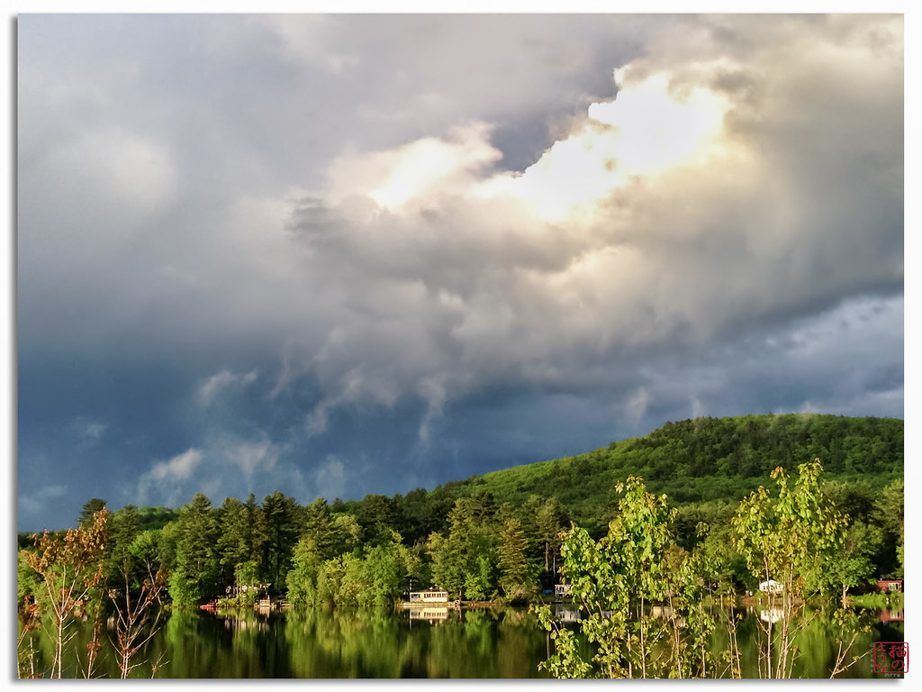
Satellite Map:
Related Photos:

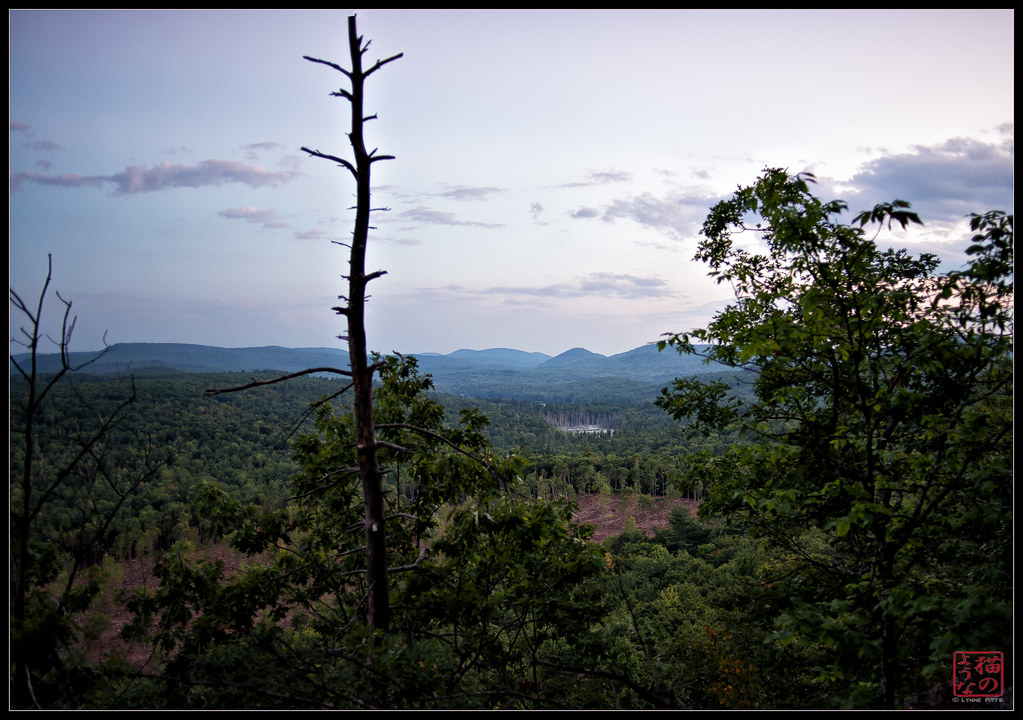
Tower of Pumpkins

Desk, April 2011

Pitch Pine Understory

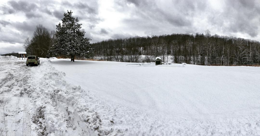
Feb Challenge Day 2 | my view

Brattleboro Backyards

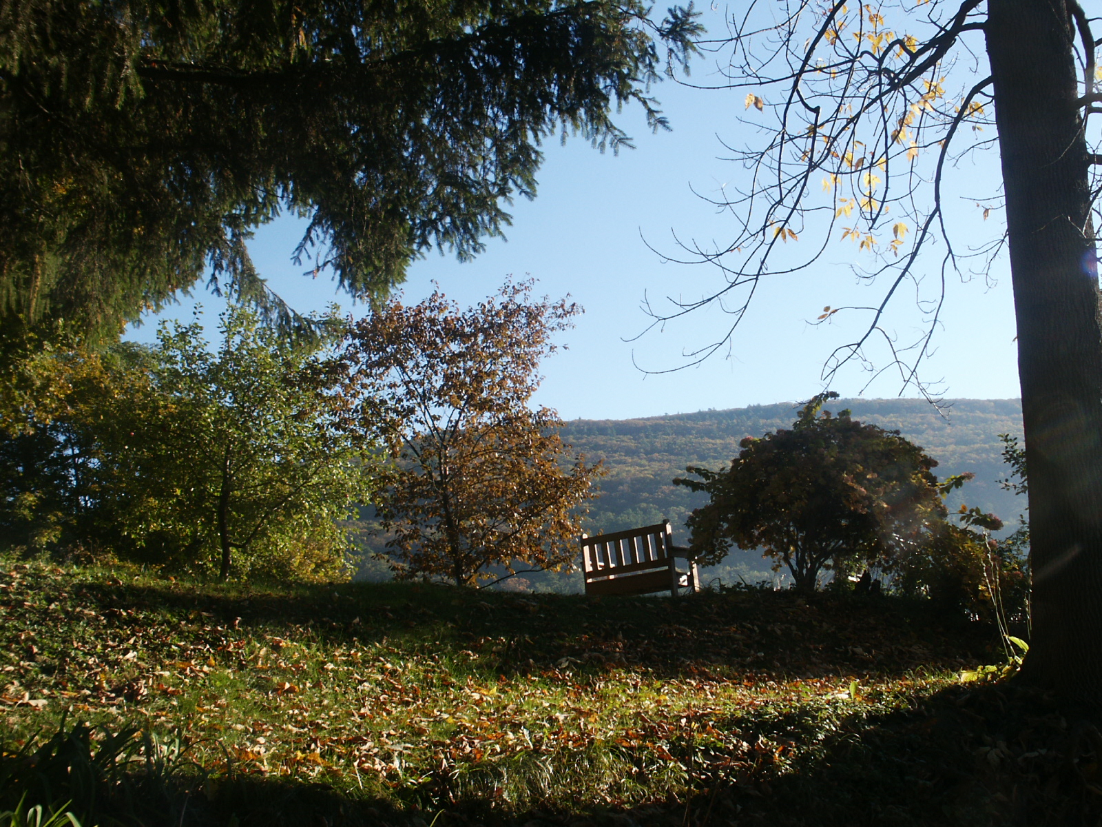
A better view

Brattleboro railroad bridge
View from Mt Caesar
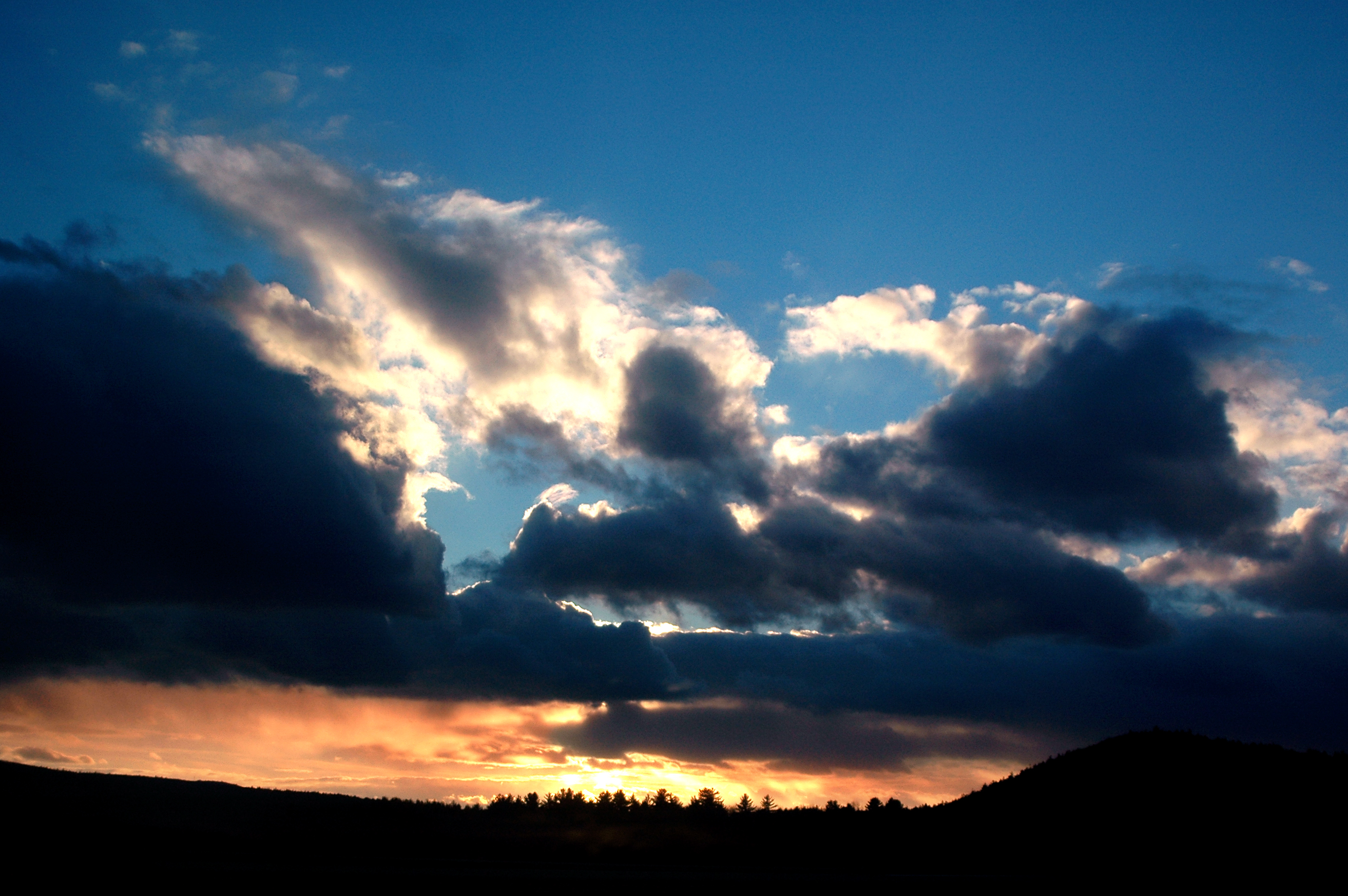
Keene Sunset, Keene, NH

Flag on Main Street
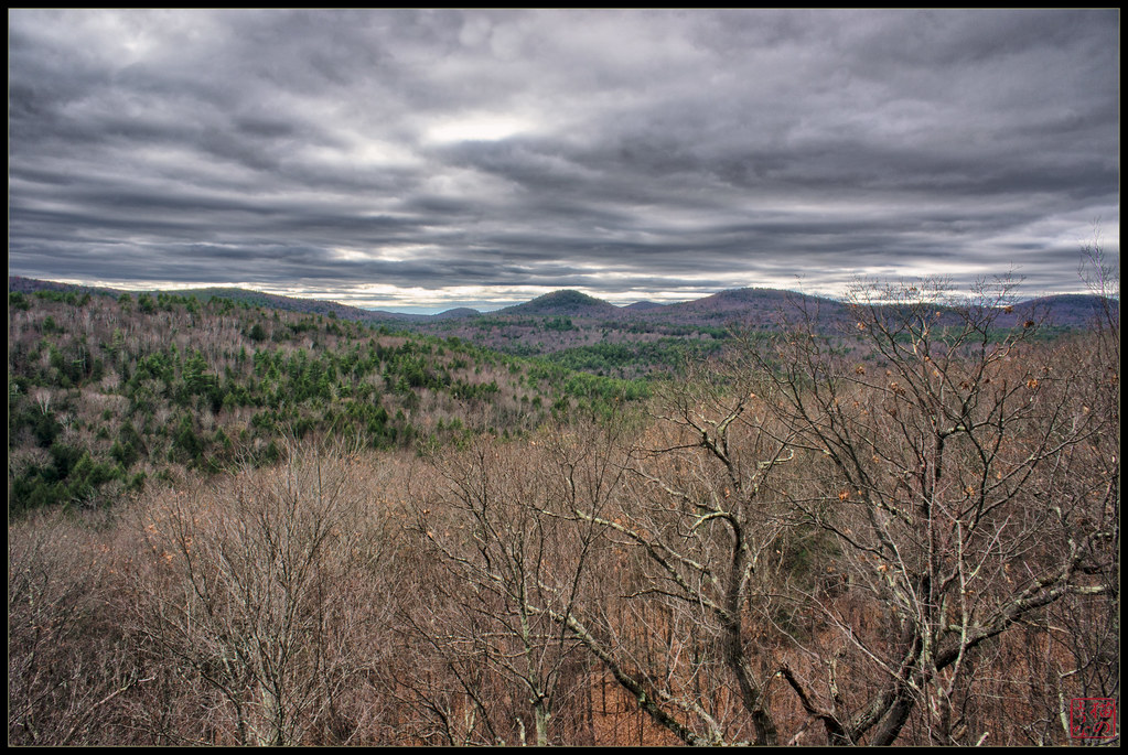
Long View

Quartz - New Hampshire (4)
View from the Ledge

NorthWest View from the Dam

A Dam(Road) Nice View Without Tyler and Sierra in the Dam Way!
Brattleboro overlook
Chesterfield Gorge State Park

Madame Sherri's Castle

Brett Wood Country Club

Brattleboro ducks
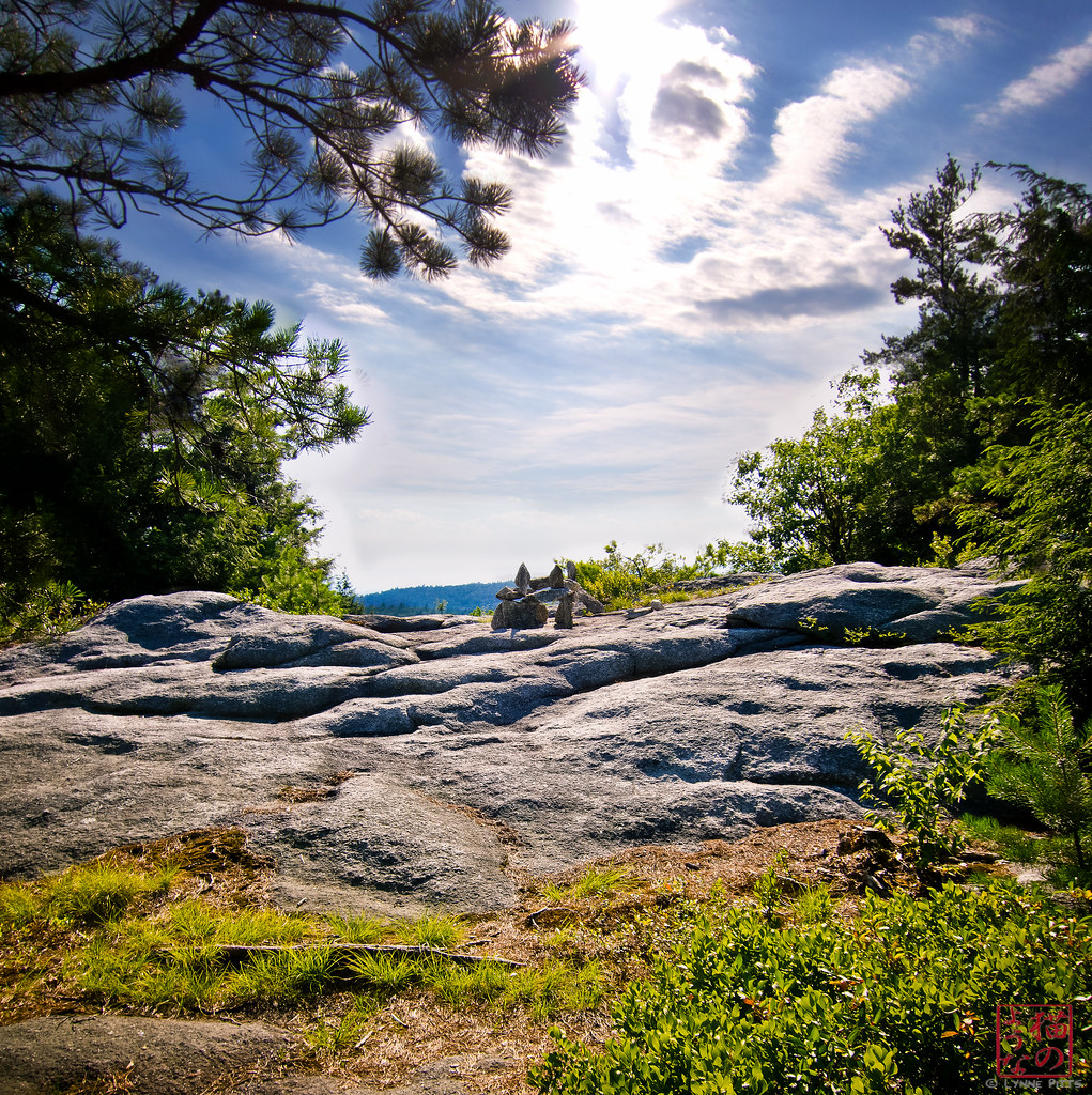
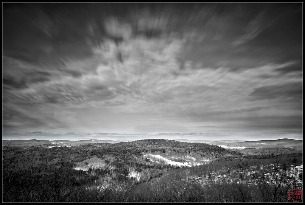
Pisgah Peak Cairn Vertorama
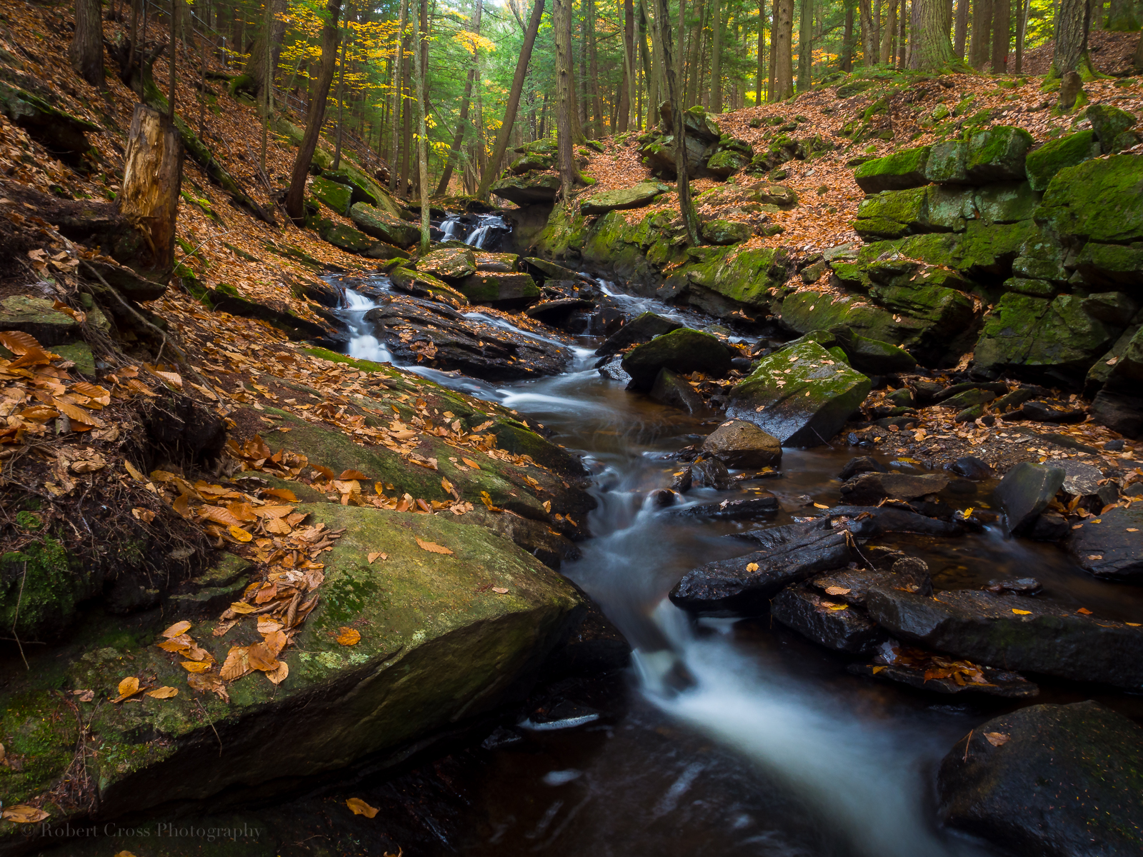
Falling Water in Southern New Hampshire
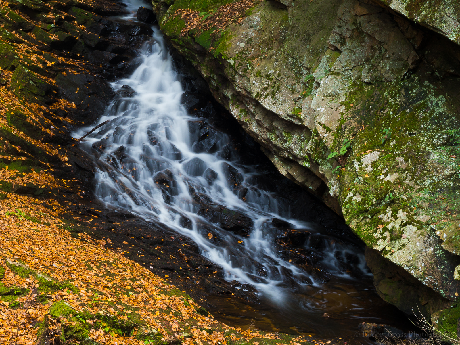
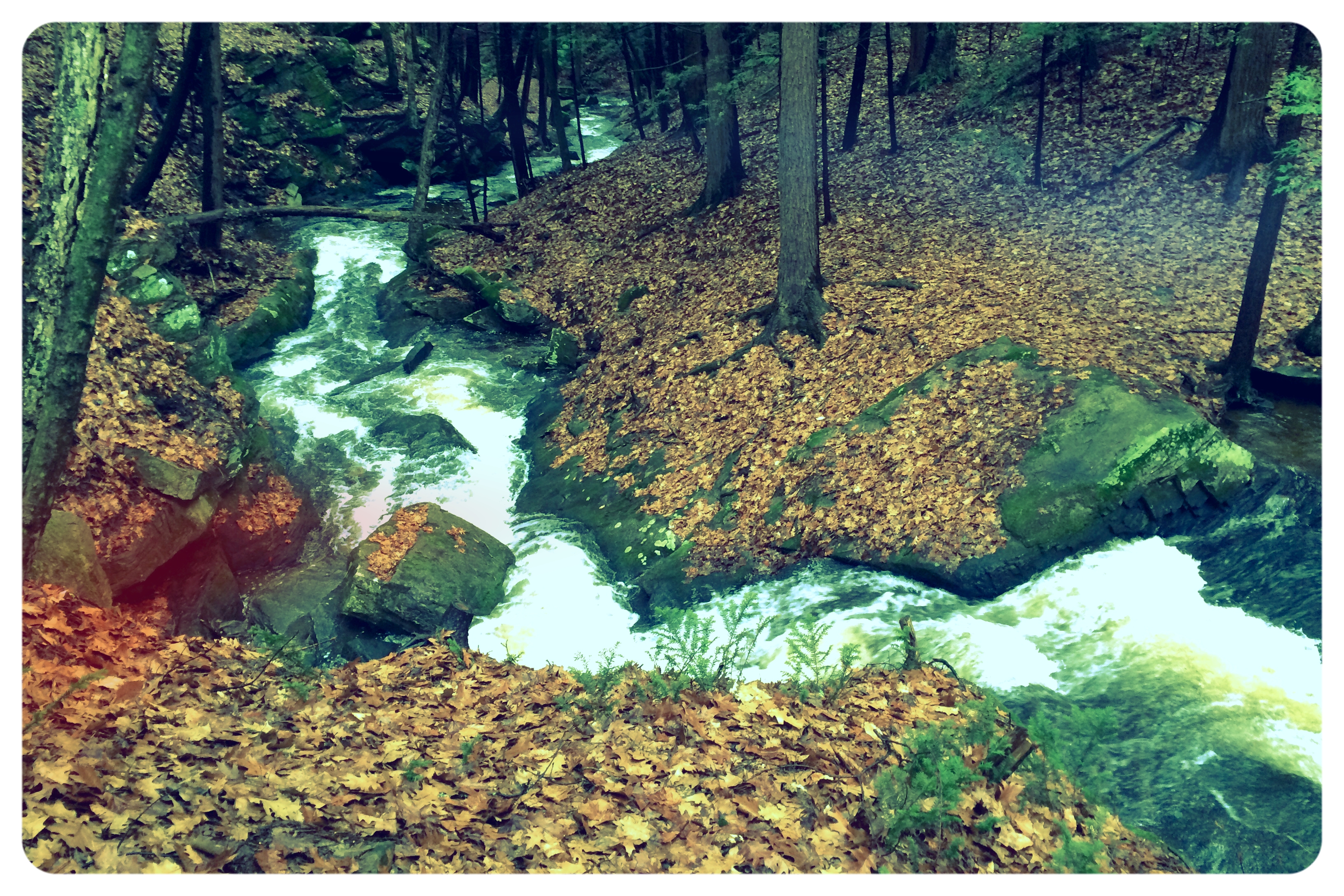
Autumn Gorge

Connecticut River

From the edge of the Harvest Festival
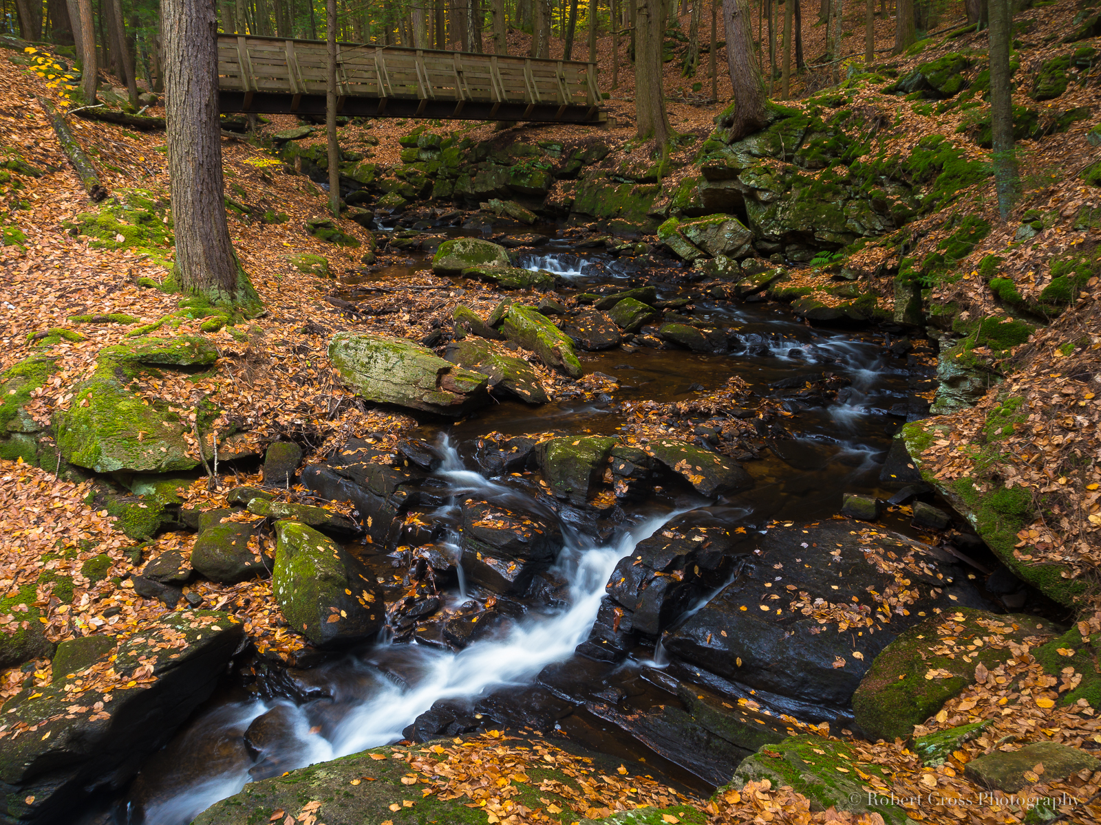
Autumn Bridge at Chesterfield Gorge
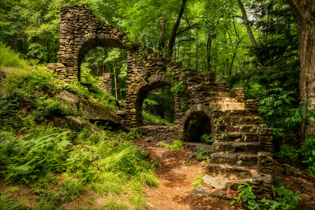
Madame Sherri's Castle Ruins
Powered the revolution. #sonya7r with #metabones adapter and #sigma50art 2 second exposure and edited in #Nik

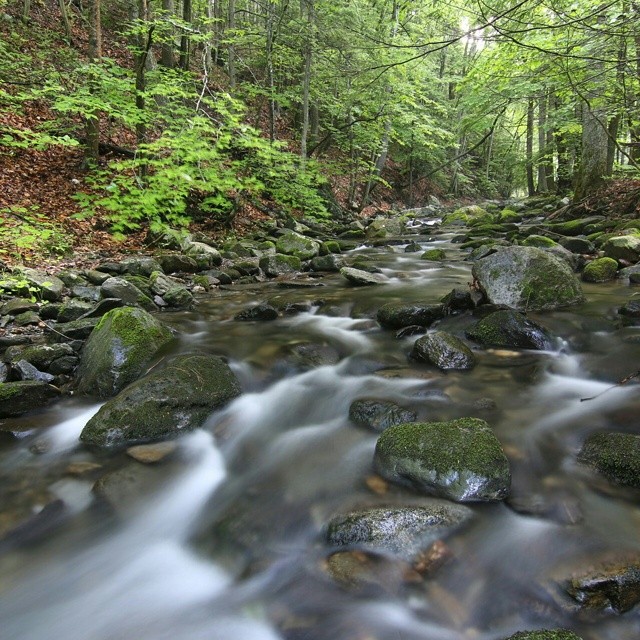
Broad Brook

The #ashuelotriver is really rolling today. #Keene #newhampshire
Pisgah trailhead

The West River at Brattleboro
Straight out of the camera #70D #tokina 11-16 @f/7.1 10seconds #longexposure #waterflow
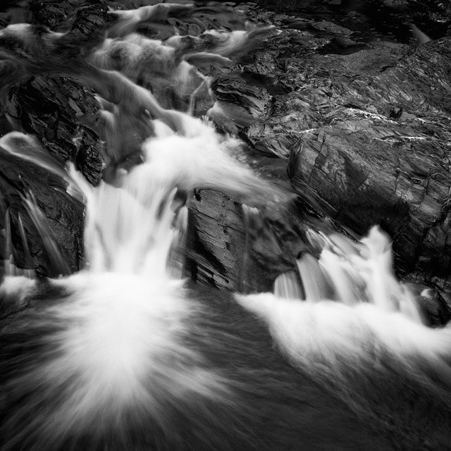
Merriam Brook Falls

The water is rather high after all this rain. #surrydam #NewHampshire
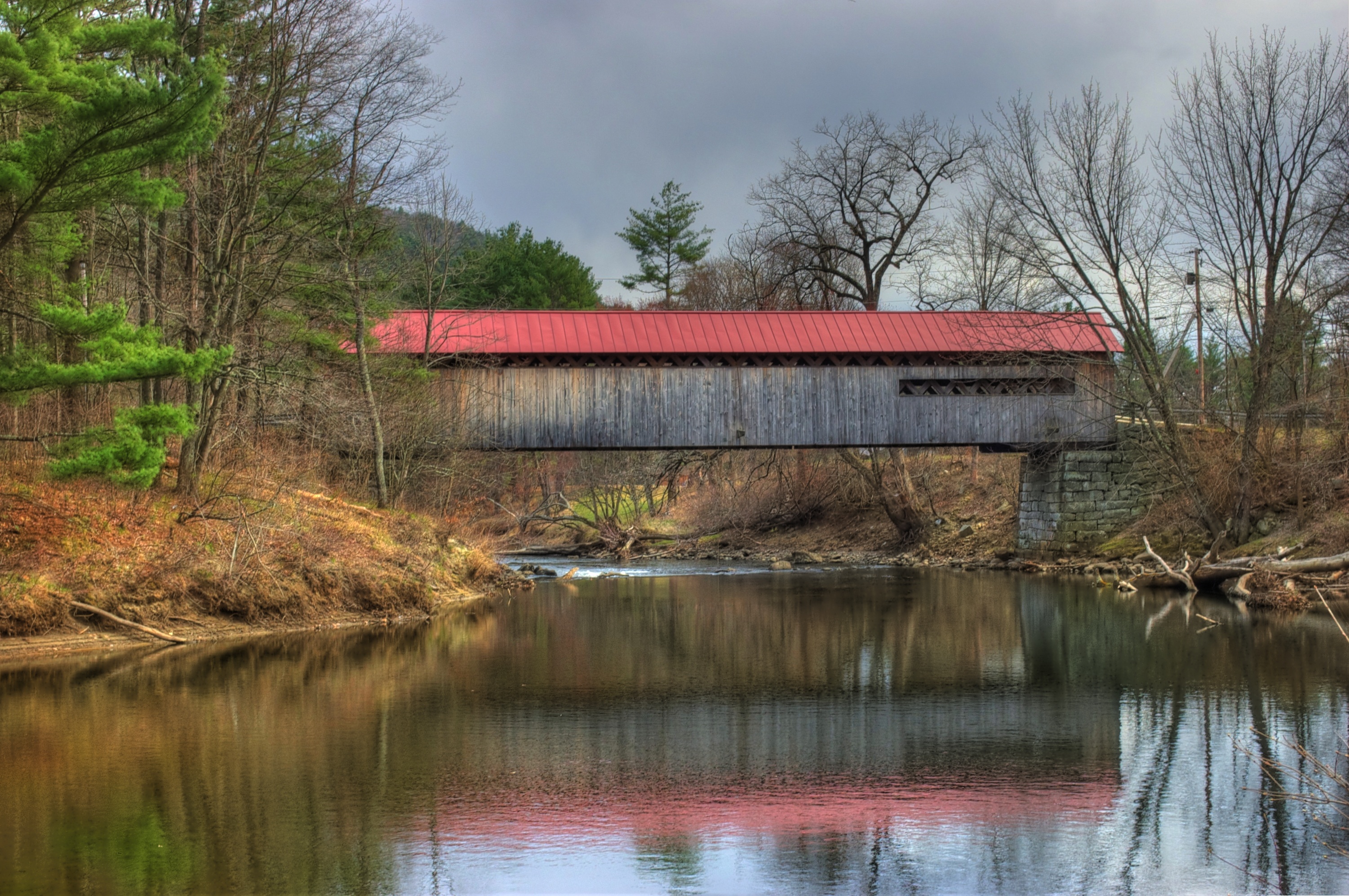
Coombs Covered Bridge
Storm Light At Wilson Pond

#goodmorning

#keene #newhampshire #sunset

Autumn Bridge in the Rain

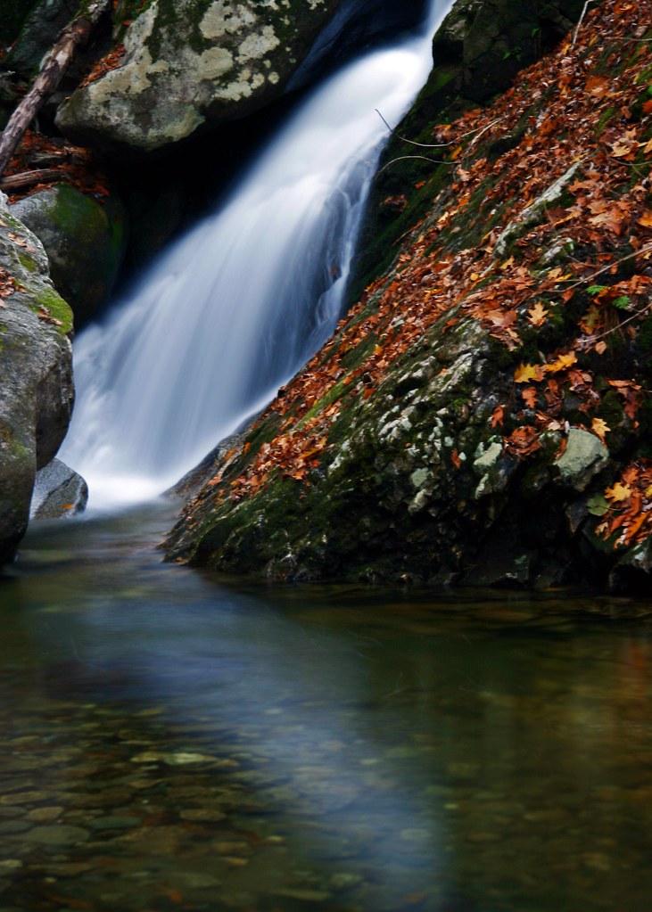
Jekyll Hyde Falls

Good morning #golf course.
Topographic Map of Spofford, Chesterfield, NH, USA
Find elevation by address:

Places in Spofford, Chesterfield, NH, USA:
Places near Spofford, Chesterfield, NH, USA:
102 Atherton Hill Rd
635 Old Swanzey Rd
635 Old Swanzey Rd
79 Valley Park Dr
59 Glebe Rd
150 Owls Hill Rd
Montessori Schoolhouse Of Cheshire County, Inc.
Hillside Village Keene
55 Black Brook Rd
77 Butternut Dr
451 Park Ave
608 Old Walpole Rd
50 Kennedy Dr
12 Blossom St
17 Birch St
27 Birch St
3 Mountain View Ct
28 Park Ave
26 Mountain View Dr
11 Surry Hill Dr
Recent Searches:
- Elevation of Unnamed Road, Respublika Severnaya Osetiya — Alaniya, Russia
- Elevation of Verkhny Fiagdon, North Ossetia–Alania Republic, Russia
- Elevation of F. Viola Hiway, San Rafael, Bulacan, Philippines
- Elevation of Herbage Dr, Gulfport, MS, USA
- Elevation of Lilac Cir, Haldimand, ON N3W 2G9, Canada
- Elevation of Harrod Branch Road, Harrod Branch Rd, Kentucky, USA
- Elevation of Wyndham Grand Barbados Sam Lords Castle All Inclusive Resort, End of Belair Road, Long Bay, Bridgetown Barbados
- Elevation of Iga Trl, Maggie Valley, NC, USA
- Elevation of N Co Rd 31D, Loveland, CO, USA
- Elevation of Lindever Ln, Palmetto, FL, USA