Elevation of Southpoint Blvd, Petaluma, CA, USA
Location: United States > California > Sonoma County > Petaluma >
Longitude: -122.64896
Latitude: 38.2589742
Elevation: 10m / 33feet
Barometric Pressure: 101KPa
Elevation Map:
Satellite Map:
Related Photos:

Another Country View
Sonoma County sunday

Focus on Structures and Architecture at Jack London State Historic Park
Sonoma Valley Regional Park

pinhole oaks
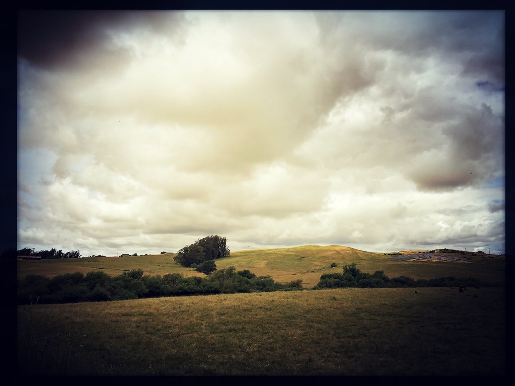
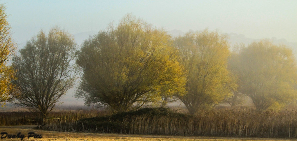
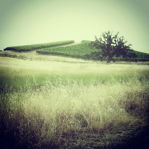
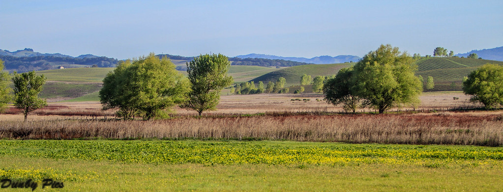
Petaluma Landscapes

Shady Trail - Jack London State Park

Jack London State Historic Park
Mallard Pond - A Fowl Day at Tolay Lake Regional Park

Sonoma Valley Regional Park & Lake Suttonfield
Petaluma-Marshall & Point Reyes Roads
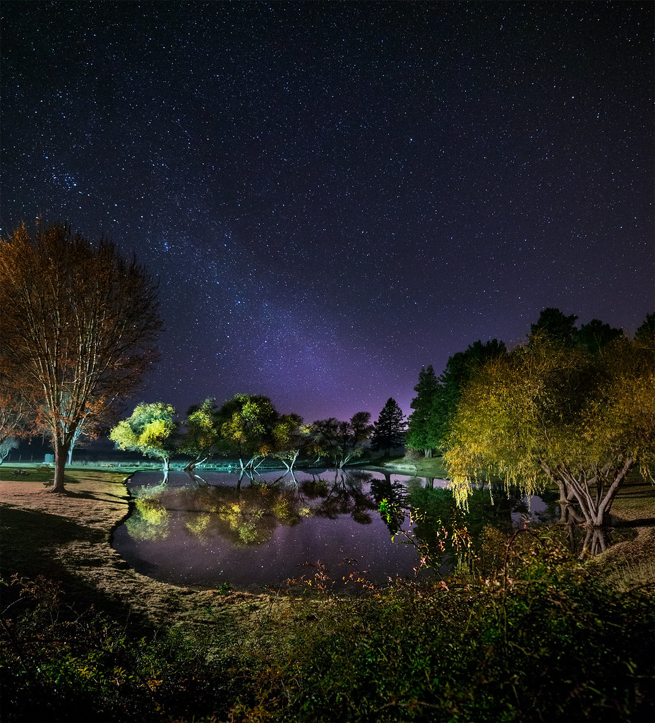
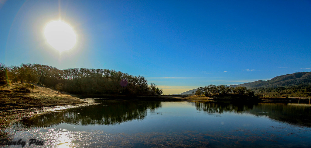
Night Lake
Foggy Morning Fall Trees - Landscapes of Tolay Lake Regional Park
view from gravity hill
brooklyn in the country
Sunrise Yesterday Morning in Petaluma
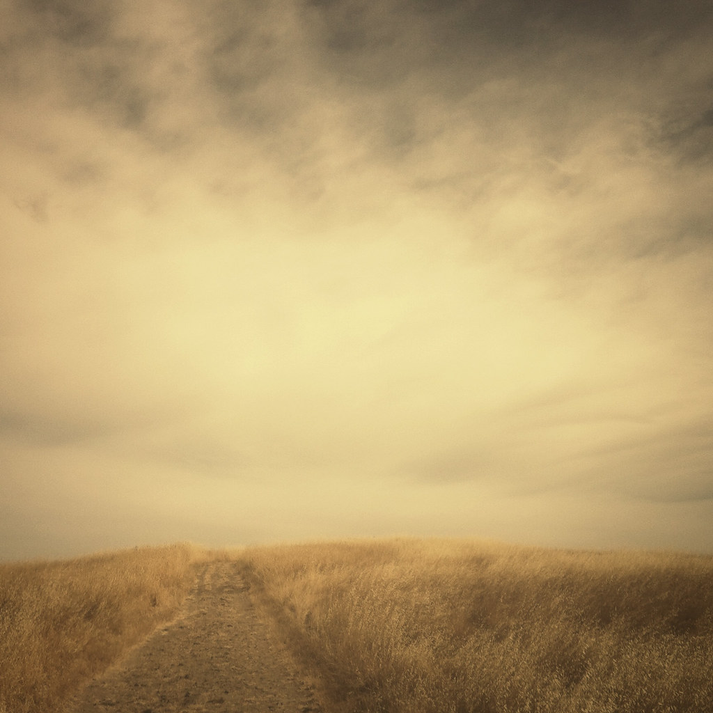
meadow morning
Vineyards surrounding Jack London State Historic Park
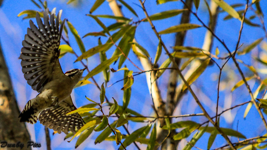
Hairy Woodpecker at Tolay Lake Regional Park

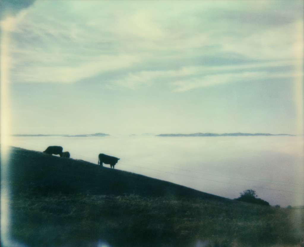
Out to Pasture

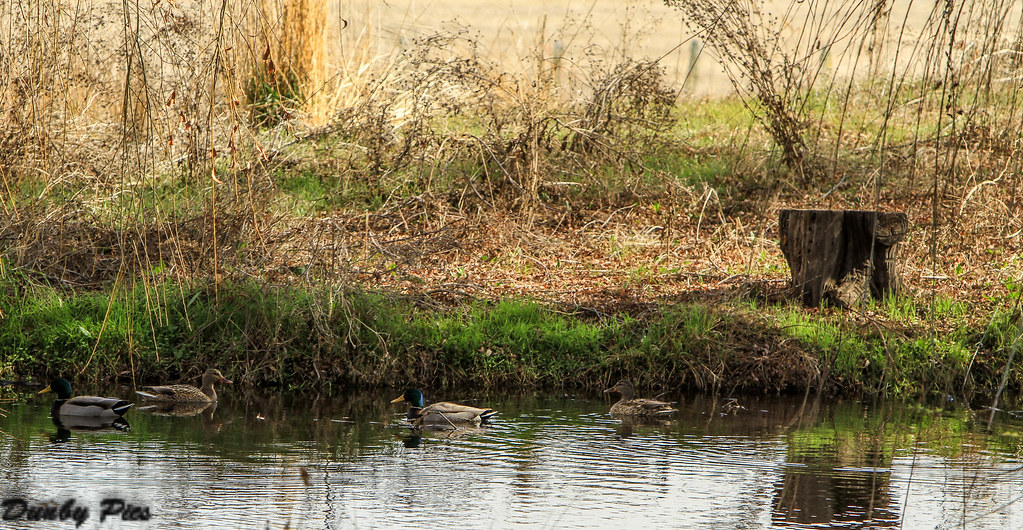
Duck Diversity Reflection at Ellis Creek - Petaluma Wetlands

perfectly-shaped tree

A Country View
vineyard geometry
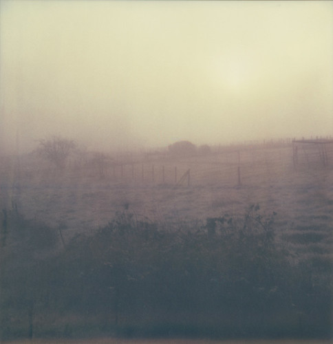
sunrise thru fog
hill and sky
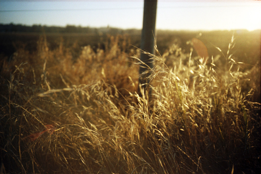
roadside grass

Wine country garden
Mustard Grass Landscapes - Tolay Lake Regional Park
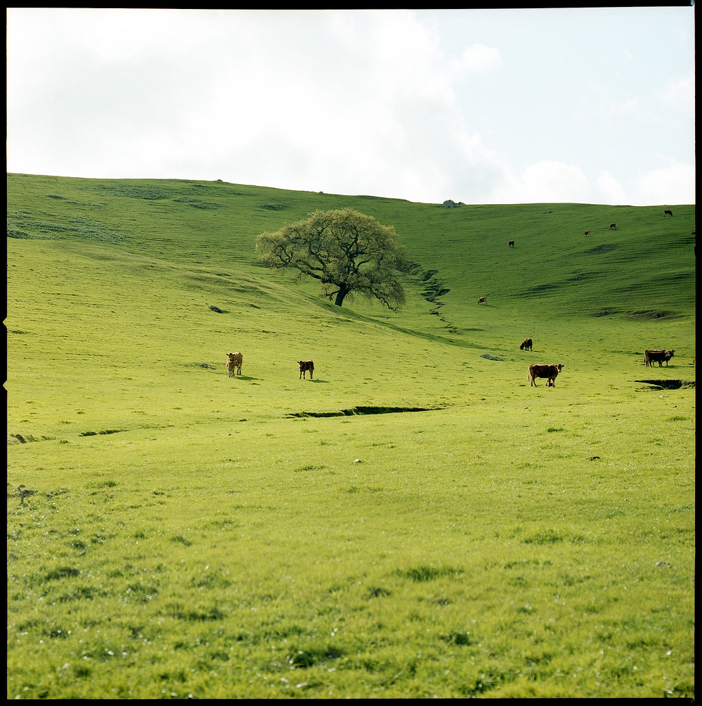
hill & cows
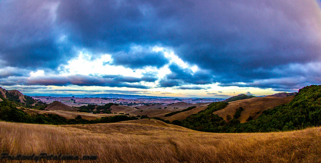
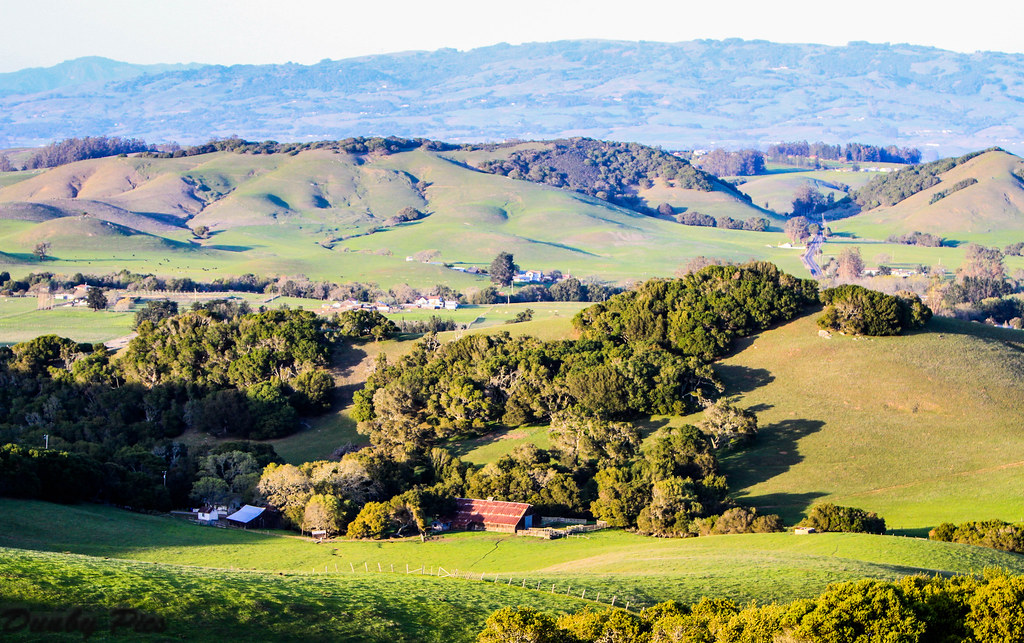
Hills Of Petaluma

Morning Light

Valley of Dreams

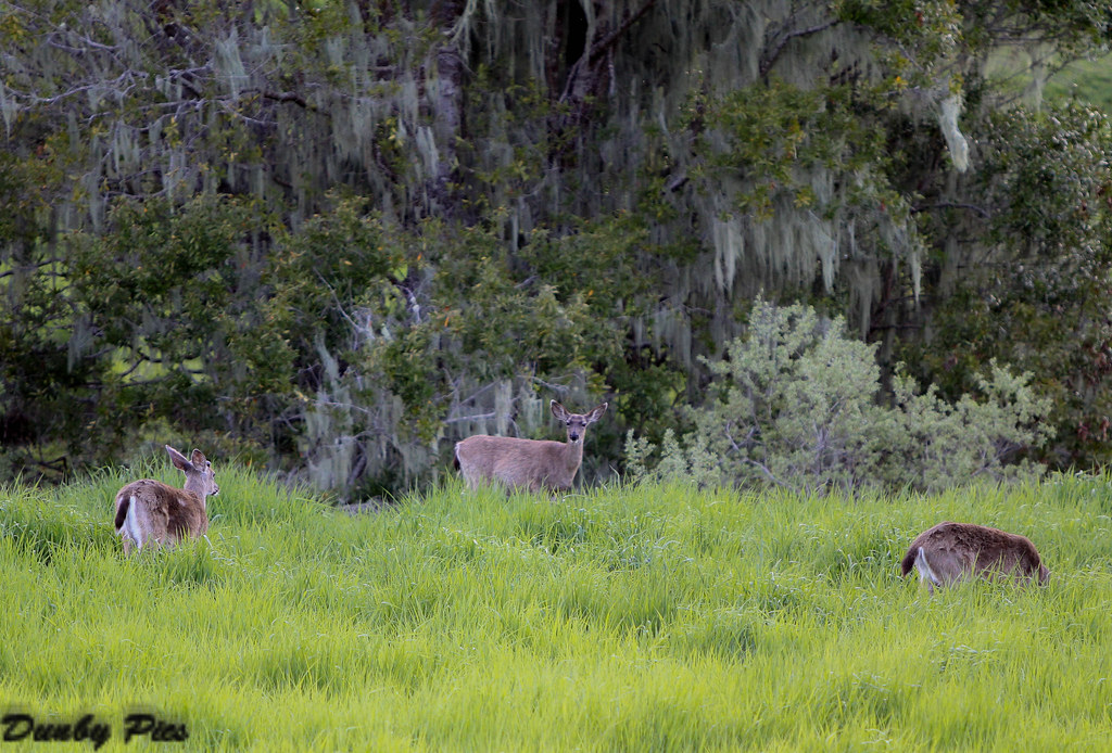
Stafford Deer
sonoma mtn

more green-and-fog, from this morning's commute

IMGP4051-Edit
Topographic Map of Southpoint Blvd, Petaluma, CA, USA
Find elevation by address:

Places near Southpoint Blvd, Petaluma, CA, USA:
N McDowell Blvd, Petaluma, CA, USA
741 Mayflower St
1375 Gossage Ave
1327 Clegg St
1907 Winchester Ln
Auto Center Drive
717 Madison St
Kentucky Street
426 Brittania Ct
Edith Street Senior Apartments
818 N Webster St
16 E Washington St
Payran Street
208 Wishkah Ln
820 Western Ave
Petaluma
E St, Petaluma, CA, USA
112 Fair St
120 8th St
416 Eastwood Dr
Recent Searches:
- Elevation of Zimmer Trail, Pennsylvania, USA
- Elevation of 87 Kilmartin Ave, Bristol, CT, USA
- Elevation of Honghe National Nature Reserve, QP95+PJP, Tongjiang, Heilongjiang, Jiamusi, Heilongjiang, China
- Elevation of Hercules Dr, Colorado Springs, CO, USA
- Elevation of Szlak pieszy czarny, Poland
- Elevation of Griffing Blvd, Biscayne Park, FL, USA
- Elevation of Kreuzburger Weg 13, Düsseldorf, Germany
- Elevation of Gateway Blvd SE, Canton, OH, USA
- Elevation of East W.T. Harris Boulevard, E W.T. Harris Blvd, Charlotte, NC, USA
- Elevation of West Sugar Creek, Charlotte, NC, USA