Elevation of Southland Rd, Alamogordo, NM, USA
Location: United States > New Mexico > Otero County > Alamogordo >
Longitude: -105.98484
Latitude: 32.72714
Elevation: 1226m / 4022feet
Barometric Pressure: 87KPa
Elevation Map:
Satellite Map:
Related Photos:

Oliver Lee State Park New Mexico

Dog Canyon

Sacramento Mnts.

Sacramento Mnts.

Walking On Water

Saltonia Habitat, Holloman AFB Wildlife Viewing Area

Just gotta love the desert mountains!!

Dog Canyon
The Werewolf Transformation

DOG CANYON IN FOG

peaky things
pointy things

Near Dog Canyon: Alamogordo, New Mexico (NM)

Slope down into Dog Canyon

Dog Canyon Eyebrow

Dog Canyon Trail

Sheer walls in upper Dog Canyon

Dog Canyon Trail

White Sands National Monument

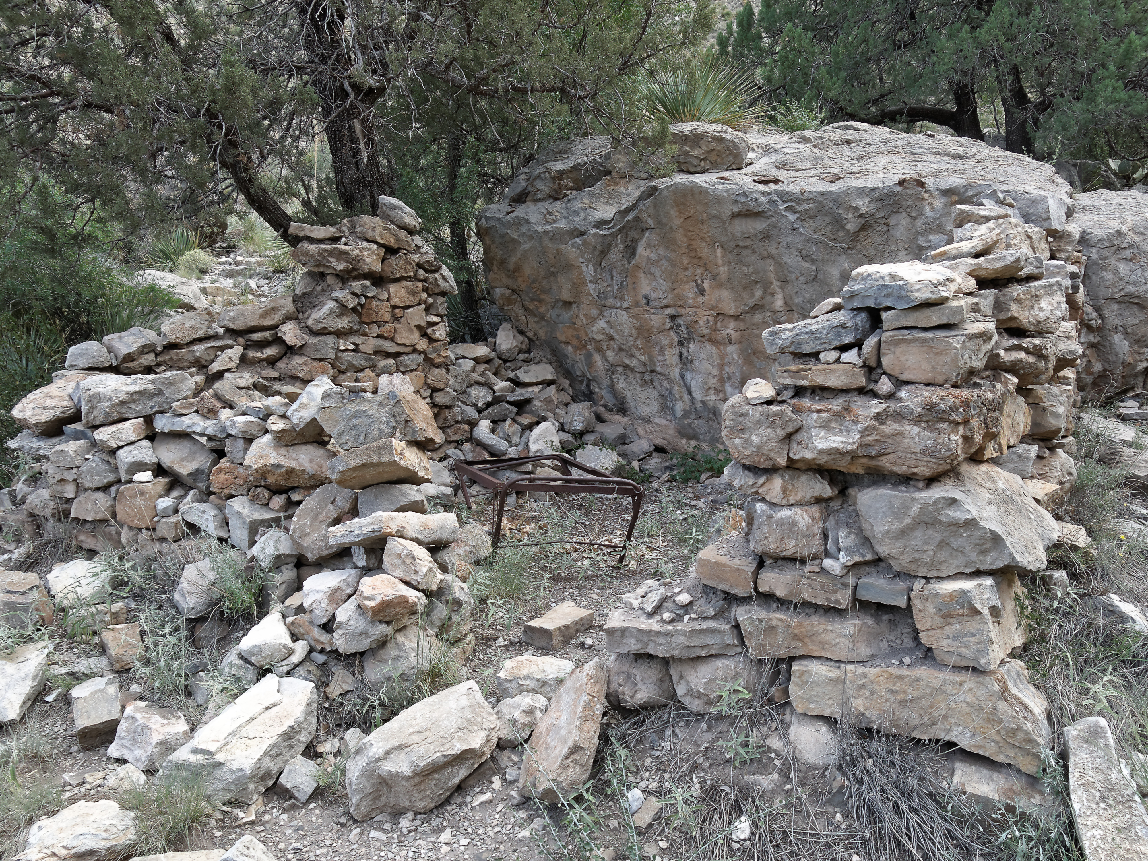
Dog Canyon abandoned house

Dog Canyon Trail

Looking at Dog Canyon from the shadows
Dog Canyon Trail cabin

Oliver Lee State Park
Slowly climbing Dog Canyon

Yucca on Steps

Alakaline Lake

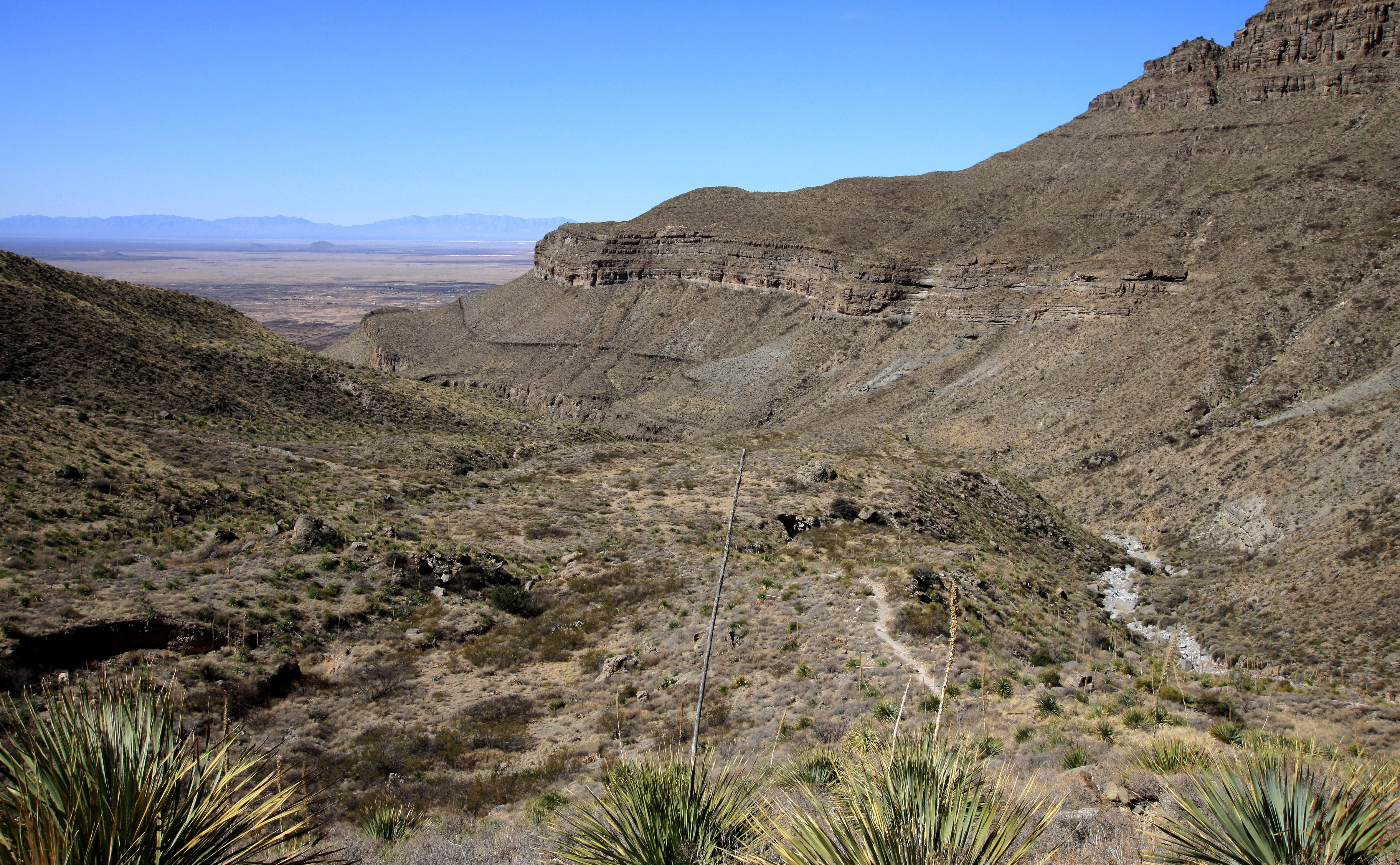
Looking out from Dog Canyon
Topographic Map of Southland Rd, Alamogordo, NM, USA
Find elevation by address:

Places near Southland Rd, Alamogordo, NM, USA:
26 Desert Air Rd, Alamogordo, NM, USA
Oliver Lee Memorial State Park
81 Southend Rd A
81 Southend Rd A
Chaparral Avenue
6 Chaparral Ave
Boles Acres
Alamogordo, NM, USA
894 Lindberg Ave
1102 Mescalero Ave
Steamboat
900 Panorama Blvd
Long Ridge
700 Venus Ave
Holloman Air Force Base
123 S White Sands Blvd
300 Plainview Dr
802 5th St
907 7th St
Alamogordo
Recent Searches:
- Elevation of Holloway Ave, San Francisco, CA, USA
- Elevation of Norfolk, NY, USA
- Elevation of - San Marcos Pass Rd, Santa Barbara, CA, USA
- Elevation of th Pl SE, Issaquah, WA, USA
- Elevation of 82- D Rd, Captain Cook, HI, USA
- Elevation of Harlow CM20 2PR, UK
- Elevation of Shenyang Agricultural University, Dong Ling Lu, Shen He Qu, Shen Yang Shi, Liao Ning Sheng, China
- Elevation of Alpha Dr, Melbourne, FL, USA
- Elevation of Hiroshima University, 1-chōme-3-2 Kagamiyama, Higashihiroshima, Hiroshima -, Japan
- Elevation of Bernina Dr, Lake Arrowhead, CA, USA