Elevation of Southington Township, OH, USA
Location: United States > Ohio > Trumbull County >
Longitude: -80.965002
Latitude: 41.3060597
Elevation: 279m / 915feet
Barometric Pressure: 98KPa
Elevation Map:
Satellite Map:
Related Photos:

Newton Falls tower

Newton Falls model board

Newton Falls model board

Newton Falls US&S machine

You talkin' to me?

Newton Falls model board

View of West Market Street through Courthouse Square, circa 1970s

Summer View
A view of Market Street, Warren, Ohio, 1905
South Street, Warren, Ohio 1963

My view tonight

Aerial view of Warren G. Harding High School, circa 1935
Village Cafe, Warren, Ohio, circa 1960s-1970s
Star Cycle Shop in Color

Looking West down East Market Street from Pine. circa 1952

2011-05-06 11.47.16
View from over South Street looking towards Courthouse Square, circa 1910's

The Reed family's typical "early departure," December 1963
Village Cafe, East Market St., circa 1940s-1950s
View from the front porch
West Market Street, circa late 1950's
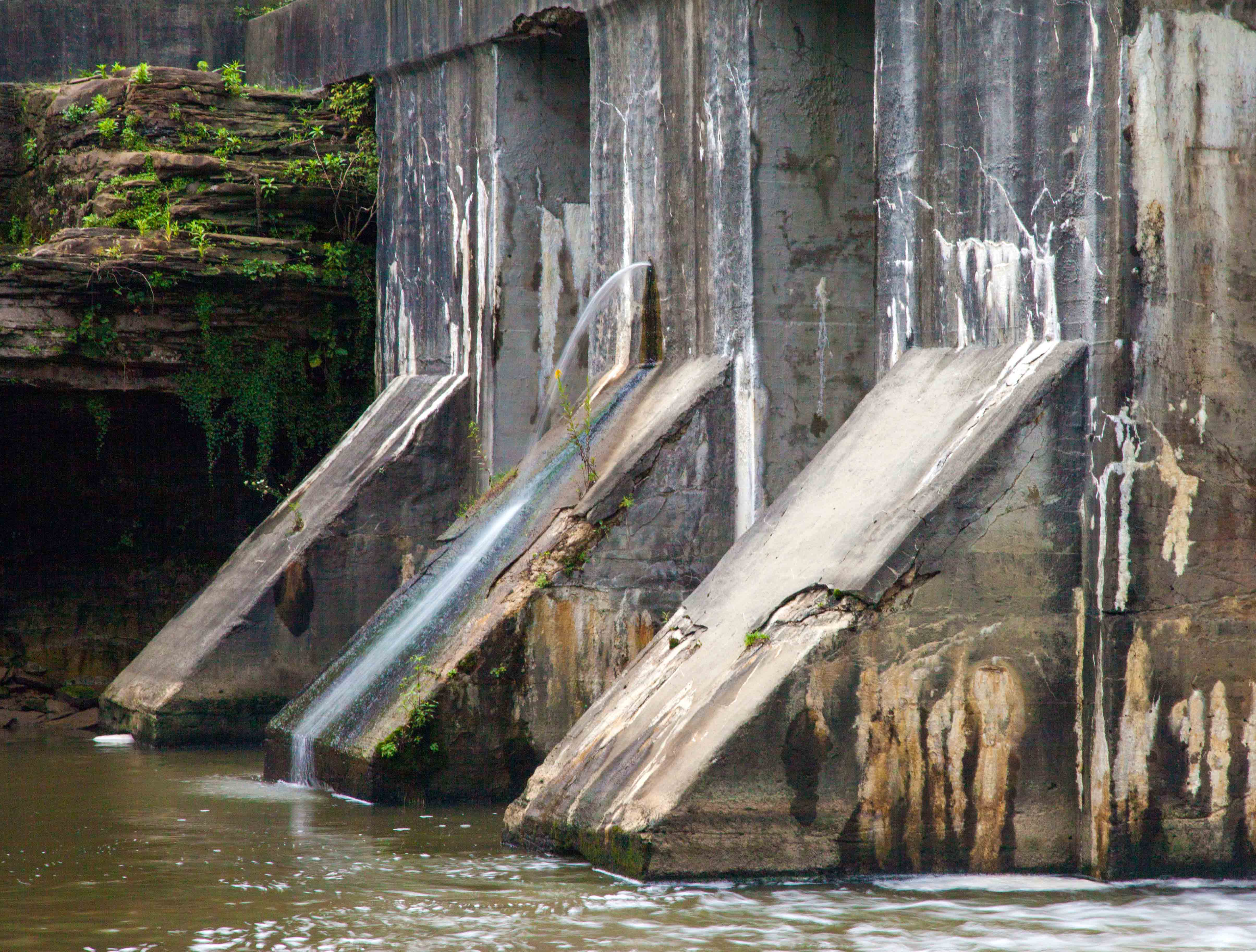
West Branch Dam

Ominous Sky..
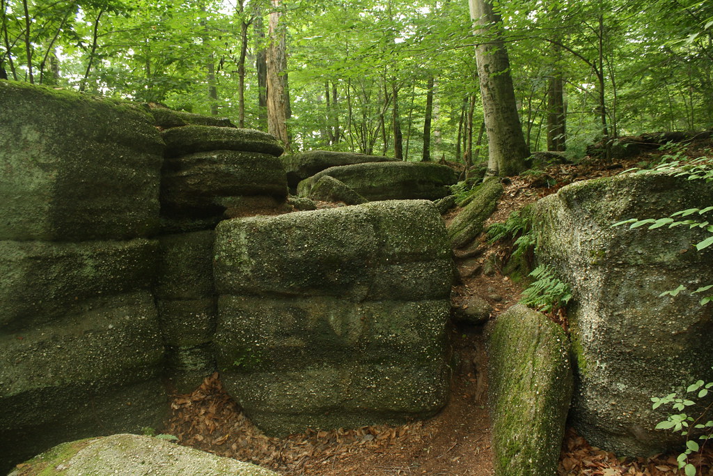
Nelson-Kennedy Ledges State Park

Hidden Treasure
Nelsons Sky

Redtail Hawk

Open Spaces

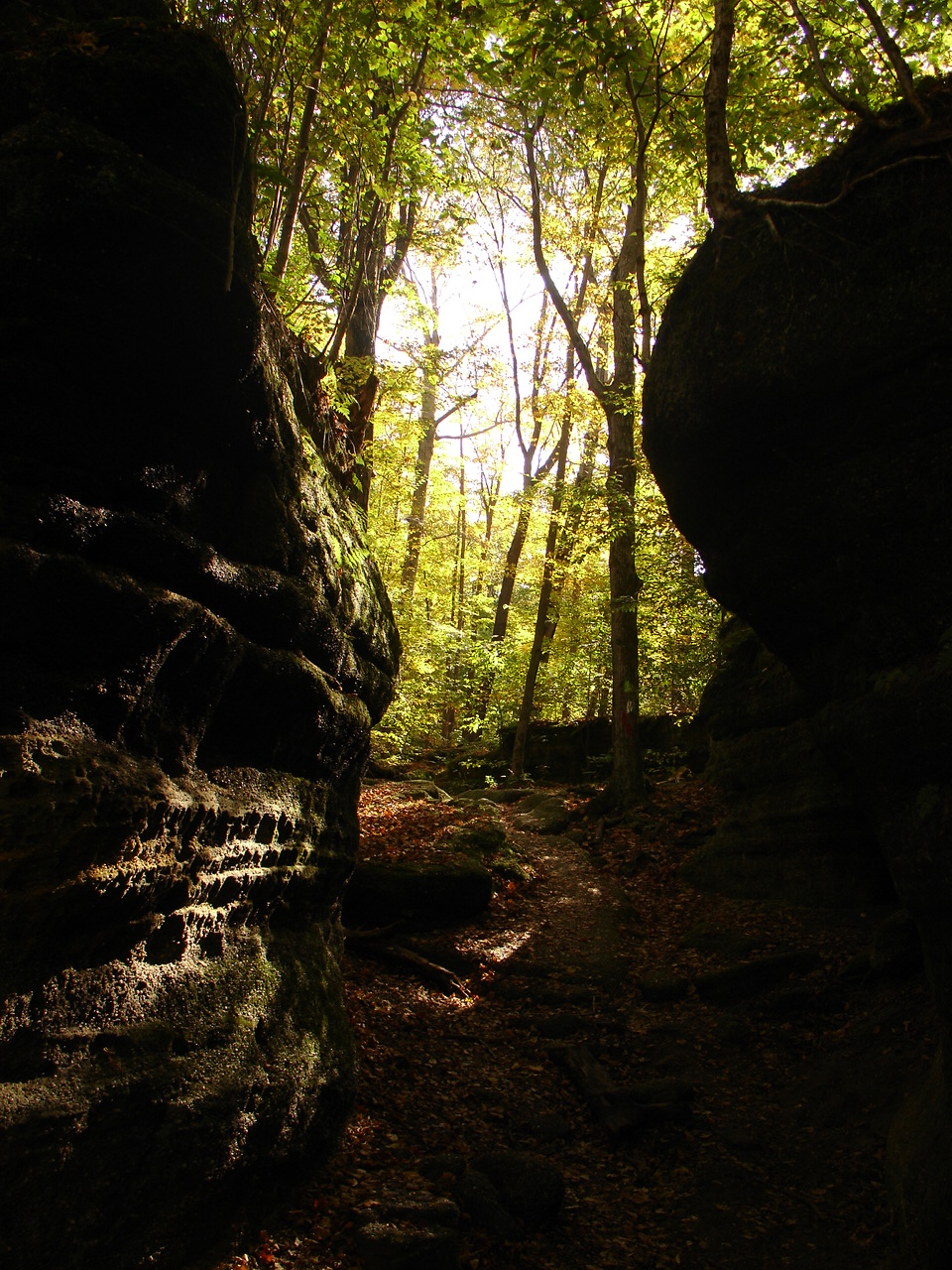
A Place to Hide

#nelsonsledges #cliff #jumping #quarry #nationalpark

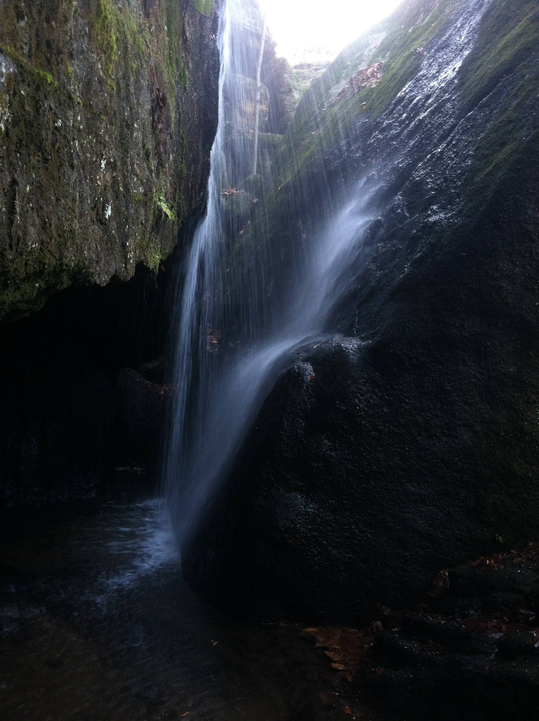
Cascade Falls - Nelson & Kennedy Ledges State Park.

Final..
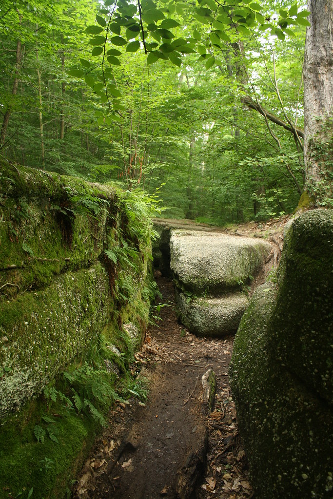
Nelson-Kennedy Ledges State Park

tree 3

Amish Country

Craft project at the kitchen table, 1954
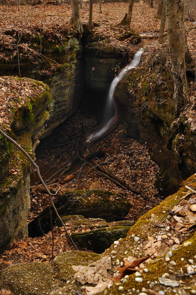
Waterfall at Nelson ledges state park
Minnehaha Falls
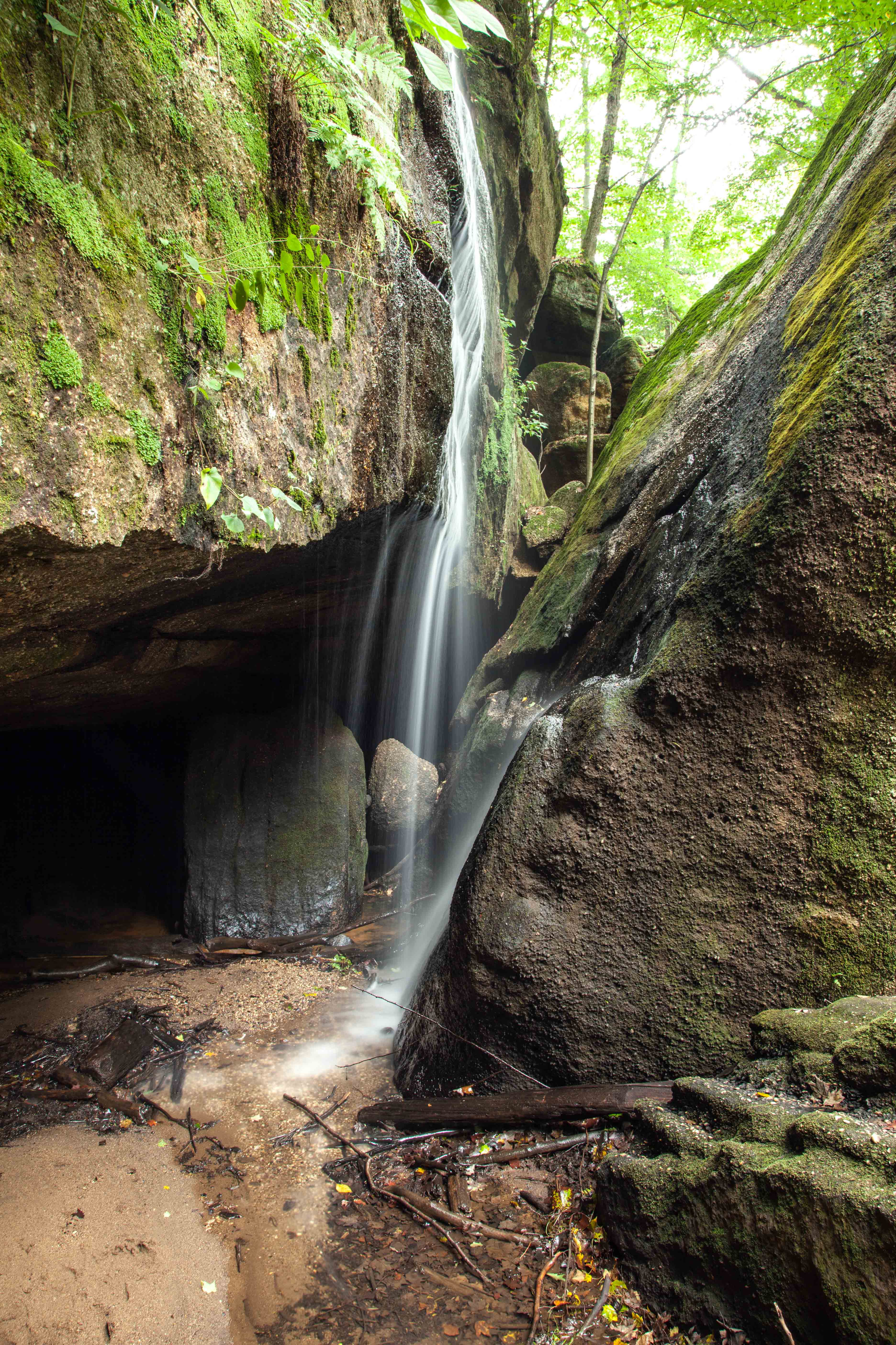
Small falls

Further Down

Fog over the corn fields.

This Ohio sky
Topographic Map of Southington Township, OH, USA
Find elevation by address:

Places in Southington Township, OH, USA:
Places near Southington Township, OH, USA:
Southington
2929 Phalanx Mills Herner Rd
1602 Barclay Messerly Rd
5664 Oak Hill Dr
5442 Oak Hill Dr
5449 Oak Hill Dr
Rattlesnake Hill Sporting Goods
OH-, Newton Falls, OH, USA
Braceville Township
Newton Falls Braceville Rd, Newton Falls, OH, USA
887 Center St W
9494 Pierce Rd
Champion Township
J V Johnson Community Center
1409 Oh-534
Warren Township
800 State Rd Nw
800 State Rd Nw
5370 Copeland Ave Nw
790 State Rd Nw
Recent Searches:
- Elevation of Corso Fratelli Cairoli, 35, Macerata MC, Italy
- Elevation of Tallevast Rd, Sarasota, FL, USA
- Elevation of 4th St E, Sonoma, CA, USA
- Elevation of Black Hollow Rd, Pennsdale, PA, USA
- Elevation of Oakland Ave, Williamsport, PA, USA
- Elevation of Pedrógão Grande, Portugal
- Elevation of Klee Dr, Martinsburg, WV, USA
- Elevation of Via Roma, Pieranica CR, Italy
- Elevation of Tavkvetili Mountain, Georgia
- Elevation of Hartfords Bluff Cir, Mt Pleasant, SC, USA