Elevation of Southey Street, Southey St, Leamington, Cambridge, New Zealand
Location: New Zealand > Waikato > Cambridge > Leamington >
Longitude: 175.467976
Latitude: -37.910210
Elevation: 64m / 210feet
Barometric Pressure: 101KPa
Elevation Map:
Satellite Map:
Related Photos:
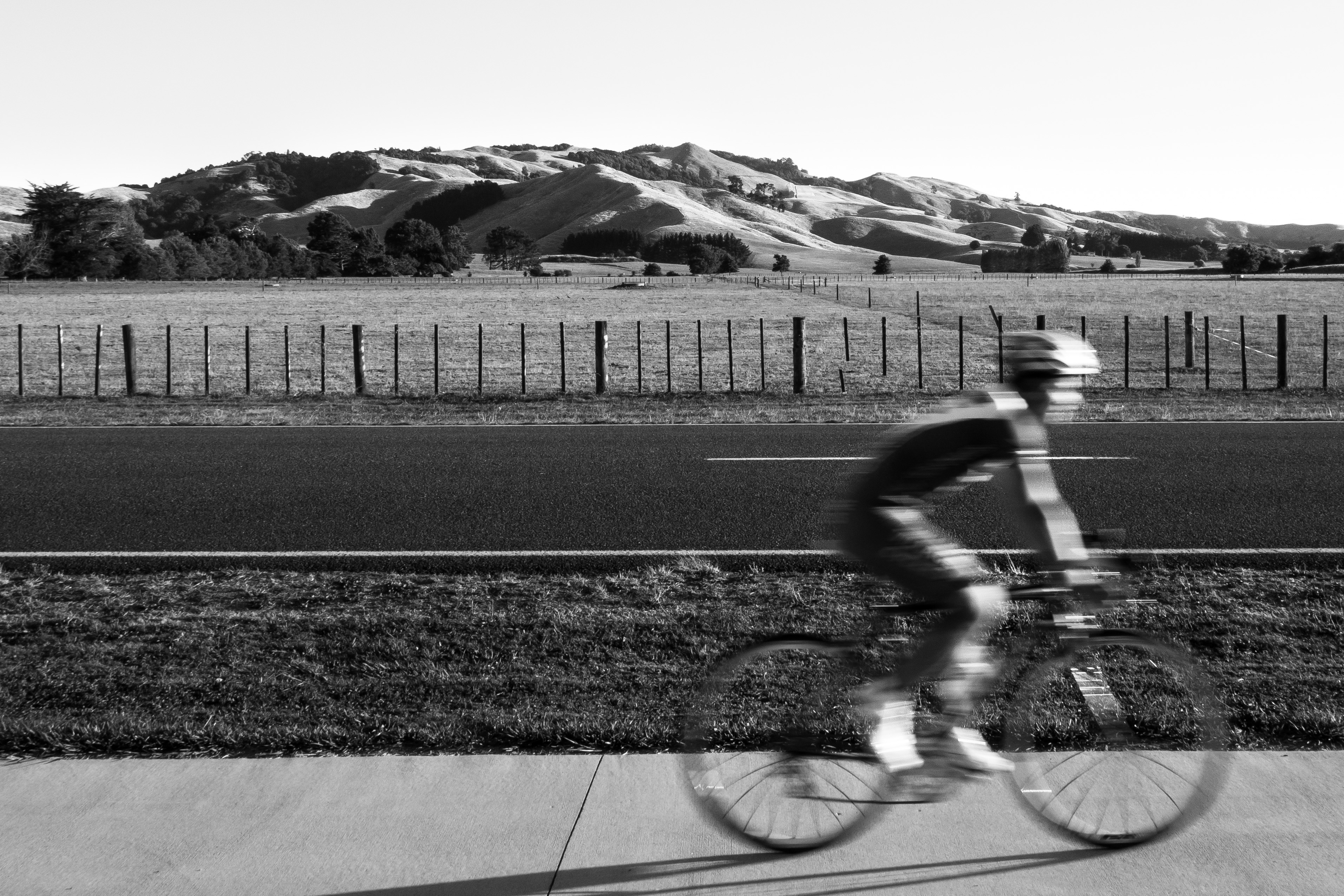
Te Awa Cycling Stripes
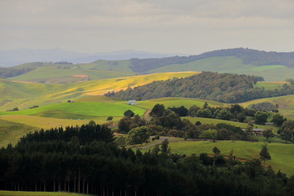
View from Sanitorium Hill Reserve Cambridge. NZ .3
View from Sanitorium Hill Reserve Cambridge. NZ .2
Old house, Maungatautari, Waikato. New Zealand
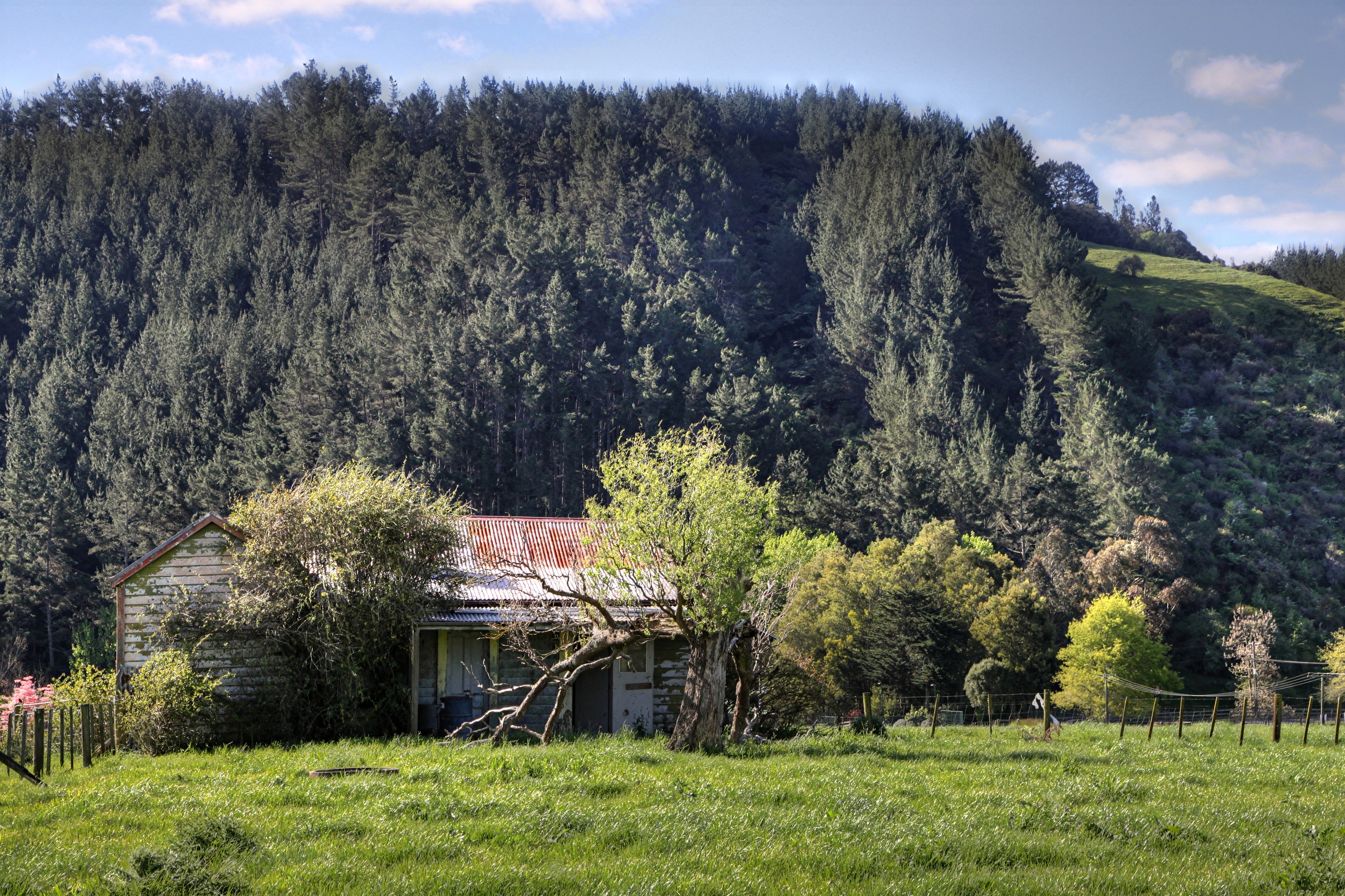
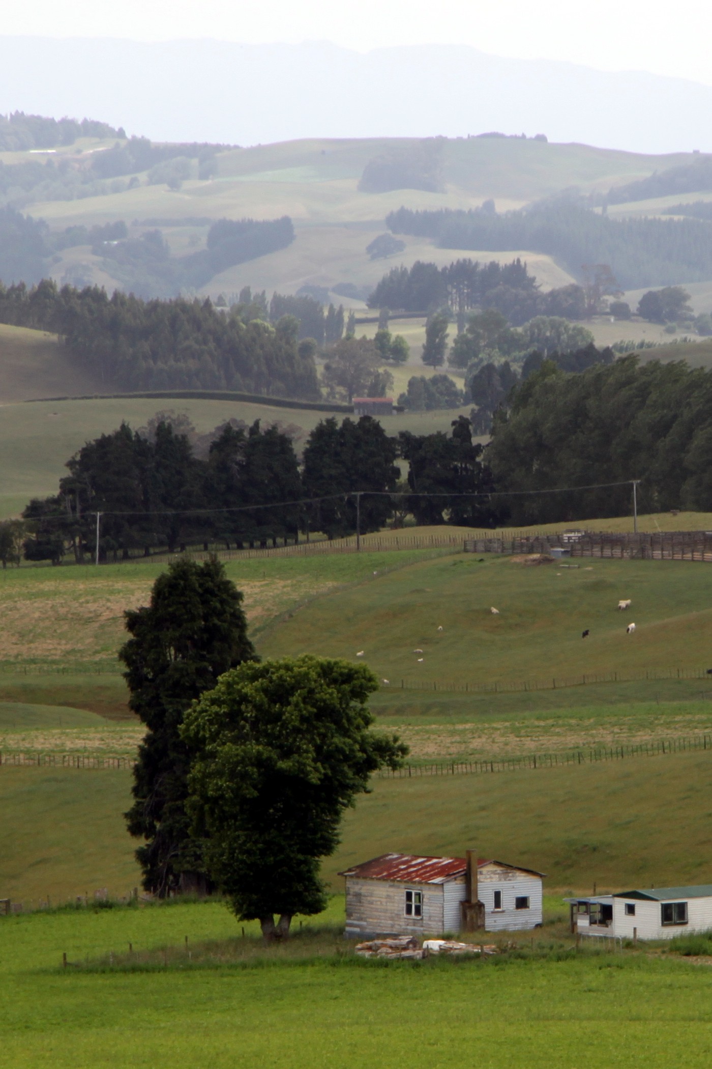
Old house, Scotsmans Valley, Waikato, New Zealand
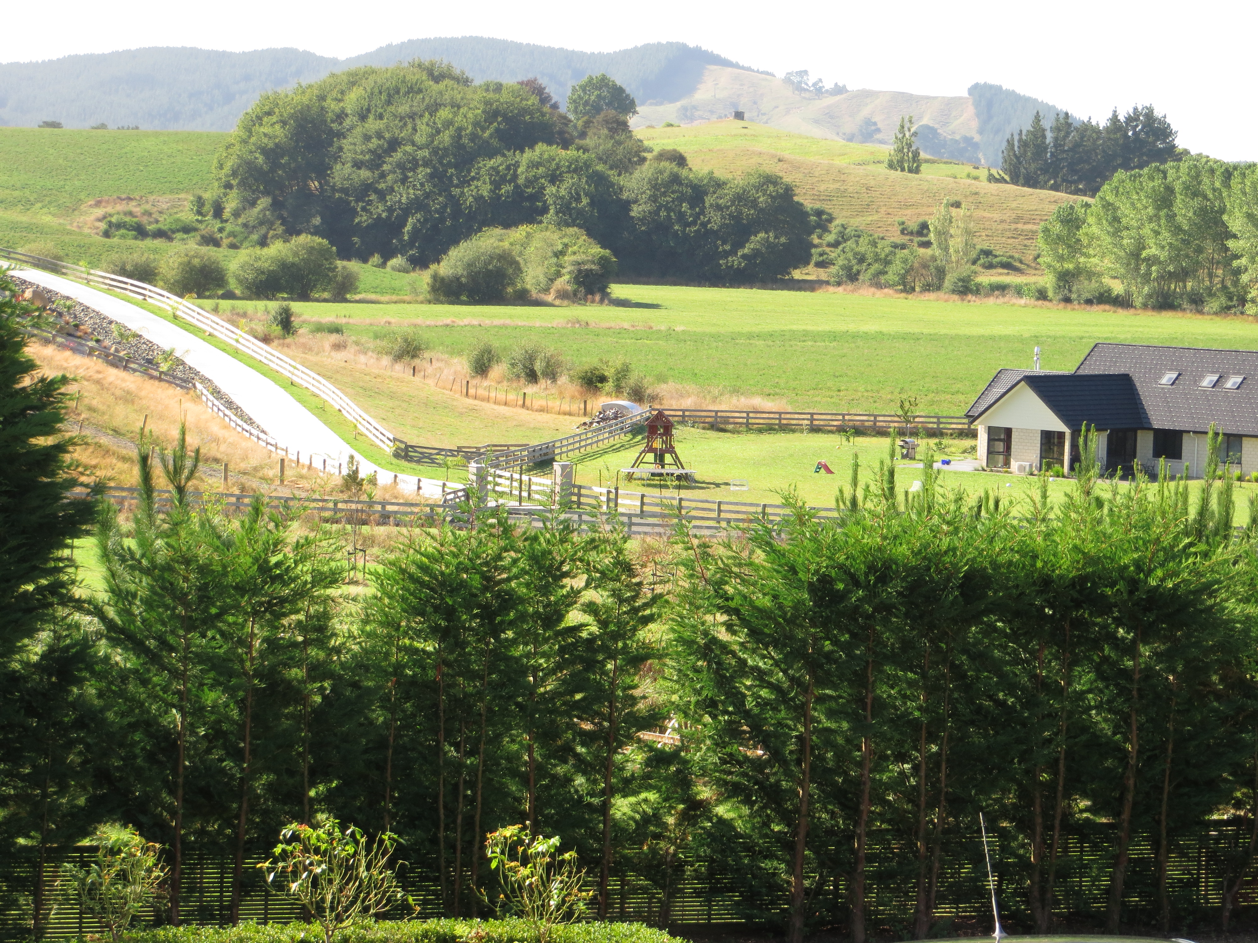
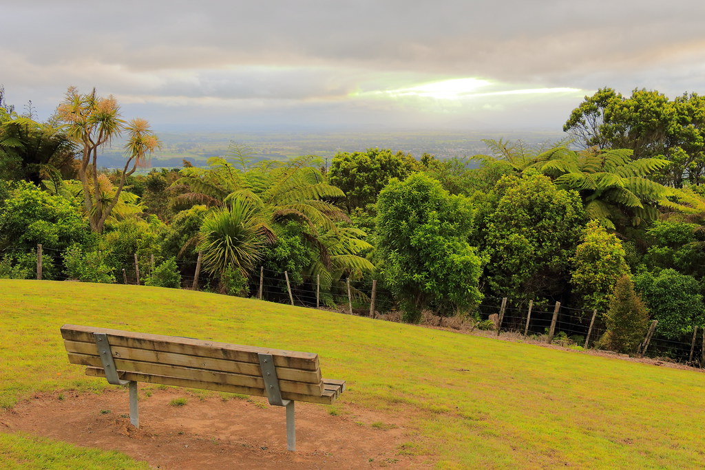
Scenic View from the Stable
Topographic Map of Southey Street, Southey St, Leamington, Cambridge, New Zealand
Find elevation by address:

Places near Southey Street, Southey St, Leamington, Cambridge, New Zealand:
36a Moore St
12 Stevenson Pl
16b Shelley Street
Leamington
15 Kingdon St
Harcourts Cambridge
Cambridge Nz Post & Kiwibank
13 Williamson St
Cambridge
Vogel Place
1 Grosvenor St
32 Laurent Rd
Karapiro
Pukemoremore
Karapiro Road
Hobbiton Movie Set
Hobbiton Village
The Party Tree
Hinuera Rugby Club
Hinuera School
Recent Searches:
- Elevation of Corso Fratelli Cairoli, 35, Macerata MC, Italy
- Elevation of Tallevast Rd, Sarasota, FL, USA
- Elevation of 4th St E, Sonoma, CA, USA
- Elevation of Black Hollow Rd, Pennsdale, PA, USA
- Elevation of Oakland Ave, Williamsport, PA, USA
- Elevation of Pedrógão Grande, Portugal
- Elevation of Klee Dr, Martinsburg, WV, USA
- Elevation of Via Roma, Pieranica CR, Italy
- Elevation of Tavkvetili Mountain, Georgia
- Elevation of Hartfords Bluff Cir, Mt Pleasant, SC, USA