Elevation of South Williams, NC, USA
Location: United States > North Carolina > Columbus County >
Longitude: -78.826938
Latitude: 34.1414034
Elevation: 30m / 98feet
Barometric Pressure: 101KPa
Elevation Map:
Satellite Map:
Related Photos:

It Lies Beneath

Nose Knows

Moss Abstract

Shattered View
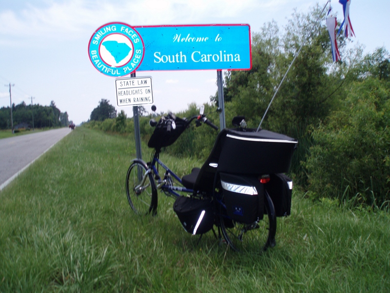
The official SC Welcome Sign

Such a reception--just for us

We have arrived

Sunset over Tabor City Sports Complex

Twin City Airport-Runway 8

Road Trip April 2014 310
Topographic Map of South Williams, NC, USA
Find elevation by address:

Places in South Williams, NC, USA:
Places near South Williams, NC, USA:
Tabor City
W 5th St, Tabor City, NC, USA
5298 Swamp Fox Hwy E
Peacock Rd, Whiteville, NC, USA
10 Mile Rd, Tabor City, NC, USA
2118 Fowler School Rd
Williams
1974 State Rd S-26-140
State Rd S-26-, Loris, SC, USA
553 Timber Creek Dr
645 Timber Creek Dr
Timber Creek Drive
Russ Road
Stags Leap Court
Long Meadow Drive
321 Long Meadow Dr
359 Long Meadow Dr
Diamondback Golf Club
Williams
957 Sc-9
Recent Searches:
- Elevation of 30 Oak Lawn Dr, Barkhamsted, CT, USA
- Elevation of Luther Road, Luther Rd, Auburn, CA, USA
- Elevation of Unnamed Road, Respublika Severnaya Osetiya — Alaniya, Russia
- Elevation of Verkhny Fiagdon, North Ossetia–Alania Republic, Russia
- Elevation of F. Viola Hiway, San Rafael, Bulacan, Philippines
- Elevation of Herbage Dr, Gulfport, MS, USA
- Elevation of Lilac Cir, Haldimand, ON N3W 2G9, Canada
- Elevation of Harrod Branch Road, Harrod Branch Rd, Kentucky, USA
- Elevation of Wyndham Grand Barbados Sam Lords Castle All Inclusive Resort, End of Belair Road, Long Bay, Bridgetown Barbados
- Elevation of Iga Trl, Maggie Valley, NC, USA