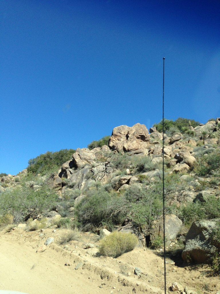
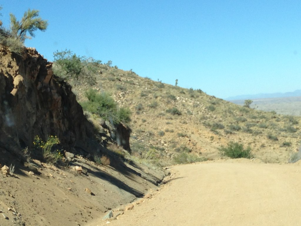
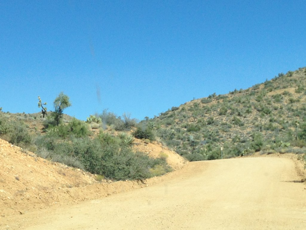
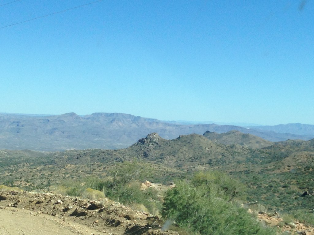
Elevation of South Tom Mix Road, S Tom Mix Rd, Yucca, AZ, USA
Location: United States > Arizona > Mohave County > Yucca >
Longitude: -113.95321
Latitude: 34.6262192
Elevation: 722m / 2369feet
Barometric Pressure: 93KPa
Elevation Map:
Satellite Map:
Related Photos:


Elf Owl (Micrathene whitneyi)_DSC9940-editCC

Desert Sunrise
Topographic Map of South Tom Mix Road, S Tom Mix Rd, Yucca, AZ, USA
Find elevation by address:

Places near South Tom Mix Road, S Tom Mix Rd, Yucca, AZ, USA:
20435 S Tortoise Rd
21811 S Javalina Rd
4312 E Cactus Wren Dr
5250 E Fireside Dr
19905 S Wild Bill Rd
2322 E Cowboy Dr
South Doc Holliday Road
14415 Ernest Rd
939 W Yellow Bird Dr
Rillito Road
Howard Road
Via Palma, Lake Havasu City, AZ, USA
16774 Lawton Rd
Havasu
Yucca
4050 Lakeview Rd
4241 Trotwood Dr
4056 Calimesa Dr
Vagabond Drive
4000 Mcculloch Blvd N
Recent Searches:
- Elevation of Unnamed Road, Respublika Severnaya Osetiya — Alaniya, Russia
- Elevation of Verkhny Fiagdon, North Ossetia–Alania Republic, Russia
- Elevation of F. Viola Hiway, San Rafael, Bulacan, Philippines
- Elevation of Herbage Dr, Gulfport, MS, USA
- Elevation of Lilac Cir, Haldimand, ON N3W 2G9, Canada
- Elevation of Harrod Branch Road, Harrod Branch Rd, Kentucky, USA
- Elevation of Wyndham Grand Barbados Sam Lords Castle All Inclusive Resort, End of Belair Road, Long Bay, Bridgetown Barbados
- Elevation of Iga Trl, Maggie Valley, NC, USA
- Elevation of N Co Rd 31D, Loveland, CO, USA
- Elevation of Lindever Ln, Palmetto, FL, USA