Elevation of South Mamm Peak, Colorado, USA
Location: United States > Colorado > Collbran >
Longitude: -107.86728
Latitude: 39.3713682
Elevation: 3284m / 10774feet
Barometric Pressure: 68KPa
Elevation Map:
Satellite Map:
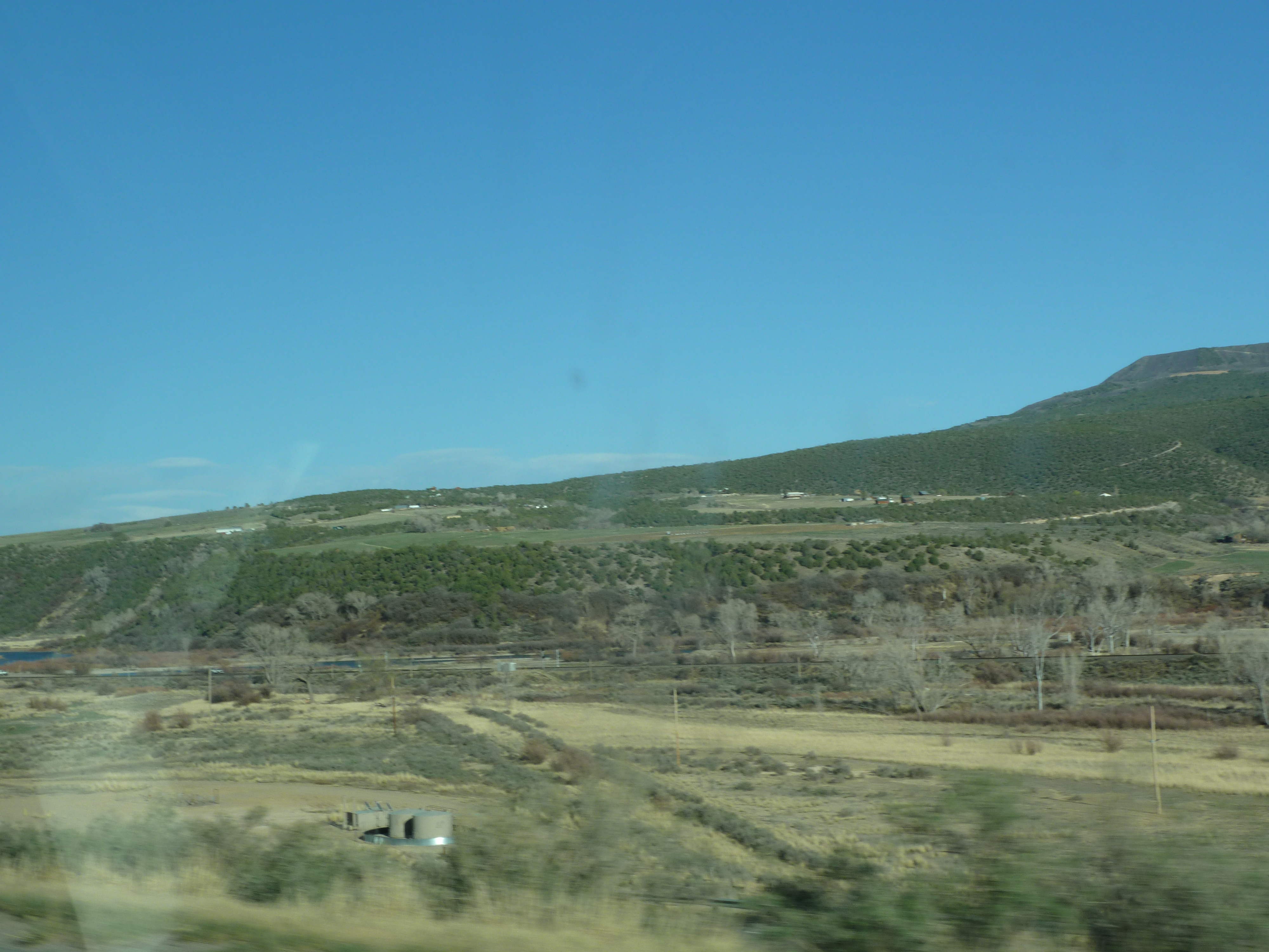
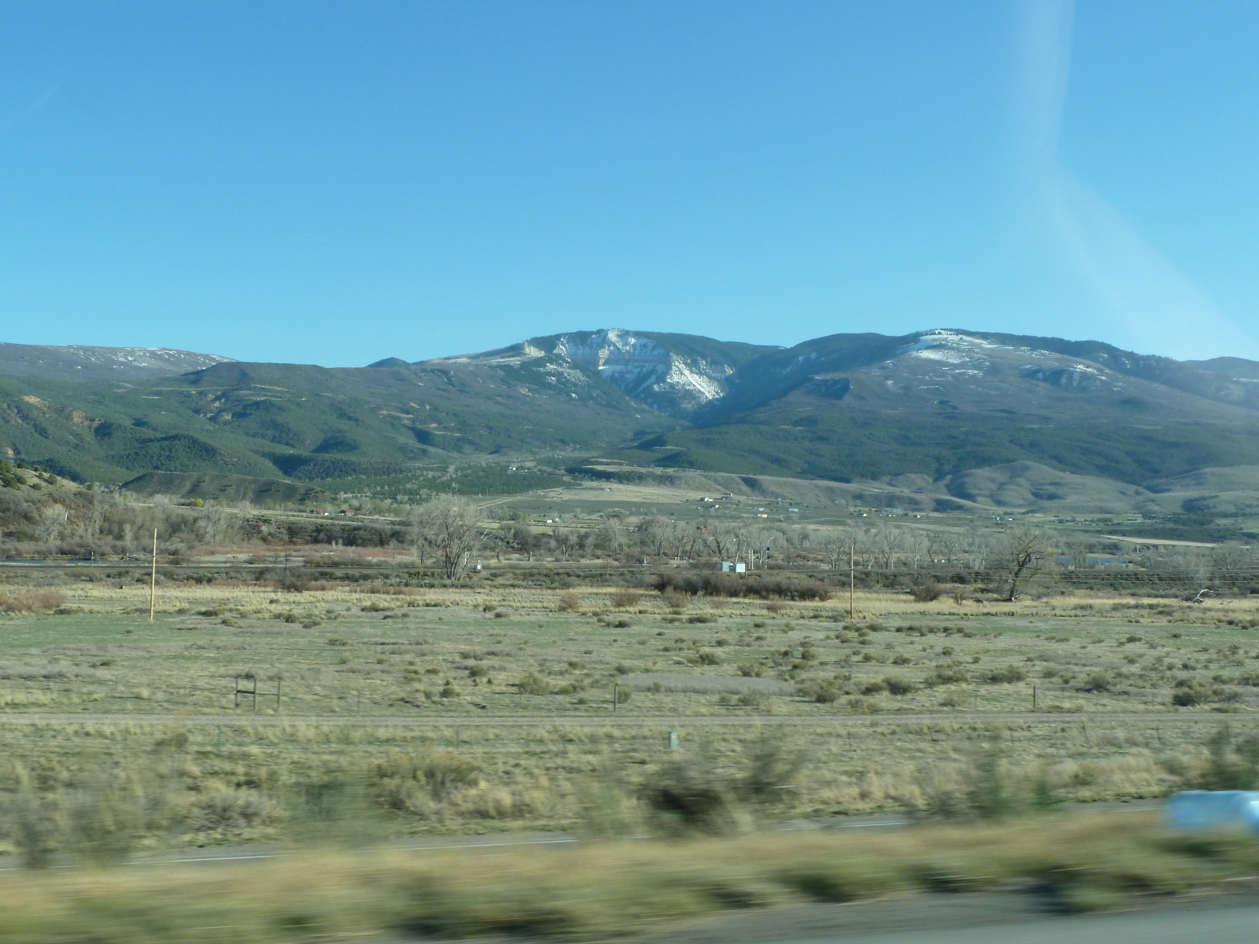
Related Photos:
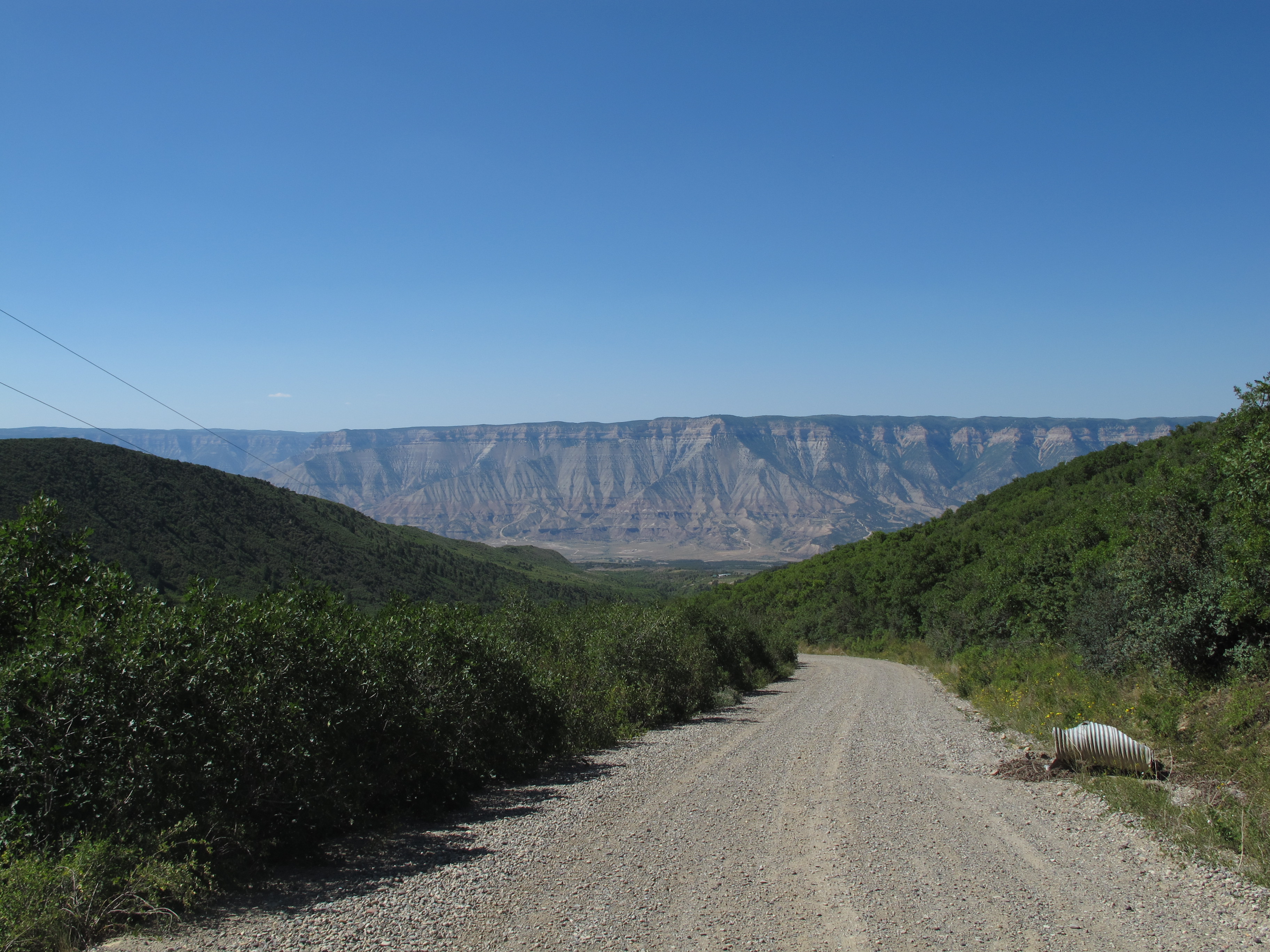
View from the Rulison Site
70 views
70 views

70 views

70 views
Topographic Map of South Mamm Peak, Colorado, USA
Find elevation by address:

Places near South Mamm Peak, Colorado, USA:
63278 Hwy 330 E
61971 Hwy 330 E
64701 Hwy 330 E
20271 58 6/10 Rd
Camp 7 - Camp & Conference Center
16563 58 6/10 Rd
70940 Hwy 330 E
Collbran
57840 P E Rd
Vega Reservoir
Horse Mountain
13737 57 Rd
Baldridge Point
Hightower Mountain
Plateau Ridge
53478 Co-330
55776 J E 3/10 Rd
Elk Lake
Molina
10690 54 7/10 Rd
Recent Searches:
- Elevation of Corso Fratelli Cairoli, 35, Macerata MC, Italy
- Elevation of Tallevast Rd, Sarasota, FL, USA
- Elevation of 4th St E, Sonoma, CA, USA
- Elevation of Black Hollow Rd, Pennsdale, PA, USA
- Elevation of Oakland Ave, Williamsport, PA, USA
- Elevation of Pedrógão Grande, Portugal
- Elevation of Klee Dr, Martinsburg, WV, USA
- Elevation of Via Roma, Pieranica CR, Italy
- Elevation of Tavkvetili Mountain, Georgia
- Elevation of Hartfords Bluff Cir, Mt Pleasant, SC, USA