Elevation of South Loup, NE, USA
Location: United States > Nebraska > Hall County >
Longitude: -98.682063
Latitude: 41.01383
Elevation: 609m / 1998feet
Barometric Pressure: 94KPa
Elevation Map:
Satellite Map:
Related Photos:

Nile Views by night - Cairo

Central Nebraska Ranch (Sherman County, Nebraska)

Road into Clouds Ii

Back end of HP
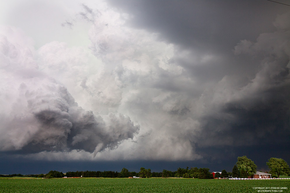
Bizarre HP funnel

Bizarre funnel

White-bearded Robber Fly

Central Nebraska Ranch (Sherman County, Nebraska)

Central Nebraska Lanscape (Hall County, Nebraska)

Central Nebraska Lanscape (Hall County, Nebraska)
Topographic Map of South Loup, NE, USA
Find elevation by address:

Places in South Loup, NE, USA:
Places near South Loup, NE, USA:
Cairo
Hall County
Jackson
102 E 13th St
102 E 13th St
102 E 13th St
Wood River
Howard County
Ravenna
Wood River
6300 S Alda Rd
7021 W Wood River Rd
7th St, St Paul, NE, USA
Saint Paul
102 Custer St
505 N St
901 13th Ave
1304 Hardy Rd
O St, Loup City, NE, USA
Myoma St, Hazard, NE, USA
Recent Searches:
- Elevation of Vista Blvd, Sparks, NV, USA
- Elevation of 15th Ave SE, St. Petersburg, FL, USA
- Elevation of Beall Road, Beall Rd, Florida, USA
- Elevation of Leguwa, Nepal
- Elevation of County Rd, Enterprise, AL, USA
- Elevation of Kolchuginsky District, Vladimir Oblast, Russia
- Elevation of Shustino, Vladimir Oblast, Russia
- Elevation of Lampiasi St, Sarasota, FL, USA
- Elevation of Elwyn Dr, Roanoke Rapids, NC, USA
- Elevation of Congressional Dr, Stevensville, MD, USA