Elevation of South Fork White River, Colorado, USA
Location: United States > Colorado > Meeker >
Longitude: -107.44190
Latitude: 39.8570596
Elevation: 2430m / 7972feet
Barometric Pressure: 75KPa
Elevation Map:
Satellite Map:
Related Photos:
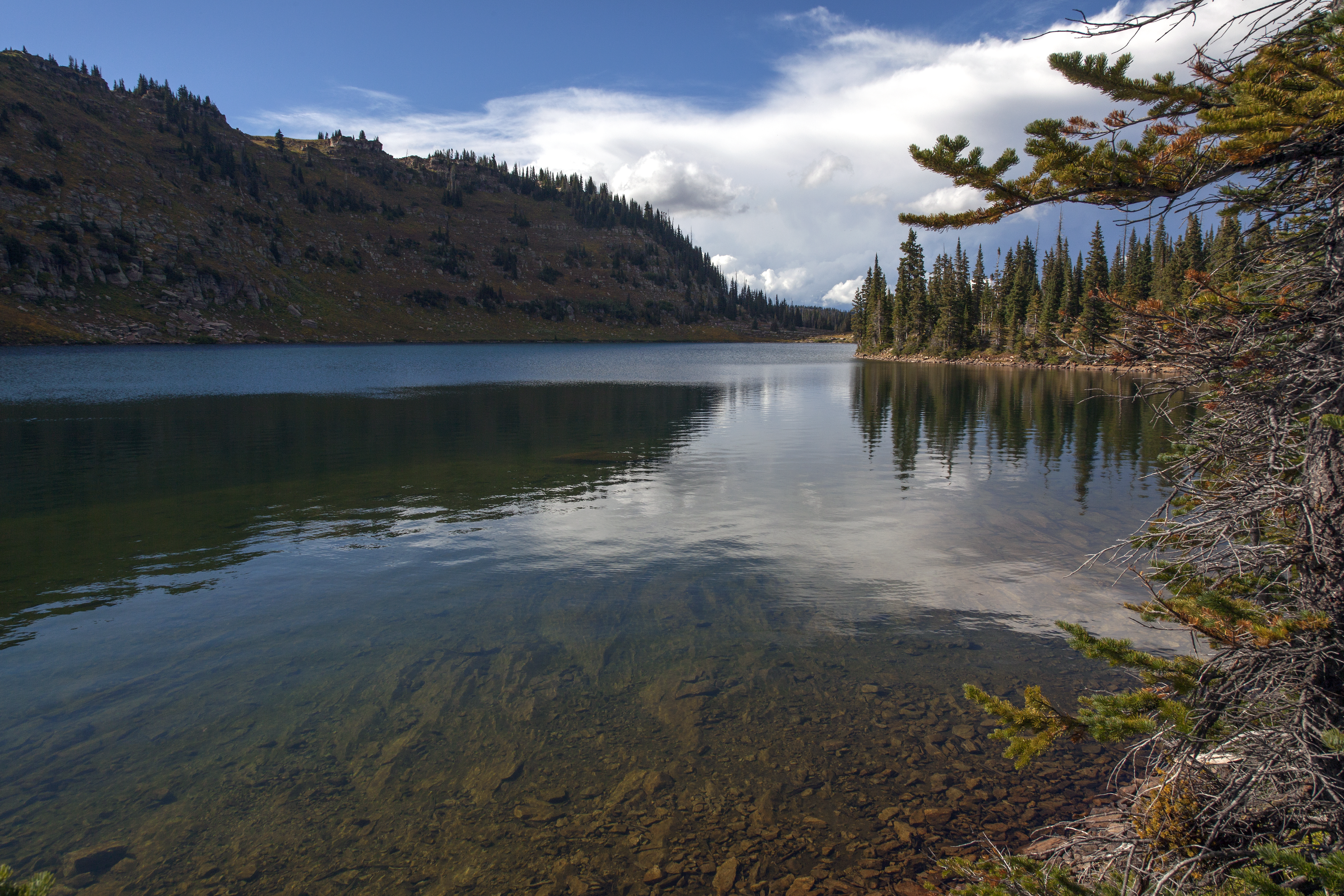
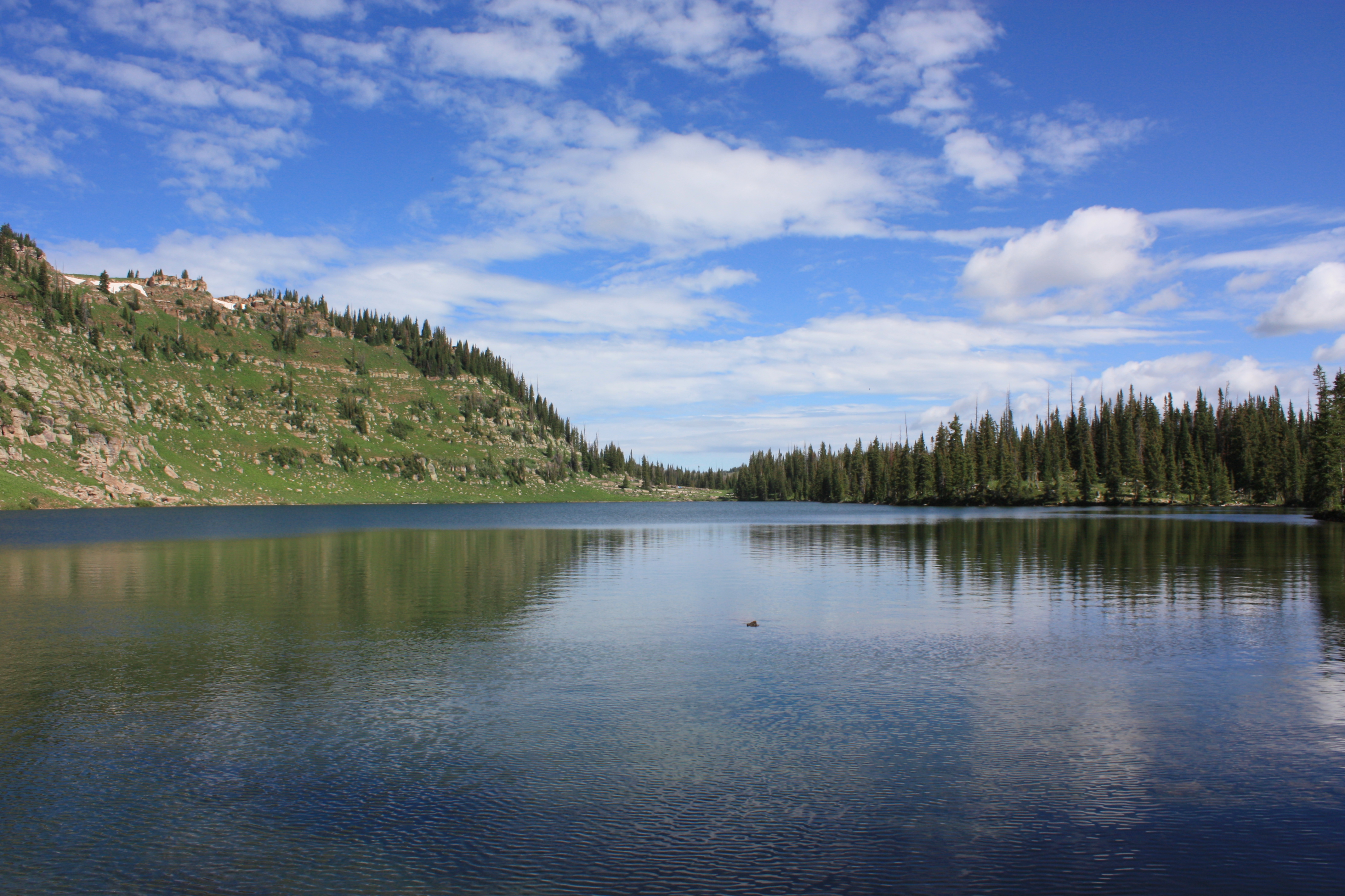
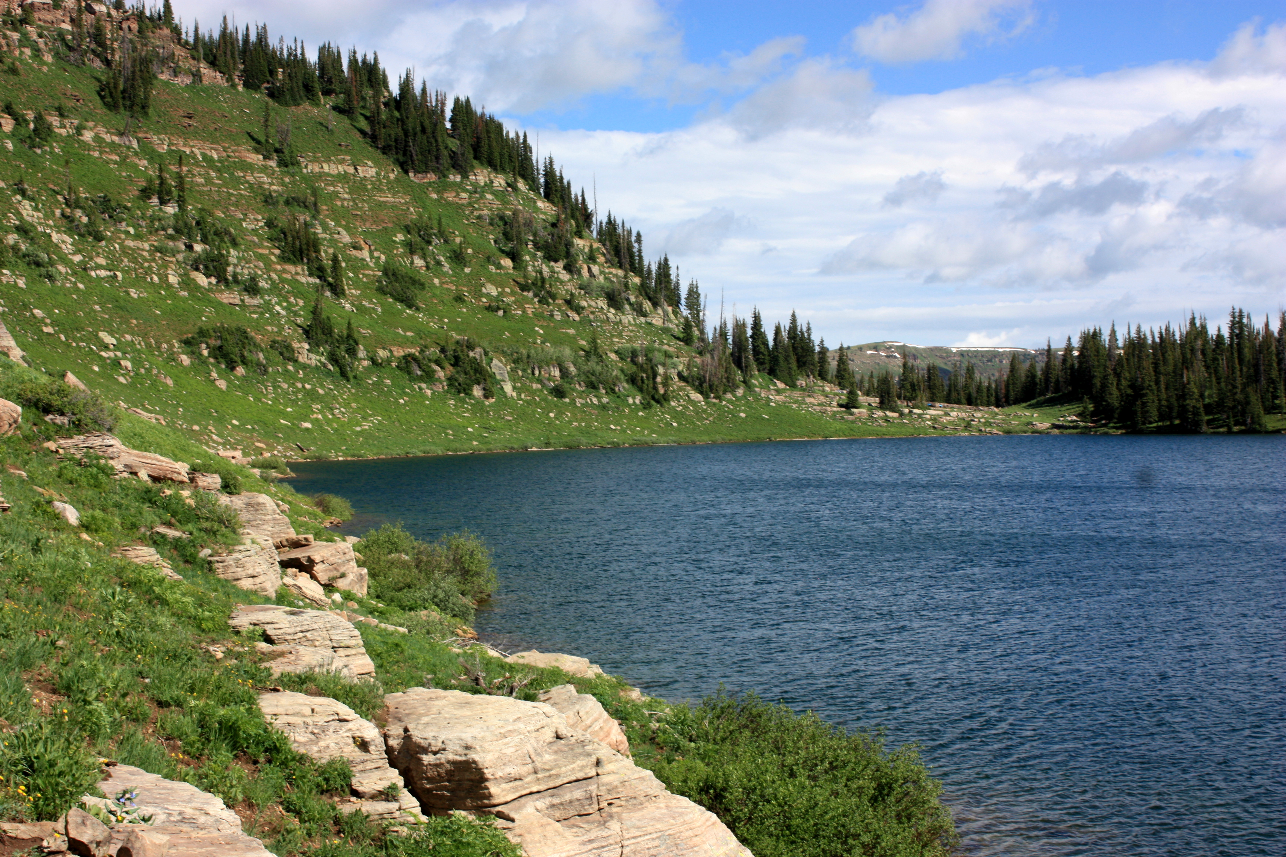
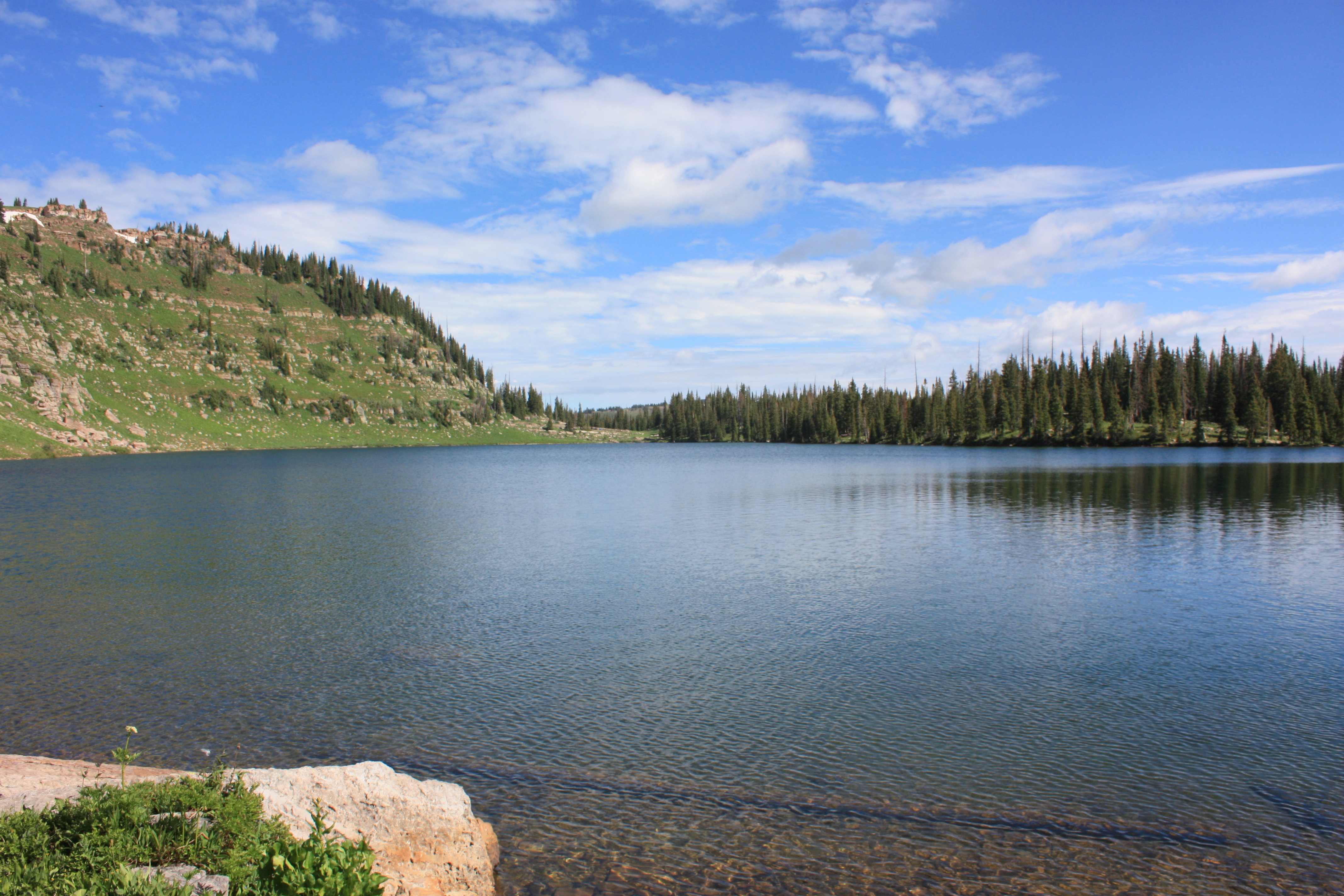
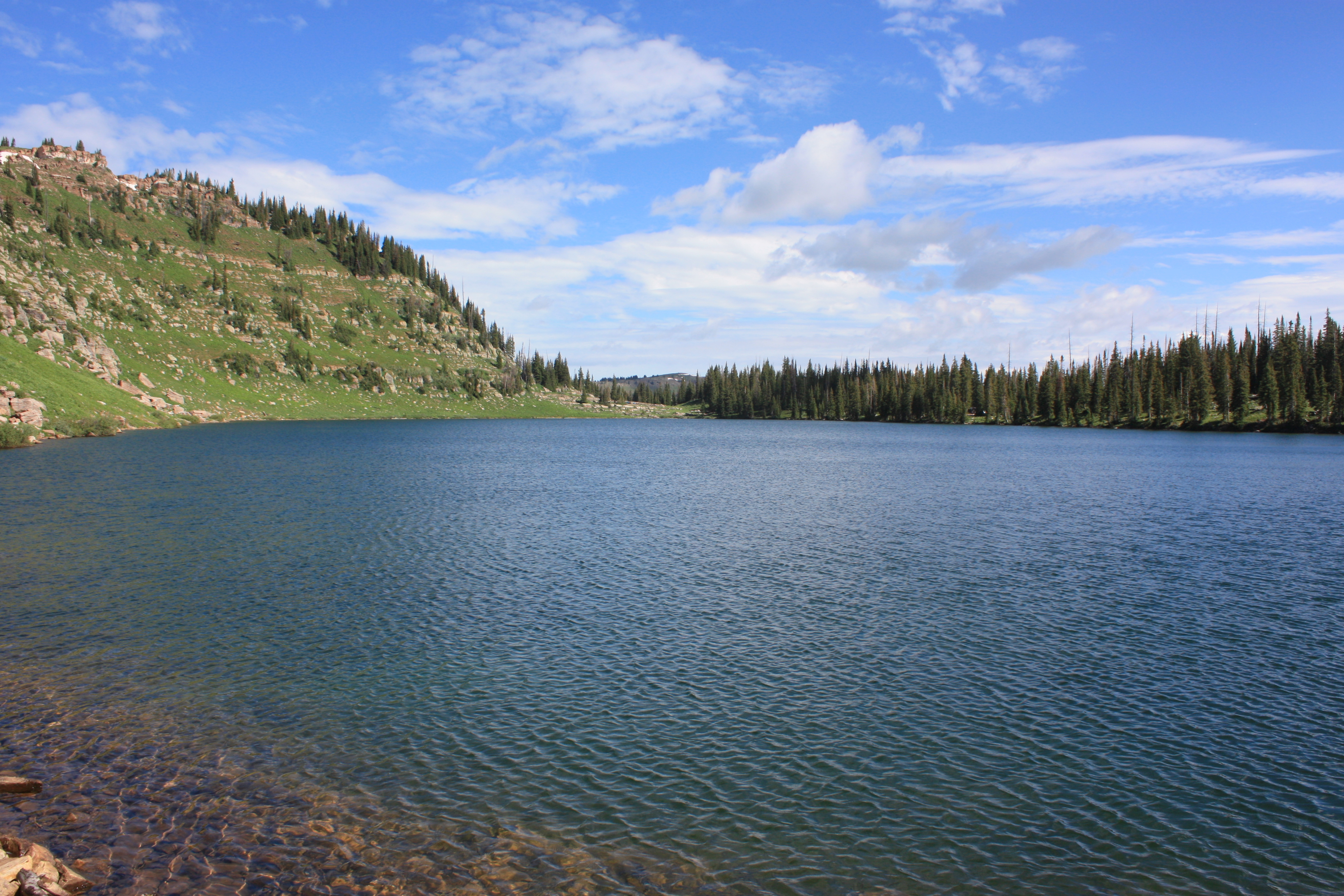
Adams Lake
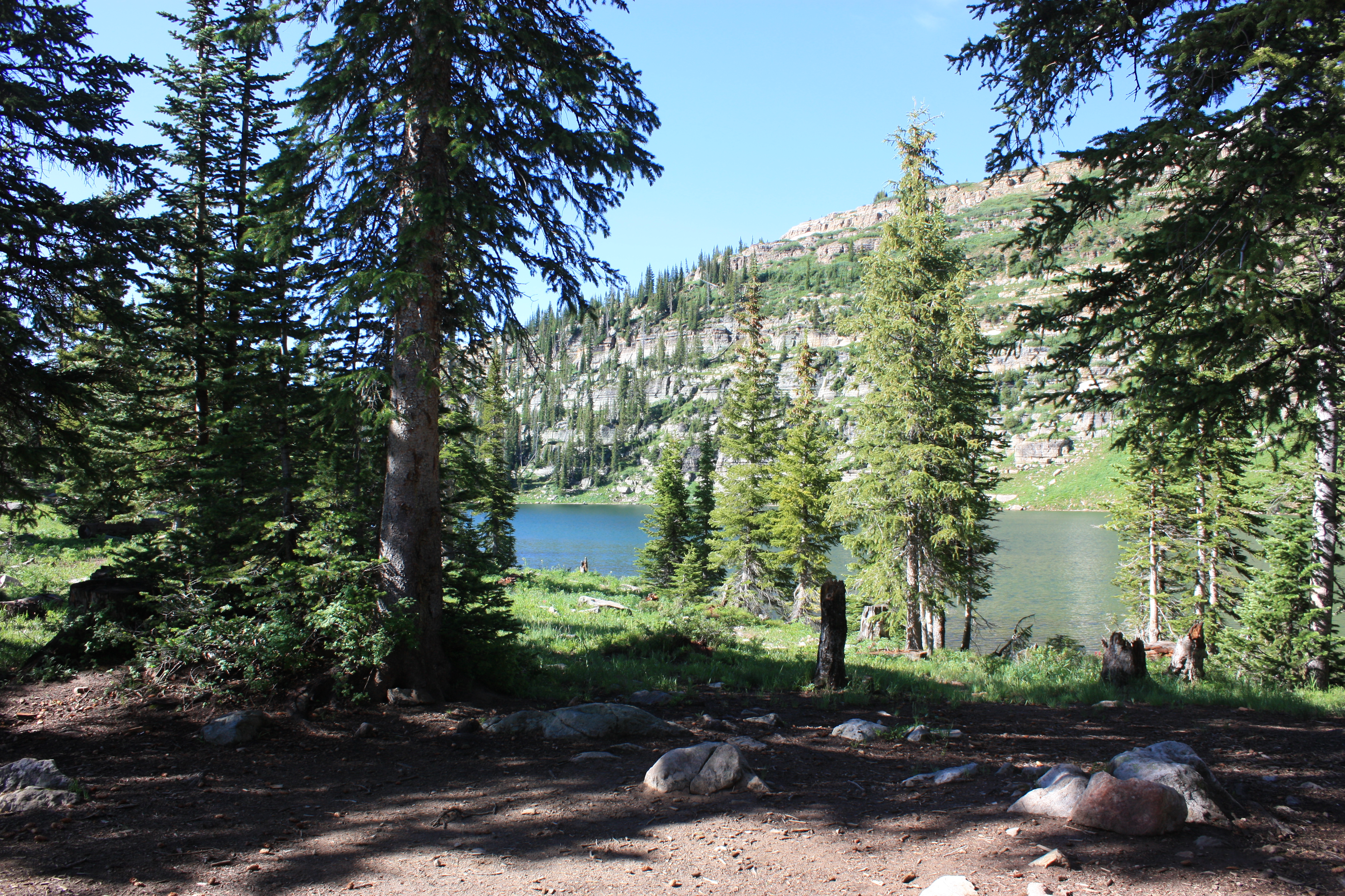
View from our campsite

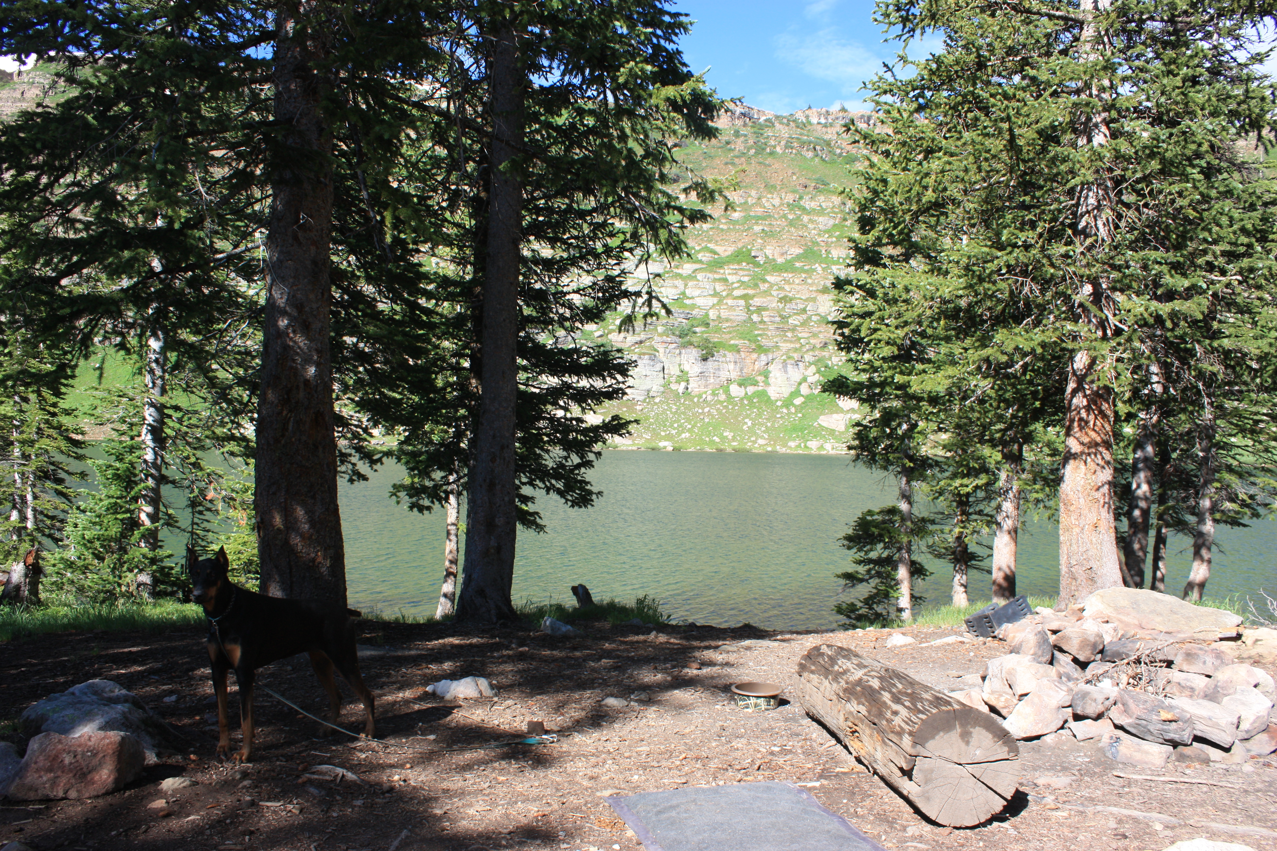
View from our campsite
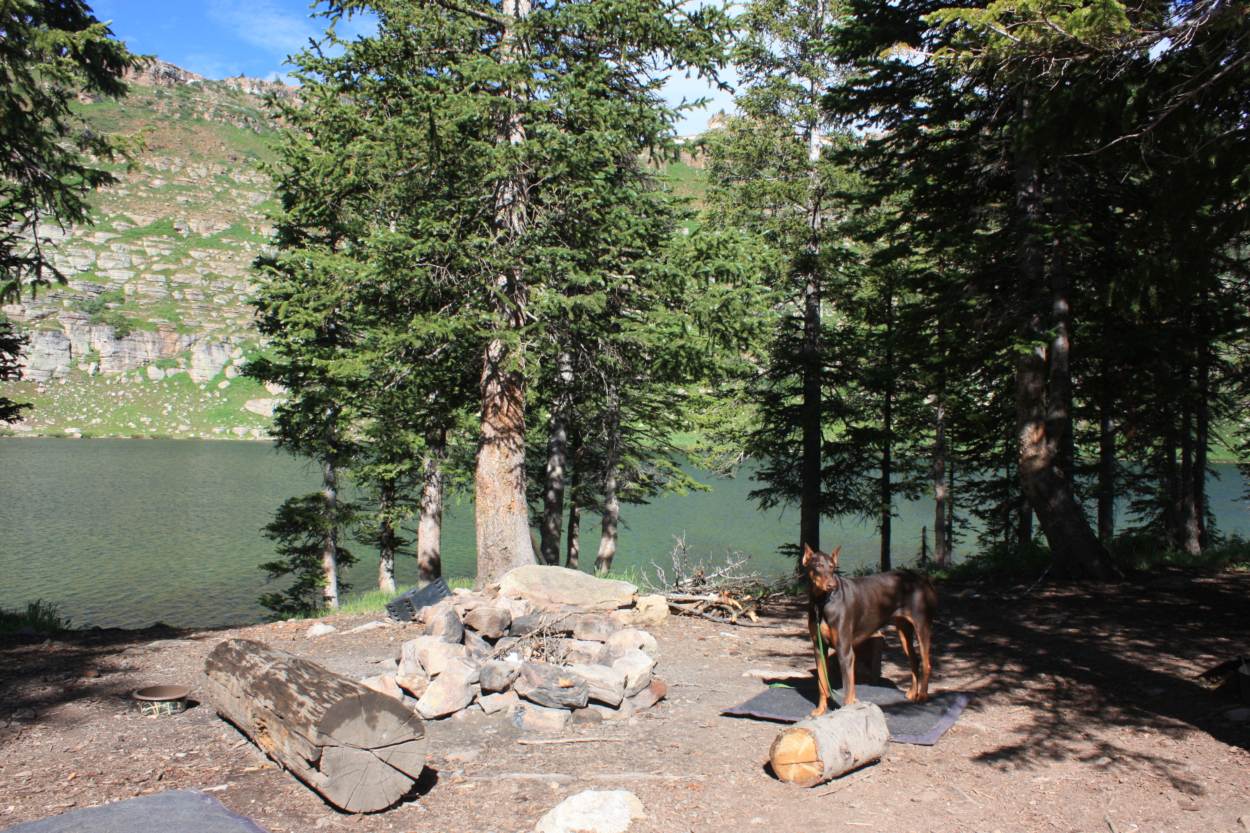
View from our campsite
View from our campsite

Symmetry & mist (Explored)
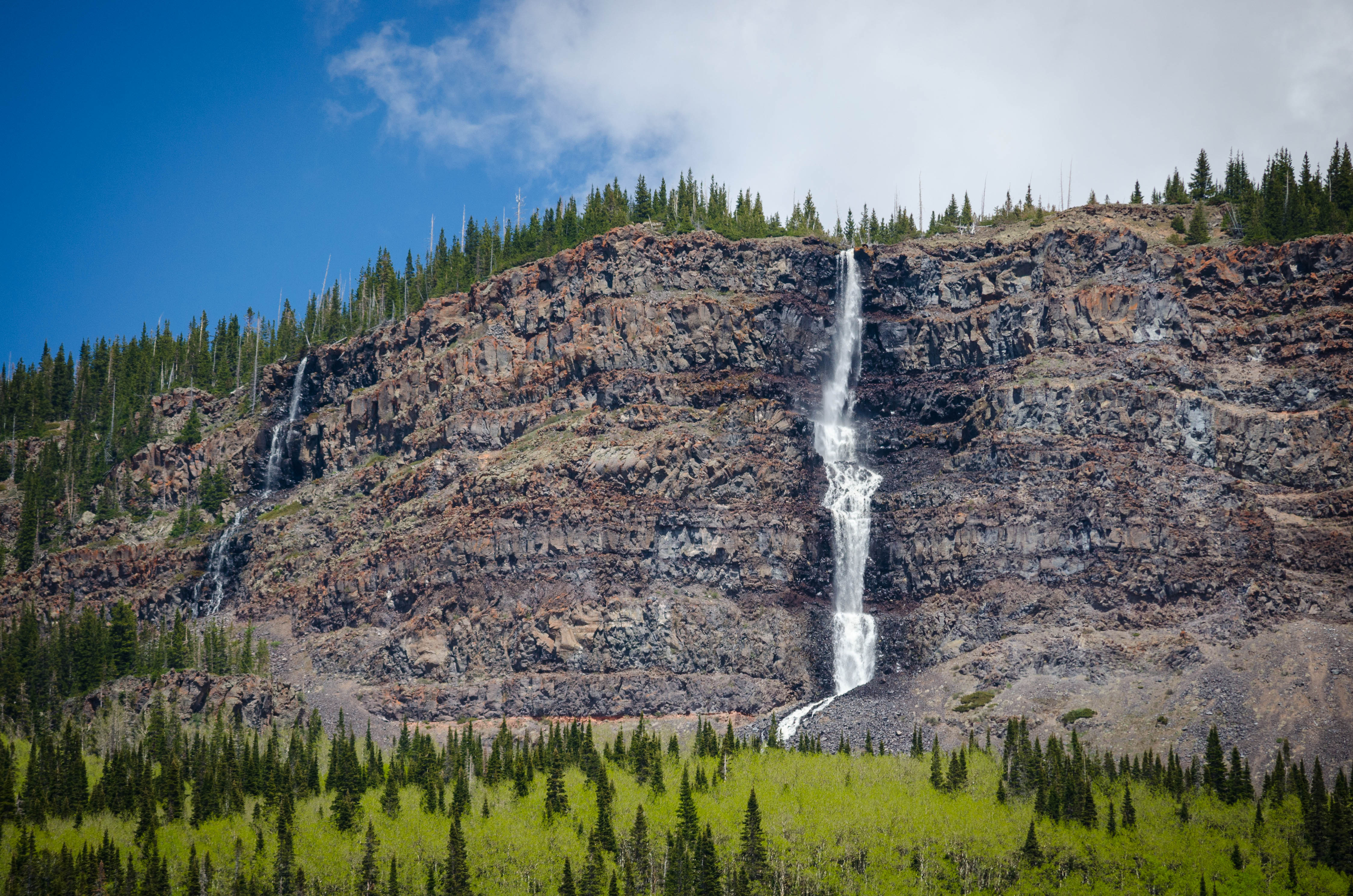
Seasonal Waterfall

Forest Green
Our fishing spot
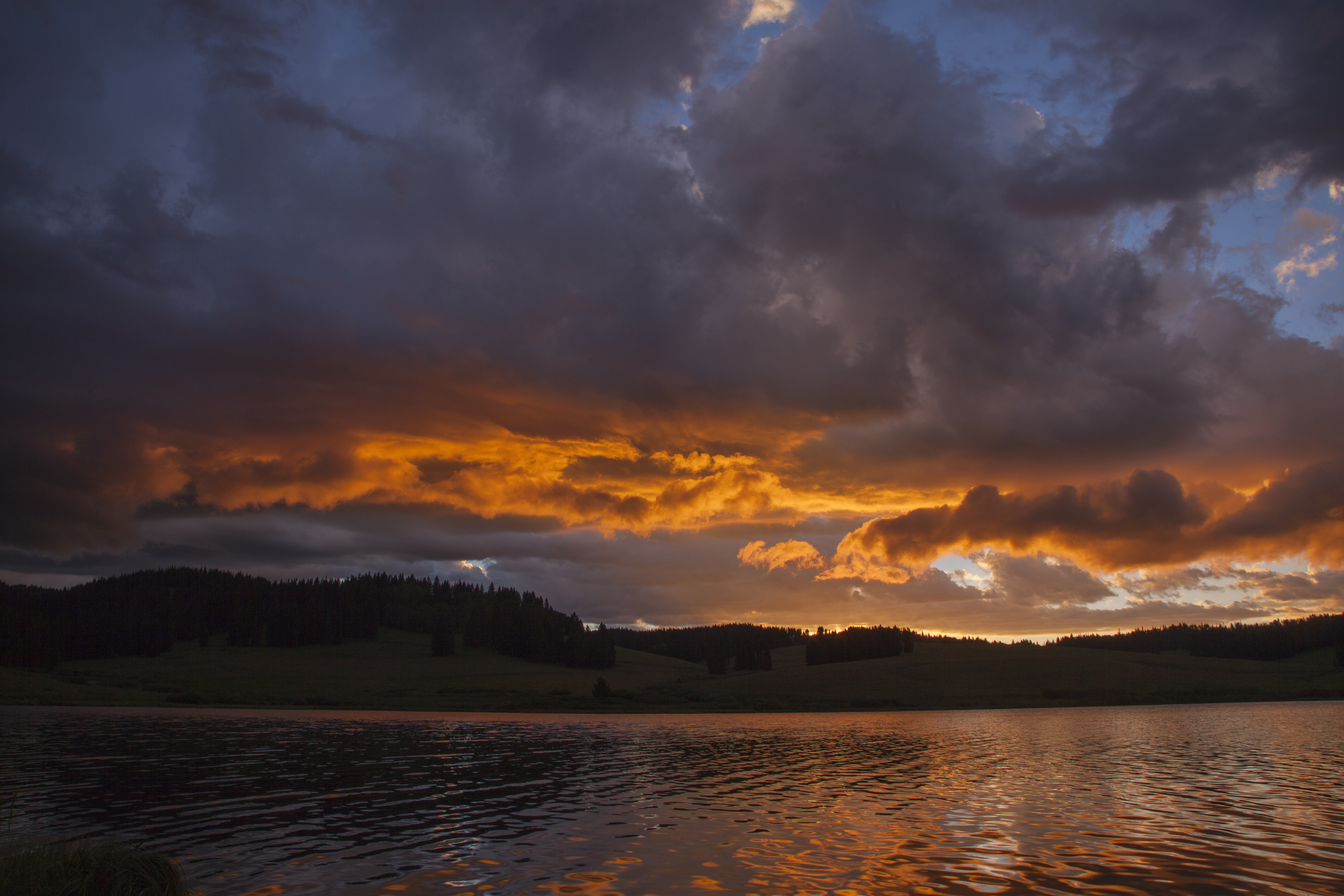
Meadow Lake Dawn
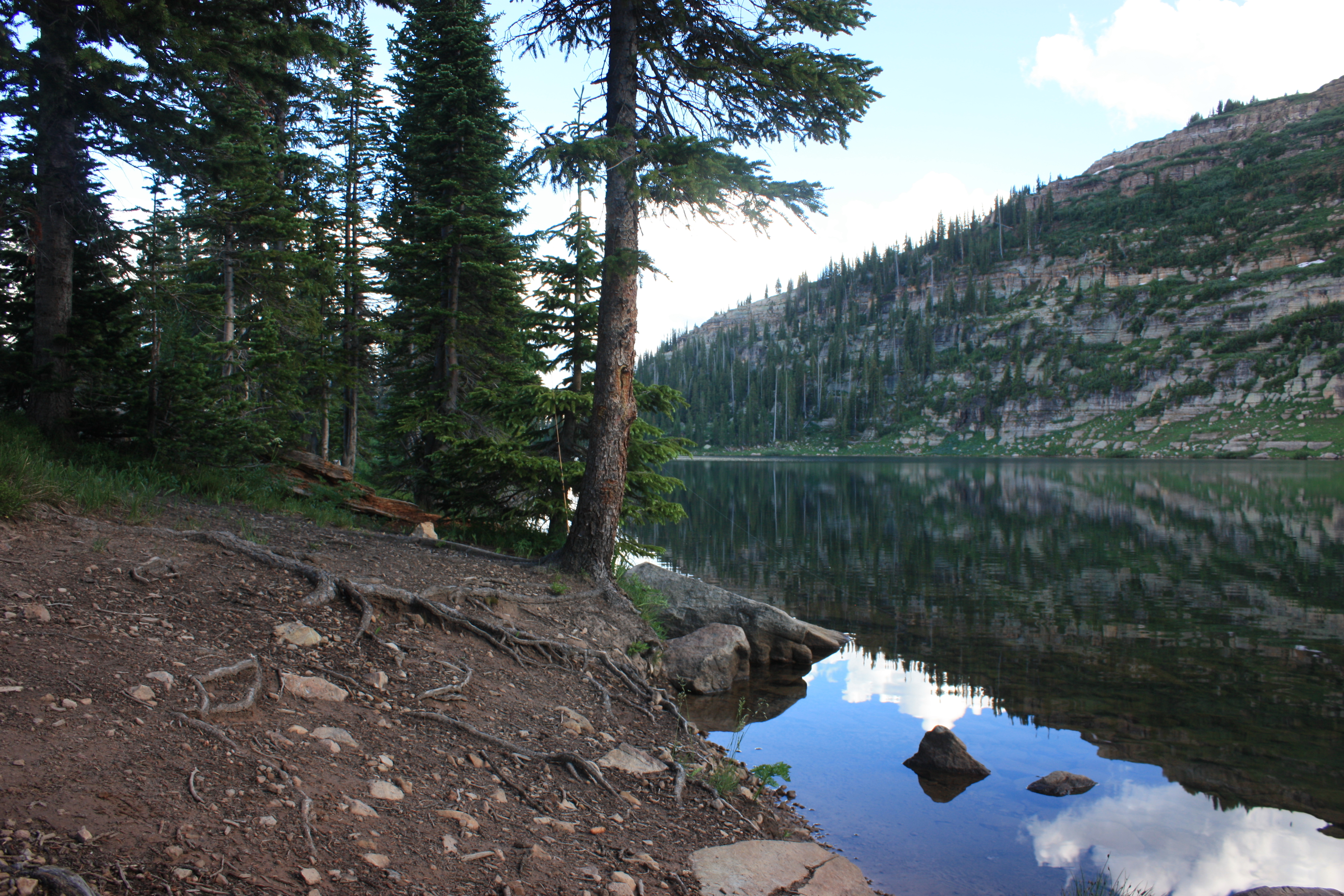
Hiking around the lake
Hiking around the lake
Hiking around the lake
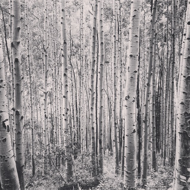
Aspens in Colorado.
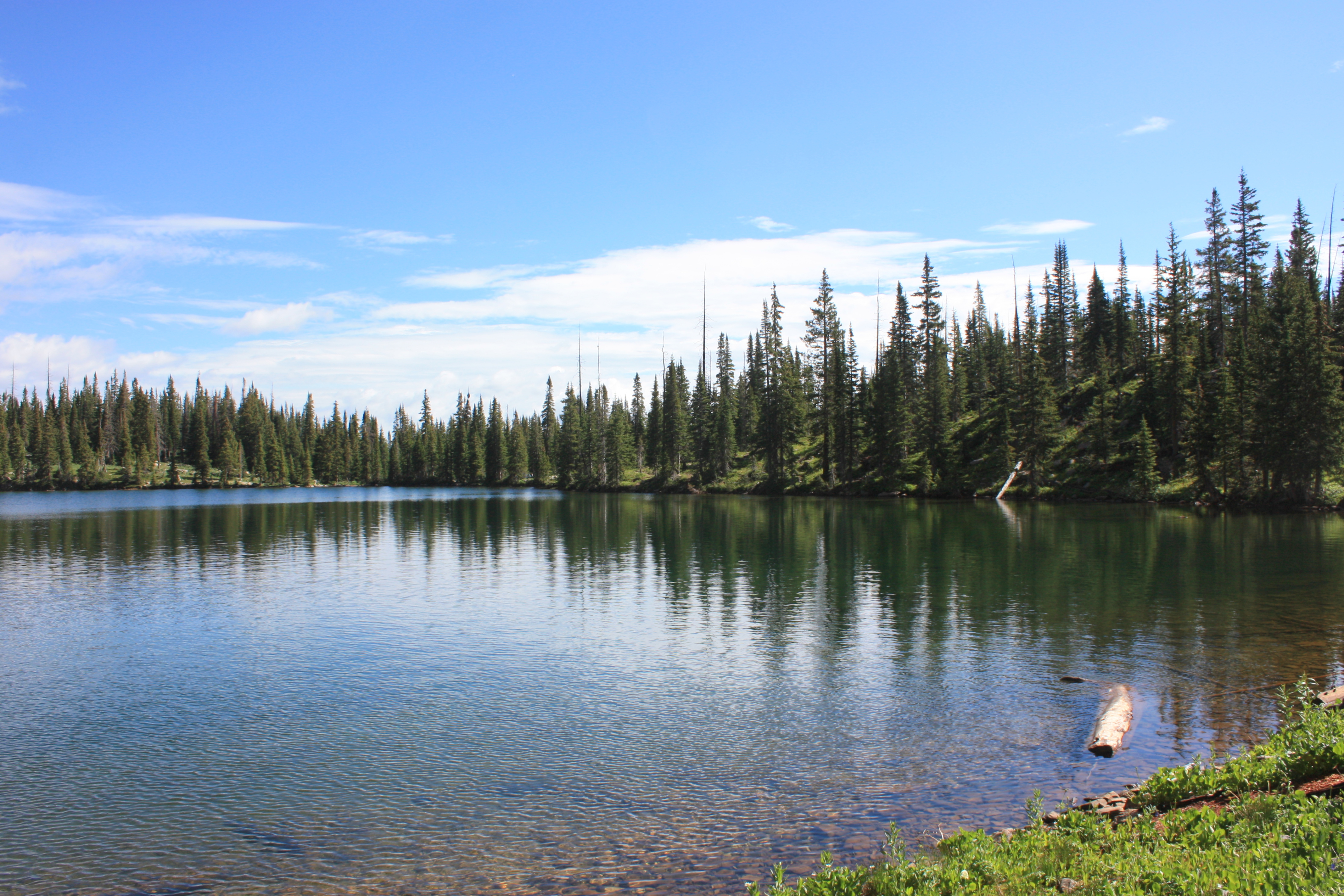
Hiking around the lake
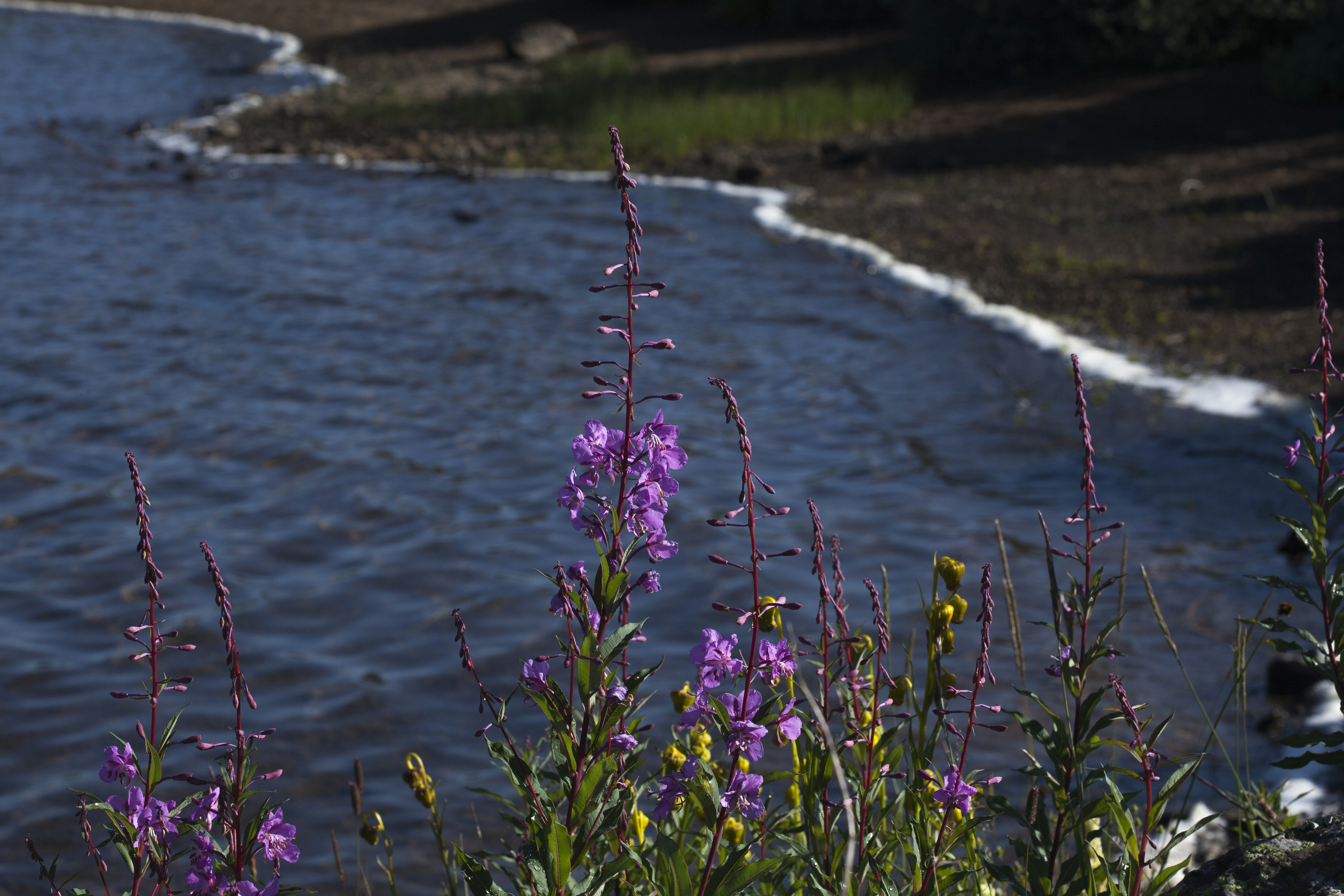
fireweed at Heart Lake
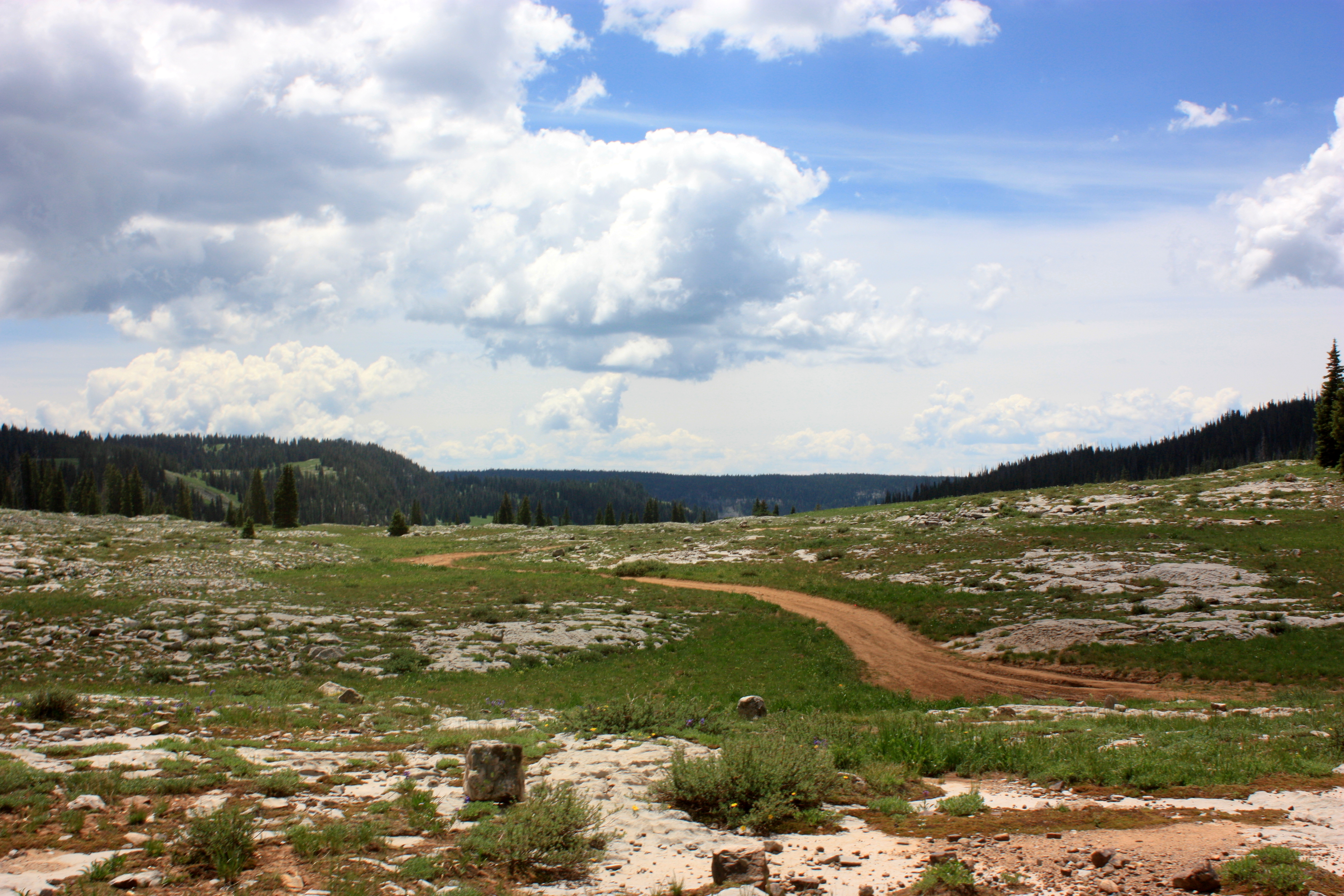
Off Road in Flat Tops
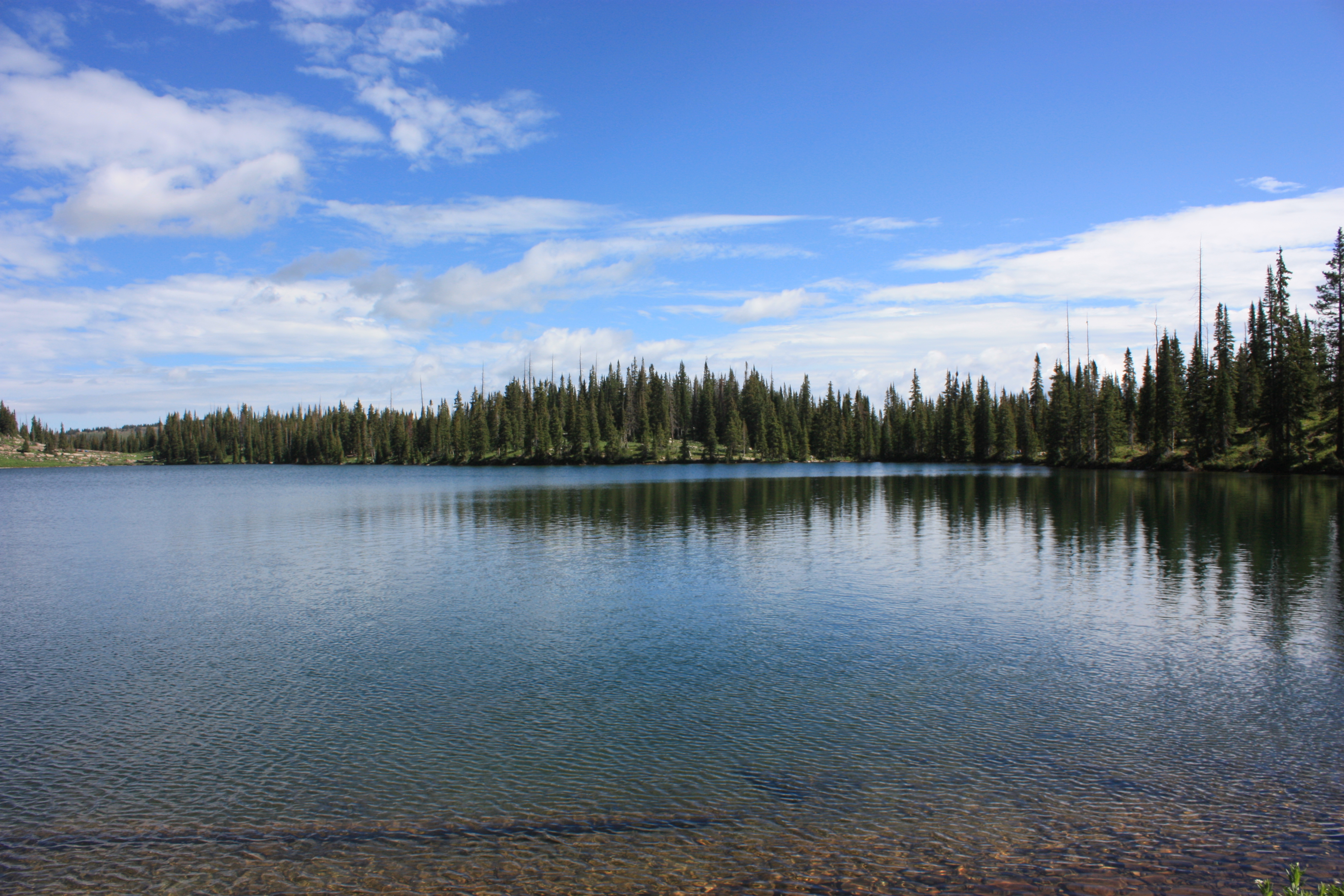
Hiking around the lake
Hiking around the lake
Hiking around the lake
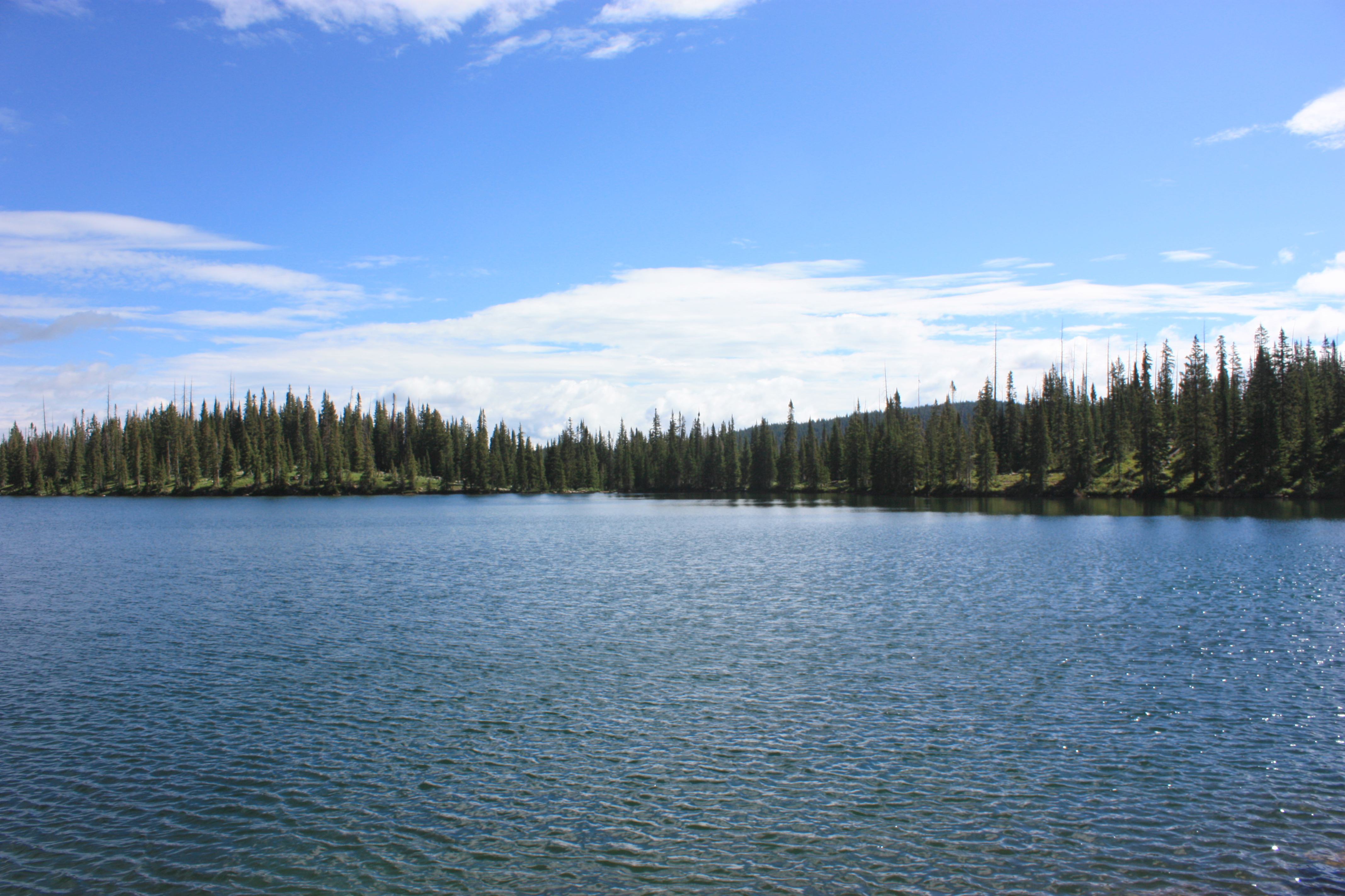
Hiking around the lake

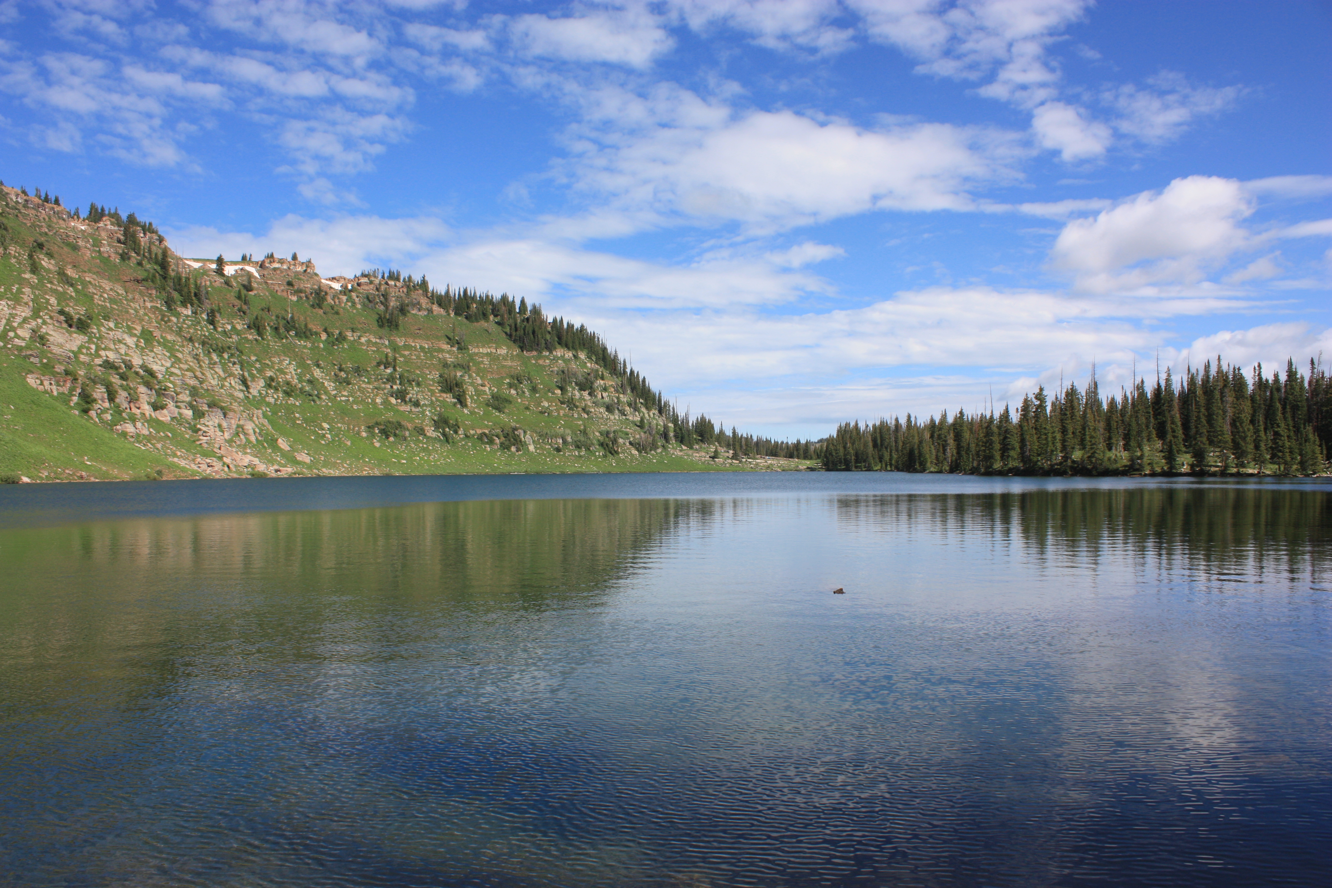
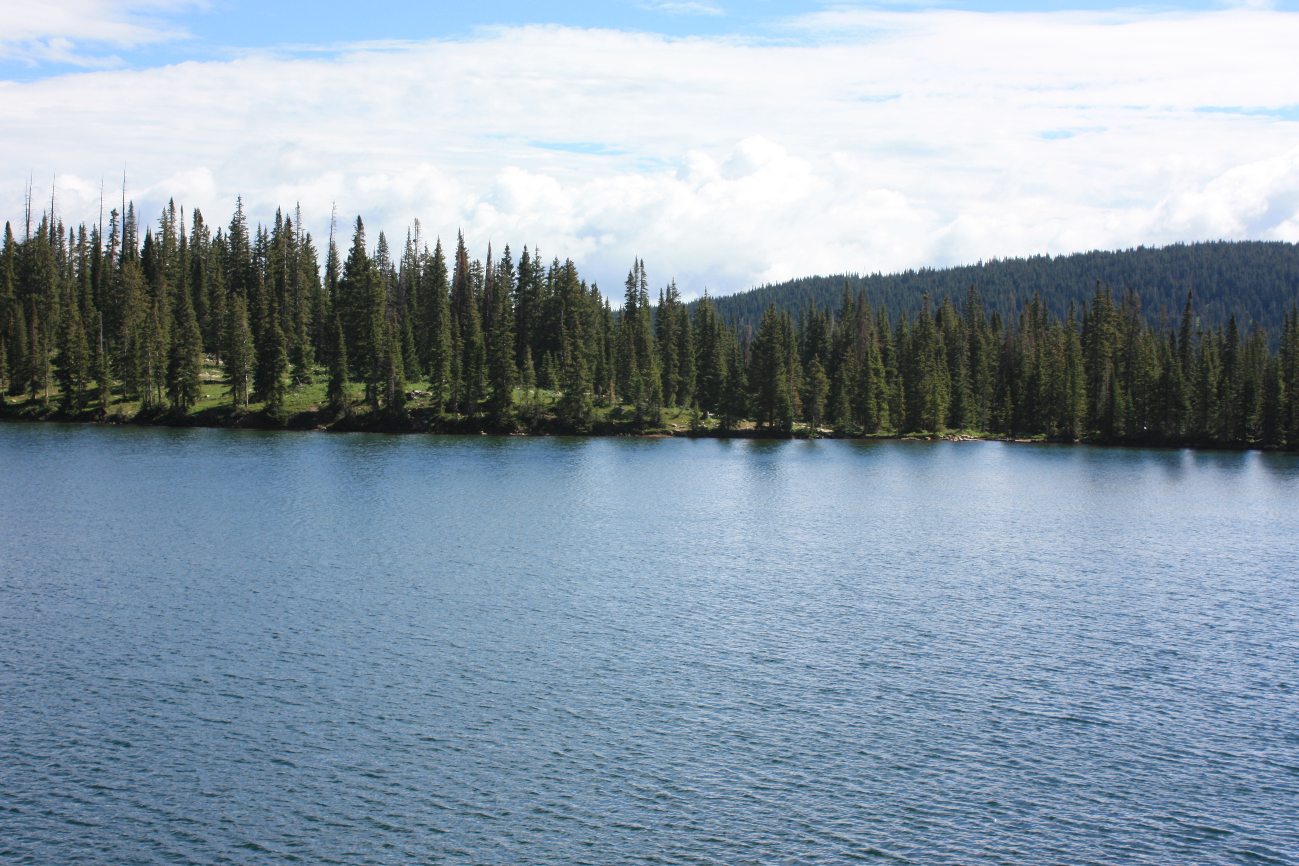
Lower Marvine Lake
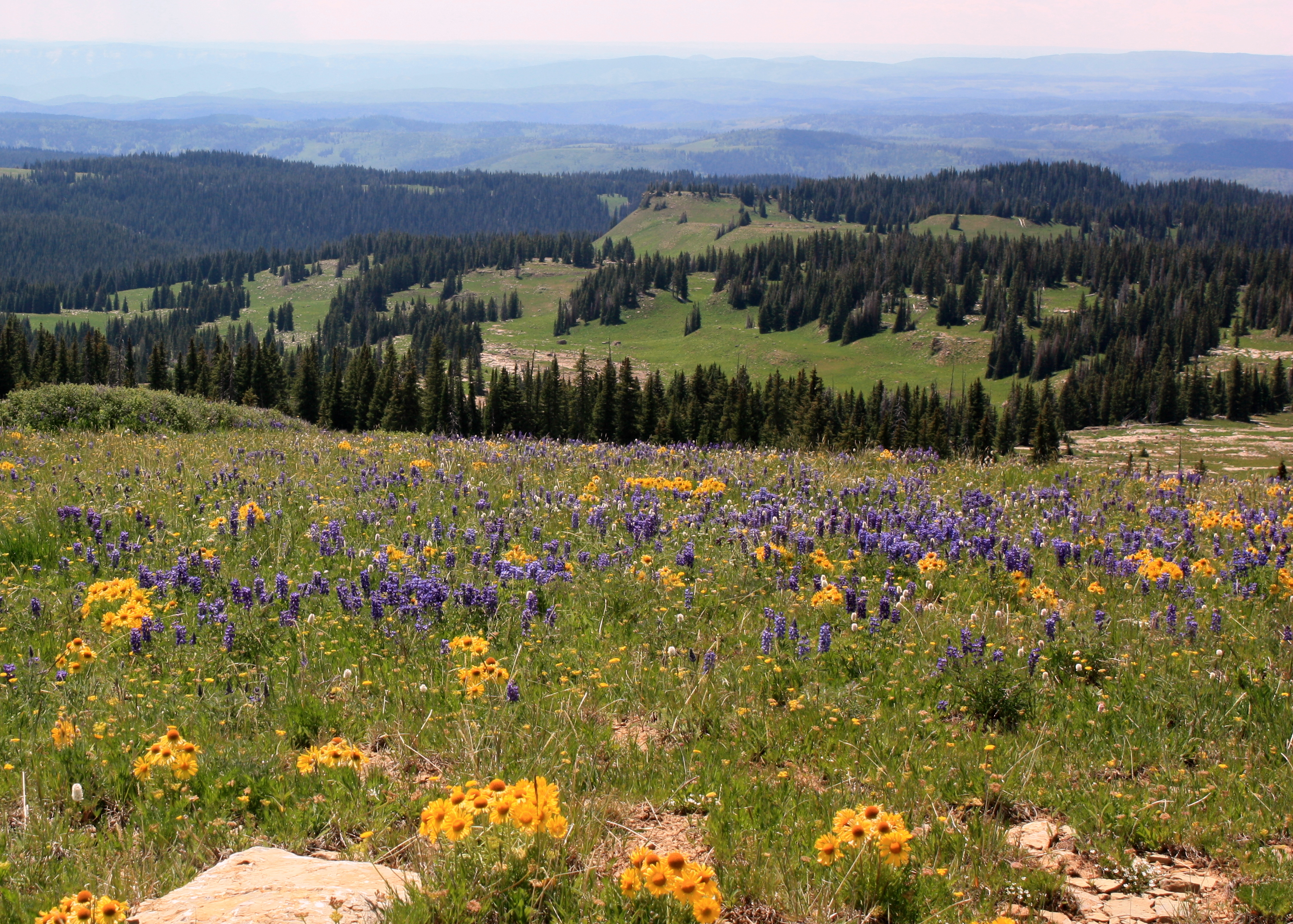
Mountain Wild Flowers
Hiking around the lake
Topographic Map of South Fork White River, Colorado, USA
Find elevation by address:

Places near South Fork White River, Colorado, USA:
Blair Mountain
Meadow Lake Campground
Camel Peak
Big Marvine Peak
Elk Knob
Triangle Mountain
South Little Marvine Peak
North Little Marvine Peak
2655 Co Rd 12
Seven Lakes Lodge
Trappers Peak
County Rd 8, Meeker, CO, USA
Baxter Peak
Himes Peak
13327 New Castle Buford Rd
Shingle Peak
Trappers Lake Road
Trappers Lake
Ellison Mountain
Sand Peak
Recent Searches:
- Elevation of 6 Rue Jules Ferry, Beausoleil, France
- Elevation of Sattva Horizon, 4JC6+G9P, Vinayak Nagar, Kattigenahalli, Bengaluru, Karnataka, India
- Elevation of Great Brook Sports, Gold Star Hwy, Groton, CT, USA
- Elevation of 10 Mountain Laurels Dr, Nashua, NH, USA
- Elevation of 16 Gilboa Ln, Nashua, NH, USA
- Elevation of Laurel Rd, Townsend, TN, USA
- Elevation of 3 Nestling Wood Dr, Long Valley, NJ, USA
- Elevation of Ilungu, Tanzania
- Elevation of Yellow Springs Road, Yellow Springs Rd, Chester Springs, PA, USA
- Elevation of Rēzekne Municipality, Latvia