Elevation of South End Rd, Beaver Island, MI, USA
Location: United States > Michigan > Charlevoix County > Peaine Township > Beaver Island >
Longitude: -85.534761
Latitude: 45.5800459
Elevation: 180m / 591feet
Barometric Pressure: 99KPa
Elevation Map:
Satellite Map:
Related Photos:

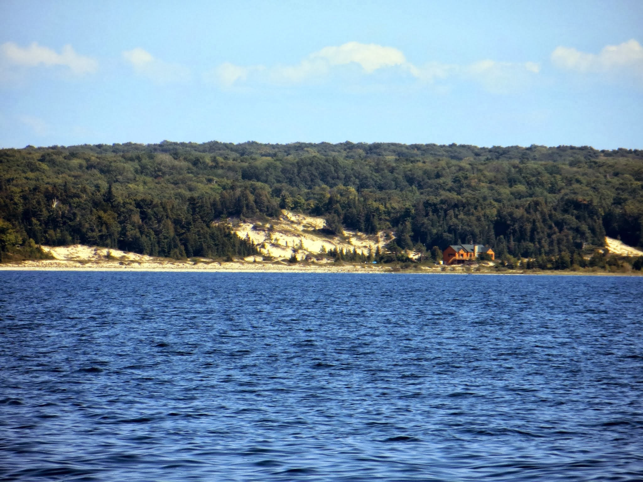
Lake Michigan Sunset from Beaver Island #1
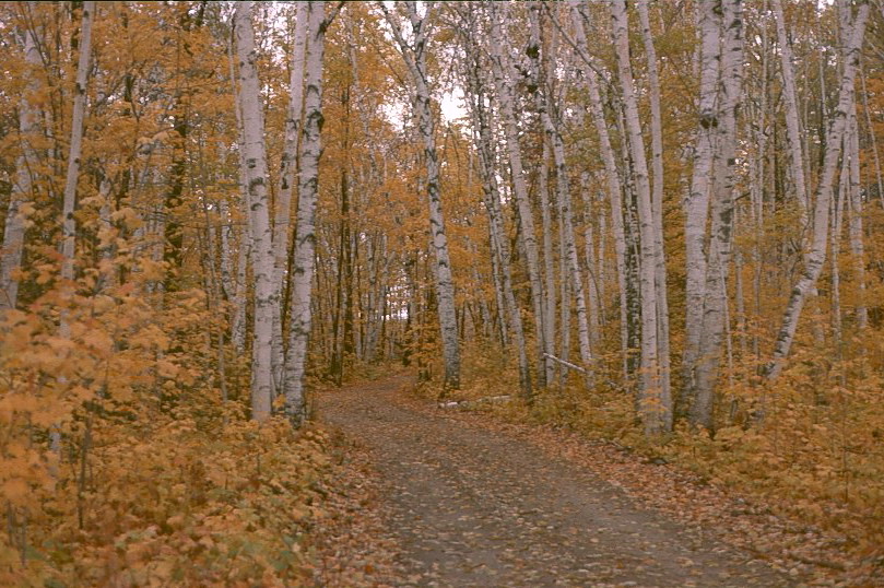
Fall Birch
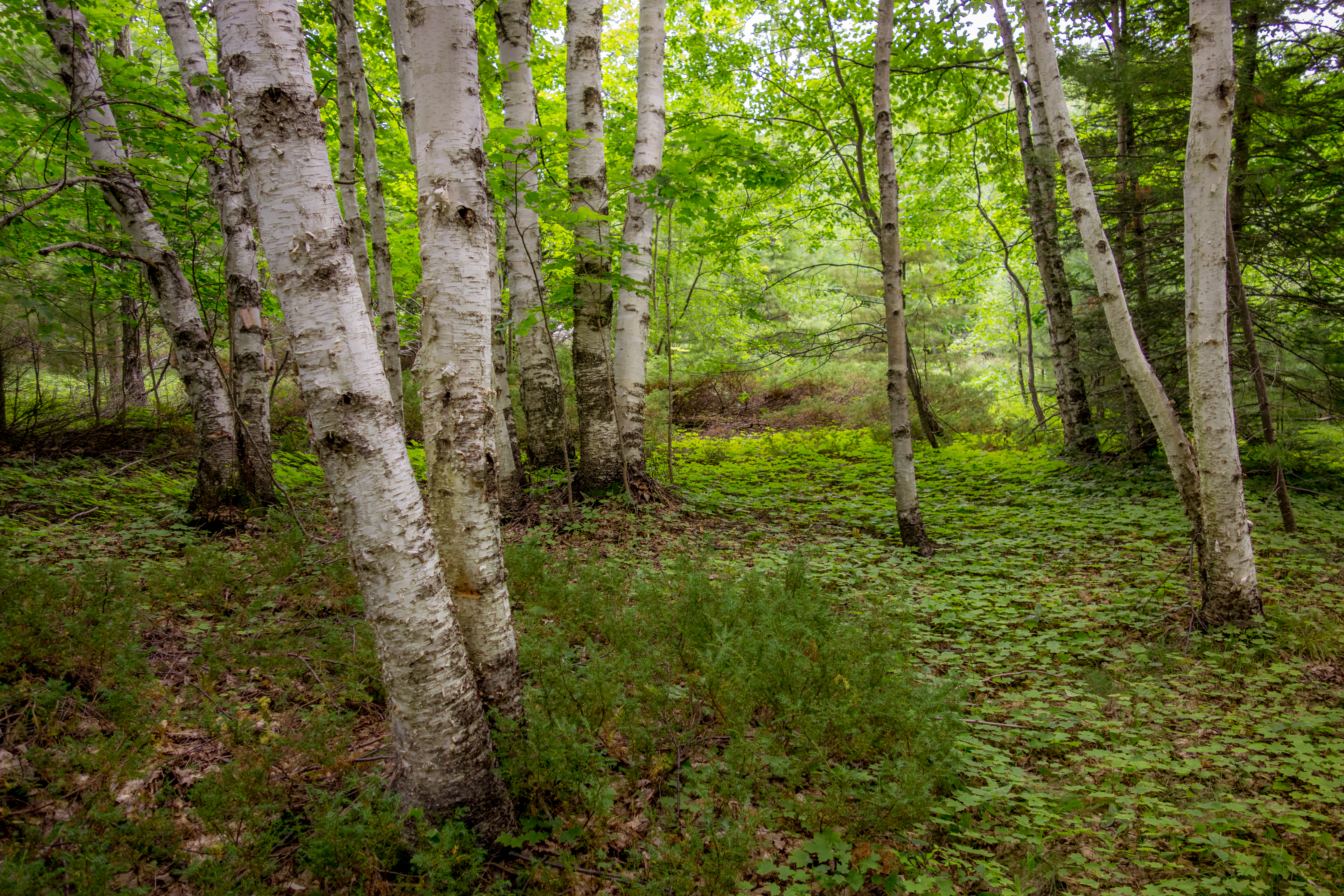
Birch Forest

Big Birch

Sun Drenched
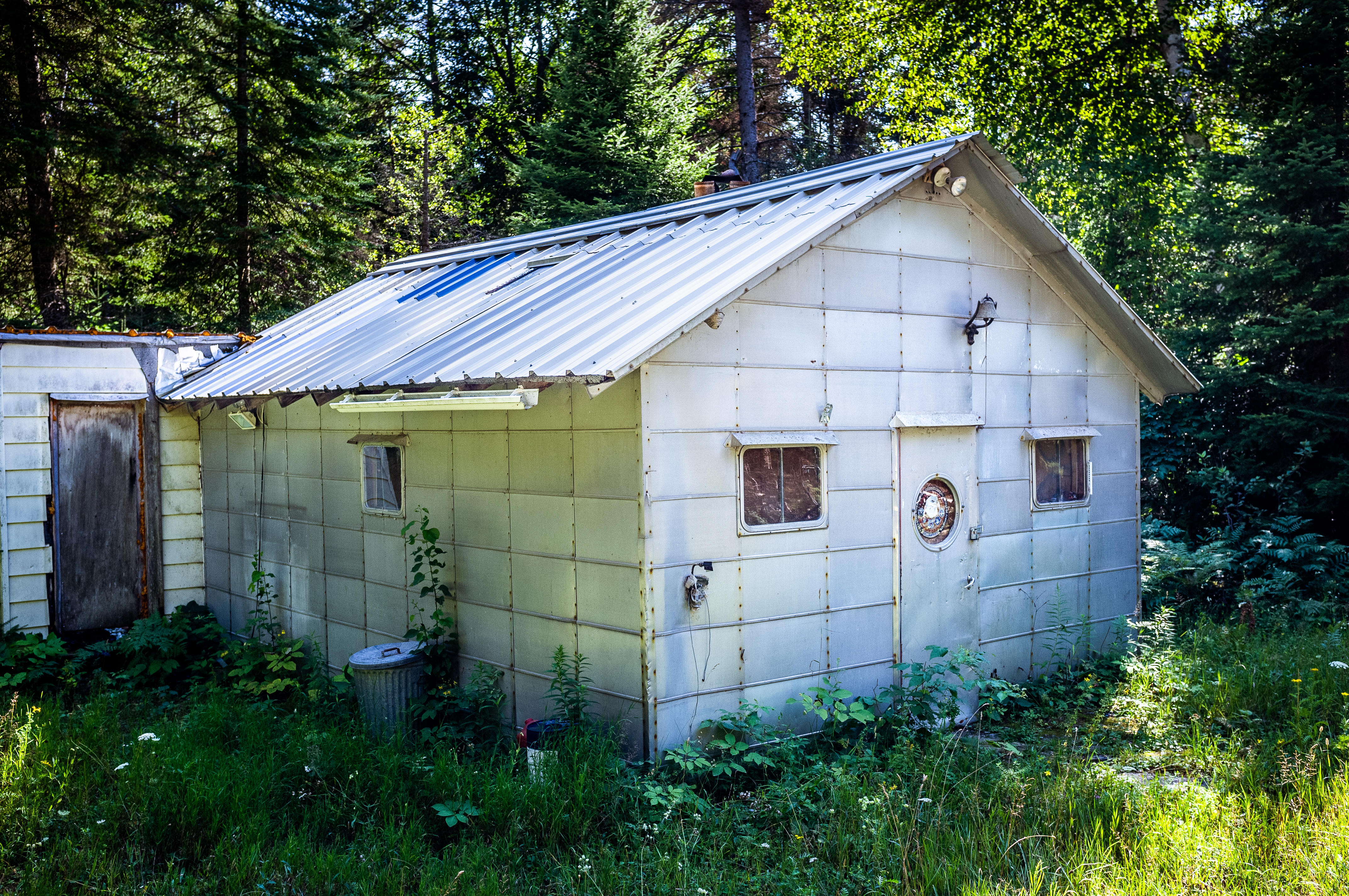
Metal Cabin
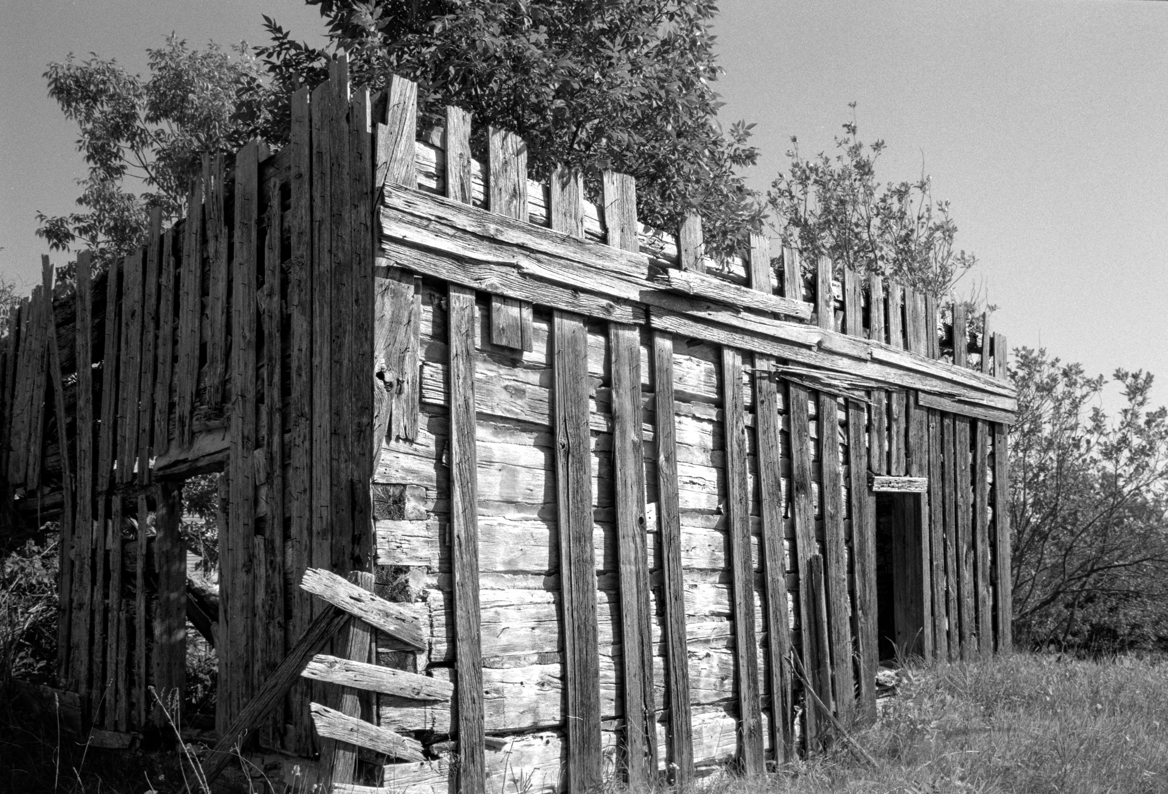
Cabin past its prime
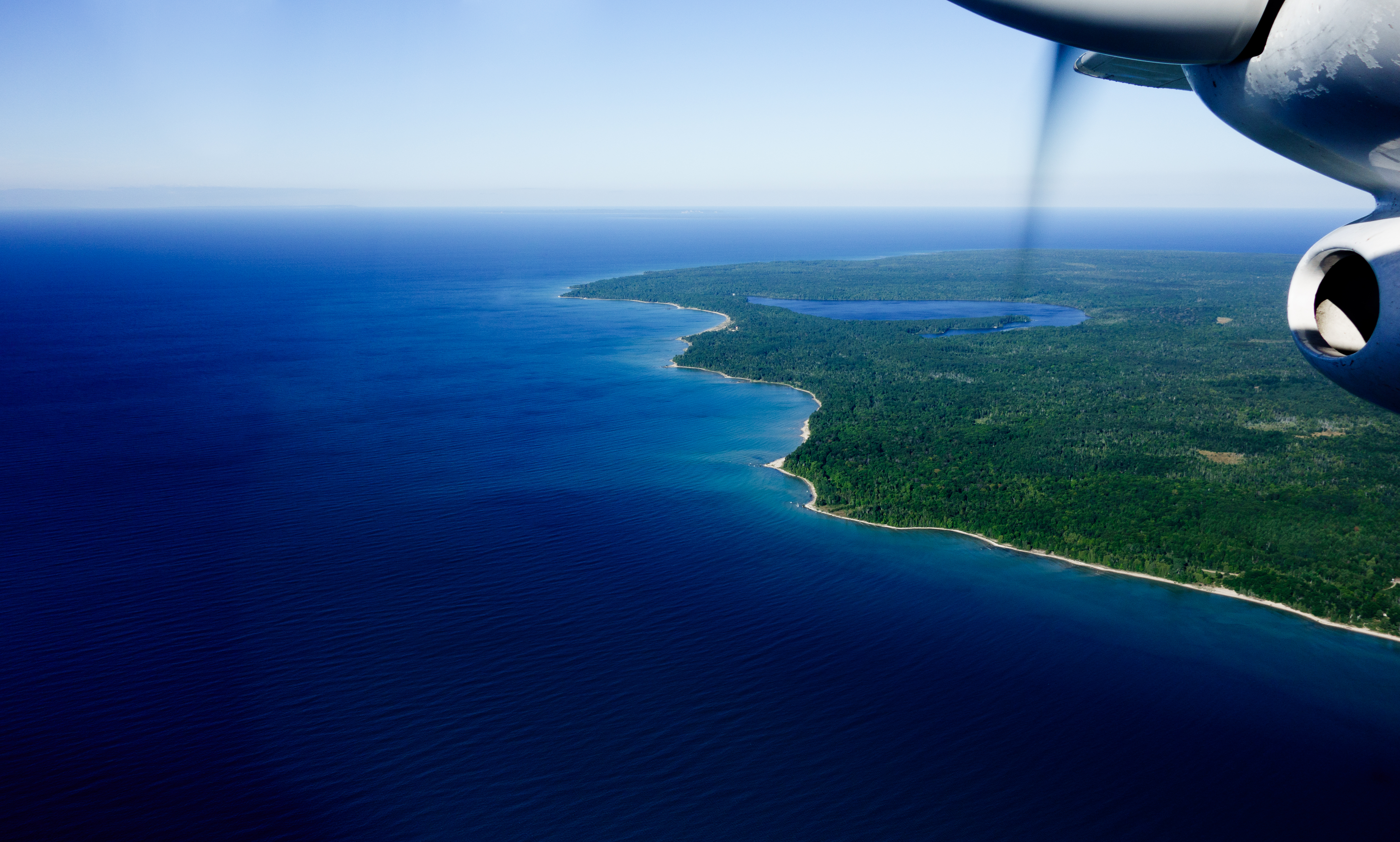
Flight from Beaver Island

Rim Lit Clouds

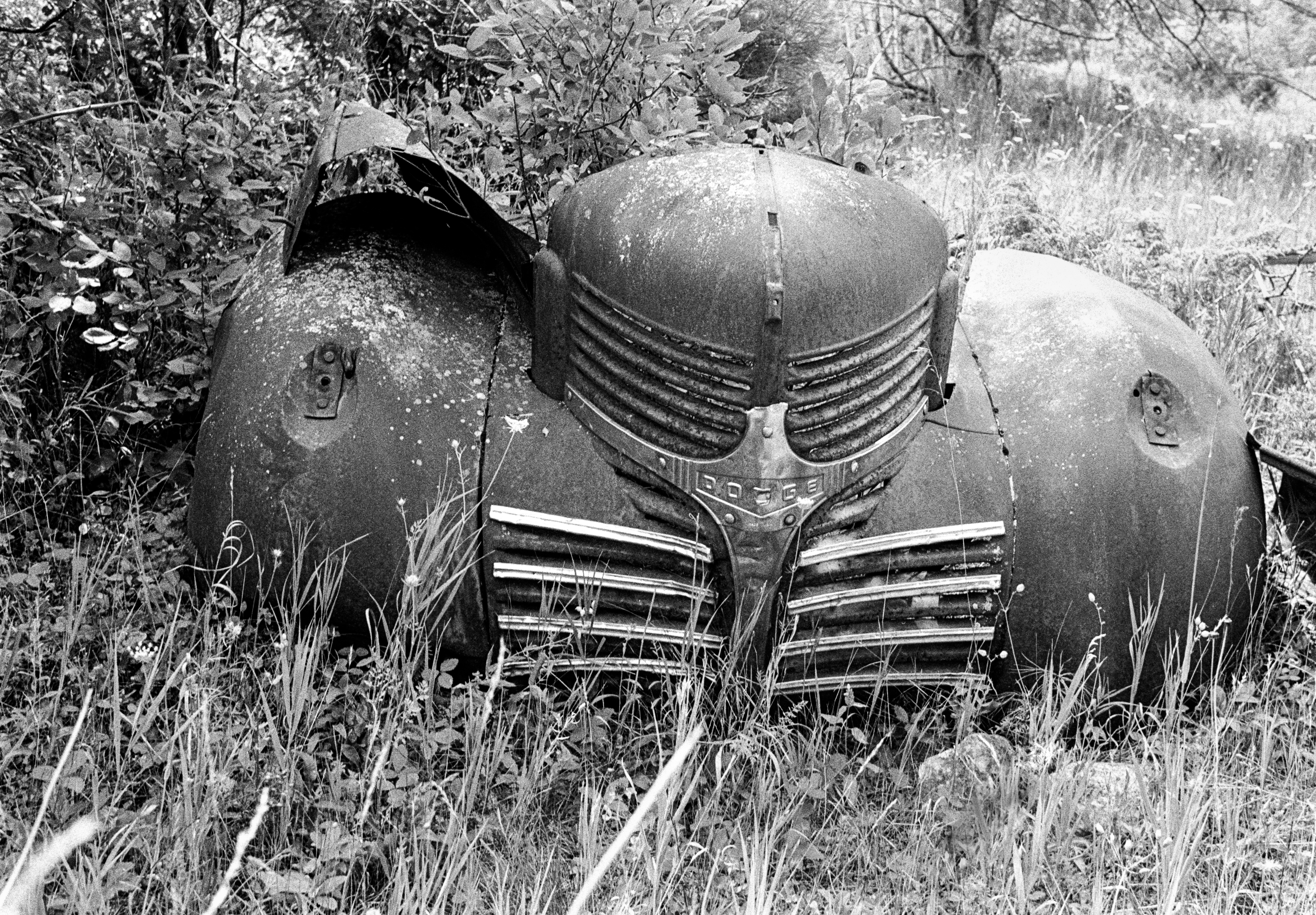
Abandoned car
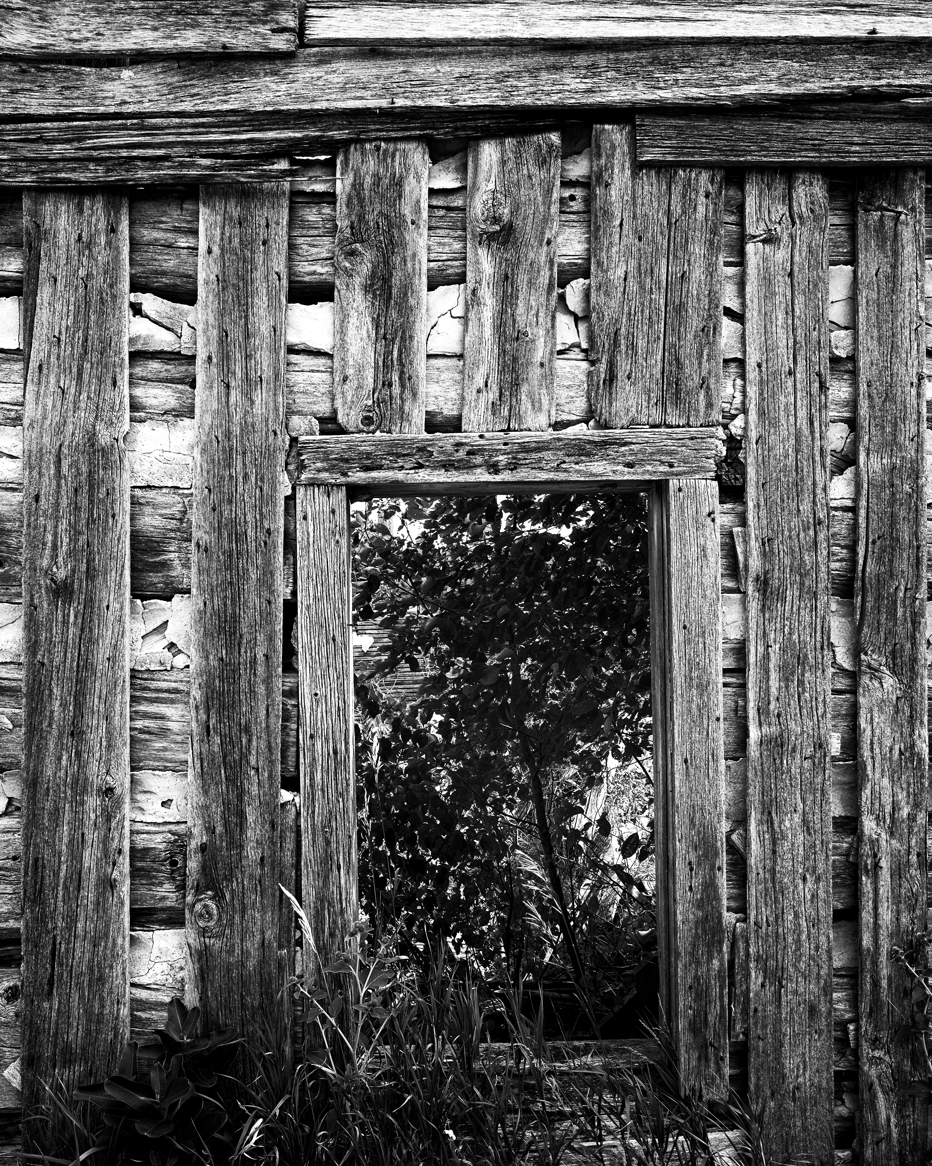
Doorway to Nature

Hunting's Cabin
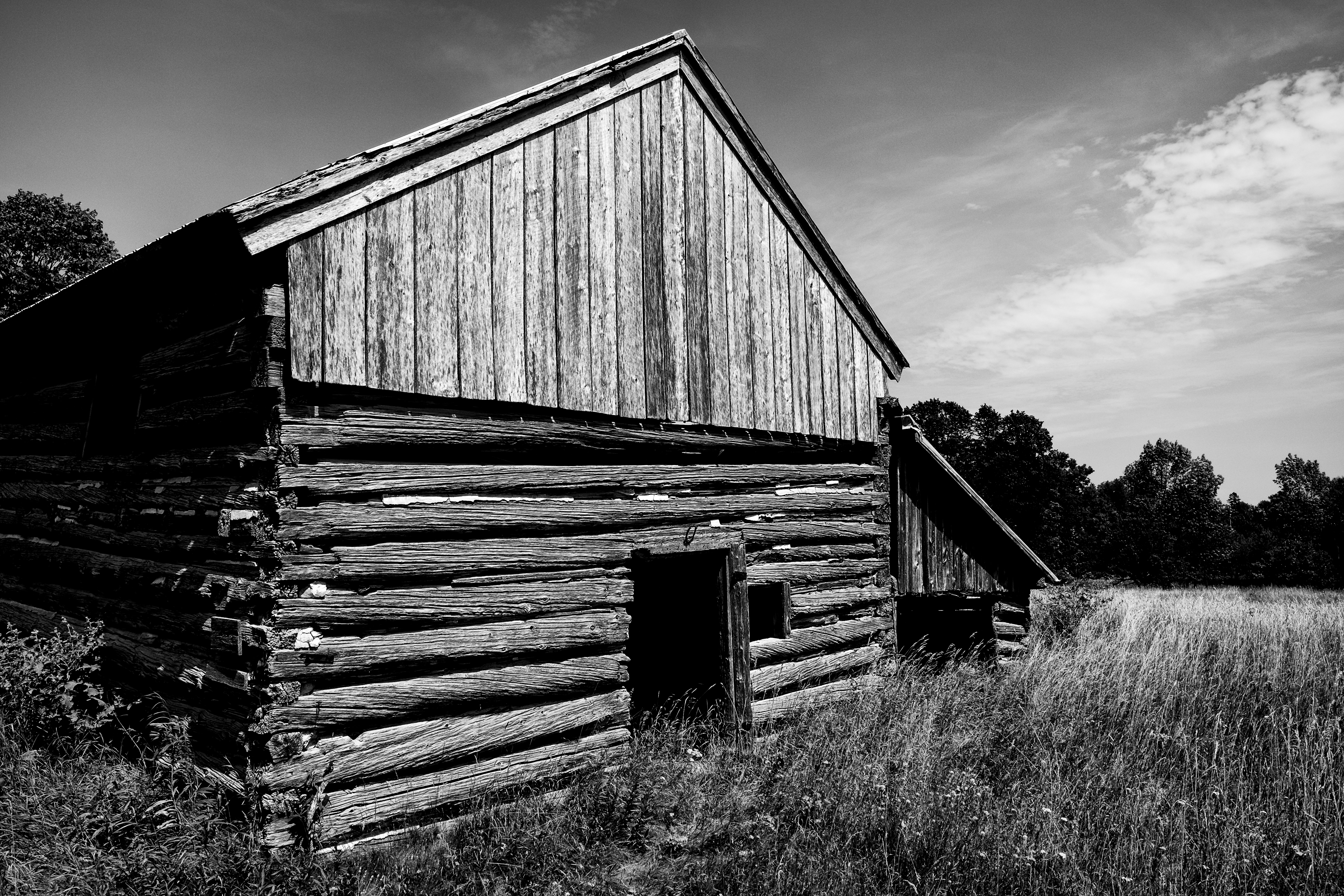
Old Barn
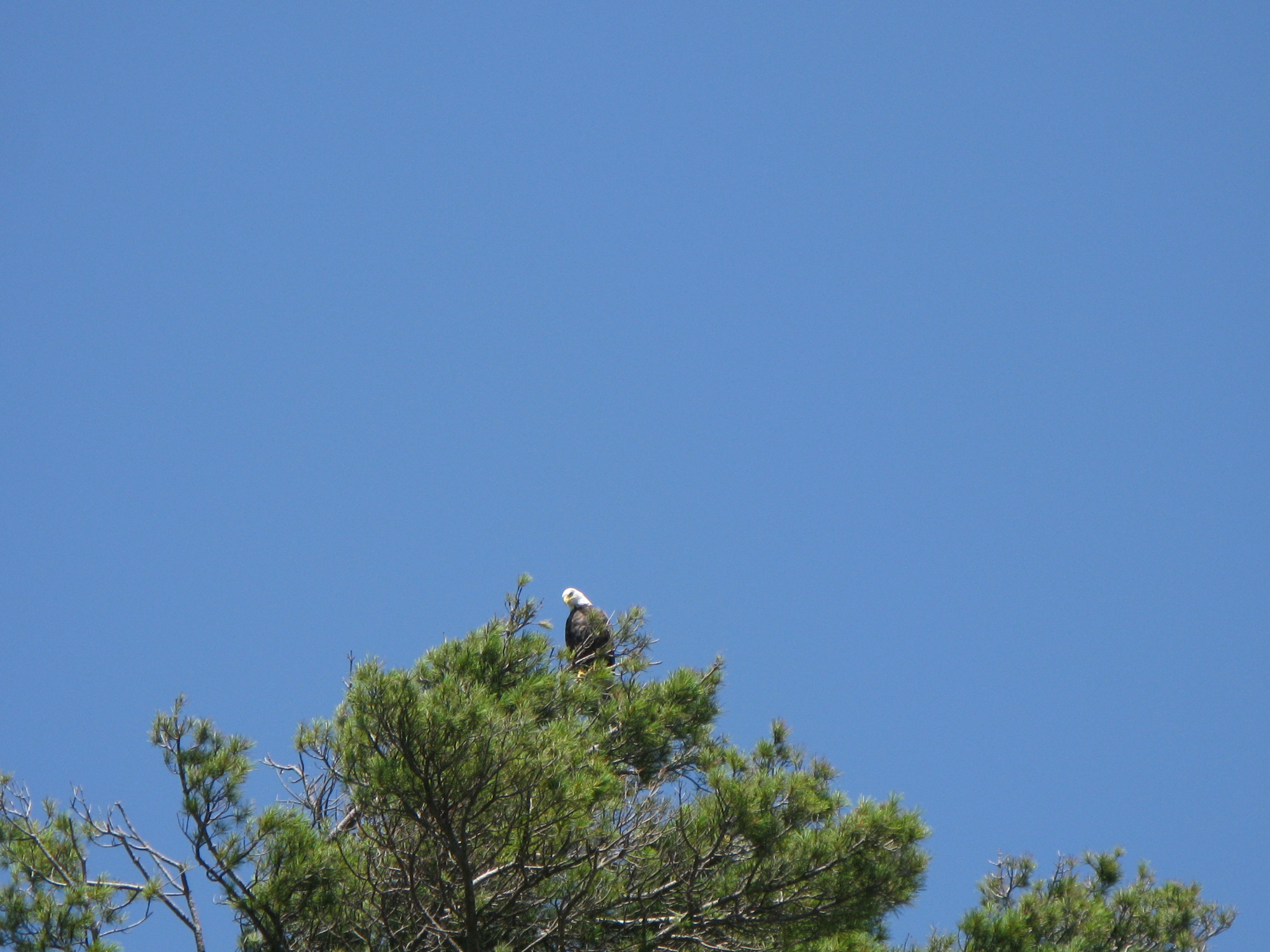
Eagle in tree

Sharing Photography

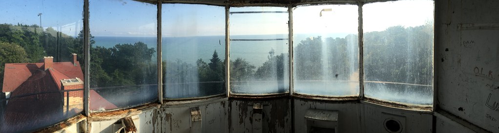
Lighthouse Stairs
2016-08-08-0021.jpg

Beaver Island

Vulture in the Sun
IMG_2256.JPG

All Photos-1093
All Photos-1088
Topographic Map of South End Rd, Beaver Island, MI, USA
Find elevation by address:

Places near South End Rd, Beaver Island, MI, USA:
Beaver Island
Peaine Township
37180 Allen's Lakeview Rd
37645 Allen's Lakeview Rd
Beaver Island
28007 Stephen Ct
38163 Leonard Ln
St. James Township
Charlevoix Township
Norwood Township
Leelanau Peninsula
3313 Us-31
Charlevoix
12525 Pineridge Dr
17920 Old Orchard Trail
101 Leonard St
13075 N Forest Beach Shores Rd
13457 Gardner Rd
Parsons Road
1145 M-119
Recent Searches:
- Elevation of Verkhny Fiagdon, North Ossetia–Alania Republic, Russia
- Elevation of F. Viola Hiway, San Rafael, Bulacan, Philippines
- Elevation of Herbage Dr, Gulfport, MS, USA
- Elevation of Lilac Cir, Haldimand, ON N3W 2G9, Canada
- Elevation of Harrod Branch Road, Harrod Branch Rd, Kentucky, USA
- Elevation of Wyndham Grand Barbados Sam Lords Castle All Inclusive Resort, End of Belair Road, Long Bay, Bridgetown Barbados
- Elevation of Iga Trl, Maggie Valley, NC, USA
- Elevation of N Co Rd 31D, Loveland, CO, USA
- Elevation of Lindever Ln, Palmetto, FL, USA
- Elevation of Gillot Blvd, Port Charlotte, FL, USA