Elevation of South Caicos, TKCA 1ZZ, Turks and Caicos Islands
Location: Turks And Caicos Islands > Caicos Islands >
Longitude: -71.51898
Latitude: 21.5112365
Elevation: 4m / 13feet
Barometric Pressure: 101KPa
Elevation Map:
Satellite Map:
Related Photos:

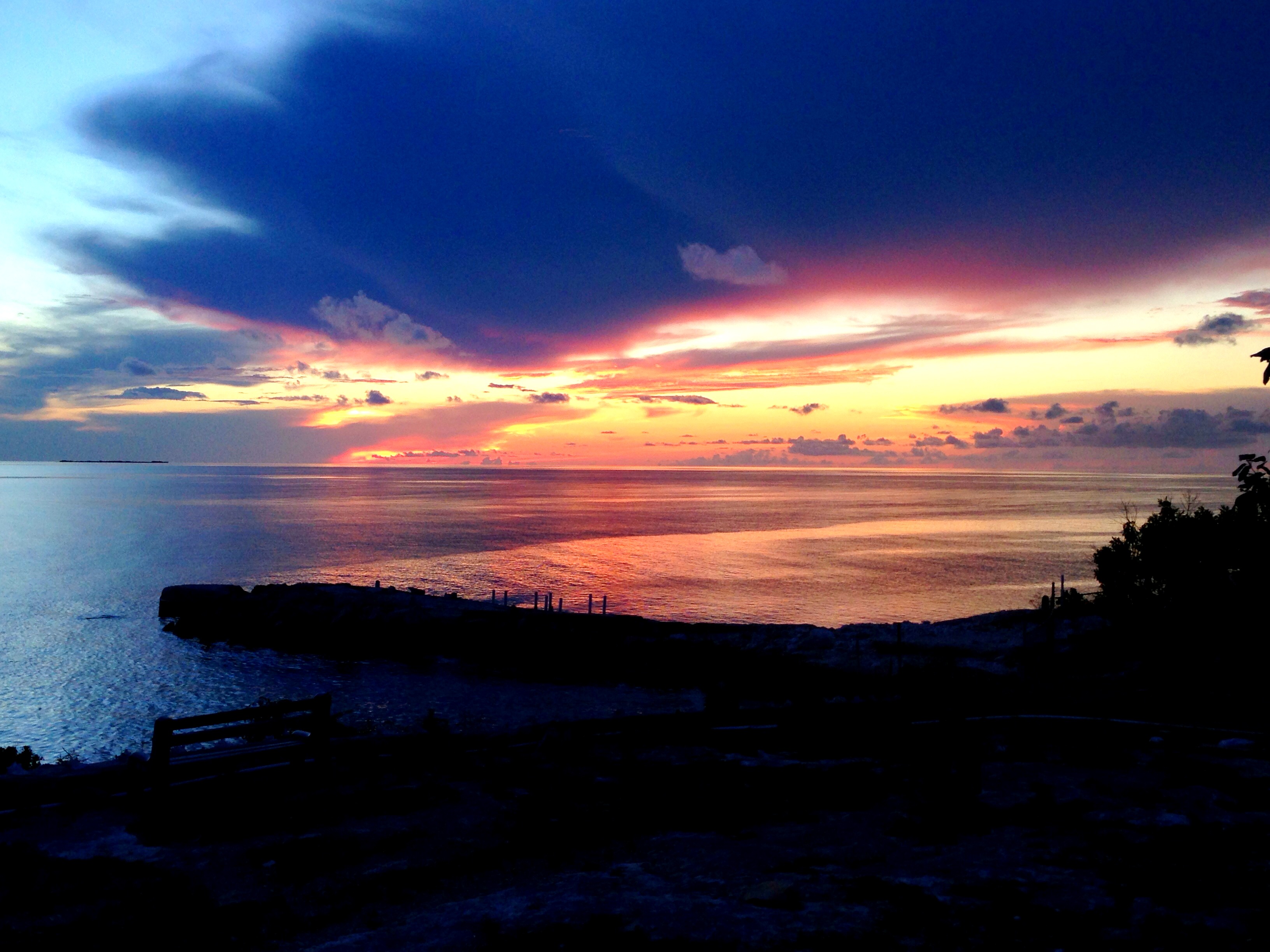
Tropical sunset

View from my room's doorway

View from my room's desk

Beach House Near Cockburn Town

every day is laundry day

shades of turquoise
Just your average sunset

Two Tied

Post-run natural glow

Panorama picture from a run through the salinas
Topographic Map of South Caicos, TKCA 1ZZ, Turks and Caicos Islands
Find elevation by address:

Places in South Caicos, TKCA 1ZZ, Turks and Caicos Islands:
Places near South Caicos, TKCA 1ZZ, Turks and Caicos Islands:
Recent Searches:
- Elevation of Lampiasi St, Sarasota, FL, USA
- Elevation of Elwyn Dr, Roanoke Rapids, NC, USA
- Elevation of Congressional Dr, Stevensville, MD, USA
- Elevation of Bellview Rd, McLean, VA, USA
- Elevation of Stage Island Rd, Chatham, MA, USA
- Elevation of Shibuya Scramble Crossing, 21 Udagawacho, Shibuya City, Tokyo -, Japan
- Elevation of Jadagoniai, Kaunas District Municipality, Lithuania
- Elevation of Pagonija rock, Kranto 7-oji g. 8"N, Kaunas, Lithuania
- Elevation of Co Rd 87, Jamestown, CO, USA
- Elevation of Tenjo, Cundinamarca, Colombia