Elevation of Sotik, Kenya
Location: Kenya > Kericho County >
Longitude: 35.1110613
Latitude: -0.6906735
Elevation: 1808m / 5932feet
Barometric Pressure: 81KPa
Elevation Map:
Satellite Map:
Related Photos:
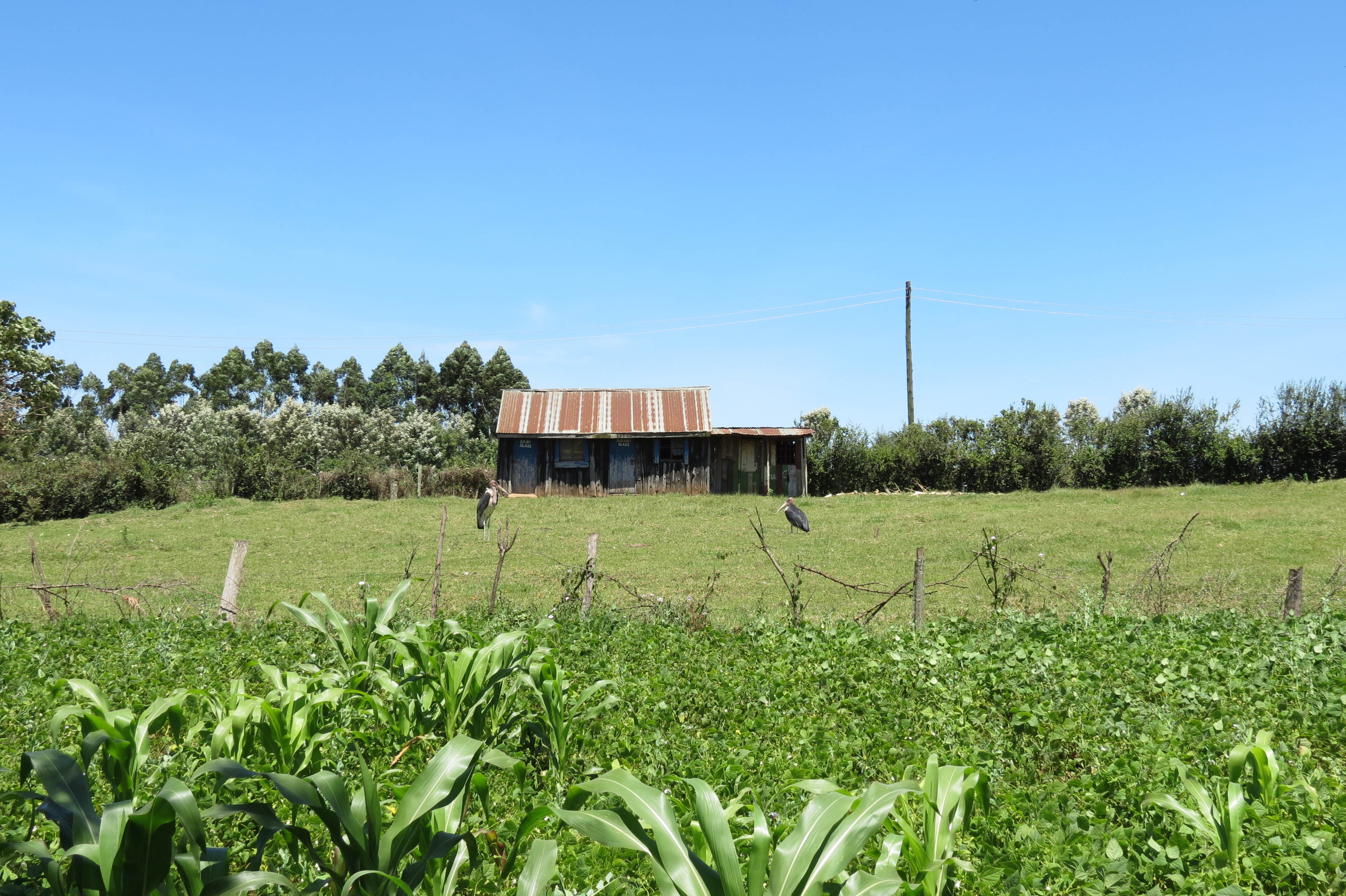
Road to Kisii
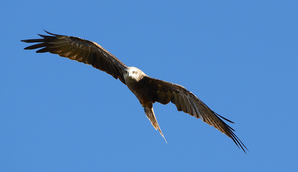
Black Kite in flight

Lovely wheather. Blessed Sunday pals.

~God~ {Is} _Good_
IMG_0991.jpg
IMG_0990.jpg

IMG_0909.jpg

IMG_0904.jpg

IMG_0898.jpg

IMG_0897.jpg

IMG_0894.jpg
IMG_0889.jpg

IMG_0886.jpg
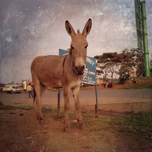
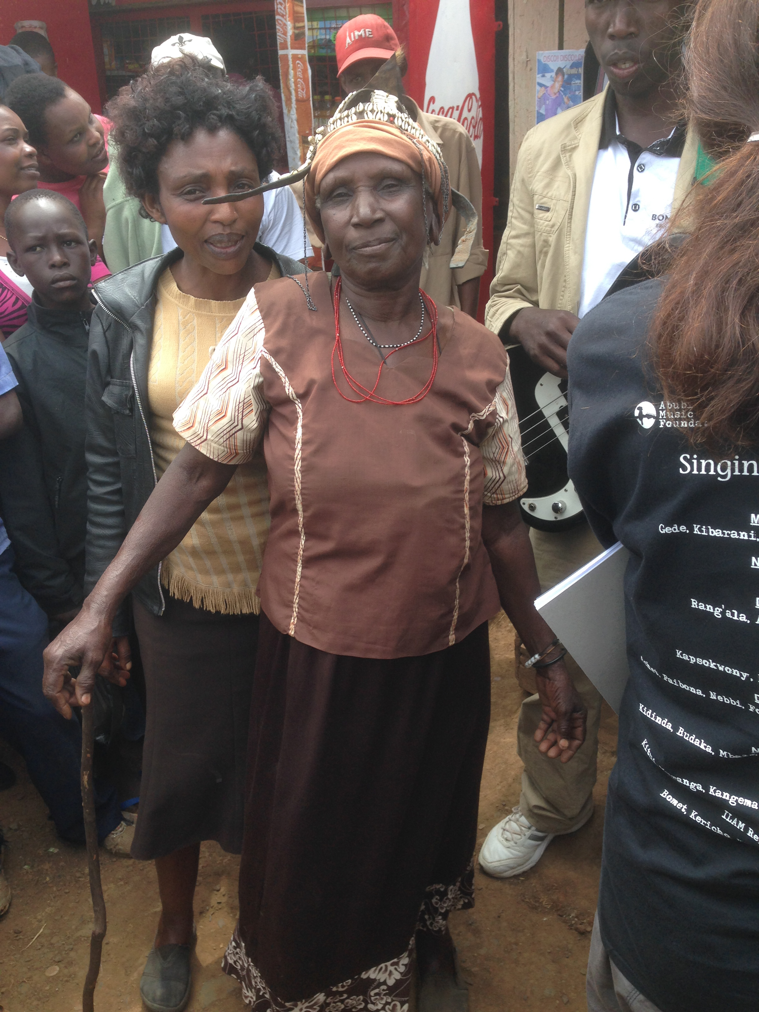
Got some ass on you @mexturesapp #mexturesapp #sotik #kenya #igkenya @igkenya #africa #animals
Bureti at Dusk

Road to Kisii
Topographic Map of Sotik, Kenya
Find elevation by address:

Places near Sotik, Kenya:
Cheplanget
Cheplanget Primary School
Nyamira County
Keroka
Enchoro Sda Church
Kisii
Kisii County
Mikai
Kilgoris
Co-op Kwa Jirani Dawamu Enterprises
Alex Walker's Serian 'the Original'
Rongo
Sanctuary Olonana Kenya
Ahero
Andbeyond Bateleur Camp
Andbeyond Kichwa Tembo Tented Camp
Little Governors Camp
Lolgorian Dam
Kileleoni Mara Camp
Miwani
Recent Searches:
- Elevation of Unnamed Road, Respublika Severnaya Osetiya — Alaniya, Russia
- Elevation of Verkhny Fiagdon, North Ossetia–Alania Republic, Russia
- Elevation of F. Viola Hiway, San Rafael, Bulacan, Philippines
- Elevation of Herbage Dr, Gulfport, MS, USA
- Elevation of Lilac Cir, Haldimand, ON N3W 2G9, Canada
- Elevation of Harrod Branch Road, Harrod Branch Rd, Kentucky, USA
- Elevation of Wyndham Grand Barbados Sam Lords Castle All Inclusive Resort, End of Belair Road, Long Bay, Bridgetown Barbados
- Elevation of Iga Trl, Maggie Valley, NC, USA
- Elevation of N Co Rd 31D, Loveland, CO, USA
- Elevation of Lindever Ln, Palmetto, FL, USA