Elevation of Sorata, Bolivia
Location: Bolivia > La Paz Department > Larecaja >
Longitude: -68.646935
Latitude: -15.769618
Elevation: 2716m / 8911feet
Barometric Pressure: 73KPa
Elevation Map:
Satellite Map:
Related Photos:
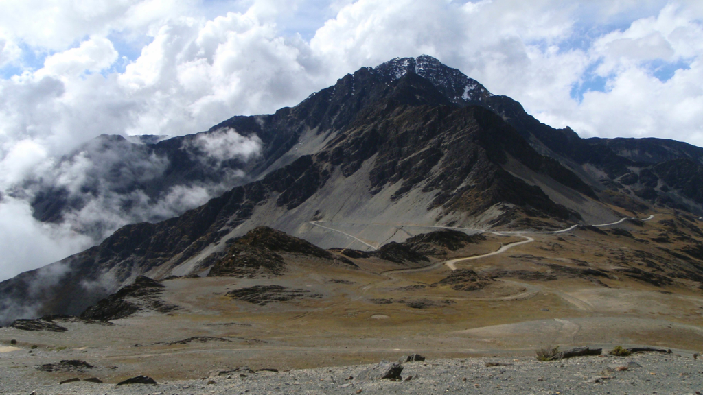
Cordillera Real bei Sorata

DSC04286-IMG_3573
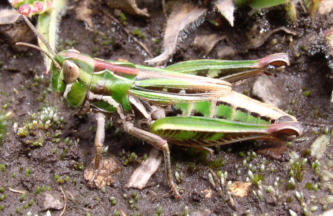
unknown grasshopper
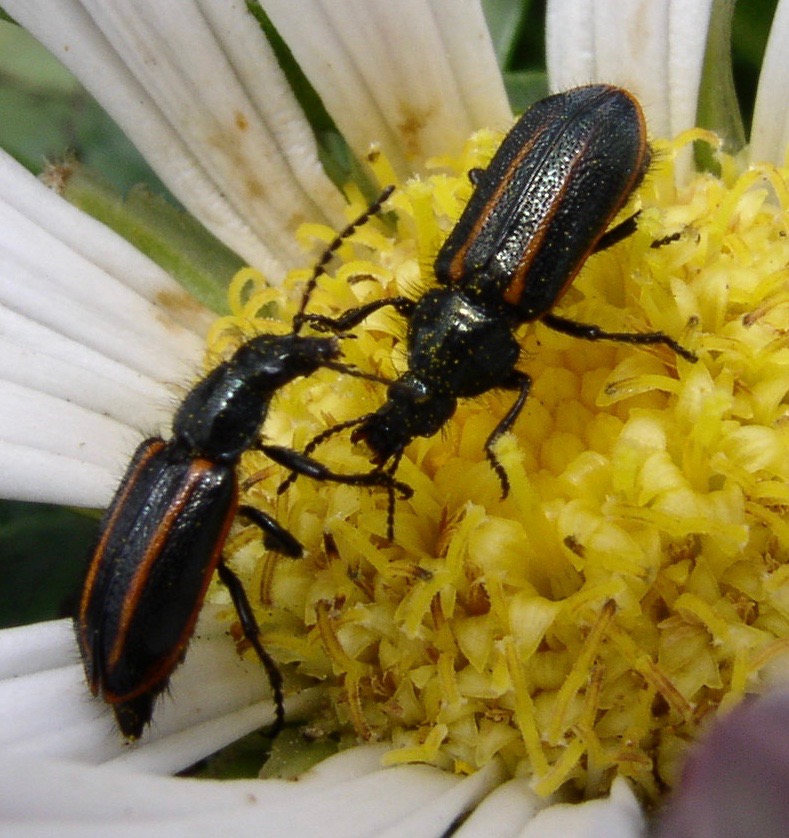
Astylus sp., soft-winged flower beetles
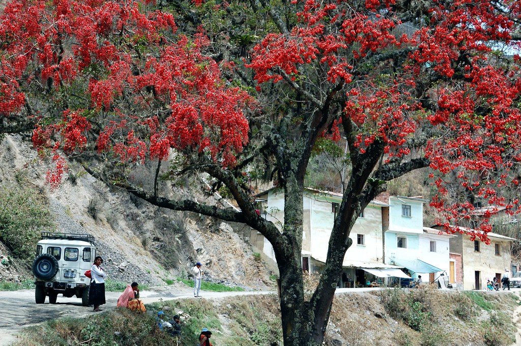
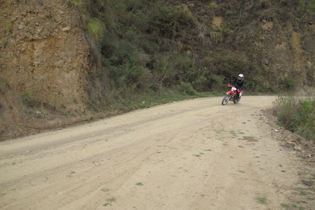
Sorata, Bolivia
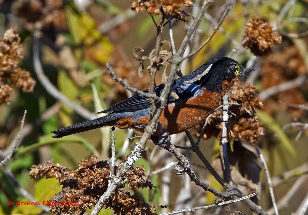
Black-throated Flowerpiercer, Diglosa de Garganta Negra, Diglossa brunneiventris,
Sorata (2)
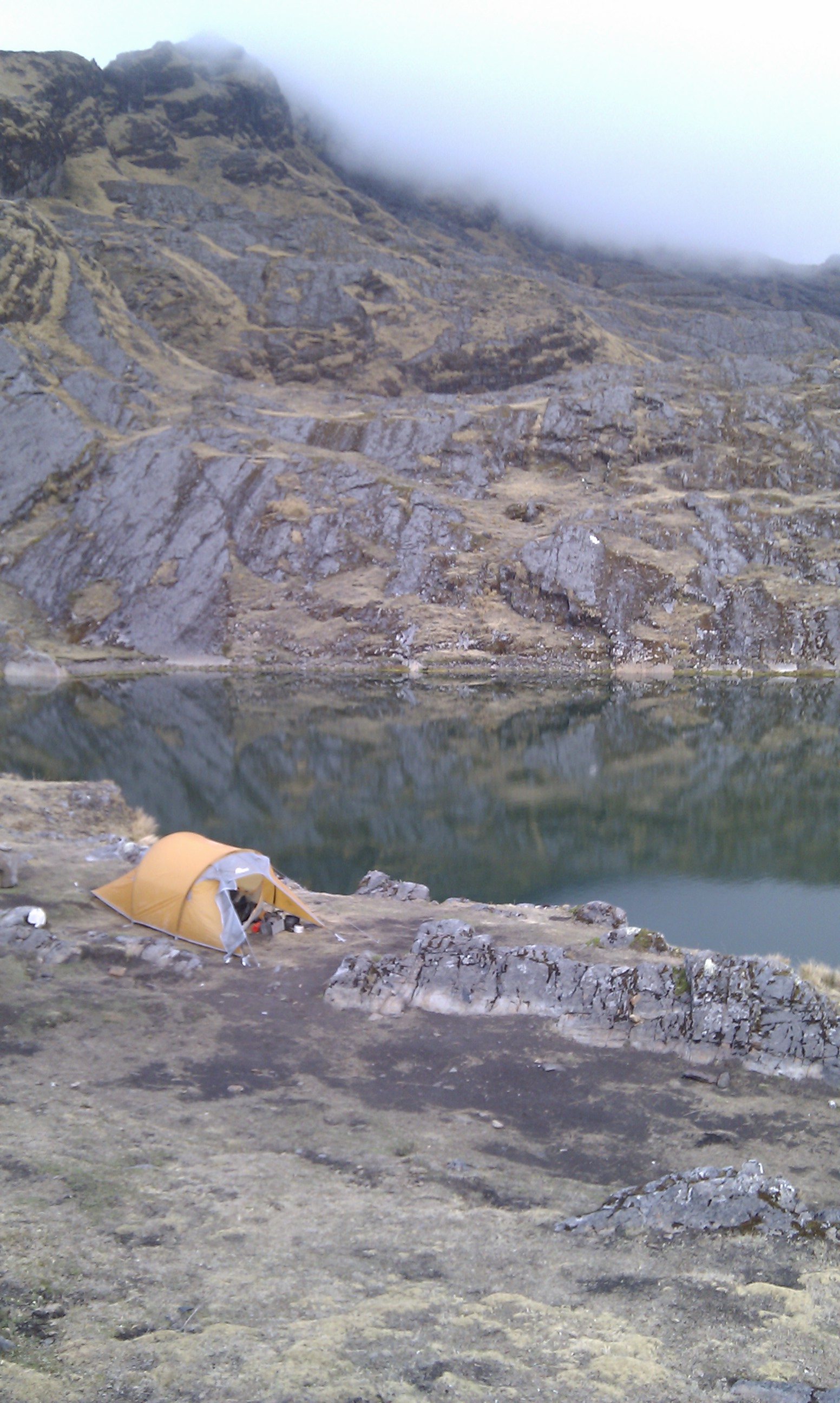
Lago Chilliata
Topographic Map of Sorata, Bolivia
Find elevation by address:

Places near Sorata, Bolivia:
Qalsata
Larecaja
Huatajata
Mich'ini
Kunturiri
Ch'iyar Quta
Huayna Potosí
Chacaltaya
Cristo De La Cumbre
3, Bolivia
Rinconada
El Alto
Los Andes
El Centro
Incachaca
Barrio Aeropuerto
El Alto International Airport
Av. Perú 291
Terminal De Buses Lapaz
Melchor Jimenez
Recent Searches:
- Elevation of Bella Terra Blvd, Estero, FL, USA
- Elevation of Estates Loop, Priest River, ID, USA
- Elevation of Woodland Oak Pl, Thousand Oaks, CA, USA
- Elevation of Brownsdale Rd, Renfrew, PA, USA
- Elevation of Corcoran Ln, Suffolk, VA, USA
- Elevation of Mamala II, Sariaya, Quezon, Philippines
- Elevation of Sarangdanda, Nepal
- Elevation of 7 Waterfall Way, Tomball, TX, USA
- Elevation of SW 57th Ave, Portland, OR, USA
- Elevation of Crocker Dr, Vacaville, CA, USA