Elevation of Sooke Rd, Sooke, BC V9Z 1C8, Canada

Location: Canada > British Columbia > Capital > Sooke > Sooke >

Longitude: -123.61997

Latitude: 48.398428

Elevation: 91m / 299feet

Barometric Pressure: 100KPa

Elevation Map:

elevation map of Sooke Rd, Sooke, BC V9Z 1C8, Canada

Satellite Map:

Satellite map of Sooke Rd, Sooke, BC V9Z 1C8, Canada

Related Photos:

Pheasant Lane Pathway
beach water trash book bc victoria novel soaked waterlogged viewroyal esquimaltharbour mercyamongthechildren
Beached book
hmcs cowichan minesweeper ww2 ship jetty dock sookebasin sooke aerial hexacopter typhoon yuneec gallopinggoosetrail ggt drone screenshot 162 screengrab saltwater ocean stickleback westcoasteatery cooperscove coopers hmcscowichan162 saseenos goodridgepeninsula
HMCS Cowichan 162 drone shot
maclennantrail maclennan gallopinggoosetrail ggt crd capitalregionaldistrict viewroyal cellphones cameras helmcken en railtrail walking biking cycling connector vgh 8km marker hwy1 viewroyalpark park
MacLennan Trail in View Royal Park
ironminebay eastsookepark vancouverisland britishcolumbia canada bc beach
2009-08-17_11-56-30 Beach at Iron Mine Bay
viewroyal ave victoria bc tovey shoreline access stewart park view royal beaumont beach limekiln cellphone note9 ocean sea
Park Bench
maclennantrail maclennan chancellorpark henderson qunicey gallopinggoosetrail ggt crd capitalregionaldistrict viewroyal cellphones cameras helmcken en railtrail gallopinggooseregionaltrail walking biking cycling connector vgh 8km marker hwy1 viewroyalpark park pheasantlane galaxynote9 panorama panoramic craigflowercreek deadmans
View Royal Park Panoramic
maclennantrail maclennan chancellorpark henderson qunicey gallopinggoosetrail ggt crd capitalregionaldistrict viewroyal cellphones cameras helmcken en railtrail gallopinggooseregionaltrail walking biking cycling connector vgh 8km marker hwy1 viewroyalpark park pheasantlane atkins station craigflowercreek deadmans cyclocross commuting exploring backroads
Maclennan Connector Xing Helmcken Road (view north)
eastsookepark vancouverisland bc britishcolumbia park castlerocks creykepoint becherbay aylardfarm
2009-08-04_11-01-22 Castle Rocks
tags metchisonroad royalroads aldeane university drive dr parkinglot regional colwood sooke hwy14 rockypoint road capitalregionaldistrict crd gallopinggooseregionaltrail ggt gallopinggoose trail railstotrails walk 14km gps viewranger cellphone app
Galloping Goose Trail 14km Marker
drones typhoon cityoflangford capitalregionaldistrict crd stewyoung westhills trails kiking biking humpback reservoir en railway cellphones powerlines westhillsparkway dedicated cycling crossing xing harlequinpark
Goldstream Village Aerial View
gopro royalbay school scondary ryder hesjedal way loop trail path paved multiuse cellphone colwood bicycle ebike pedelec delsol biking cycling escarpment track sports galaxy note9 cablecrafthomes gablecrafthomes
Round and Round
viewroyal ave victoria bc tovey shoreline access stewart park view royal beaumont beach limekiln cellphone note9 ocean sea canoe kayak boats sailing wharf shute
Canoe Shute
fishchips highlandpacific golfcourse drivingrange balls carts greens fairways tees teetimes lunch restaurant patio dining food beer drinks liquor deck watkissway thenest freeparking view landscape cellphone galaxy note9
Out to Lunch (again)
blackandwhite canada artwork sleep britishcolumbia vancouverisland sooke sookeharbourhouse cans2s
"Sleep is the best meditation"
maclennantrail maclennan chancellorpark henderson qunicey gallopinggoosetrail ggt crd capitalregionaldistrict viewroyal cellphones cameras helmcken en railtrail gallopinggooseregionaltrail walking biking cycling connector vgh 8km marker hwy1 viewroyalpark park pheasantlane atkins station craigflowercreek deadmans cyclocross commuting exploring backroads
View Toward Downtown Victoria BC
canada bc pentax britishcolumbia victoria vancouverisland esquimalt straitofjuandefuca nationalhistoricsite fisgardlighthouse fortroddhill
"Hold your fire - she's friendly"
fishchips highlandpacific golfcourse drivingrange balls carts greens fairways tees teetimes lunch restaurant patio dining food beer drinks liquor deck watkissway thenest freeparking view landscape reuben sandwiches wine grill fathers covid hplc200w
Fathers' Day
sky canada reflection water silhouette clouds landscape island cove britishcolumbia 9 explore thetis viewroyal portagepark canonef1740mmf4l explored explorefrontpage esquimaltharbour richardsisland canoneos5dmarkii thetiscove cokingraduatedsoftnd8filterp121s
Blue Naval Solitude
bc canada nature beautiful beauty island nikon flickr utopia paulwilliams nikon24120mm d850 nikkor24120mm nikond850 despitestraightlines tree coast branch peace branches tide peaceful calm foliage coastal utopian coastline nikkor naturalbeauty tidal mothernature still rocks sooke quimperpark beautifulbritishcolumbia whiffinspit tsouke whiffinspitsooke ontheroacks whiffinspitbc firstnationstsouke
Whiffin Spit (Quimper Park in British Columbia) - (Selected by GETTY IMAGES) & (Selected for FLICKR EXPLORE)
tags brotherston mcminn highlands savemarylake donate districtofhighlands conservancy preserve walking guided tours bobmcminn peter octogenarian 1998 1772 millstream finlaysonarm panorams shares ownership land lake rivers streams creeks forest mayor marylakenaturesanctuary sanctuary greatervictoriagreenbeltsociety greenbelt society crd capitalregionaldistrict vancouverisland views 60k 60000 reflections marylake
Mary Lake (66.7k views)
canada kanada vancouverisland lighthouse leuchtturm
Fisgard Lighthouse
ironminebay eastsookepark vancouverisland britishcolumbia canada bc
2009-08-17_12-10-20 Iron Mine Bay
eastsookepark vancouverisland britishcolumbia canada bc
2009-08-17_12-36-08 East Sooke Park
beach ironminebay eastsookepark vancouverisland britishcolumbia canada driftwood bc
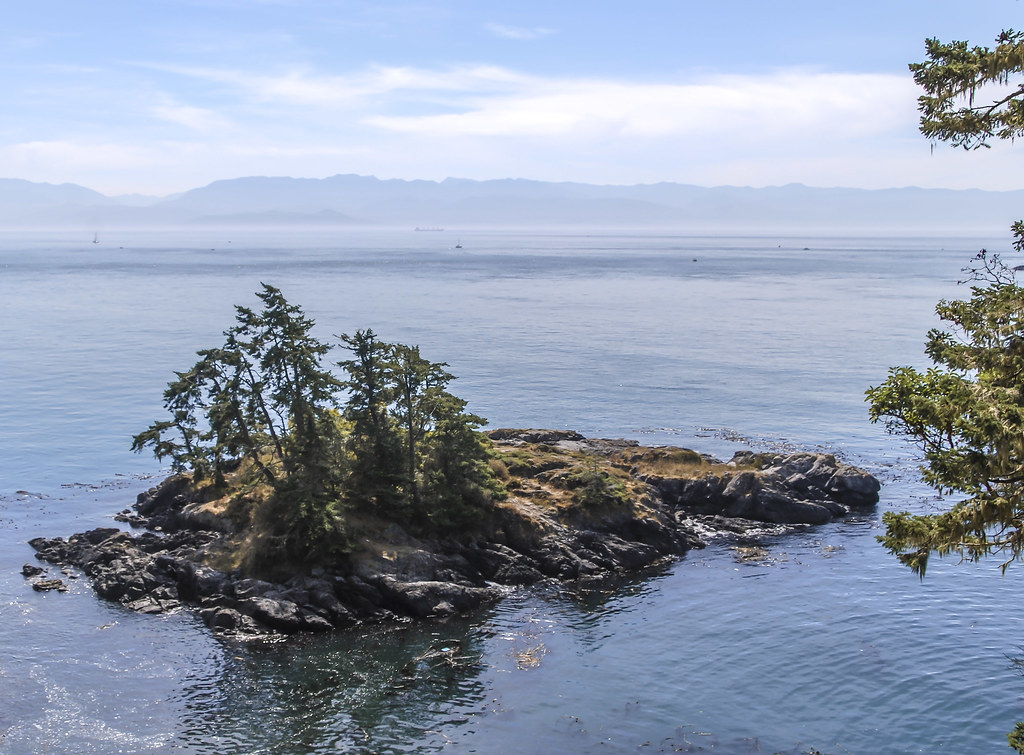
2009-08-17_11-50-02 Iron Mine Bay
beach ironminebay eastsookepark vancouverisland britishcolumbia canada bc
2009-08-17_11-52-16 Iron Mine Bay
beach ironminebay eastsookepark vancouverisland britishcolumbia canada bc
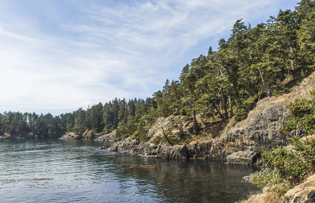
2009-08-17_11-54-18 Iron Mine Bay
eastsookepark vancouverisland britishcolumbia bc canada ironminebay ocean beach
2009-08-17_11-48-00 Iron Mine Bay
ironminebay eastsookepark vancouverisland britishcolumbia canada bc
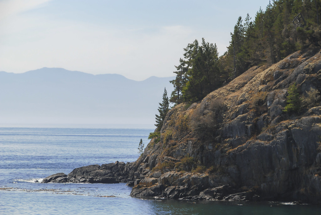
2009-08-17_12-17-48 Rocky Coast
ironminebay eastsookepark vancouverisland britishcolumbia canada bc
2009-08-17_12-00-16 Iron Mine Bay
ironminebay eastsookepark vancouverisland britishcolumbia canada bc
2009-08-17_11-58-42 East Sooke Park
canada green moss rainforest stream bc d610 temperaterainforest
West Coast Rainforest
ironminebay eastsookepark vancouverisland britishcolumbia canada bc
2009-08-17_12-22-12 East Sooke Park
longexposure green fall nature water rock river flow grey rocks soft exposure bc britishcolumbia smooth rocky structure falls vancouverisland even remote sooke sookeriver lexp
Even Flow, Sooke River, Vancouver Island, BC, Canada
ironminebay eastsookepark vancouverisland britishcolumbia canada bc
2009-08-17_11-59-34 Rocky Shore
nuage cloud sky dramatic contrast blackandwhite monotone canon 6d landscape
Windy meadow - Restless sky
beach ironminebay eastsookepark vancouverisland britishcolumbia canada bc seascape
2009-08-17_11-53-32 Iron Mine Bay
erniedickey travel treastle sharevi vancouverisland canada britishcolumbia landscape goldstream discoverbc
Arbutus Canyon Trestle Goldstream Park
travel lighthouse canada canon landscape britishcolumbia victoria photosbymch
Fisgard Lighthouse, Victoria, BC
beach ironminebay eastsookepark vancouverisland britishcolumbia canada bc
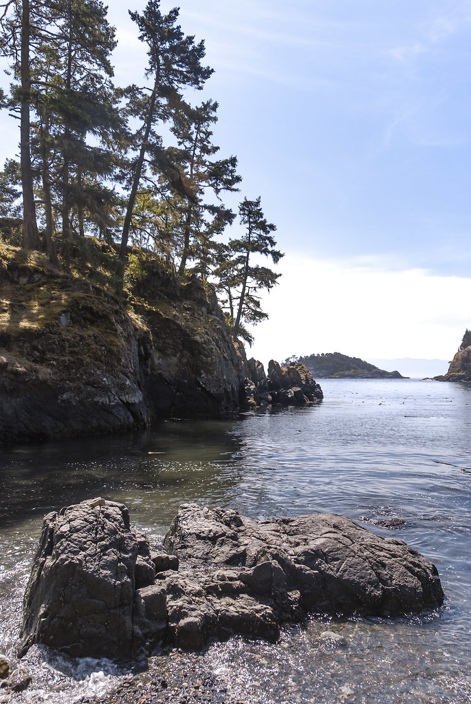
2009-08-17_11-51-18 Iron Mine Bay
ironminebay eastsookepark vancouverisland britishcolumbia canada bc
2009-08-17_11-59-02 East Sooke Park
beach ironminebay eastsookepark vancouverisland britishcolumbia canada bc
2009-08-17_11-53-00 Iron Mine Bay