Elevation of Soo, Kagoshima Prefecture, Japan
Location: Japan > Kagoshima Prefecture >
Longitude: 131.019390
Latitude: 31.653621
Elevation: 172m / 564feet
Barometric Pressure: 99KPa
Elevation Map:
Satellite Map:
Related Photos:
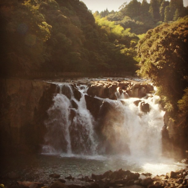
#japan #miyazaki 関之尾の滝 #instagram
Waterfall of Sekino-o

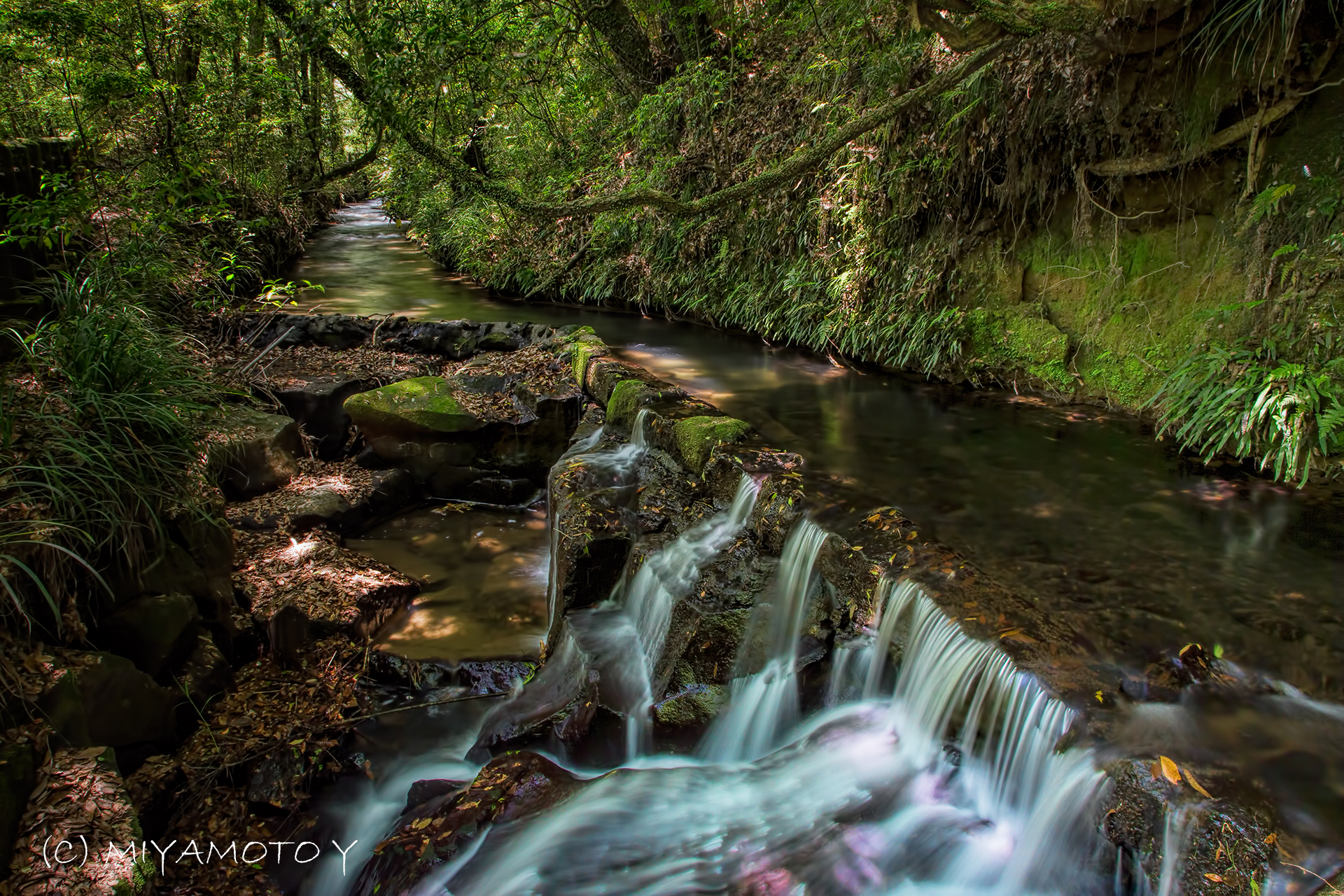
関之尾の甌穴

IMG_8592.JPG
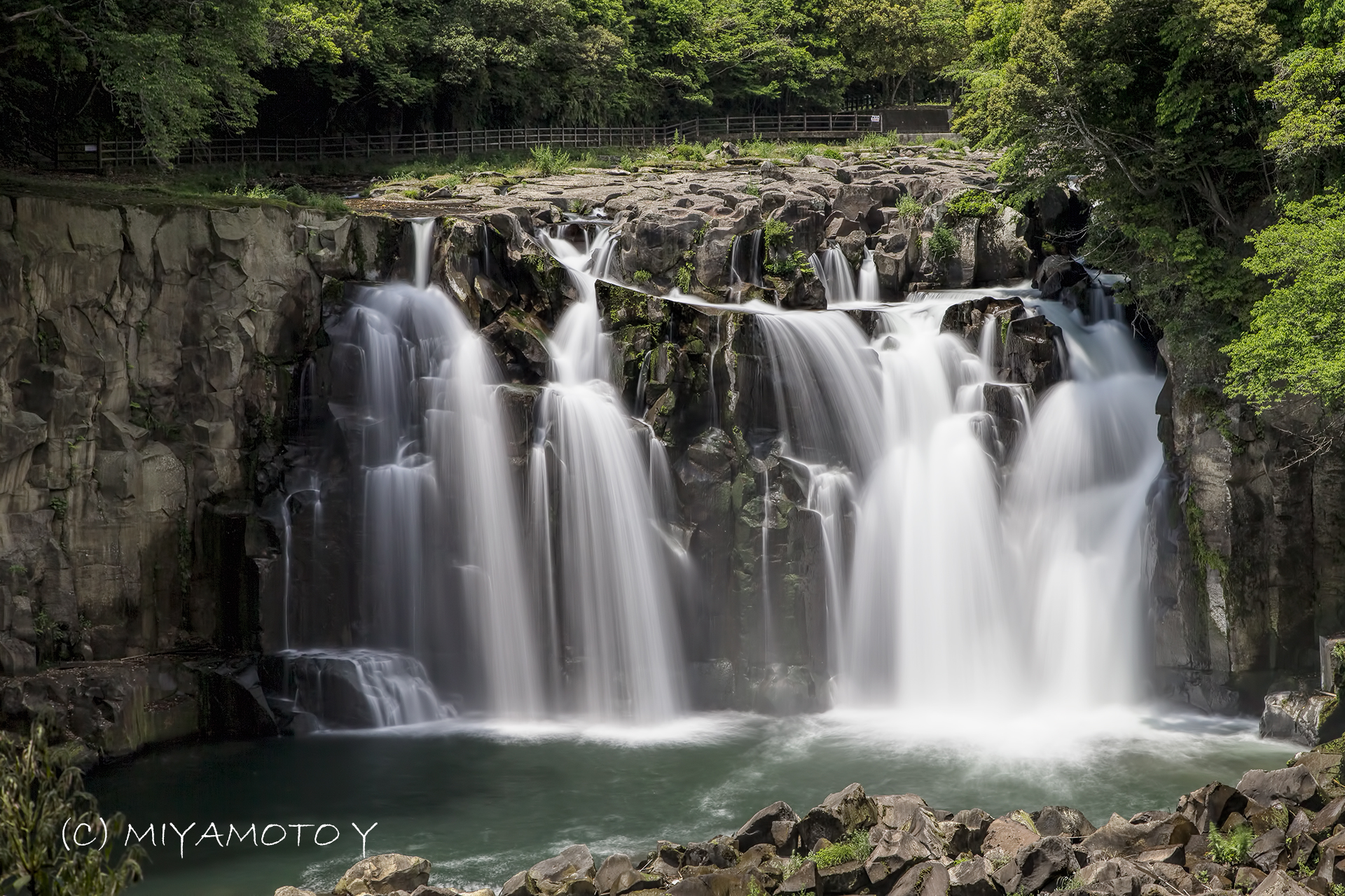
Waterfall of Sekino-o

100_2305.JPG
JR 九州 特急きりしま

関之尾の滝
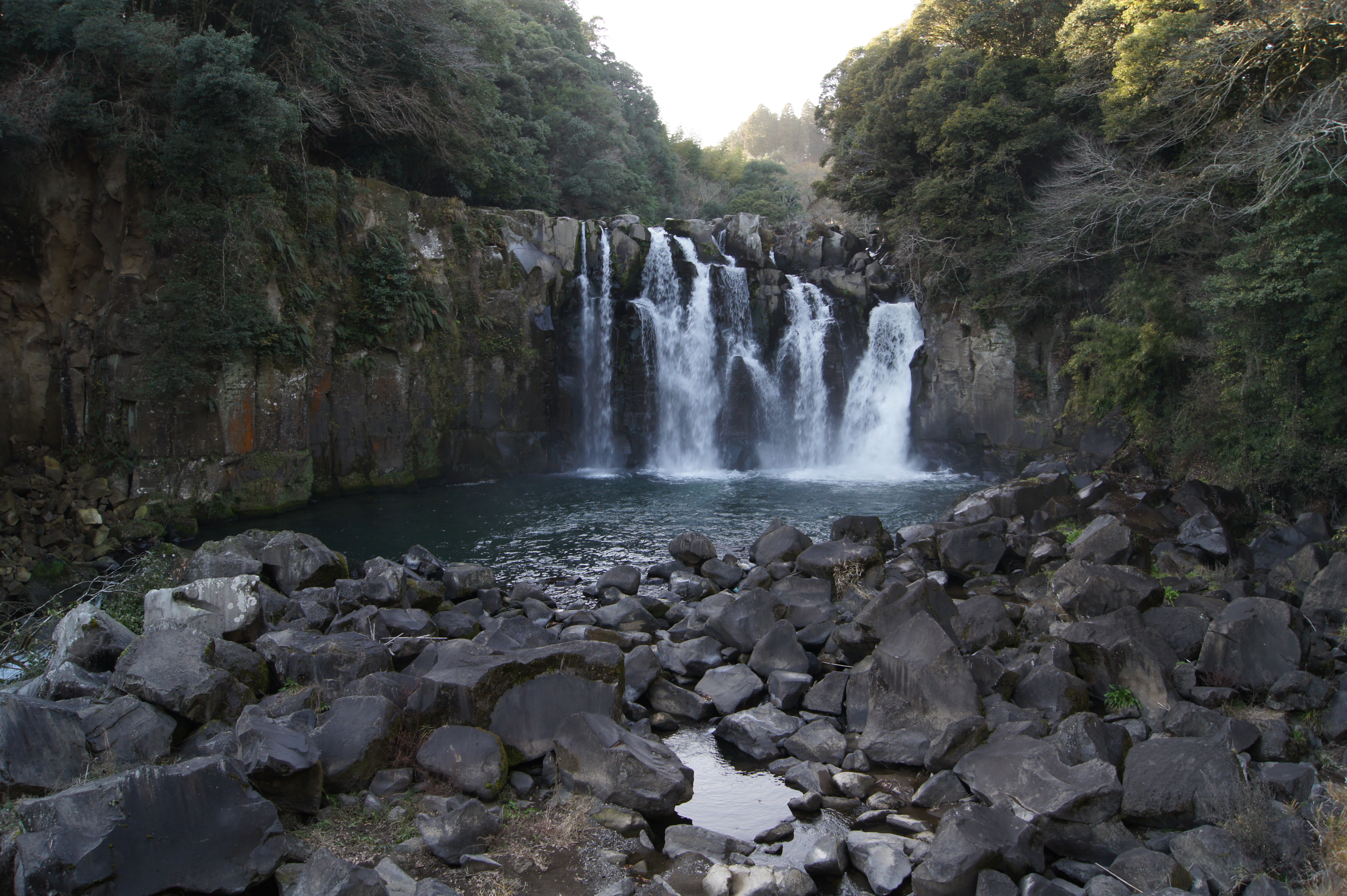
関之尾滝
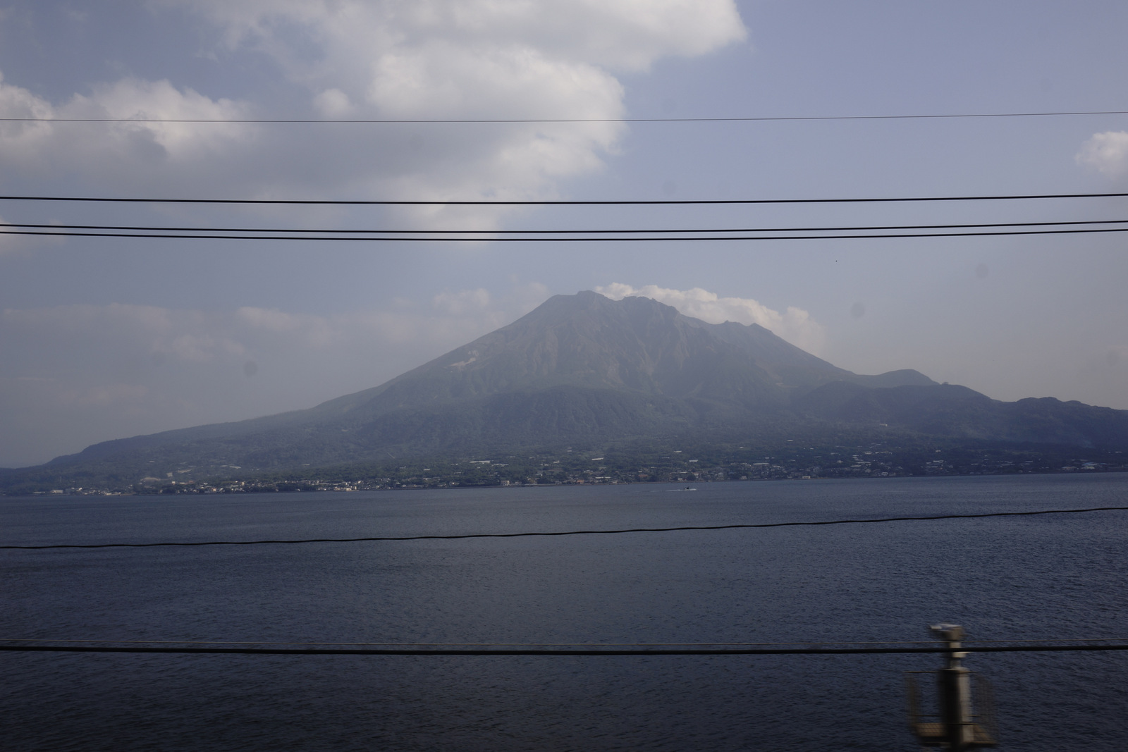
JR 九州 特急きりしま
JR 九州 特急きりしま
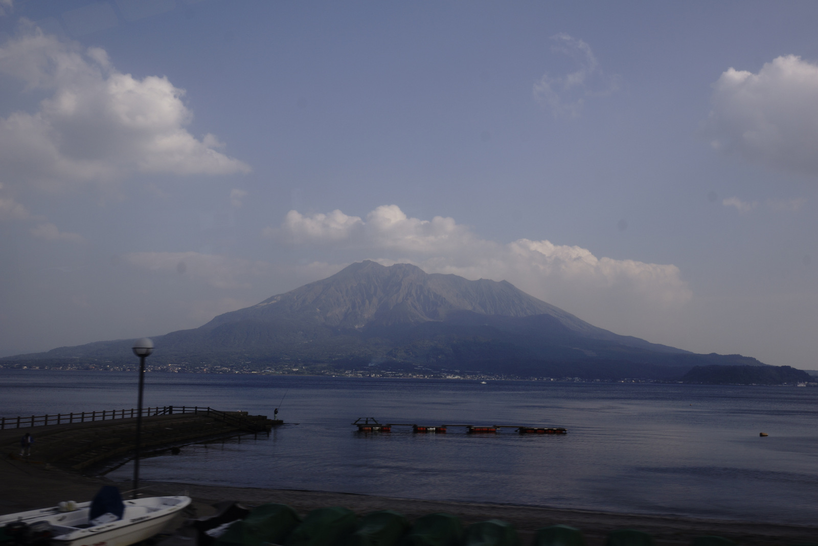
JR 九州 特急きりしま

100_2306.JPG
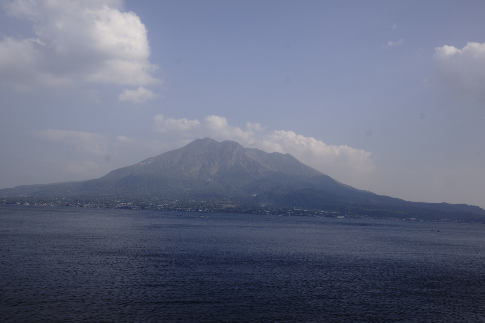
JR 九州 特急きりしま
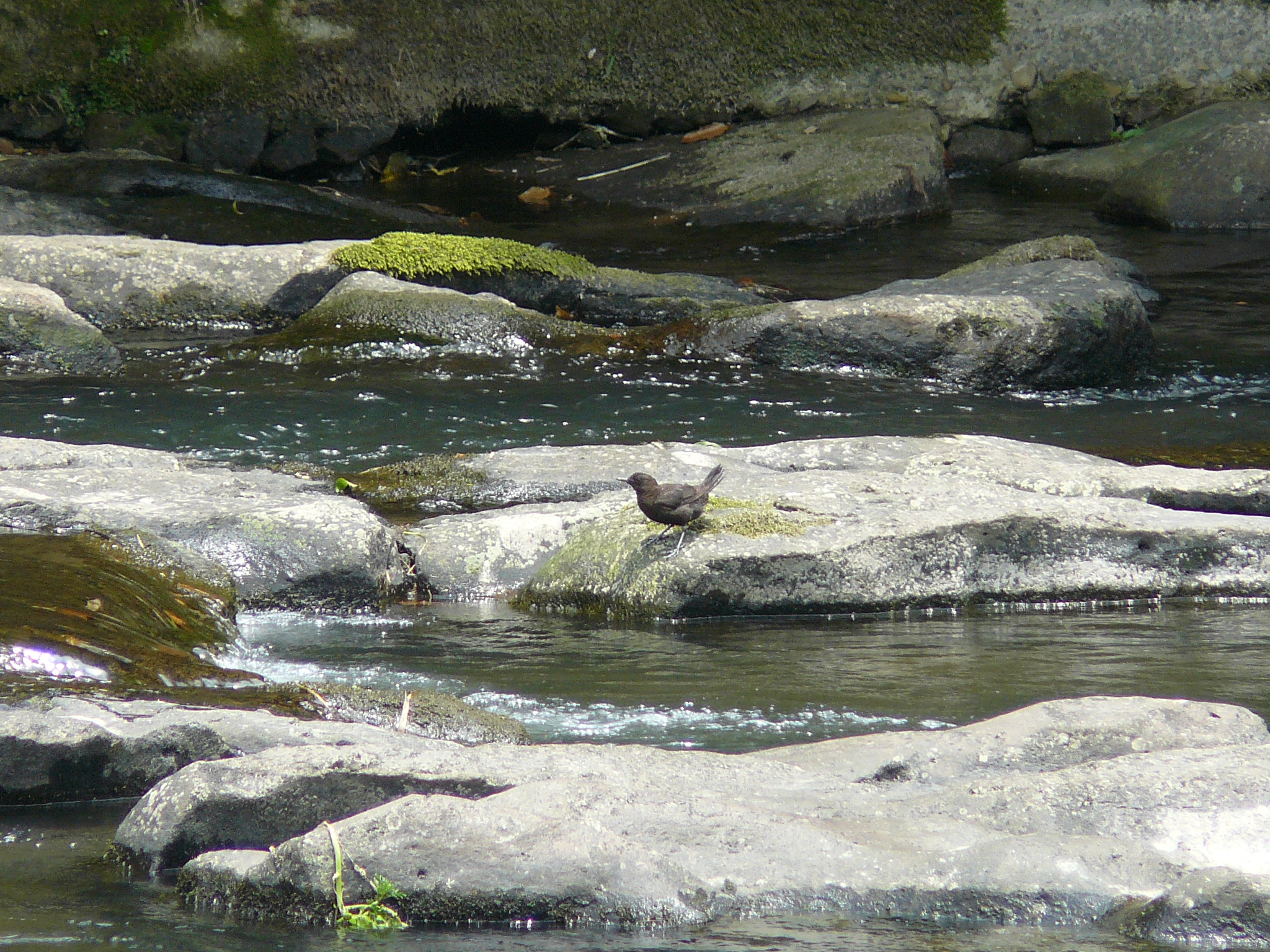
Brown Dipper - Kawagarasu
JR 九州 特急きりしま
JR 九州 特急きりしま
Topographic Map of Soo, Kagoshima Prefecture, Japan
Find elevation by address:

Places in Soo, Kagoshima Prefecture, Japan:
Places near Soo, Kagoshima Prefecture, Japan:
Sueyoshichō Suwakata, Soo-shi, Kagoshima-ken -, Japan
-13 Gojitchō, Miyakonojō-shi, Miyazaki-ken -, Japan
Miyakonojo
7-11 Hiraechō, Miyakonojō-shi, Miyazaki-ken -, Japan
Mimata
Nonomitanichō, Miyakonojō-shi, Miyazaki-ken -, Japan
Shibushi
-5 Ariakechō Noikura, Shibushi-shi, Kagoshima-ken -, Japan
Kitamorokata District
Nagata, Mimata-chō, Kitamorokata-gun, Miyazaki-ken -, Japan
Nagata, Mimata-chō, Kitamorokata-gun, Miyazaki-ken -, Japan
Mochidome, Ōsaki-chō, Soo-gun, Kagoshima-ken -, Japan
34 Nagayoshi, Ōsaki-chō, Soo-gun, Kagoshima-ken -, Japan
Soo District
Osaki
Mt. Takakuma
Higashikushira
Nishimorokata District
Takaharu
Shinkawanishi, Higashikushira-chō, Kimotsuki-gun, Kagoshima-ken -, Japan
Recent Searches:
- Elevation of Gateway Blvd SE, Canton, OH, USA
- Elevation of East W.T. Harris Boulevard, E W.T. Harris Blvd, Charlotte, NC, USA
- Elevation of West Sugar Creek, Charlotte, NC, USA
- Elevation of Wayland, NY, USA
- Elevation of Steadfast Ct, Daphne, AL, USA
- Elevation of Lagasgasan, X+CQH, Tiaong, Quezon, Philippines
- Elevation of Rojo Ct, Atascadero, CA, USA
- Elevation of Flagstaff Drive, Flagstaff Dr, North Carolina, USA
- Elevation of Avery Ln, Lakeland, FL, USA
- Elevation of Woolwine, VA, USA