Elevation of Soo District, Kagoshima Prefecture, Japan
Location: Japan > Kagoshima Prefecture >
Longitude: 130.983
Latitude: 31.439
Elevation: 22m / 72feet
Barometric Pressure: 101KPa
Elevation Map:
Satellite Map:
Related Photos:

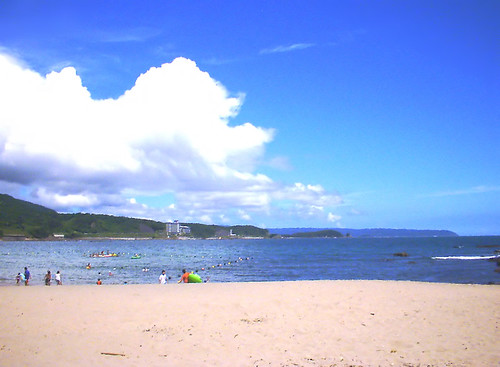
Star trails in Toi Cape

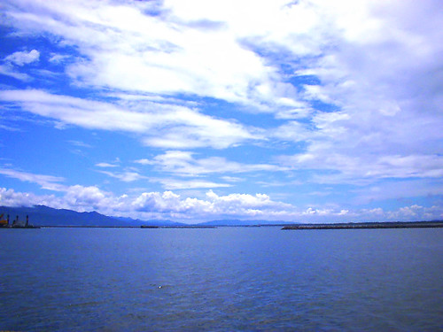
Mt. Kunimi

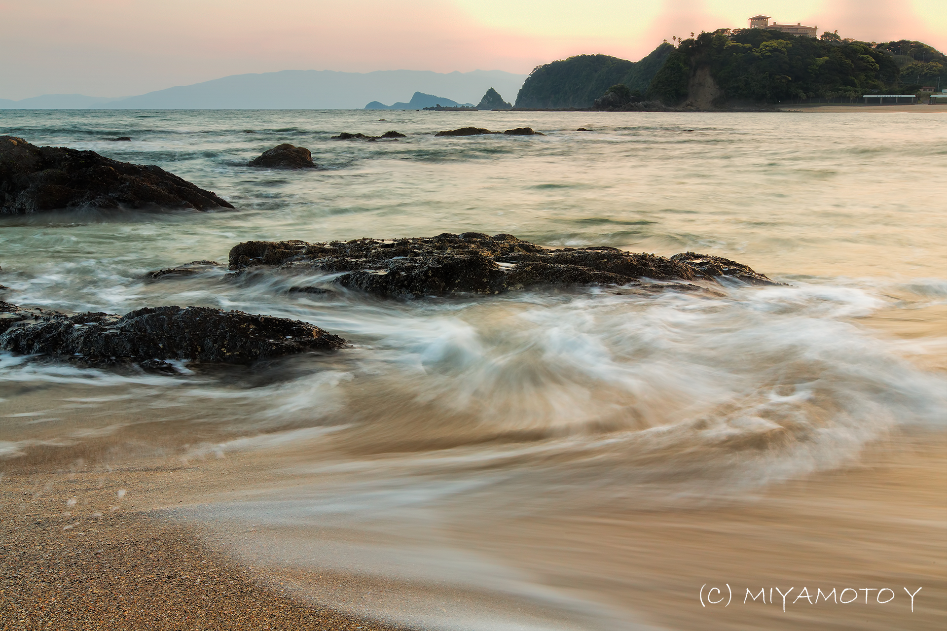
Seashore in sunset
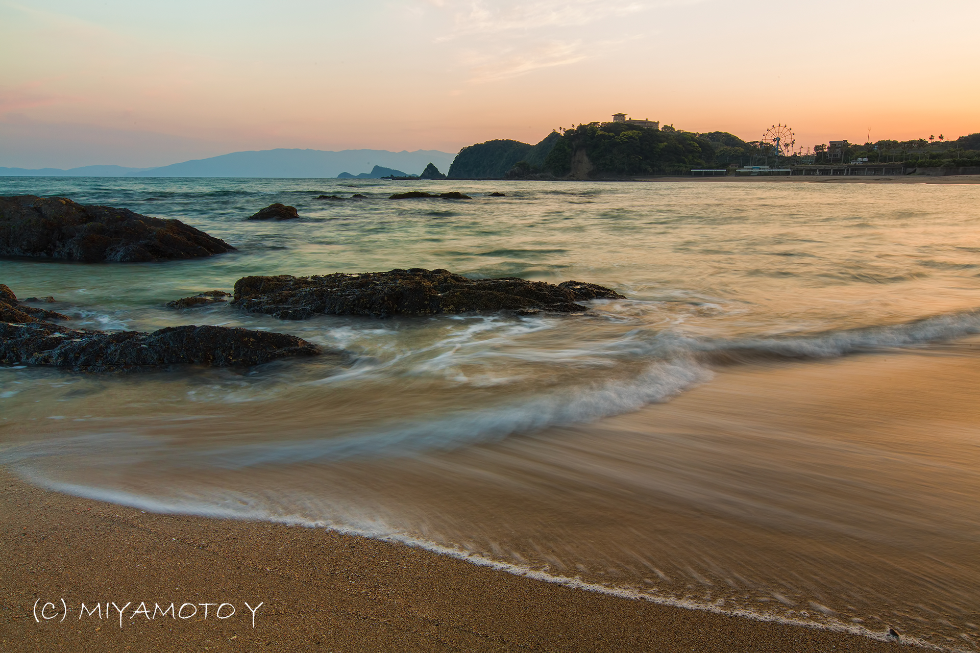
Seashore in sunset
タンカーが事故っていたらしい。
Seashore in sunset

Seashore in sunset
モクモクモク。
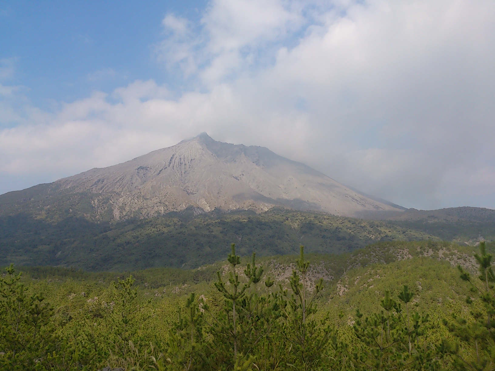
あんまり噴火はしてないようだ

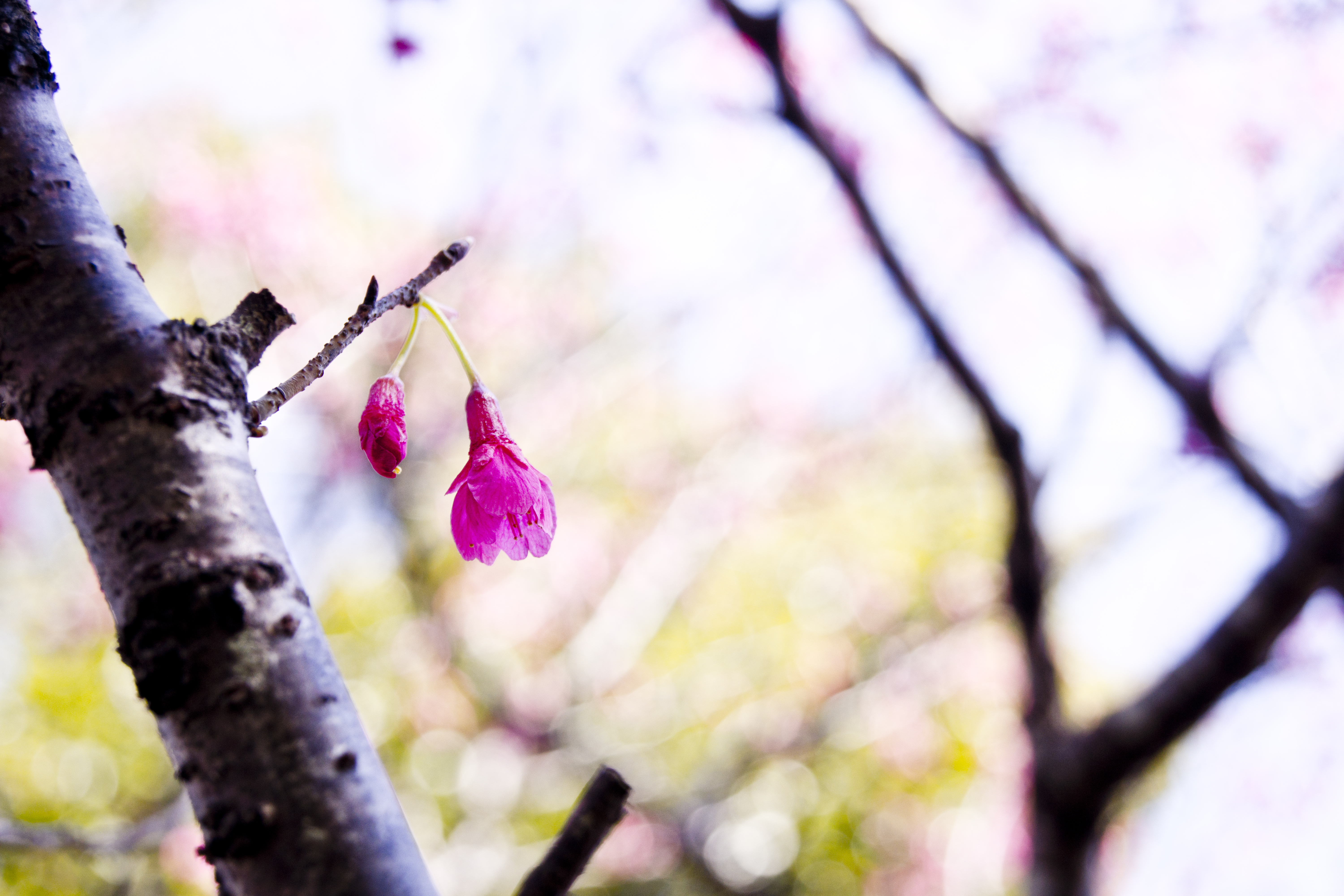
natural art
DSC05153-2
2016-02-28 11.59.08
2016-02-28 11.59.02
DSC05131-2
IMG_0333.JPG
Topographic Map of Soo District, Kagoshima Prefecture, Japan
Find elevation by address:

Places in Soo District, Kagoshima Prefecture, Japan:
Places near Soo District, Kagoshima Prefecture, Japan:
34 Nagayoshi, Ōsaki-chō, Soo-gun, Kagoshima-ken -, Japan
Osaki
Mochidome, Ōsaki-chō, Soo-gun, Kagoshima-ken -, Japan
Higashikushira
Shinkawanishi, Higashikushira-chō, Kimotsuki-gun, Kagoshima-ken -, Japan
-5 Ariakechō Noikura, Shibushi-shi, Kagoshima-ken -, Japan
Shibushi
Kimotsuki
-22 Ōjichō, Kanoya-shi, Kagoshima-ken -, Japan
-21 Ushiroda, Kimotsuki-chō, Kimotsuki-gun, Kagoshima-ken -, Japan
Kanoya
Kitakata, Kimotsuki-chō, Kimotsuki-gun, Kagoshima-ken -, Japan
Mt. Takakuma
Kitakata, Kimotsuki-chō, Kimotsuki-gun, Kagoshima-ken -, Japan
-4 Minamikata, Kimotsuki-chō, Kimotsuki-gun, Kagoshima-ken -, Japan
Sueyoshichō Suwakata, Soo-shi, Kagoshima-ken -, Japan
Soo
-5 Kishira, Kimotsuki-chō, Kimotsuki-gun, Kagoshima-ken -, Japan
(Sonota), Kimotsuki-chō, Kimotsuki-gun, Kagoshima-ken -, Japan
Kishira, Kimotsuki-chō, Kimotsuki-gun, Kagoshima-ken -, Japan
Recent Searches:
- Elevation of Pykes Down, Ivybridge PL21 0BY, UK
- Elevation of Jalan Senandin, Lutong, Miri, Sarawak, Malaysia
- Elevation of Bilohirs'k
- Elevation of 30 Oak Lawn Dr, Barkhamsted, CT, USA
- Elevation of Luther Road, Luther Rd, Auburn, CA, USA
- Elevation of Unnamed Road, Respublika Severnaya Osetiya — Alaniya, Russia
- Elevation of Verkhny Fiagdon, North Ossetia–Alania Republic, Russia
- Elevation of F. Viola Hiway, San Rafael, Bulacan, Philippines
- Elevation of Herbage Dr, Gulfport, MS, USA
- Elevation of Lilac Cir, Haldimand, ON N3W 2G9, Canada