Elevation of Sonoma Springs Ave, Las Cruces, NM, USA
Location: United States > New Mexico > Doña Ana County > Las Cruces >
Longitude: -106.73566
Latitude: 32.3317377
Elevation: 1278m / 4193feet
Barometric Pressure: 87KPa
Elevation Map:
Satellite Map:
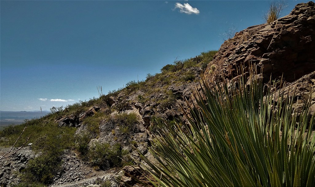
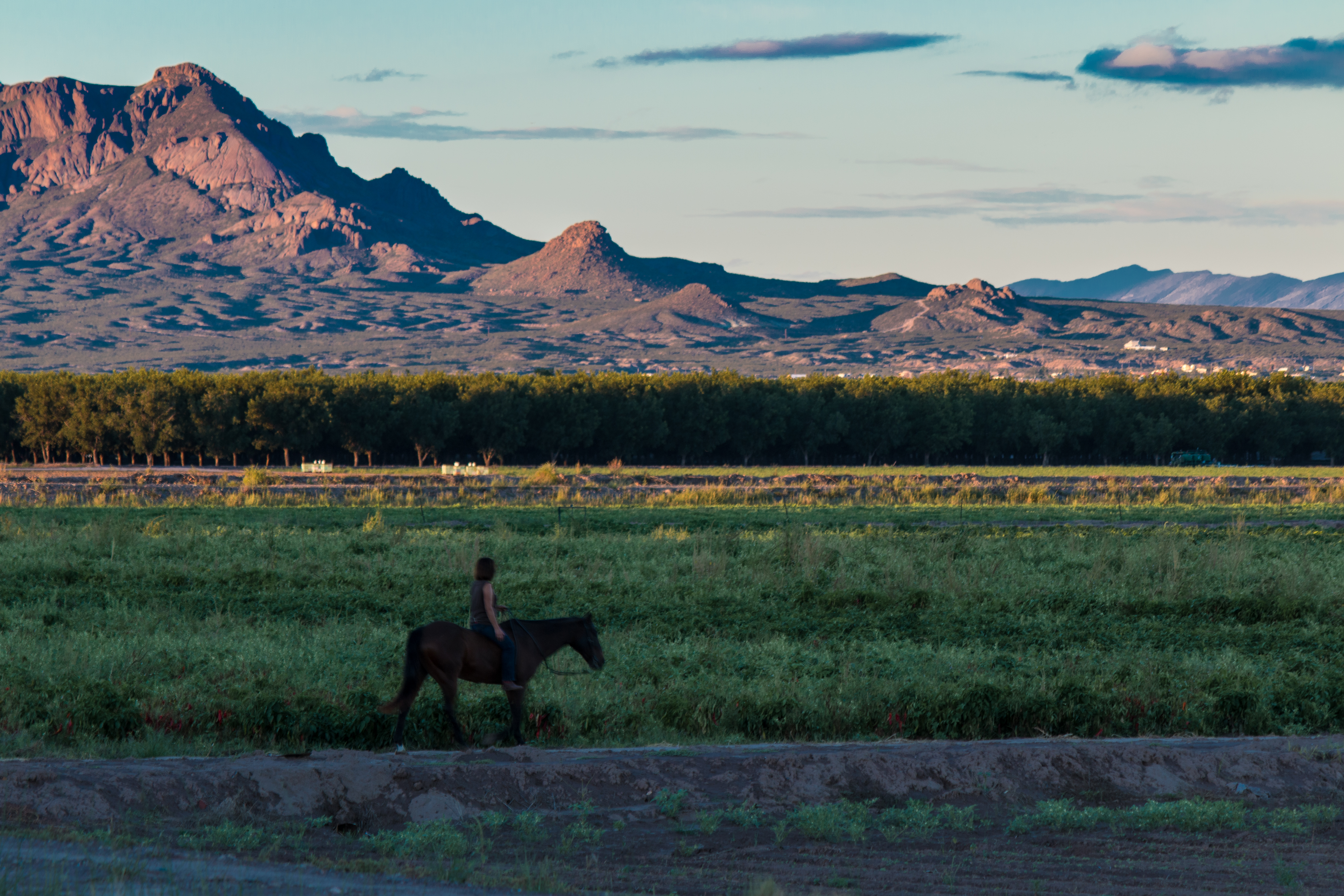
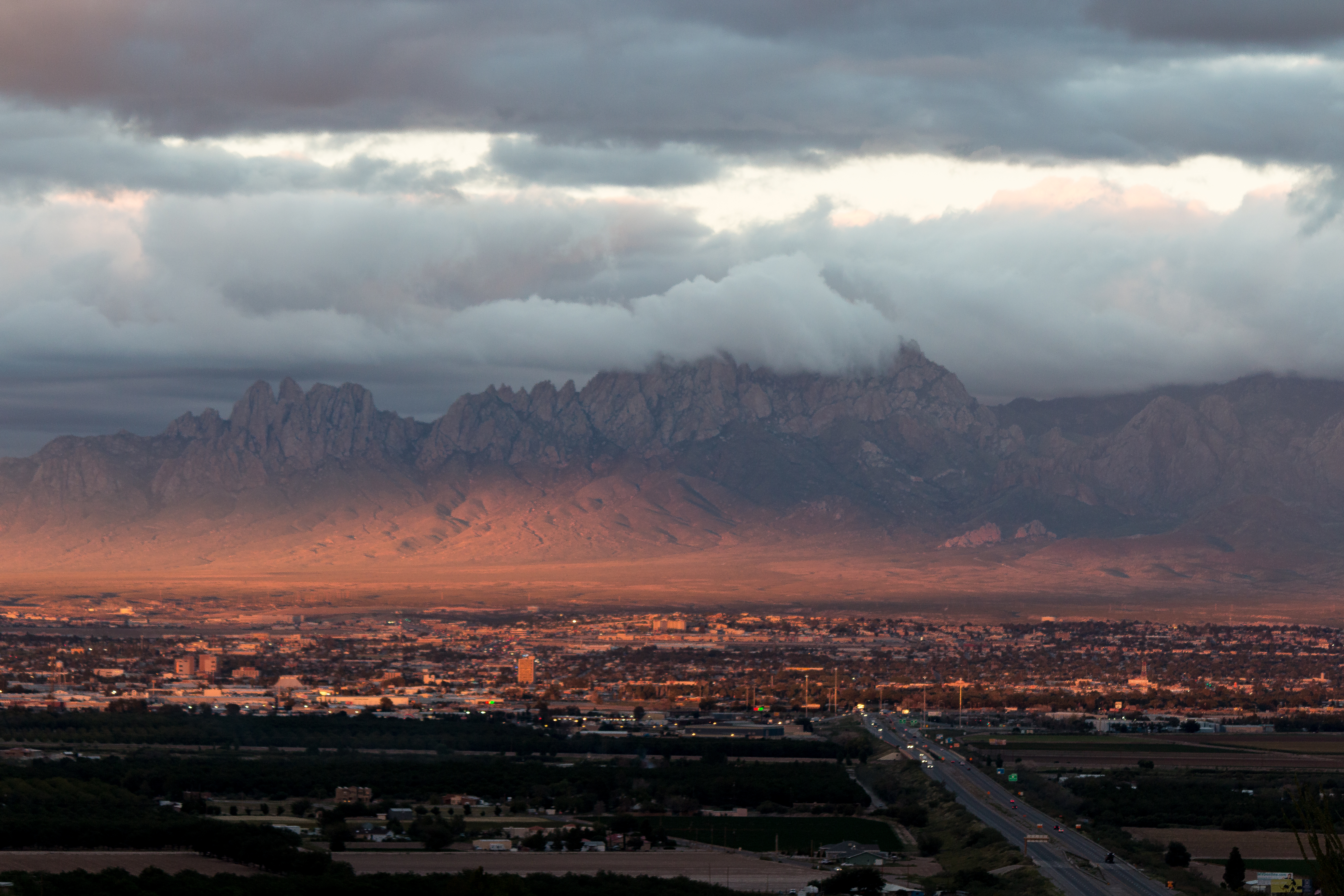
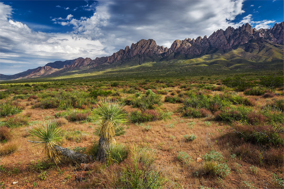
Related Photos:
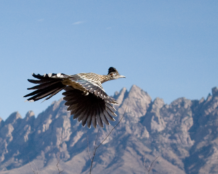
Roadrunner in Flight Close View
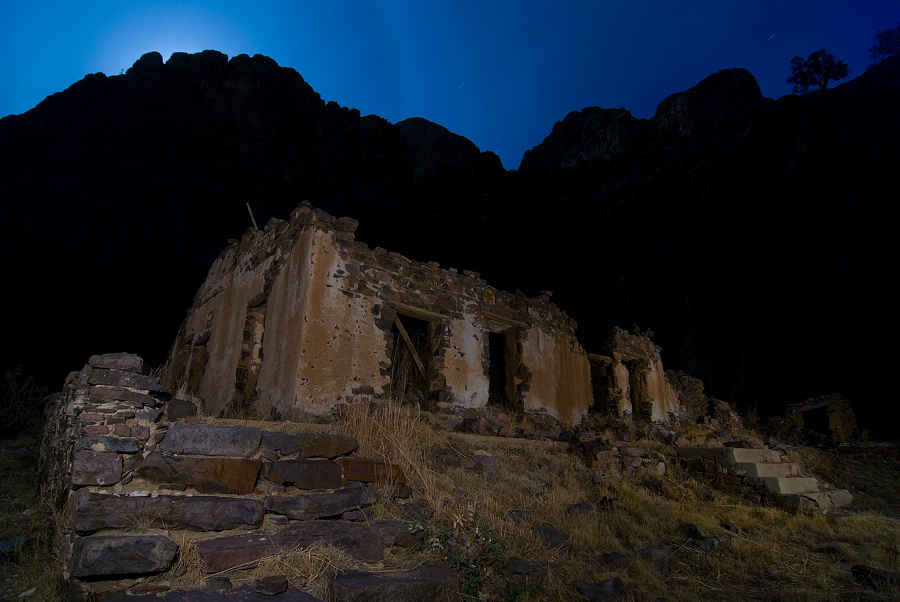
Moonrise Van Patten
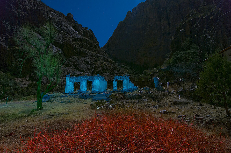
RGB 7.0
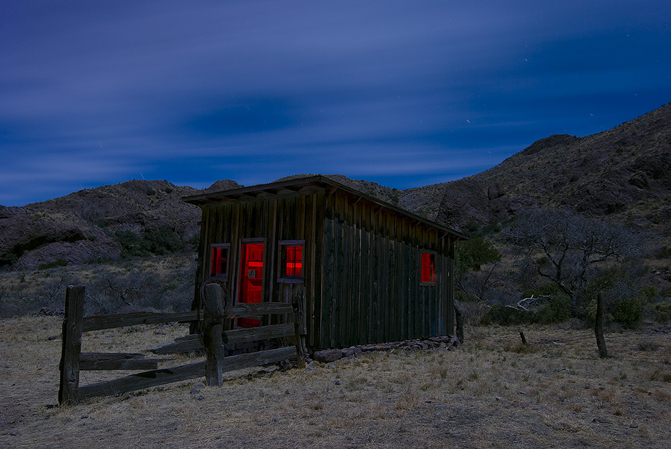
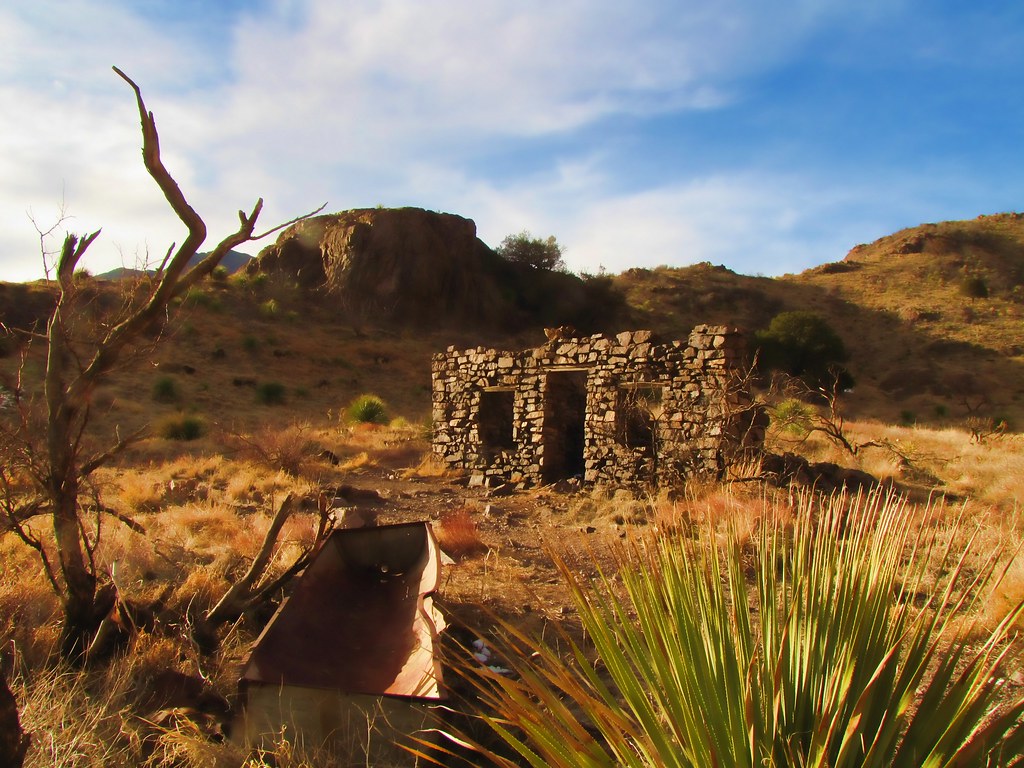
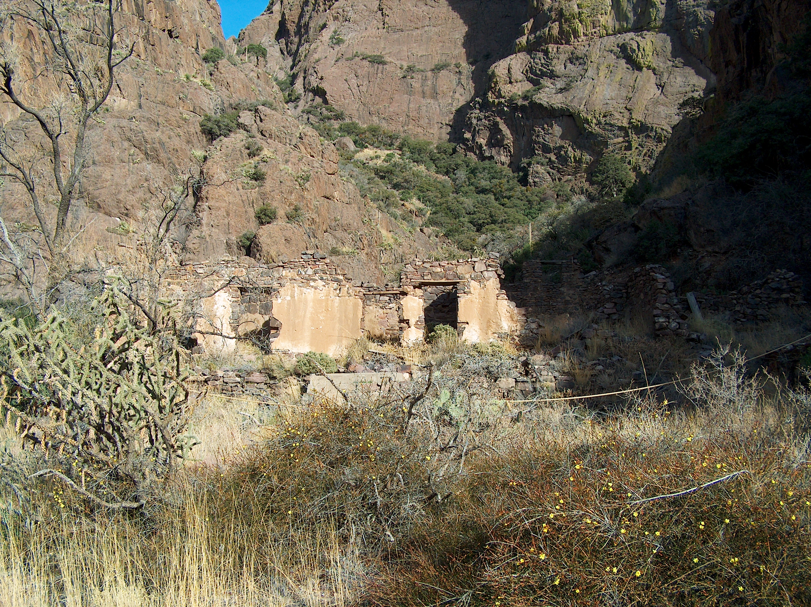
Coach House
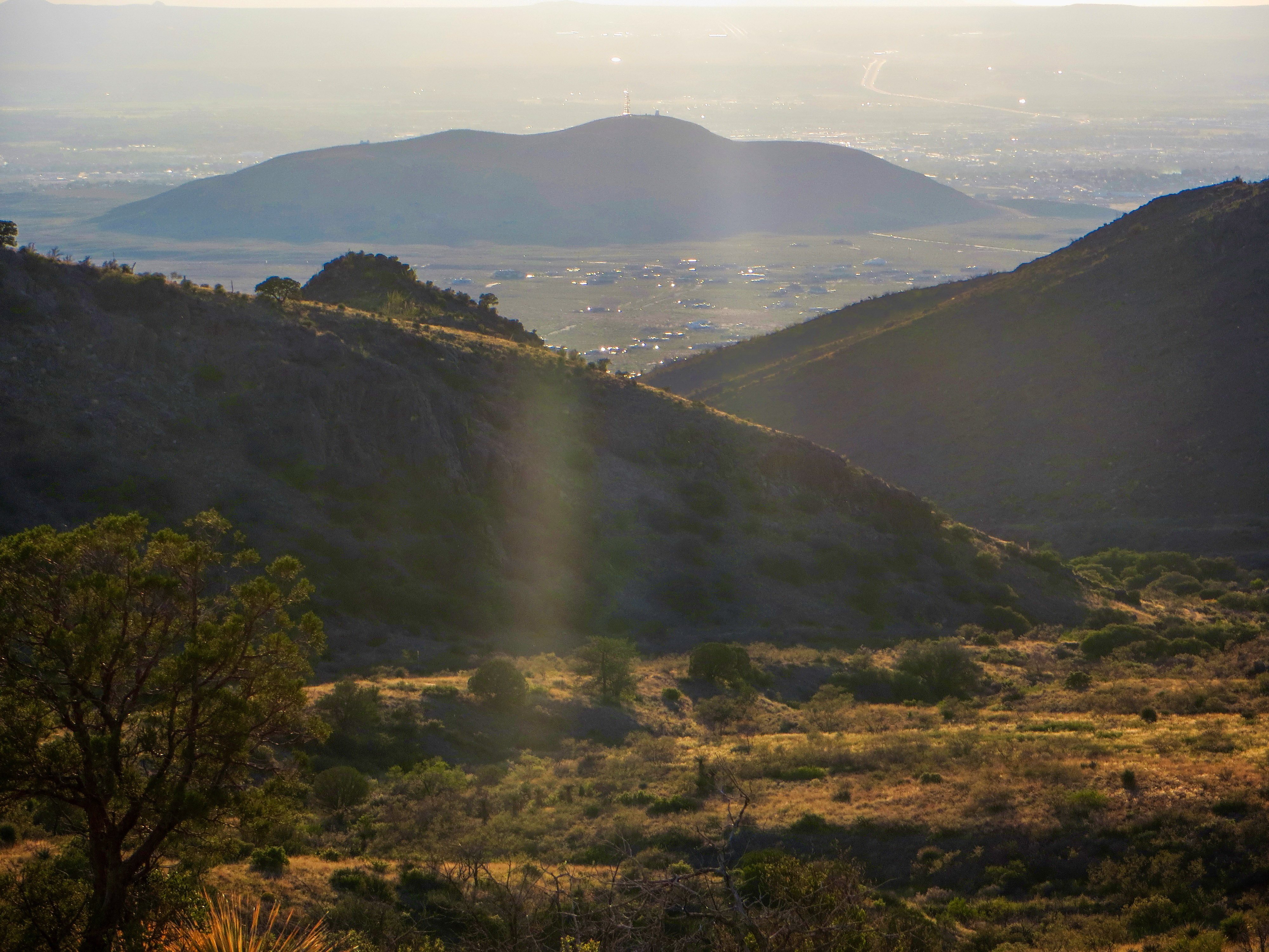
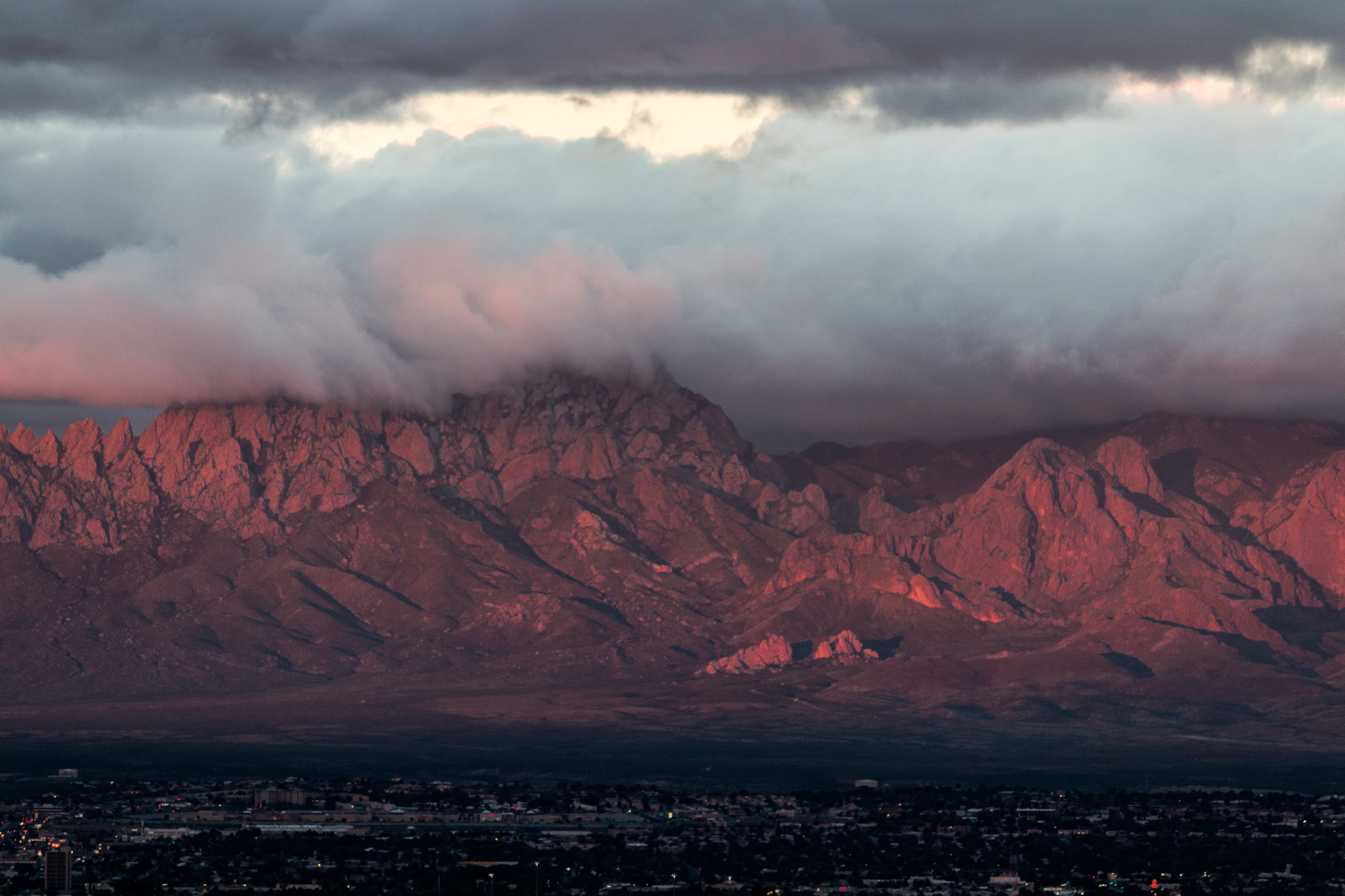
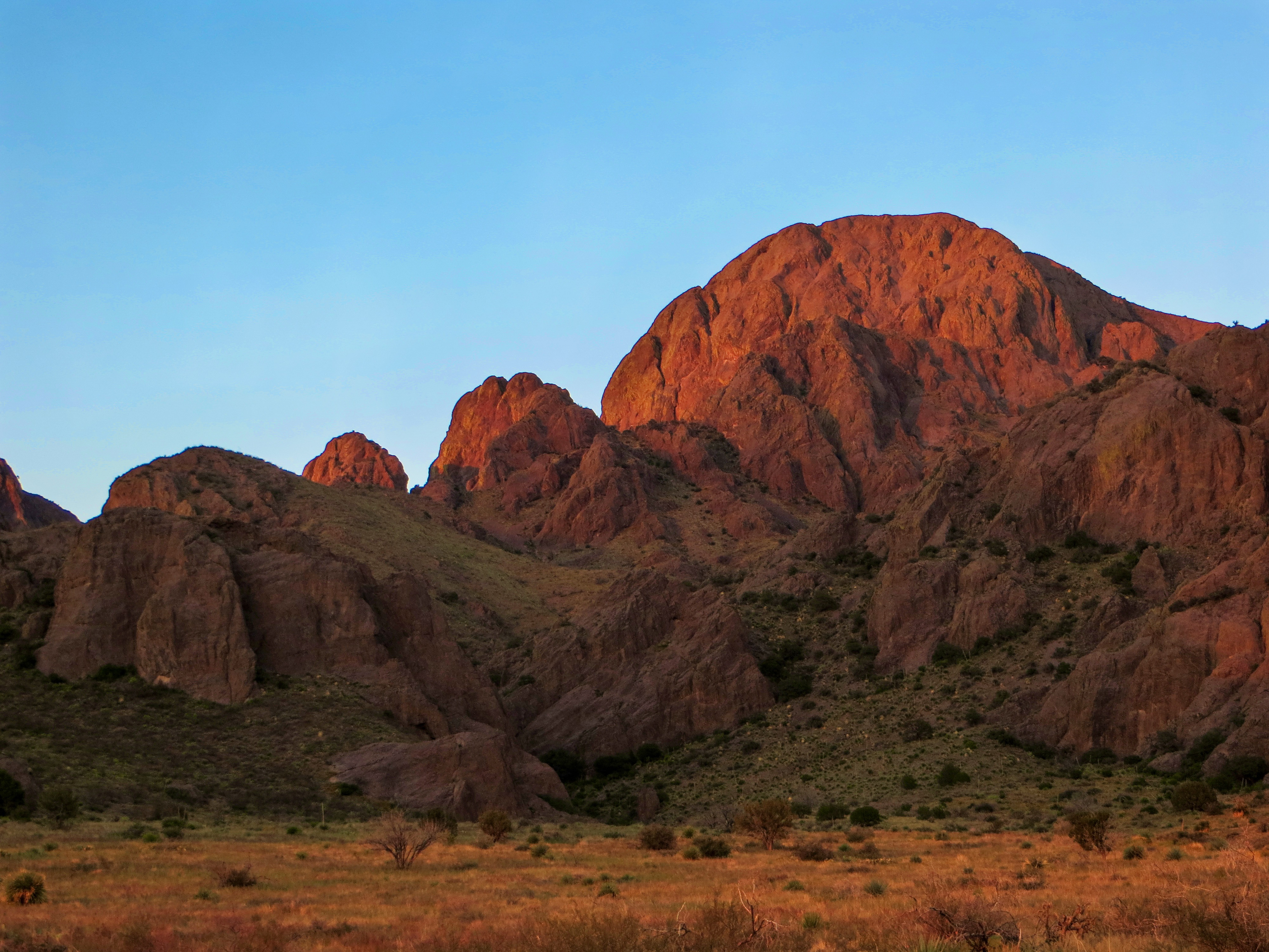
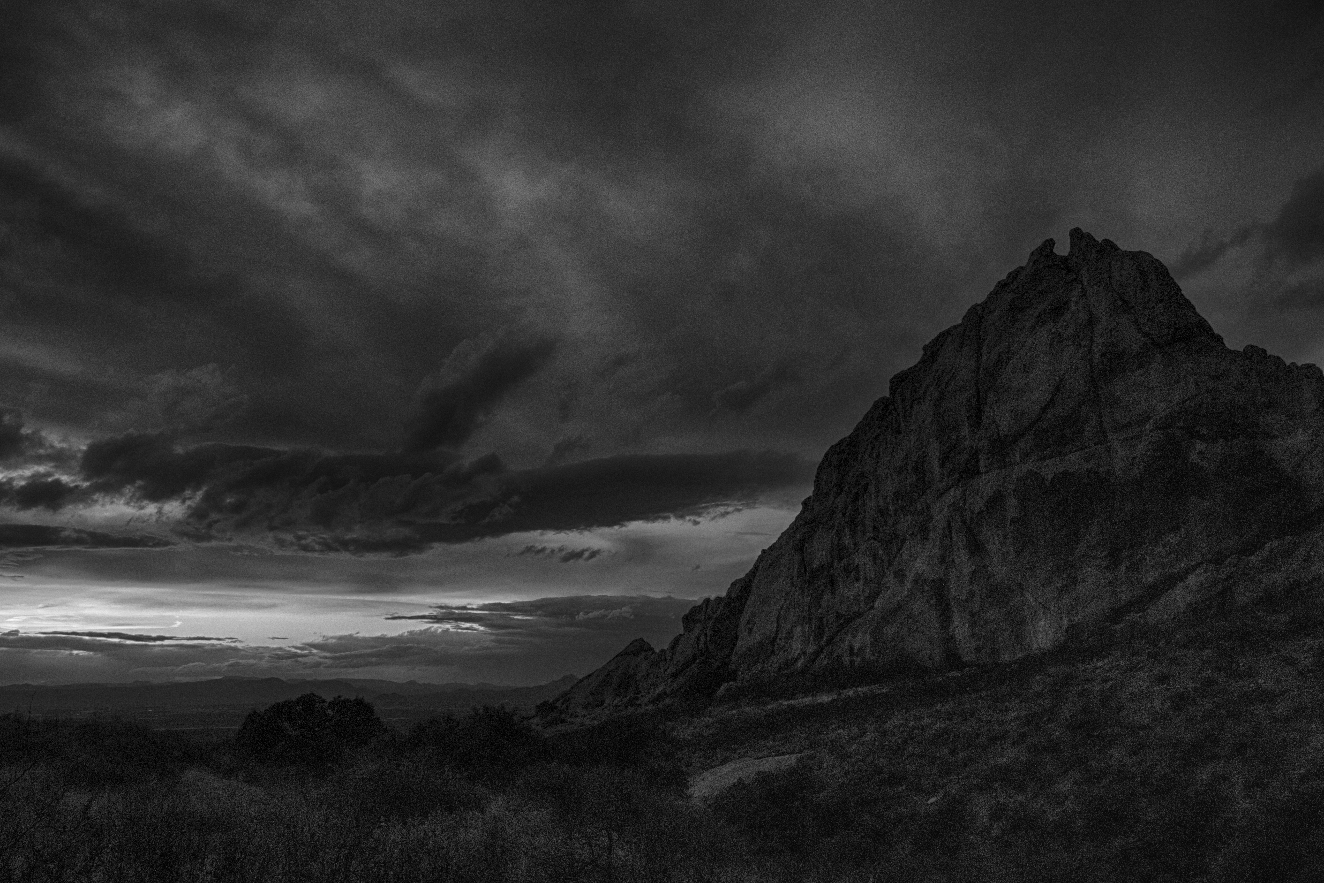
Sunset on the Organ Mountains
Baylor Pass trail-1356-Pano
Bar Canyon hike-154117
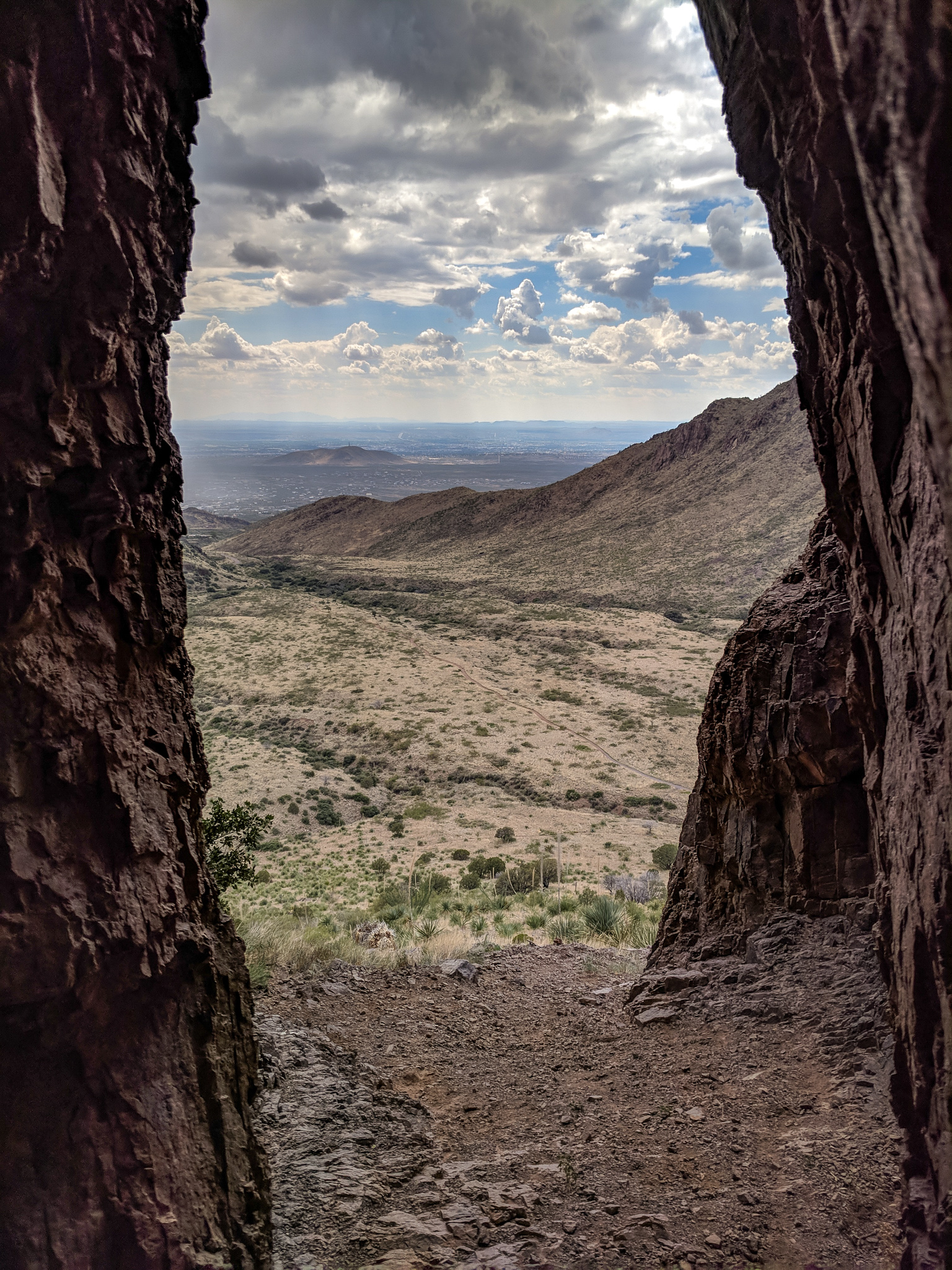
the view
Bar Canyon hike-154024
Camp & Cactus
Baylor Pass trail-1317-Pano

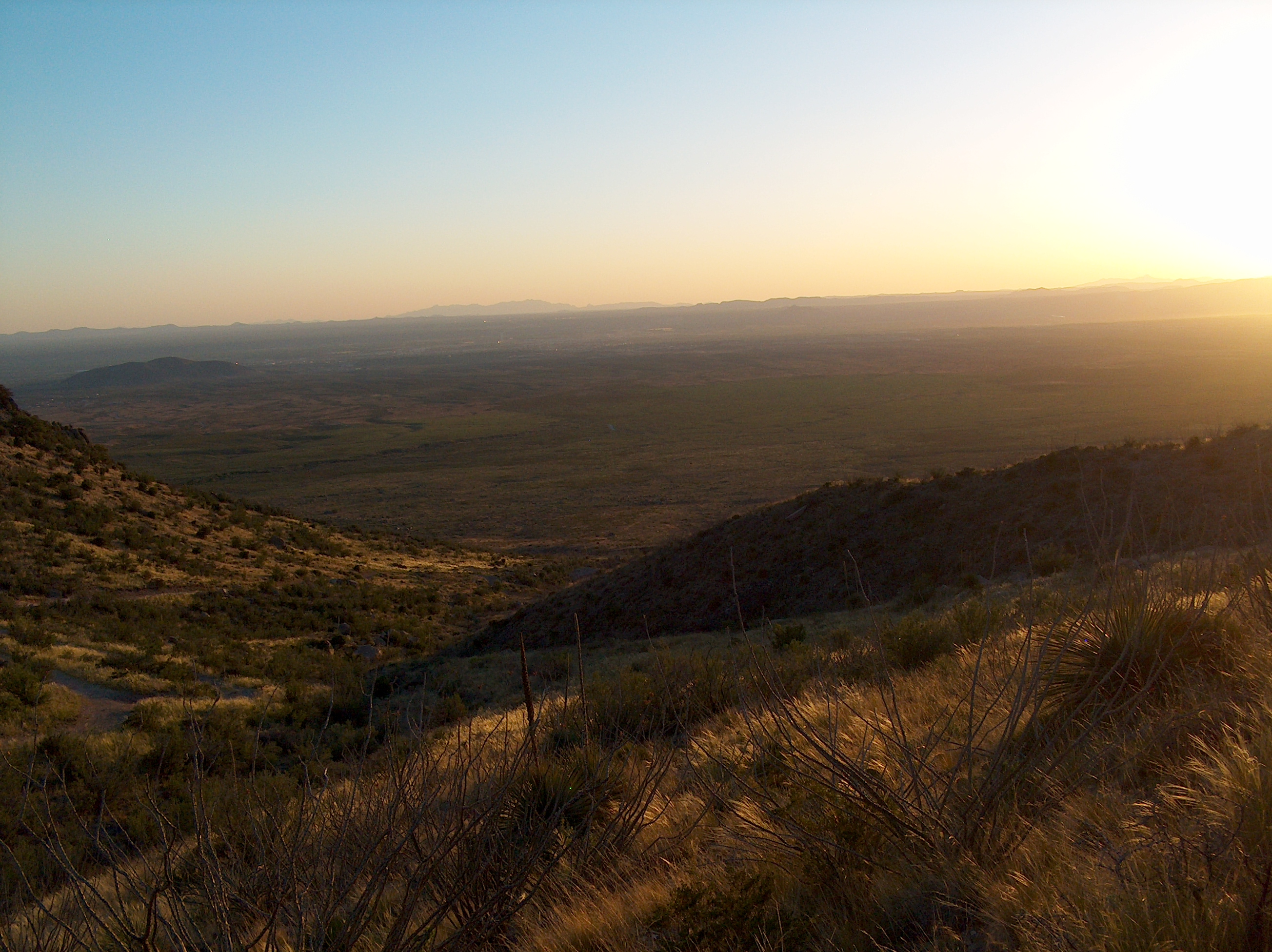
Awesome views going on right now.

Great run followed by an even better #sunset view!
Another view from the top
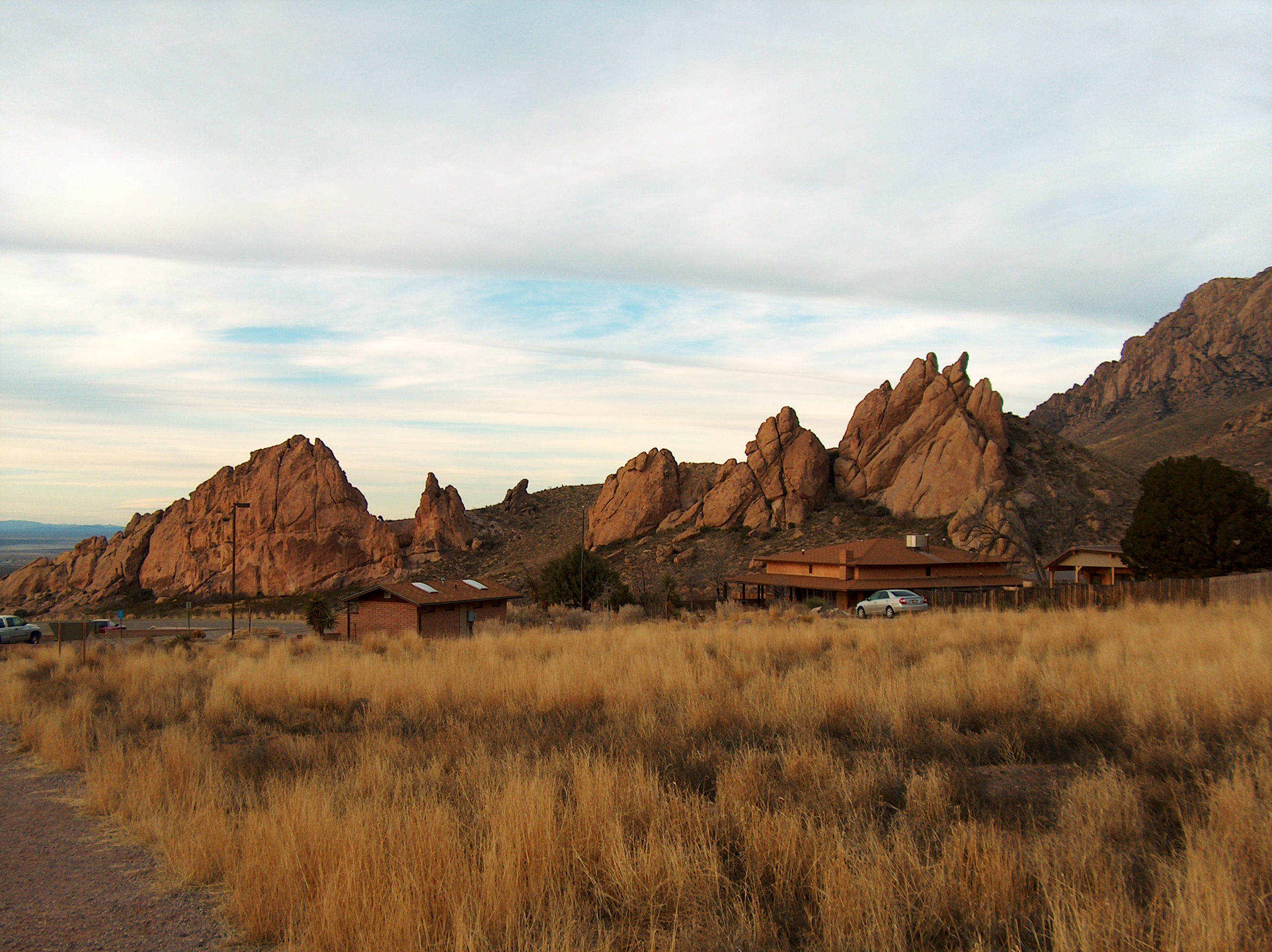
View of "A" Mountain from Soledad Canyon in Organ Mountain foothills
Bar Canyon hike-154351
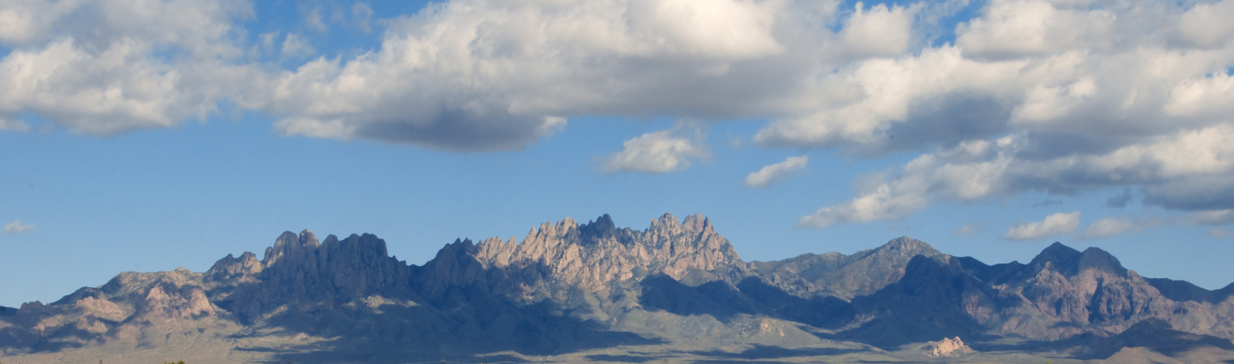
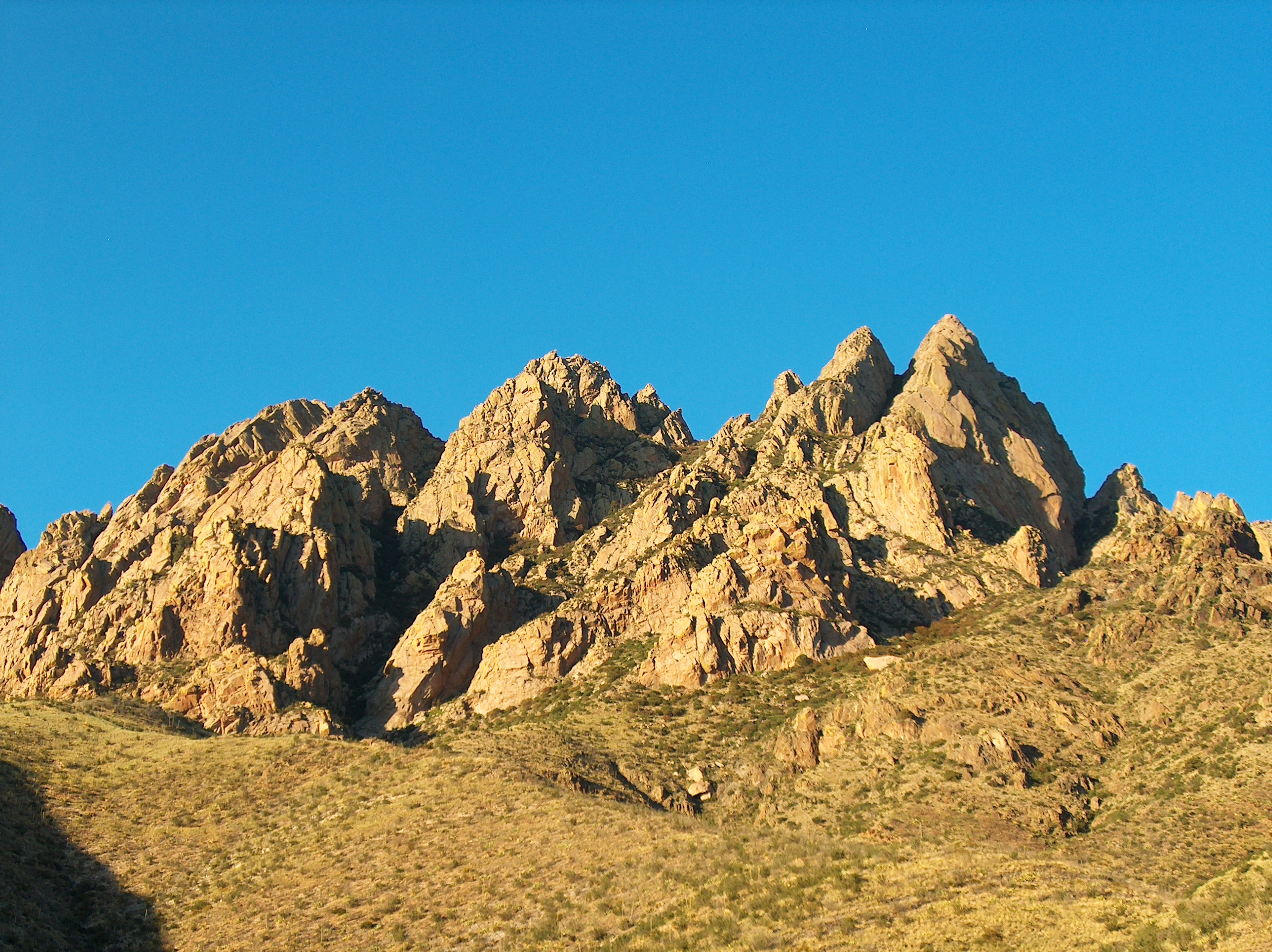
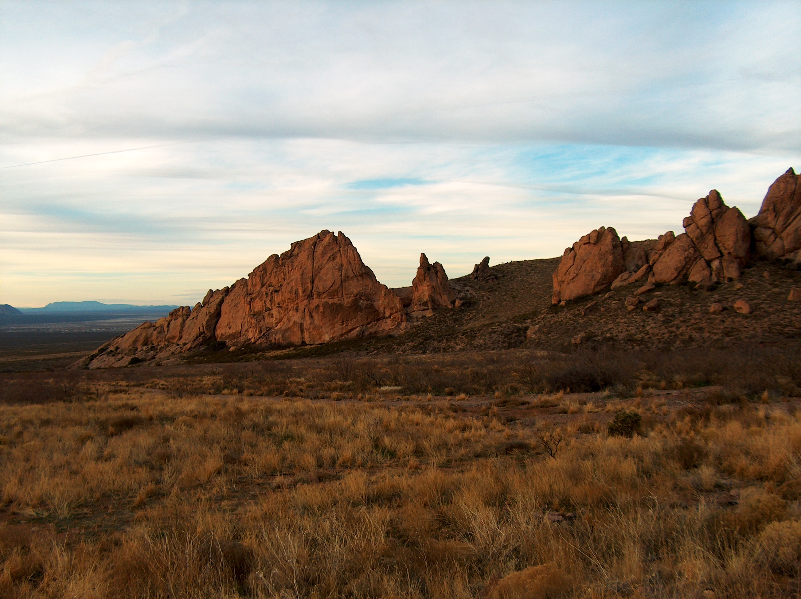
Organ Mountains
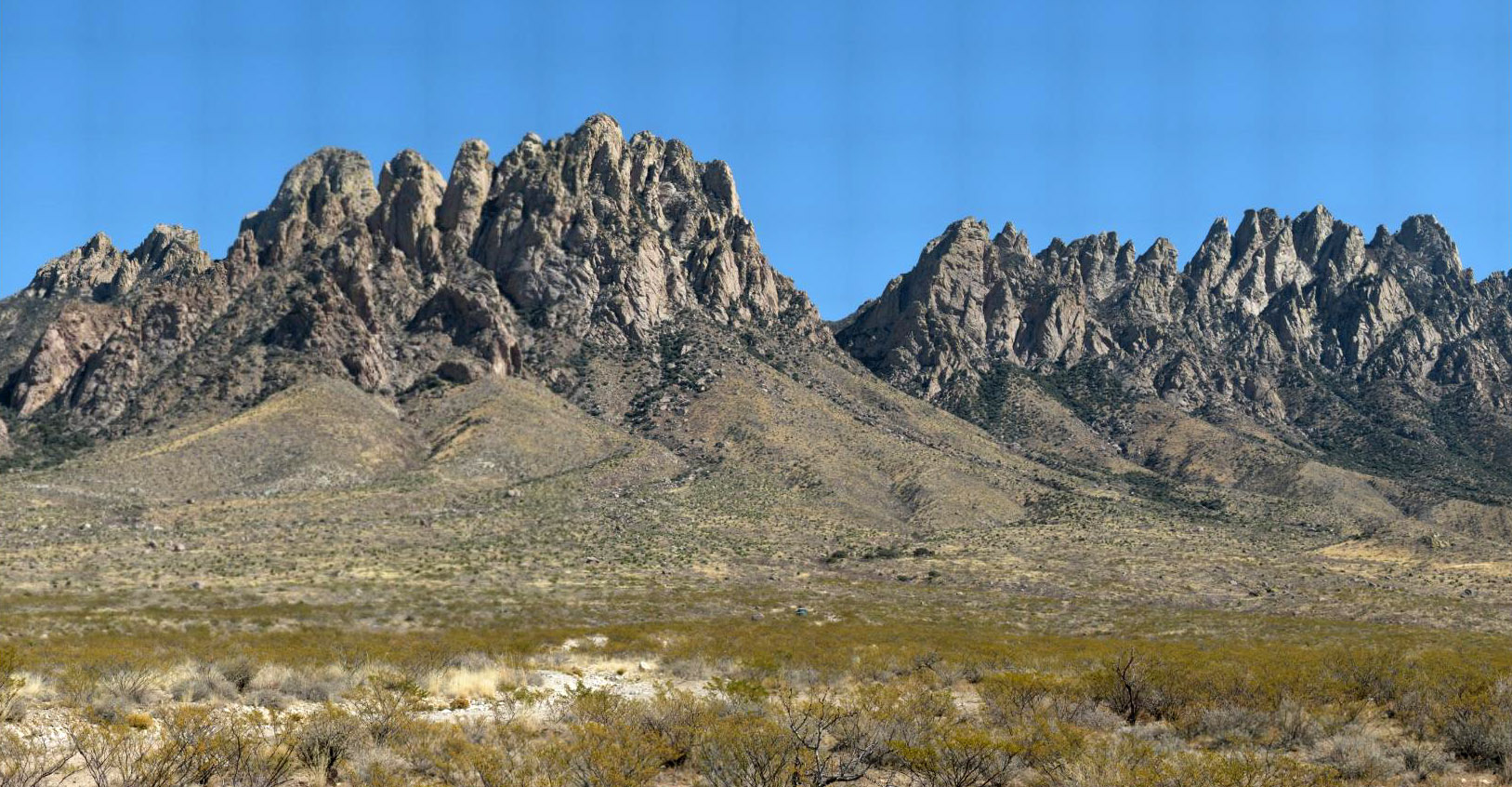
Organ Mountains
Achenbach Canyon Power Line
La Llorona Park view to west 5
View from Emory Pass in the Black Range. Emory Pass is the highest point on NM Highway 152. The views are spectacular but sadly the damage from forest fires are very evident. I will post more photos tomorrow. Photo edited with snapseed #emorypass #gilanat
Rio Grande Winery
the old plantation
????
Las Cruces-3473
Mountain Vista #fromthearchives #organmountains
La Cueva trail, Organ Mountains, NM
Shalem Colony Rd 9-19-14-3510
Las Cruces-3460
Ride around NM Okt14-6a

La Cueva at sunset-3889
Modoc Mine

Canal Walking in the Mesilla Valley, NM
Soledad Canyon Rock Face at sun set
Dripping Springs
Modoc Mine
Dripping Springs
Dripping Springs
La Cueva at sunset-3931
Topographic Map of Sonoma Springs Ave, Las Cruces, NM, USA
Find elevation by address:

Places near Sonoma Springs Ave, Las Cruces, NM, USA:
1722 Oro Piedras Dr
4069 Demos Ave
501 Roadrunner Pkwy
Sonoma Ranch Boulevard
El Presidio
2421 Cheyenne Dr
1110 Roadrunner Pkwy
4511 Paseo Azul
500 S Telshor Blvd
2350 E Lohman Ave
Las Cruces
1700 Salinas Dr
307 Del Monte St
2800 Missouri Ave
2035 San Acacio St
3241 Fairway Dr
2009 Princess Jeanne Dr
Alta Tierra Apartments
1425 Wade St
Las Cruces, NM, USA
Recent Searches:
- Elevation of Congressional Dr, Stevensville, MD, USA
- Elevation of Bellview Rd, McLean, VA, USA
- Elevation of Stage Island Rd, Chatham, MA, USA
- Elevation of Shibuya Scramble Crossing, 21 Udagawacho, Shibuya City, Tokyo -, Japan
- Elevation of Jadagoniai, Kaunas District Municipality, Lithuania
- Elevation of Pagonija rock, Kranto 7-oji g. 8"N, Kaunas, Lithuania
- Elevation of Co Rd 87, Jamestown, CO, USA
- Elevation of Tenjo, Cundinamarca, Colombia
- Elevation of Côte-des-Neiges, Montreal, QC H4A 3J6, Canada
- Elevation of Bobcat Dr, Helena, MT, USA