Elevation of Sonnleiten, Austria
Location: Austria > Carinthia > Hermagor District > Gemeinde Hermagor-pressegger See >
Longitude: 13.25611
Latitude: 46.58422
Elevation: 1380m / 4528feet
Barometric Pressure: 86KPa
Elevation Map:
Satellite Map:
Related Photos:
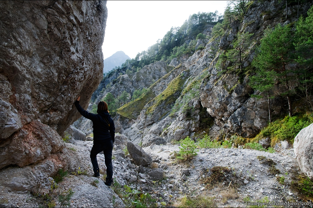
Along the "rio"
Gitschtal - Kärnten
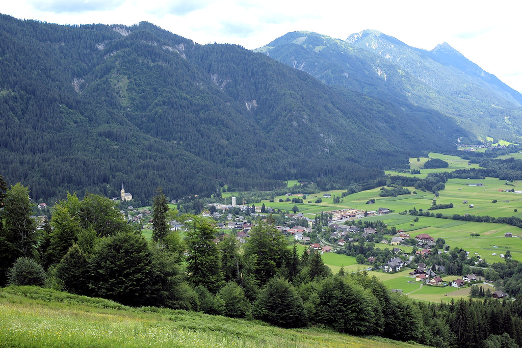
Weißbriach im Gitschtal

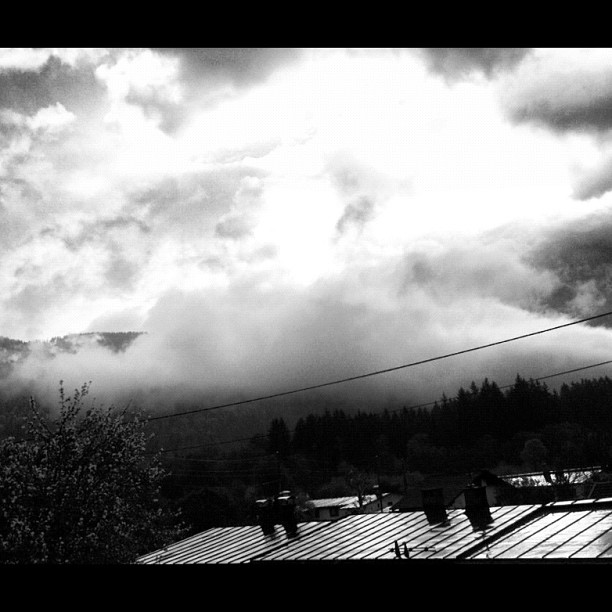
Misty Dawn
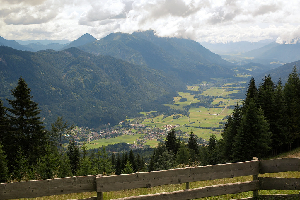
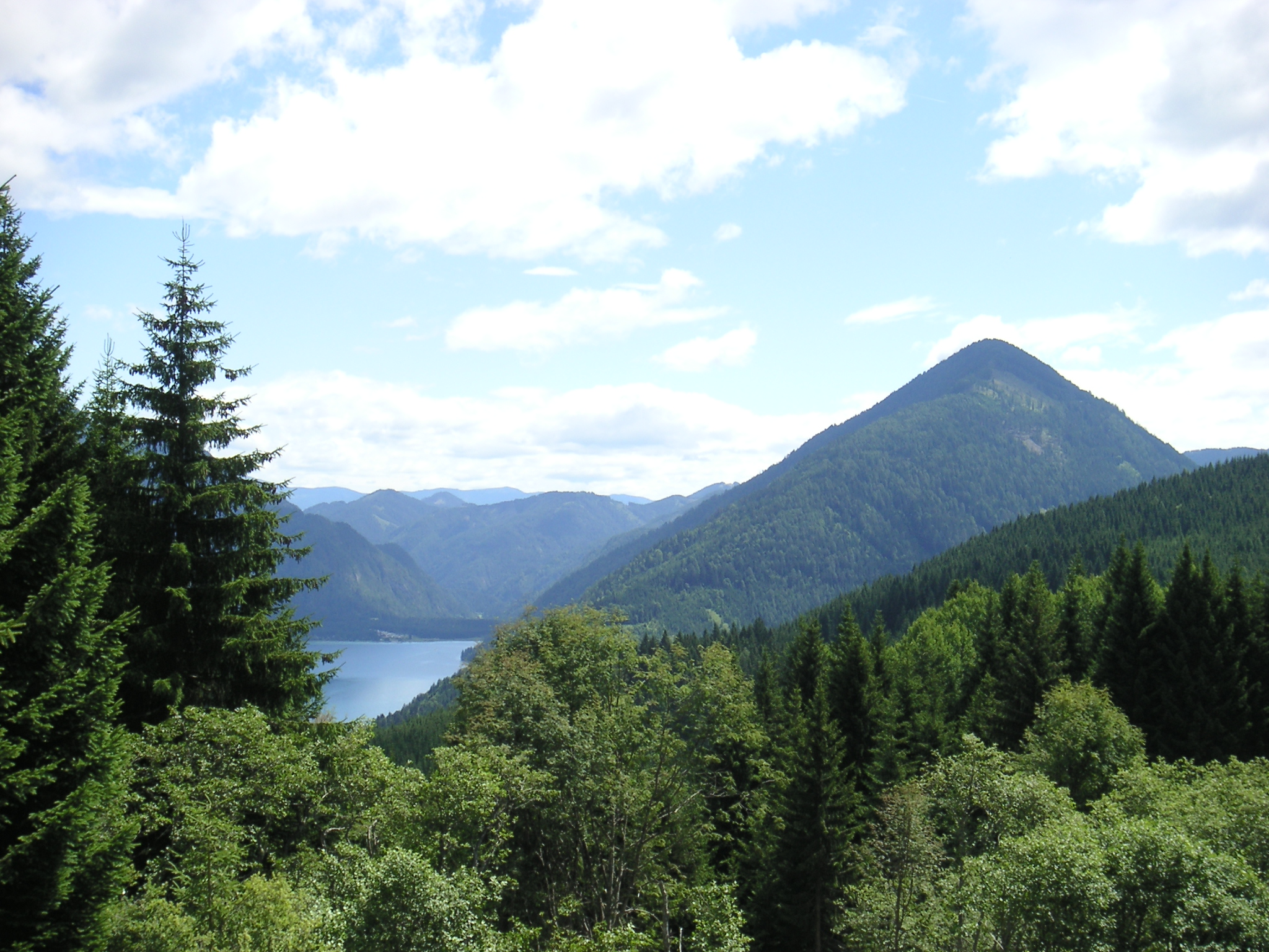
Mountain View

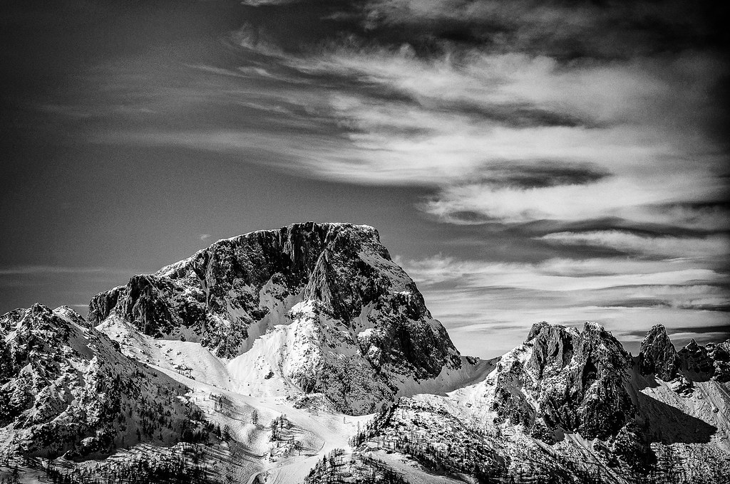
Alps I love

hdr_20130911_103837 Weissensee at Stampferhof
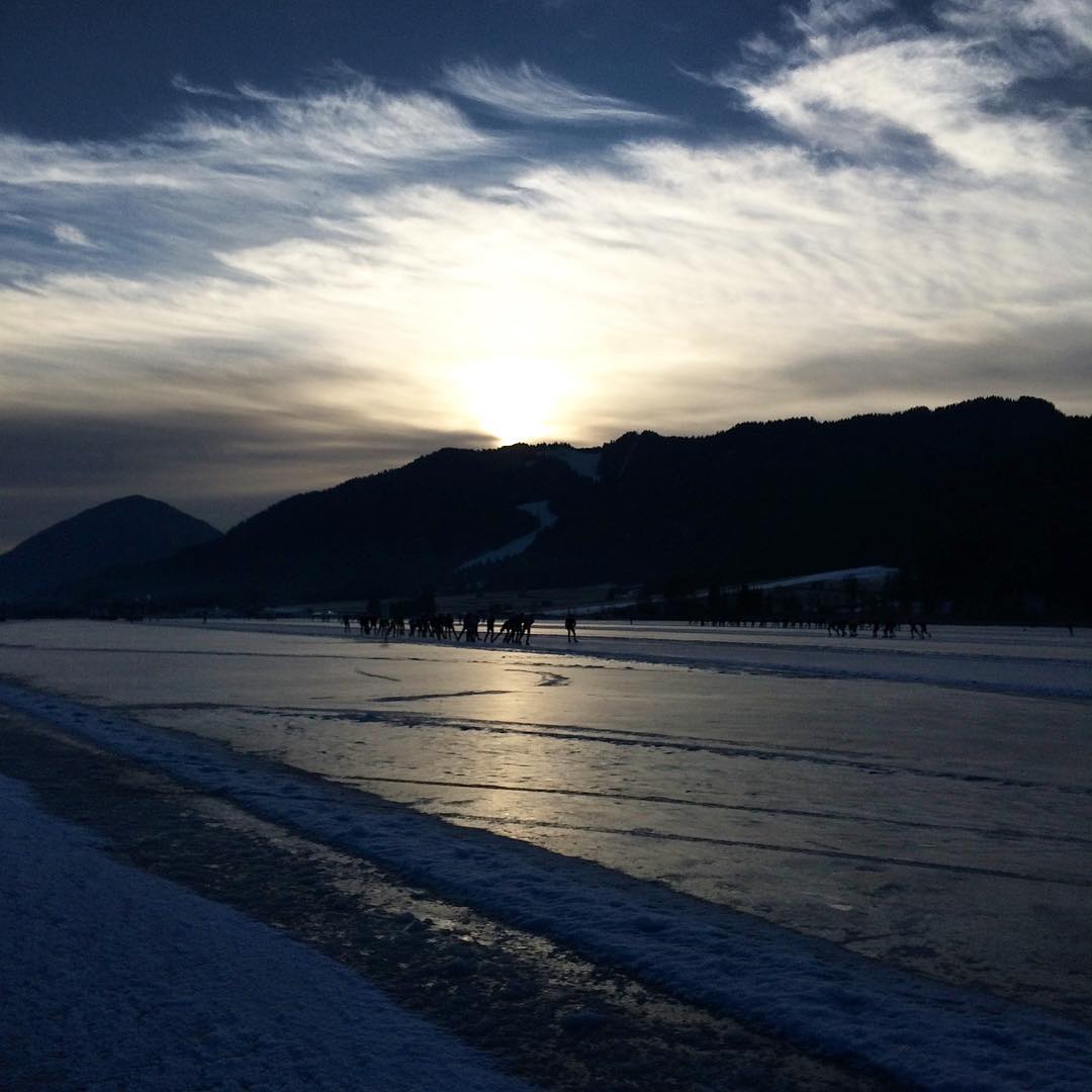
morning view
#weisensee morning view #sportismooi
View towards Ostufer
Topographic Map of Sonnleiten, Austria
Find elevation by address:

Places near Sonnleiten, Austria:
Hapimag Resort Sonnleitn
Sonnenalpe Nassfeld
Falkensteiner Hotel Sonnenalpe Nassfeld
Danz 3, Danz, Austria
Hermagor District
Hochwart 3, Hochwart, Austria
Hochwart
Località Costa, 1, Pontebba UD, Italy
Studena Alta
Frazione Studena Alta, 22, Studena Alta UD, Italy
Pontebba
Möderndorfer Alpe, Möderndorf, Austria
Gemeinde Hermagor-pressegger See
Stranig
Pietratagliata
Ciclovia Alpe Adria - Radweg, 71, Pontebba UD, Italy
Località Bevorchians, 5, Gallizis UD, Italy
Gallizis
Radnig 92
Riedergasse 3, Hermagor, Austria
Recent Searches:
- Elevation of Corso Fratelli Cairoli, 35, Macerata MC, Italy
- Elevation of Tallevast Rd, Sarasota, FL, USA
- Elevation of 4th St E, Sonoma, CA, USA
- Elevation of Black Hollow Rd, Pennsdale, PA, USA
- Elevation of Oakland Ave, Williamsport, PA, USA
- Elevation of Pedrógão Grande, Portugal
- Elevation of Klee Dr, Martinsburg, WV, USA
- Elevation of Via Roma, Pieranica CR, Italy
- Elevation of Tavkvetili Mountain, Georgia
- Elevation of Hartfords Bluff Cir, Mt Pleasant, SC, USA