Elevation of Solomont Way, Lowell, MA, USA
Location: United States > Massachusetts > Middlesex County > Lowell > The Acre >
Longitude: -71.335192
Latitude: 42.6424676
Elevation: 41m / 135feet
Barometric Pressure: 101KPa
Elevation Map:
Satellite Map:
Related Photos:
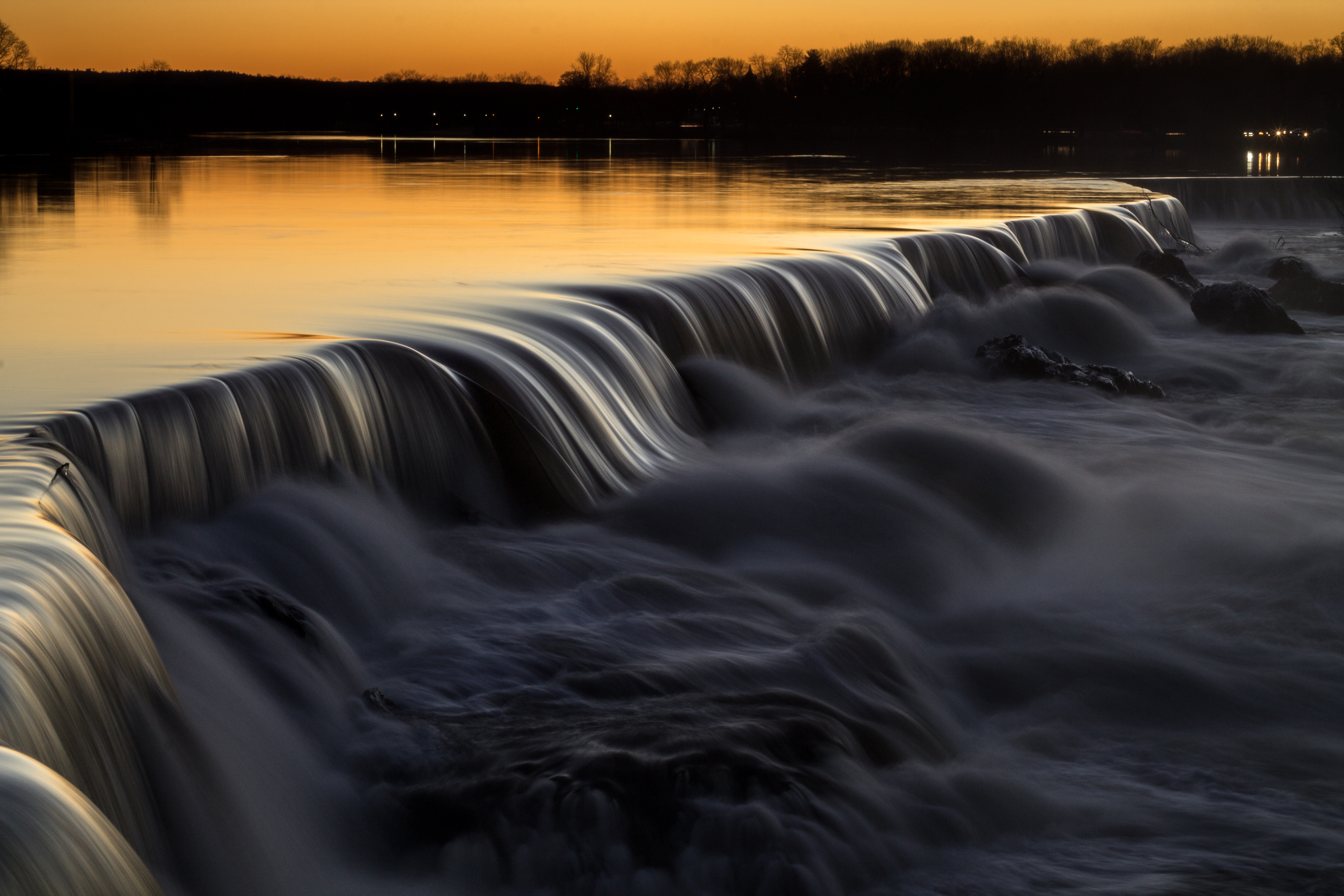
1/52 Pawtucket Falls
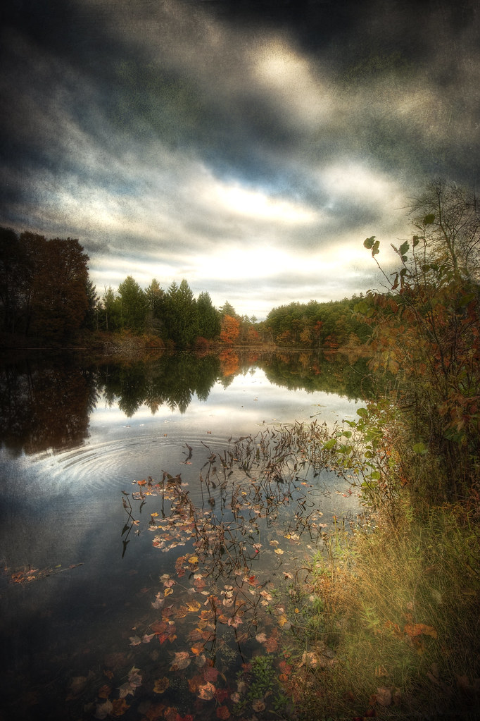
Dunstable Pond
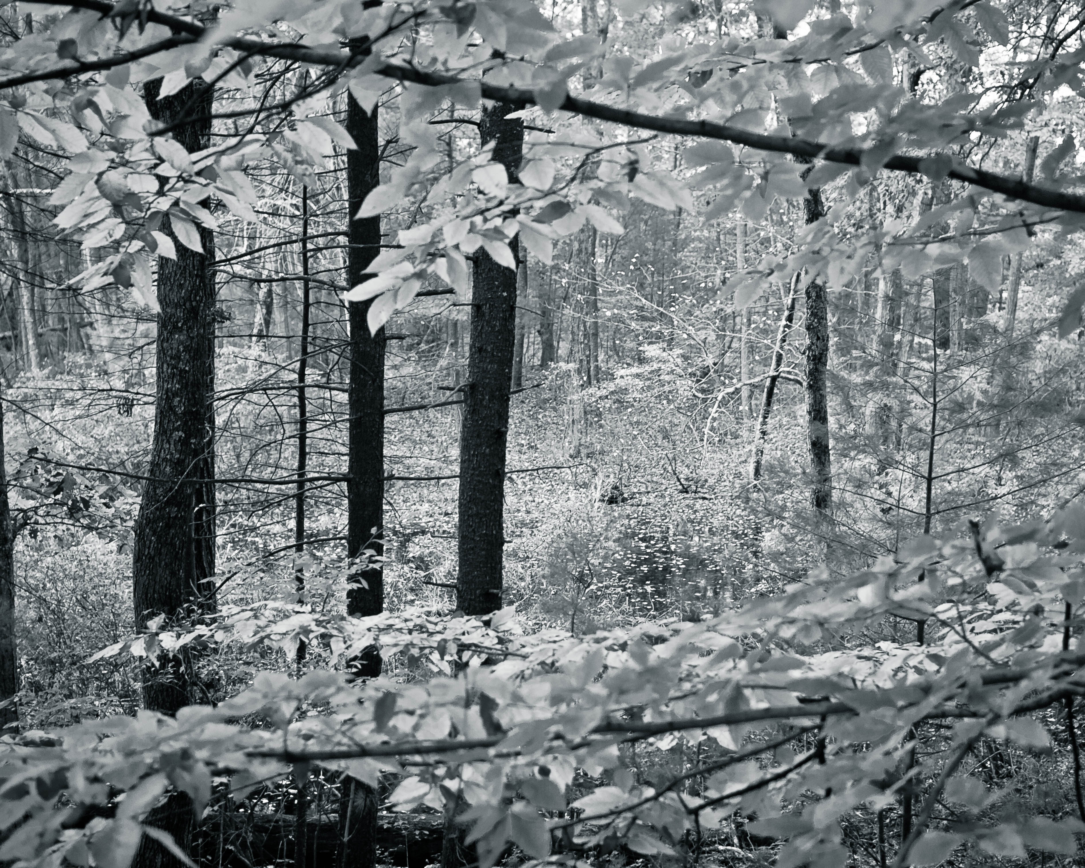
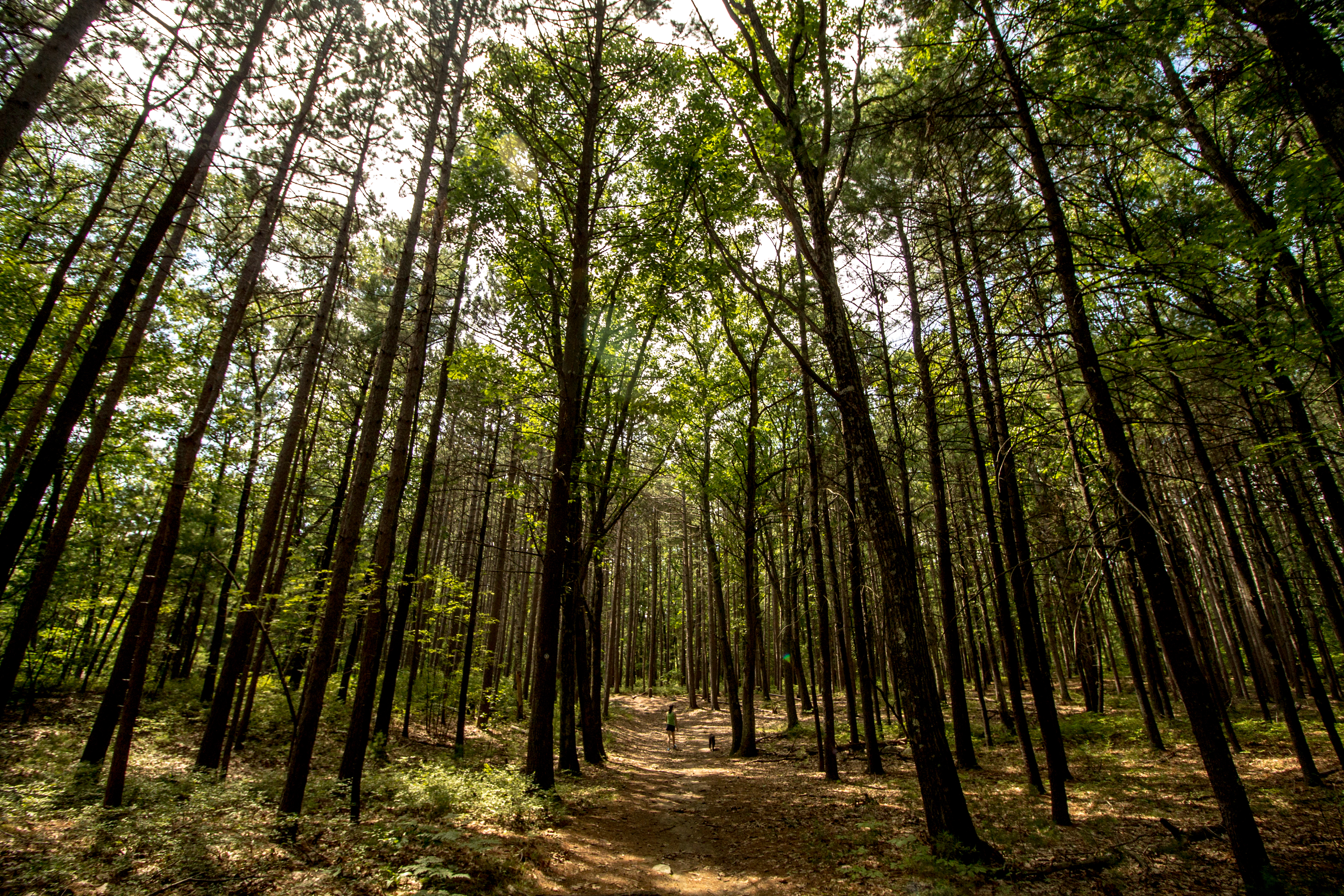
Into the Woods

The Sun & the Moon
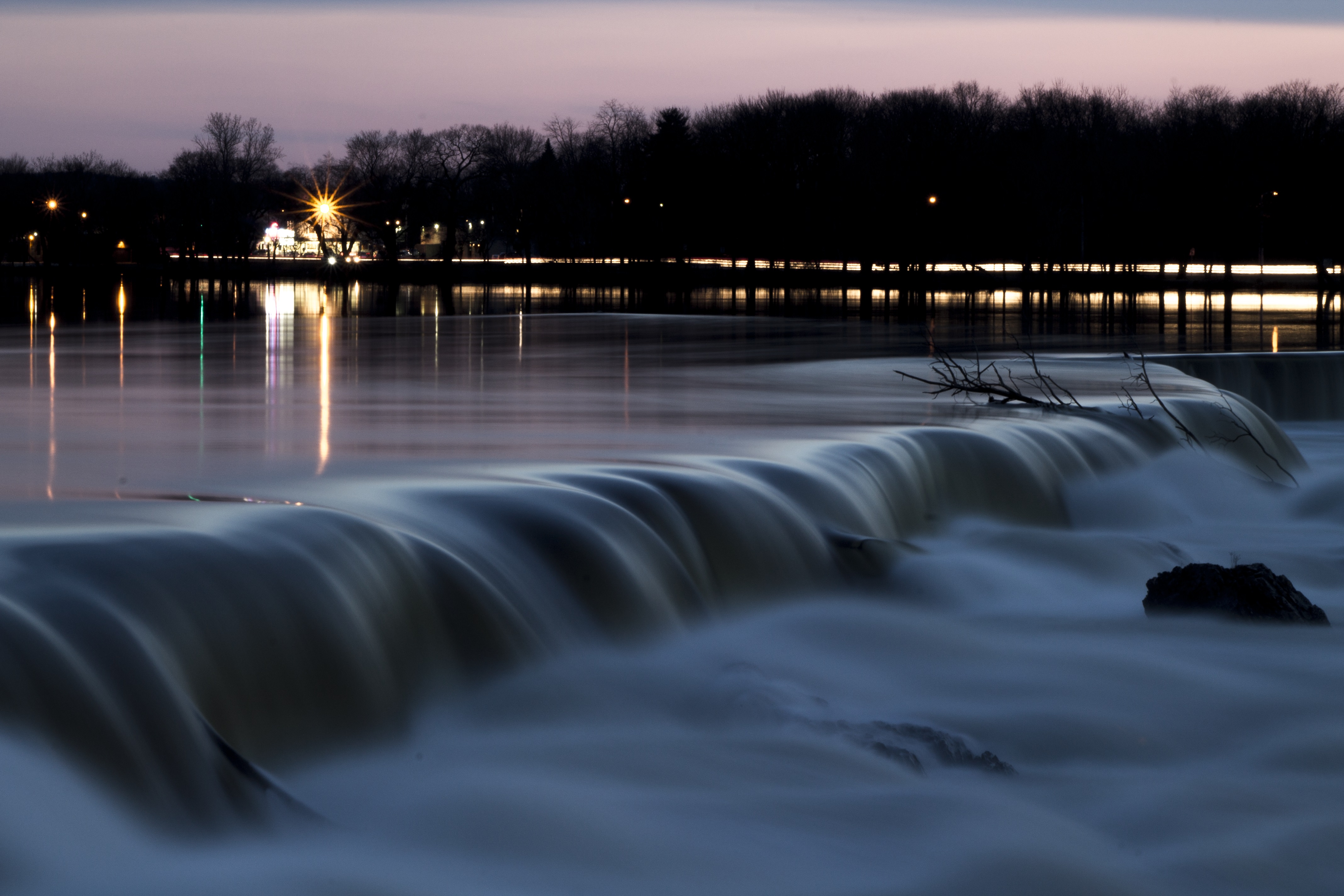
Lowell Waterfall

13/366
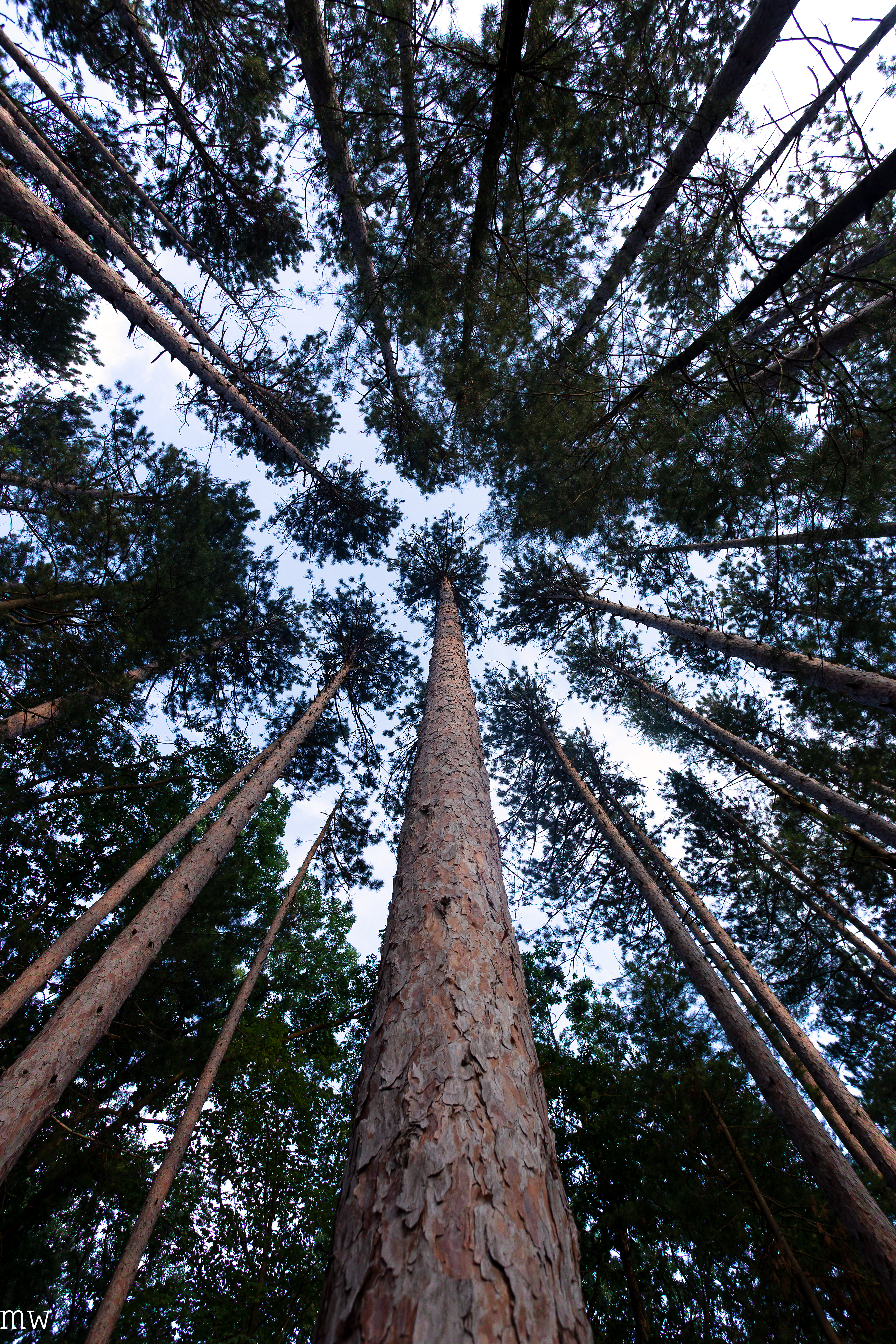
Red Pine

Boy Talk
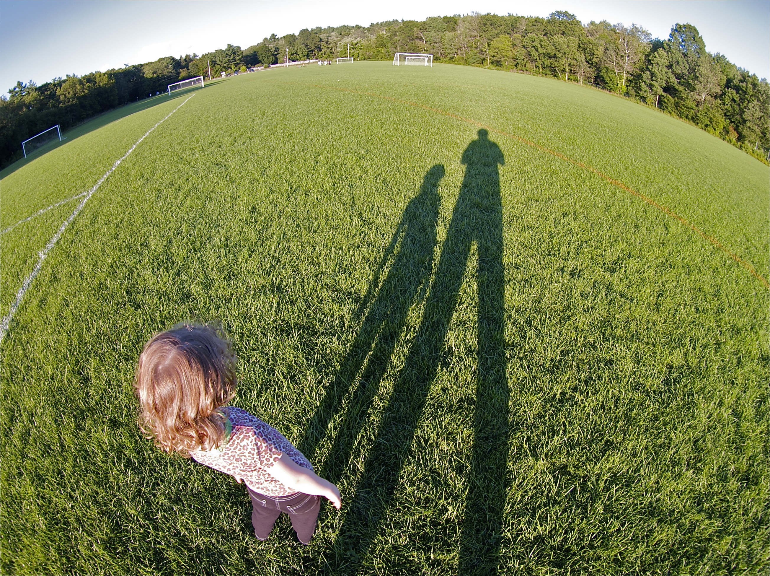
Fisheye view of the Jack Walsh Field

Aftermarket Rims for the W124

No Lifeguard on Duty

naboo starfighter completed
Merrimack Reflection 2
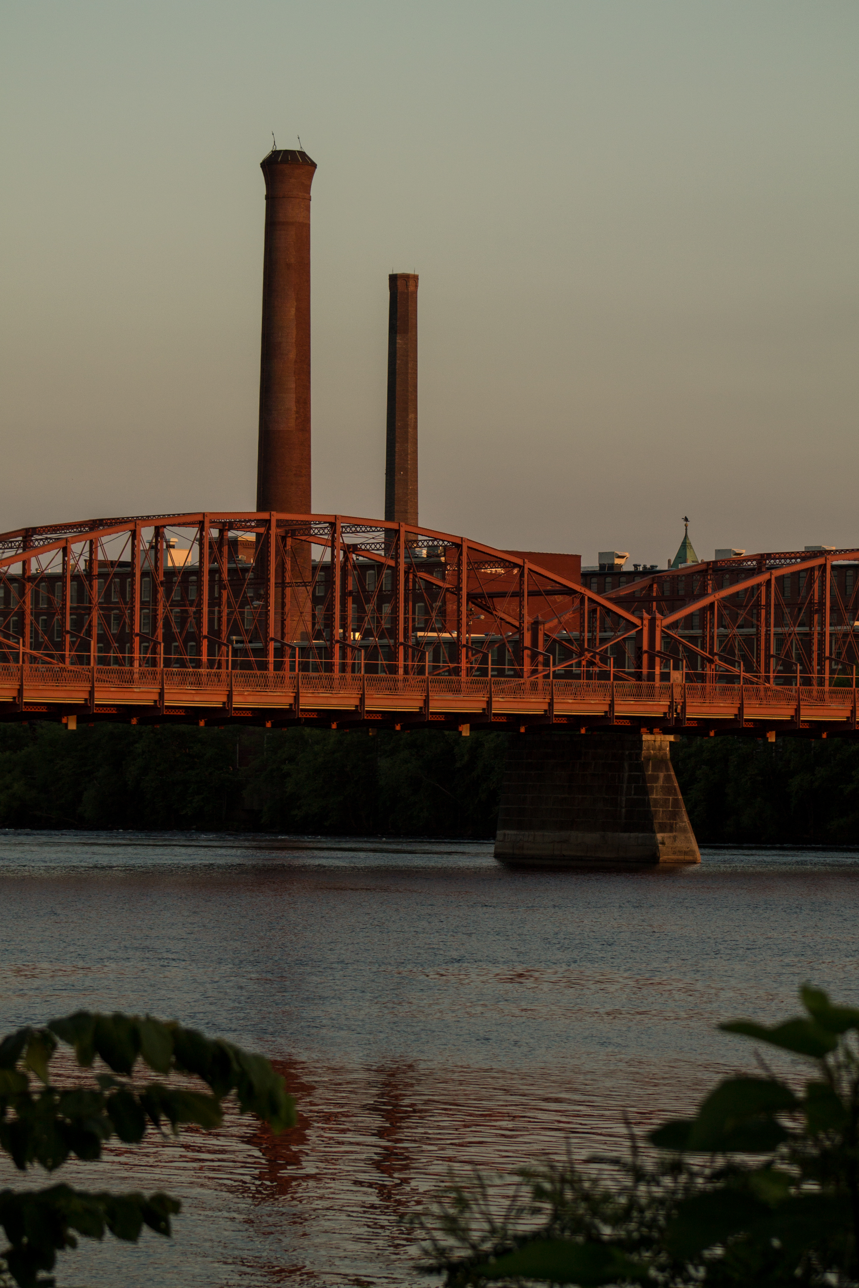
Aiken Bridge
Ed Harley

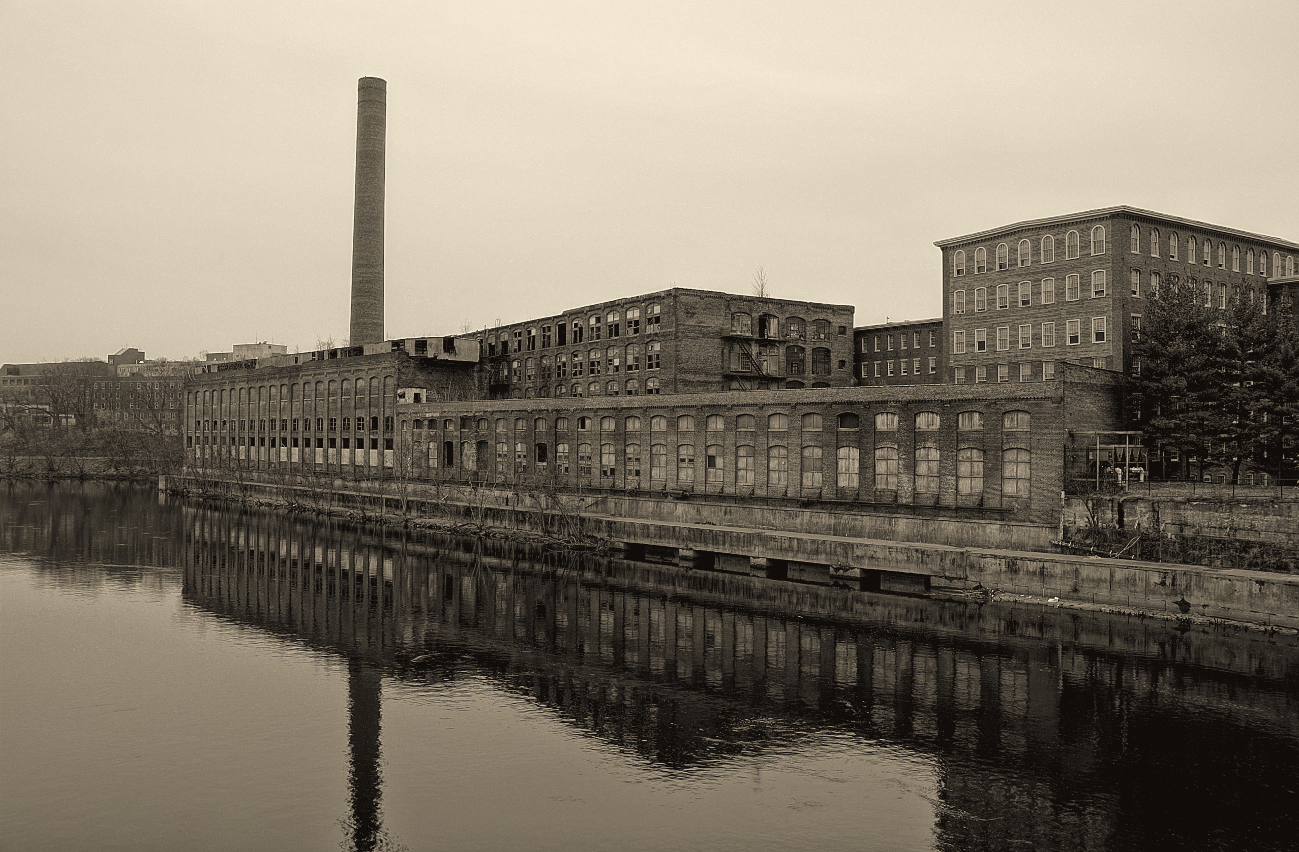
Under Belly

Warm Colors Versus Cool Hues
The Day Is Done
Sunset @ LGH ~ Nov. 10th, 2010

68/365

Sunday In Fall

Molly and Hannah Floating Leaves

A Happy New Year Sunset
The Beautiful Autumn...

Shawsheen River

Dusk in Tewksbury

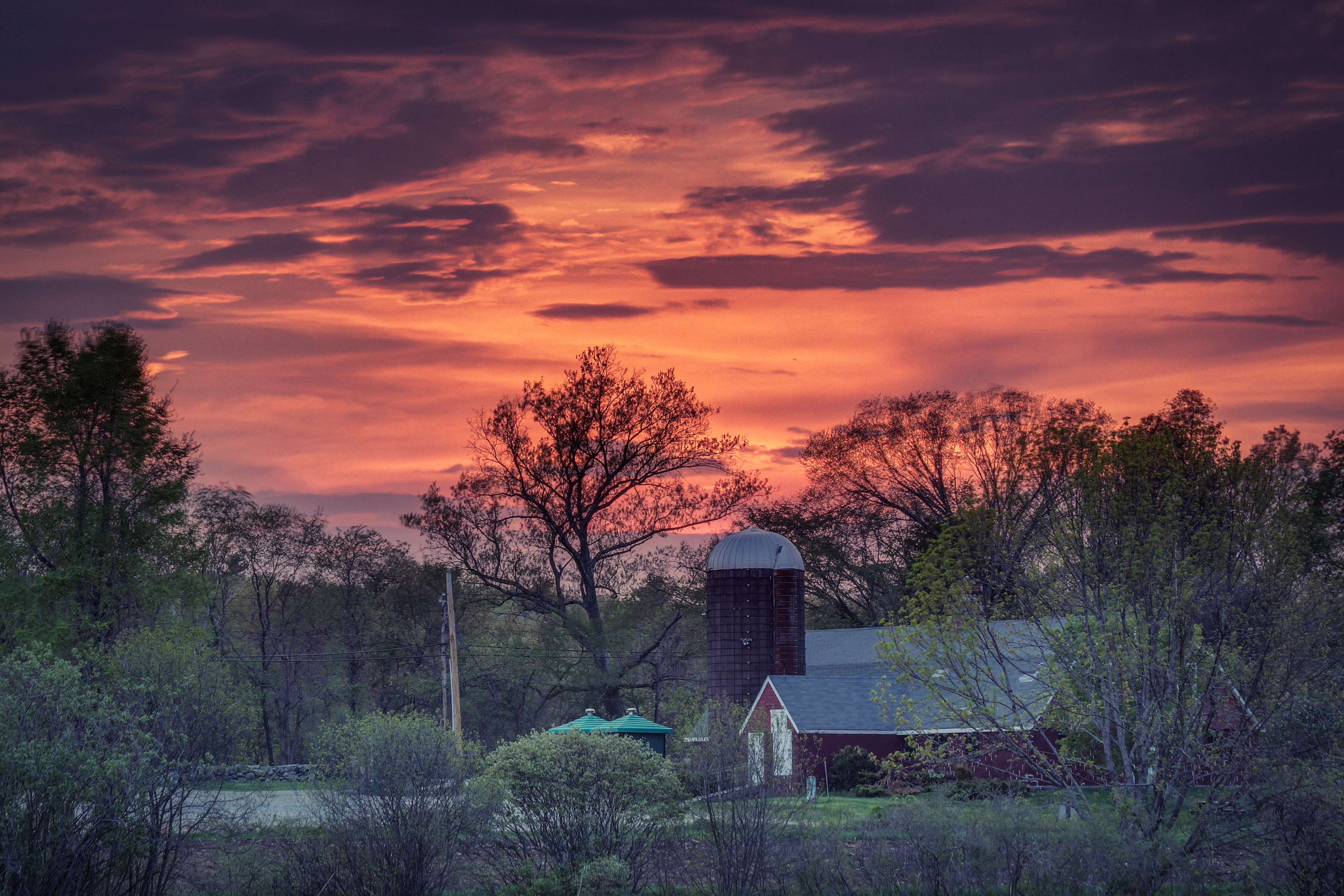
The Ryan Farm
Lowell-Dracut-Tyngsborough Forest
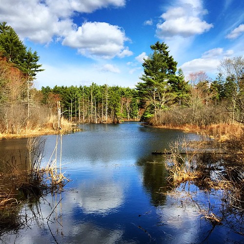
Reflections over Meadow Pond

Mill Pond, Shaw Conservation Area, Dunstable, Massachusetts

Don't forget to take in the moments, Another stunning sunset from #Stjohn #usvinice recently, #stjohnfun #travel #caribbean #hashtag
Great Brook Farm State Park
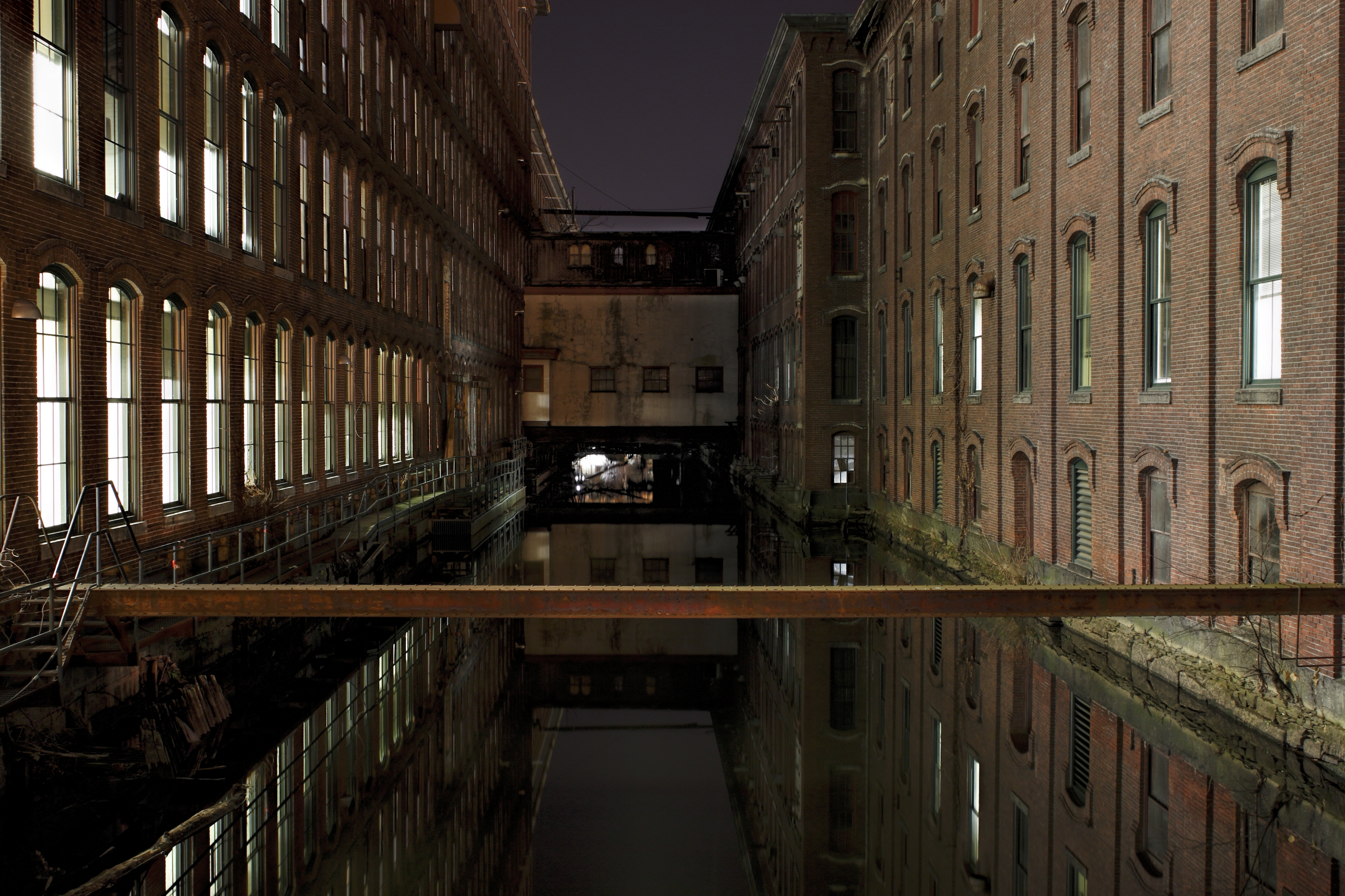
Lowell Canyon 2
A0nMRlyrSTy%uJjbb7BxDw

Sisters at Heart Pond - South Chelmsford
Day 17 - Tuesday, January 17th 2012
Topographic Map of Solomont Way, Lowell, MA, USA
Find elevation by address:

Places near Solomont Way, Lowell, MA, USA:
Mahoney Hall
100 Wilder St
Gage Avenue
9 Waterford St
37 School St
Lowell General Hospital
Cheryl Lee Lane
427 Wilder St
The Acre
Mammoth Road
Highlands
537 School St
Gage Street
26 Lura St
Sanders Avenue
Lincoln Parkway
Lincoln Parkway
100 Shaw St
365 W Meadow Rd
University Of Massachusetts Lowell
Recent Searches:
- Elevation of Groblershoop, South Africa
- Elevation of Power Generation Enterprises | Industrial Diesel Generators, Oak Ave, Canyon Country, CA, USA
- Elevation of Chesaw Rd, Oroville, WA, USA
- Elevation of N, Mt Pleasant, UT, USA
- Elevation of 6 Rue Jules Ferry, Beausoleil, France
- Elevation of Sattva Horizon, 4JC6+G9P, Vinayak Nagar, Kattigenahalli, Bengaluru, Karnataka, India
- Elevation of Great Brook Sports, Gold Star Hwy, Groton, CT, USA
- Elevation of 10 Mountain Laurels Dr, Nashua, NH, USA
- Elevation of 16 Gilboa Ln, Nashua, NH, USA
- Elevation of Laurel Rd, Townsend, TN, USA