Elevation map of Solo
Location: Argentina > Catamarca Province > Tinogasta Department > Copiapó >
Longitude: -68.733333
Latitude: -27.1
Elevation: 5184m / 17008feet
Barometric Pressure: 53KPa
Elevation Map:
Satellite Map:
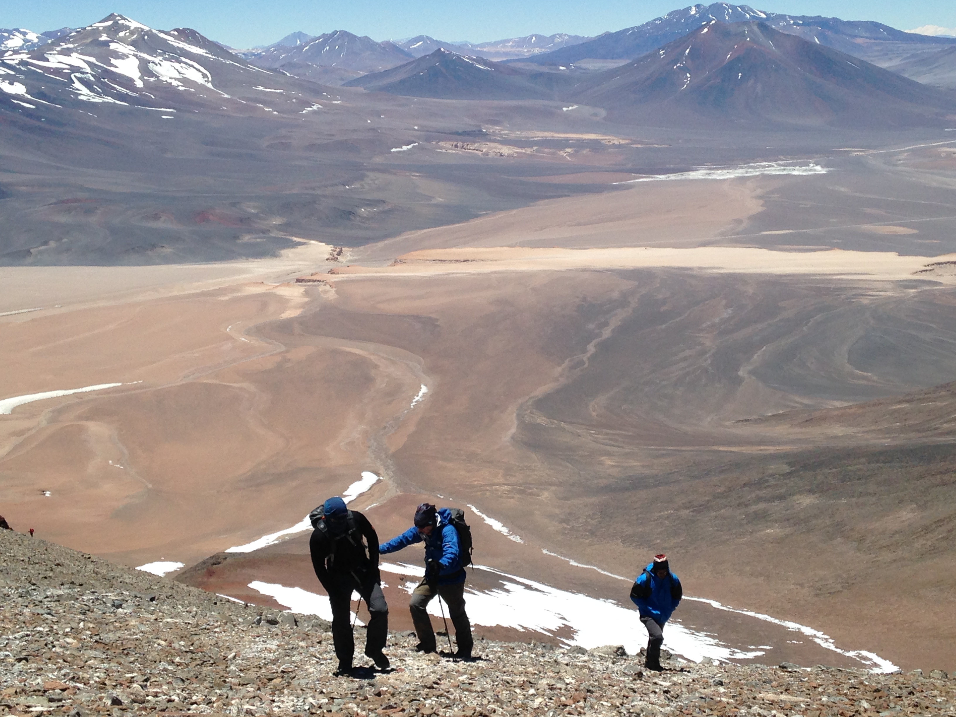
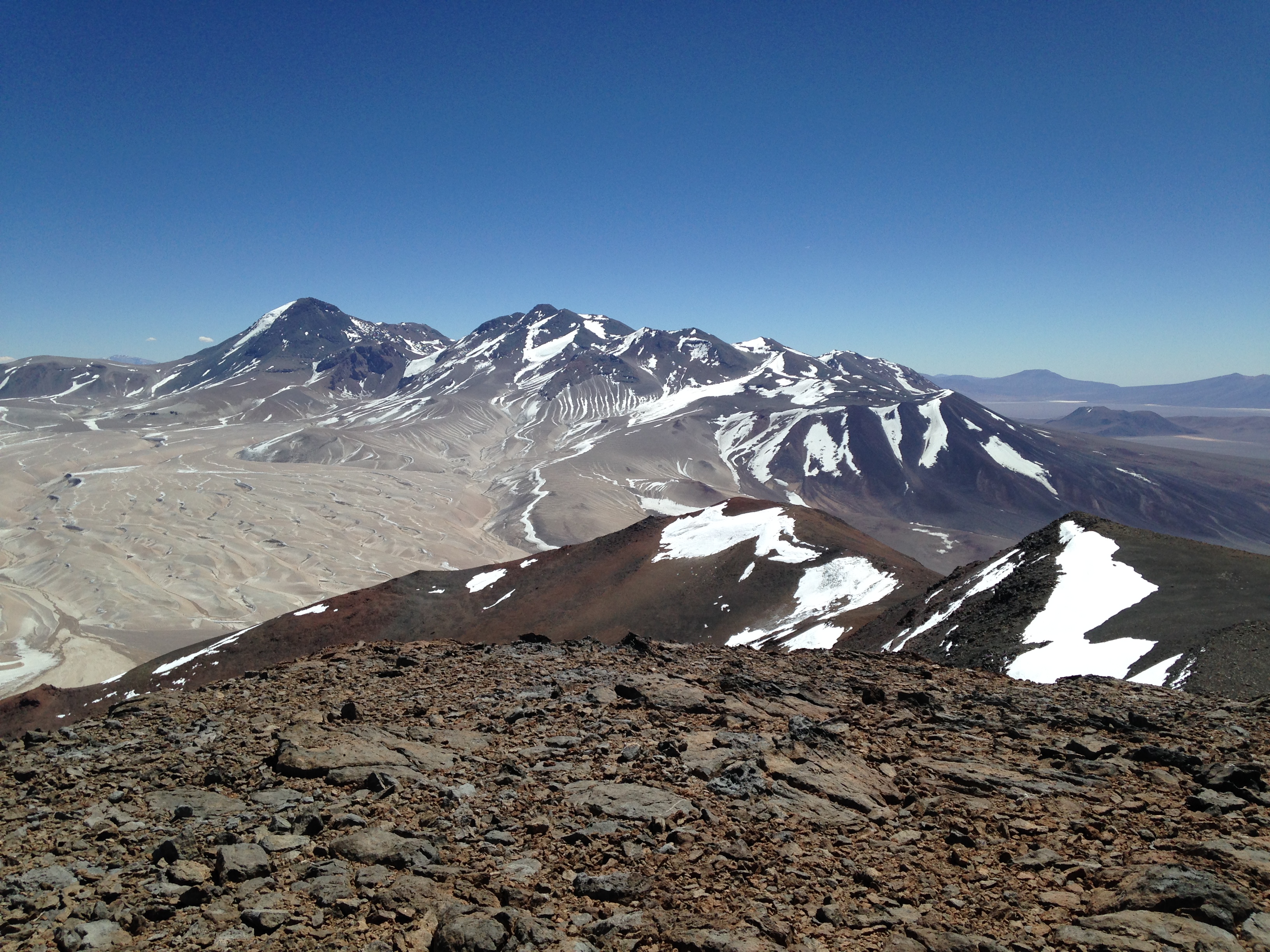
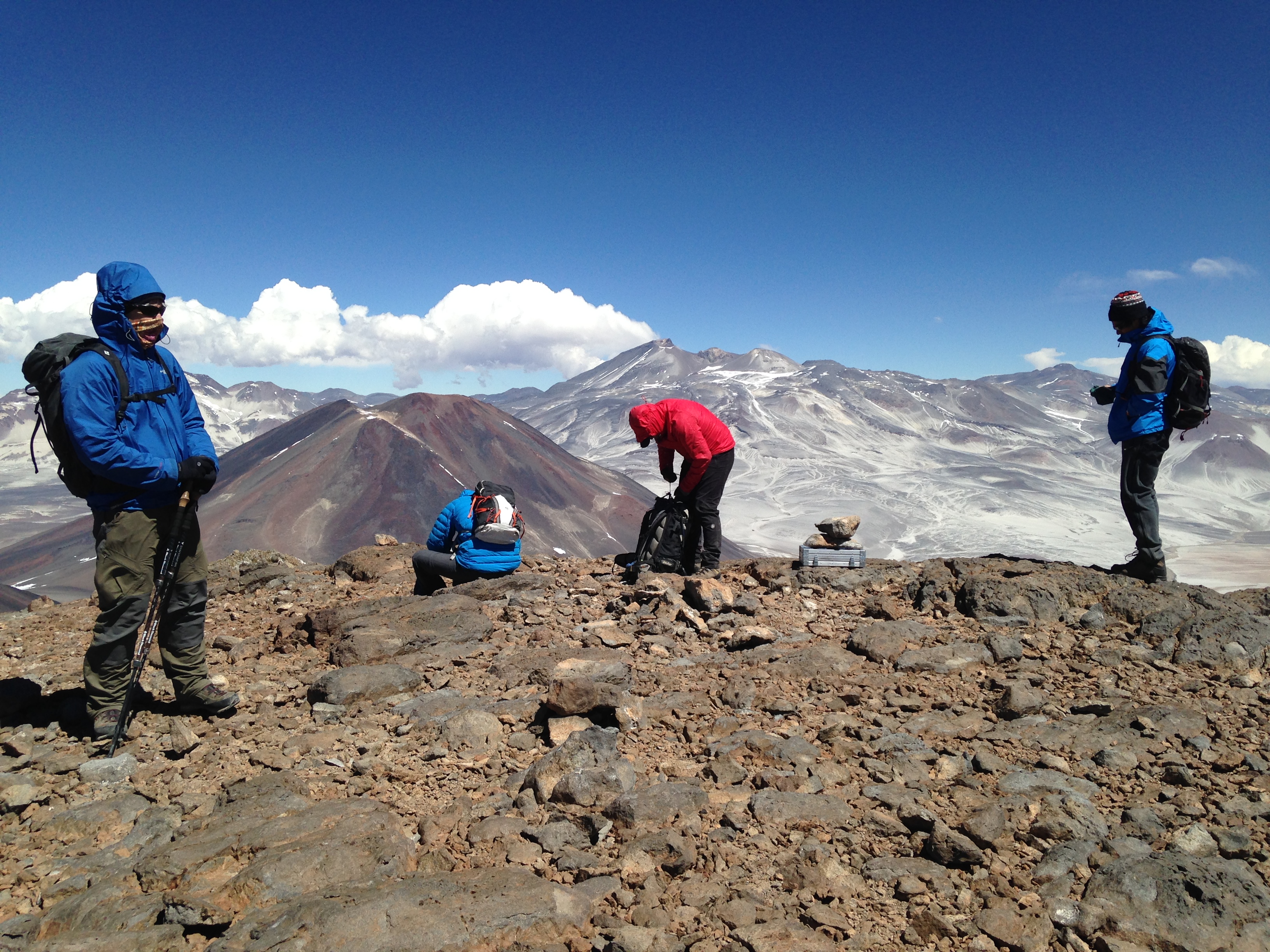
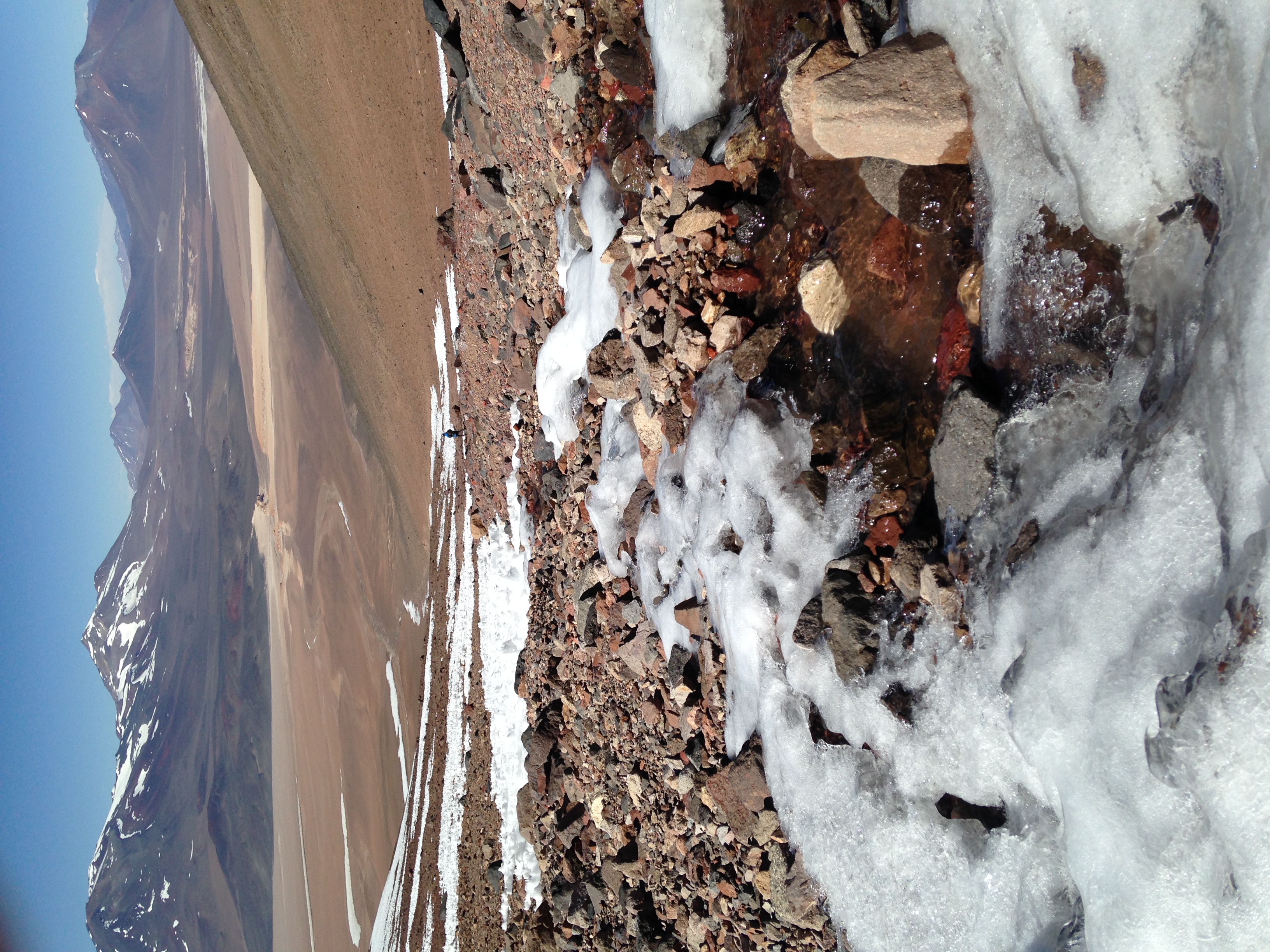
Related Photos:
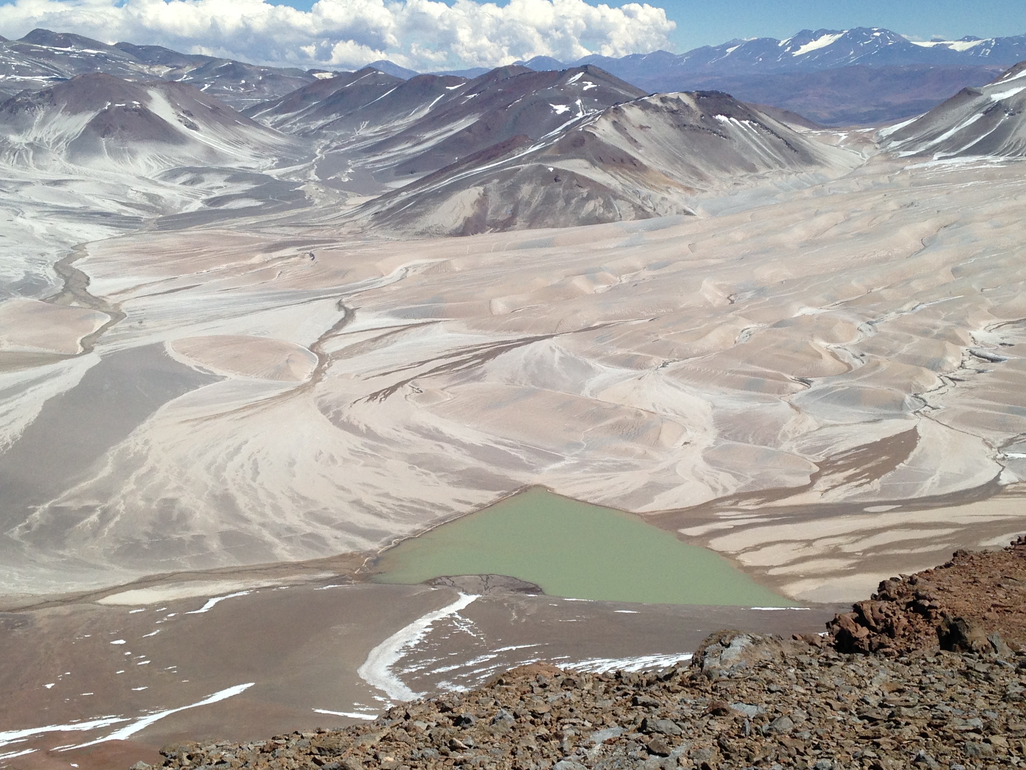
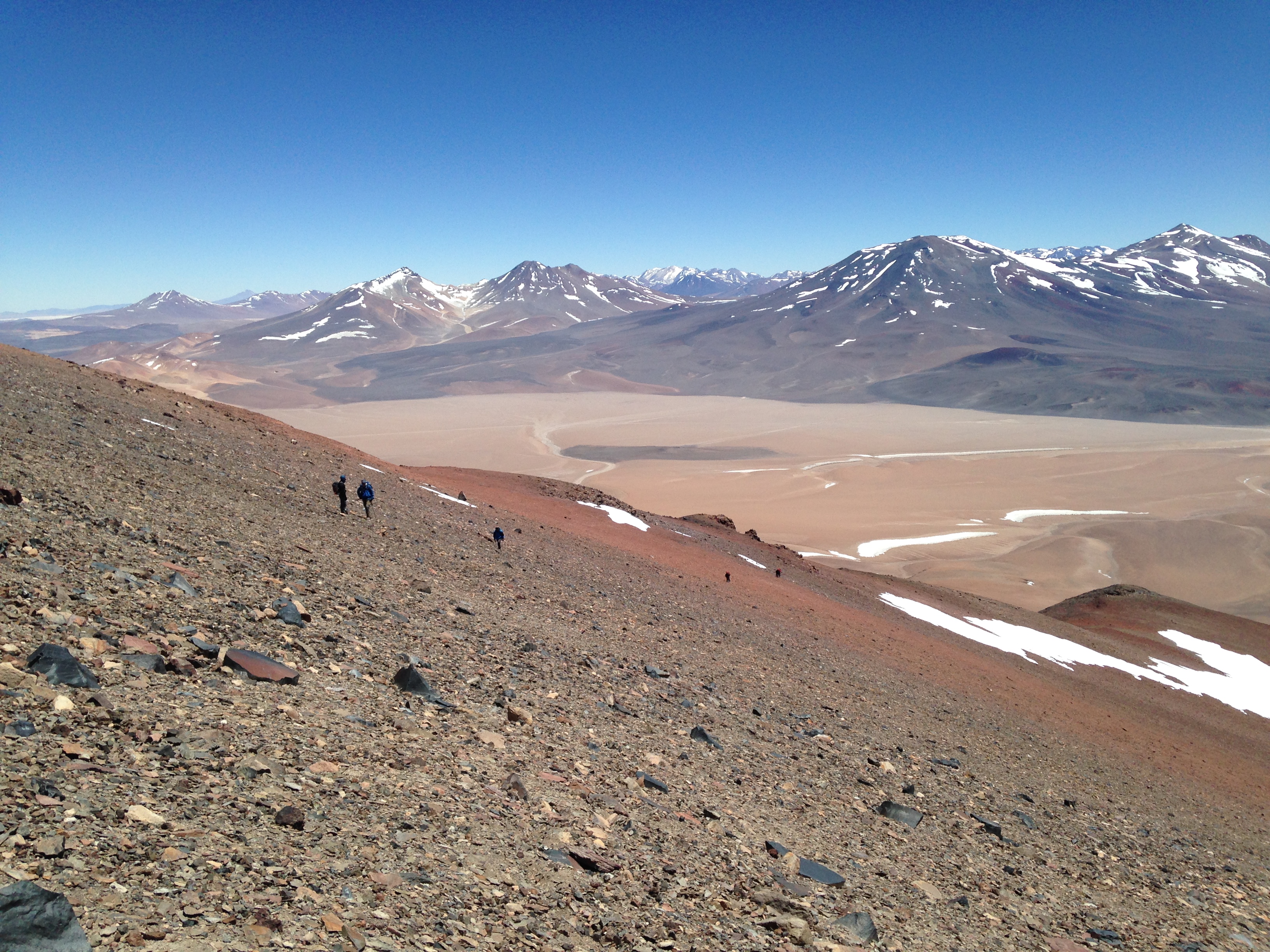
IMG_8227
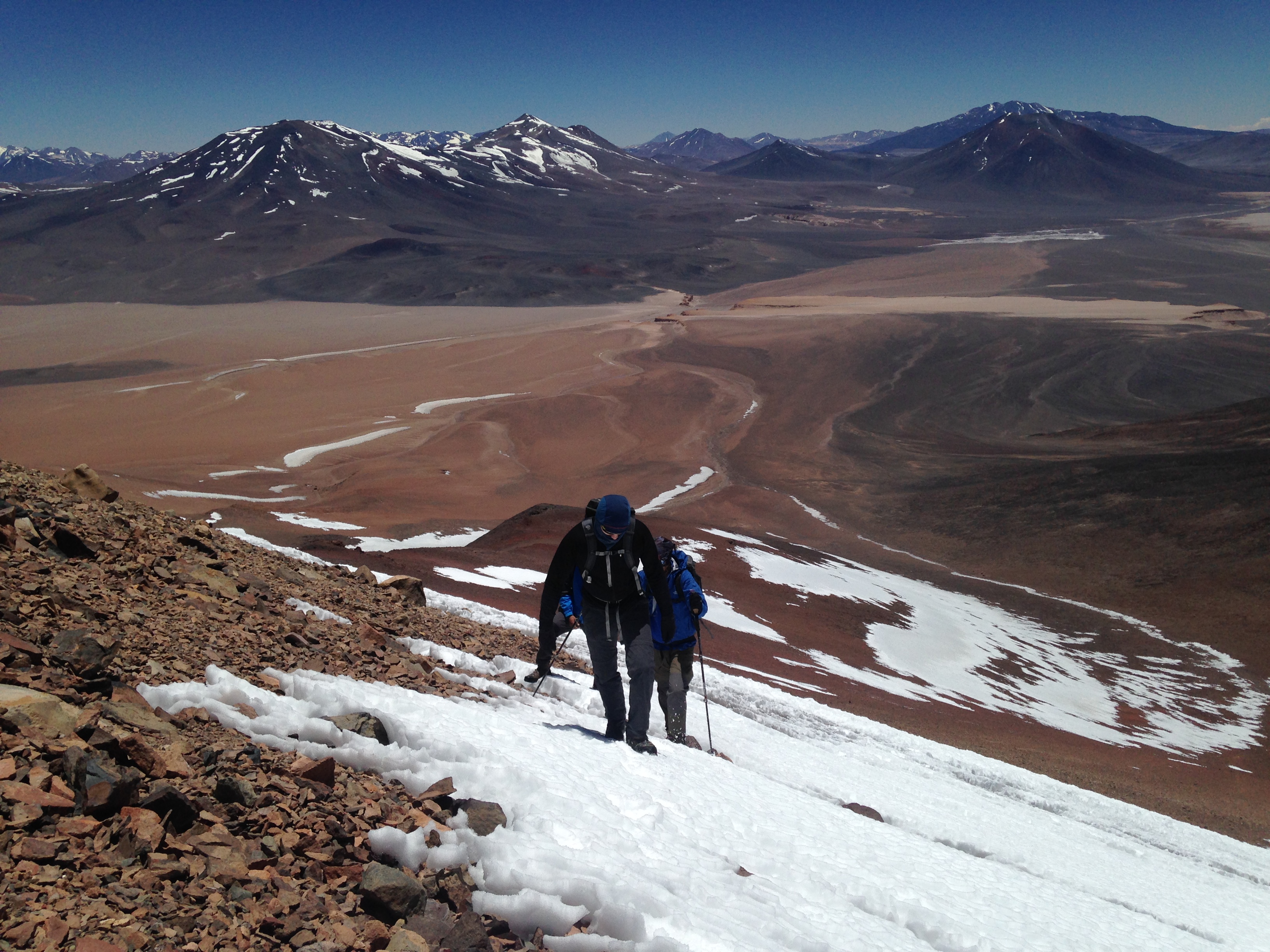
IMG_8189
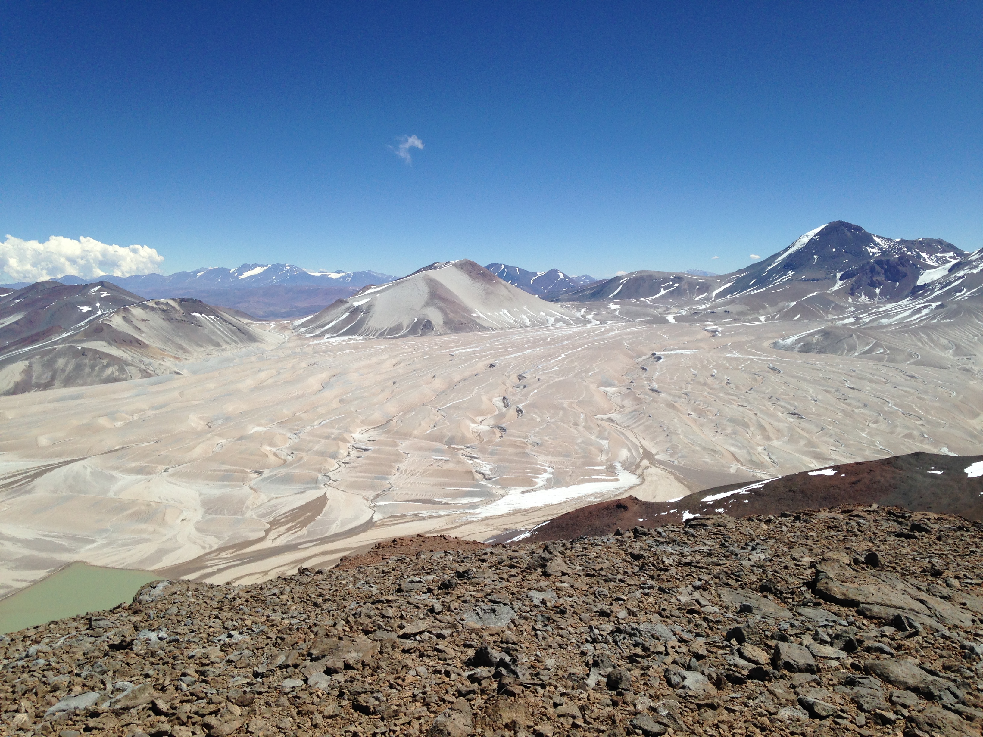
IMG_8223

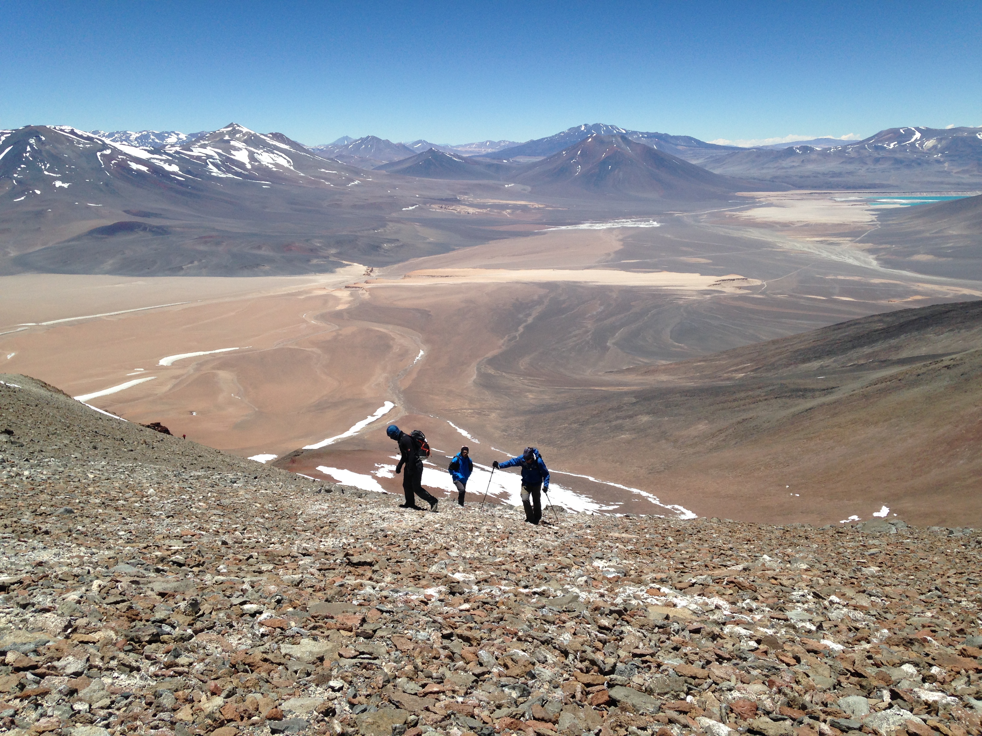
IMG_8222

IMG_8203
IMG_8195
IMG_8196
IMG_8224
IMG_8236
IMG_8243
IMG_8187
Topographic Map of Solo
Find elevation by address:

Places near Solo:
Ata
Ojos Del Salado
Tipas
Incahuasi
Valle De Chaschuil
Cortaderas
Tinogasta Department
Pres. Juan D. Perón, Tinogasta, Catamarca, Argentina
Recent Searches:
- Elevation of Corso Fratelli Cairoli, 35, Macerata MC, Italy
- Elevation of Tallevast Rd, Sarasota, FL, USA
- Elevation of 4th St E, Sonoma, CA, USA
- Elevation of Black Hollow Rd, Pennsdale, PA, USA
- Elevation of Oakland Ave, Williamsport, PA, USA
- Elevation of Pedrógão Grande, Portugal
- Elevation of Klee Dr, Martinsburg, WV, USA
- Elevation of Via Roma, Pieranica CR, Italy
- Elevation of Tavkvetili Mountain, Georgia
- Elevation of Hartfords Bluff Cir, Mt Pleasant, SC, USA