Elevation of Solano St, West Sacramento, CA, USA
Location: United States > California > Yolo County > West Sacramento >
Longitude: -121.54023
Latitude: 38.593359
Elevation: 8m / 26feet
Barometric Pressure: 101KPa
Elevation Map:
Satellite Map:
Related Photos:

Portrait of a Burrowing Owl

Cactus Flower

JennyJoyce _1077

Sutter's Fort Poppy

Sacramento at Night

Jenny-Joyce-Kiley_0838

Sacramento at Night

DJI_0139-HDR

SmokeyRed_4152-TheBand

SmokeyRed_4160-Donna

SmokeyRed-TheBand_4125

Michelle-Flowter_0943

Duck_No-Row_1148

Steam Power

Sacramento at Night
West Sac

Sacramento at Night

Blue on Blue

Flamingo Dancers

Maya-Mizz-Mayhem-Hall_0888

Big Air While The Band Plays 9662

Tower Bridge in Action

Sunflower patch in wheat

A Bit Foggy American River

Red Blaze of Glory

Sacramento, CA

American River - Sacramento

American River - Sacramento

American River - Sacramento

Sacramento, CA

corn in the moonlight

Euphorbia characias wulfenii 4002

Sacramento Sunset

Manitou Springs With Pike's Peak In The Distance

Sacramento from the air
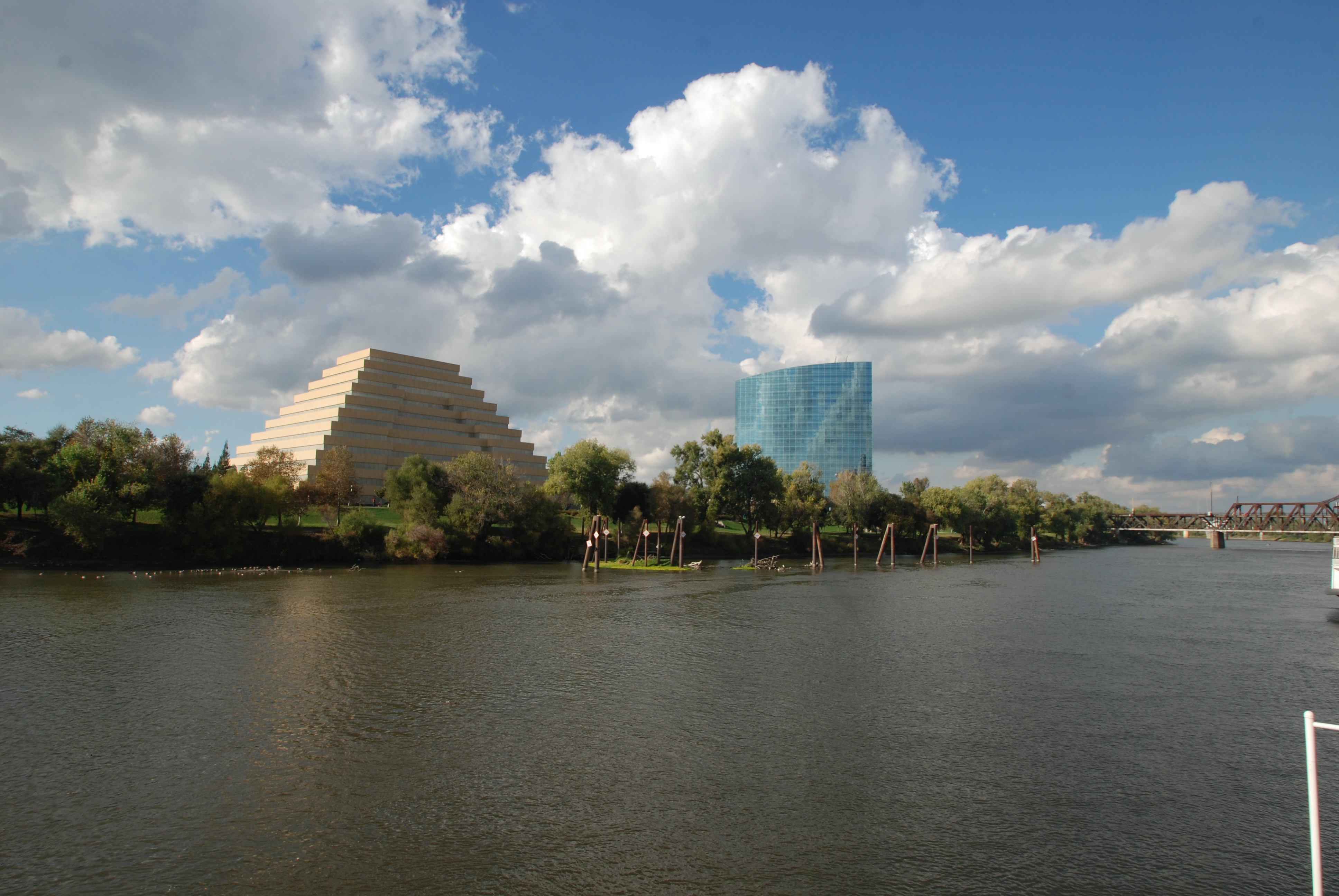
The Ziggurat, Edwin Kado 1997; CalTRS Headquarters, HOK Architects 2009

Sacramento from the air

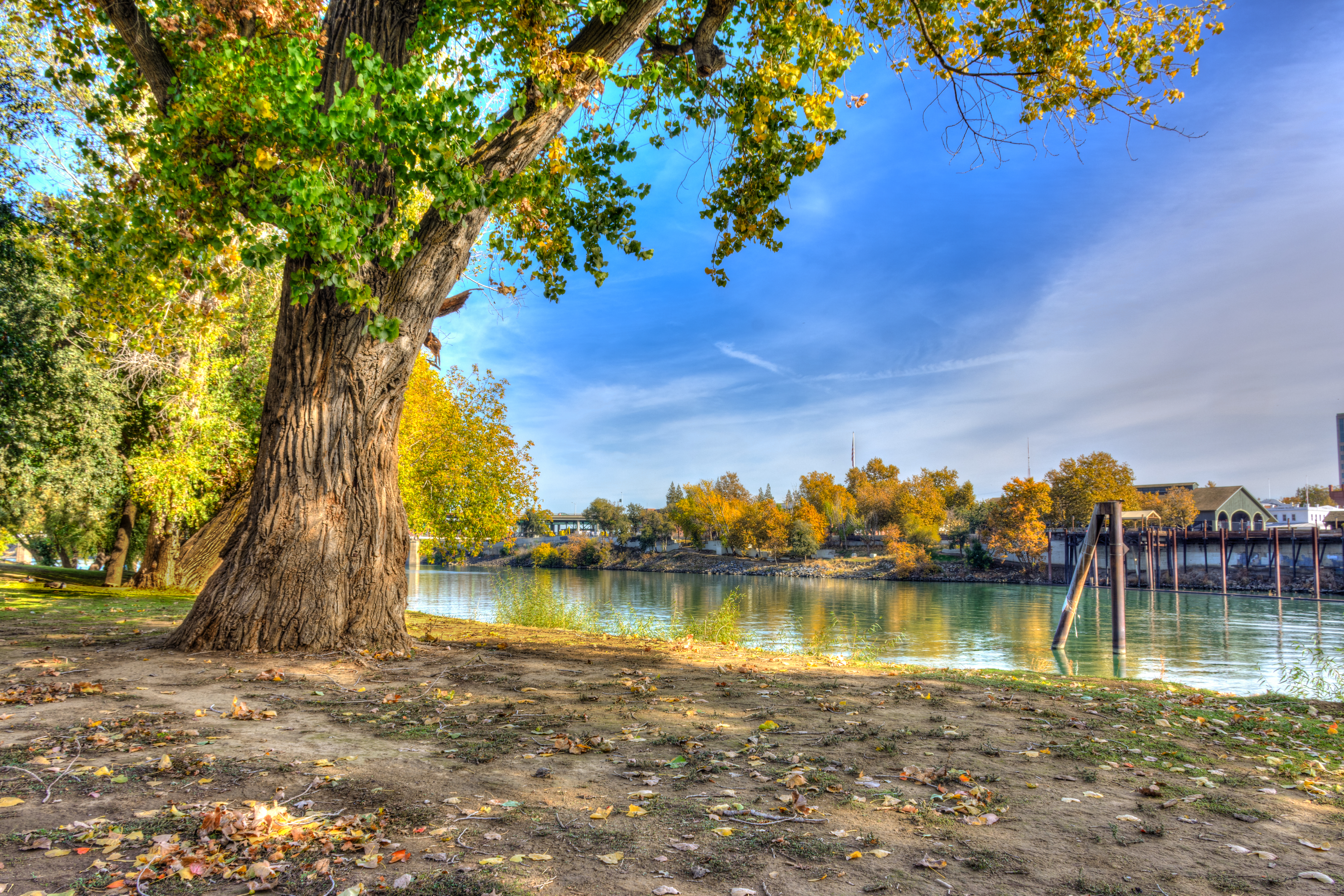
Autumn Landscape

American River - Sacramento

American River - Sacramento

"Hiking" through some redwoods
Topographic Map of Solano St, West Sacramento, CA, USA
Find elevation by address:

Places near Solano St, West Sacramento, CA, USA:
729 Yolo St
Solano St, West Sacramento, CA, USA
Yolo Street
600 Water St
605 Short St
605 Short St
506 Glide Ave
3348 Swallows Nest Ln
Willow Creek
West Sacramento
N Harbor Blvd, West Sacramento, CA, USA
3055 Swallows Nest Dr
1312 Meadow Rd
Claredon Street
3429 Evergreen Cir
Andrews St, West Sacramento, CA, USA
840 Riverside Pkwy
100 15th St
323 4th St
Mill Street
Recent Searches:
- Elevation of Martins Mill Ct, Eagle Rock, NC, USA
- Elevation of Kippen, Stirling FK8, UK
- Elevation of Sieveringer Straße, Sieveringer Str., Wien, Austria
- Elevation of Bratskaya Ulitsa, 24, Kurgan, Kurganskaya oblast', Russia
- Elevation of Paradisvegen, Biri, Norway
- Elevation of Crystal Cir, Birmingham, AL, USA
- Elevation of N Railroad Ave, West Palm Beach, FL, USA
- Elevation of 55 Cassick Valley Rd, Wellfleet, MA, USA
- Elevation of Ironwood Dr, Minden, NV, USA
- Elevation of 高尾山口駅, Takaomachi, Hachioji, Tokyo -, Japan