Elevation of Socorro Rd, Clint, TX, USA
Location: United States > Texas > El Paso County > Clint >
Longitude: -106.20049
Latitude: 31.5328212
Elevation: 1103m / 3619feet
Barometric Pressure: 89KPa
Elevation Map:
Satellite Map:
Related Photos:

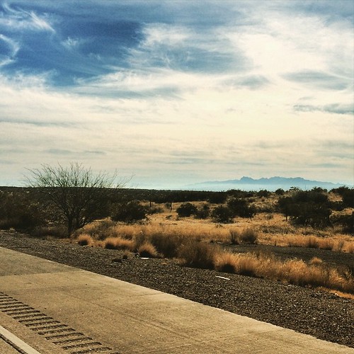
View from the Patio

Scoping the View
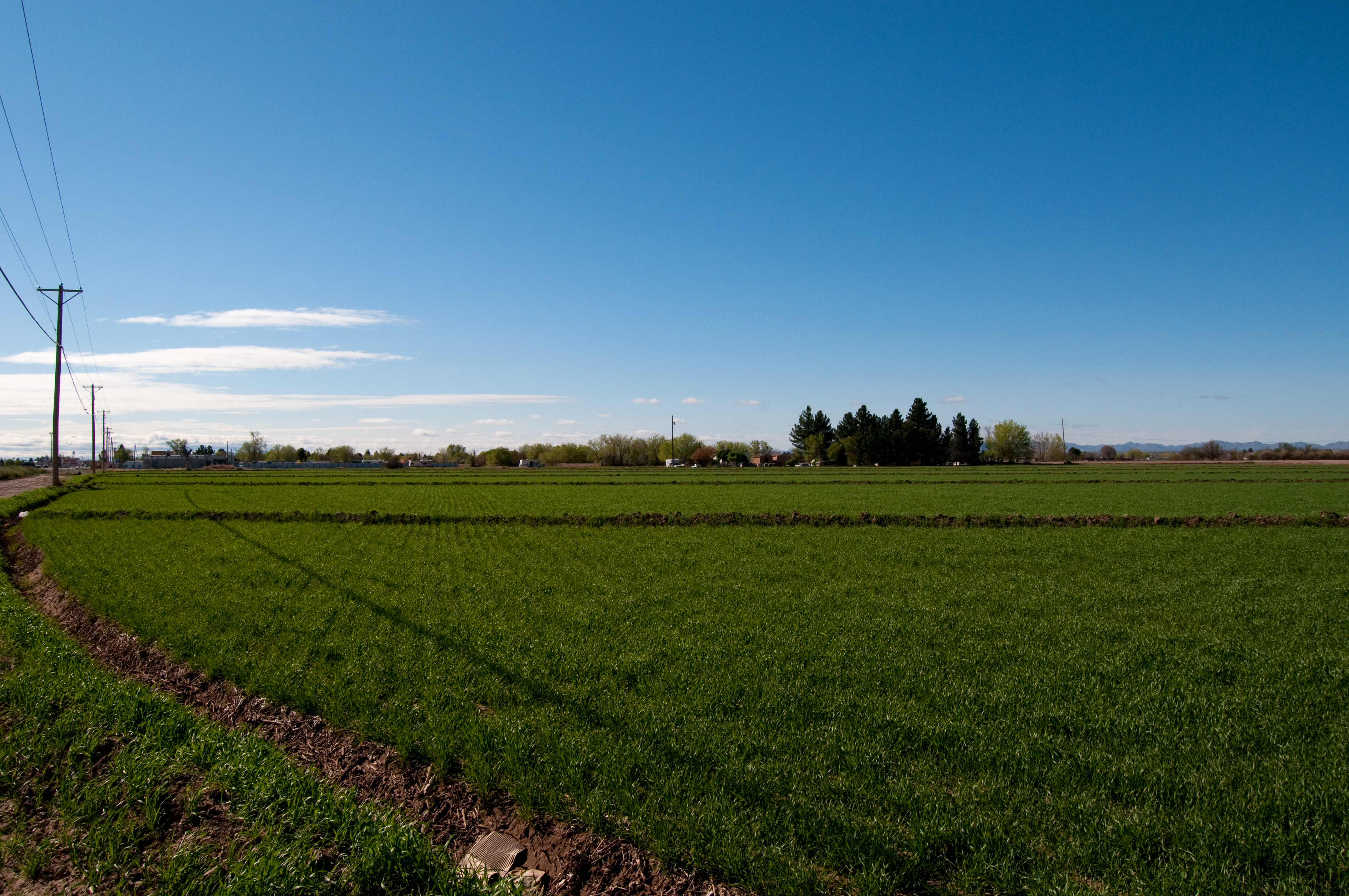
El Paso's Lower Valley
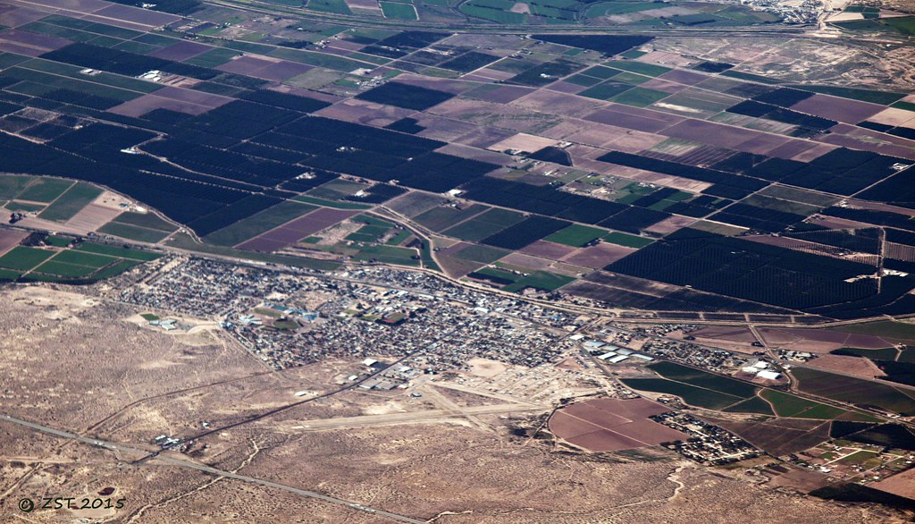
Fabens, TX
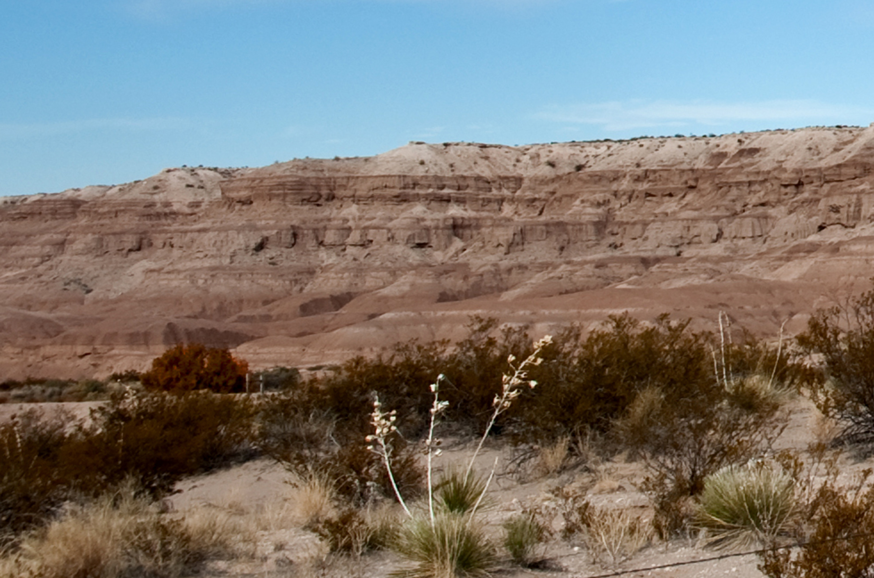
Indian Cliffs

#WestTexas #Vignette

COLOR GUARD

Just Passing By

HEARTS AND THORNS
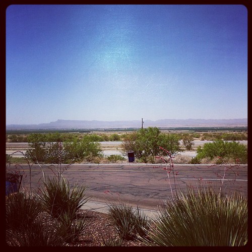
Almost in El Paso.

West 15

Racing the sun...

Walkin' the dog in Texas.
#TravelMyPlanet #landscape #cntraveler #travel #fun #sky #nature #LoveColorsOfNaure #FamilyTime @herrerafluis @mzblook @ruben_prado
Topographic Map of Socorro Rd, Clint, TX, USA
Find elevation by address:

Places near Socorro Rd, Clint, TX, USA:
Connington St, Clint, TX, USA
Fabens
112 E
121 7th St
Clint
1050 Chicken Ranch Rd
Darrington Rd, El Paso, TX, USA
Barrial Rd, San Elizario, TX, USA
San Elizario
Barnhart Dr, Socorro, TX, USA
Calle Dr Porfirio Parra, Guadalupe Bravos, Chih., Mexico
Bazareno Street
Cattleman's Steakhouse At Indian Cliffs Ranch
Tornillo
13953 Lago Vista Ave
Sgt Jose Gonsales
Socorro
317 Emerald Rise Dr
317 Emerald Rise Dr
317 Emerald Rise Dr
Recent Searches:
- Elevation of Corso Fratelli Cairoli, 35, Macerata MC, Italy
- Elevation of Tallevast Rd, Sarasota, FL, USA
- Elevation of 4th St E, Sonoma, CA, USA
- Elevation of Black Hollow Rd, Pennsdale, PA, USA
- Elevation of Oakland Ave, Williamsport, PA, USA
- Elevation of Pedrógão Grande, Portugal
- Elevation of Klee Dr, Martinsburg, WV, USA
- Elevation of Via Roma, Pieranica CR, Italy
- Elevation of Tavkvetili Mountain, Georgia
- Elevation of Hartfords Bluff Cir, Mt Pleasant, SC, USA