Elevation of Snowbird Creek, Cheoah, NC, USA
Location: United States > North Carolina > Graham County > Cheoah > Robbinsville >
Longitude: -83.845733
Latitude: 35.3423095
Elevation: 589m / 1932feet
Barometric Pressure: 94KPa
Elevation Map:
Satellite Map:
Related Photos:
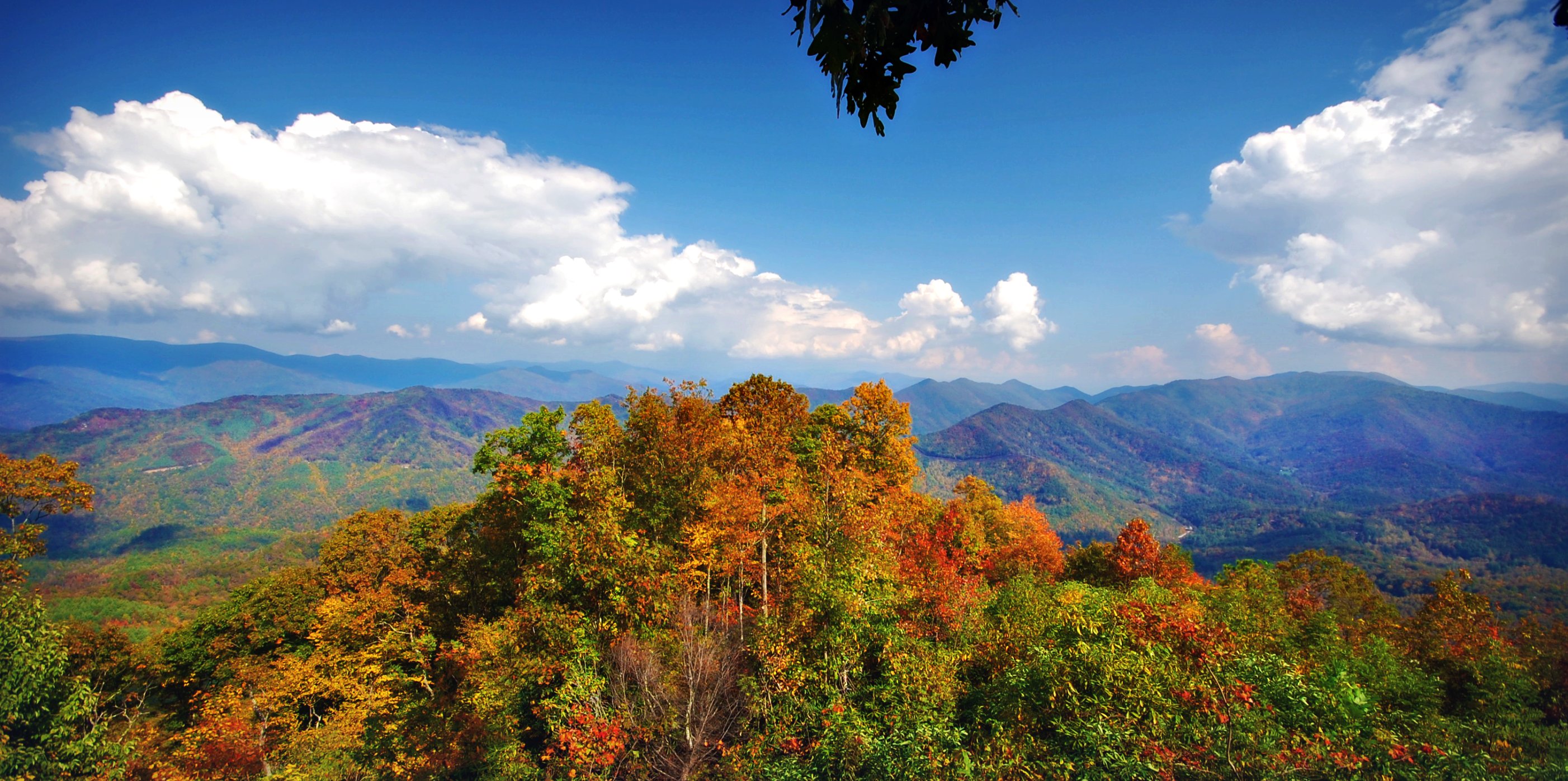
Back to the Smokies in 33 days and counting
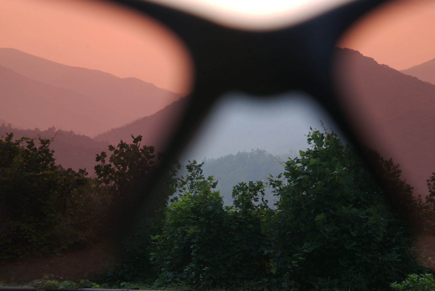
rosy filter
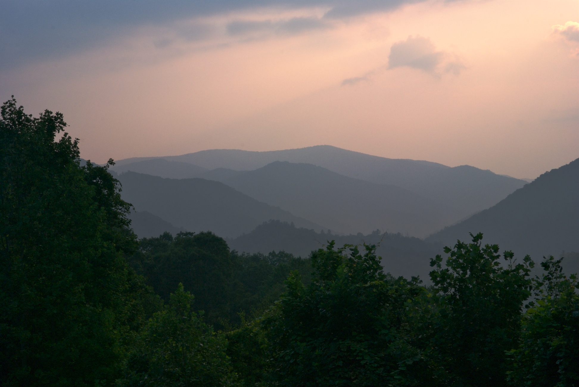
i was up above it
Cherohala Skyway
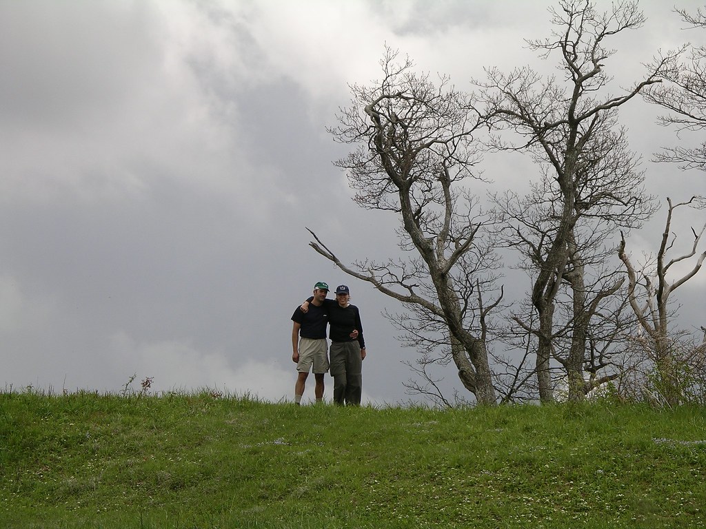
Mike and Amber on Sratton Bald
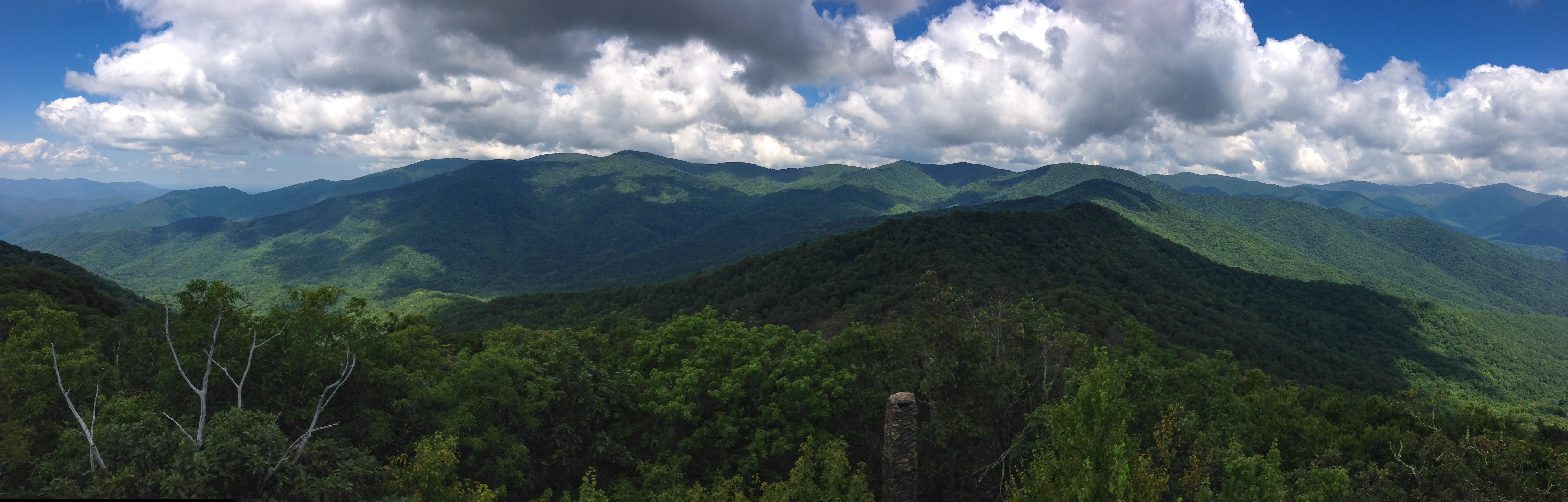
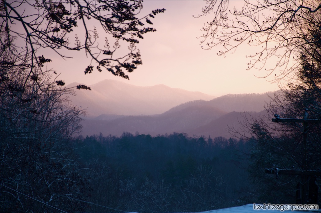
Stormy Smokeys
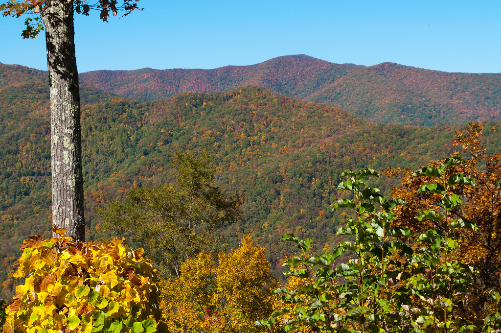
smoky mountains
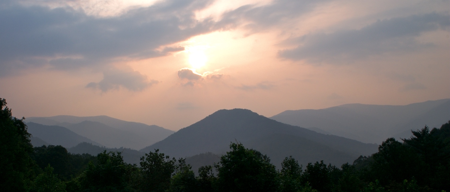
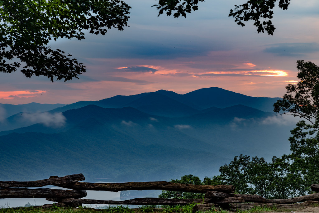
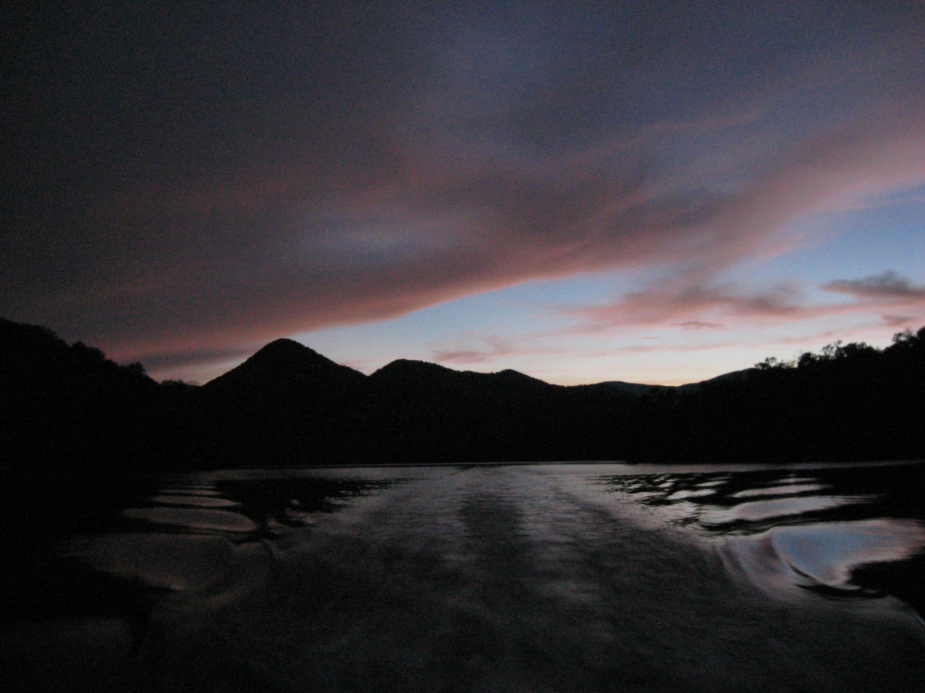
Sunset by the Dragon
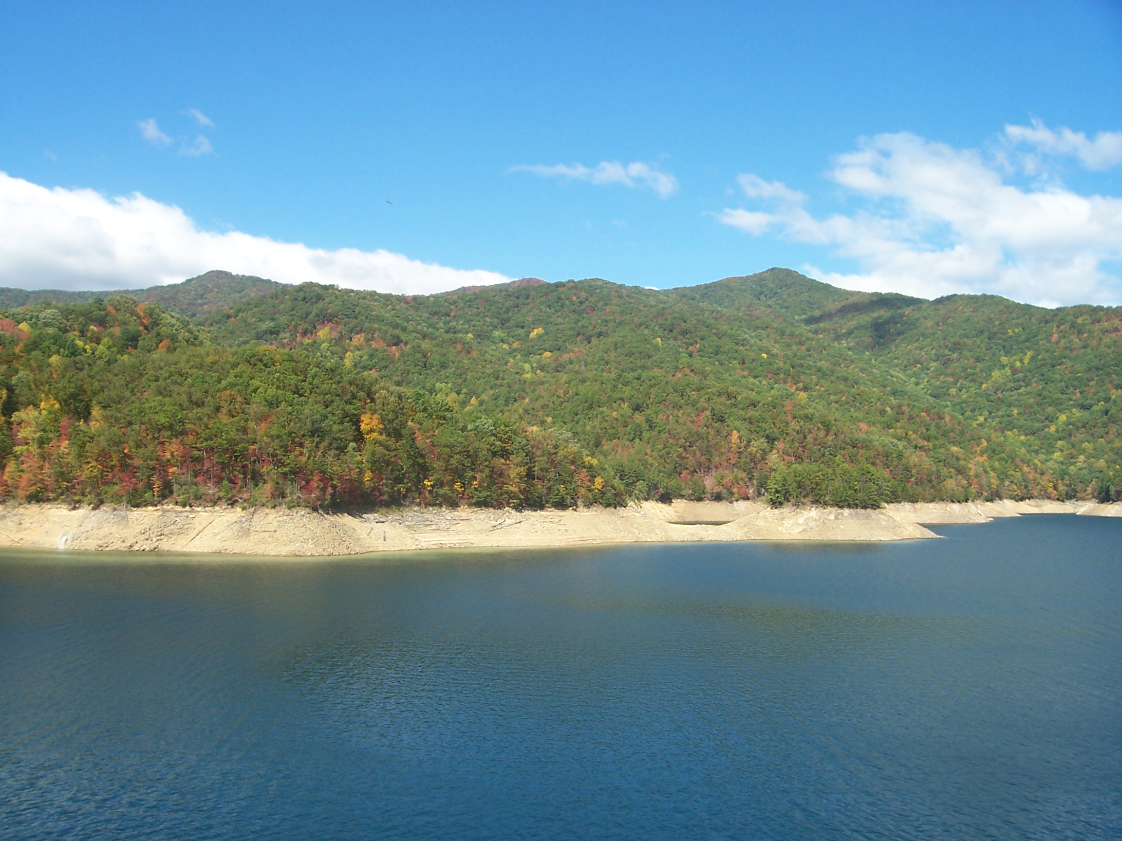
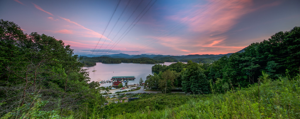
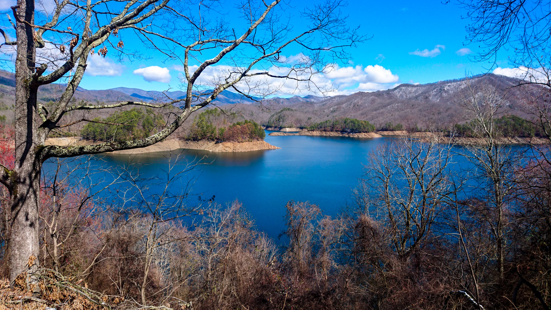
Fontana Lake
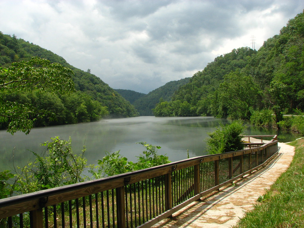
View of the Little Tennessee River
GSMNP Backpack Day 6 - June 28, 2014 - View Downstream of Fontana Dam
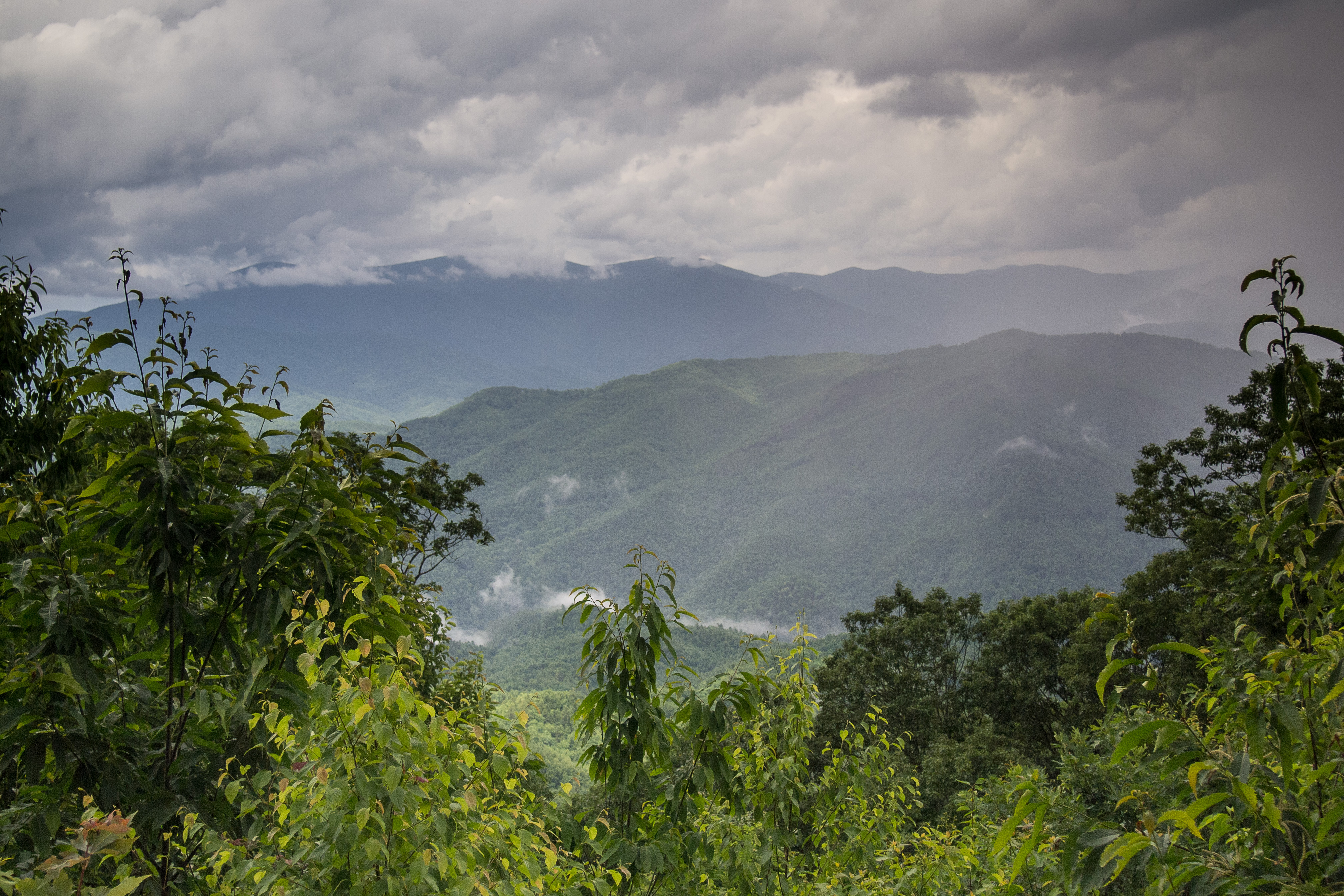
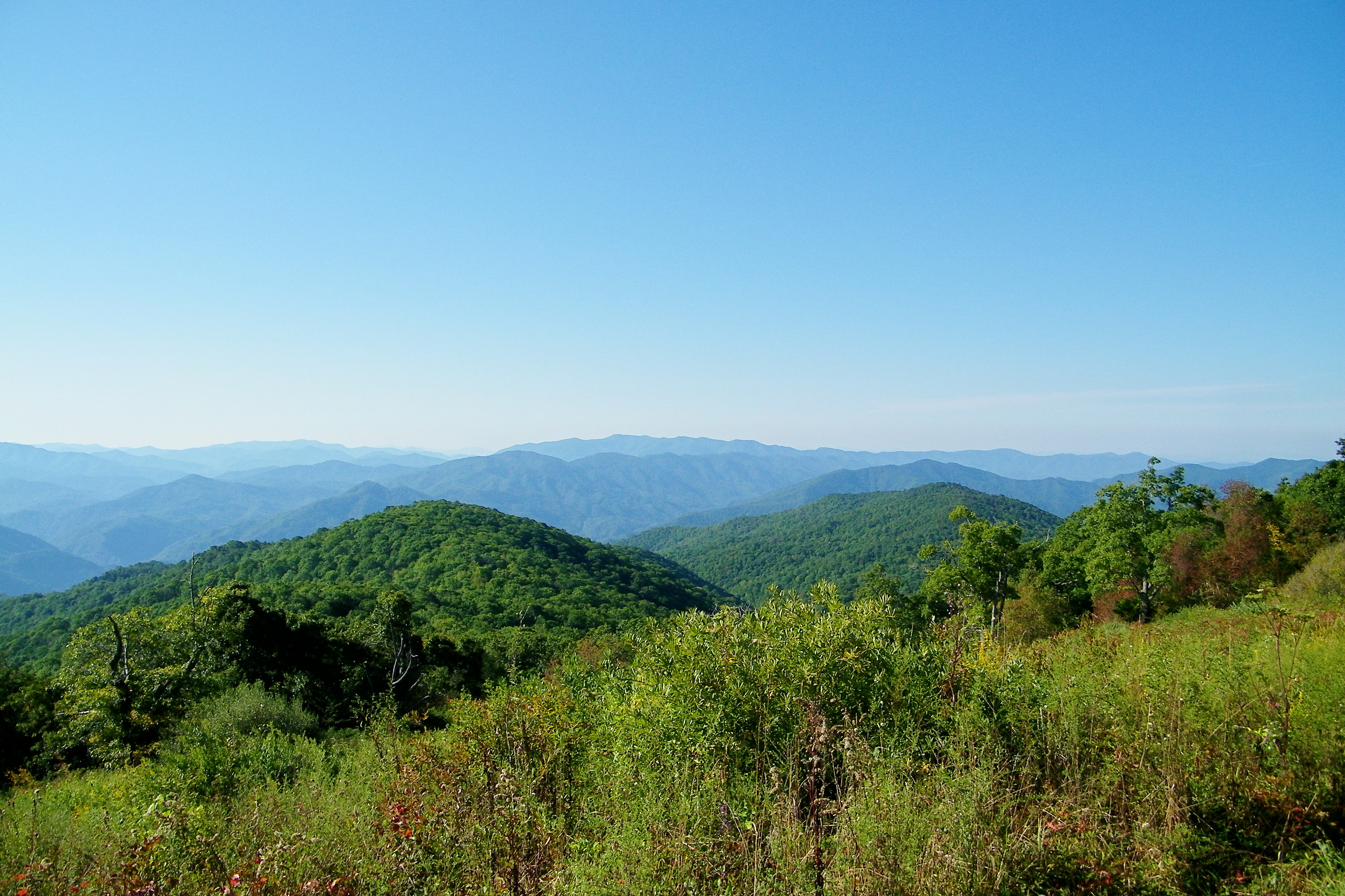
Mountain views

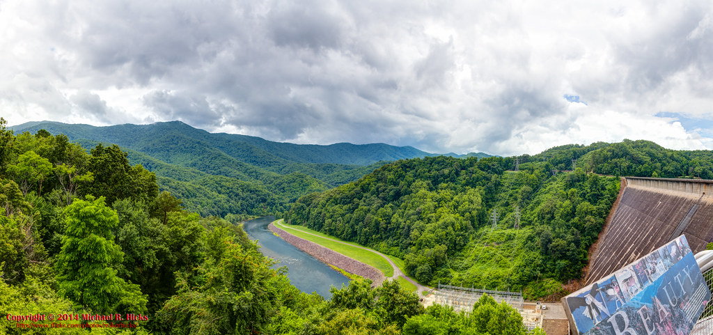
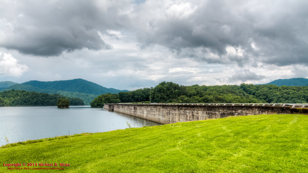
View from the Dam
View From ShuckStack Tower, Great Smoky Mountains
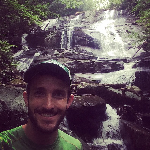
Sassafras Falls in the #snowbird wilderness...couldn't find the trail so we hiked up the creek...a well earned view :) #brysoncityoutdoors #lifeoutside
Cheoah Bald

Smokies-20110311-214.jpg
First Light
View From Shook Stack
140706-3175 Fontana Dam

fontana view
Creek of Fog
Into the Woods
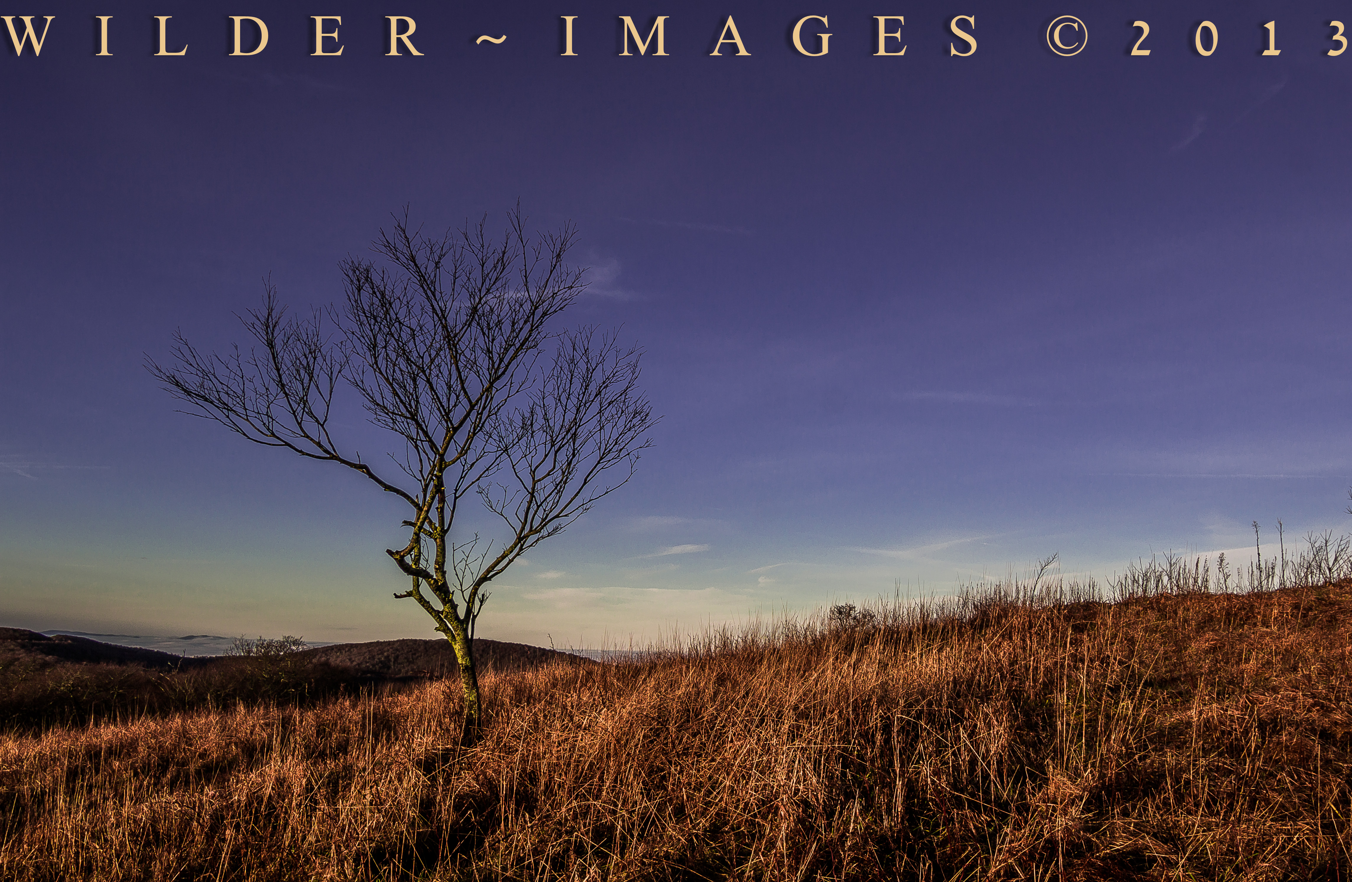
"HOME ON HIGH"

The hills and roads tucked in the mountains in Tennessee
Obadiah Gap on the Cherohala Skyway

Graham County Railroad - Robbinsville scale track
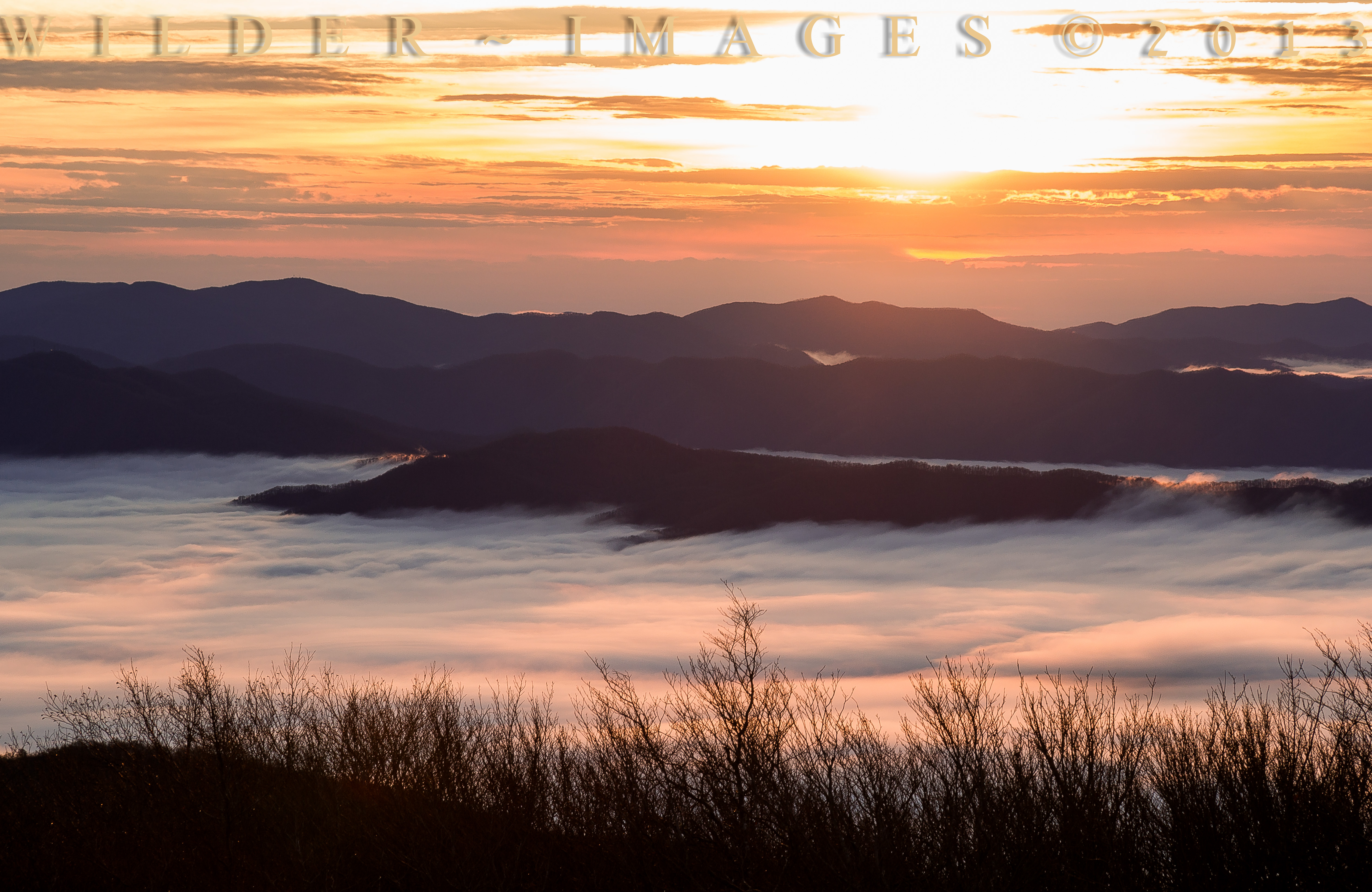
"SEA OF CLOUDS"

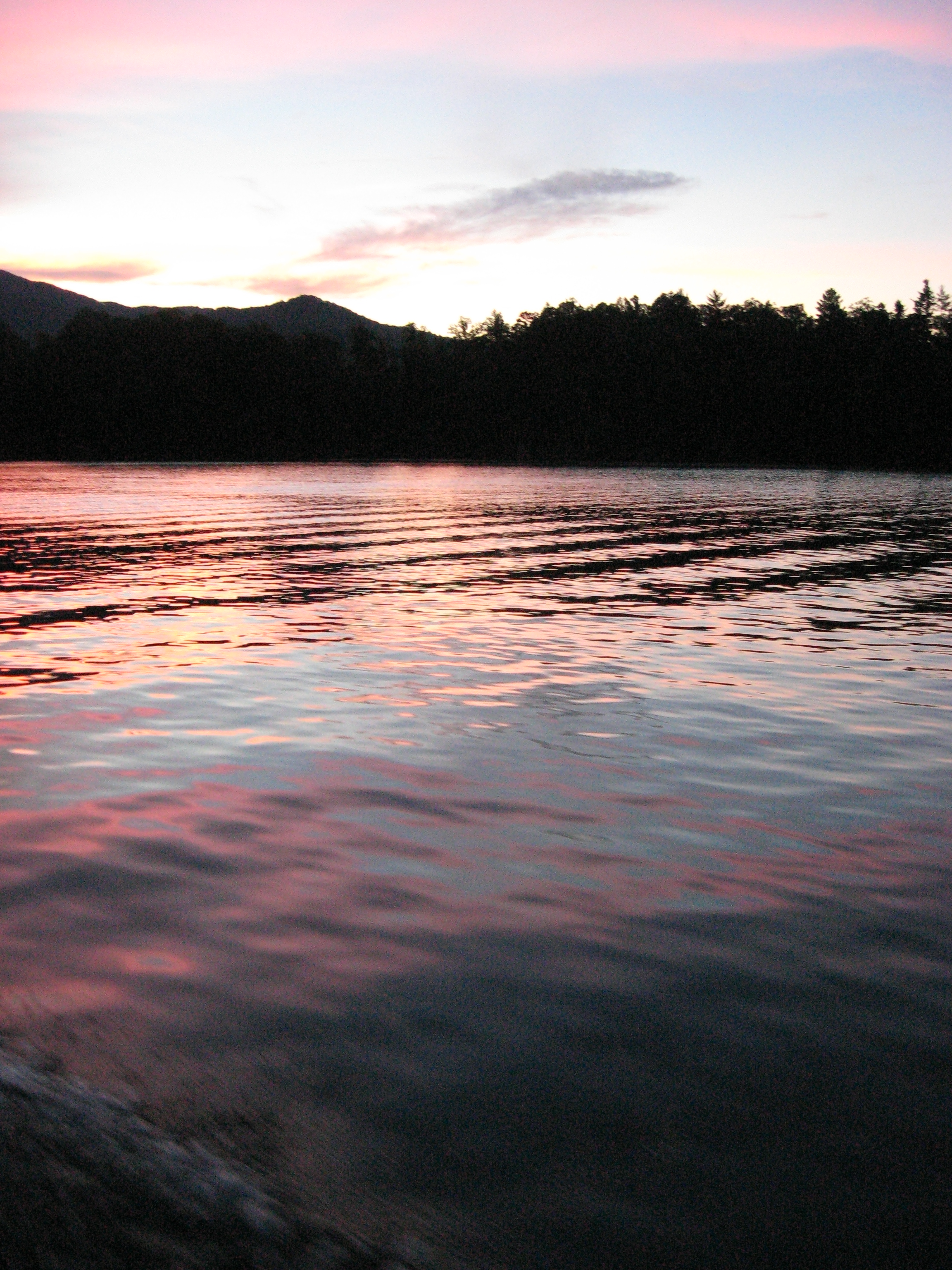
Blue Waters 2012
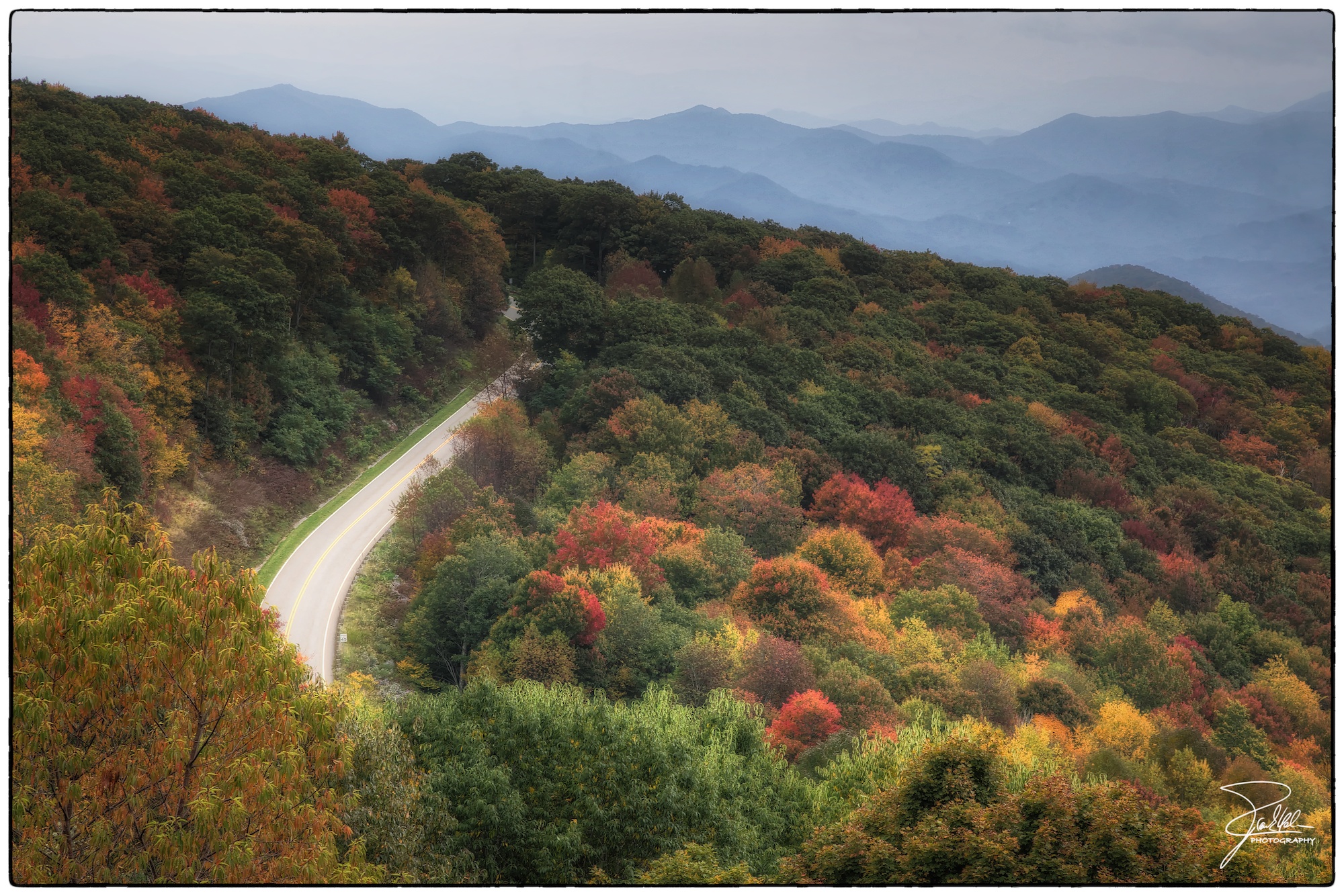
Cherohala Skyway
Blue Waters 2012
DSC_6812.NEF
Blue Waters 2012

Graham County Railroad - Franks Creek, North Carolina
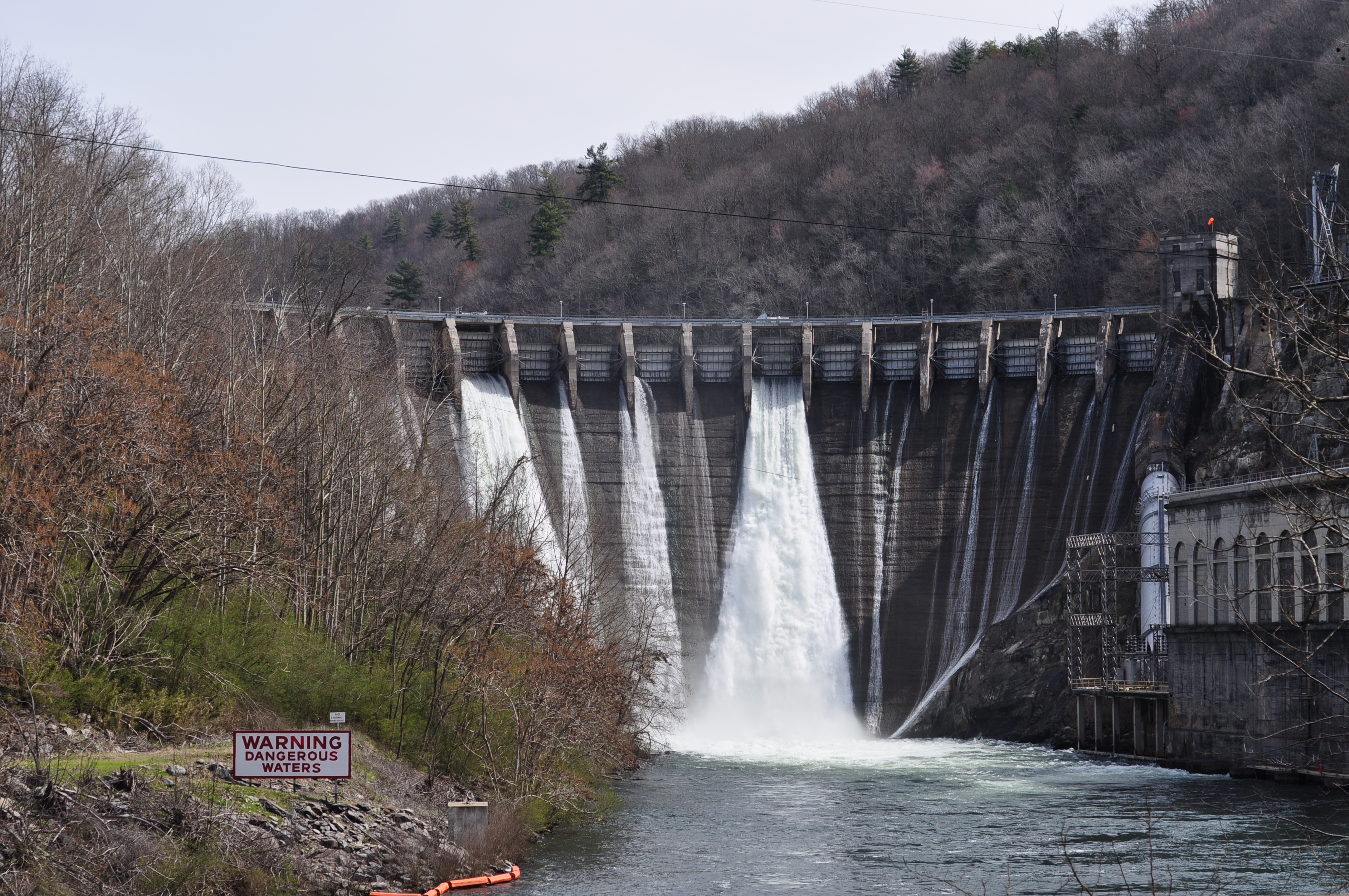
DSC_7305_ Cheoah Dam, NC, USA
Fontana Dam II
GSMNP Backpack Day 6 - June 28, 2014 - Approaching Fontana Dam
Topographic Map of Snowbird Creek, Cheoah, NC, USA
Find elevation by address:

Places near Snowbird Creek, Cheoah, NC, USA:
230 Cove Trail
1523 Dogwood Trail
74 Chestnut Ridge
1605 Cherohala Skyway
701 Golf Course Cir
292 Pine Ridge Rd
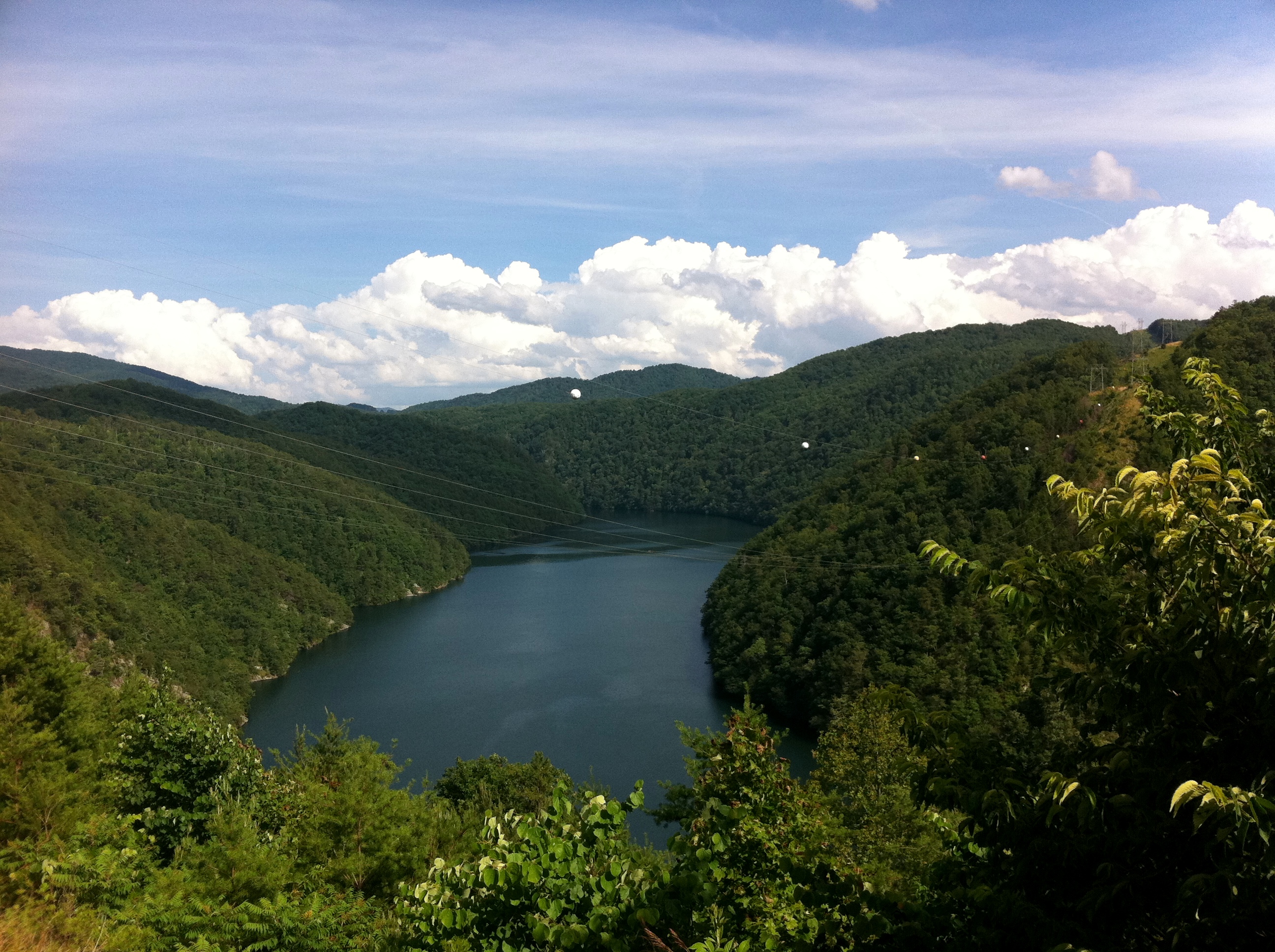
Lake Santeetlah
1268 Blue Boar Rd
1283 Blue Boar Rd
178 John Grant Way
915 Gladdens Creek Rd
941 Ollies Creek Rd
4633 Santeetlah Rd
Snowbird Mountain Lodge
Robbinsville, NC, USA
Graham County
944 Ollies Creek Rd
Cochrans Creek
224 Cochrans Cr Rd
671 Mountain Creek Rd
Recent Searches:
- Elevation of W Granada St, Tampa, FL, USA
- Elevation of Pykes Down, Ivybridge PL21 0BY, UK
- Elevation of Jalan Senandin, Lutong, Miri, Sarawak, Malaysia
- Elevation of Bilohirs'k
- Elevation of 30 Oak Lawn Dr, Barkhamsted, CT, USA
- Elevation of Luther Road, Luther Rd, Auburn, CA, USA
- Elevation of Unnamed Road, Respublika Severnaya Osetiya — Alaniya, Russia
- Elevation of Verkhny Fiagdon, North Ossetia–Alania Republic, Russia
- Elevation of F. Viola Hiway, San Rafael, Bulacan, Philippines
- Elevation of Herbage Dr, Gulfport, MS, USA