Elevation of Snow Hill Rd, Salisbury, MD, USA
Location: United States > Maryland > Worcester County > 7, Atkinsons >
Longitude: -75.518848
Latitude: 38.2682239
Elevation: 14m / 46feet
Barometric Pressure: 101KPa
Elevation Map:
Satellite Map:
Related Photos:

Park Foliage

Salisbury City Park

The Blueblack Cold
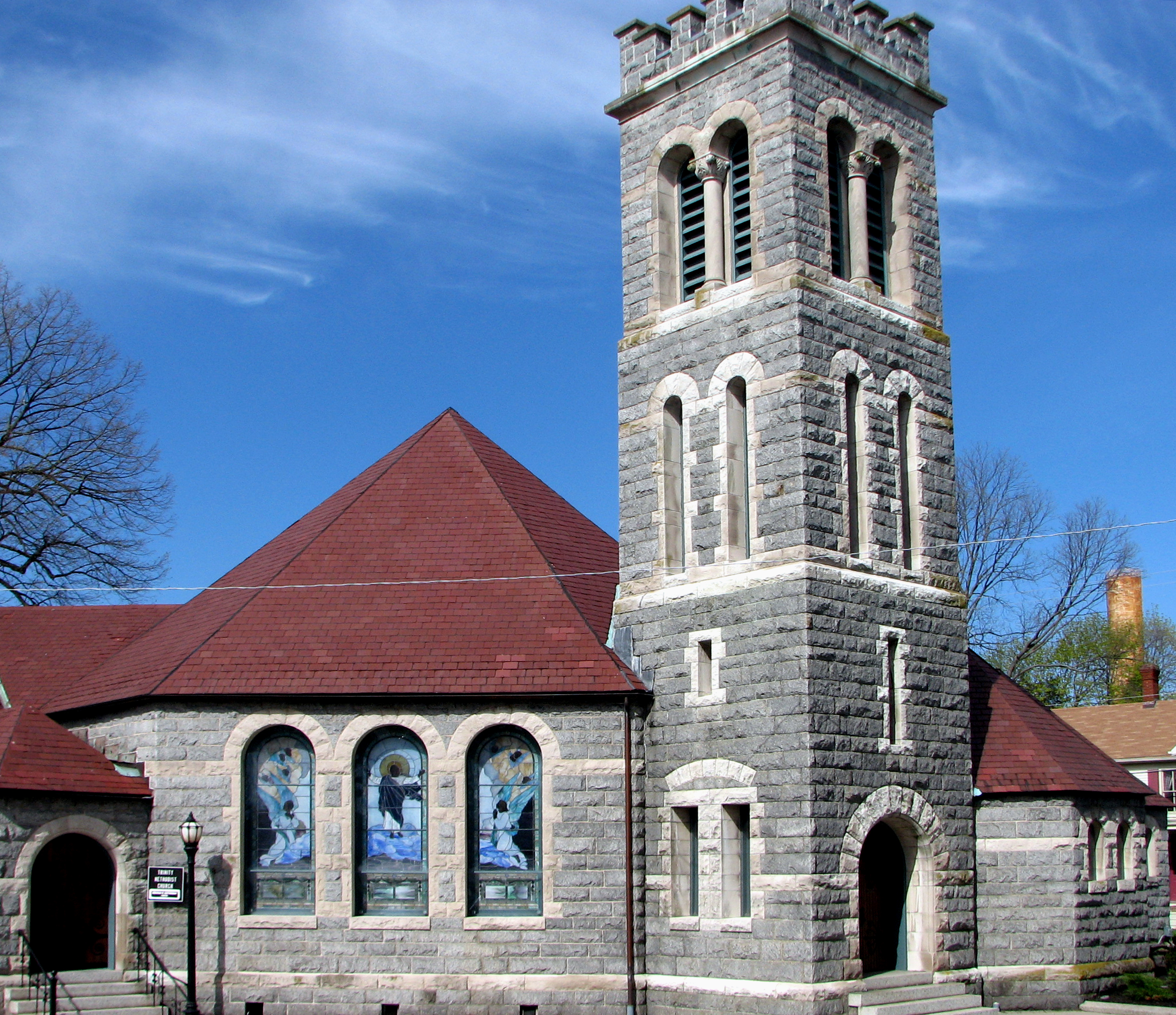
Trinity U.M. Church, Salisbury, Maryland
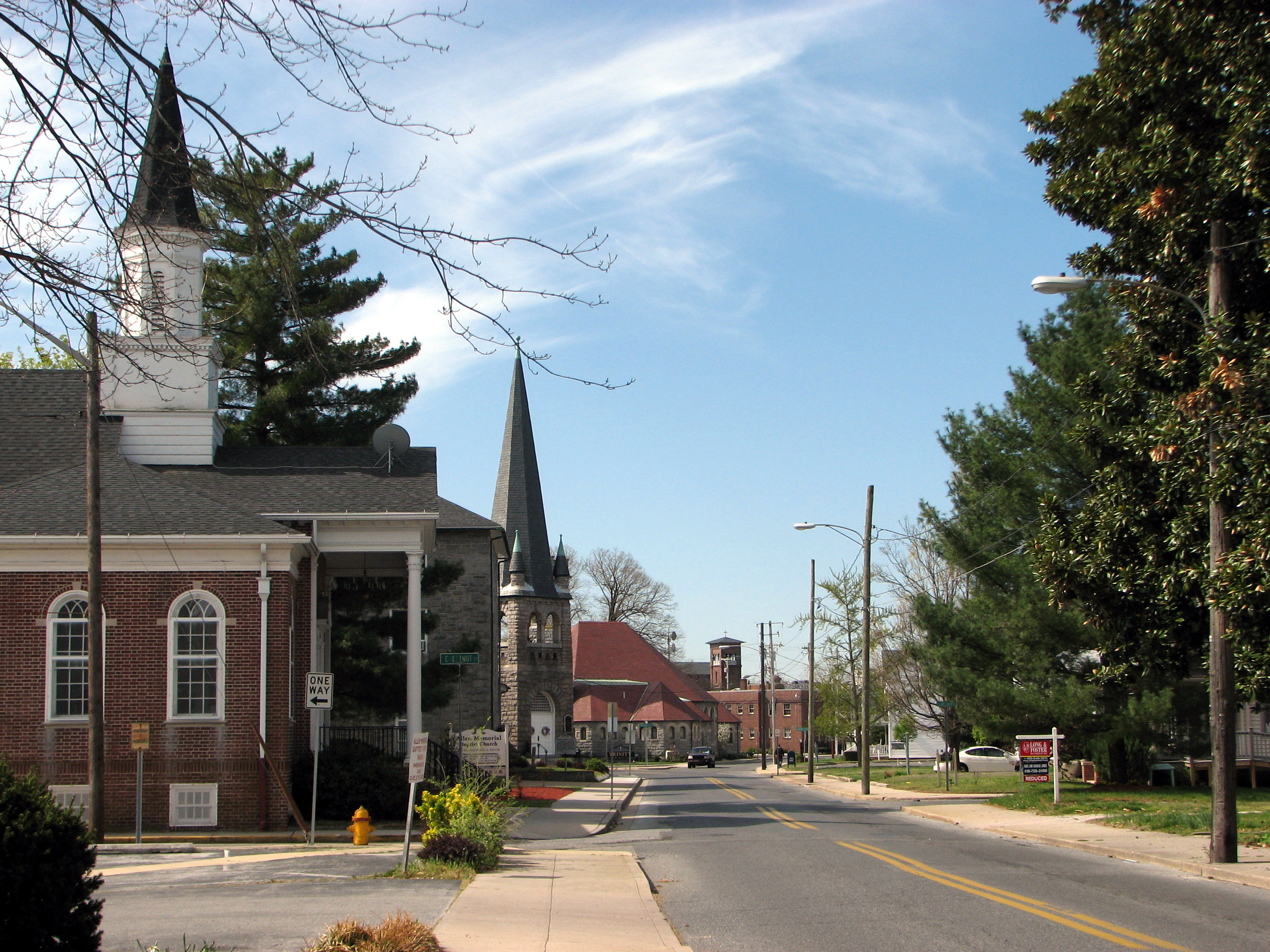
North Division Street, Salisbury, Maryland

Faith Community Church, Salisbury, Maryland

School daze
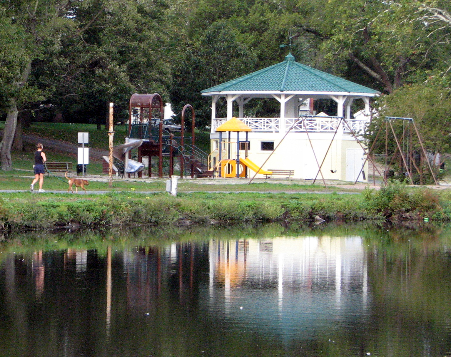
Bandstand and Playground
Spring has come to Salisbury, Maryland

riverside dr salisbury

Juvenile RTH

Park IR
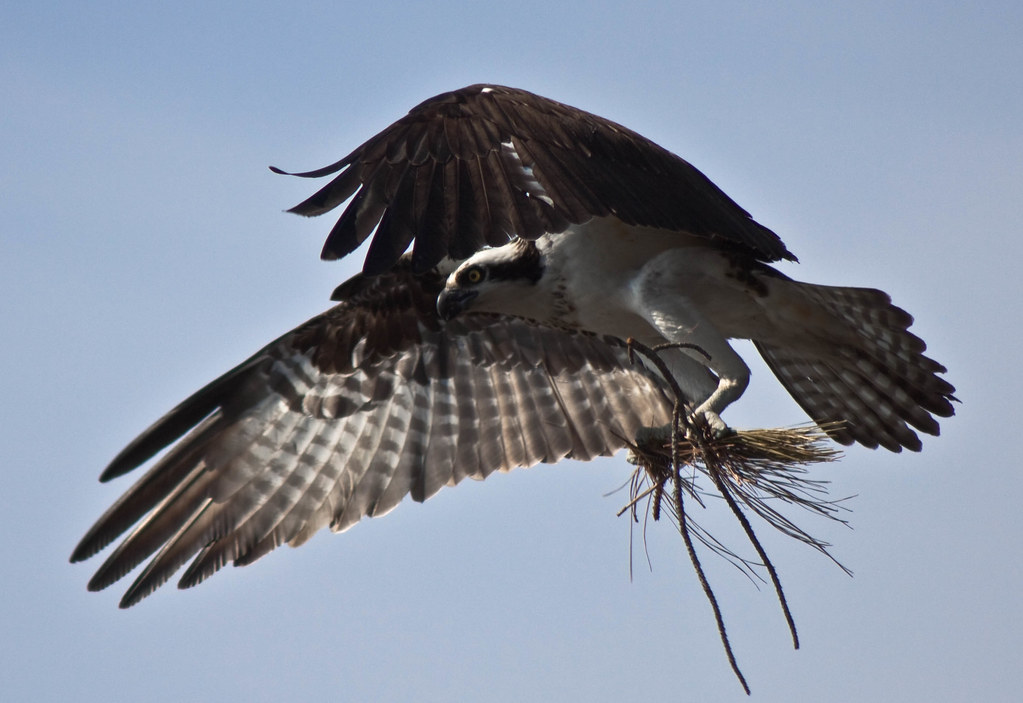
Nest Building: 101

The Path To The Infrarealm

bw version
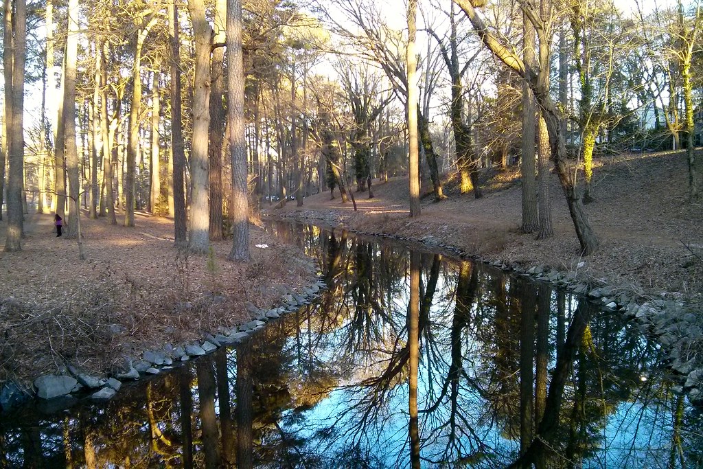
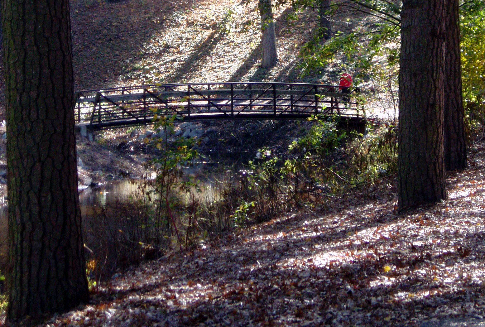
Stream view from a footbridge
Salisbury, MD
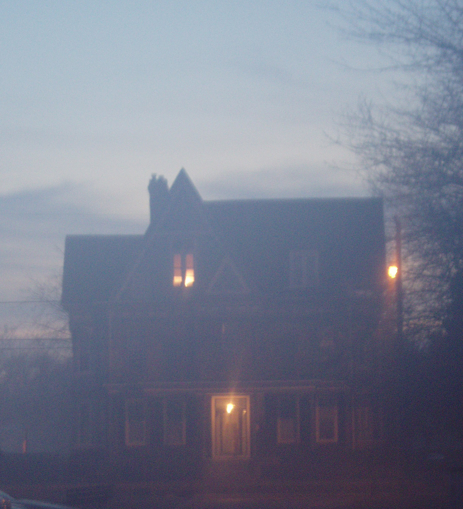
Foggy dawn, Camden Ave., Salisbury

Wicomico River, East Prong

Almost B&W

View from the adirondack chairs at our B&B

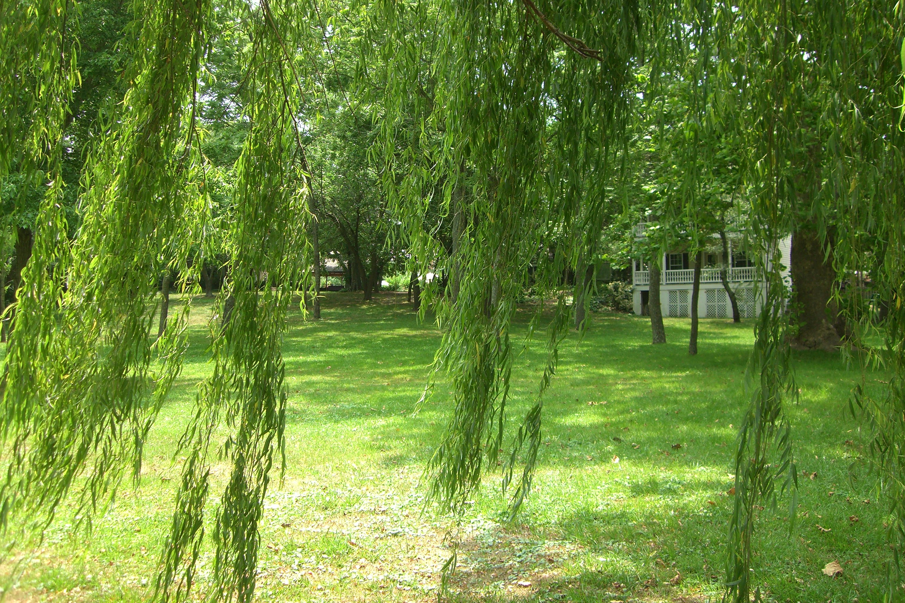
Home and Nature

Stream view from a footbridge
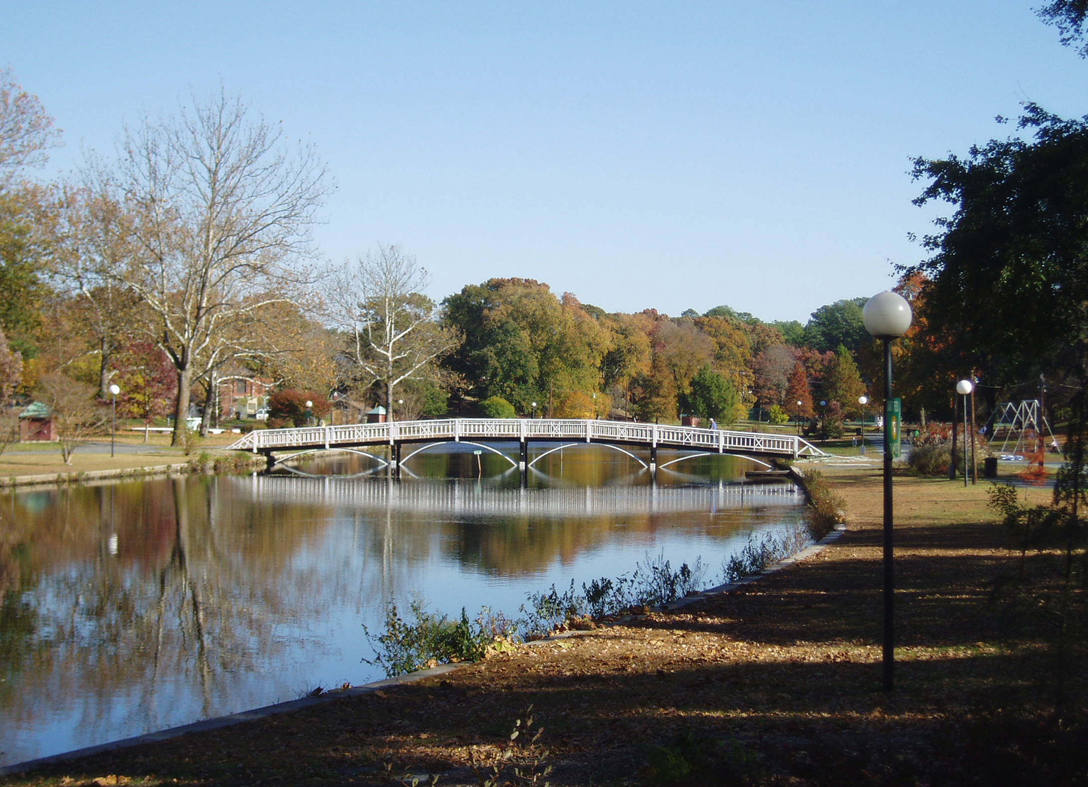
Salisbury City Park
Glory be to God for dappled things

20100924-IMG_1731

On Peggy's Farm

Sunset in Salisbury,MD
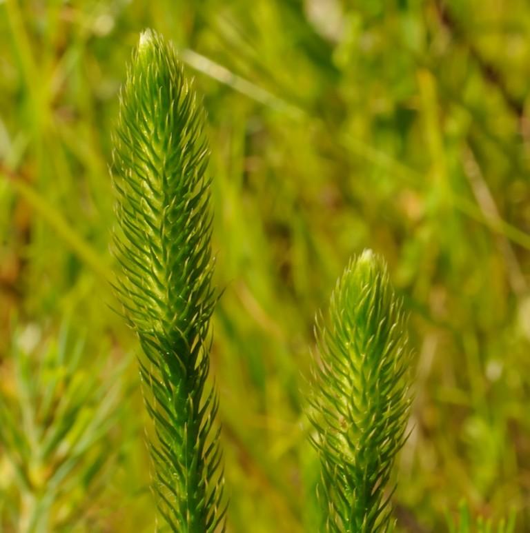
Bog Lycopodium
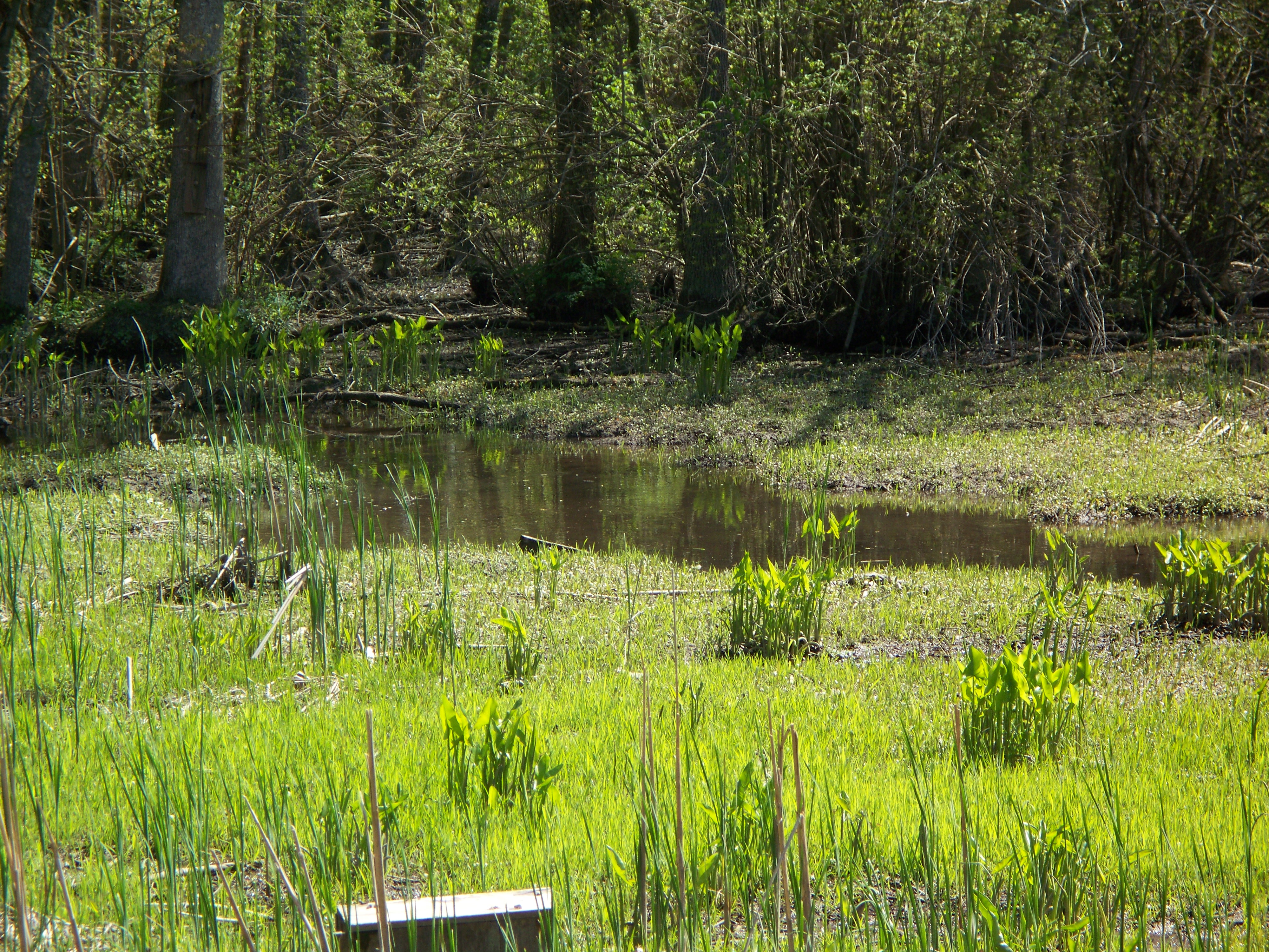
Marsh at Pemberton Historic Park
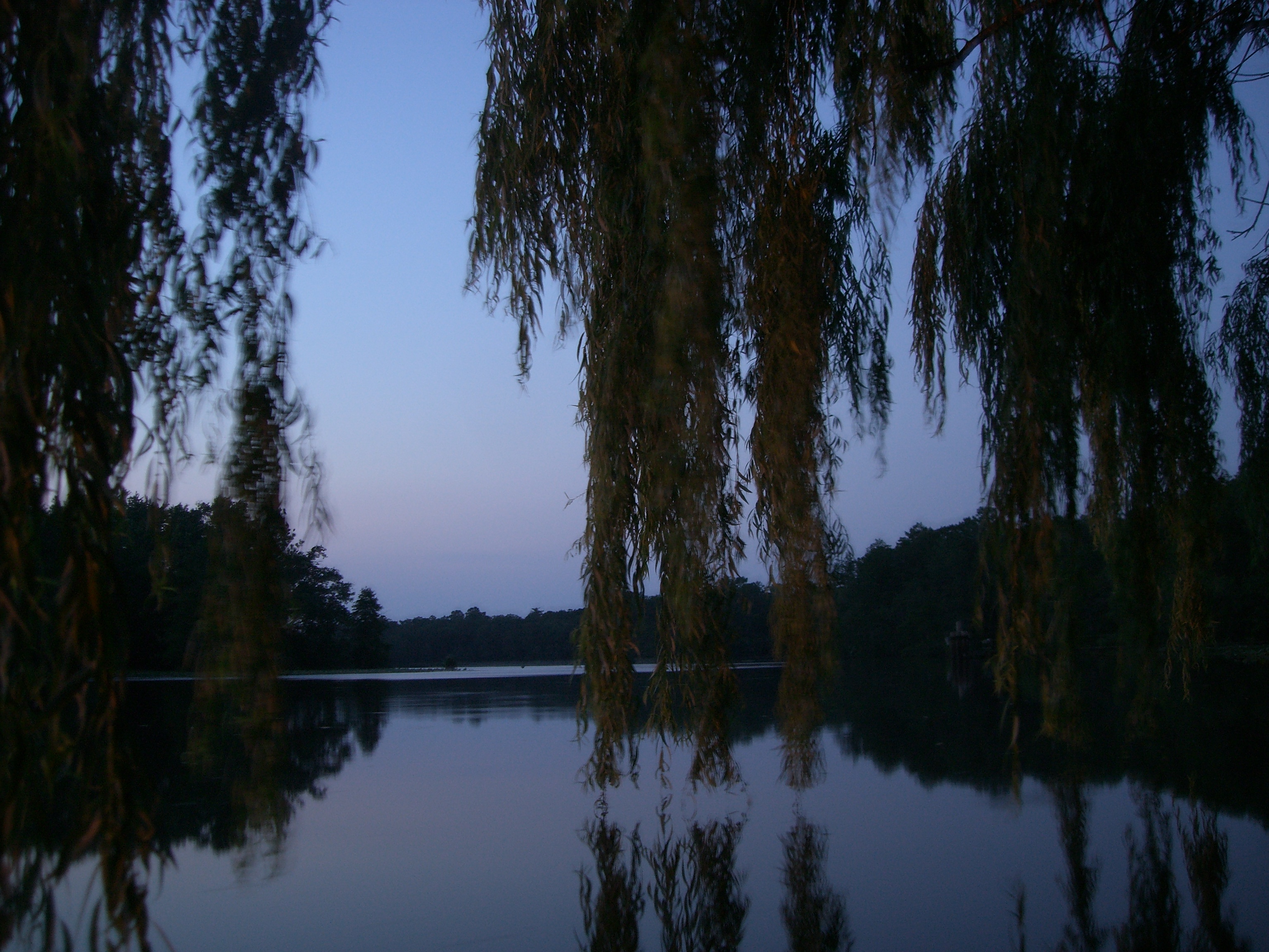
The river at dusk

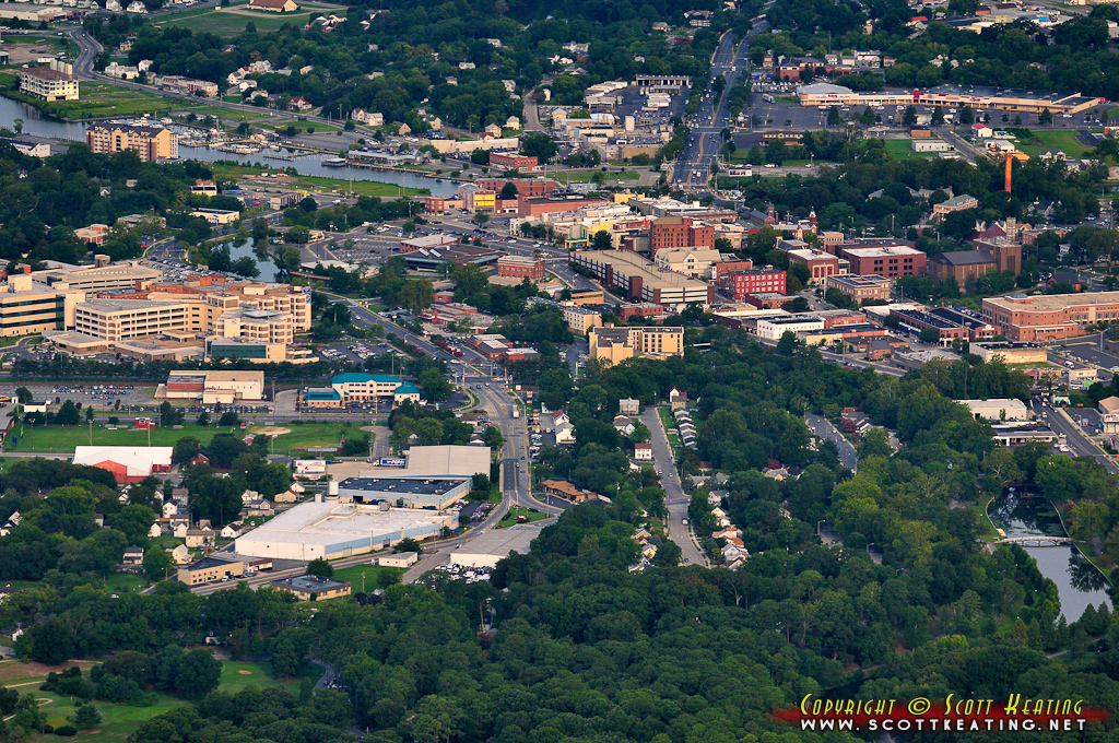
Salisbury Maryland

National Aquarium Stream Challenge
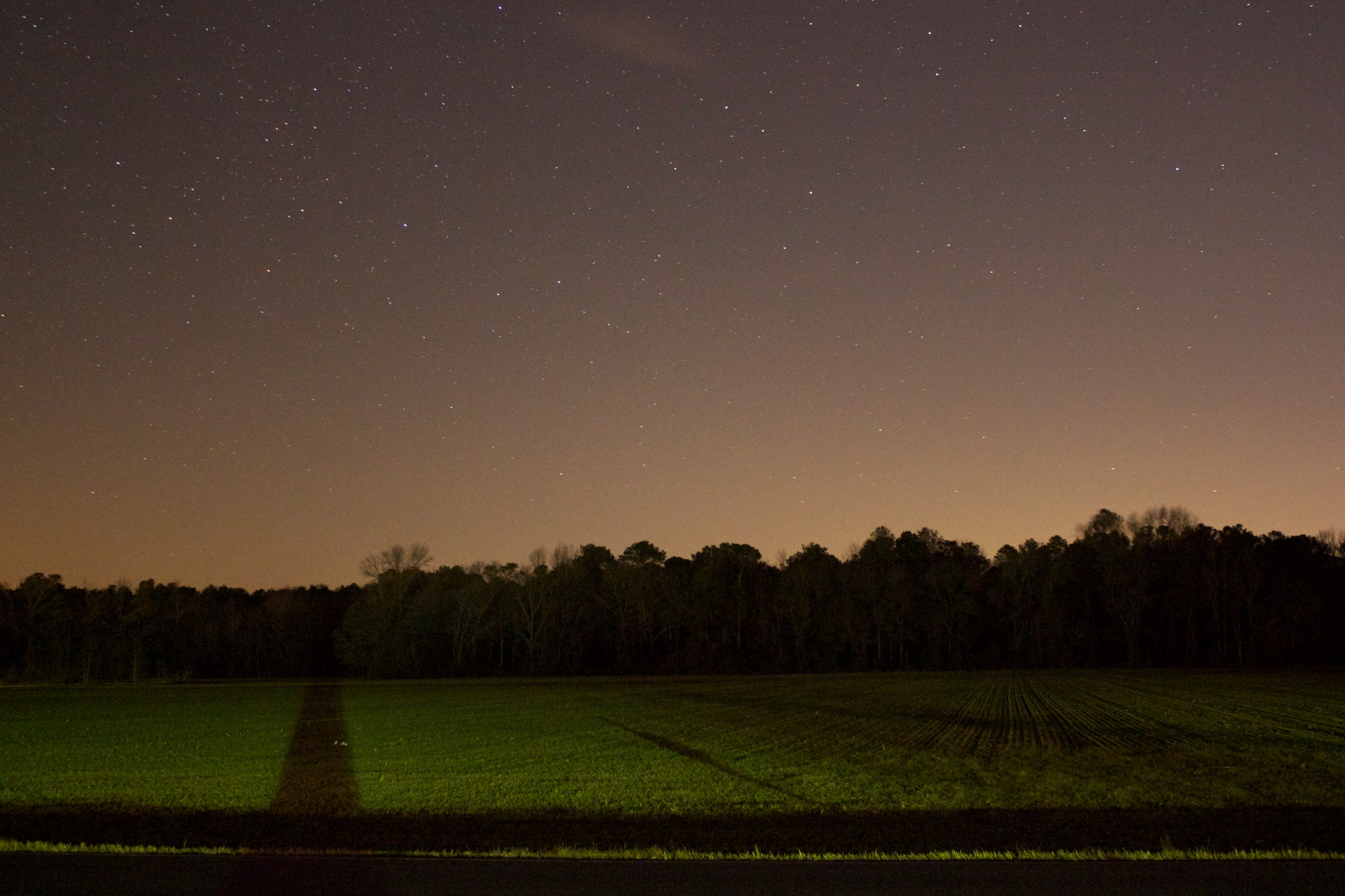
Field at Night

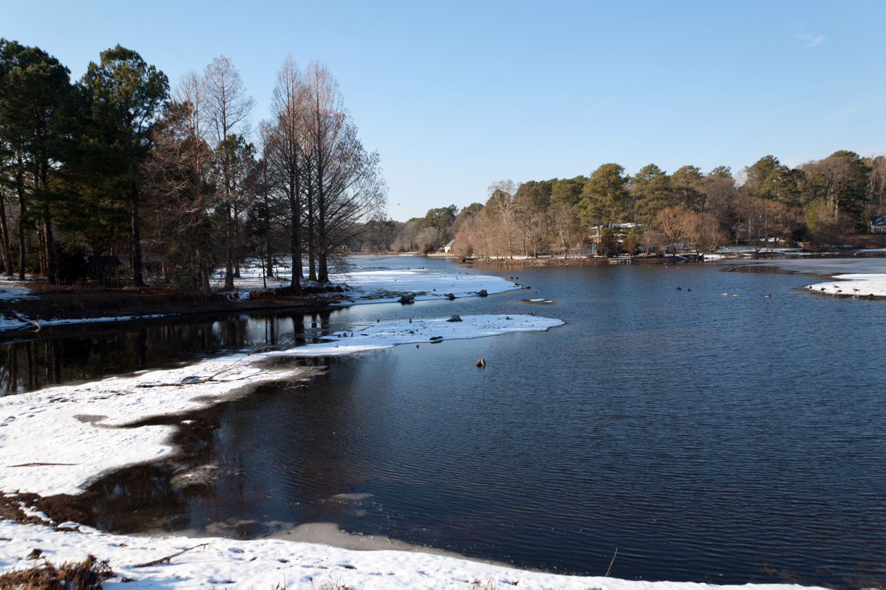
Site 9. Mitchel Pond
The grounds at the River House Inn

Bear Swamp Road

Crazy eastern shore sunset tonight on our way down to Cape Charles. It looked like the horizon was on fire!
Near Salisbury in Maryland
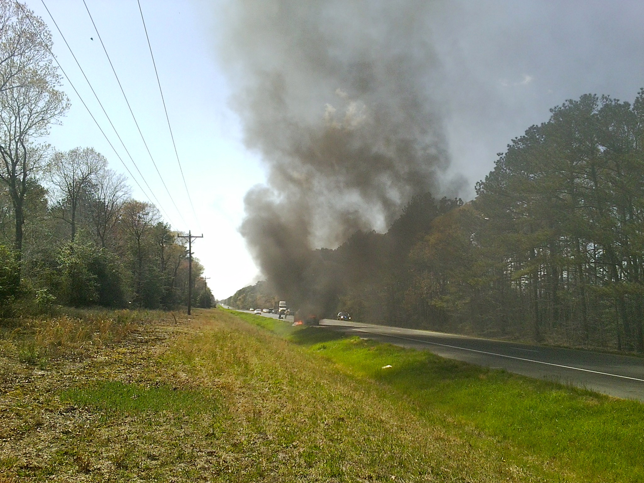
MD Route 50 Truck Fire
Topographic Map of Snow Hill Rd, Salisbury, MD, USA
Find elevation by address:

Places near Snow Hill Rd, Salisbury, MD, USA:
St Lukes Rd, Salisbury, MD, USA
Dog House Drive
2834 Coulbourn Mill Rd
3824 Coulbourn Mill Rd
Mt Olive Rd, Salisbury, MD, USA
30565 E Rustic Dr
Wild Turkey Way
8, Nutters
Ridge Rd, Snow Hill, MD, USA
6722 Lenape Pl
Kettleford Drive
3892 Lost Fawn Dr
Devonshire Drive
3878 Devonshire Dr
7, Atkinsons
Whiteburg
Wildwood Trail
Scotty Rd, Snow Hill, MD, USA
6, Dennis
Worcester County
Recent Searches:
- Elevation of Dog Leg Dr, Minden, NV, USA
- Elevation of Dog Leg Dr, Minden, NV, USA
- Elevation of Kambingan Sa Pansol Atbp., Purok 7 Pansol, Candaba, Pampanga, Philippines
- Elevation of Pinewood Dr, New Bern, NC, USA
- Elevation of Mountain View, CA, USA
- Elevation of Foligno, Province of Perugia, Italy
- Elevation of Blauwestad, Netherlands
- Elevation of Bella Terra Blvd, Estero, FL, USA
- Elevation of Estates Loop, Priest River, ID, USA
- Elevation of Woodland Oak Pl, Thousand Oaks, CA, USA