Elevation of Smithville, NY, USA
Location: United States > New York > Chenango County >
Longitude: -75.737149
Latitude: 42.4157317
Elevation: 457m / 1499feet
Barometric Pressure: 96KPa
Elevation Map:
Satellite Map:
Related Photos:
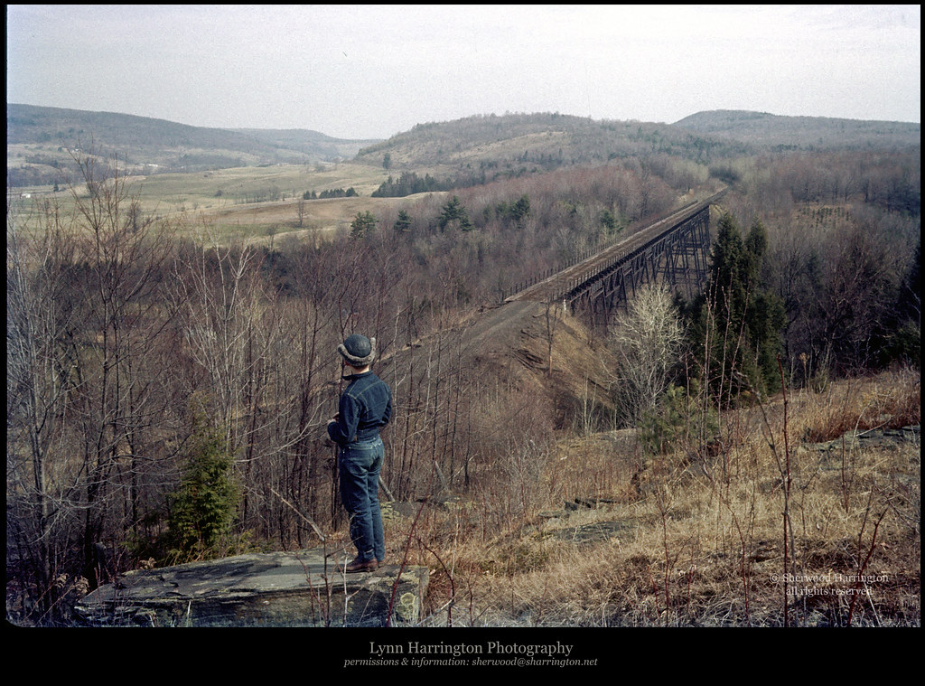
Lyon Brook Trestle, April 1959
Cincinnatus Lake

Bonaparte's Gulls

View of Pond from Camp

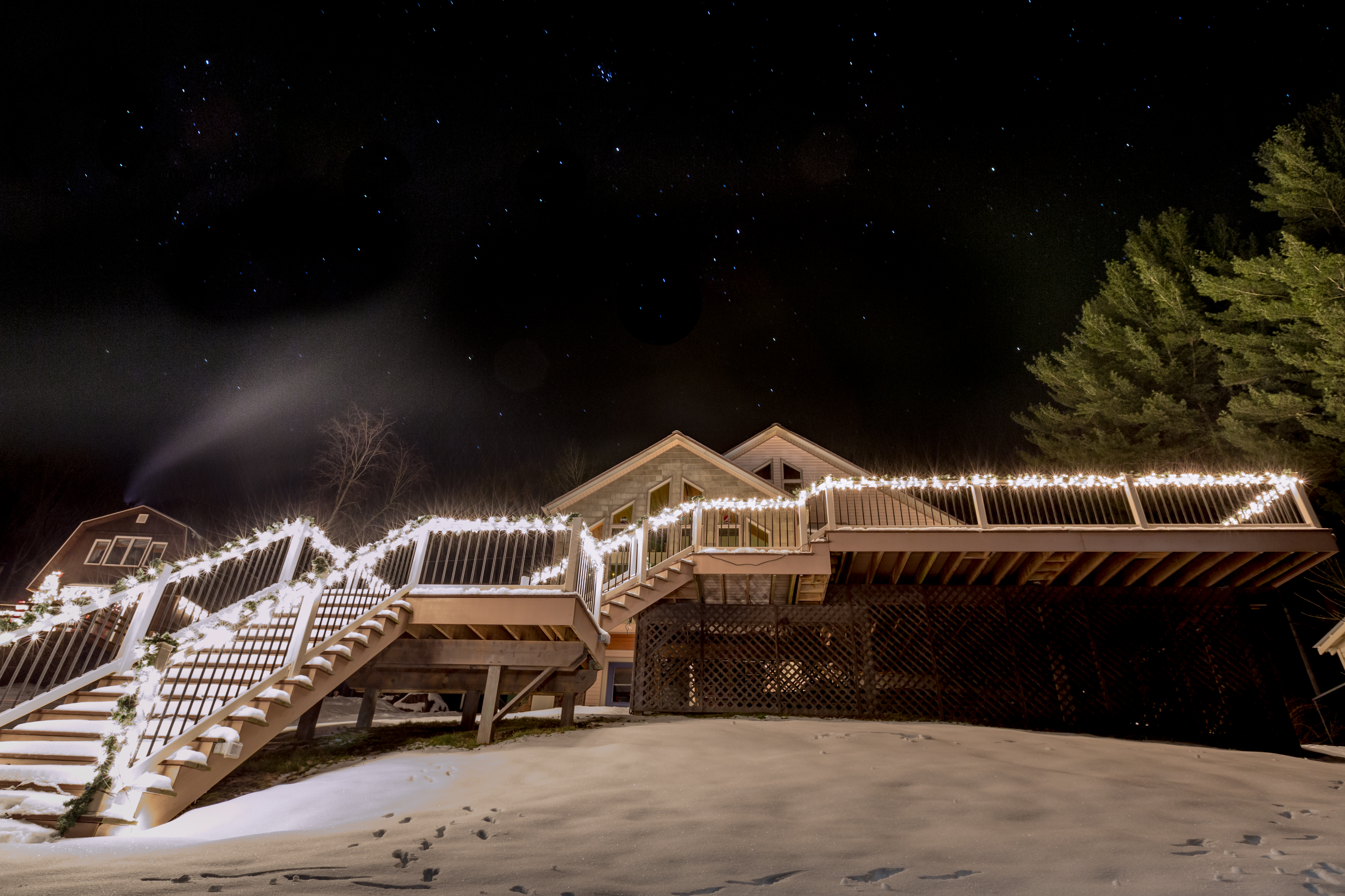
Lake Steere at night

Summer Reflections

Lake Steere at night

Lake Steere at night

Near Long Pond Farm

Canadian Geese at Sunset

Sun Rays
At the Shore
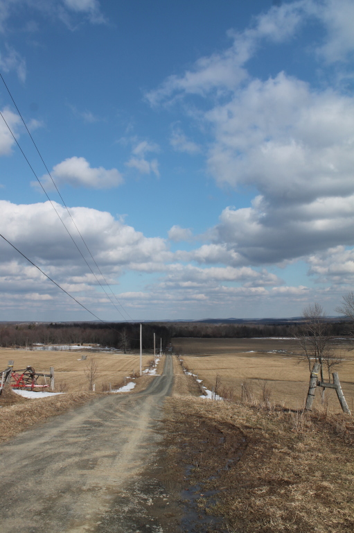
Truck Trail to Firetower
Lake Steere at night
Long Pond State Forest, McDonough, NY
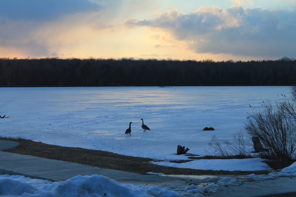
Candian Geese Looking for Forward
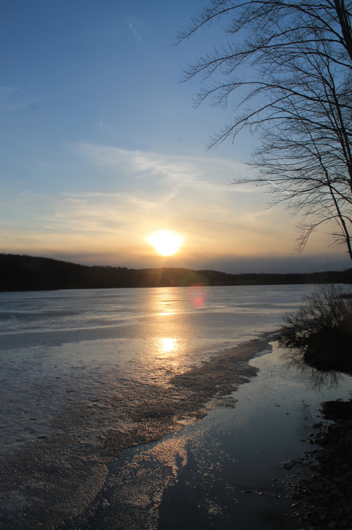
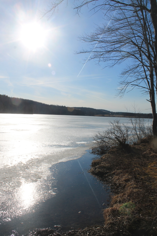
Setting Sun Over Frozen Lake
Lake Steere at night
Bend in the Road
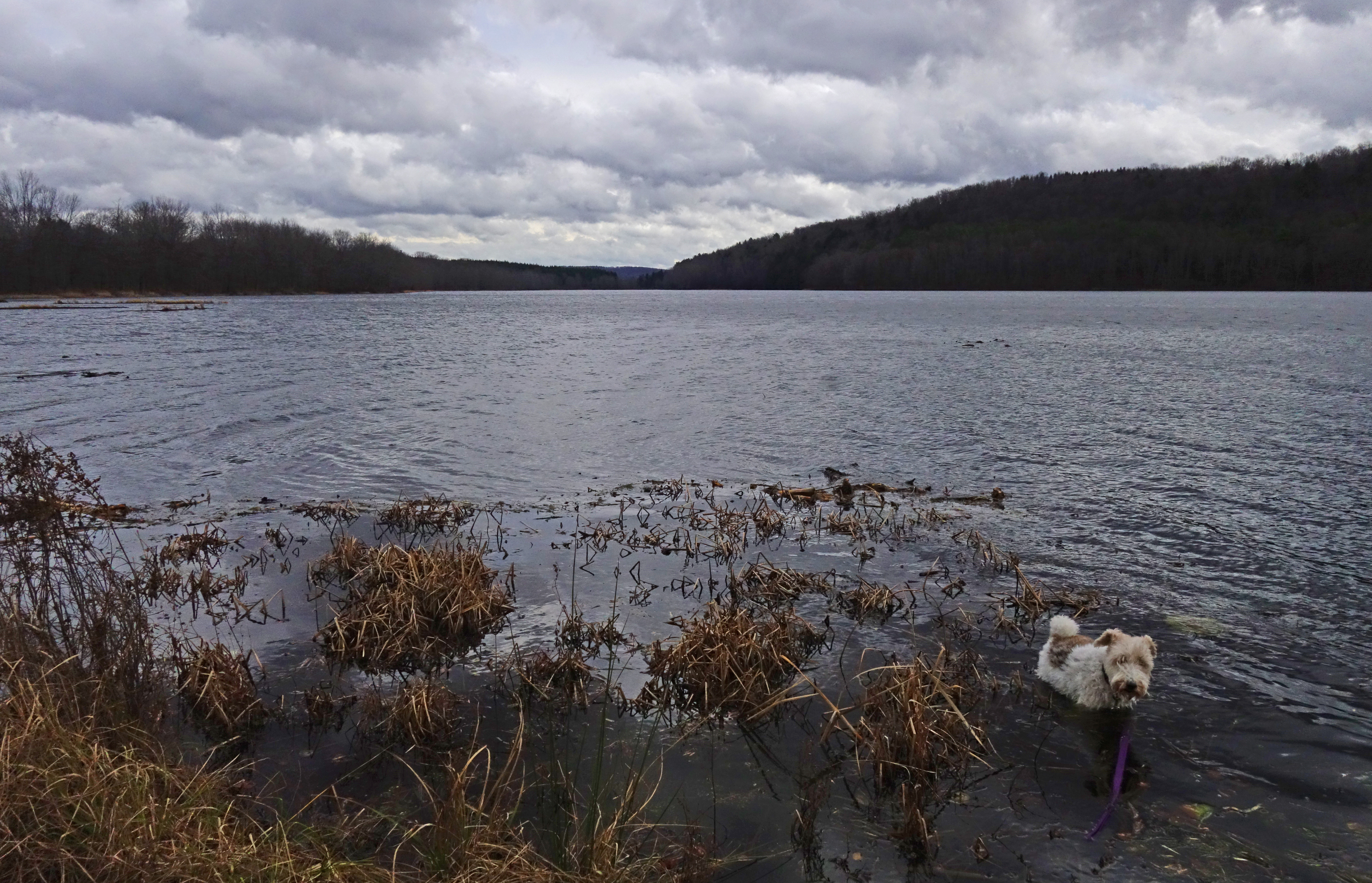
Lake Shore

Long Pond

Setting Sun
White Birch Planation

Reflections of Sun
Topographic Map of Smithville, NY, USA
Find elevation by address:

Places in Smithville, NY, USA:
Engaard Rd, Greene, NY, USA
Buckley Hollow Rd, Oxford, NY, USA
Town Of Smithville
County Rd 2, Smithville Flats, NY, USA
County Rd 3, Oxford, NY, USA
Places near Smithville, NY, USA:
Town Of Smithville
147 Enggaard Rd
Engaard Rd, Greene, NY, USA
County Rd 3, Oxford, NY, USA
County Rd 2, Smithville Flats, NY, USA
Mcdonough
202 Corbin Rd
Pooler Road
Buckley Hollow Rd, Oxford, NY, USA
Mcdonough
120 County Rd 7
45 Hillview Dr, Norwich, NY, USA
432 Cross Rd
Kilroy Rd, Oxford, NY, USA
399 County Rd 5
531 Bradley Hill Rd
334 County Rd 18
Oxford
Oxford
Chenango County
Recent Searches:
- Elevation of Groblershoop, South Africa
- Elevation of Power Generation Enterprises | Industrial Diesel Generators, Oak Ave, Canyon Country, CA, USA
- Elevation of Chesaw Rd, Oroville, WA, USA
- Elevation of N, Mt Pleasant, UT, USA
- Elevation of 6 Rue Jules Ferry, Beausoleil, France
- Elevation of Sattva Horizon, 4JC6+G9P, Vinayak Nagar, Kattigenahalli, Bengaluru, Karnataka, India
- Elevation of Great Brook Sports, Gold Star Hwy, Groton, CT, USA
- Elevation of 10 Mountain Laurels Dr, Nashua, NH, USA
- Elevation of 16 Gilboa Ln, Nashua, NH, USA
- Elevation of Laurel Rd, Townsend, TN, USA