Elevation of Smithhart Rd, Vicksburg, MS, USA
Location: United States > Mississippi > Warren County > Vicksburg >
Longitude: -90.648315
Latitude: 32.539308
Elevation: 116m / 381feet
Barometric Pressure: 100KPa
Elevation Map:
Satellite Map:
Related Photos:

Before & After
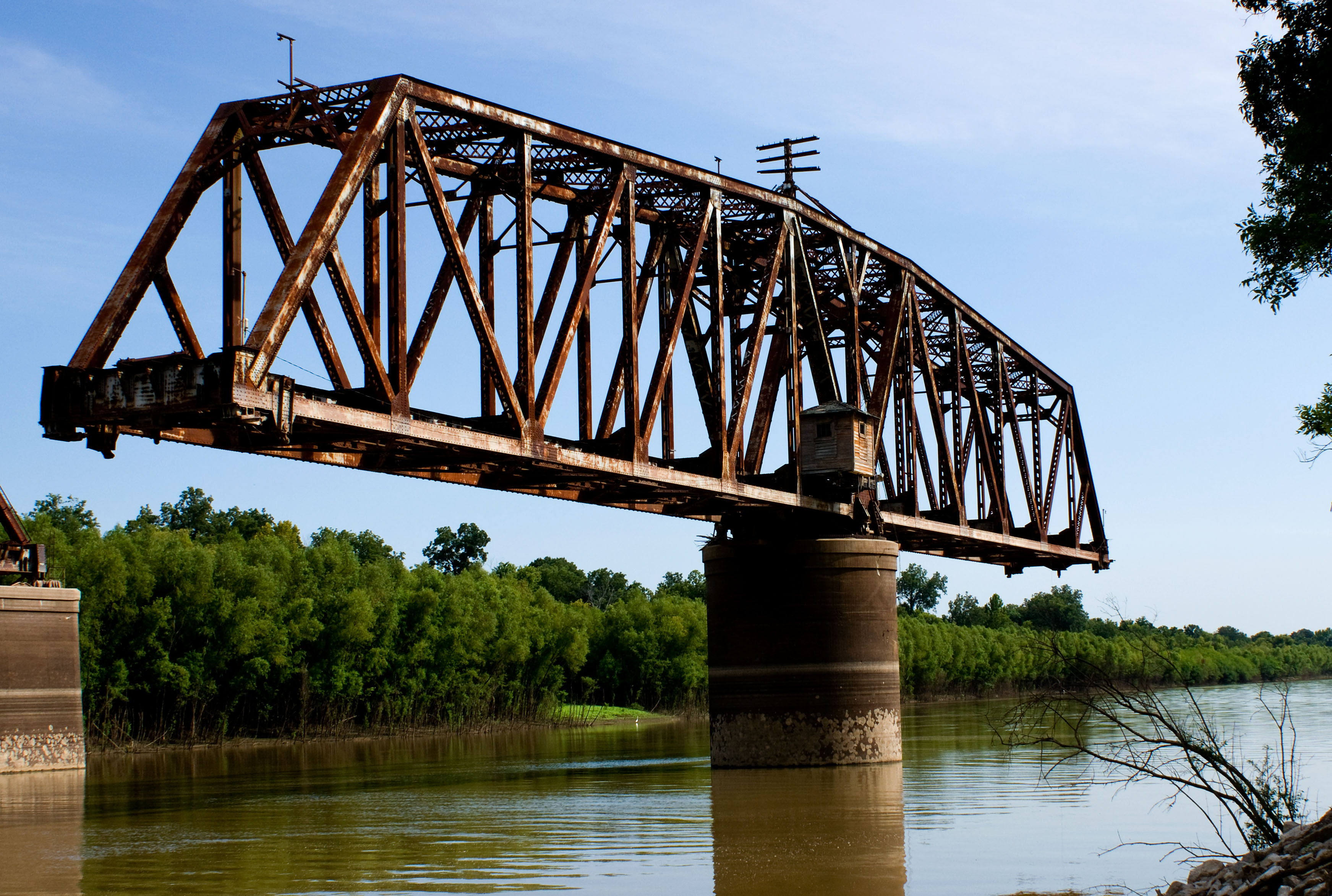
Old Yazoo River Railroad Bridge

Cloudy Lights_edited-1
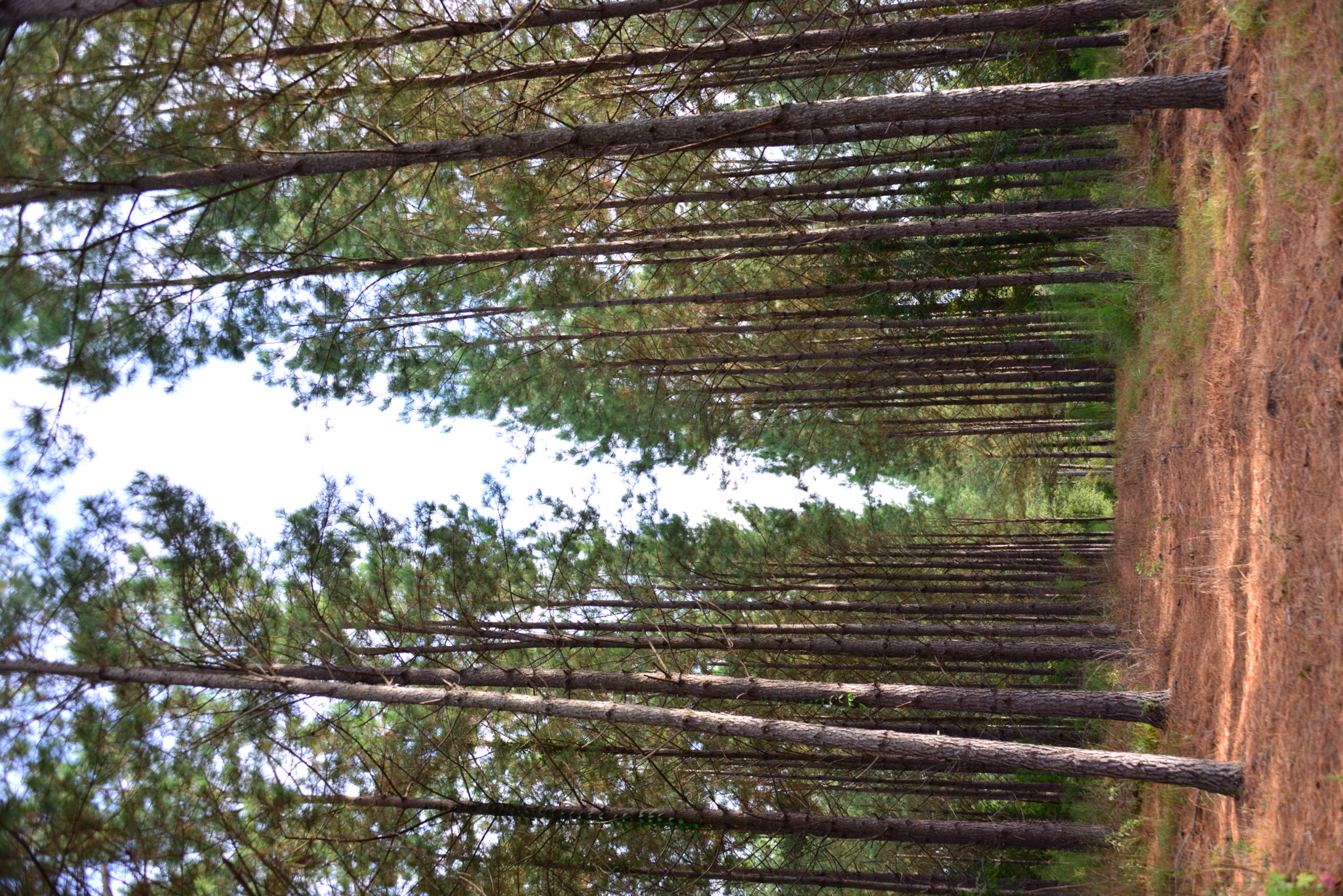
Piney woods

Old Redwood swimming hole
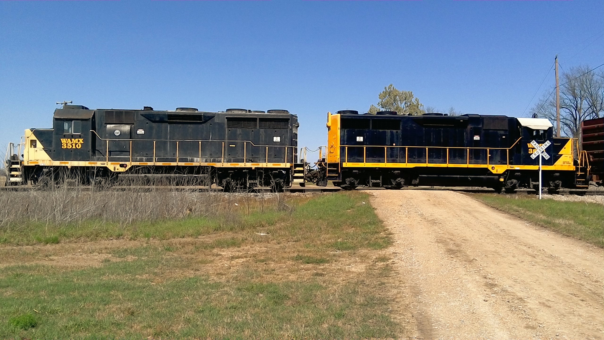
Vicksburg Southern Railroad

Oak leaf
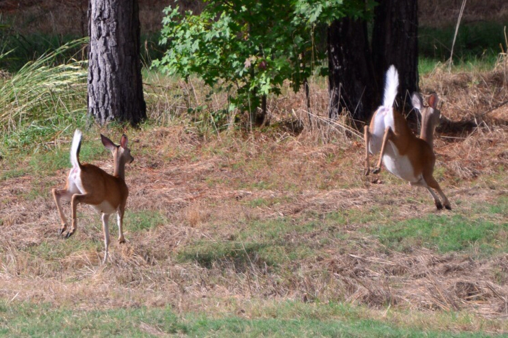
Running wild!

woodstork landing

swinger 2
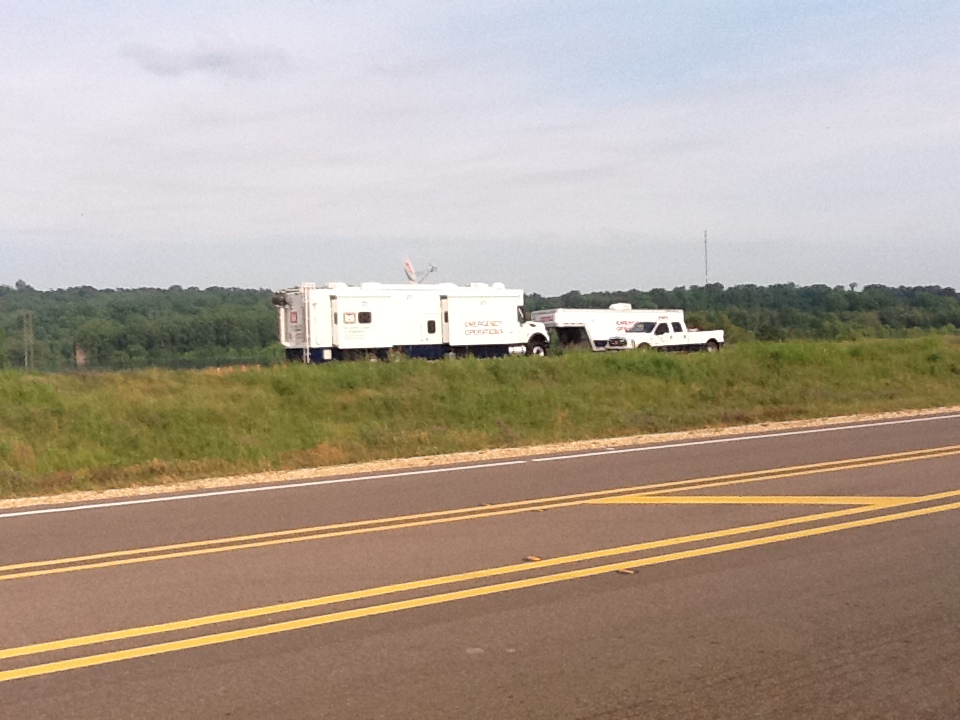
Corp of Engineers
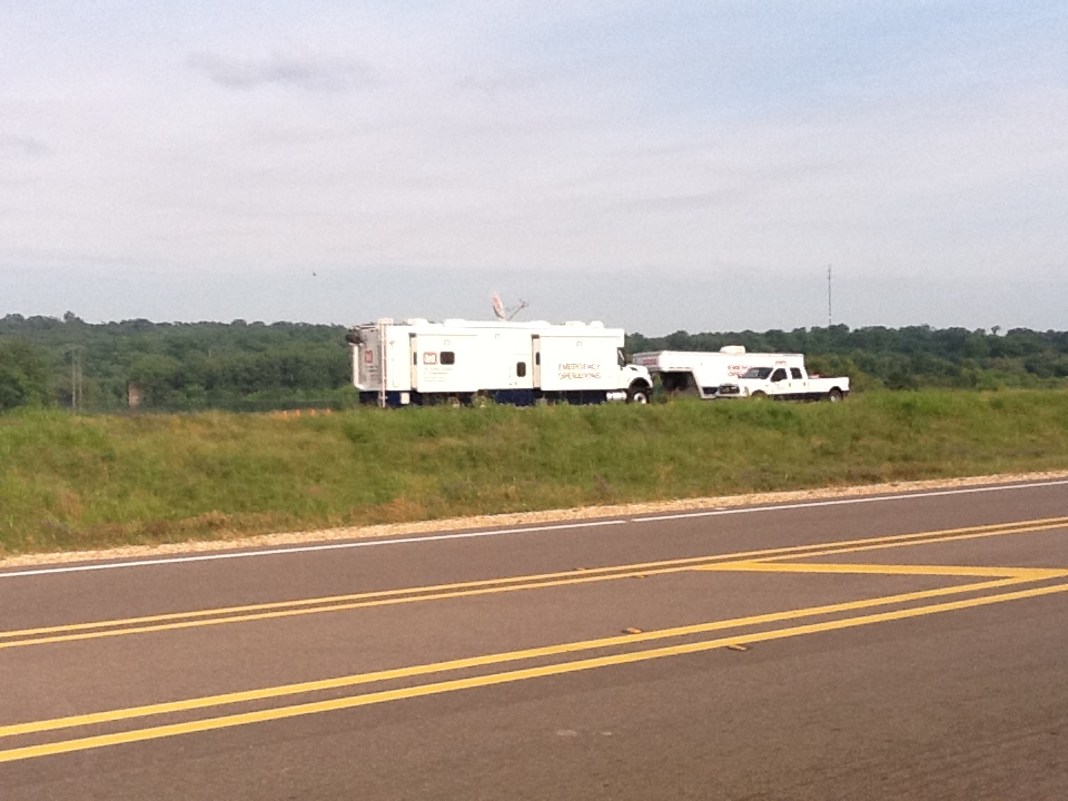
Corp of Engineers
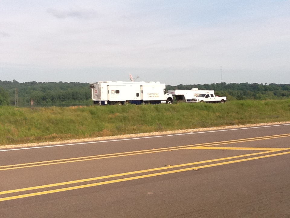
Corp of Engineers

Half Rack

Forest Floor

Fire Marshalls
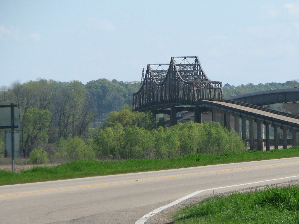
US 61 Yazoo River
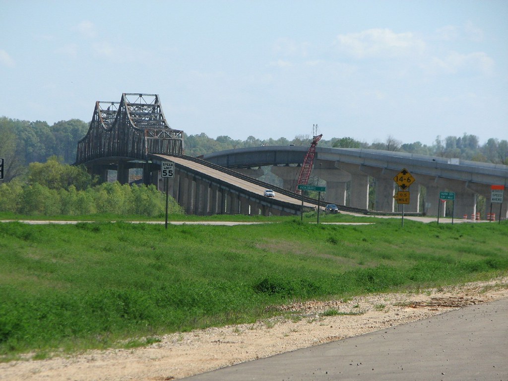
US 61 Yazoo River- North Approach
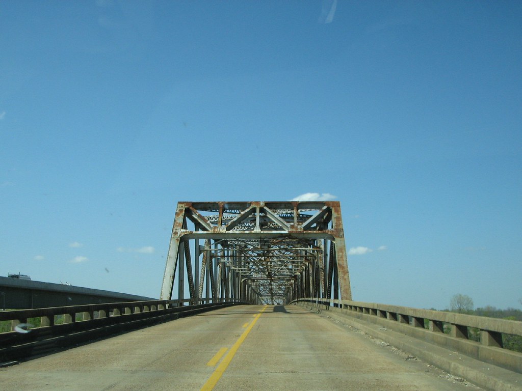
US 61 Yazoo River- North Portal
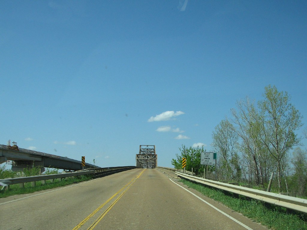
US 61 Yazoo River- North Approach
Topographic Map of Smithhart Rd, Vicksburg, MS, USA
Find elevation by address:

Places near Smithhart Rd, Vicksburg, MS, USA:
Youngton Rd, Vicksburg, MS, USA
Farr Rd, Bolton, MS, USA
Redwood Road
280 Martin Rd
Redwood
Satartia
MS-, Bentonia, MS, USA
E Coxs Ferry Rd, Bolton, MS, USA
7420 U.s Hwy 61
161 Pebble Beach Dr
101 St Andrews Dr
500 White Wolf Dr
Warren County
650 12 Mile Bayou Rd
US-80, Vicksburg, MS, USA
3975 Spanish Fort Rd
7047 Spanish Fort Rd
7047 Spanish Fort Rd
7047 Spanish Fort Rd
Spanish Fort Rd, Holly Bluff, MS, USA
Recent Searches:
- Elevation of Zimmer Trail, Pennsylvania, USA
- Elevation of 87 Kilmartin Ave, Bristol, CT, USA
- Elevation of Honghe National Nature Reserve, QP95+PJP, Tongjiang, Heilongjiang, Jiamusi, Heilongjiang, China
- Elevation of Hercules Dr, Colorado Springs, CO, USA
- Elevation of Szlak pieszy czarny, Poland
- Elevation of Griffing Blvd, Biscayne Park, FL, USA
- Elevation of Kreuzburger Weg 13, Düsseldorf, Germany
- Elevation of Gateway Blvd SE, Canton, OH, USA
- Elevation of East W.T. Harris Boulevard, E W.T. Harris Blvd, Charlotte, NC, USA
- Elevation of West Sugar Creek, Charlotte, NC, USA