Elevation of Smith River Falls, Oregon, USA
Location: United States > Oregon > Douglas County > Reedsport >
Longitude: -123.81871
Latitude: 43.7881736
Elevation: 50m / 164feet
Barometric Pressure: 101KPa
Elevation Map:
Satellite Map:
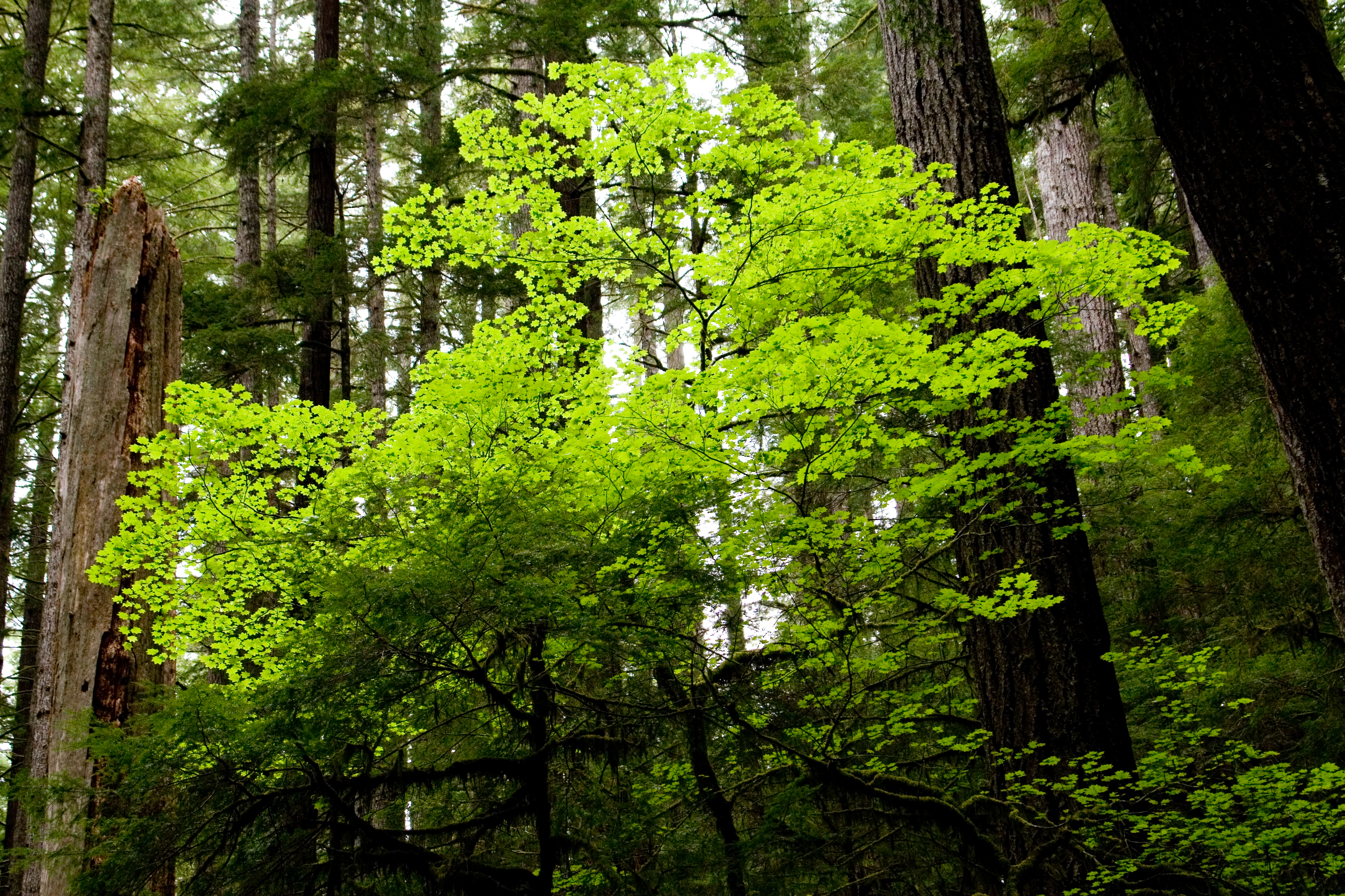
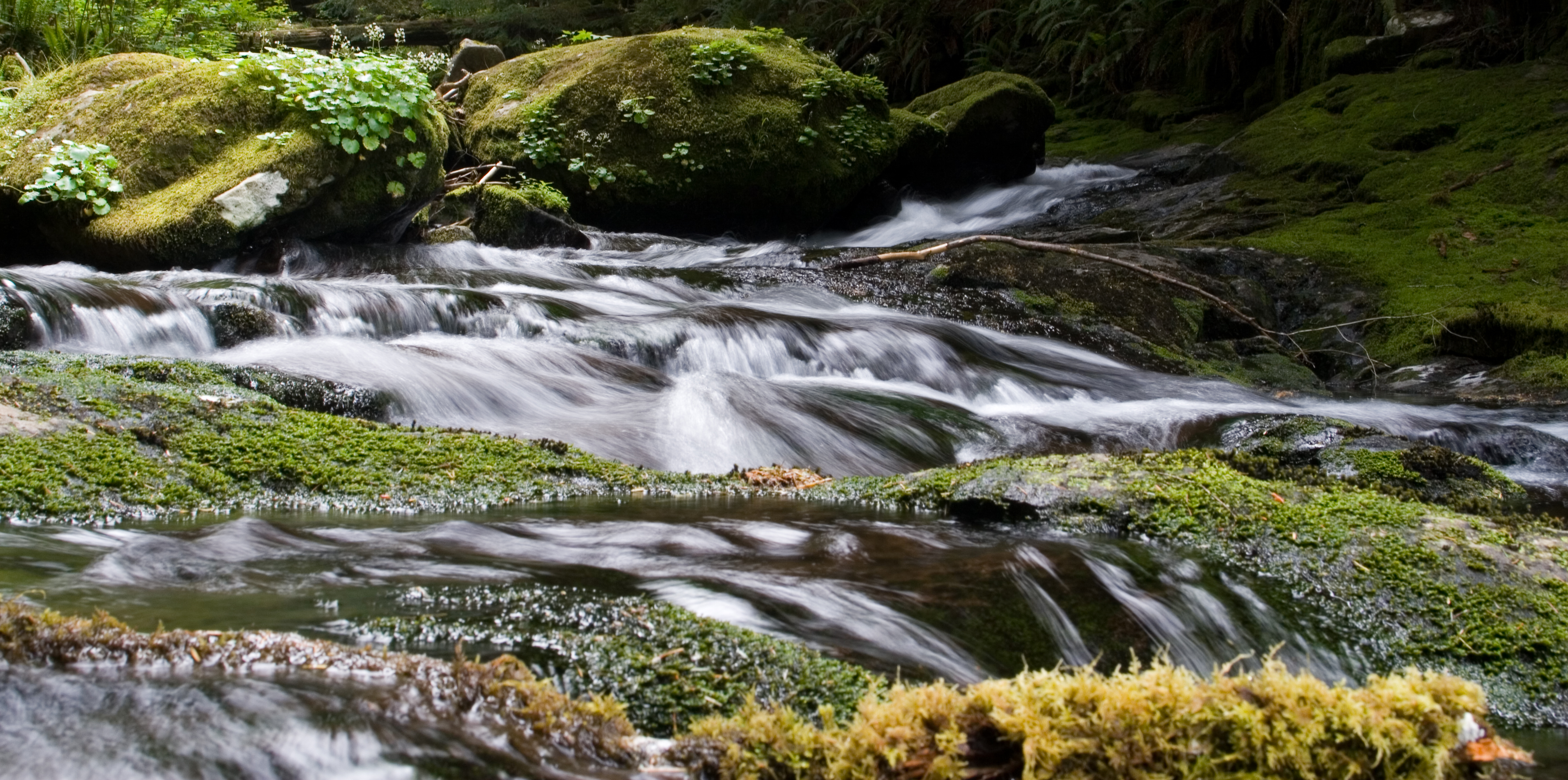
Related Photos:

Day 108: Lower Kentucky Falls
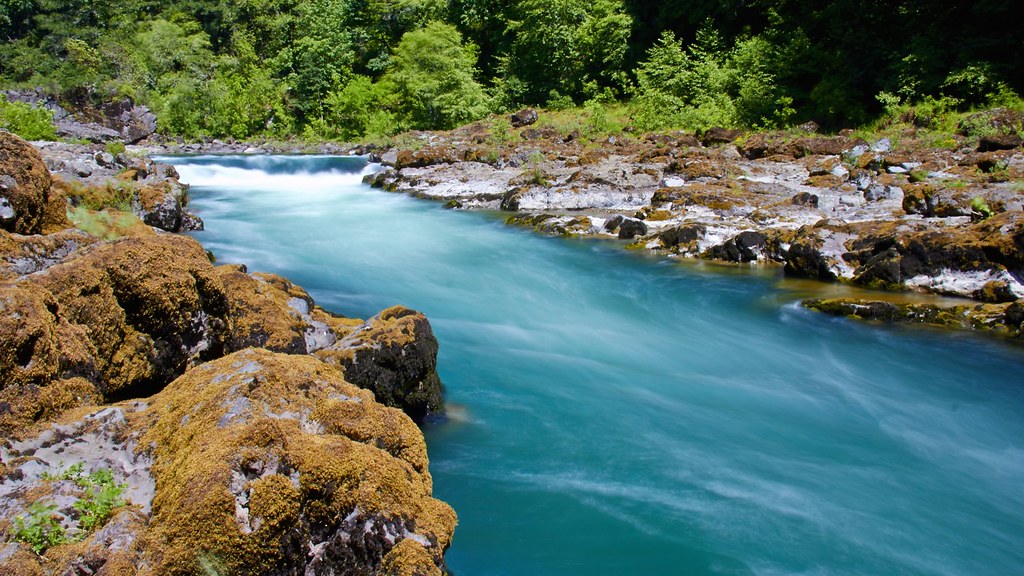
Umpqua River - DSC03835

Roscoe Shake
PIX-IMG_7302HDTV-Test-g

The Candy Slide

Essence Of The Flow

Saccharine Steps

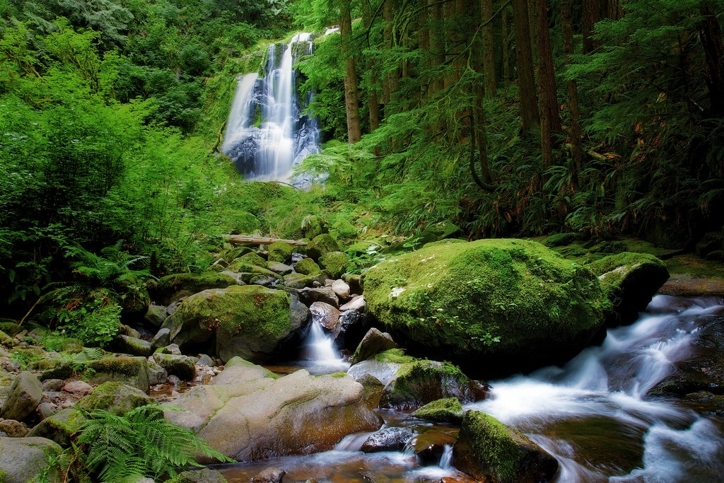
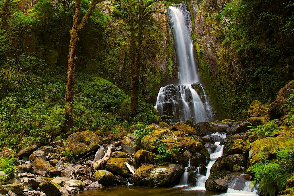
Lower Kentucky Falls, Oregon

Lower Kentucky Falls
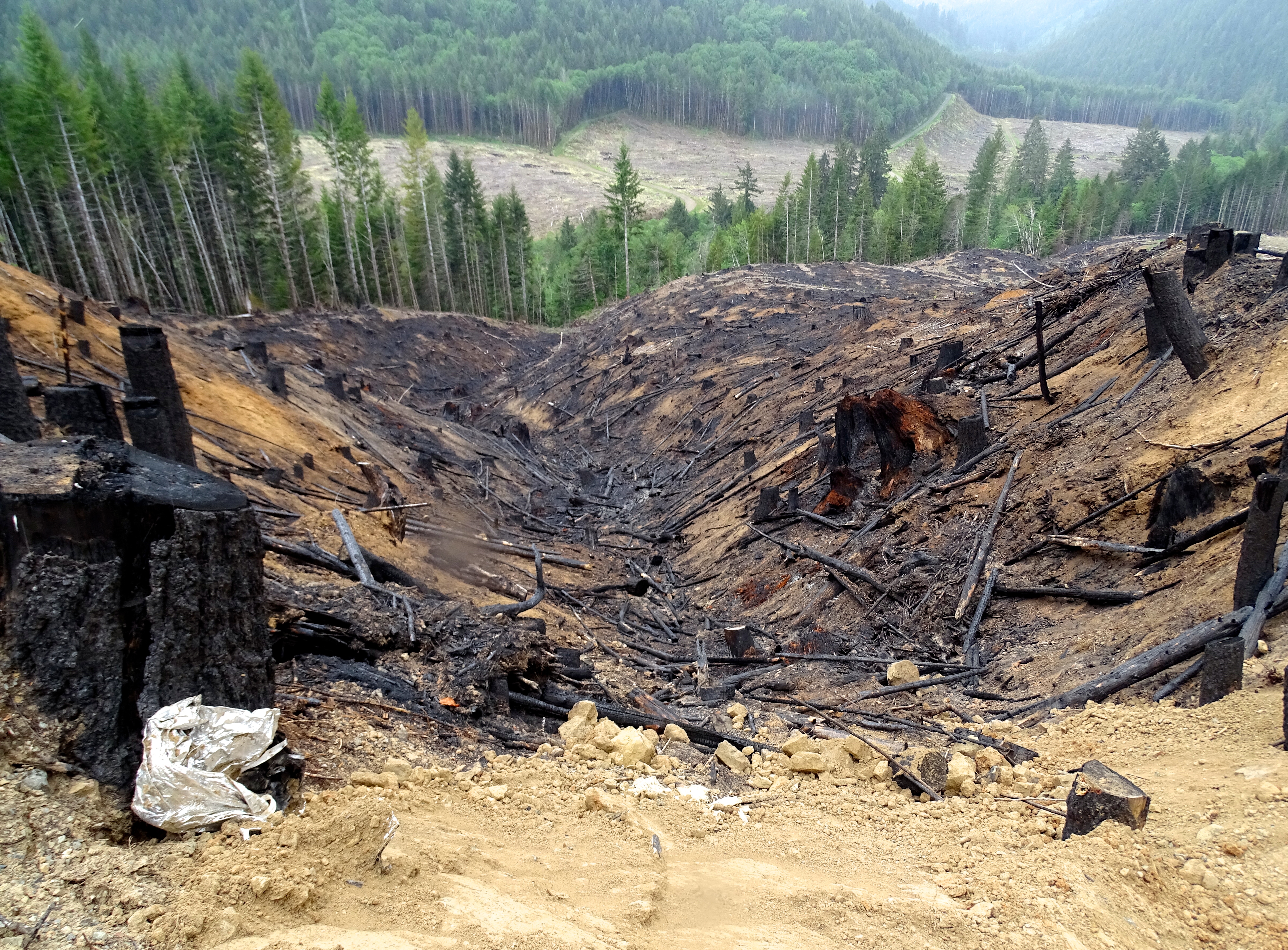
Entire 640-acre sections clearcut by timber barrons, and they are forgiven their harvest tax.

Zig Zag

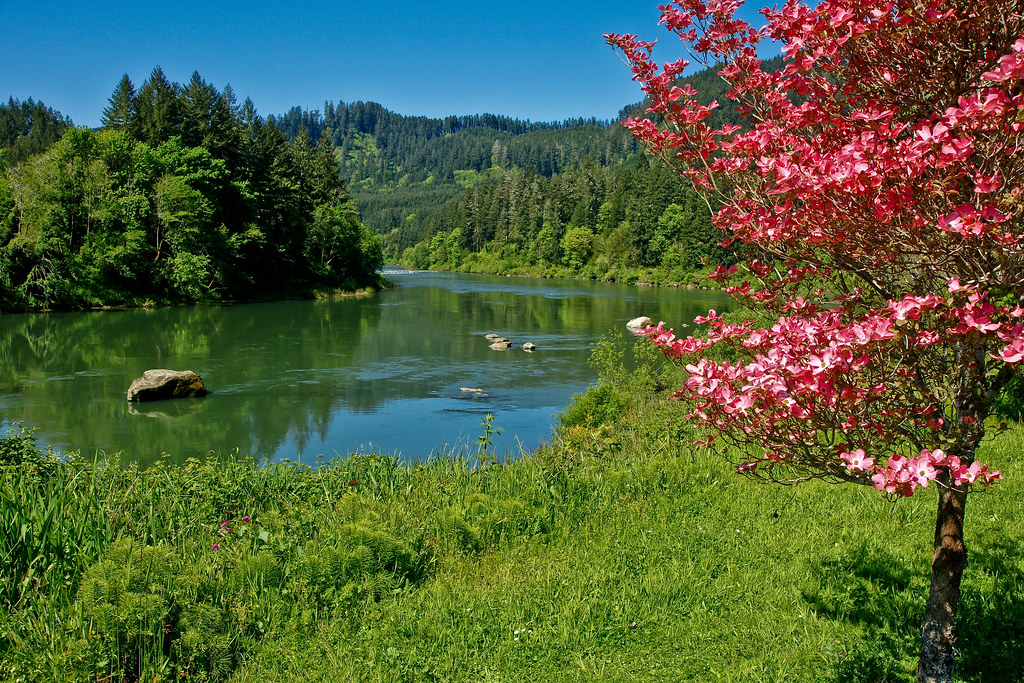
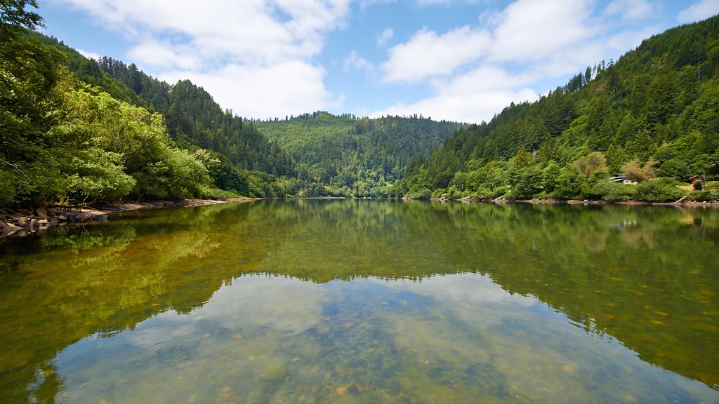
Umpqua River Bend

20070527-_MG_7712
Upper Kentucky Creek Falls, Oregon
20070527-_MG_7748

20070527-_MG_7787

PIX-IMG_7268HDTV-Test-g
Lower Kentucky Creek Falls, Oregon
PIX-IMG_7268HDTV-Test-g

North Fork Falls
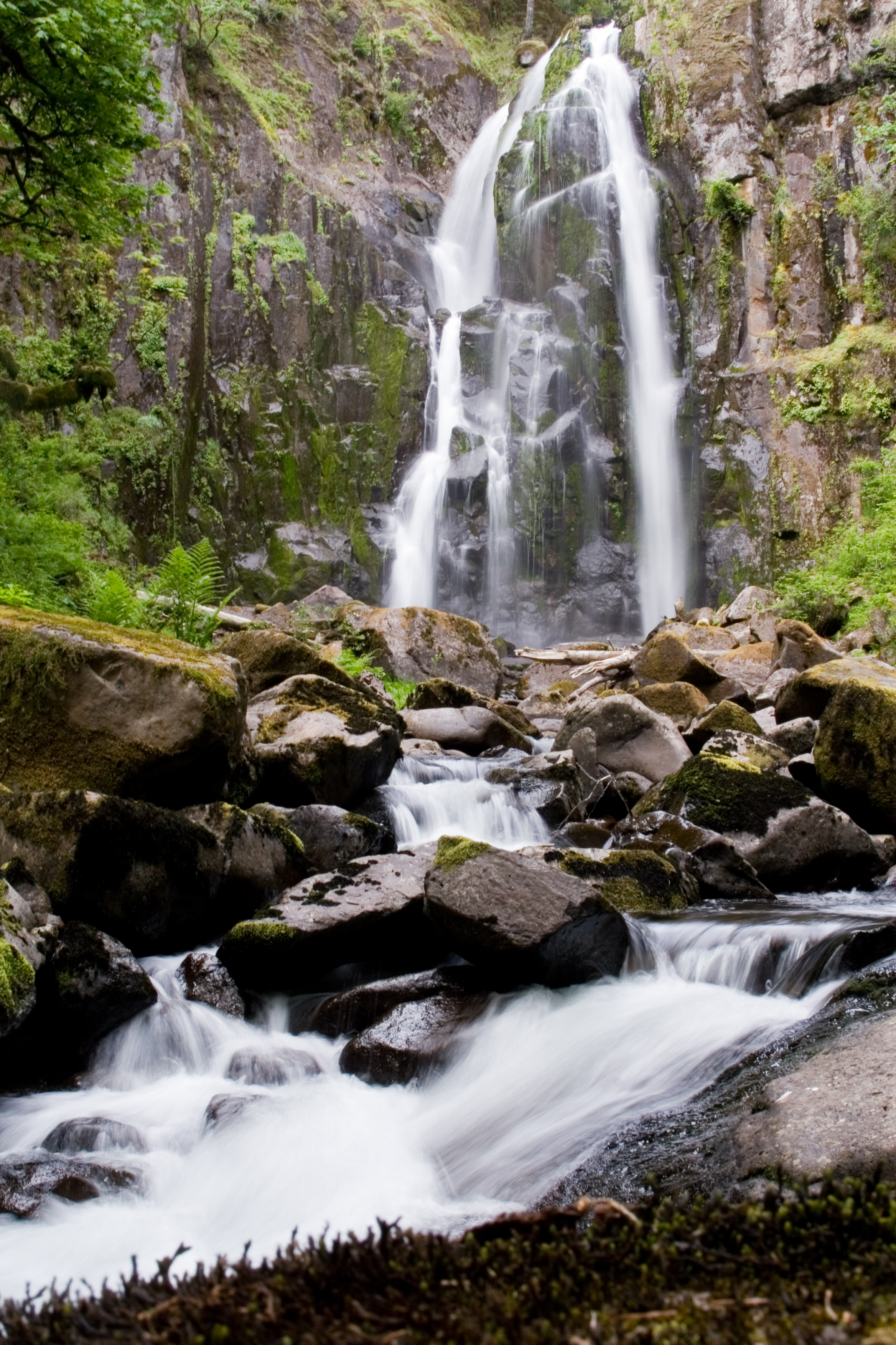
Smith River Falls, Oregon
20070527-_MG_7653
20070527-_MG_7689
Topographic Map of Smith River Falls, Oregon, USA
Find elevation by address:

Places near Smith River Falls, Oregon, USA:
North Fork
Smith River Store
OR-38, Scottsburg, OR, USA
5812 Lutsinger Creek Rd
OR-38, Scottsburg, OR, USA
275 Burchard Dr
1718 Lutsinger Creek Rd
498 Golden Dr
250 Long Prairie Ln
Scottsburg
Scottsburg
Scottsburg
Scottsburg
Scottsburg
Scottsburg
Scottsburg
Scottsburg
Scottsburg
Scottsburg
Scottsburg
Recent Searches:
- Elevation of Jalan Senandin, Lutong, Miri, Sarawak, Malaysia
- Elevation of Bilohirs'k
- Elevation of 30 Oak Lawn Dr, Barkhamsted, CT, USA
- Elevation of Luther Road, Luther Rd, Auburn, CA, USA
- Elevation of Unnamed Road, Respublika Severnaya Osetiya — Alaniya, Russia
- Elevation of Verkhny Fiagdon, North Ossetia–Alania Republic, Russia
- Elevation of F. Viola Hiway, San Rafael, Bulacan, Philippines
- Elevation of Herbage Dr, Gulfport, MS, USA
- Elevation of Lilac Cir, Haldimand, ON N3W 2G9, Canada
- Elevation of Harrod Branch Road, Harrod Branch Rd, Kentucky, USA