Elevation of Smith Logging Rd, Oak Run, CA, USA
Location: United States > California > Shasta County > Oak Run >
Longitude: -121.91489
Latitude: 40.7153222
Elevation: 972m / 3189feet
Barometric Pressure: 90KPa
Elevation Map:
Satellite Map:
Related Photos:
Ingot's Afterthought Mine [03.30.13]
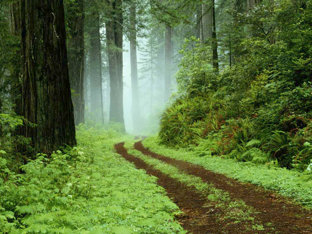
A forest path in Redwoods State Park, California.

A forest path in Redwoods State Park, California.

Sandhill Skipper

Sandhill Skipper

Fairytale Land [03.30.13]

Kilarc Reservoir

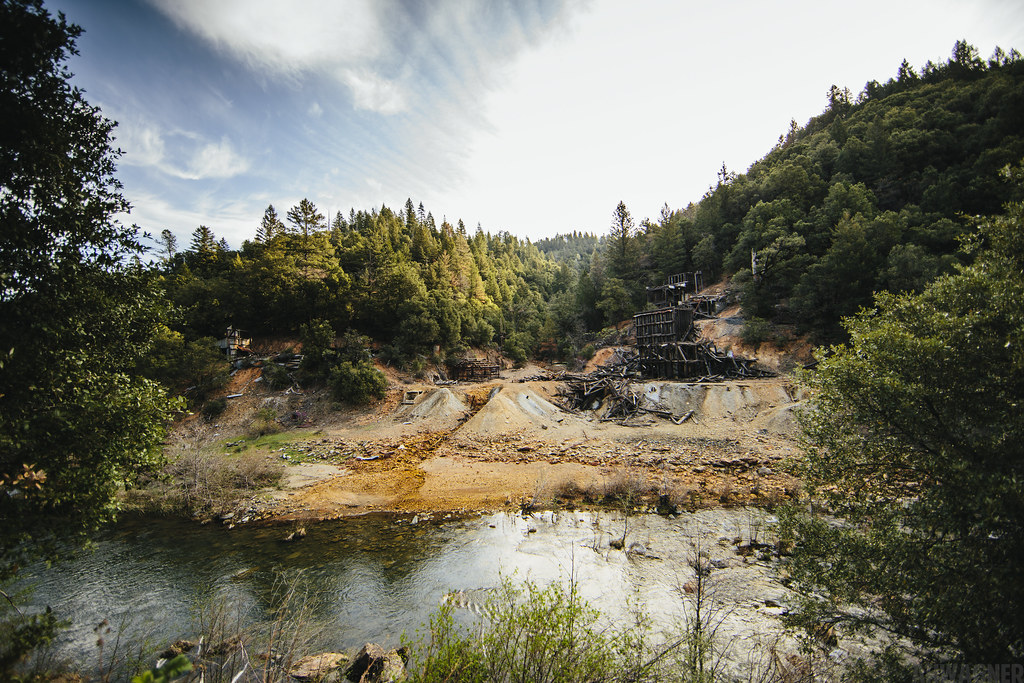
Remnants of the Past: A California Mining Historical Piece (Part 6)

_8210034.NEF
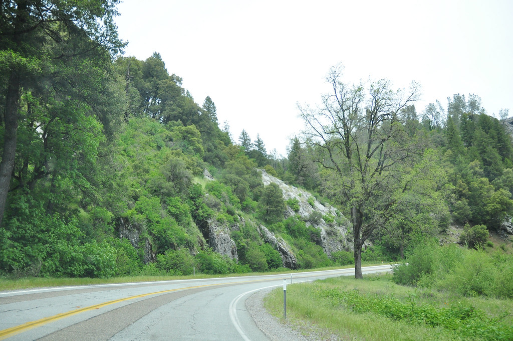
Route 299

Secret Turkey Spot- decoy in place
Topographic Map of Smith Logging Rd, Oak Run, CA, USA
Find elevation by address:

Places near Smith Logging Rd, Oak Run, CA, USA:
30057 Smith Logging Rd
30057 Smith Logging Rd
30057 Rl Smith Logging Rd
30303 Fremont Way
30303 Fremont Way
14788 Phillips Rd
14681 Fern Rd E
13353 Fern Rd
15130 Sherwood Forest Rd
15130 Sherwood Forest Rd
15130 Sherwood Forest Rd
15130 Sherwood Forrest Rd
15130 Sherwood Forrest Rd
15130 Sherwood Forrest Rd
17167 Phillips Rd
12855 Fern Rd
12847 Fern Rd
12645 Fern Rd
16211 Buzzard Roost Rd
31625 Grindlay Rd
Recent Searches:
- Elevation of Zimmer Trail, Pennsylvania, USA
- Elevation of 87 Kilmartin Ave, Bristol, CT, USA
- Elevation of Honghe National Nature Reserve, QP95+PJP, Tongjiang, Heilongjiang, Jiamusi, Heilongjiang, China
- Elevation of Hercules Dr, Colorado Springs, CO, USA
- Elevation of Szlak pieszy czarny, Poland
- Elevation of Griffing Blvd, Biscayne Park, FL, USA
- Elevation of Kreuzburger Weg 13, Düsseldorf, Germany
- Elevation of Gateway Blvd SE, Canton, OH, USA
- Elevation of East W.T. Harris Boulevard, E W.T. Harris Blvd, Charlotte, NC, USA
- Elevation of West Sugar Creek, Charlotte, NC, USA