Elevation of Smiley, TX, USA
Location: United States > Texas > Gonzales County >
Longitude: -97.635828
Latitude: 29.2677433
Elevation: 98m / 322feet
Barometric Pressure: 100KPa
Elevation Map:
Satellite Map:
Related Photos:
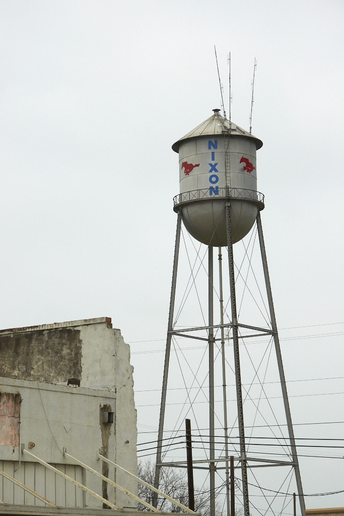
Nixon Mustangs

Hair House

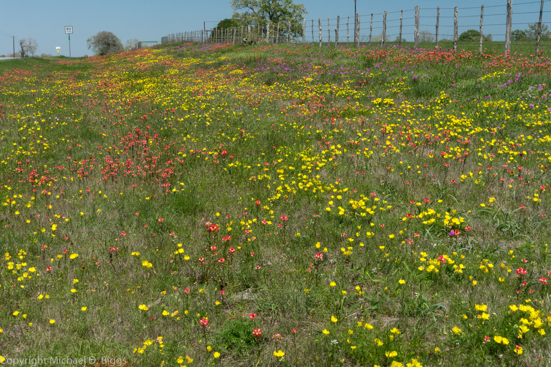
Embracing the Fog

Sunset at the ranch

scout2-23
scout2-22

scout2-18

scout2-19
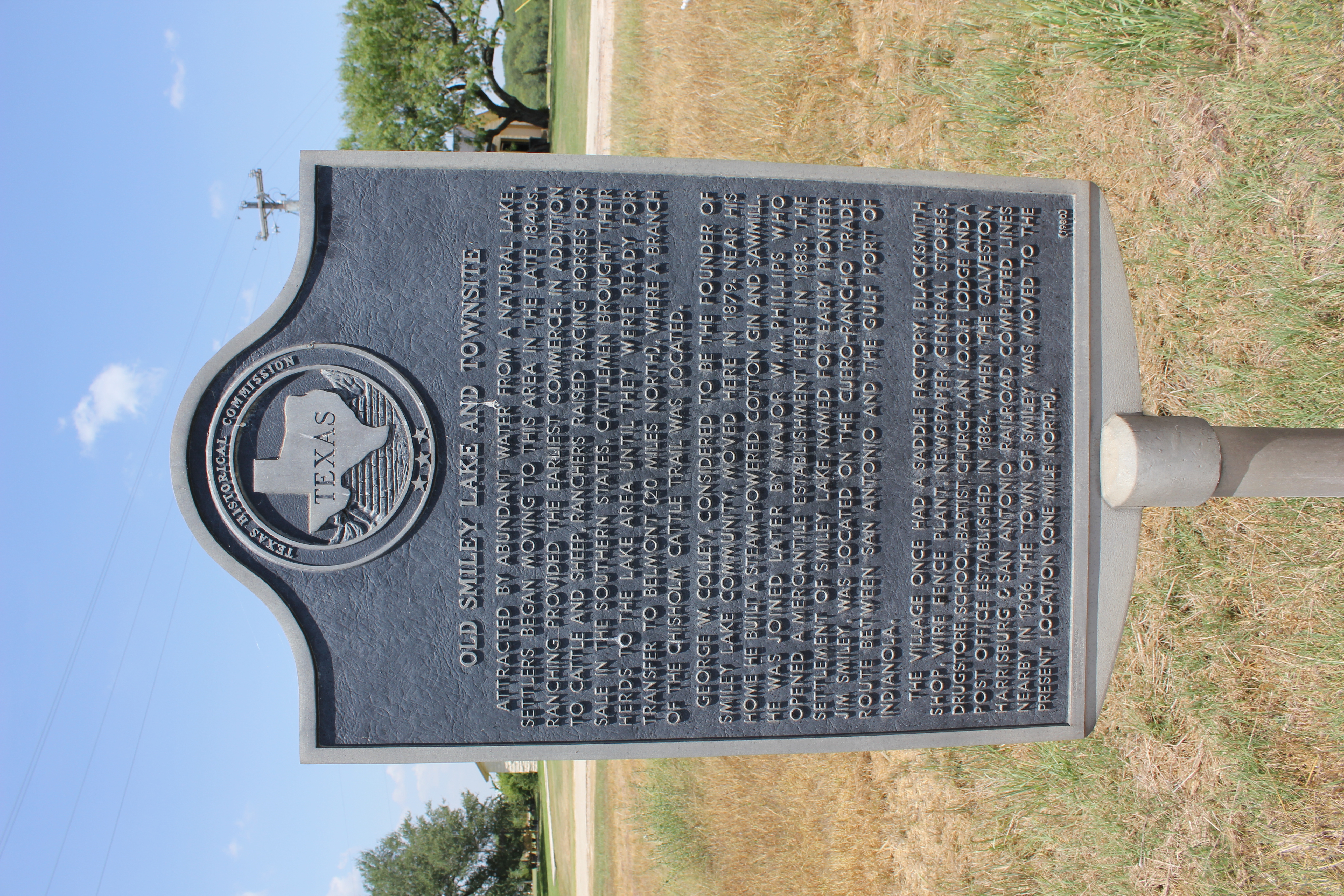
Old Smiley Lake and Townsite, Smiley, Texas Historical Marker
scout2-15

scout2-17
scout2-21
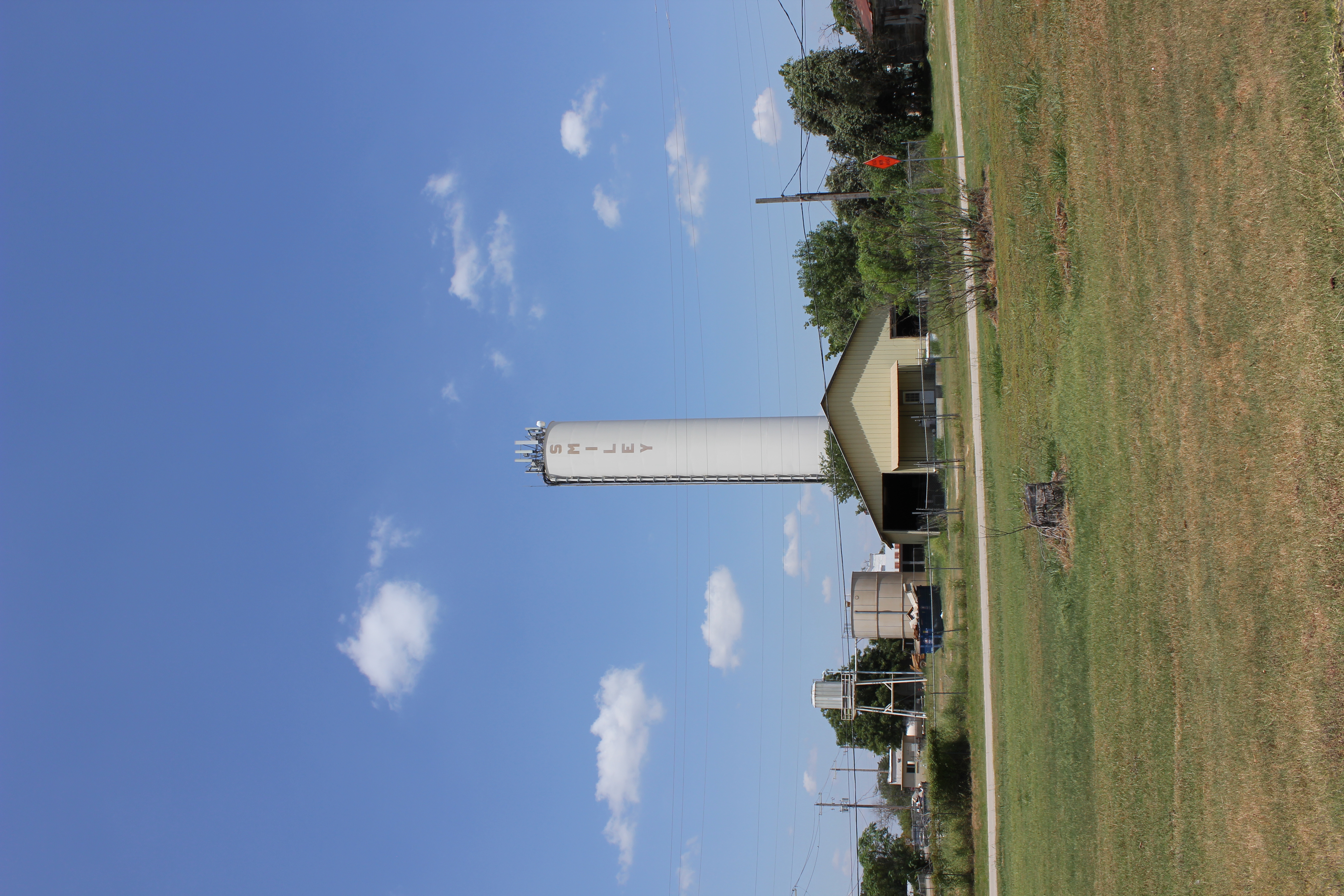
Smiley Watertower
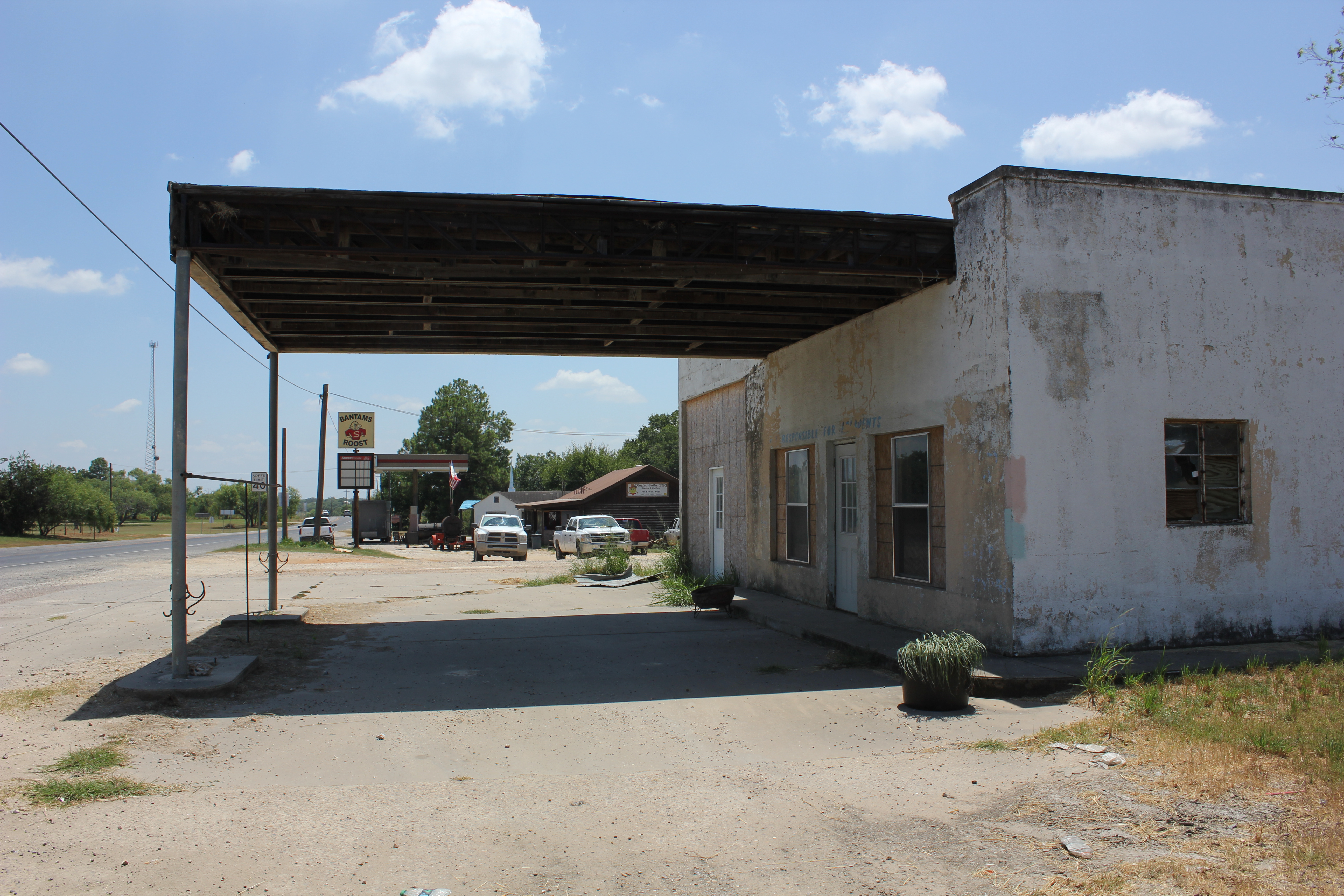
No Fuel
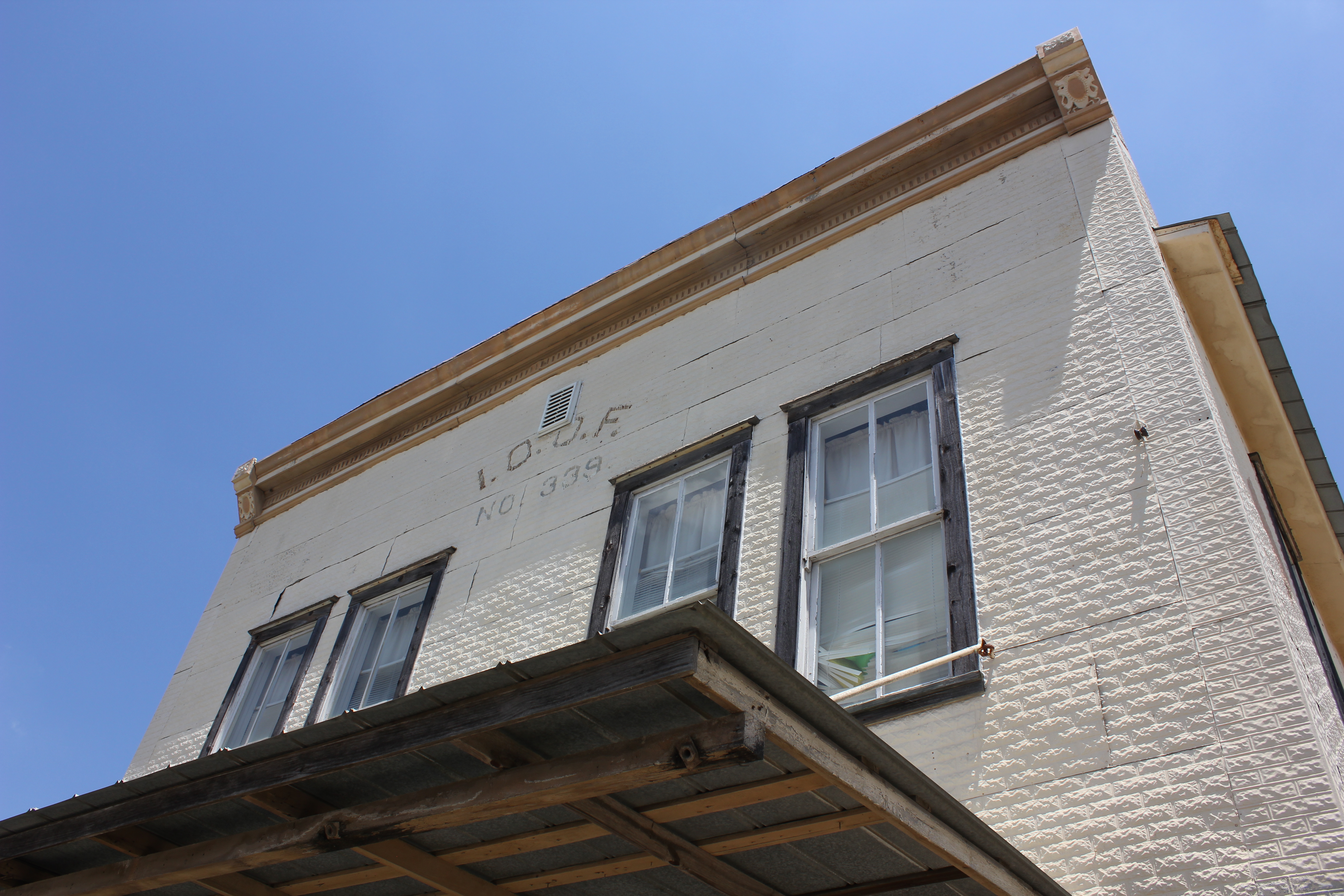
Smiley I.O.O.F. Lodge

Out of Business

WP_20150428_002 (2)

nokia lumia one year of photos january 27th 2014 064

photo 4.1
photo 2
photo 16

photo 13.2
photo 11

photo 1
Topographic Map of Smiley, TX, USA
Find elevation by address:

Places in Smiley, TX, USA:
Places near Smiley, TX, USA:
FM, Smiley, TX, USA
Nixon
FM, Leesville, TX, USA
Westhoff
1653 Co Rd 105
5628 Fm1116
Gillett
Farm To Market 1681
Gonzales County
Lake Wood Recreation Area
Ecleto
1035 Red Rd
FM, Ecleto, TX, USA
Cr, Stockdale, TX, USA
272 Mesa Trail
Ecleto, TX, USA
410 Village Dr
410 Village Dr
Gonzales
St Lawrence St, Gonzales, TX, USA
Recent Searches:
- Elevation of 7 Waterfall Way, Tomball, TX, USA
- Elevation of SW 57th Ave, Portland, OR, USA
- Elevation of Crocker Dr, Vacaville, CA, USA
- Elevation of Pu Ngaol Community Meeting Hall, HWHM+3X7, Krong Saen Monourom, Cambodia
- Elevation of Royal Ontario Museum, Queens Park, Toronto, ON M5S 2C6, Canada
- Elevation of Groblershoop, South Africa
- Elevation of Power Generation Enterprises | Industrial Diesel Generators, Oak Ave, Canyon Country, CA, USA
- Elevation of Chesaw Rd, Oroville, WA, USA
- Elevation of N, Mt Pleasant, UT, USA
- Elevation of 6 Rue Jules Ferry, Beausoleil, France