Elevation of Slocomb, AL, USA
Location: United States > Alabama > Geneva County >
Longitude: -85.594378
Latitude: 31.1082335
Elevation: 87m / 285feet
Barometric Pressure: 100KPa
Elevation Map:
Satellite Map:
Related Photos:

My photo is the white border, Montana Moutain Views

Alabama 2014
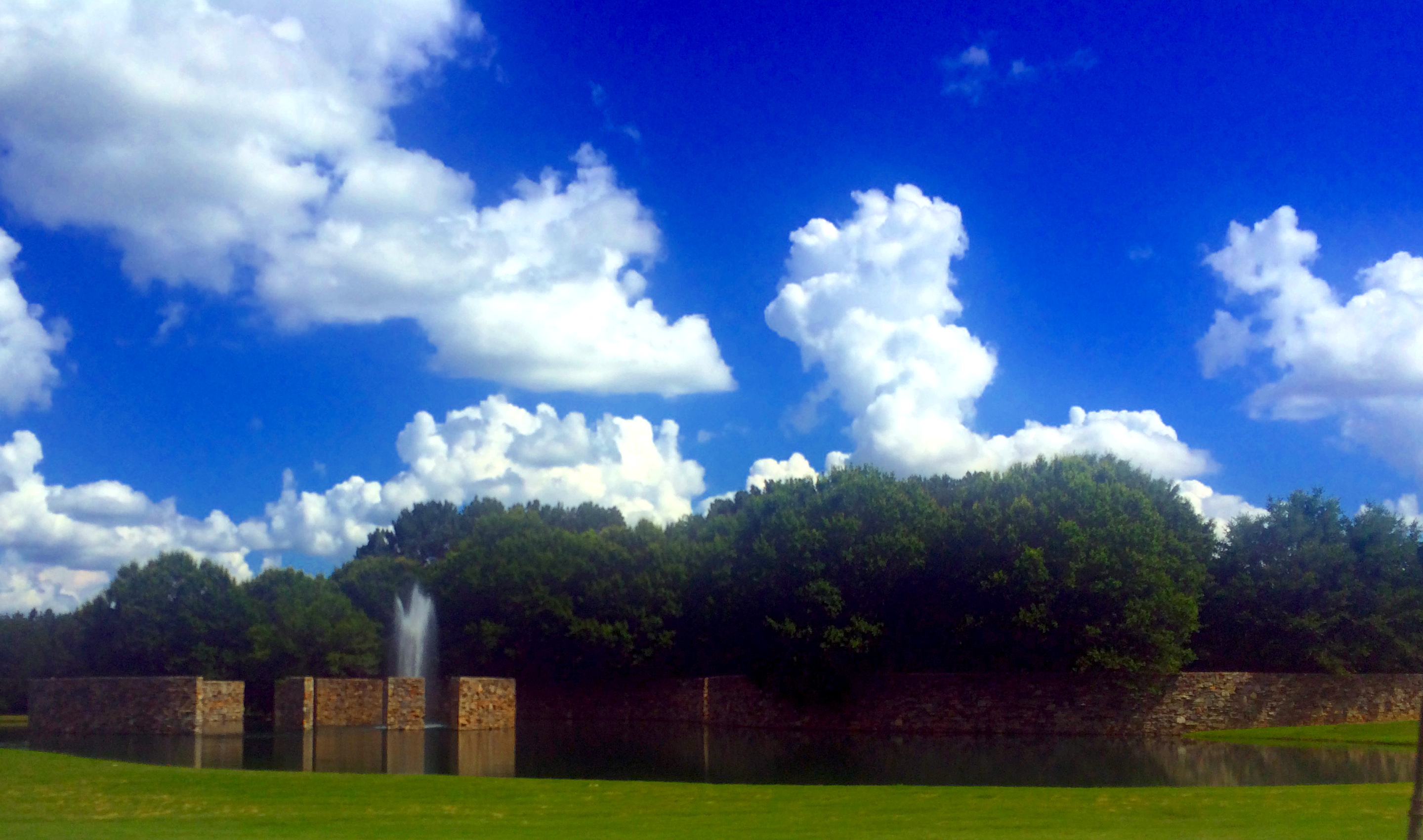
Ground Water reaching for Sky Water
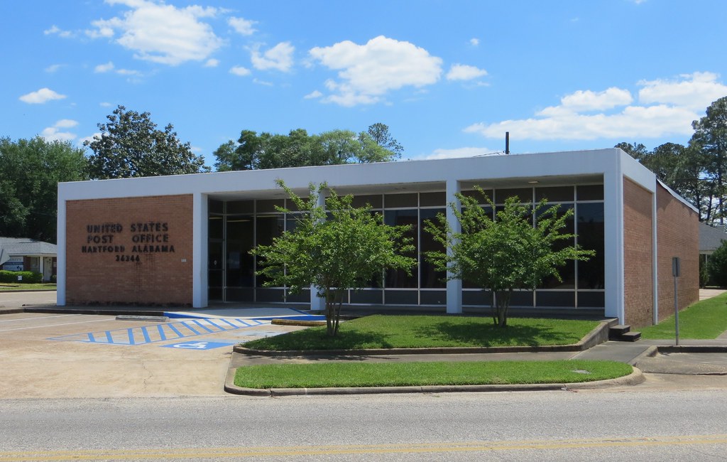
Hartford AL 36344
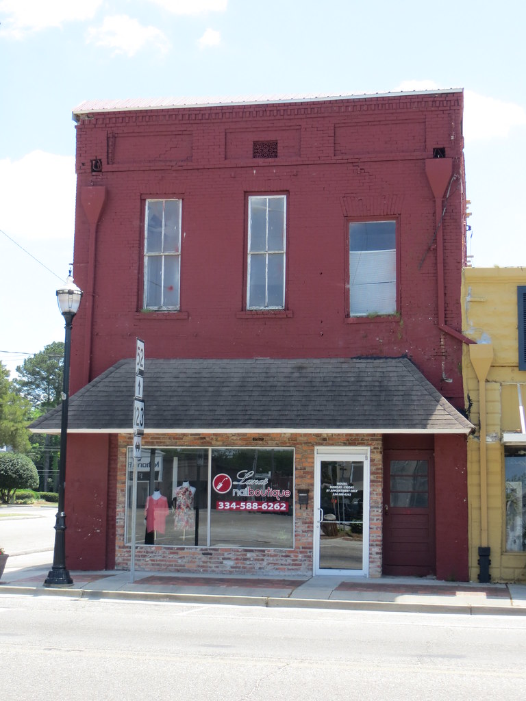
Commercial Hartford AL
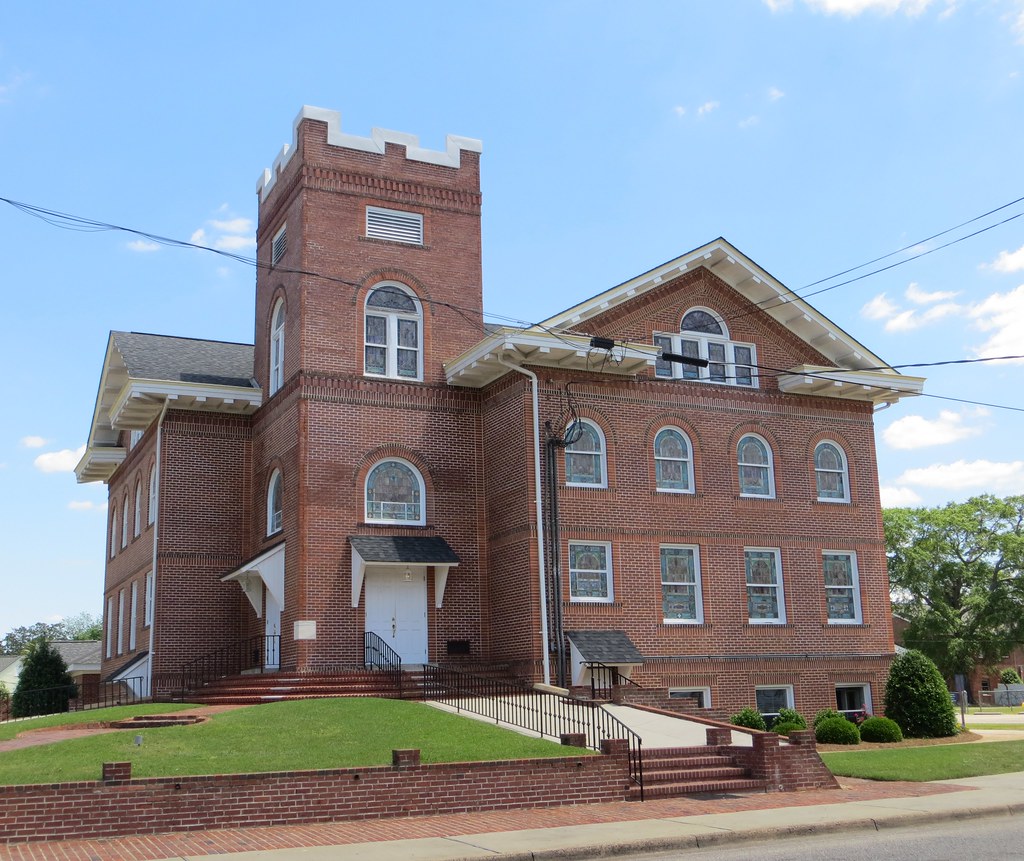
First UMC Hartford AL

National Peanut Festival

National Peanut Festival

In The Town Square of Hartford, Alabama

Mildred "Millie" Nicole MacConnell | Hartford, Alabama #igalabama #niece #newborn #redhead #greeneyes #prouduncle
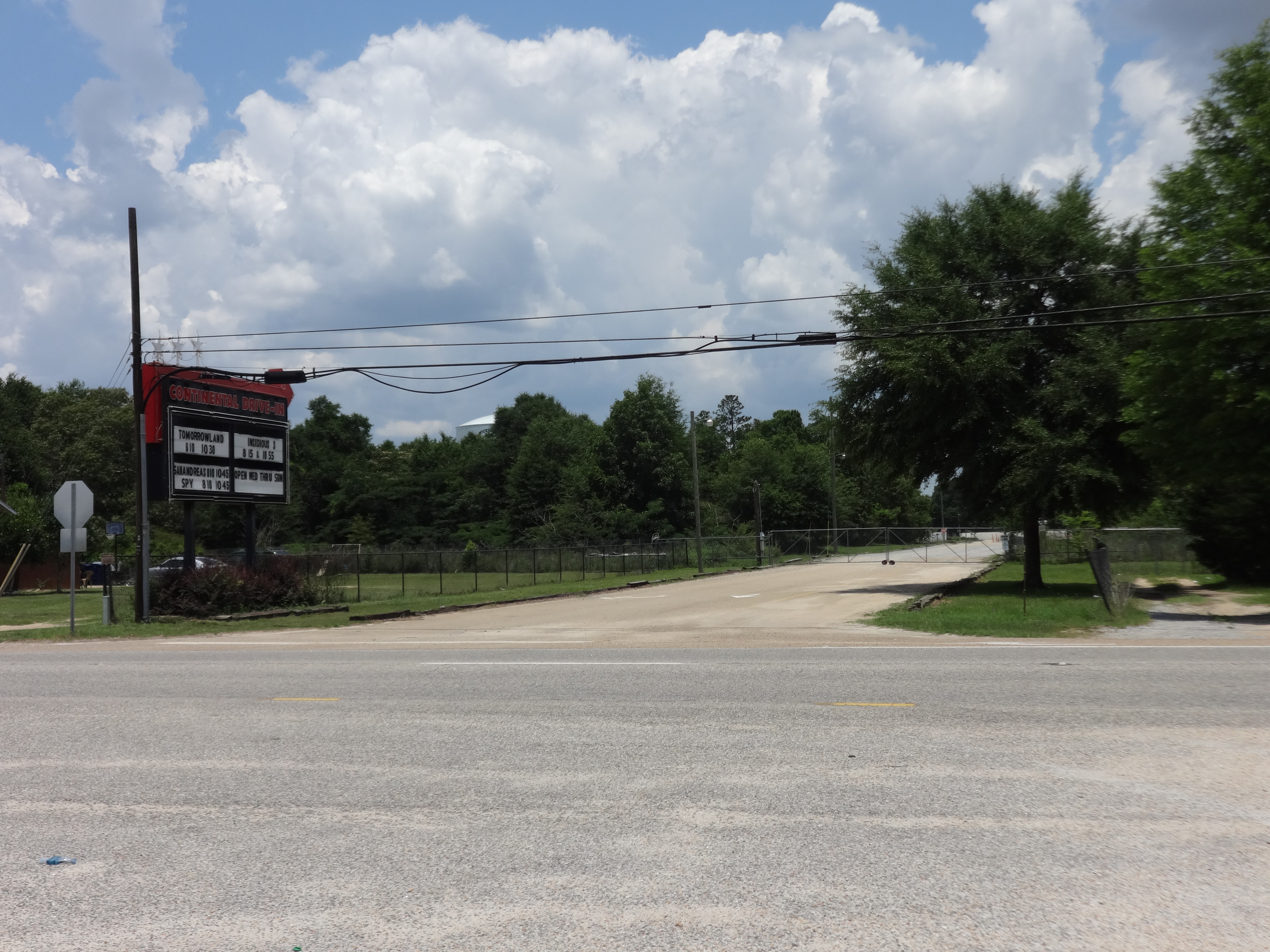
Continental Drive-In, US84, Houston County
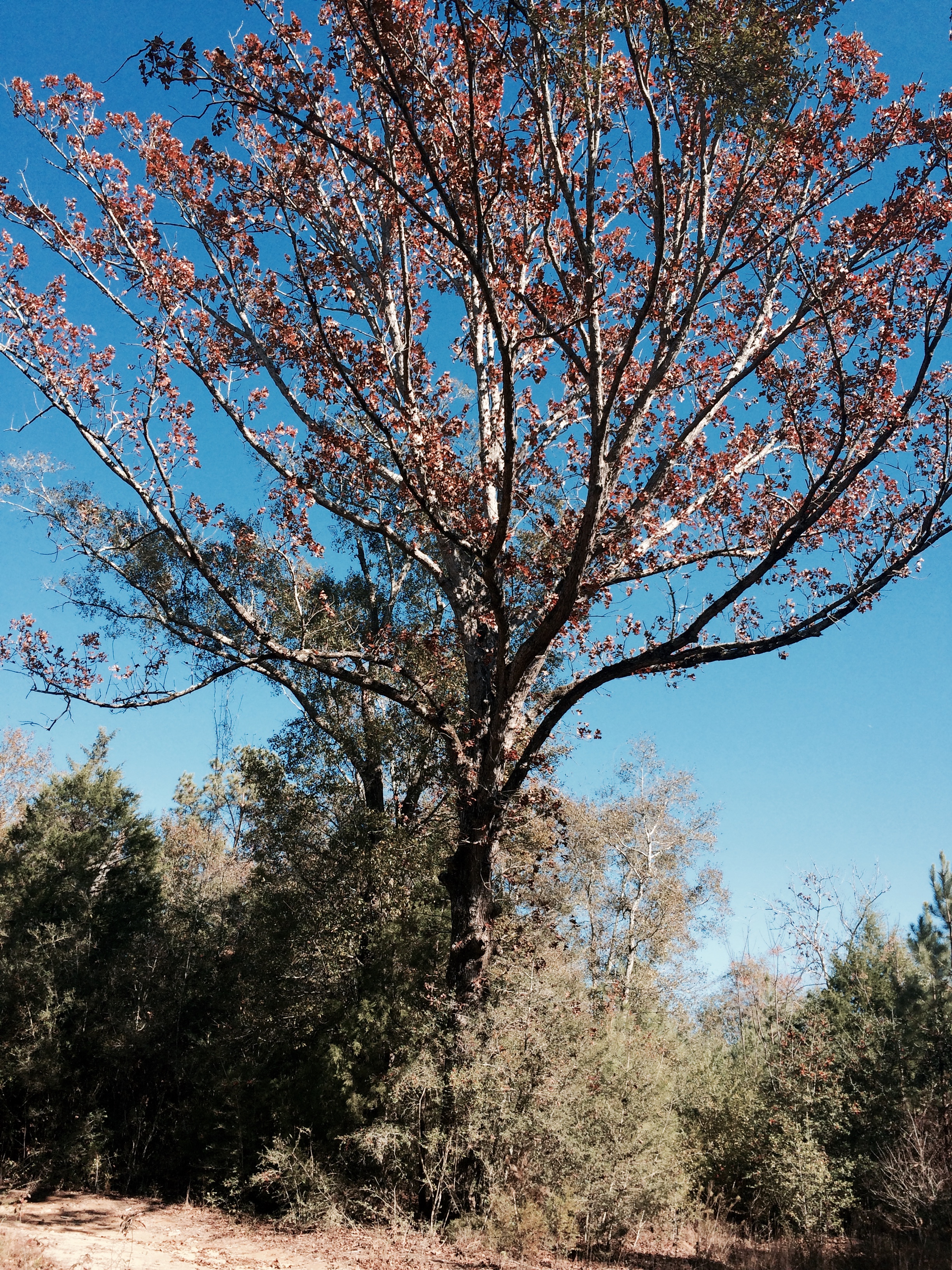
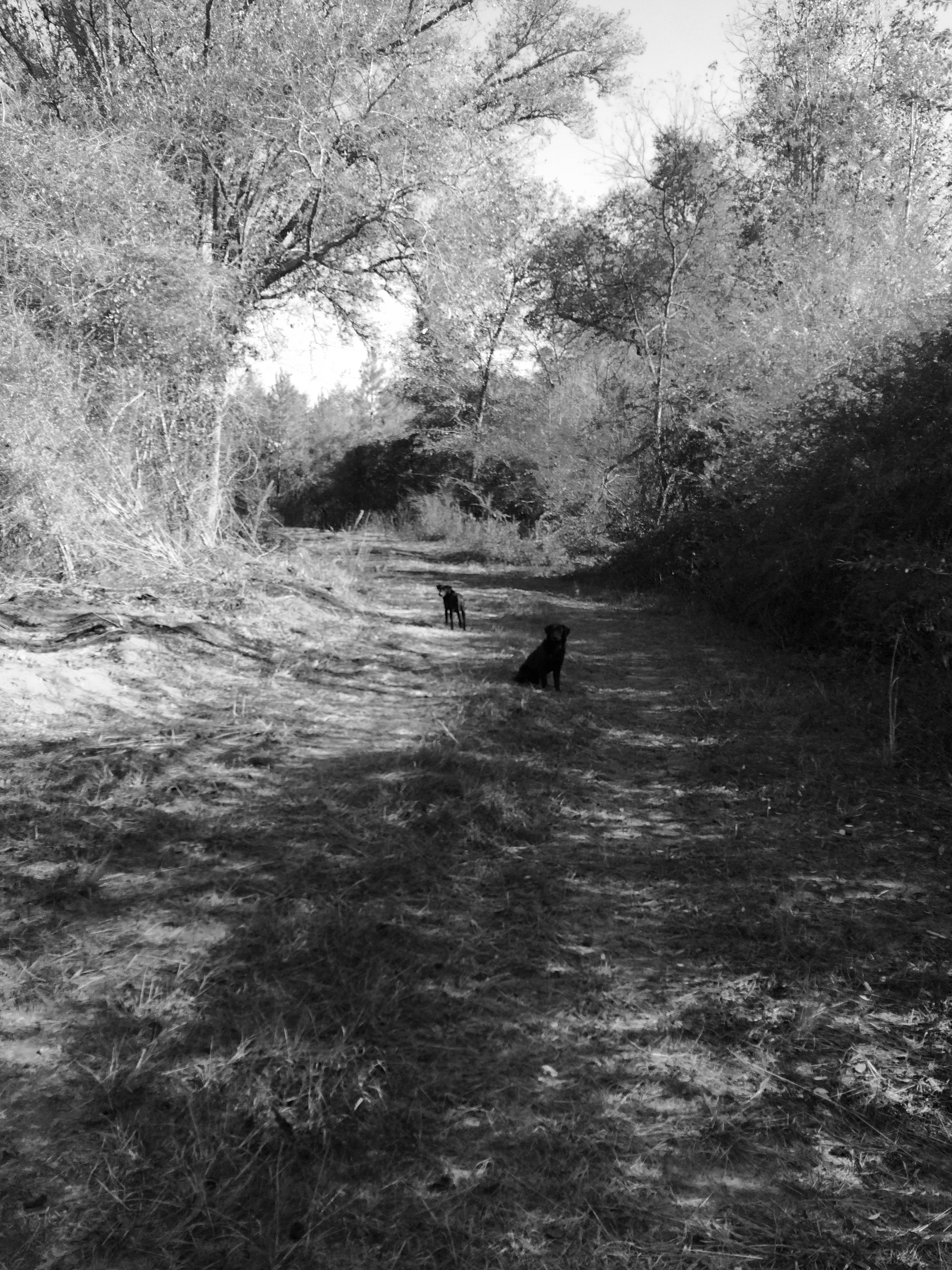
Alabama 2014
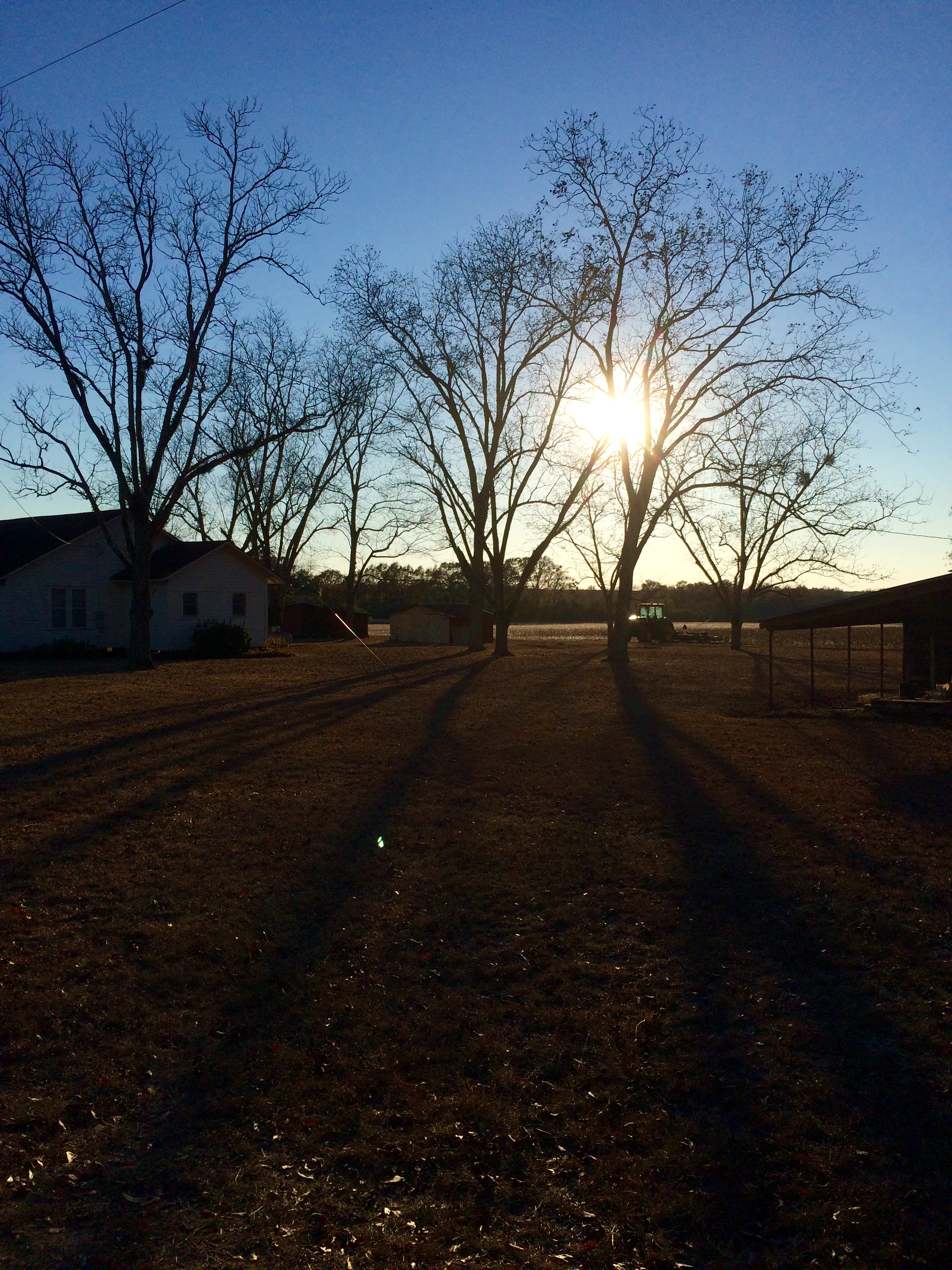
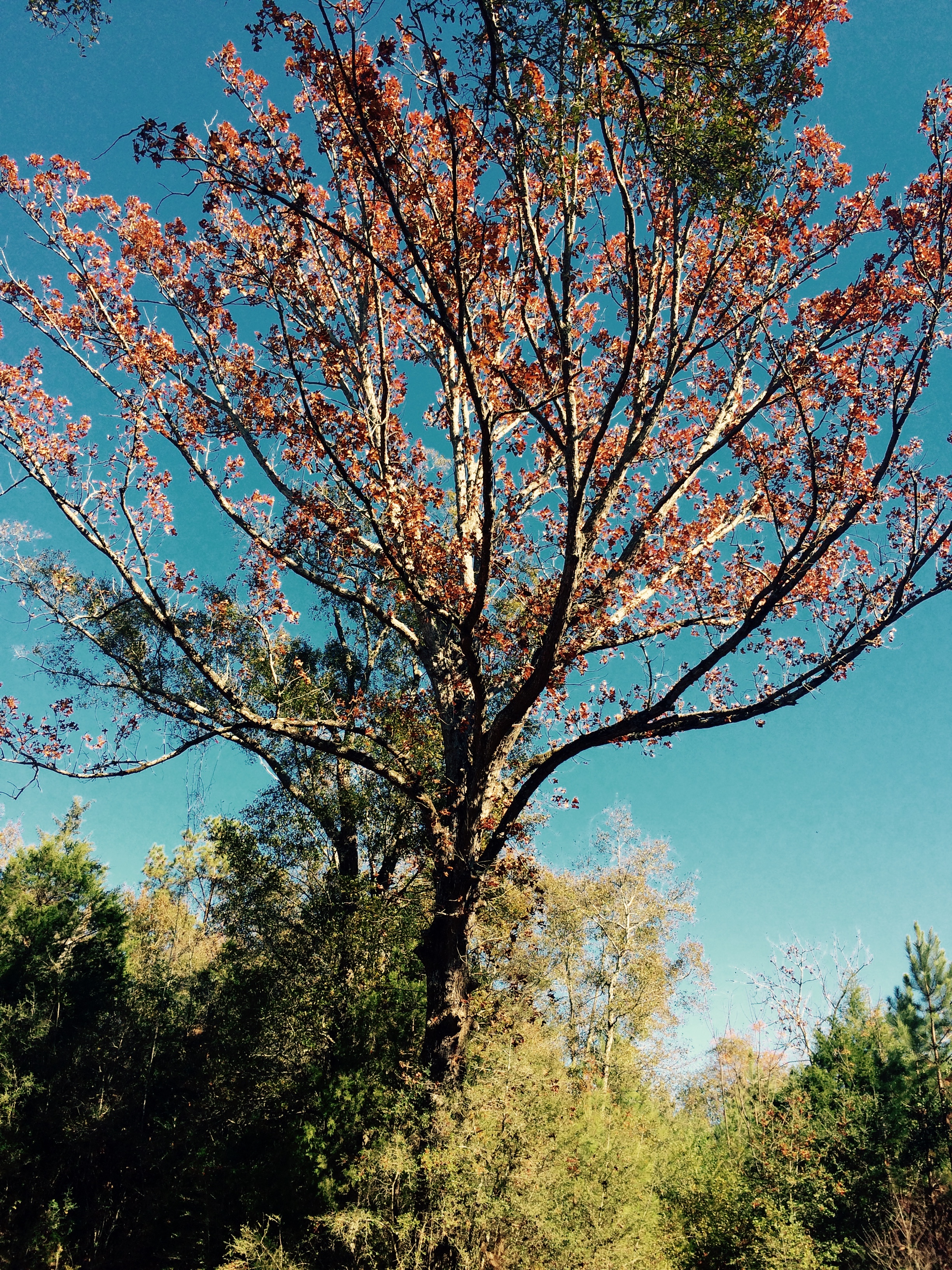
Alabama 2014
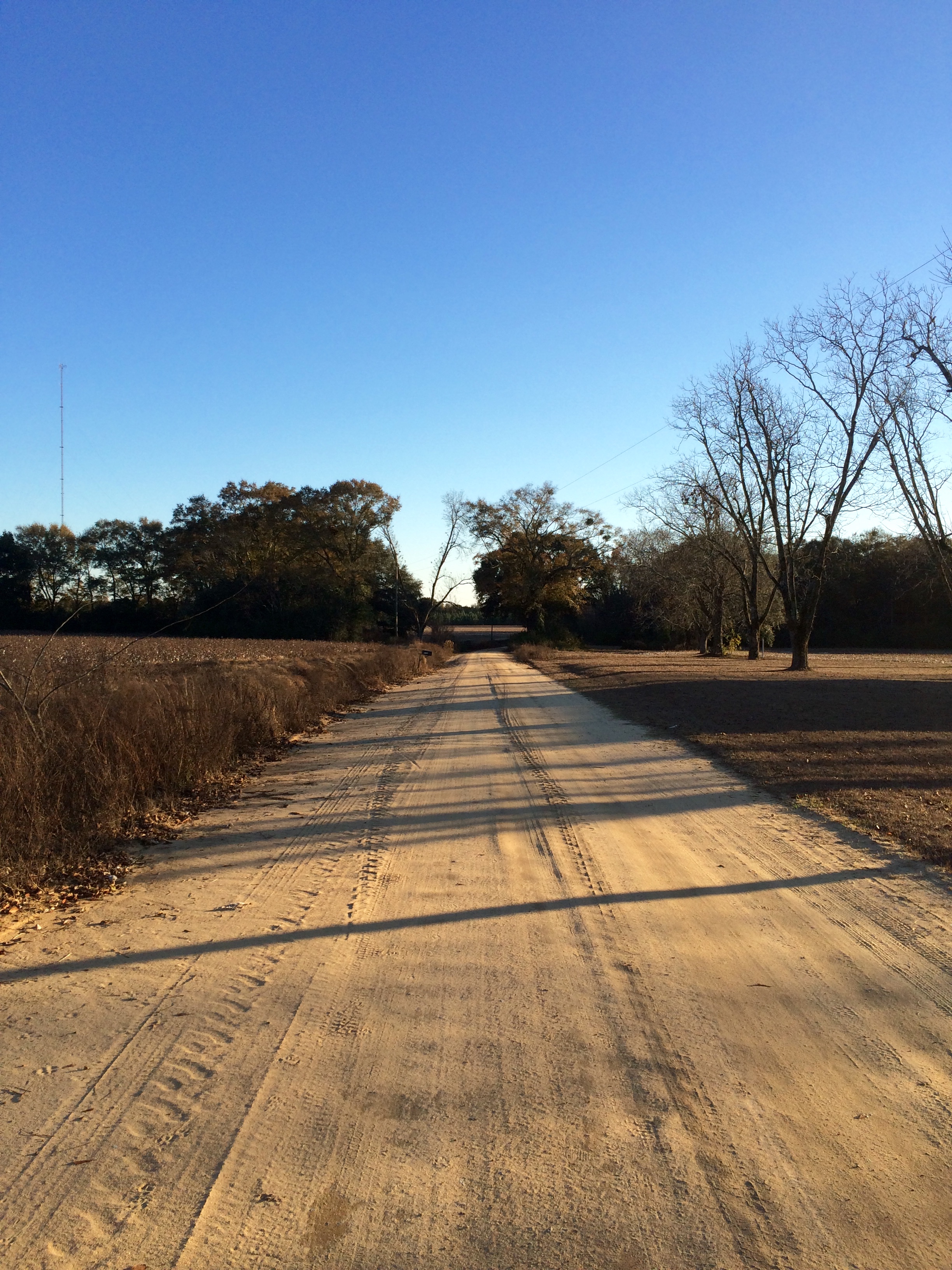
Alabama 2014
Alabama 2014

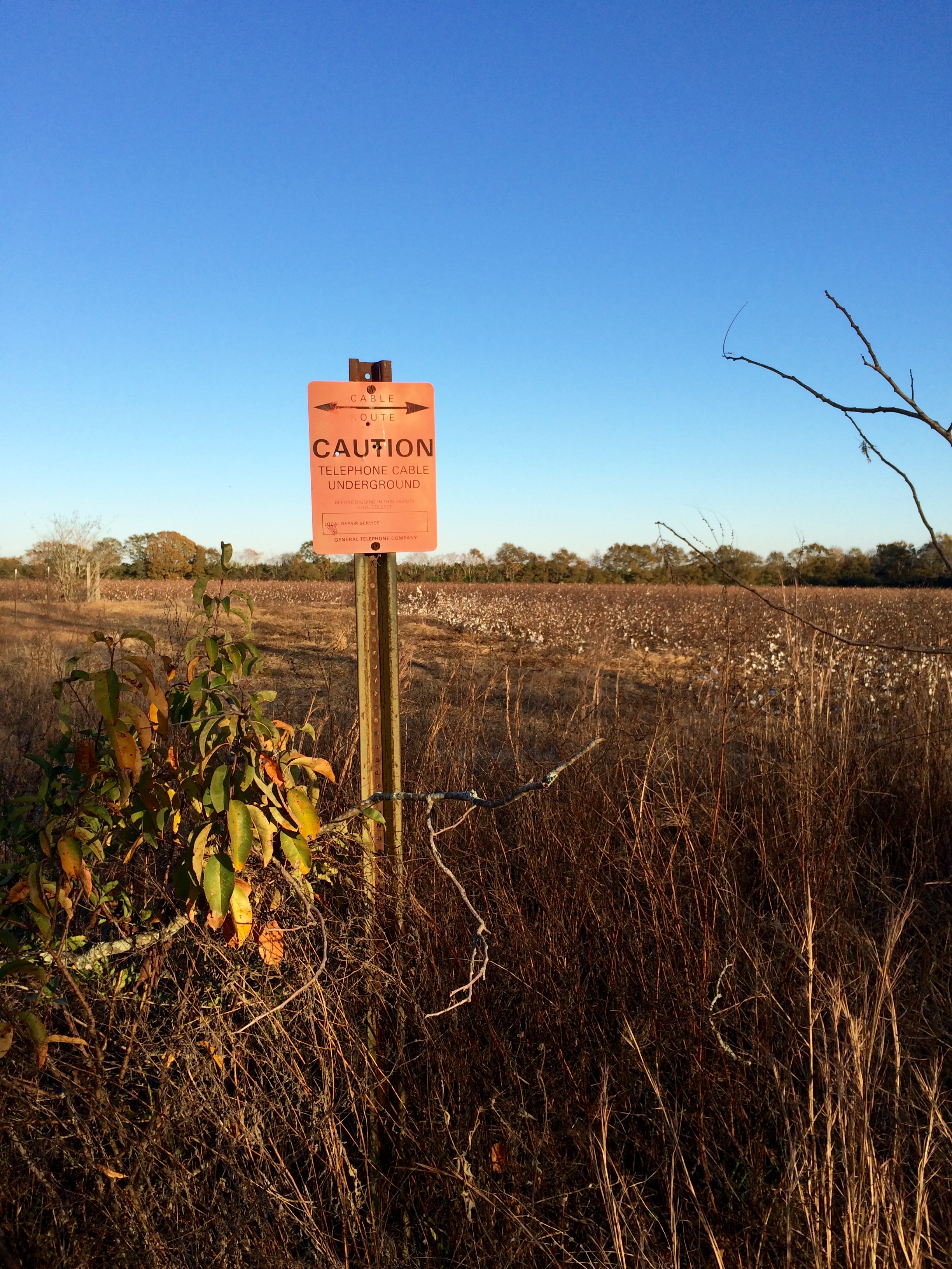
Alabama 2014
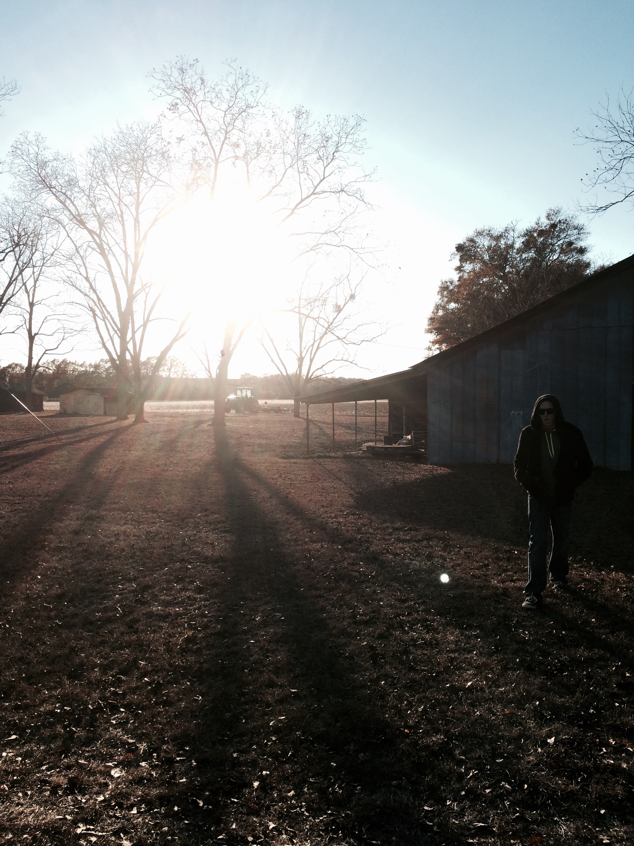
Alabama 2014
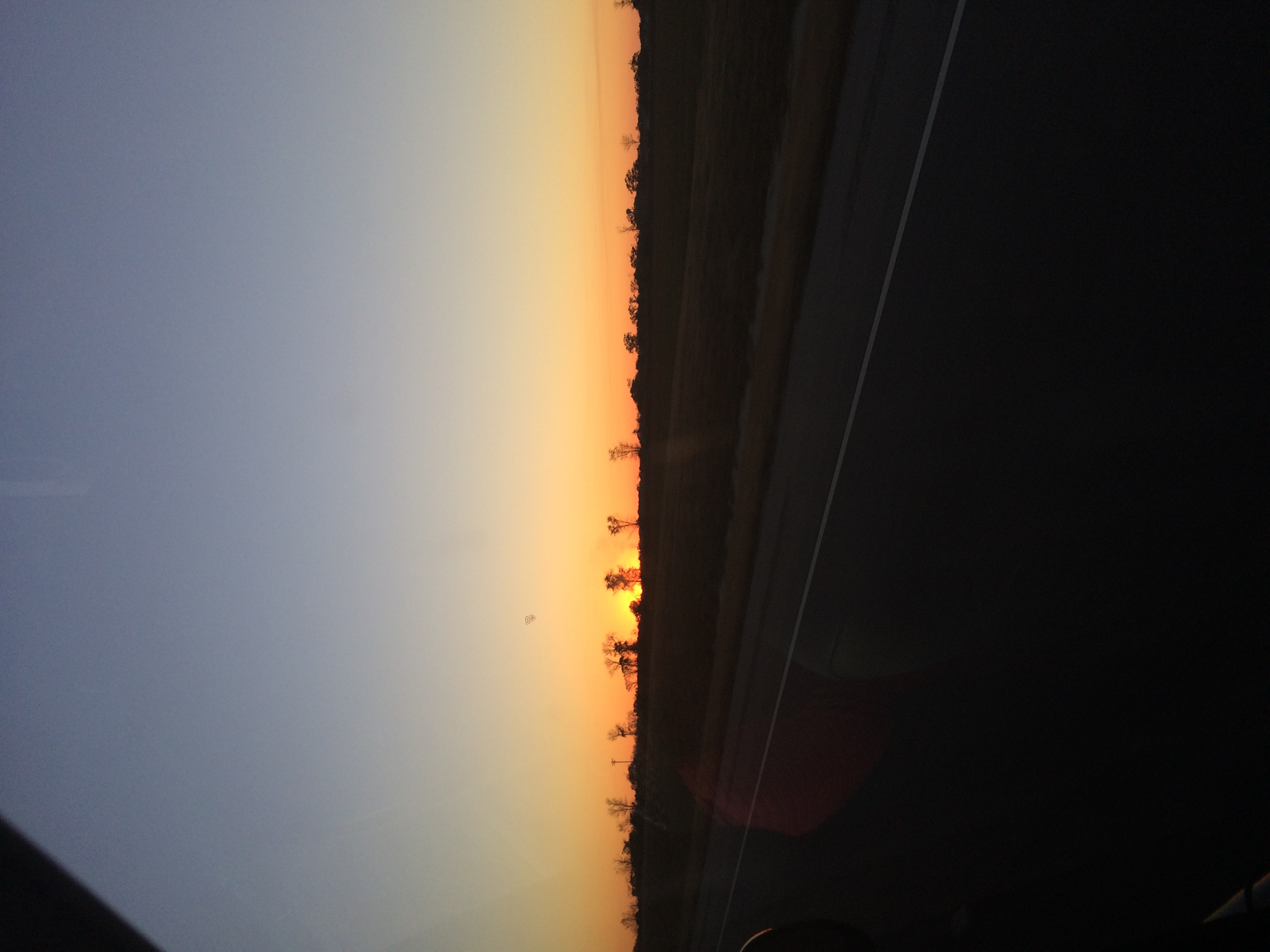
Alabama 2014

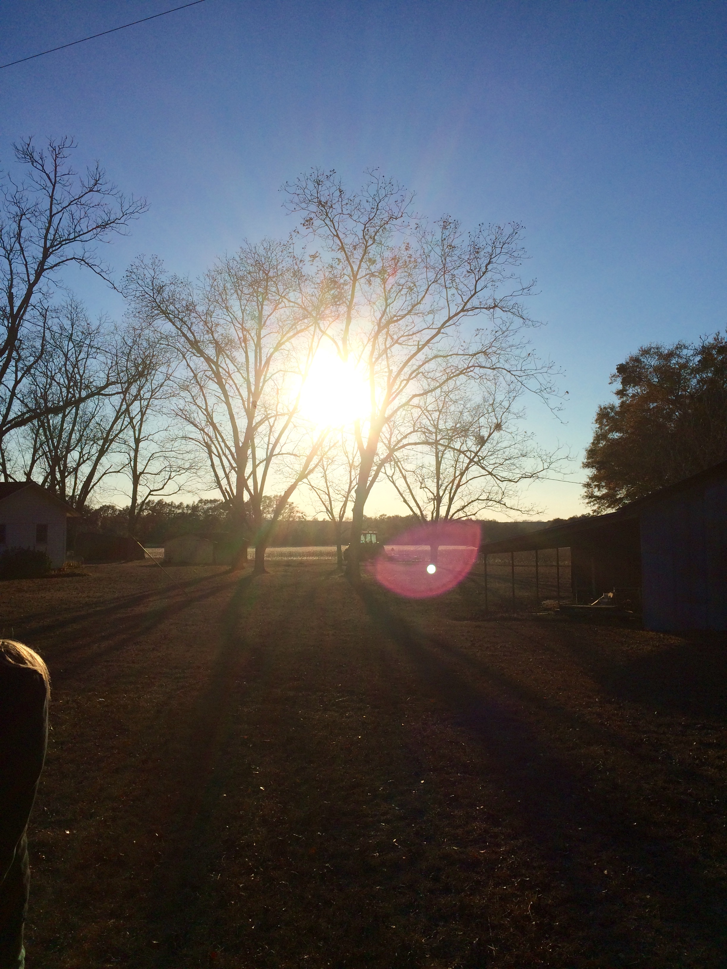
Alabama 2014
Alabama 2014
Alabama 2014
Alabama 2014

Alabama 2014
Topographic Map of Slocomb, AL, USA
Find elevation by address:

Places in Slocomb, AL, USA:
N Morris St, Slocomb, AL, USA
Tim Helms Rd, Slocomb, AL, USA
Bald Hill Rd, Slocomb, AL, USA
Produce Rd, Slocomb, AL, USA
Co Rd 28, Slocomb, AL, USA
Places near Slocomb, AL, USA:
N Morris St, Slocomb, AL, USA
Produce Rd, Slocomb, AL, USA
Geneva County
843 Al-123
Hartford
1537 Grady Garner Rd
Co Rd 28, Slocomb, AL, USA
Dearwood Drive
FL-79, Bonifay, FL, USA
Co Rd, Graceville, FL, USA
Whitaker Rd, Graceville, FL, USA
FL-2, Bonifay, FL, USA
Co Rd, Graceville, FL, USA
AL-, Slocomb, AL, USA
FL-2, Graceville, FL, USA
FL-79, Bonifay, FL, USA
1045 Coates Rd
Houston County, Cottonwood, AL, USA
Graceville
5400 College Dr
Recent Searches:
- Elevation of Congressional Dr, Stevensville, MD, USA
- Elevation of Bellview Rd, McLean, VA, USA
- Elevation of Stage Island Rd, Chatham, MA, USA
- Elevation of Shibuya Scramble Crossing, 21 Udagawacho, Shibuya City, Tokyo -, Japan
- Elevation of Jadagoniai, Kaunas District Municipality, Lithuania
- Elevation of Pagonija rock, Kranto 7-oji g. 8"N, Kaunas, Lithuania
- Elevation of Co Rd 87, Jamestown, CO, USA
- Elevation of Tenjo, Cundinamarca, Colombia
- Elevation of Côte-des-Neiges, Montreal, QC H4A 3J6, Canada
- Elevation of Bobcat Dr, Helena, MT, USA