Elevation of Sloane Peak, Colorado, USA
Location: United States > Colorado > Basalt >
Longitude: -106.89087
Latitude: 39.352485
Elevation: 3199m / 10495feet
Barometric Pressure: 68KPa
Elevation Map:
Satellite Map:
Related Photos:
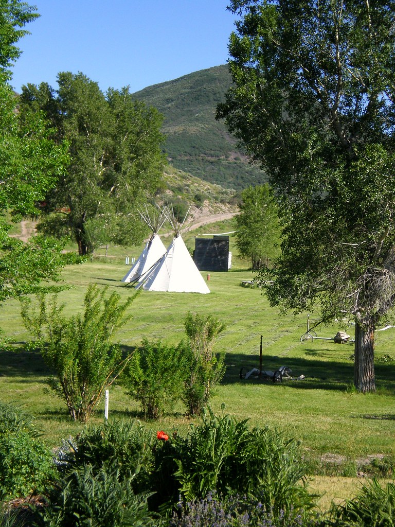
from Glenwood Springs to Boulder 049
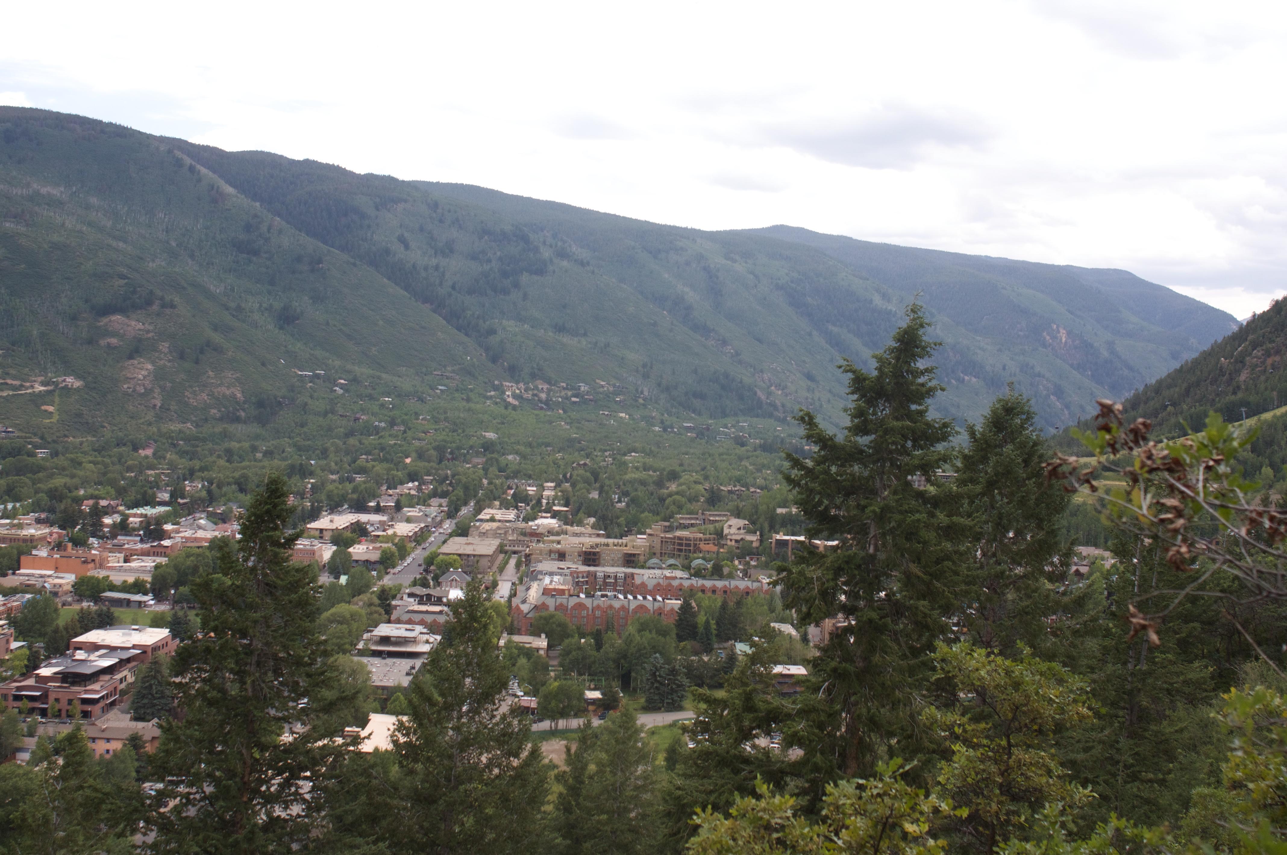
View from the Little Cloud Trail in Aspen, CO
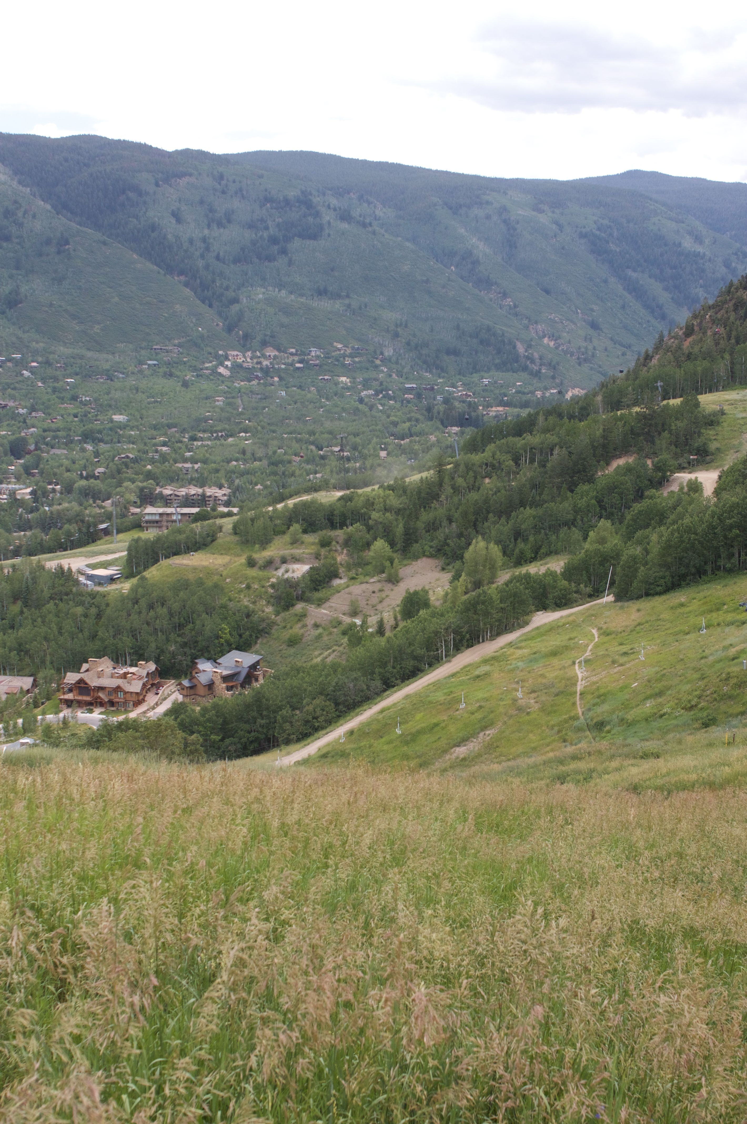
View from the Little Cloud Trail in Aspen, CO
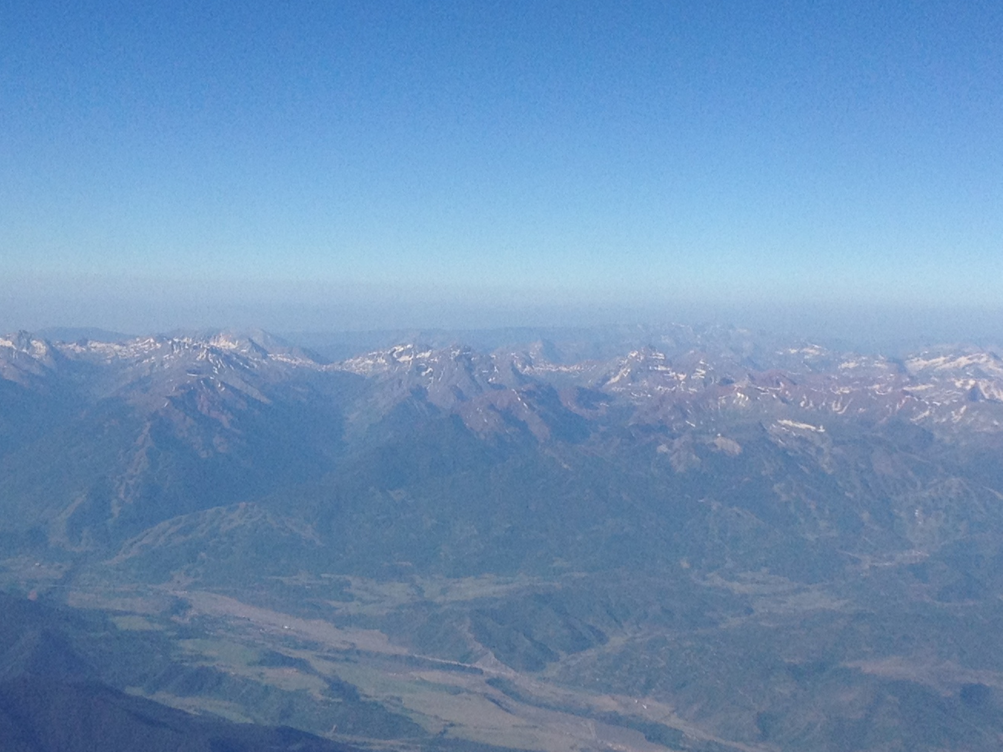
Aerial view of Aspen and Maroon Bells
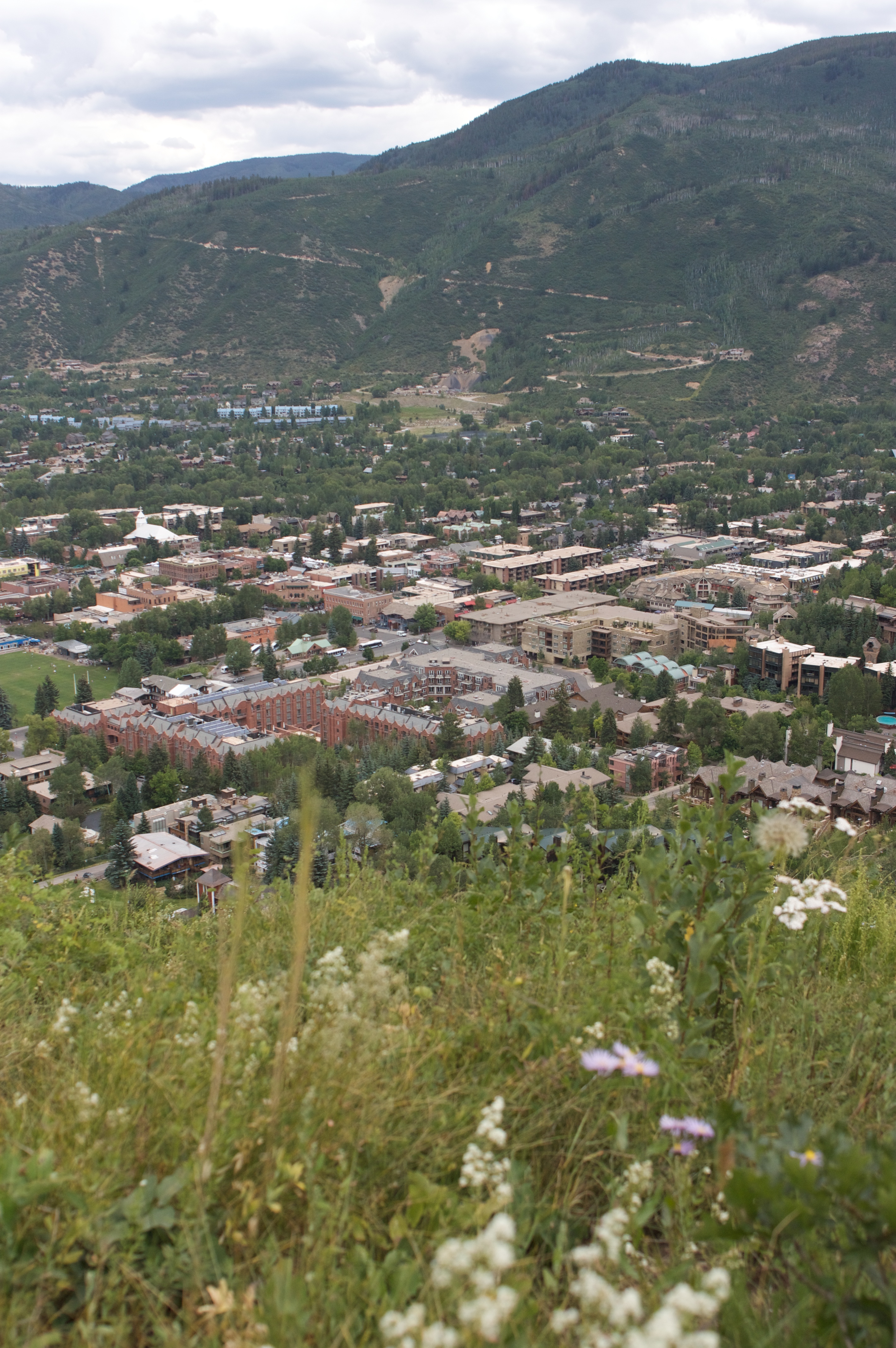
View from the Little Cloud Trail in Aspen, CO
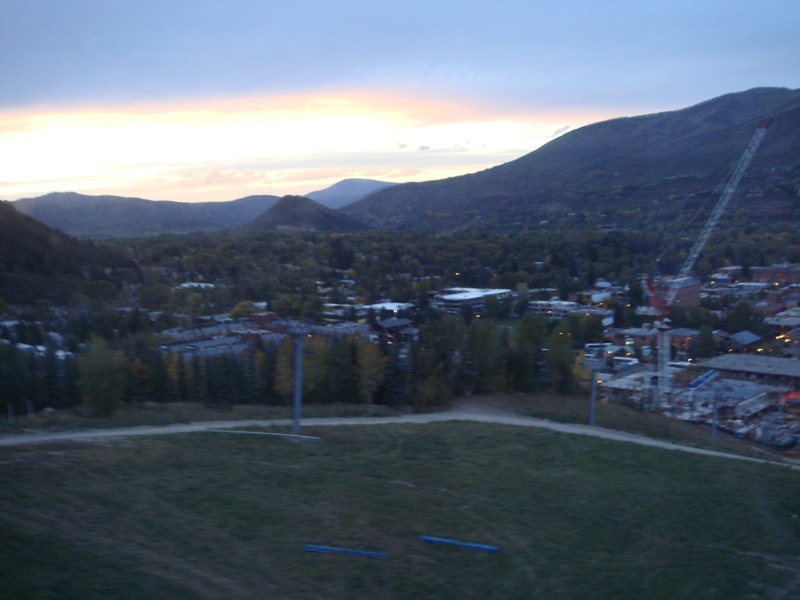
Gondola View
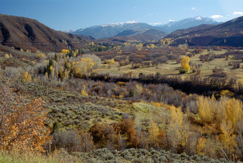
Watson Divide view
Topographic Map of Sloane Peak, Colorado, USA
Find elevation by address:

Places near Sloane Peak, Colorado, USA:
Triangle Peak
725 Aspen Valley Downs Rd Woody Creek
150 Woody Creek Plaza
Woody Creek
301 Liberty Ln
110-112
Snowmass
1951 Juniper Hill Rd
1261 Juniper Hill Rd
Picket Pin Lane
2661 Juniper Hill Rd
7039 E Sopris Creek Rd
154 Little Elk Creek Ave
146 Spur Ridge Ln
444 Snowmass Club Cir
240 Snowmass Club Cir
150 Snowmass Club Cir
Snowmass Club Circle
Basalt
7846 Snowmass Creek Rd
Recent Searches:
- Elevation of Corso Fratelli Cairoli, 35, Macerata MC, Italy
- Elevation of Tallevast Rd, Sarasota, FL, USA
- Elevation of 4th St E, Sonoma, CA, USA
- Elevation of Black Hollow Rd, Pennsdale, PA, USA
- Elevation of Oakland Ave, Williamsport, PA, USA
- Elevation of Pedrógão Grande, Portugal
- Elevation of Klee Dr, Martinsburg, WV, USA
- Elevation of Via Roma, Pieranica CR, Italy
- Elevation of Tavkvetili Mountain, Georgia
- Elevation of Hartfords Bluff Cir, Mt Pleasant, SC, USA